The best walks and hikes around Saint-Avit-Frandat
4.5
(127)
640
hikers
50
hikes
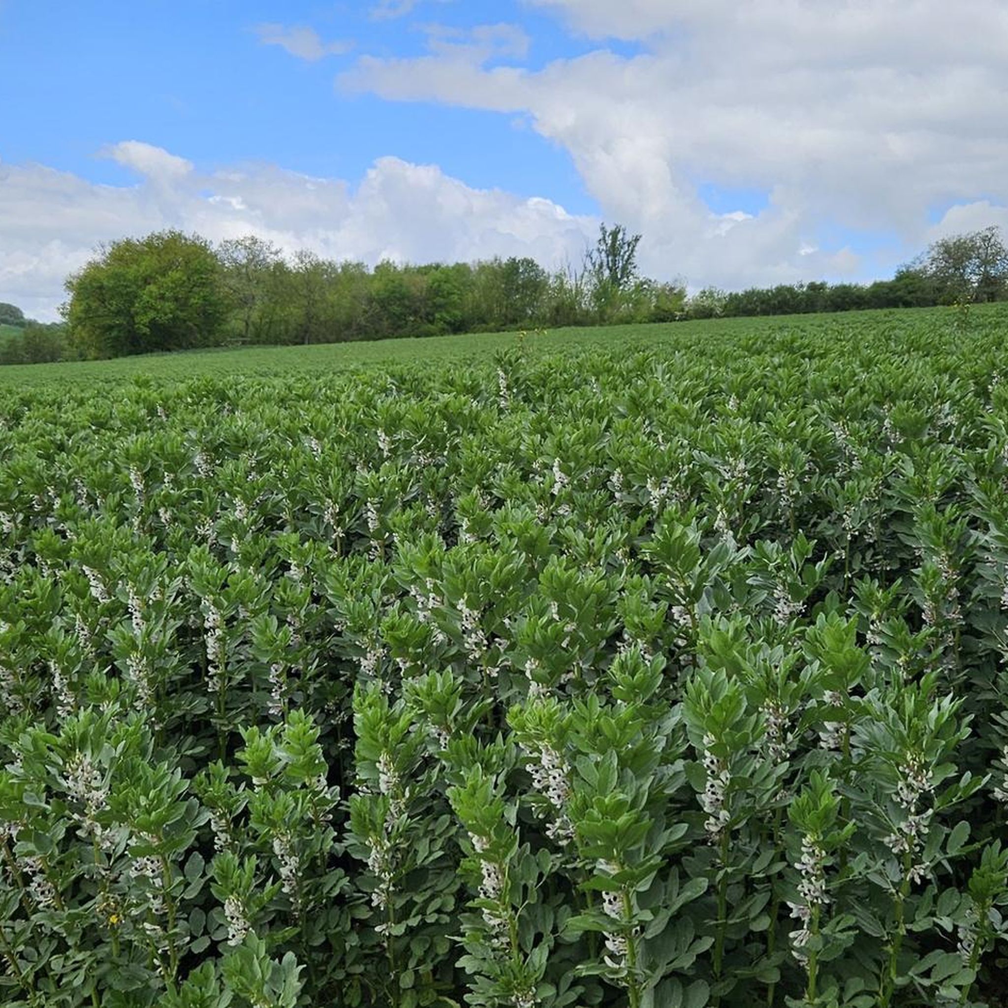
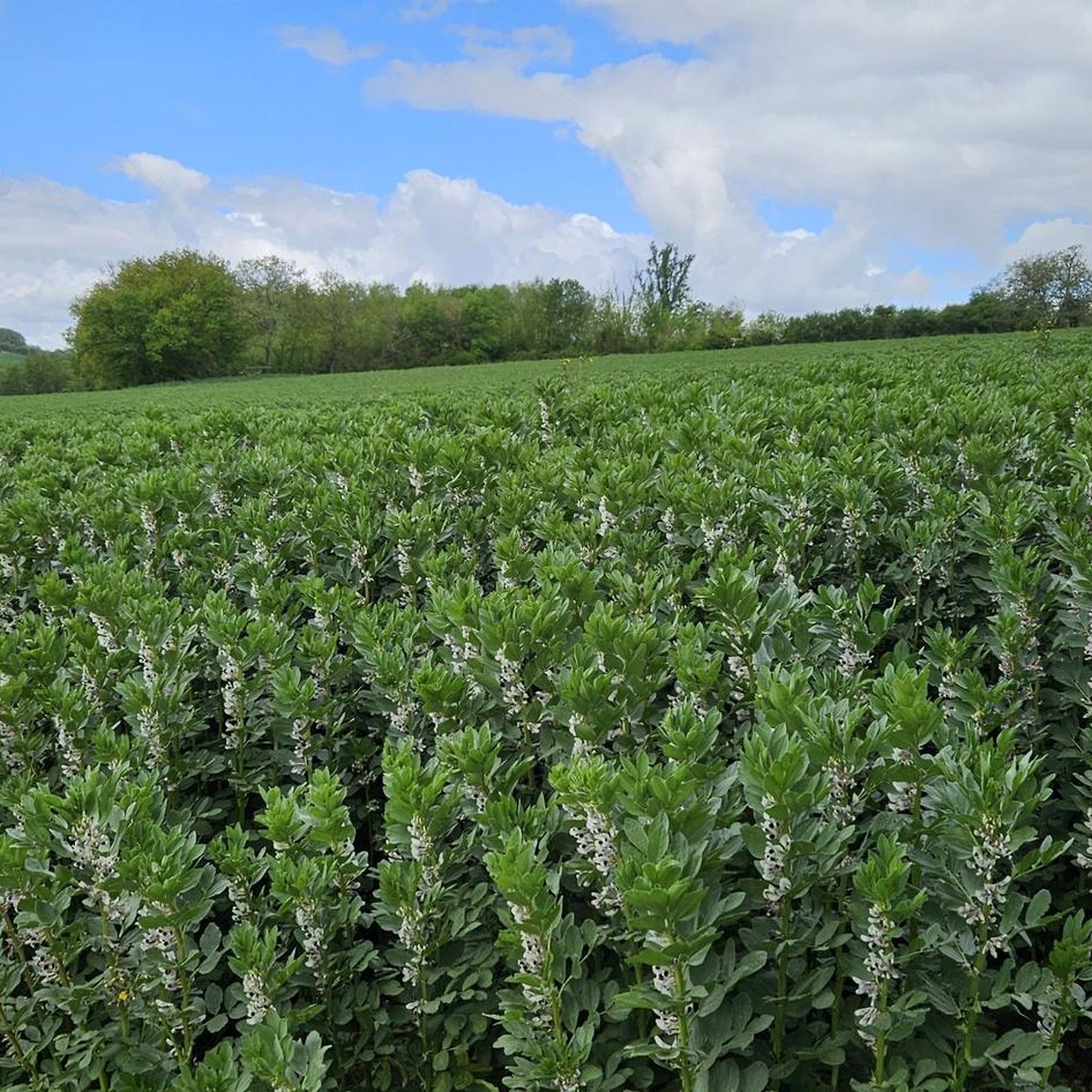
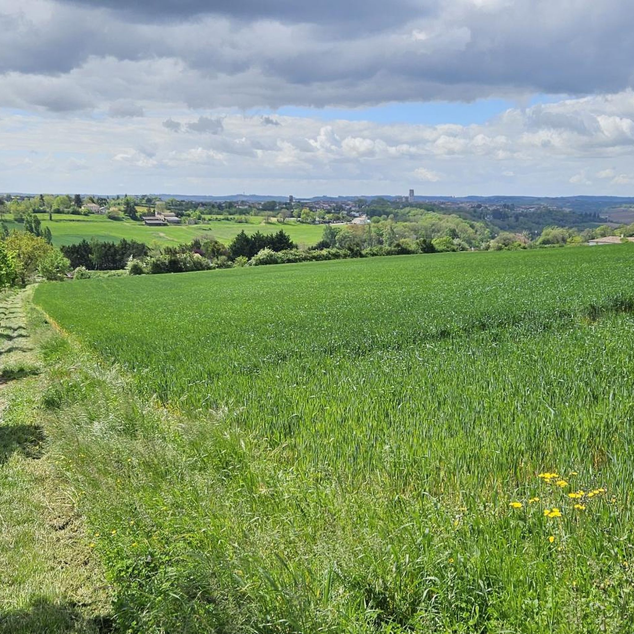
Hiking around Saint-Avit-Frandat offers exploration of a rural commune in the northern Gers department of Occitanie, France. The terrain is characterized by gently rolling landscapes, green hills, and expansive fields. Small streams, including the ruisseau de Maurens and ruisseau de Mulé, drain the area. Altitudes range from 96 meters to 195 meters, providing varied inclines.
Best hiking trails around Saint-Avit-Frandat
- The most popular hiking route is Around Lectoure — loop, a 4.7 miles (7.5 km) trail that takes 2…
Last updated: August 18, 2026
4.8
(8)
23
hikers
7.54km
02:06
140m
140m
Moderate hike. Good fitness required. Mostly accessible paths. Sure-footedness required.
4.8
(11)
30
hikers
11.5km
03:14
240m
240m
Moderate hike. Good fitness required. Easily-accessible paths. Suitable for all skill levels.

Sign up for free
4.8
(11)
29
hikers
9.63km
02:43
190m
190m
Moderate hike. Good fitness required. Easily-accessible paths. Suitable for all skill levels.
4.4
(31)
192
hikers
28.5km
07:49
460m
460m
Hard hike. Very good fitness required. Easily-accessible paths. Suitable for all skill levels.
4.7
(3)
17
hikers
15.7km
04:21
270m
270m
Moderate hike. Good fitness required. Easily-accessible paths. Suitable for all skill levels.
Get access to more routes and recommendations from other explorers.
Sign up for free
Already have an account?
Our route recommendations are based on thousands of hikes, rides, and runs completed by other people on komoot.
Start today with a free account
Your next adventure awaits.
Login or Signup

Tips from the Community

Very beautiful, richly decorated church from the 14th/15th century. There is a pilgrim stamp in front of the entrance gate!
1
0

Camping Lac des 3 Vallées highlights 140 hectares of wooded land in Lectoure, to the delight of campers. It is close to Castéra-Lectourois (11 km), Lagarde (11 km) and Terraube (12 km). In a hilly landscape with a lake, this campsite offers a water park, privileged locations and top services.
3
0
South of Lectoure, the Lac des 3 Vallées is a body of water located in the heart of the agricultural valleys of the Gers. It is fed by the Petit current. A nautical recreation center will be set up on the banks. You can practice all kinds of sporting activities and take walks on the lake. You can go around it and discover the surroundings via a 14 km walk.
3
0

On the Via Podiensis, pilgrims pass through many towns and can visit many churches. On the 19th stage (counting according to "Rother"), which leads from Saint-Antoine to Lectoure, this church is passed.
2
1
If, as a pilgrim, you have reached LECTOURE on the Camino de Santiago (Chemin de Saint-Jaques), following the Via Podiensis, on the 19th stage (according to the count of the "Rother") coming from Saint-Antoine, a visit to the Cathedral - if it's still open - shouldn't be missed. The fact that this church is no longer the seat of an independent diocese and therefore actually no longer a cathedral in the canonical sense is irrelevant. The church is dedicated to the early Christian martyrs Gervasius and Protasius.
2
3
The Occitan town of Lectoure is one of the stations that we reach or cross as pilgrims on the Way of St. James (Chemin de Saint-Jaques), the VIA PODIENSIS. It is the goal of the 19th stage (according to the count of the "Rother") coming from St.Antoine, the next day it goes on to Condom.
2
0

A beautiful place where you can hike from the village of Lectoure. In the middle of the vines, you will enjoy this view of the village which seems to float just above the vines. You will earn points if you manage to watch the sunrise!
2
1

a former castle in which tons of antiques are offered for sale in all rooms and on several floors
2
0
Frequently Asked Questions
How many hiking trails are available around Saint-Avit-Frandat?
There are over 50 hiking routes available in the Saint-Avit-Frandat area, offering a diverse range of experiences for all skill levels.
What is the general terrain like for hiking in Saint-Avit-Frandat?
The terrain around Saint-Avit-Frandat is characterized by gently rolling landscapes, green hills, and expansive fields of wheat and sunflowers. You'll encounter valleys dotted with vineyards and orchards, and cross several small streams like the ruisseau de Maurens and ruisseau de Mulé. Altitudes range from 96 to 195 meters, providing varied inclines.
Are there trails suitable for beginners or easy walks?
Yes, the region offers a good selection of easier trails. There are 20 routes specifically graded as easy, perfect for a leisurely stroll through the picturesque countryside.
Are there more challenging hikes for experienced trekkers?
For those seeking a challenge, there are 5 difficult routes available. One notable option is the Gachepouy Castle – Saint Blandine Church loop from Castet-Arrouy, which is a 27.2 km path connecting historical sites.
What natural features can I expect to see on hikes?
Hikers can enjoy the area's natural beauty, including rolling hills, agricultural fields, and a network of small streams. You might also encounter the Lake of the Three Valleys, which is featured on the Old Washhouse of Lectoure – Lake of the Three Valleys loop from Lectoure route.
Are there historical landmarks or attractions to visit along the trails?
Yes, the area is rich in history. You can explore sites like the 19th-century Eglise Saint-Avit, or visit nearby castles such as Château Arton and Château de Lacassagne. The Gachepouy Castle – Saint Blandine Church loop from Castet-Arrouy connects several historical points of interest, including the Cathedral of St. Gervasius and St. Protasius in Lectoure.
Are there any circular walks available in the area?
Many of the routes in the region are circular, allowing you to start and end at the same point. An example is the Lectoure, sunrise – Lectoure loop from Lotissement Les Charties, which takes you through the local countryside.
What do other hikers say about the trails in Saint-Avit-Frandat?
The trails in Saint-Avit-Frandat are highly rated by the komoot community, with an average score of 4.6 stars from over 100 reviews. Hikers often praise the well-maintained paths and the serene, picturesque landscapes of the Gers countryside.
Is Saint-Avit-Frandat a good destination for family-friendly hikes?
The gently rolling landscapes and numerous easy trails make the region suitable for family outings. While specific family-friendly routes are not highlighted, the 20 easy routes provide ample opportunities for enjoyable walks with children.
What is the best time of year to go hiking in Saint-Avit-Frandat?
The Lomagne Gersoise region, which includes Saint-Avit-Frandat, offers excellent hiking conditions year-round due to its favorable climate and topography. Spring and autumn are particularly pleasant, with mild temperatures and vibrant natural colors, while summer offers the chance to see expansive fields of sunflowers.
Are there any resources for finding more marked trails in the wider Lomagne region?
Yes, the Lomagne Gersoise region offers numerous marked trails. For additional information and resources on trails in the broader area, you can visit the local tourism website: tourisme-bastidesdelomagne.fr.
Most popular attractions around Saint-Avit-Frandat

Get inspired with the komoot mobile app


Explore more
Browse the best Hikes in other regions.
