The best road cycling routes around Saint-Martin-Du-Frêne
4.4
(118)
2,261
riders
113
rides
Road cycling routes around Saint-Martin-Du-Frêne traverse varied terrain, from undulating roads to significant climbs, within the Ain department of the Auvergne-Rhône-Alpes region. The area features elevations ranging from 476 to 1,125 meters, providing diverse cycling experiences. Cyclists can expect to encounter dense forests, winding river valleys, and scenic lakes such as Lac de Sylans and Nantua Lake. The region's network of roads, including departmental routes, offers options for different ability levels.
Best road cycling routes around Saint-Martin-Du-Frêne
- The most popular…
Last updated: July 4, 2026
6
riders
86.5km
04:37
1,540m
1,540m
Hard road ride. Very good fitness required. Mostly well-paved surfaces and easy to ride.
4.0
(2)
66
riders
62.4km
02:54
690m
690m
Moderate road ride. Good fitness required. Mostly well-paved surfaces and easy to ride.

Sign up for free
4.0
(2)
16
riders
51.8km
02:40
870m
870m
Moderate road ride. Good fitness required. Mostly well-paved surfaces and easy to ride.
4.0
(2)
18
riders
46.7km
02:28
920m
920m
Hard road ride. Very good fitness required. Mostly well-paved surfaces and easy to ride.
22
riders
21.2km
01:09
440m
440m
Moderate road ride. Good fitness required. Mostly well-paved surfaces and easy to ride.
Get access to more routes and recommendations from other explorers.
Sign up for free
Already have an account?
Our route recommendations are based on thousands of hikes, rides, and runs completed by other people on komoot.
Start today with a free account
Your next adventure awaits.
Login or Signup
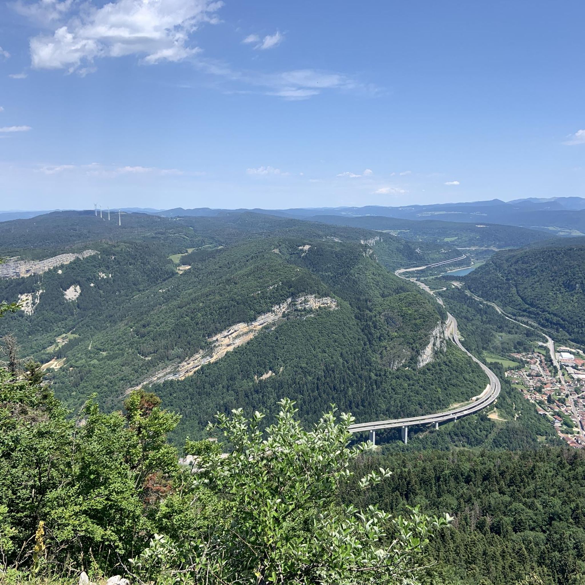
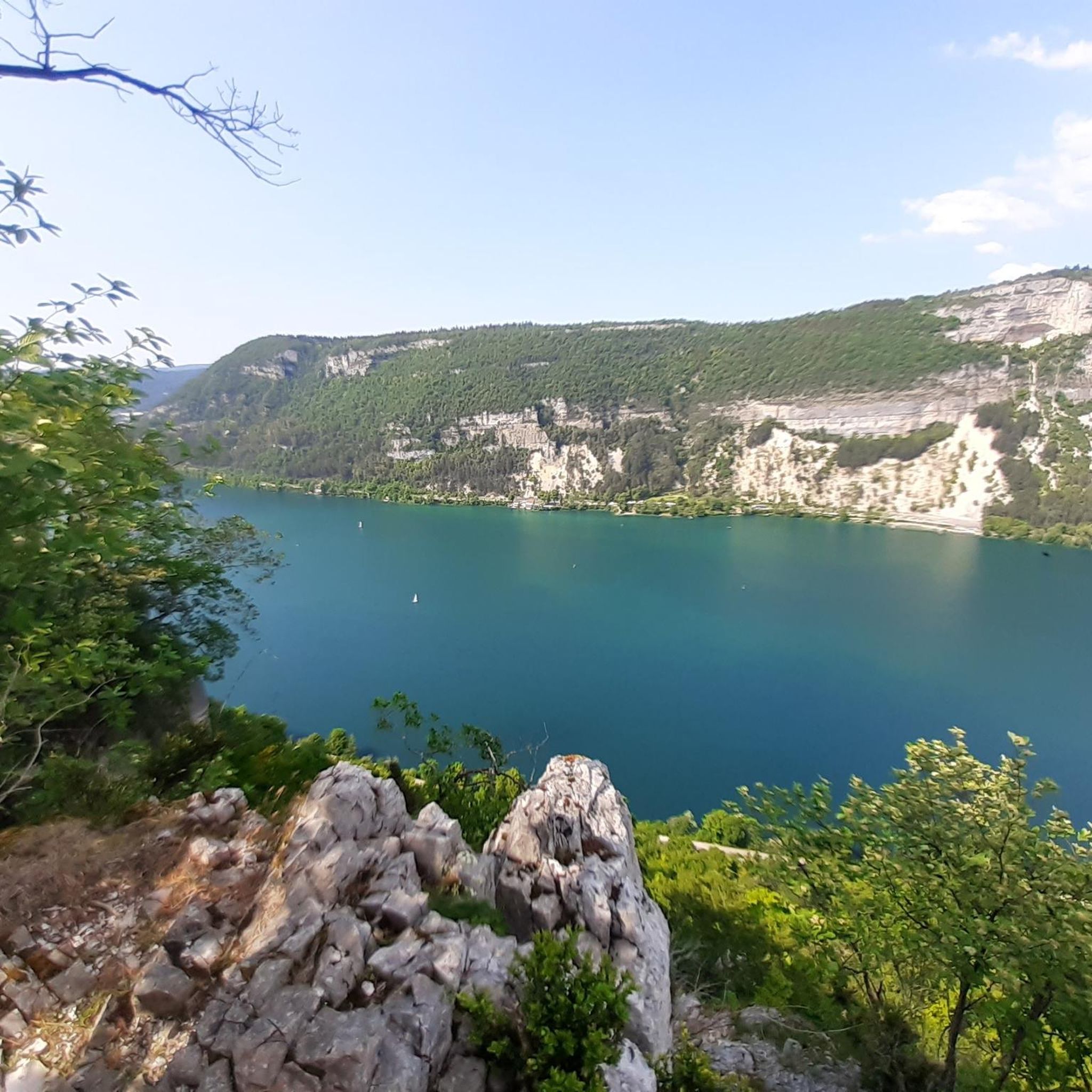

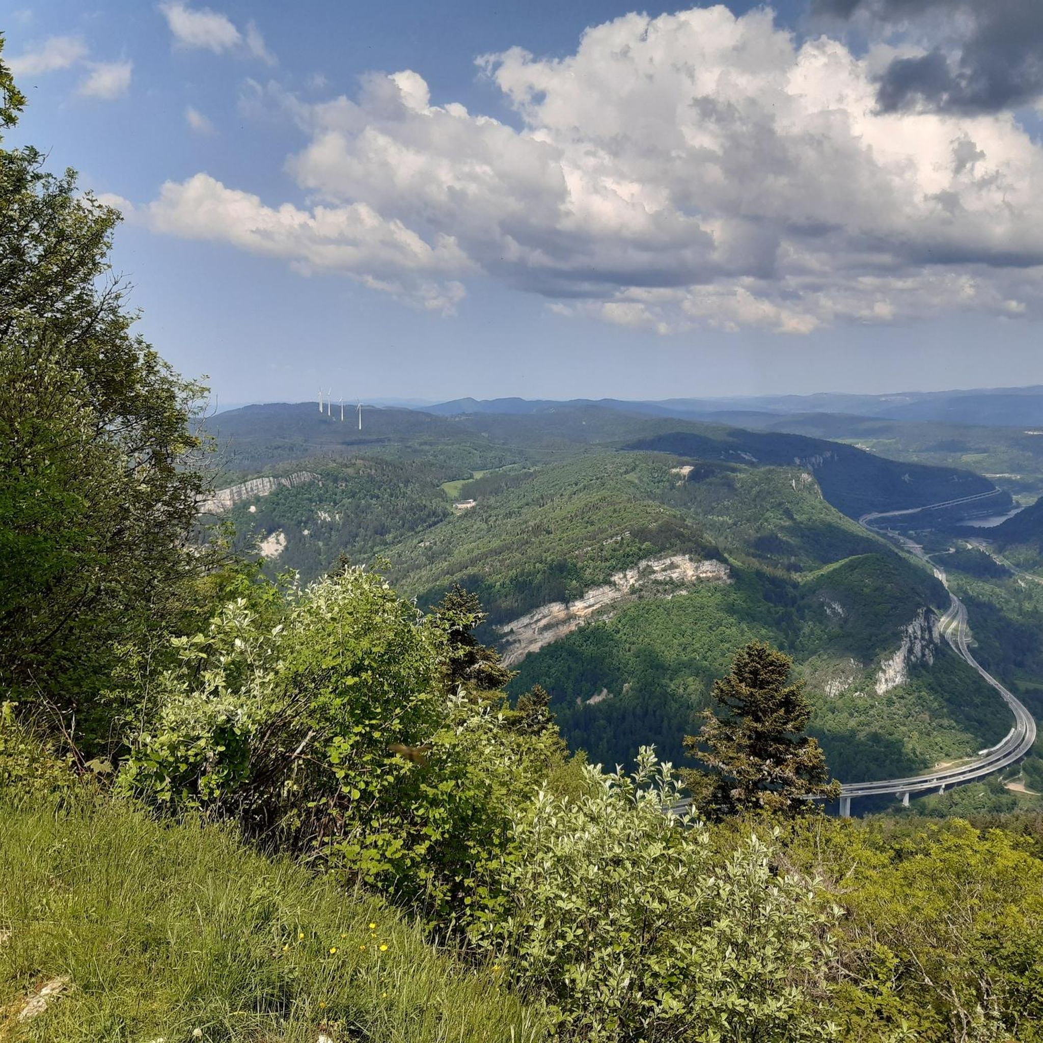
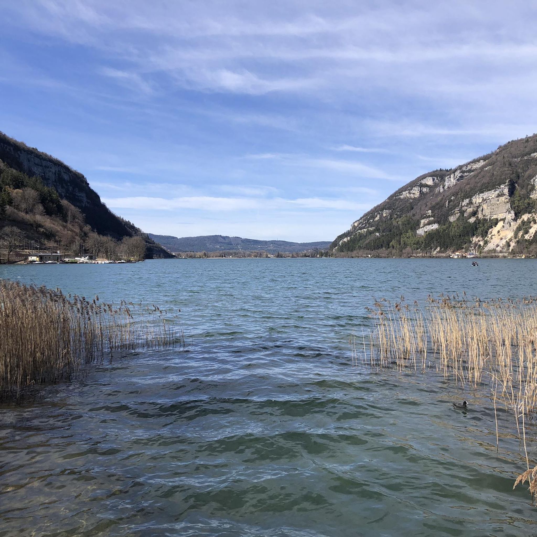
Tips from the Community

The Lac de Nantua is a superb body of water of 141 hectares. In the heart of the Jura, it offers an ideal setting for practicing a multitude of sports. It is even possible to swim in its waters.
1
0
The Marron ponds are named after a family from Brénod, it is not a reference to the color of the water. Only one of them remains filled with water all year round. This one served as a water reserve and fishing spot for the monks of the Meyriat abbey. In spring, a multitude of water lilies cover the surface.
0
0

The bridge separates two departments, the Jura and the Ain. "Iron bridge. For several centuries, the Ain was crossed at Thoirette using a ferry, called Christouphe's ferry, named after the commune where the passenger resided. From 1808 to 1811, the riparian communes contributed to building a bridge in place of this ferry. The project had been drawn up by Mr. Cordier, from Orgelet, an engineer then in charge of directing the works for the Simplon road. Various obstacles opposed the execution of this work. It was not until 1829 that an iron bridge was built, which collapsed in 1843. The Ain department has just replaced it with an iron bridge currently open to traffic". Statistique de la France - 1855 - Ministère de l'Agriculture by Imprimerie Impériale in Paris - p53.
0
0

Here is the route for the ascent of the Col de Cuvillat starting from Champdor
1
0

Beautiful, simple, easy walk; lots of traffic noise on the "road" section, a bit of a shame, but the color of the water is magical
1
0

The Col de Cuvillat connects Brénod to Champdor in the heart of Haut-Bugey. Easily accessible, it winds through forests and high-altitude meadows and reaches an altitude of 1,073 meters.
0
1
Beautiful castle in Champdor which sometimes hosts events.
1
0
Frequently Asked Questions
How many road cycling routes are available around Saint-Martin-Du-Frêne?
There are over 120 road cycling routes around Saint-Martin-Du-Frêne, catering to various skill levels. This includes 7 easy routes, 56 moderate routes, and 59 difficult routes, ensuring options for every cyclist.
What kind of terrain can I expect on road cycling routes around Saint-Martin-Du-Frêne?
The region offers diverse terrain, from undulating roads to significant climbs, with elevations ranging from 476 to 1,125 meters. You'll cycle through dense forests, winding river valleys, and past scenic lakes, particularly within the Monts d'Ain.
Are there challenging climbs for experienced road cyclists in the region?
Yes, the eastern part of the Ain region, accessible from Saint-Martin-Du-Frêne, is known for its challenging ascents. It features 18 marked passes, such as the nearby Col du Frêne, which has an average gradient of 6.8% over 9.8 kilometers, providing a significant test for seasoned riders.
What are some scenic lakes to cycle around near Saint-Martin-Du-Frêne?
The area boasts beautiful lakes perfect for scenic cycling. You can enjoy rides around the serene Lac de Sylans and Nantua Lake. The "Circuit Jurassic Vélo Tours n° 42" specifically includes a picturesque tour around Nantua Lake.
What notable landmarks or points of interest might I encounter on a road cycling route?
Cycling routes offer access to several points of interest. You can experience breathtaking panoramic views from the Monts d'Ain, potentially seeing the Alps and Mont Blanc on clear days. Other notable features include the impressive Cize-Bolozon Viaduct, the Cerdon Caves, and the Dinosaur Footprints of Villette.
Are there family-friendly road cycling options around Saint-Martin-Du-Frêne?
While many routes involve climbs, there are 7 easy road cycling routes available that are suitable for families or those preferring a gentler ride. These routes often feature lower elevation gains and quieter roads.
What do other road cyclists enjoy most about cycling in Saint-Martin-Du-Frêne?
The area is highly rated by the komoot community, with an average score of 4.5 stars from over 100 reviews. Cyclists often praise the varied terrain, the scenic beauty of the Monts d'Ain, and the well-maintained roads that cater to different ability levels.
Which road cycling routes offer views of the Cize-Bolozon Viaduct?
You can experience views of the Cize-Bolozon Viaduct on routes such as the Cize-Bolozon Viaduct – Cize Viaduct loop from Brion - Montréal-la-Cluse, which is a moderate 49.4 km ride. Another option is the more challenging Cize Viaduct – Ain Valley loop from Brion - Montréal-la-Cluse, covering 71.5 km.
Are there any routes that pass through the Monts d'Ain?
Many routes traverse the Monts d'Ain, offering stunning panoramic vistas. For example, the "Circuit Jurassic Vélo Tours n° 42 – Le tour des Monts d'Ain par la Chartreuse de Meyriat" directly passes through Saint-Martin-Du-Frêne, providing a moderate 39.9 km experience with 668 meters of elevation gain.
What is the best time of year for road cycling in Saint-Martin-Du-Frêne?
The region is generally pleasant for cycling from spring through autumn. Summer offers warm weather, while spring and autumn provide cooler temperatures and beautiful scenery. Always check local weather conditions before heading out, especially for higher elevation routes.
Are there any waterfalls accessible by road bike in the area?
Yes, the Cascade de la Pisse Vache is a natural monument in the vicinity that can be reached as part of a cycling tour, offering a refreshing stop along your route.
Are there any road cycling routes that include a pass?
Yes, routes like the Saint Martin Church – Col de Colliard pass loop from Brion - Montréal-la-Cluse, a 55.5 km trail, specifically lead through areas featuring passes, providing a classic road cycling challenge.
Most popular routes around Saint-Martin-Du-Frêne
Most popular attractions around Saint-Martin-Du-Frêne

Get inspired with the komoot mobile app


Explore more
Browse the best Road cycling routes in other regions.
