The best walks and hikes around La Guyonnière
4.5
(421)
1,934
hikers
15
hikes
Hiking around La Guyonnière offers diverse landscapes in the Vendée department of France. The region features a network of trails encompassing Lac du Jaunay, the characteristic Vendée Bocage with its hedgerows, and various forests and ponds. These natural features provide varied terrain for exploration, from lakeside paths to wooded areas and countryside routes. The area is known for its well-maintained trails suitable for different activity levels.
Best hiking trails around La Guyonnière
- The most popular hiking route is River House…
Last updated: July 2, 2026
4.0
(11)
33
hikers
15.1km
03:57
110m
110m
Moderate hike. Good fitness required. Easily-accessible paths. Suitable for all skill levels.
4.7
(3)
15
hikers
5.38km
01:22
10m
10m
Easy hike. Great for any fitness level. Easily-accessible paths. Suitable for all skill levels.

Sign up for free
3.5
(2)
9
hikers
10.3km
02:38
40m
40m
Moderate hike. Good fitness required. Easily-accessible paths. Suitable for all skill levels.
5.0
(1)
3
hikers
4.73km
01:14
40m
40m
Easy hike. Great for any fitness level. Easily-accessible paths. Suitable for all skill levels.
2
hikers
6.84km
01:45
20m
20m
Easy hike. Great for any fitness level. Easily-accessible paths. Suitable for all skill levels.
Get access to more routes and recommendations from other explorers.
Sign up for free
Already have an account?
Our route recommendations are based on thousands of hikes, rides, and runs completed by other people on komoot.
Start today with a free account
Your next adventure awaits.
Login or Signup

Tips from the Community

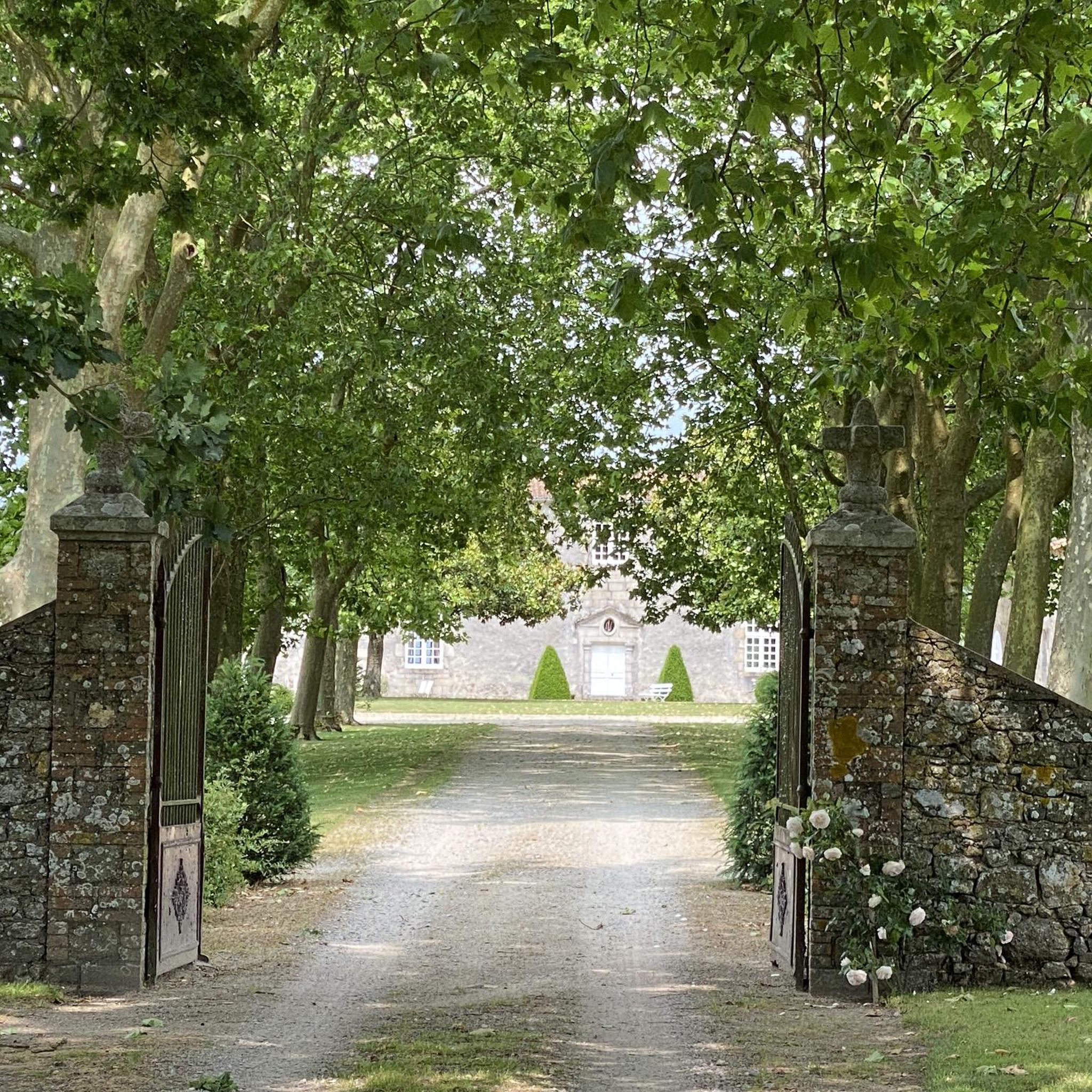
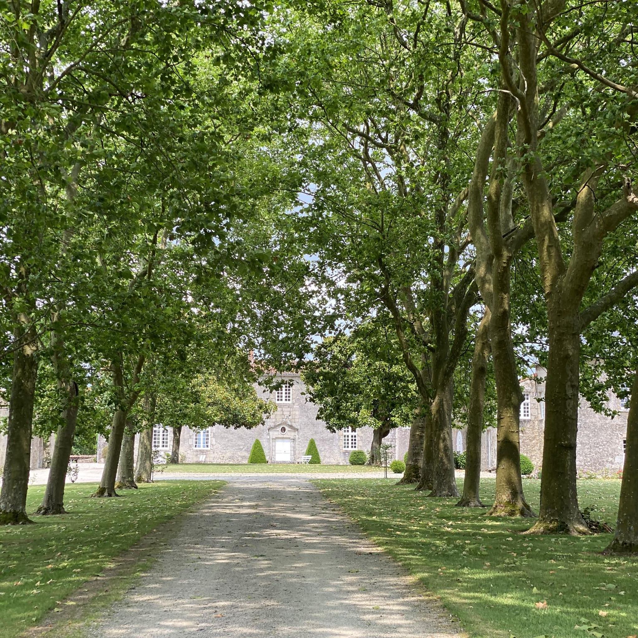
A beautifully restored old watermill, in the heart of a beautiful natural site.
0
0
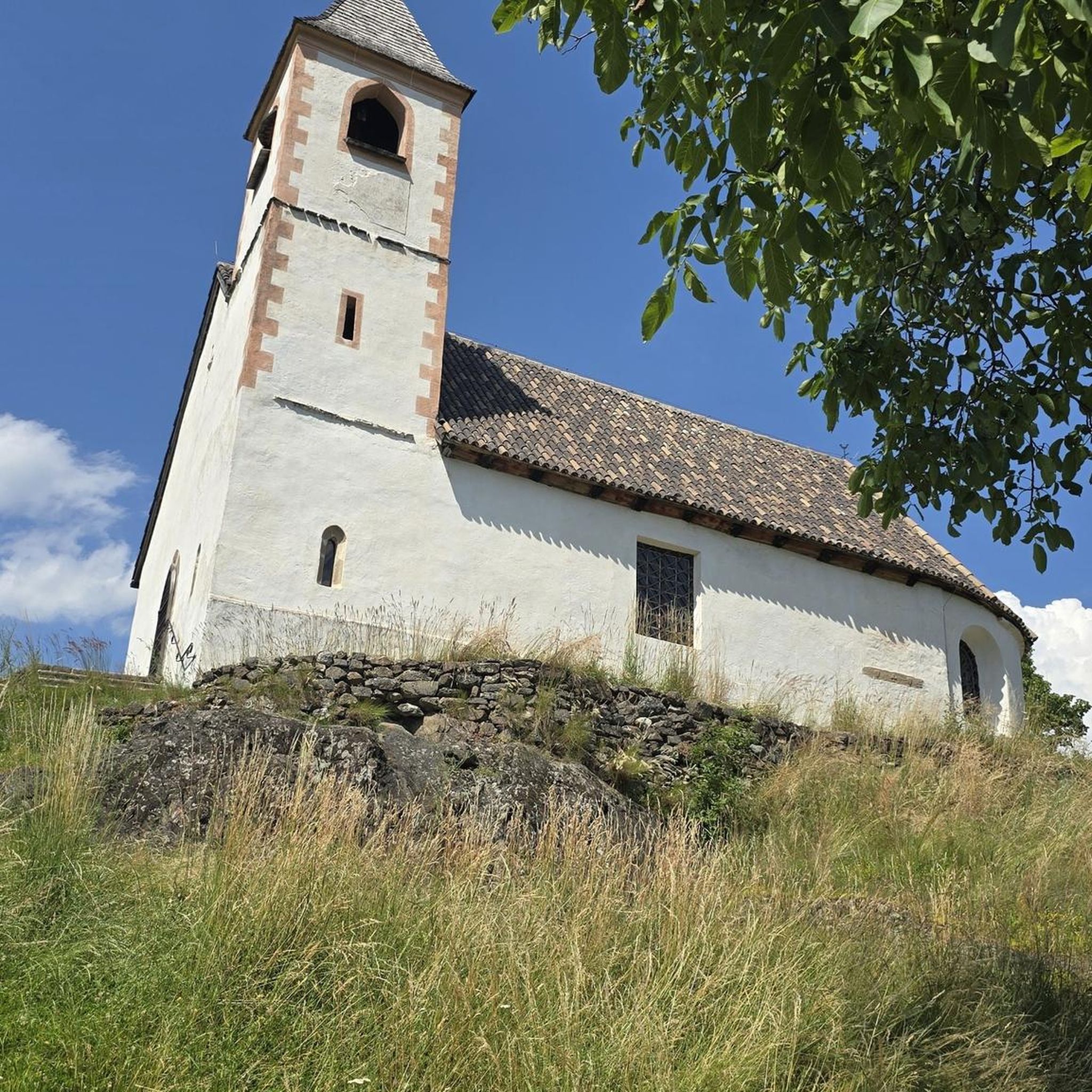
19th century church whose unfinished bell tower was topped with a slate spire which clashes a little - a lot - with the rest of the monument.
0
0

The River House is a preserved natural setting spanning over 10 hectares where art and nature blend together. Imagine a river and its watermill, surrounded by 10 hectares of nature... Boat trips on the Grande Maine, family treasure hunts, twilight strolls, onboard drinks, and an art exhibition with free access on the shaded banks and in the old mill.
0
0
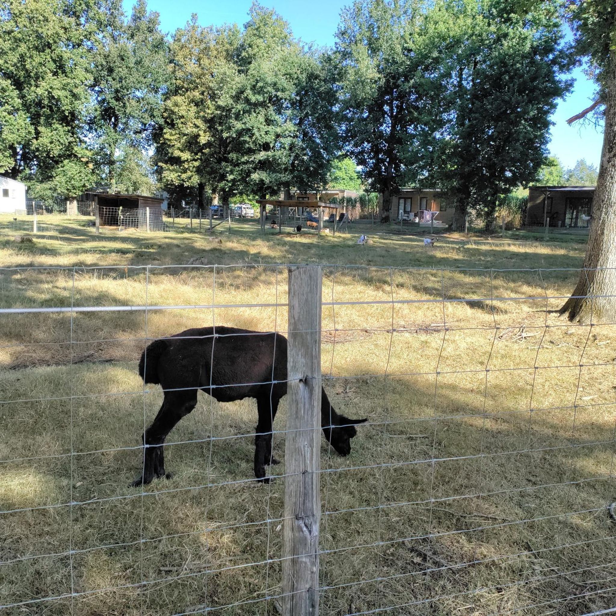
Located east of the Parc des Remparts, the first part of the Val d'Asson Park opened in September 2020. The second part will open in July 2023. In total, it covers 5 hectares of greenery in the heart of the city. Located in the city center, parking is available at Place de l'Hôtel-de-Ville or Rue du Pont-Jarlet. Admission is free and the park is open year-round. The various paths and footbridges are accessible to people with reduced mobility. The 5 hectares of parkland connect the city center with the Hauts de Montaigu district. Crossed by the Asson River, the park features a variety of vegetation that grows along the stream's banks. When it was created, the preservation of flora and fauna was a major objective. An eco-grazing area was created there.
0
0
. Originally, there was an ovoid-shaped enclosure flanked by about ten towers and a gatehouse, located to the northeast. The fortified town was located to the north of the fortress and extended a little to the east. A dry moat separated the fortified town from the fortress. A barbican protected the gatehouse. A Romanesque keep of the Niort type, with its courtyard and small enclosure, was located in the castle courtyard, roughly in the middle in the north-south direction and located to the west. The fortified city extended from the rue de Gaulle, a gate was located at the level of the Carré de l'Europe (the porte de Nantes), then the ramparts continued along the rue de la Place du Champ de Foire, then went back down the Esplanade des Olivettes, where a gate was located towards the roundabout of the rue des Jardins (porte de Tiffauges) then the ramparts ran along the Asson to go up the rue du Pont Jarlet and around the barbican not far from the Presbytery The dry moats surrounding the city were 16 meters deep in the 15th century, today they are flowered and are the subject of different colored squares decorating this part of the ramparts.
0
0
In the 9th century, a castrum, a wooden castle built on a mound of earth, was built to counter the Viking raids that had previously sacked the city of Durivum (Saint-Georges-de-Montaigu). For strategic reasons, this fortress was built on a rocky spur at the junction between the Maine and Asson rivers. Maurice I of Montaigu, the first known lord, witnessed the consecration of the church of Saint-Nicolas de la Chaize-le-Vicomte in 1099. His successor until 1174 was Brient I of Commequiers, married to his daughter, Agathe de Montaigu. Later, his grandchildren, Brient II, Maurice II "the Younger," and Marguerite, succeeded him. It was perhaps this Brient II who had the Romanesque keep built in 1218, a large square tower with flat corner towers. He also removed the wooden palisade, replacing it with a wide moat extending to the Saint-Georges Gate. The Montagues (also known as Belleville by marriage around 1180) pledged allegiance to the Plantagenets, Henry II, Richard the Lionheart, and John Lackland. Margaret of Belleville-Montaigu, daughter of Brient de Montaigu and Agnes de Belleville, granddaughter of Maurice I de Montaigu, sister of Maurice II de Belleville-Montaigu, married Hugh of Thouars in 1203. In 1227, the couple submitted to Philip Augustus through the ceremony of homage. Hugh of Thouars died in 1229, and Margaret remarried in 1235 to the Duke of Brittany, Mauclerc, whose real name was Pierre de Dreux. Marguerite de Montaigu died in 1241, childless. The lordship of Montaigu fell to her nephew, Maurice III de Belleville-Montaigu (d. c. 1297; son of Maurice II). He became lord of Montaigu upon the death of Mauclerc in 1250[2], and his son Maurice IV (d. c. 1292) ensured the succession through his children Jeanne (d. 1284 Geoffroy II David de La Flocellière) and Maurice V de Belleville-Montaigu (he married 1° Sibylle, daughter of Geoffroy VI de Châteaubriant, then 2° Isabelle/Létice de Parthenay, daughter of Guillaume V Larchevêque de Parthenay). Jeanne de Belleville (c. 1300-c. 1359), daughter of Maurice V of Montaigu and Létice of Parthenay, married Olivier IV of Clisson for the second time in 1328. Olivier IV was executed by beheading after being suspected of "felony" against the English, during the Hundred Years' War. Jeanne became a privateer with her children Olivier V and Jeanne de Clisson, in revenge, and was banished from the kingdom of France. While she attacked French ships, the fortress of Montaigu was held by the English, according to the Treaty of Brétigny-Calais, a garrison of which engaged in pillaging the surrounding area. Jeanne lost her ship and withdrew with her children to England. Olivier V, having grown up, rallied to the king of France, recovered his property in 1362 and fought the English with Bertrand du Guesclin. In 1373, Olivier and Bertrand succeeded in driving the English out of Montaigu, and Olivier ceded the lordship to his sister Jeanne, who had married an English captain, Jean Harpedenne. The latter sided with the King of France in 1373 and became Jean de Belleville. His grandson, Jean III, married Charles VII's half-sister, Marguerite de Valois, in 1433. Louis I de Belleville succeeded Jean III. King Louis XI advised him to fortify the town between 1464 and 1468 to protect it from the Bretons.
0
0
The church of Saint-Georges-de-Montaigu, in Vendée, Pays de la Loire, is part of the parish of Saint Martin de Montaigu in the deanery of Montaigu in the diocese of Luçon. In many regions, Saint George is considered the patron saint of knights, particularly thanks to the legend recounting his miraculous intervention in Antioch during the First Crusade. June 15, 2012
0
0

The Pont Neuf which now bears its name badly since it is the oldest bridge in Montaigu...
0
0
Frequently Asked Questions
What types of landscapes can I expect to see while hiking in La Guyonnière?
La Guyonnière offers a diverse range of landscapes. You'll encounter the picturesque Lac du Jaunay, the distinctive Vendée Bocage with its hedgerows and wooded fields, and tranquil forest areas like the Pays de Mont National Forest and Bois Dauphin. Many routes also feature ponds and rivers, adding to the varied natural scenery.
Are there hiking trails suitable for beginners or those looking for an easy walk?
Yes, La Guyonnière has a good selection of trails for all abilities. Out of the 14 routes available, 9 are classified as easy. An example is the Lake La Chausselière loop from La Guyonnière, which is 5.4 km long and takes about 1 hour 22 minutes to complete.
What are some interesting landmarks or attractions I can see near the hiking trails?
Hiking in La Guyonnière often combines natural beauty with cultural and historical sights. You can discover religious heritage along routes like the 'Hike of Meslay,' which passes by the Abbey and Chapel of Meslay. Other notable attractions in the wider area include Montaigu Castle and Tiffauges Castle. The Lac de la Bultière is another beautiful spot to explore.
Are there any circular walks available in La Guyonnière?
Many of the trails in La Guyonnière are designed as loops, offering convenient circular walks. For instance, the River House – A bucolic path loop from La Guyonnière is a moderate 15.1 km route, and the A bucolic path – Lake La Chausselière loop from La Guyonnière is a 10.3 km moderate option.
What do other hikers say about the trails in La Guyonnière?
The hiking routes in La Guyonnière are highly regarded by the komoot community, with an average score of 4.5 stars from over 350 reviews. Hikers often praise the well-maintained paths, the scenic beauty of Lac du Jaunay, and the peaceful atmosphere of the Vendée Bocage.
Can I bring my dog on the hiking trails in La Guyonnière?
While specific regulations can vary, generally, dogs are welcome on many outdoor trails in France, especially if kept on a leash. It's always advisable to check local signage at trailheads for any specific restrictions, particularly around nature reserves or protected areas near Lac du Jaunay.
Are there family-friendly hiking options in La Guyonnière?
Yes, the region is well-suited for family walks. The Vendée Bocage offers lush, green settings perfect for appreciating local flora and fauna, and many trails are relatively flat and easy. Geocaching trails are also available, particularly around Lac du Jaunay, which can make hiking an engaging treasure hunt for children.
How long are the hiking trails in La Guyonnière?
The trails in La Guyonnière vary in length to suit different preferences. Within the Pays des Achards region, routes range from 1.5 km to 12 km. For example, you can find shorter easy walks like the 5.4 km Lake La Chausselière loop from La Guyonnière, or longer moderate options such as the 15.1 km River House – A bucolic path loop from La Guyonnière.
Is there parking available at the trailheads?
Yes, the region's well-maintained road network allows for easy access to various starting points. You will typically find designated parking areas near popular trailheads, especially around Lac du Jaunay and other key attractions. It's always a good idea to check specific route details for parking information before you go.
What is the best time of year to go hiking in La Guyonnière?
La Guyonnière is enjoyable for hiking throughout much of the year. Spring and autumn offer pleasant temperatures and beautiful scenery with blooming flora or vibrant fall colors. Summer is also popular, especially around Lac du Jaunay, but can be warmer. Winter hikes are possible, offering a different, quieter perspective of the landscapes.
Are there any trails that offer views of Lac du Jaunay?
Absolutely. Lac du Jaunay is a central feature of the region, and many trails encircle it, offering stunning views of the lake's blue waters and surrounding greenery. Routes like the 9 km 'Jaunay Lake Tour' (mentioned in regional research) provide excellent opportunities to experience these panoramas.
Where can I find more information about the 'Guyonnière Trail'?
The 'Guyonnière Trail' is a 2.9 km route that showcases the local area. For more detailed information, you can visit the local tourism website: achards-tourisme.com.
Most popular routes around La Guyonnière
Most popular attractions around La Guyonnière

Get inspired with the komoot mobile app


Explore more
Browse the best Hikes in other regions.
