The best walks and hikes around Bad Brückenau
4.5
(1566)
6,277
hikers
156
hikes
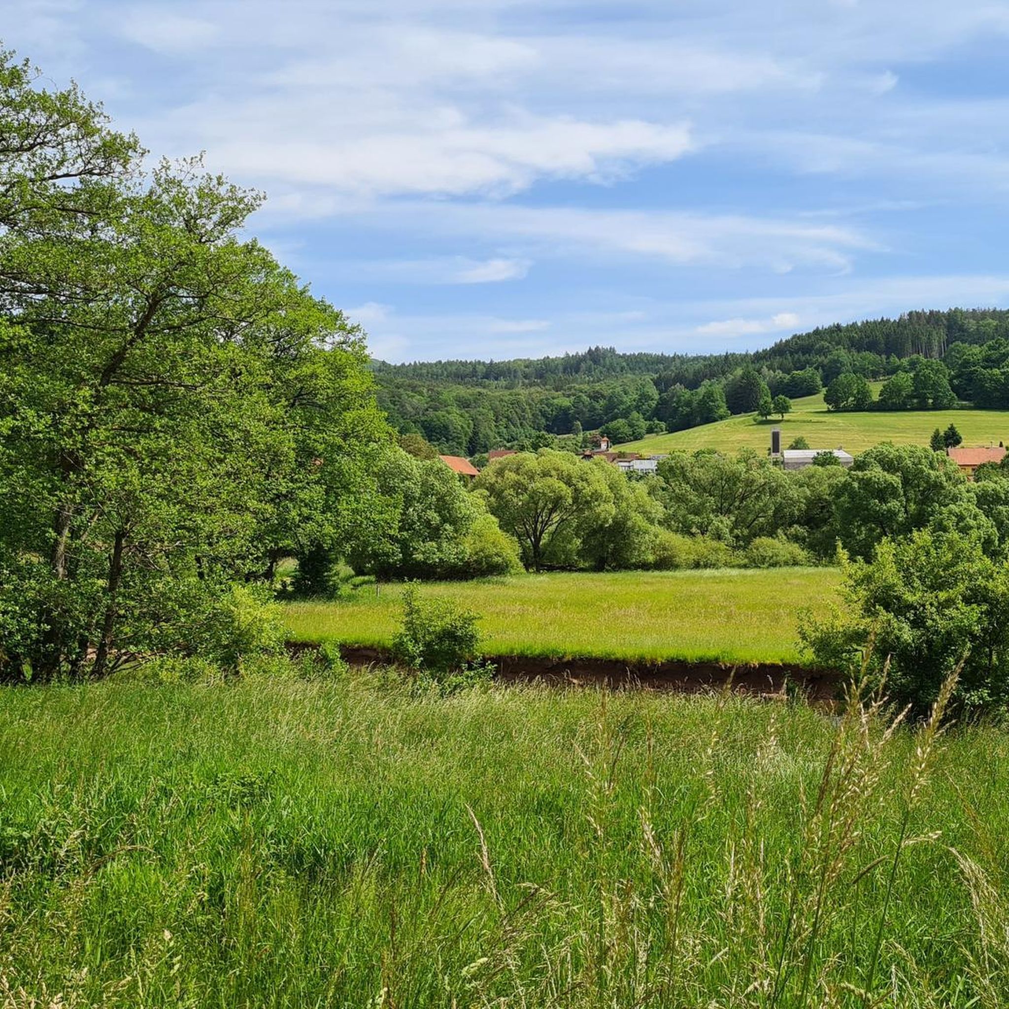
Hiking around Bad Brückenau offers diverse experiences within the Bavarian Rhön Nature Park and UNESCO Rhön Biosphere Reserve. The region is characterized by dense forests, rolling hills, and the picturesque Sinntal (Sinn Valley), providing varied terrain for exploration. Hikers can expect trails winding through woodlands, along river environments, and over gentle ascents to viewpoints. This landscape provides a natural setting for outdoor activities, with elevations generally under 200 meters, classifying them as hills.
Best hiking trails around Bad Brückenau
- The…
Last updated: July 5, 2026
4.5
(226)
691
hikers
9.14km
02:44
260m
270m
Moderate hike. Good fitness required. Easily-accessible paths. Suitable for all skill levels.
4.5
(122)
567
hikers
Easy hike. Great for any fitness level. Easily-accessible paths. Suitable for all skill levels.

Sign up for free
4.5
(73)
294
hikers
7.04km
02:13
170m
170m
Moderate hike. Good fitness required. Mostly accessible paths. Sure-footedness required.
4.7
(54)
208
hikers
Moderate hike. Good fitness required. Mostly accessible paths. Sure-footedness required.
3.9
(43)
214
hikers
Easy hike. Great for any fitness level. Easily-accessible paths. Suitable for all skill levels.
Get access to more routes and recommendations from other explorers.
Sign up for free
Already have an account?
Our route recommendations are based on thousands of hikes, rides, and runs completed by other people on komoot.
Start today with a free account
Your next adventure awaits.
Login or Signup
Popular around Bad Brückenau

Extra tours South - Excellent premium hiking trails of the Rhön

Hiking in the Rhön Mountains where nature and history combine
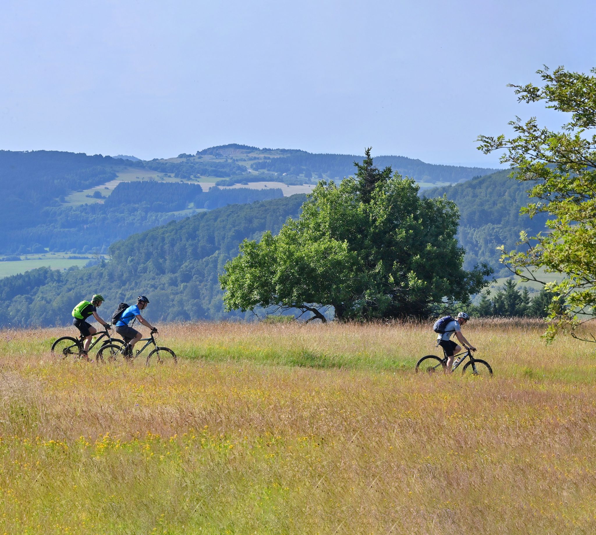
Mountain bike routes in the Rhön
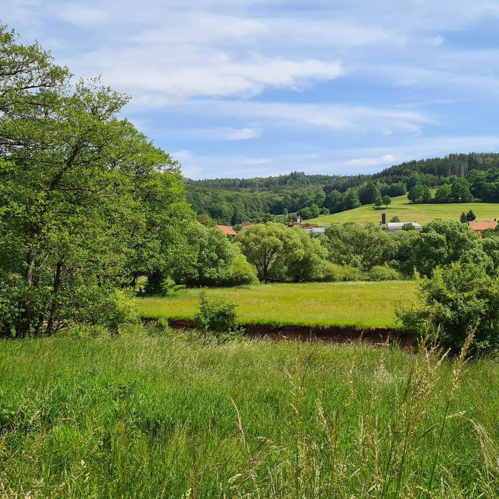
Cycling around Bad Brückenau
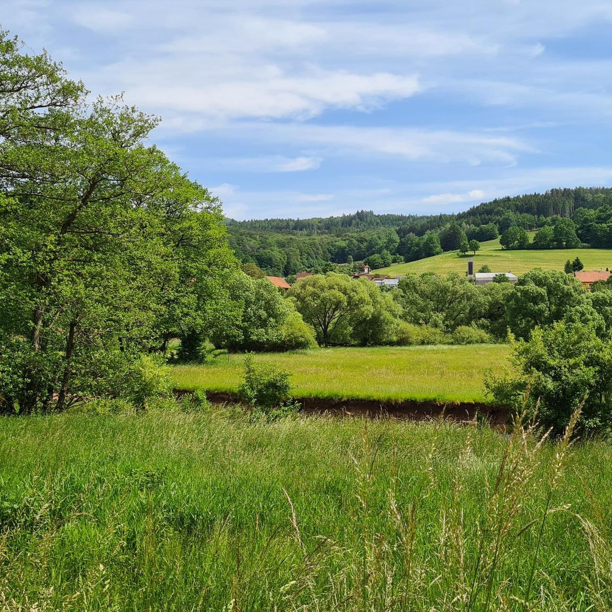
MTB Trails around Bad Brückenau
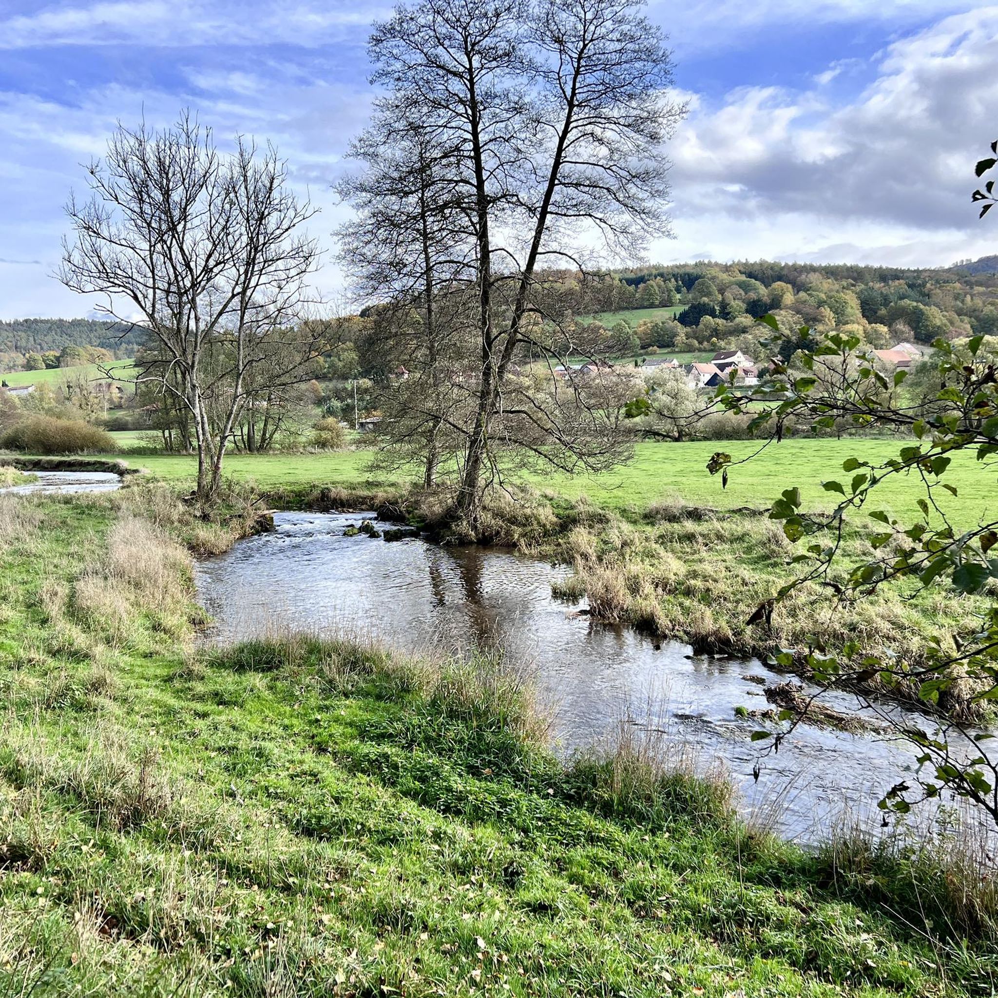
Running Trails around Bad Brückenau
Road Cycling Routes around Bad Brückenau

Gravel biking around Bad Brückenau
Other adventures around Bad Brückenau


Tips from the Community

The approximately 70 km long Sinn is the largest tributary of the Fränkische Saale in the German states of Bavaria and Hesse. It rises in the Rhön and flows predominantly southwards. Its confluence with the Fränkische Saale is shortly before its confluence with the Main. Source: Wikipedia
1
0
The Sinn, approximately 70 km long, is the largest tributary of the Fränkische Saale in the German states of Bavaria and Hesse. It originates in the Rhön and flows predominantly southwards. Its confluence with the Fränkische Saale is shortly before its confluence with the Main. Source: Wikipedia
1
0
The approximately 70 km long Sinn is the largest tributary of the Fränkische Saale in the German states of Bavaria and Hesse. It originates in the Rhön and flows predominantly south. Its confluence with the Fränkische Saale is shortly before its confluence with the Main. Source: Wikipedia
1
0
Wernarz was mentioned in 1454 as a settlement of a man named Wernher. In 1939, the until then independent municipality of Wernarz was incorporated into Brückenau. Source: Wikipedia
2
0

This pergola has grown beautifully.
6
0

Beautiful view of the Rhön and surrounding area.
0
0
Short steep climb, especially at the beginning.
0
0

Frequently Asked Questions
How many hiking trails are available around Bad Brückenau?
There are over 150 hiking routes available around Bad Brückenau, offering a wide variety of experiences within the Bavarian Rhön Nature Park and UNESCO Rhön Biosphere Reserve.
What kind of terrain can I expect on hikes in Bad Brückenau?
The terrain around Bad Brückenau is characterized by diverse landscapes. You'll find trails winding through dense forests, over rolling hills, and along the picturesque Sinntal (Sinn Valley). The region is part of the Rhön Biosphere Reserve, known for its varied natural features, including lush meadows and some mystical moors.
Are there hiking options for all skill levels in Bad Brückenau?
Yes, Bad Brückenau offers hiking trails suitable for all levels. There are over 60 easy routes for leisurely strolls, around 90 moderate trails for those seeking a bit more challenge, and a few more difficult options for experienced hikers.
Are there any circular hiking routes in Bad Brückenau?
Yes, many routes in Bad Brückenau are circular. For example, the Beaver Water World on the Sinn – Beaver Platform Sinnaue loop from Staatsbad Brückenau is an easy circular path along the Sinn river. Another option is the Bad Brückenau Spa Park – Elisabethenhof, Bad Brückenau loop from Staatsbad Brückenau, which explores the historic landscape park.
Can I find hikes with good viewpoints in the Bad Brückenau area?
Absolutely. The region offers several spots with panoramic views. The Platzer Kuppe summit is a popular resting spot with scenic vistas. You can also find great views from the Mottener Haube Observation Tower and the View from Feuerberg.
Are there family-friendly hiking trails in Bad Brückenau?
Yes, Bad Brückenau has many family-friendly options, particularly the easier routes. Trails along the Sinn river, such as the Beaver Water World on the Sinn – Beaver Platform Sinnaue loop from Staatsbad Brückenau, are generally flat and offer interesting natural features like beaver platforms for children to enjoy.
Are dogs allowed on hiking trails in Bad Brückenau?
Most hiking trails in the Bad Brückenau region are dog-friendly, allowing you to explore the natural beauty with your canine companion. It's always recommended to keep dogs on a leash, especially in nature reserve areas, to protect local wildlife and ensure a pleasant experience for all hikers.
What interesting natural features or landmarks can I see while hiking?
While hiking, you can explore the pristine Sinn river environment, known for its beaver platforms. The Staatsbad Bad Brückenau features a 40-hectare landscape park with rare trees, including a 'thousand-year-old oak'. You can also discover various summits like the Platzer Kuppe summit and historical sites like the Legend of the Three Proud Ladies of Dreistelz.
Are there any huts or places to rest along the trails?
Yes, the region around Bad Brückenau offers several huts where hikers can rest. Notable options include the Würzburger Karl-Straub-Haus, the Rhön Mountain Lodge, and the Kissinger Hut with view of Kreuzberg.
What do other hikers enjoy most about hiking in Bad Brückenau?
The hiking routes in Bad Brückenau are highly rated by the komoot community, with an average score of 4.6 stars from over 1,400 reviews. Hikers often praise the diverse natural landscapes, the well-marked trails through dense woodlands and along river valleys, and the opportunities to experience the tranquility of the Rhön Biosphere Reserve.
Is there parking available at the trailheads?
Yes, many trailheads in and around Bad Brückenau, especially near the Staatsbad and popular starting points, offer designated parking areas for hikers. It's advisable to check specific route details for parking information before your hike.
What is the best time of year to go hiking in Bad Brückenau?
Bad Brückenau offers hiking opportunities throughout the year. Spring brings blooming meadows, summer provides lush green forests, and autumn showcases vibrant foliage. Even in winter, when conditions allow, some trails are suitable for snowshoeing or winter walks, offering a different perspective of the serene landscape.
Most popular routes around Bad Brückenau
Most popular attractions around Bad Brückenau

Get inspired with the komoot mobile app


Explore more
Browse the best Hikes in other regions.
