The best gravel rides around Bad Brückenau
5.0
(12)
72
riders
21
rides
Gravel biking around Bad Brückenau offers diverse terrain within the Rhön Nature Park and UNESCO Rhön Biosphere Reserve. The region features a low mountain range characterized by ancient volcanic basalt formations, expansive meadows, and dense woodlands. Riders can expect a mix of paved and unpaved paths, with clear streams and river valleys like the Sinn River also forming part of the landscape. This varied environment provides suitable conditions for gravel cycling.
Best gravel bike trails around Bad Brückenau
- The most…
Last updated: July 2, 2026
5.0
(2)
10
riders
34.7km
02:26
740m
750m
Hard gravel ride. Very good fitness required. Mostly paved surfaces. Suitable for all skill levels.
12
riders
69.1km
04:22
1,180m
1,180m
Hard gravel ride. Very good fitness required. Mostly paved surfaces. Suitable for all skill levels.

Sign up for free
5.0
(1)
7
riders
Hard gravel ride. Very good fitness required. You may need to push your bike for some segments of this route.
5.0
(2)
5
riders
50.9km
03:28
1,000m
1,000m
Hard gravel ride. Very good fitness required. You may need to push your bike for some segments of this route.
5.0
(1)
5
riders
Hard gravel ride. Very good fitness required. Mostly paved surfaces. Suitable for all skill levels.
Get access to more routes and recommendations from other explorers.
Sign up for free
Already have an account?
Our route recommendations are based on thousands of hikes, rides, and runs completed by other people on komoot.
Start today with a free account
Your next adventure awaits.
Login or Signup
Popular around Bad Brückenau

Extra tours South - Excellent premium hiking trails of the Rhön
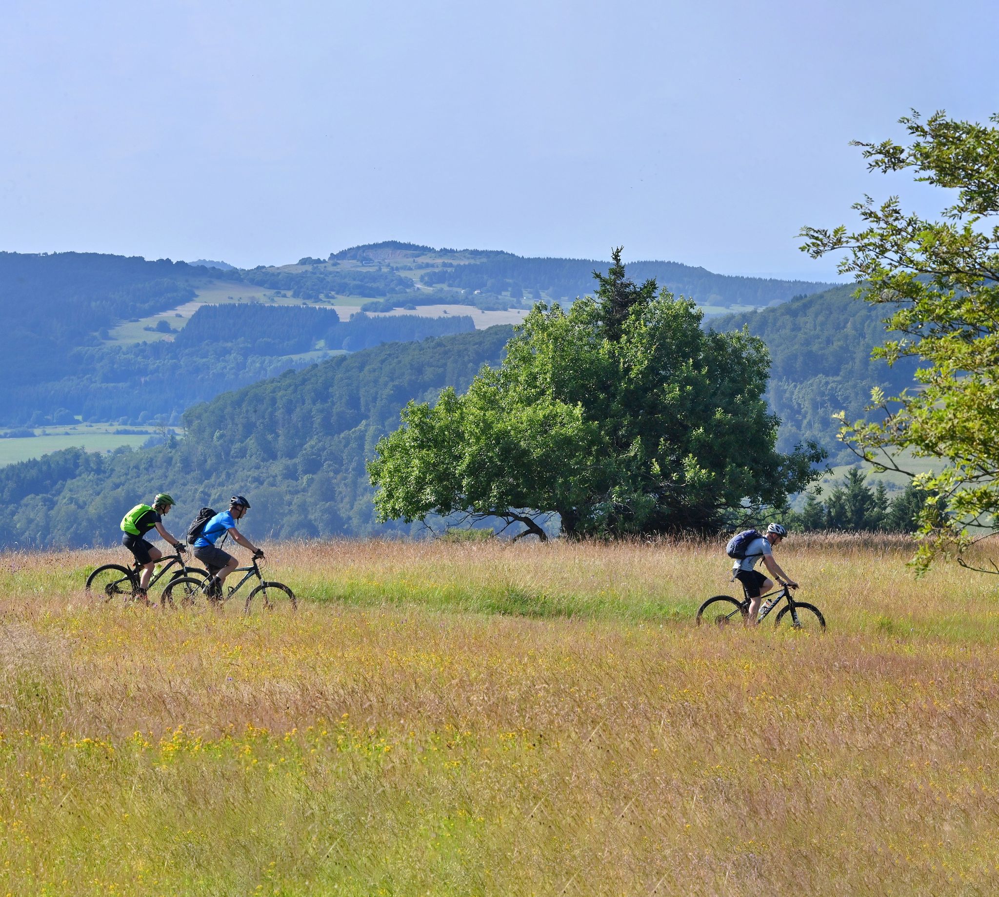
Mountain bike routes in the Rhön

Hiking in the Rhön Mountains where nature and history combine
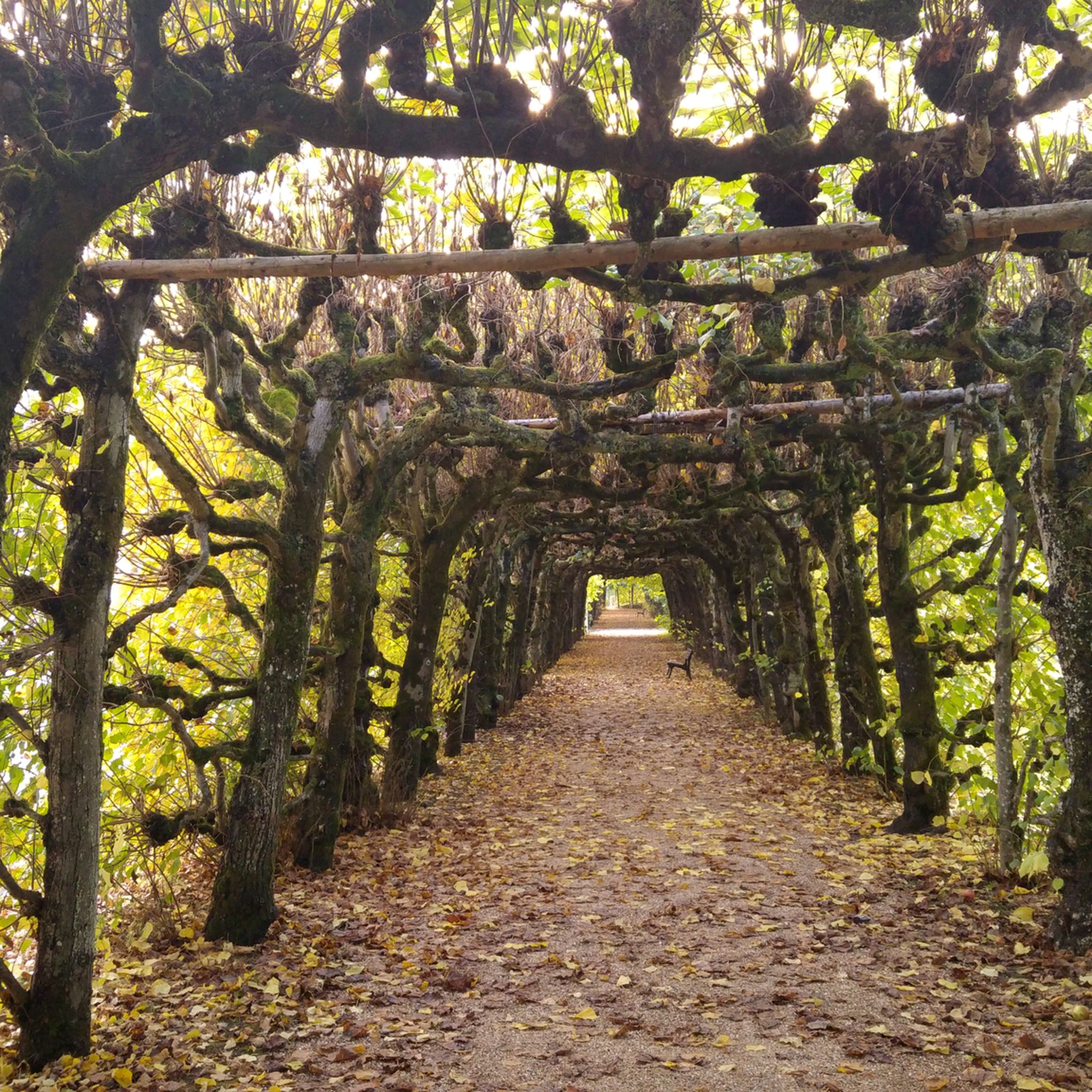
Hiking around Bad Brückenau
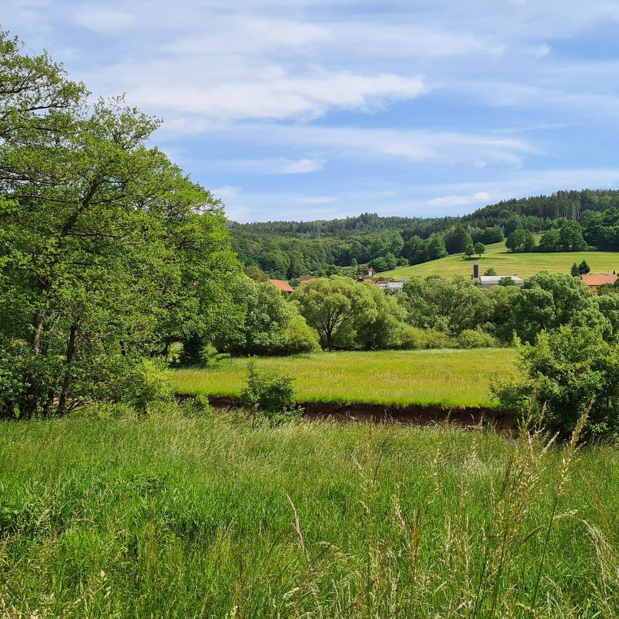
Cycling around Bad Brückenau
MTB Trails around Bad Brückenau
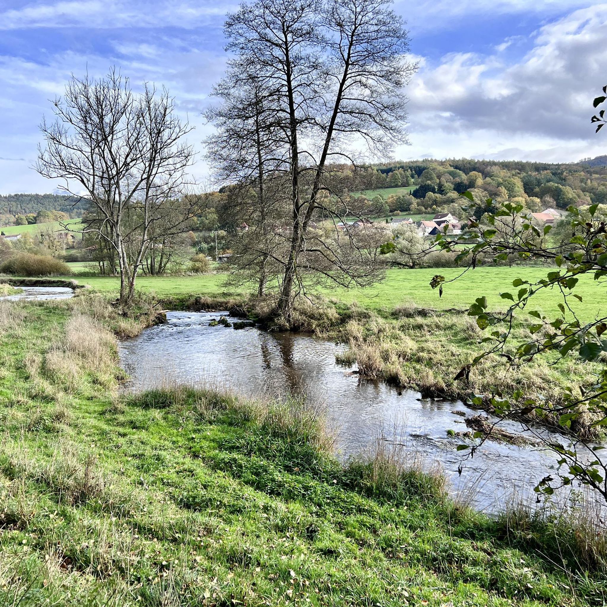
Running Trails around Bad Brückenau
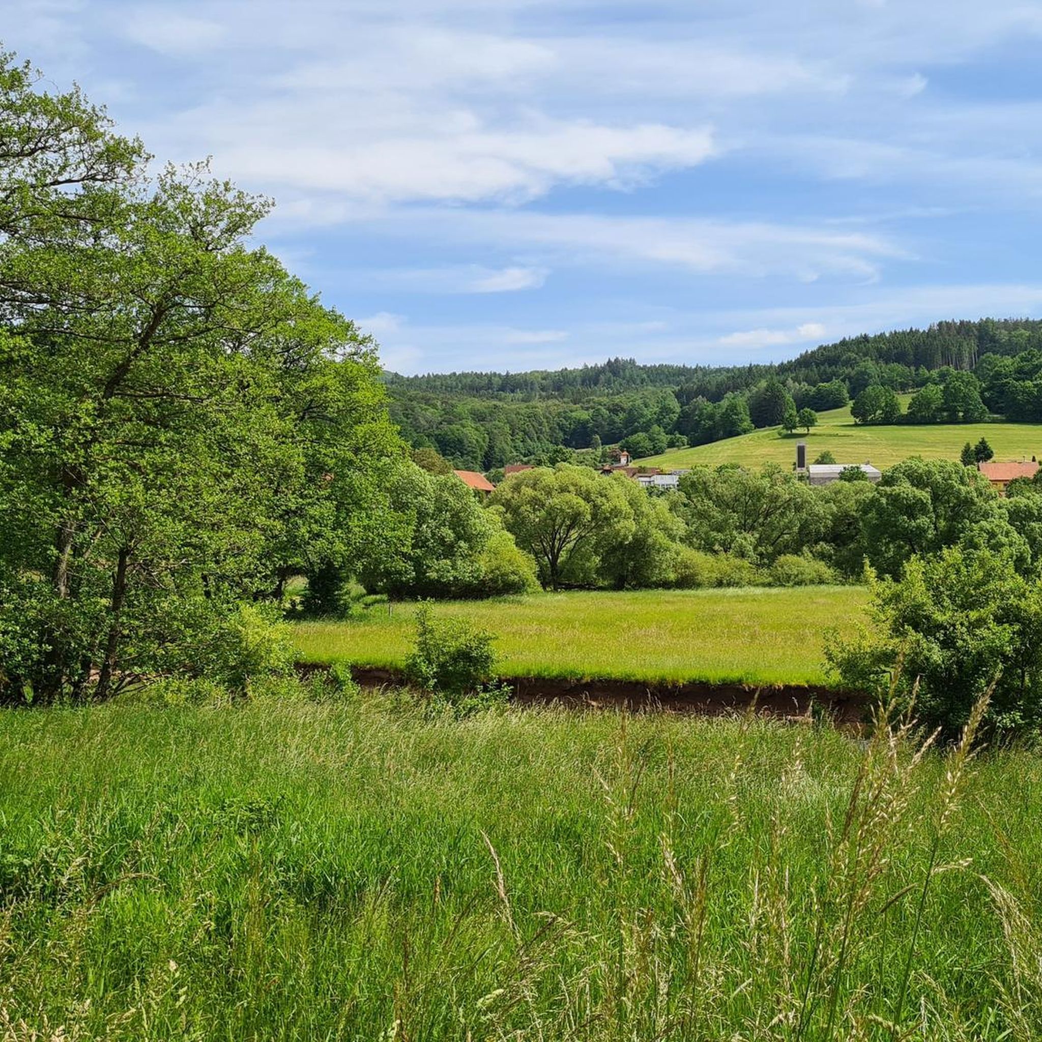
Road Cycling Routes around Bad Brückenau
Other adventures around Bad Brückenau


Tips from the Community

The Arnsberg is located northwest of the Kreuzberg in the Bavarian Rhön. It is a striking and widely visible mountain, 842 m high, which belongs to the natural region of the Hohe Rhön.
1
0

Wonderful cycle path with a perfect surface
0
0

Steep mountain with up to 20% in the forest (shady). Particularly steep in the lower and upper sections, somewhat unrhythmic
0
0


The Kursaal building, dating from 1830, is one of the most important buildings in the state spa of Brückenau.
6
0

A truly beautiful mill in the Schondra Valley. Absolutely worth a visit.
0
0

The Kinzig is a river approximately 86 kilometers long. It rises in Sterbfritz, flows southwest through the Main-Kinzig district of Hesse, and flows into the Main from the right in Hanau. The Kinzig is a second-order river in low mountain ranges. It overcomes an elevation of 301 meters and has a bed gradient of 3.5 per thousand. The Kinzig's catchment area covers 1,058 square kilometers, and the calculated mean discharge (MQ) at the mouth of the Kinzig is 10.97 cubic meters per second. The Kinzig was first documented in 796 as "iuxta fluvium Kincihen." In 815, the name was written as "Chinzicha," around 900 as "Kincicha"/"Kinzicham," in 1364 as "Kinzige," in 1584 as "Kintzig," in 1607 as "Bintz," in 1681 as "Kintz," in 1716 as "Kins," in 1769 as "Kinzing," and in 1802 as "Kinzig." In the river's headwaters, there was the now-defunct village of Kinzig, mentioned in 815 as "Chirizichheimero." The village and river were often confused by monastery scribes at that time with "Chizzicha" (now Bad Kissingen), both of which were described as being located in the Saalegau. The name presumably derives from the ancient Celtic *ku̯anti̯o- meaning "flat hill, valley." The name was therefore derived from the mountainous region from which the Kinzig flows. Source: Wikipedia
1
0

Great destination, but during the holidays when the weather is nice, it is very, very crowded on the Kreuzberg
0
0
Frequently Asked Questions
How many gravel bike trails are available around Bad Brückenau?
There are over 30 gravel bike trails around Bad Brückenau, offering diverse terrain within the Rhön Nature Park and UNESCO Rhön Biosphere Reserve. These routes cater to various skill levels, with options ranging from moderate to difficult.
What kind of terrain can I expect on gravel bike trails in Bad Brückenau?
The region features a varied landscape, including ancient volcanic basalt formations, expansive meadows, dense woodlands, and river valleys like the Sinn River. You can expect a mix of paved surfaces and unpaved paths, providing an engaging experience for gravel biking.
Are there any easy or beginner-friendly gravel bike routes in Bad Brückenau?
While many routes are rated as difficult, there are moderate options available. For example, the View of Schwarzenfels Castle – Sinn Bridge Altengronau loop from Staatsbad Brückenau is a moderate 29.3 km trail that offers a scenic ride without the most extreme elevation challenges.
What are some notable natural attractions or viewpoints along the gravel trails?
The Rhön region is rich in natural beauty. You can find panoramic views from the Platzer Kuppe Summit, or explore the unique Basalt Lake Tintenfass. The View from the summit of Kreuzberg – Gemündener Hut loop from Riedenberg offers significant elevation gain towards the Kreuzberg summit, providing rewarding vistas.
Can I find circular gravel bike routes in the Bad Brückenau area?
Yes, many gravel routes in the area are designed as loops. An example is the Boniface Oak – Rhönexpress Cycle Path loop from Seifferts bei Oberkalbach, a 69.1 km trail that leads through varied terrain and returns to its starting point.
Are there any family-friendly gravel biking options in Bad Brückenau?
For families, routes that follow former railway lines, like sections of the Rhönexpress Cycle Path, often provide smoother, firmer surfaces. While specific family-friendly routes are not explicitly highlighted as easy, the varied terrain means some sections are more suitable for a relaxed pace. Consider shorter, less challenging sections of the moderate routes.
What is the best time of year for gravel biking in Bad Brückenau?
The diverse environment of the Rhön makes it suitable for outdoor pursuits throughout the year. However, spring to autumn generally offers the most pleasant conditions for gravel biking, with milder weather and vibrant landscapes. Winter biking is possible but may require specific gear and awareness of trail conditions.
Are dogs allowed on the gravel bike trails in the Rhön Nature Park?
The Rhön Nature Park and UNESCO Biosphere Reserve is a protected area. While dogs are generally welcome, it's important to keep them on a leash, especially in sensitive areas, to protect wildlife and ensure a pleasant experience for all users. Always check local signage for specific rules.
Are there any places to stop for food or drink along the gravel routes?
Yes, the region has several huts and lodges that can serve as refreshment stops. For instance, the Kissinger Hut with view of Kreuzberg or the Würzburger Karl-Straub-Haus are popular spots for cyclists to take a break and enjoy the local hospitality.
How can I access the gravel trails using public transport in Bad Brückenau?
Bad Brückenau has public transport connections that can help you access various parts of the region. While specific connections to individual trailheads are not detailed, local buses often serve surrounding villages, which can be starting points for many routes. It's advisable to check local bus schedules for routes that align with your chosen gravel tour.
What do other gravel bikers say about the trails in Bad Brückenau?
The gravel biking routes in Bad Brückenau are highly rated by the komoot community, with an average score of 5.0 stars from over 20 reviews. Riders often praise the varied terrain, the stunning natural scenery of the Rhön, and the engaging challenge offered by many of the trails.
Most popular routes around Bad Brückenau
Most popular attractions around Bad Brückenau

Get inspired with the komoot mobile app


Explore more
Browse the best Gravel rides in other regions.
