Saint-Sauveur-Sur-Tinée
Saint-Sauveur-Sur-Tinée
The best cycling routes around Saint-Sauveur-Sur-Tinée
4.3
(51)
2,377
riders
48
rides
Touring cycling routes around Saint-Sauveur-Sur-Tinée are situated in the Alpes-Maritimes department of France, offering access to the Mercantour National Park. The terrain is characterized by the Tinée Valley with its steep cliffs, rivers, and conifer forests. The region features numerous mountain passes, including the Col de la Couillole and Col de la Lombarde, which present significant elevation gains for cyclists. Roads often cut through spectacular gorges and tunnels, providing varied cycling experiences.
Best touring cycling routes around Saint-Sauveur-Sur-Tinée
- The most…
Last updated: July 8, 2026
4.6
(5)
118
riders
89.5km
07:30
2,990m
2,990m
Hard bike ride. Very good fitness required. Mostly paved surfaces. Suitable for all skill levels.
5.0
(4)
81
riders
88.3km
07:12
2,750m
2,750m
Hard bike ride. Very good fitness required. Mostly paved surfaces. Suitable for all skill levels.

Sign up for free
4.0
(3)
91
riders
28.1km
02:33
1,070m
1,070m
Hard bike ride. Very good fitness required. Mostly paved surfaces. Suitable for all skill levels.
5.0
(2)
69
riders
Hard bike ride. Very good fitness required. Mostly paved surfaces. Suitable for all skill levels.
70
riders
34.1km
02:58
1,240m
1,240m
Hard bike ride. Very good fitness required. Mostly paved surfaces. Suitable for all skill levels.
Get access to more routes and recommendations from other explorers.
Sign up for free
Already have an account?
Our route recommendations are based on thousands of hikes, rides, and runs completed by other people on komoot.
Start today with a free account
Your next adventure awaits.
Login or Signup
Popular around Saint-Sauveur-Sur-Tinée

Cycling from the Italian Riviera to the French Alps – Alpine Arc (part 1)

Europe Trail (GR 5) – Hike from Nice to Saint-Étienne-de-Tinée
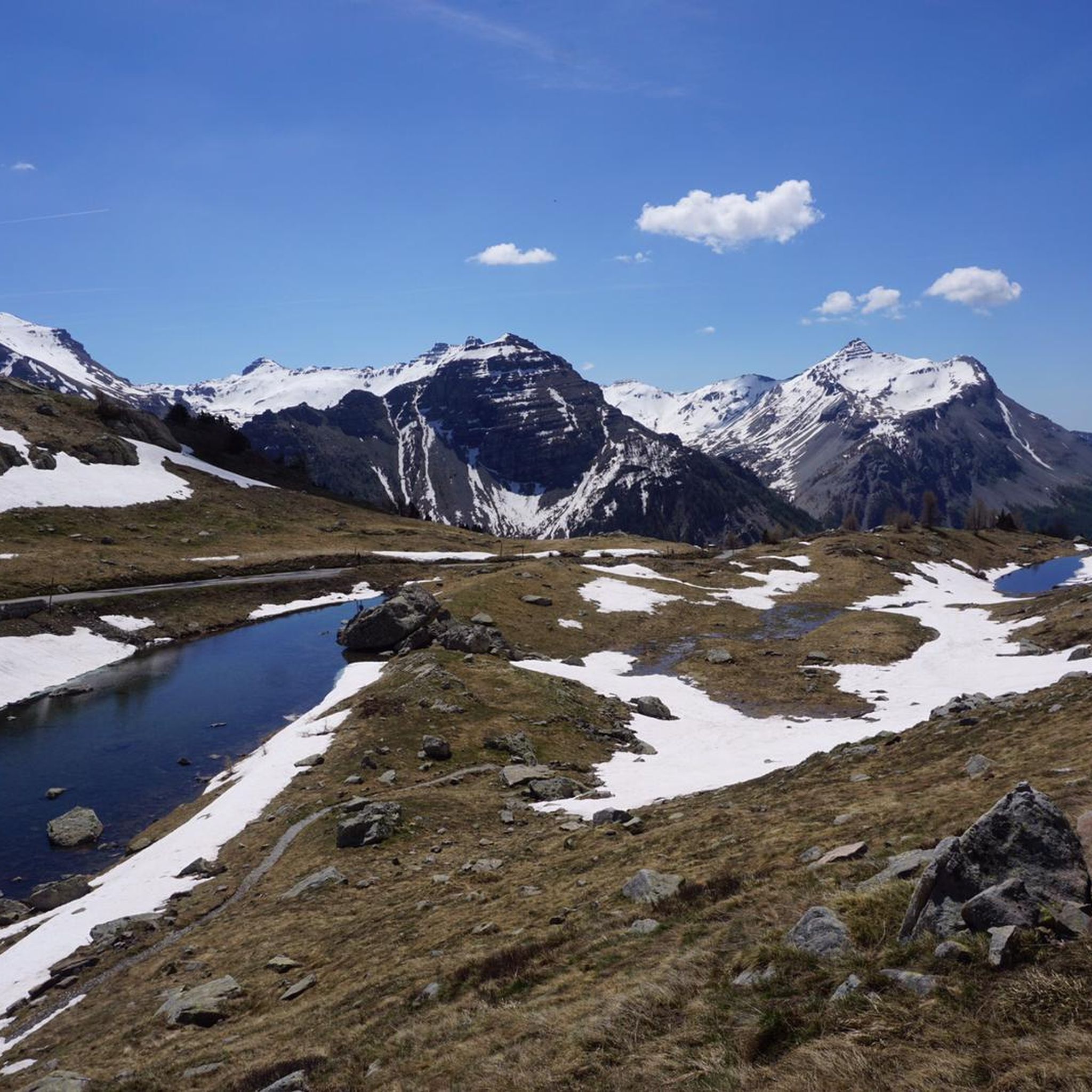
Road Cycling Routes around Saint-Sauveur-Sur-Tinée
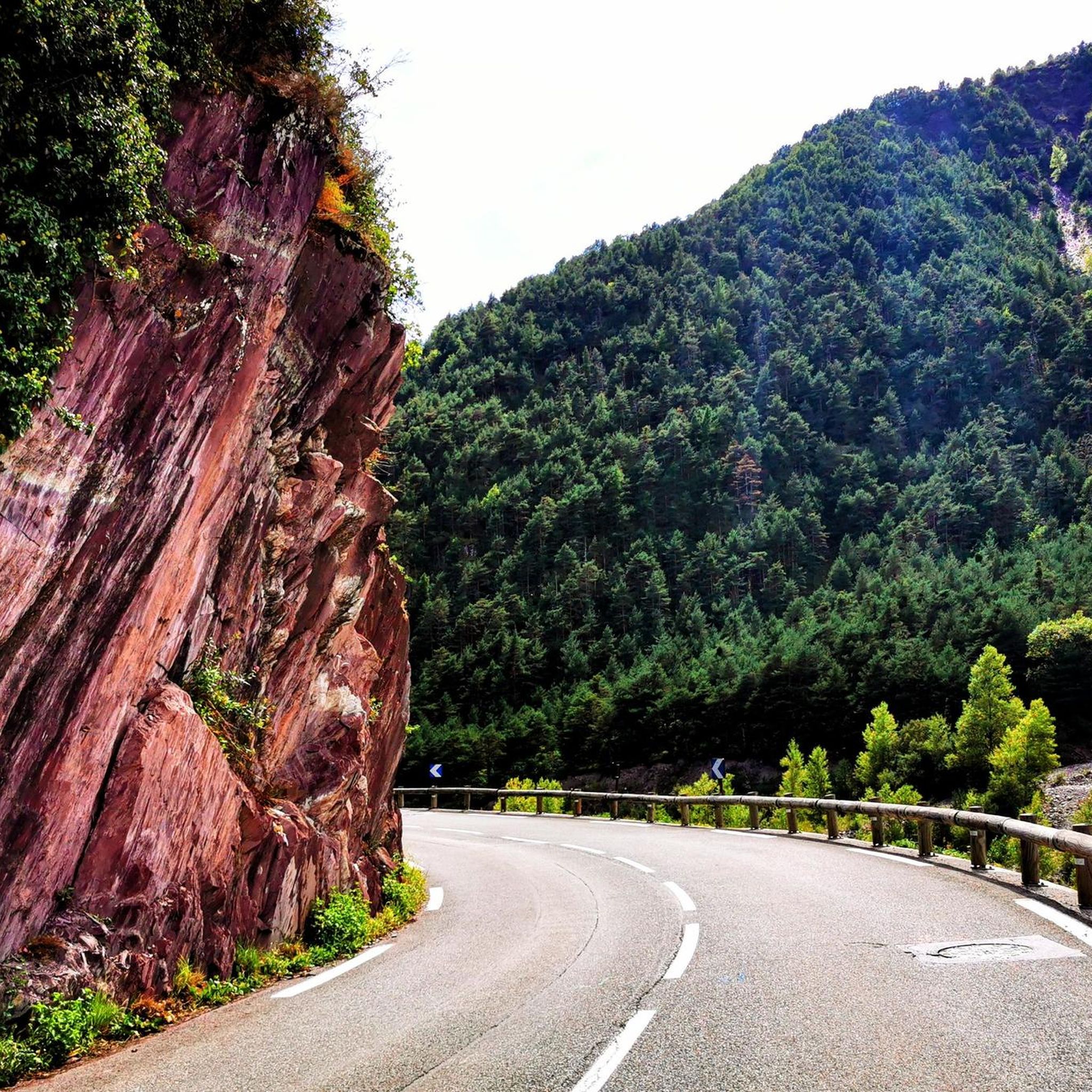
Hiking around Saint-Sauveur-Sur-Tinée
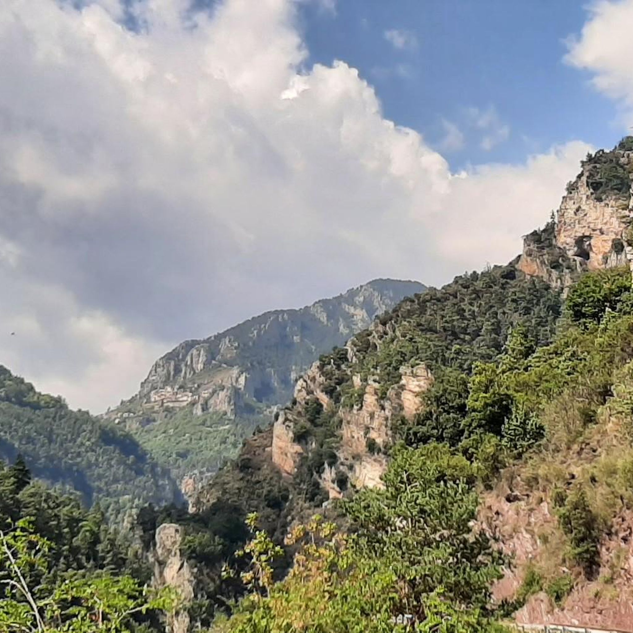
Running Trails around Saint-Sauveur-Sur-Tinée
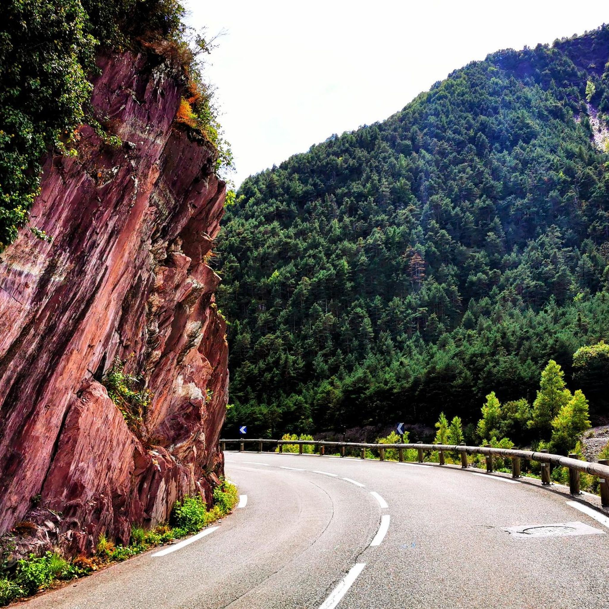
MTB Trails around Saint-Sauveur-Sur-Tinée

Gravel biking around Saint-Sauveur-Sur-Tinée

Mountain Hikes around Saint-Sauveur-Sur-Tinée


Tips from the Community

The Col de la Couillole is a mountain pass in the Massif du Mercantour-Argentera of the French Alps, situated at an altitude of 1,678 m (5,505 ft) in the Alpes-Maritimes department, France. The road connection is open for six to seven months of the year, allowing travel between the Cians gorges in the west and the Tinée valley in the east.
0
0
The Col Saint-Martin Pass, or Col de la Colmiane, is a mountain pass in the Southern Alps located at an altitude of 1,500 meters in the Alpes-Maritimes department of France. It provides a year-round road link between the Tinée Valley to the west and the Vésubie Valley to the east.
0
0
The Col Saint-Martin Pass, or Col de la Colmiane, is a mountain pass in the Southern Alps located at an altitude of 1,500 meters in the Alpes-Maritimes department of France. It provides a year-round road link between the Tinée Valley to the west and the Vésubie Valley to the east.
0
0

In July during the week there was almost no traffic, making it a completely relaxed drive up.
0
0
Currently (as of July 2025), there's a lot of excavation and construction going on here. For cycling emergencies, there's a local sports shop that carries all kinds of cycling supplies and was able to quickly help us with our bike repairs: https://sport-addict06.fr/
2
0
Great bike path, nice and wide and two-lane.
0
0

This is the part of the climb where in the height of summer it can get really hot by mid-morning. A little breeze here and there gives you some breathing space but if you don't start early be prepared.
0
0

The balcony road in the first third of the climb to the Col de la Couillole is spectacular.
0
0
Frequently Asked Questions
What kind of terrain can I expect on touring cycling routes around Saint-Sauveur-Sur-Tinée?
The terrain is predominantly mountainous, characterized by the deep Tinée Valley with its steep cliffs, rivers, and conifer forests. You'll encounter numerous challenging mountain passes, including the famous Col de la Couillole and Col de la Lombarde, which involve significant elevation gains. Many roads cut through spectacular gorges and tunnels, offering varied and scenic cycling experiences.
How many touring cycling routes are available in the Saint-Sauveur-Sur-Tinée area?
There are over 40 touring cycling routes around Saint-Sauveur-Sur-Tinée documented on komoot. These routes cater primarily to experienced cyclists seeking challenging ascents and descents through the stunning Alpes-Maritimes landscape.
Are there any easy touring cycling routes for beginners or families?
The touring cycling routes around Saint-Sauveur-Sur-Tinée are generally considered challenging, with 38 out of 44 routes rated as difficult and 6 as moderate. There are no routes specifically categorized as easy for touring cyclists, indicating the region is best suited for those comfortable with significant climbs and distances.
What are some notable natural features or landmarks I can see while cycling?
While cycling, you'll be immersed in the Mercantour National Park, known for its dramatic peaks and vibrant meadows. Routes often pass through spectacular gorges and tunnels. You can also explore nearby peaks like Col Tesina or Mont Pépoiri, and discover charming perched villages such as Roubion and Roure.
What do other touring cyclists say about the routes in Saint-Sauveur-Sur-Tinée?
The touring cycling routes in Saint-Sauveur-Sur-Tinée are highly rated by the komoot community, with an average score of 4.6 stars from over 40 reviews. Cyclists frequently praise the challenging mountain passes, the breathtaking scenery of the Tinée Valley, and the rewarding climbs that offer extensive views.
Which touring cycling routes feature the famous Col de la Couillole?
Several routes incorporate the challenging Col de la Couillole. One option is the Péone Rock Formations – Col de la Couillole loop from Saint-Sauveur-sur-Tinée, which is 88.1 km long with over 2,700 meters of elevation gain. Another is the Col de la Couillole – Col de Sainte-Anne loop from Saint-Sauveur-sur-Tinée, covering 61.5 km with 1,840 meters of ascent.
Are there any circular touring cycling routes starting from Saint-Sauveur-Sur-Tinée?
Yes, there are several circular routes. For instance, the Saint-Martin Pass (La Colmiane) – Saint Dalmas loop from Saint-Sauveur-sur-Tinée is a 52 km loop featuring significant climbs. Another option is the Col de la Couillole – Col de la Couillole (1,678 m) loop from Marie, which is a 44.9 km challenging circuit.
What is the best time of year for touring cycling in Saint-Sauveur-Sur-Tinée?
The best time for touring cycling in Saint-Sauveur-Sur-Tinée is typically from late spring to early autumn. During this period, the mountain passes are generally clear of snow, and the weather is more favorable for long rides. Spring offers vibrant meadows, while autumn provides cooler temperatures and stunning foliage. Always check local weather and road conditions before heading out, especially for high-altitude passes.
Are there any places to stop for refreshments or accommodation along the routes?
While the routes are challenging and often remote, the region has charming villages like Saint-Sauveur-Sur-Tinée itself, Roubion, and Roure, where you might find local cafes, restaurants, and accommodation. Additionally, there are mountain huts such as Valasco Hut or Malinvern Hut that can provide respite on longer tours, particularly within the Mercantour National Park.
What kind of wildlife might I encounter in the Mercantour National Park while cycling?
The Mercantour National Park is rich in biodiversity. While cycling, you might spot various animals such as marmots, chamois, ibex, and eagles. The Tinée Valley's conifer forests also shelter roe deer and stags. Maintaining a respectful distance and observing from afar is encouraged to protect these species.
What is the longest touring cycling route available in the area?
One of the longest and most challenging touring cycling routes is the View at Cole de Saint Martin – Saint-Martin Pass (La Colmiane) loop from Pont de Paule. This difficult path spans 96.7 km and features over 2,000 meters of elevation gain, offering extensive views through the mountainous landscape.
Is Saint-Sauveur-Sur-Tinée a good base for exploring other parts of the Alpes-Maritimes by bike?
Yes, Saint-Sauveur-Sur-Tinée serves as an excellent base for exploring the wider Alpes-Maritimes region. Its strategic location provides access to the Mercantour National Park and numerous other iconic mountain passes beyond the immediate vicinity, such as Col Saint Martin and Col de Turini, making it ideal for multi-day cycling adventures.
Most popular routes around Saint-Sauveur-Sur-Tinée
Most popular attractions around Saint-Sauveur-Sur-Tinée

Get inspired with the komoot mobile app


Explore more
Browse the best Cycling routes in other regions.
