Saint-Sauveur-Sur-Tinée
Saint-Sauveur-Sur-Tinée
The best MTB trails around Saint-Sauveur-Sur-Tinée
4.2
(101)
824
riders
43
rides
Mountain biking around Saint-Sauveur-Sur-Tinée offers diverse landscapes within the Tinée Valley and near Mercantour National Park. The region features significant elevation changes, with routes traversing mountain passes, dense forests, and gorges. Terrain varies from wide green basins to narrower, rocky sections, providing a challenging environment for mountain bikers.
Best mountain bike trails around Saint-Sauveur-Sur-Tinée
- The most popular mountain bike trail is Col de la Lombarde – statue of Mary loop from Col de la Lombarde / Colle della Lombarda,…
Last updated: July 8, 2026
3.5
(2)
28
riders
27.2km
02:43
1,050m
1,050m
Hard mountain bike ride. Very good fitness required. Advanced riding skills necessary. Some portions of the route may require you to push your bike.
5.0
(1)
17
riders
28.7km
04:07
1,430m
1,420m
Hard mountain bike ride. Very good fitness required. Advanced riding skills necessary. Some portions of the route may require you to push your bike.

Sign up for free
9
riders
30.3km
04:16
1,570m
1,570m
Hard mountain bike ride. Very good fitness required. Advanced riding skills necessary. Some portions of the route may require you to push your bike.
5.0
(4)
12
riders
Hard mountain bike ride. Good fitness required. Advanced riding skills necessary. Some portions of the route may require you to push your bike.
11
riders
Moderate mountain bike ride. Good fitness required. Suitable for all skill levels.
Get access to more routes and recommendations from other explorers.
Sign up for free
Already have an account?
Our route recommendations are based on thousands of hikes, rides, and runs completed by other people on komoot.
Start today with a free account
Your next adventure awaits.
Login or Signup
Popular around Saint-Sauveur-Sur-Tinée

Europe Trail (GR 5) – Hike from Nice to Saint-Étienne-de-Tinée

Cycling from the Italian Riviera to the French Alps – Alpine Arc (part 1)
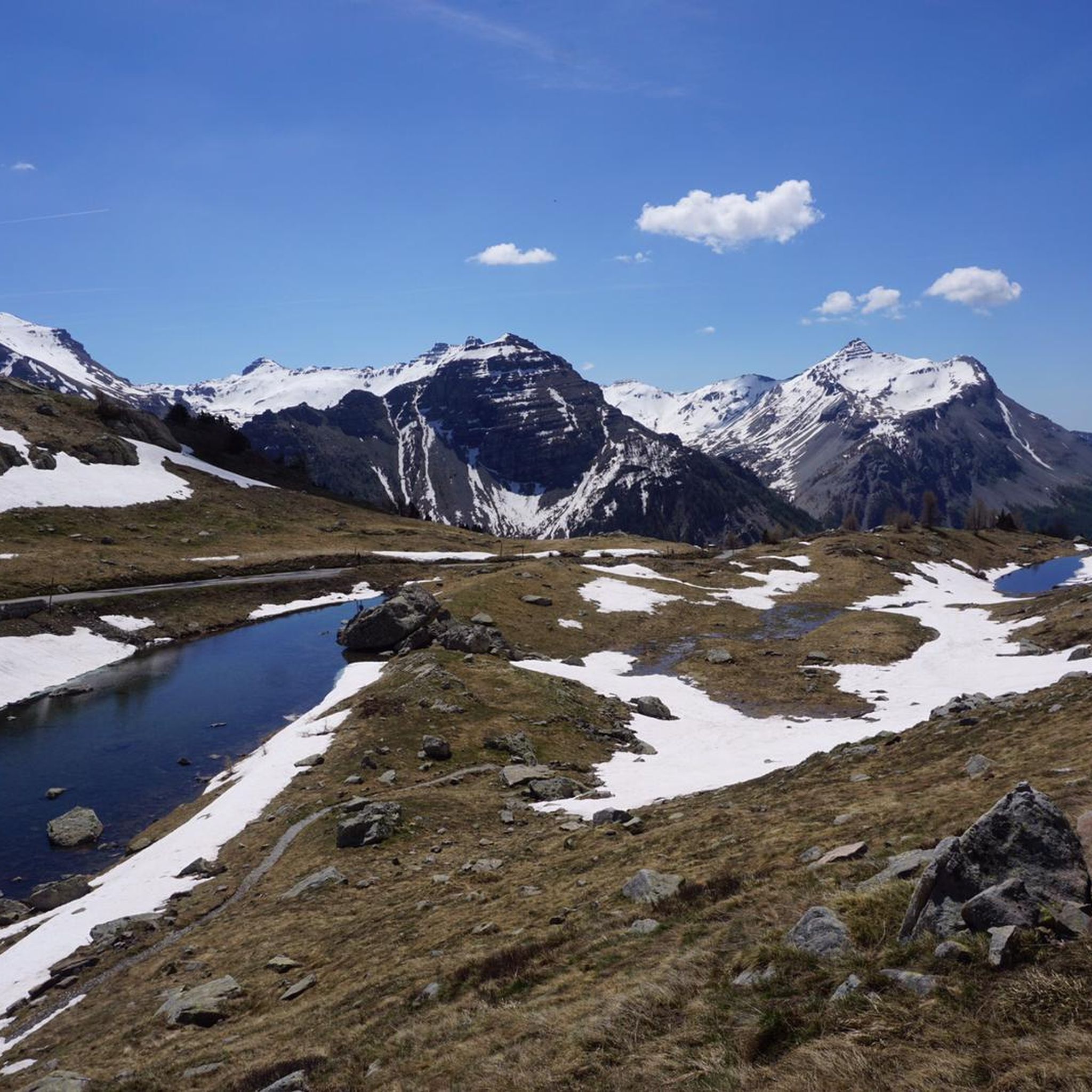
Road Cycling Routes around Saint-Sauveur-Sur-Tinée
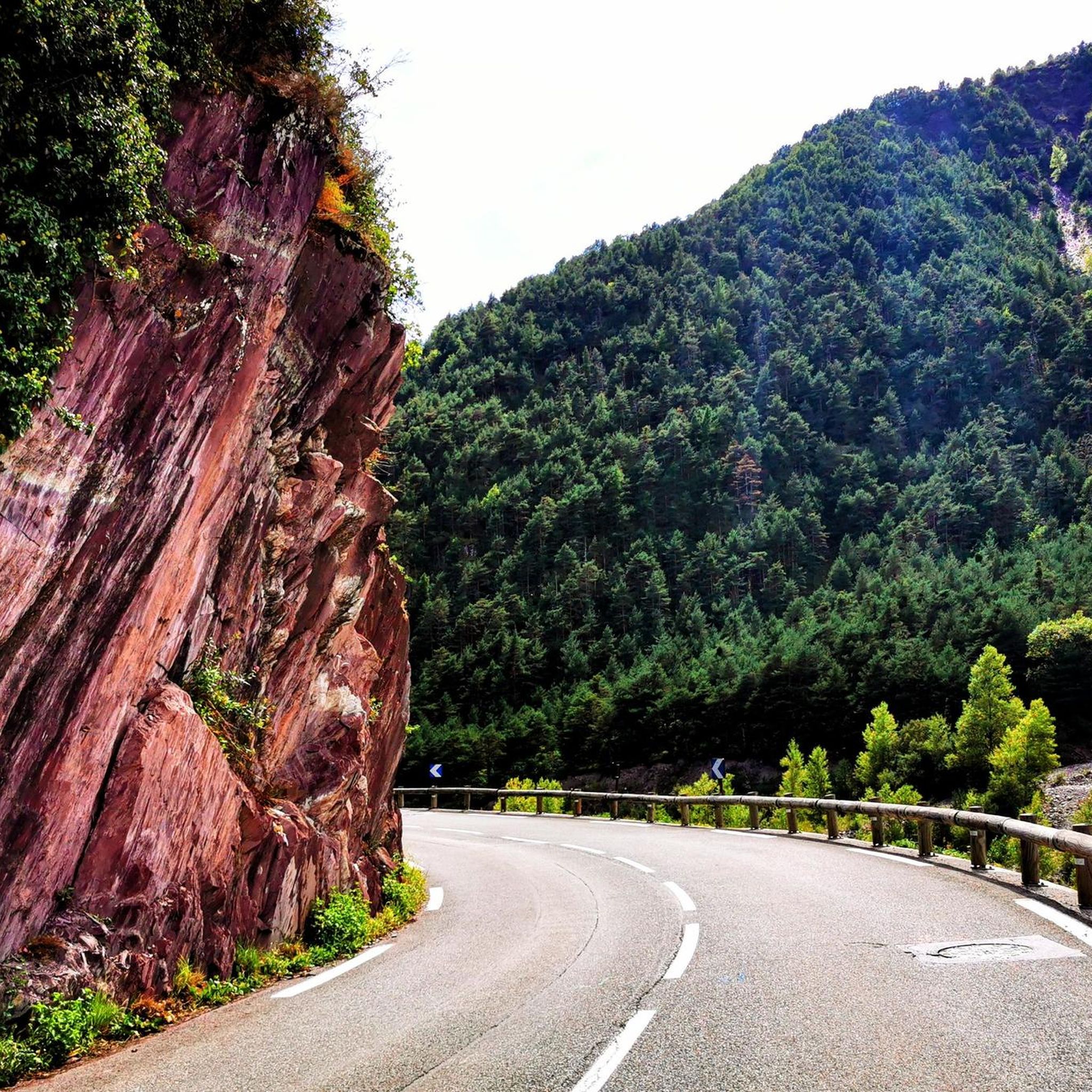
Hiking around Saint-Sauveur-Sur-Tinée
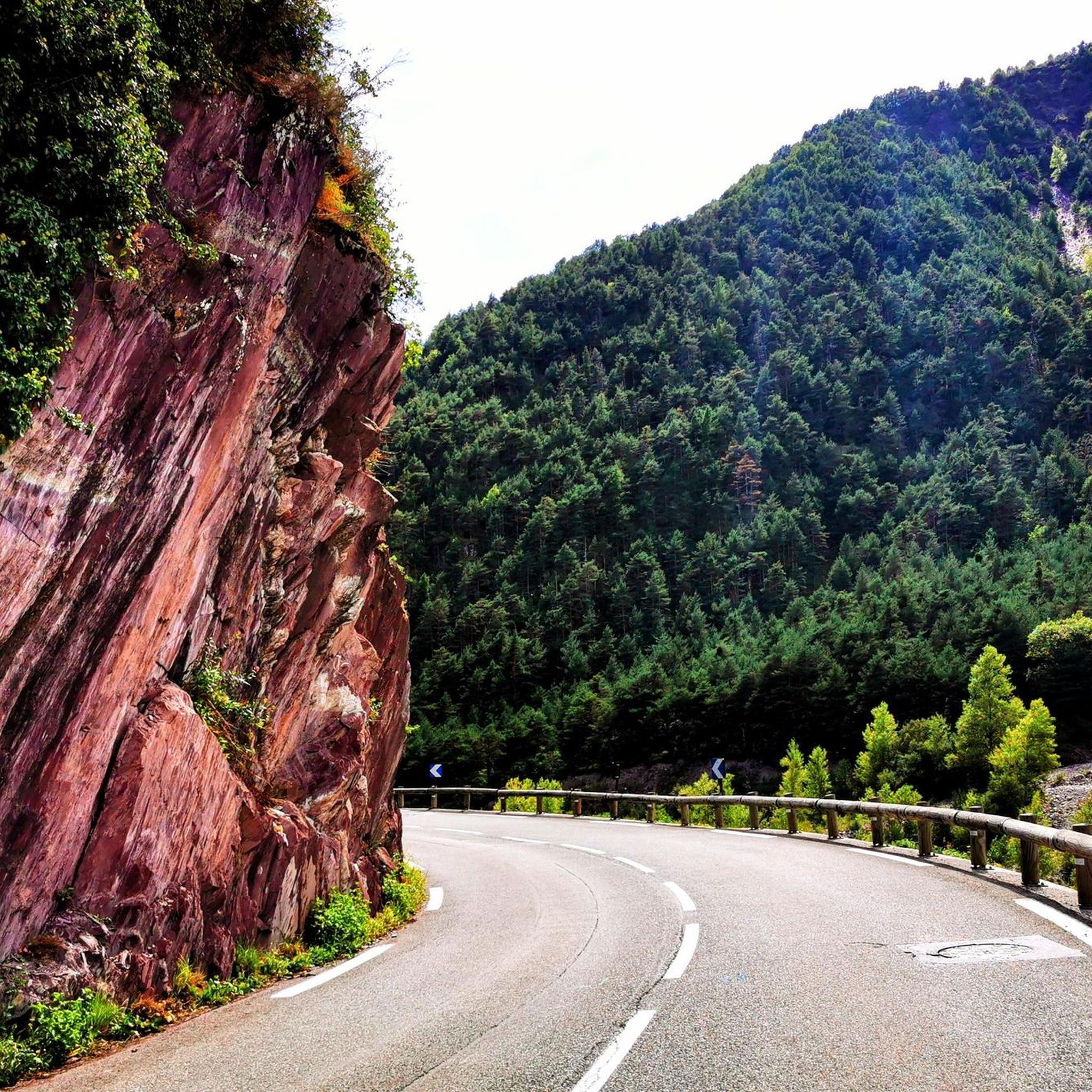
Cycling around Saint-Sauveur-Sur-Tinée
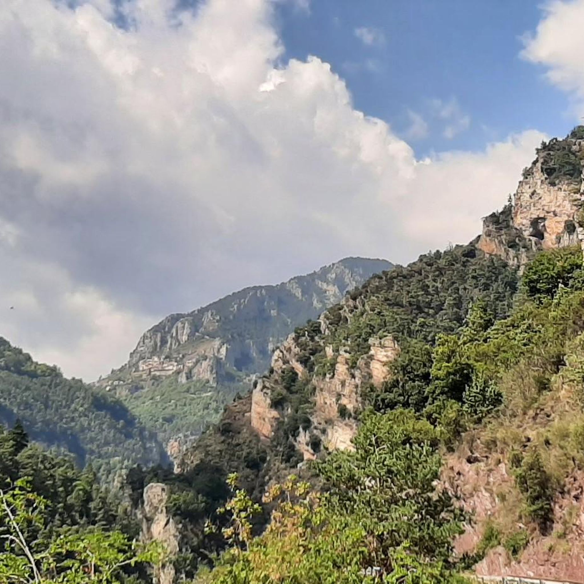
Running Trails around Saint-Sauveur-Sur-Tinée

Gravel biking around Saint-Sauveur-Sur-Tinée

Mountain Hikes around Saint-Sauveur-Sur-Tinée


Tips from the Community

https://youtu.be/hC4eceIyyMw?si=515BXh8fRIHsMTkt At the top, there's a wooden stall with snacks and drinks; that's it, a road pass.
0
0

For a spectacular ascent and a thrilling descent, I would always recommend the route from Italy to France, if you can choose and plan it yourself. A beautiful valley with stunning views on narrow roads in Italy is a great place to enjoy at a slow pace. Wide, well-maintained roads in France make for a relatively safe descent.
1
0

This picnic area is a few steps from the forest cabin and the Collet du Puei. It’s a great place to stop in the middle of a hike.
1
0

COLLET du PUEI: Pleasant shaded place with tables for a quiet lunch. See interesting information in the forest hut.
1
0

A very quiet ski resort located in a very beautiful valley. The best thing is the surroundings.
0
0
Since the Tour arrived at the Isola 2000 ski resort in 1993, I really wanted to climb up to the Col de la Lombarde from the French side. I managed to do it in 2016 with a couple of colleagues and friends from work. I had previously managed to reach the Col de la Lombarda from its Italian side. Between the two, I prefer the Italian side, much harder and more spectacular, with better views and a very beautiful and legendary road. Here is the link with the details of the altimetry published by @cyclingcols --> http://www.cyclingcols.com/col/Lombarde_Lombarda
2
2

Shortly before the monastery of S. Anna in a switchback, a high statue of Mary. Beautiful view including fountain and space for a break.
1
0

A steep climb with little traffic.
5
0
Frequently Asked Questions
What is the overall difficulty level of mountain biking trails around Saint-Sauveur-Sur-Tinée?
The mountain biking trails in the Saint-Sauveur-Sur-Tinée area are generally challenging, with many routes requiring good to very good fitness and advanced riding skills. Out of 38 available tours, 26 are rated as difficult, 11 as moderate, and only 1 as easy. Expect significant elevation changes and varied terrain, characteristic of the high mountain environment in the Tinée Valley and Mercantour National Park.
Are there any family-friendly mountain bike trails in Saint-Sauveur-Sur-Tinée?
While many trails in the Saint-Sauveur-Sur-Tinée area are geared towards experienced riders, there is at least one easy route available. For families or those seeking a less strenuous ride, it's advisable to look for trails specifically marked as easy or moderate, and to check the elevation gain and distance carefully. The region's diverse landscape means some areas might offer gentler sections, but overall, the terrain is quite demanding.
What kind of landscapes and natural features can I expect to see while mountain biking here?
You'll experience a rich variety of landscapes, from wide green basins and forested canyons to narrower, rocky sections and gorges. The area is within or close to Mercantour National Park, offering high mountain scenery, peaks, and diverse wildlife. You'll also encounter numerous mountain passes like the Col de la Lombarde, serene lakes, and dense conifer forests. Keep an eye out for striking red schiste rock formations, especially along the Mescla Gorges.
Are there any circular mountain bike routes available?
Yes, many of the popular mountain bike trails around Saint-Sauveur-Sur-Tinée are circular routes. For example, you can explore the challenging Col de la Lombarde – statue of Mary loop from Col de la Lombarde / Colle della Lombarda, which covers 27.5 km with significant climbs. Another option is the Isola 2000 Ski Resort – Col de la Lombarde loop from Col de la Lombarde / Colle della Lombarda, a moderate 11.7 km route.
What are some interesting points of interest or attractions along the mountain bike trails?
The region offers several natural and historical attractions. You can discover stunning gorges like the Gorges du Cians or the Riofreddo Valley. There are also beautiful lakes such as Lago delle Portette and Lower Valscura Lake. Additionally, you might pass by historical sites like the Raton Casemate – Fortification of the Gorges du Cians, offering a glimpse into the area's past.
What is the best time of year for mountain biking in Saint-Sauveur-Sur-Tinée?
The best time for mountain biking in Saint-Sauveur-Sur-Tinée is typically during the warmer months, from late spring to early autumn. This period offers more favorable weather conditions, with less snow at higher elevations and more stable trail conditions. Summer is particularly popular, allowing access to high mountain passes and trails. However, always check local weather forecasts and trail conditions before heading out, as mountain weather can change rapidly.
Are there any amenities like cafes or accommodation near the mountain bike trails?
Saint-Sauveur-Sur-Tinée itself is a quiet mountain town with some basic amenities. You'll find charming villages like Roure, Roubion, and Ilonse clinging to mountainsides nearby, which may offer small cafes or guesthouses. For more options, especially around popular starting points like Col de la Lombarde or Isola 2000, you might find facilities catering to outdoor enthusiasts. It's always a good idea to plan your route and check for available services in advance, especially in more remote areas.
What do other mountain bikers enjoy most about mountain biking in Saint-Sauveur-Sur-Tinée?
The area is highly rated by the komoot community, with an average score of 4.2 stars from over 90 reviews. Reviewers often praise the diverse and challenging terrain, the stunning high mountain landscapes, and the sense of adventure offered by the significant elevation changes. The unique natural features, such as the gorges and mountain passes, are also frequently highlighted as memorable aspects of the rides.
Is public transport available to access mountain biking trails in the region?
While Saint-Sauveur-Sur-Tinée is accessible, public transport options directly to specific trailheads, especially those in higher mountain areas like Col de la Lombarde, might be limited. It's advisable to research local bus services or consider driving to key starting points. The region is well-suited for those with their own transport, allowing greater flexibility to explore the various trails and villages.
Where can I find parking for mountain biking trails in Saint-Sauveur-Sur-Tinée?
Parking is generally available in Saint-Sauveur-Sur-Tinée itself and at common starting points for popular routes. For trails originating from high mountain passes like Col de la Lombarde, there are often designated parking areas. When planning your ride, check the specific trailhead information on komoot or local tourist resources for details on parking availability and any potential fees.
Can I bring my dog on the mountain bike trails?
The Saint-Sauveur-Sur-Tinée area is close to Mercantour National Park, which has specific regulations regarding dogs to protect wildlife. While some trails outside the strictest protected zones might allow dogs, they are generally required to be on a leash. It's crucial to check the specific rules for each trail or area you plan to visit, especially within the National Park boundaries, to ensure compliance and safety for your pet and local wildlife.
How long do mountain bike trails typically take to complete in this area?
Trail durations vary significantly based on difficulty, distance, and your fitness level. For example, a difficult route like the Col de la Lombarde loop from Col de la Lombarde / Colle della Lombarda, spanning 39.4 km with substantial elevation gain, can take around 4 hours. Shorter, challenging trails like the Chemin des Italiens loop from Col de la Lombarde / Colle della Lombarda (17.2 km) might take about 2 hours 11 minutes. Always check the estimated duration for your chosen route.
Most popular routes around Saint-Sauveur-Sur-Tinée
Most popular attractions around Saint-Sauveur-Sur-Tinée

Get inspired with the komoot mobile app


Explore more
Browse the best MTB trails in other regions.
