Saint-Sauveur-Sur-Tinée
Saint-Sauveur-Sur-Tinée
The best walks and hikes around Saint-Sauveur-Sur-Tinée
4.7
(1197)
8,777
hikers
226
hikes
Hiking trails around Saint-Sauveur-Sur-Tinée are situated within the Mercantour National Park, offering a diverse range of landscapes. The region features a transition from lush green valleys and conifer forests to steeper, rocky terrain with gorges. Alpine peaks reaching close to 3,000 meters are present, alongside the Tinée river carving through the valley. This varied topography provides a wide array of hiking experiences.
Best hiking trails around Saint-Sauveur-Sur-Tinée
- The most popular hiking route is Valscura and Terre Rouge Lakes Loop,…
Last updated: July 8, 2026
4.3
(4)
53
hikers
17.3km
07:27
1,060m
1,060m
This difficult 10.7-mile loop hike in Parco Naturale delle Alpi Marittime features alpine lakes, military mule tracks, and mountain refuges.
4.7
(3)
24
hikers
13.7km
04:35
670m
670m
Moderate hike. Good fitness required. Easily-accessible paths. Suitable for all skill levels.

Sign up for free
4.7
(12)
70
hikers
6.51km
02:39
370m
370m
Moderate hike. Good fitness required. Mostly accessible paths. Sure-footedness required.
4.8
(4)
42
hikers
Hard hike. Very good fitness required. Sure-footedness, sturdy shoes and alpine experience required.
5.0
(7)
37
hikers
16.9km
05:48
860m
860m
Hard hike. Very good fitness required. Mostly accessible paths. Sure-footedness required.
Get access to more routes and recommendations from other explorers.
Sign up for free
Already have an account?
Our route recommendations are based on thousands of hikes, rides, and runs completed by other people on komoot.
Start today with a free account
Your next adventure awaits.
Login or Signup
Popular around Saint-Sauveur-Sur-Tinée

Europe Trail (GR 5) – Hike from Nice to Saint-Étienne-de-Tinée

Cycling from the Italian Riviera to the French Alps – Alpine Arc (part 1)
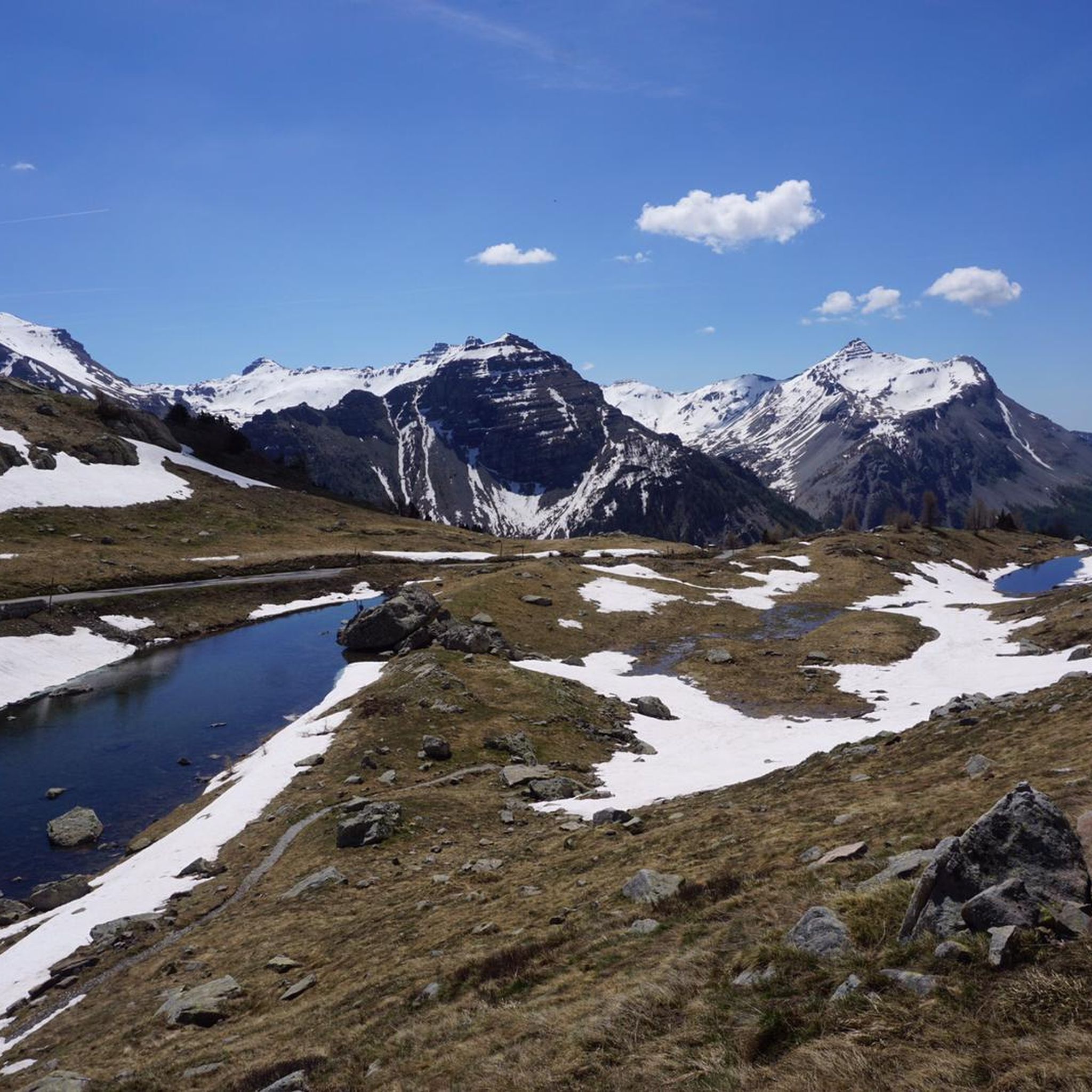
Road Cycling Routes around Saint-Sauveur-Sur-Tinée
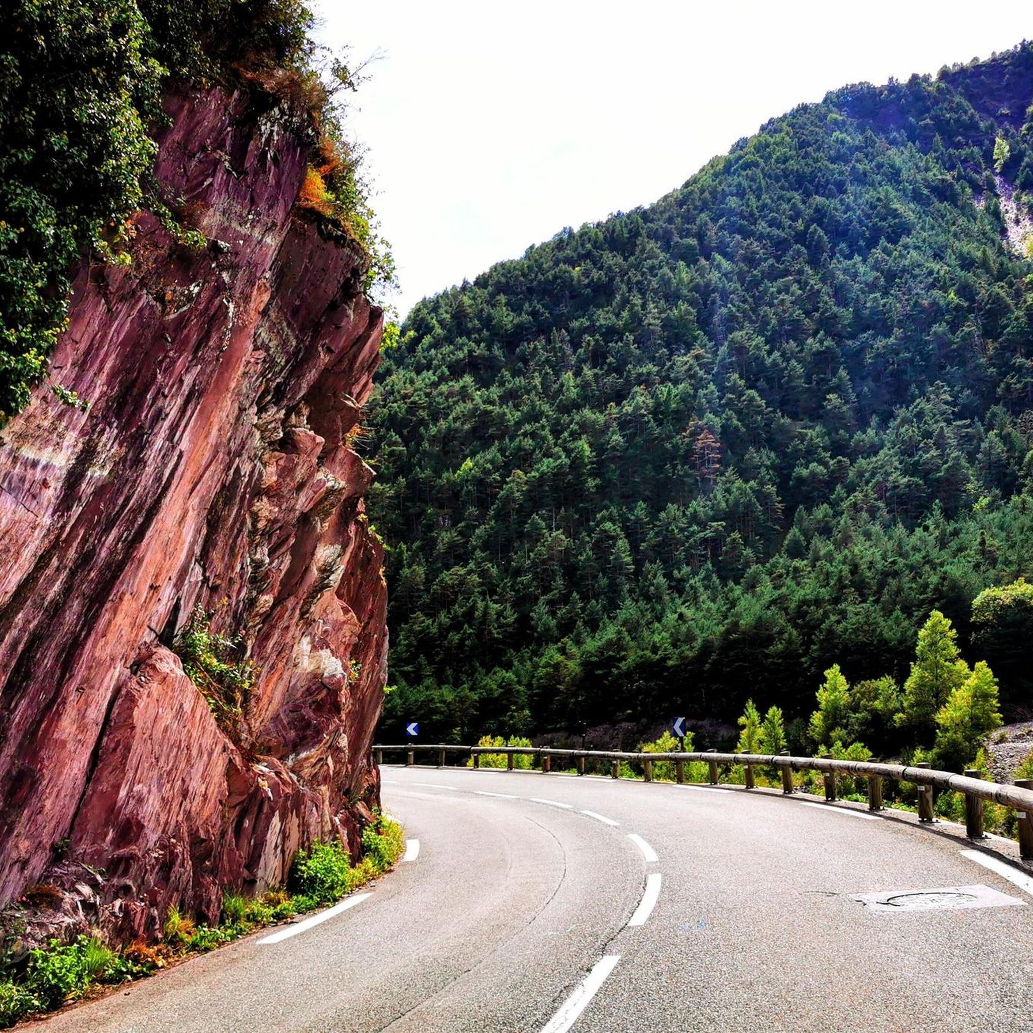
Cycling around Saint-Sauveur-Sur-Tinée
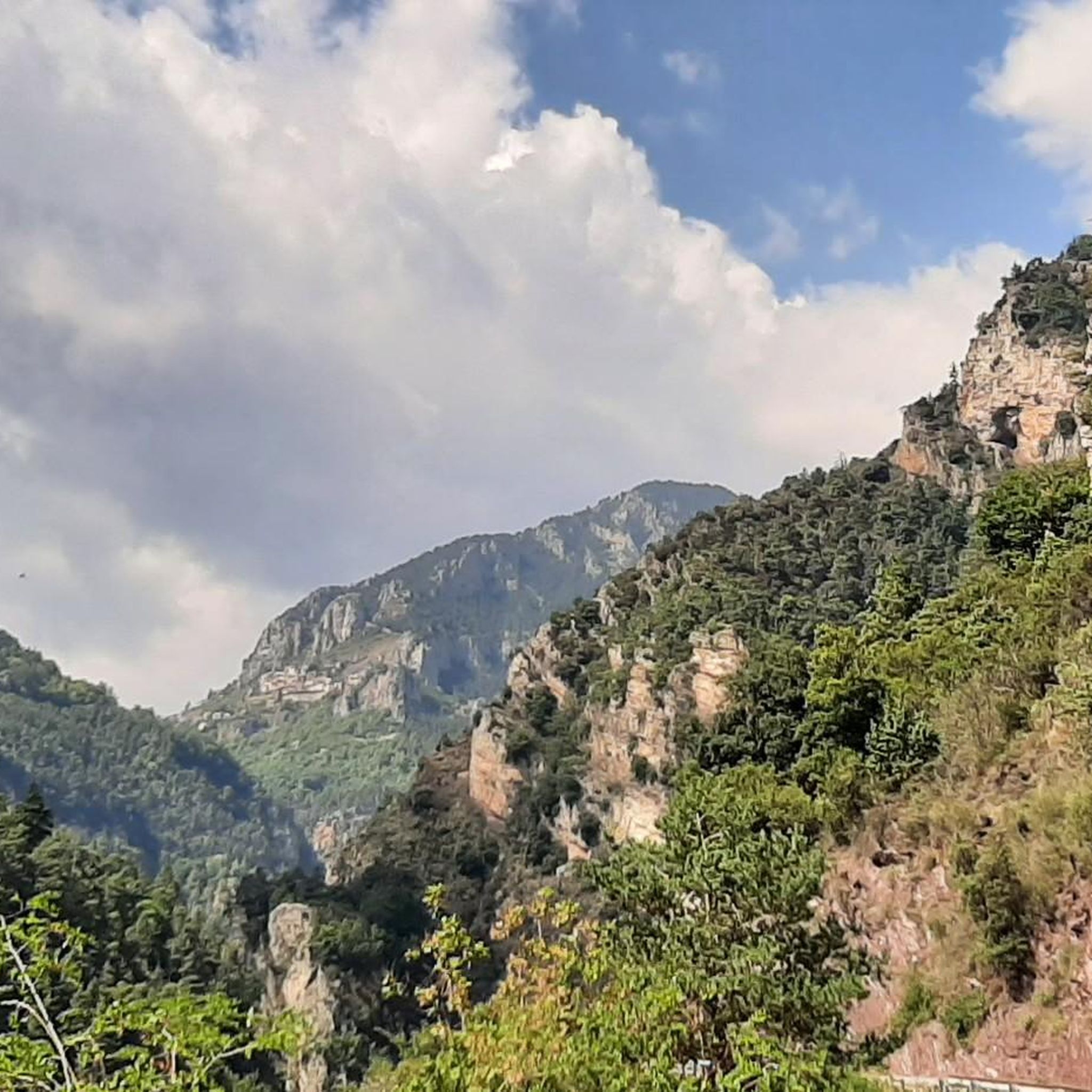
Running Trails around Saint-Sauveur-Sur-Tinée
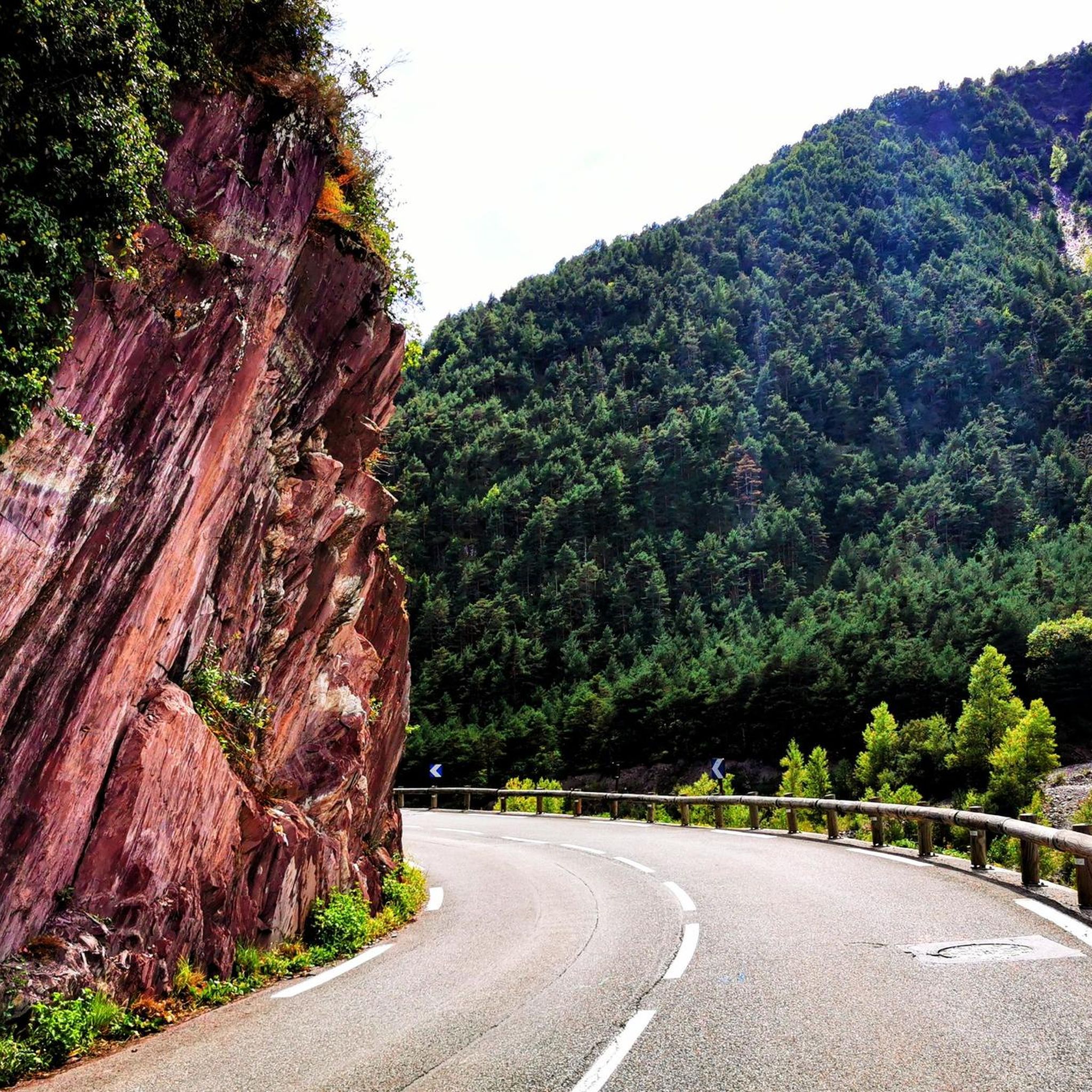
MTB Trails around Saint-Sauveur-Sur-Tinée

Gravel biking around Saint-Sauveur-Sur-Tinée

Mountain Hikes around Saint-Sauveur-Sur-Tinée


Tips from the Community

simple route with a wonderful view of the Pian del Valasco
0
0

https://youtu.be/hC4eceIyyMw?si=515BXh8fRIHsMTkt Nice, but the question is whether it's worth walking all the way up for this.
0
0
https://youtu.be/hC4eceIyyMw?si=515BXh8fRIHsMTkt At the top, there's a wooden stall with snacks and drinks; that's it, a road pass.
0
0

The Emilio Questa Refuge, at 2,388 m, is located in the Maritime Alps Natural Park (CN). Open in summer, it offers beds and a winter room. It can be reached from Valdieri. Restaurant with typical cuisine and facing beautiful Alpine views. Info: www.rifugioquesta.it.
2
0

Beautiful mule track created by the military 👍
0
0
This is also half of margari, be careful you have dogs 🐕
1
0
Frequently Asked Questions
How many hiking trails are available around Saint-Sauveur-sur-Tinée?
The Saint-Sauveur-sur-Tinée region offers a vast network of over 220 hiking trails. This includes approximately 40 easy routes, over 100 moderate paths, and around 80 challenging trails, catering to a wide range of experience levels.
What kind of terrain can I expect on hikes in the Saint-Sauveur-sur-Tinée region?
The terrain around Saint-Sauveur-sur-Tinée is remarkably diverse, transitioning from lush green valleys and conifer forests in the north to steeper, drier, and more rocky landscapes with gorges in the south. You'll find everything from gentle walks along the Tinée river to challenging ascents in high mountain areas, with peaks reaching close to 3,000 meters within the Mercantour National Park.
Are there any family-friendly hiking options in Saint-Sauveur-sur-Tinée?
Yes, there are approximately 40 easy hiking routes around Saint-Sauveur-sur-Tinée that are suitable for families. These trails often feature less elevation gain and shorter distances, allowing for a pleasant experience for all ages. Look for routes that explore the lower valleys or charming perched villages.
Can I bring my dog on the hiking trails in Saint-Sauveur-sur-Tinée?
Many trails in the Saint-Sauveur-sur-Tinée area are dog-friendly, especially outside the core zones of the Mercantour National Park where specific regulations may apply. It's always best to check individual route details for specific restrictions and to keep your dog on a leash, especially in areas with wildlife or livestock.
Are there any circular hiking routes available?
Yes, the region offers several excellent circular hiking routes. For example, the Baisse de Druos loop from Col de la Lombarde / Colle della Lombarda is a moderate 11.2 km trail through alpine terrain. Another option is the Lacs de Terre Rouge loop from Col de la Lombarde / Colle della Lombarda, a 10 km moderate hike.
What natural features or landmarks can I see while hiking?
The region is rich in natural beauty. You can discover stunning alpine lakes like Lago delle Portette or Lower Valscura Lake. The dramatic red shale of the Mescla Gorges is a notable sight, and you might even encounter the Valasco Stream Waterfall. High mountain landscapes near the source of the Tinée river also offer spectacular views.
Are there any hikes that visit charming villages?
Absolutely. The region is known for its picturesque perched villages. A popular moderate hike is Two villages with character: Roure and Roubion, which connects historic settlements and offers panoramic views of the Tinée Valley. Roure and Ilonse are excellent starting points for exploring local heritage.
What is the best time of year for hiking in Saint-Sauveur-sur-Tinée?
The best time for hiking generally spans from late spring to early autumn (May to October). Spring brings vibrant meadows and flowing rivers, while summer offers warm weather for higher altitude trails. Autumn provides cooler temperatures and beautiful fall foliage. Winter hiking is possible but requires appropriate gear and experience due to snow and ice conditions.
What do other hikers enjoy most about hiking in Saint-Sauveur-sur-Tinée?
The area is highly rated by the komoot community, with an average score of 4.6 stars from over 1,100 reviews. Hikers often praise the diverse landscapes, from lush valleys to challenging alpine peaks, and the opportunity to explore charming perched villages. The extensive trail network caters to various abilities, making it a popular destination for many.
Is public transport available to reach hiking trailheads?
While public transport options exist within the Tinée Valley, direct access to all trailheads can be limited. It's advisable to check local bus schedules in advance, especially for routes leading to higher mountain areas. Many hikers opt for personal vehicles to reach more remote starting points, where parking is often available.
Are there any challenging high-altitude hikes in the area?
Yes, Saint-Sauveur-sur-Tinée is an excellent base for challenging high-altitude hikes, particularly within the Mercantour National Park. The Valscura and Terre Rouge Lakes Loop is a difficult 17.3 km trail that explores high mountain landscapes with significant elevation gain. Another demanding option is the Baisse de Druos – Cima di Tavels loop from Col de la Lombarde / Colle della Lombarda, a 13.5 km difficult route.
Most popular routes around Saint-Sauveur-Sur-Tinée
Most popular attractions around Saint-Sauveur-Sur-Tinée

Get inspired with the komoot mobile app


Explore more
Browse the best Hikes in other regions.
