The best road cycling routes around Saint-Sauveur-Sur-Tinée
4.8
(48)
3,806
riders
32
rides
Road cycling routes around Saint-Sauveur-Sur-Tinée traverse a mountainous landscape characterized by high alpine passes, deep gorges, and winding valley roads. The region, situated in the Alpes-Maritimes, features significant elevation changes, offering challenging climbs and descents. Road cyclists can expect routes that navigate through varied terrain, including forested sections and open mountain vistas.
Best road cycling routes around Saint-Sauveur-Sur-Tinée
- The most popular road cycling route is Col de la Couillole and Gorges du Cians Loop, a 42.9 miles (69.0 km) trail that takes 4 hours 37 minutes to complete. This route features significant elevation gain through mountain passes and gorges.
- Another top favourite among local road cyclists is Col de la Lombarde loop from Col de la Lombarde / Colle della Lombarda, a difficult 29.9 miles (48.1 km) path. This route offers sustained climbing to a high mountain pass with panoramic views.
- Local road cyclists also love the Isola Village loop from Col de la Lombarde / Colle della Lombarda, a 23.5 miles (37.8 km) trail leading through alpine villages and mountain scenery, often completed in about 2 hours 40 minutes.
- Road cycling around Saint-Sauveur-Sur-Tinée is defined by challenging mountain passes, deep river gorges, and scenic valley roads. The network offers options for various ability levels, from moderate climbs to advanced road cycling routes with significant elevation.
- The routes in Saint-Sauveur-Sur-Tinée are highly rated by the komoot community with an average score of 4.7 stars from over 50 reviews. More than 4000 road cyclists have used komoot to explore Saint-Sauveur-Sur-Tinée's varied terrain.
Last updated: July 7, 2026
4.0
(2)
172
riders
69.0km
04:37
2,310m
2,310m
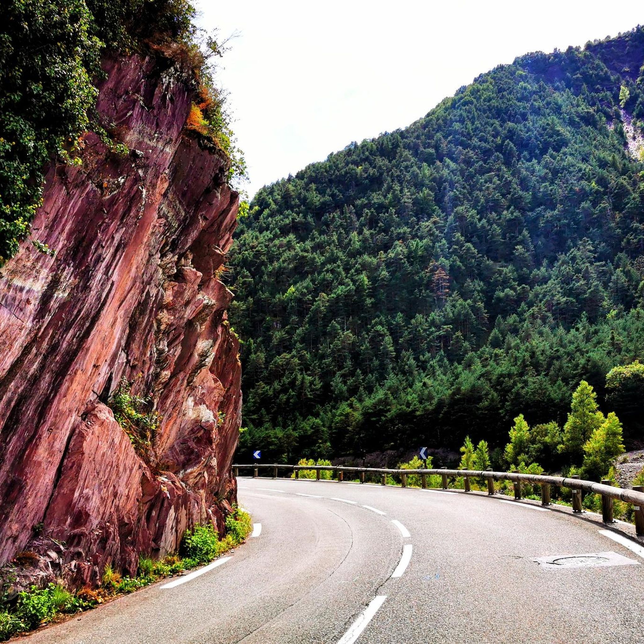
This difficult 42.9-mile road cycling loop tackles the challenging Col de la Couillole and the stunning red canyons of Gorges du Cians.
4.9
(15)
529
riders
48.1km
03:20
1,710m
1,710m
Hard road ride. Very good fitness required. Mostly well-paved surfaces and easy to ride.

Sign up for free
151
riders
88.0km
05:49
2,750m
2,750m
Hard road ride. Very good fitness required. Mostly well-paved surfaces and easy to ride.
5.0
(1)
121
riders
69.7km
04:16
1,900m
1,900m
Hard road ride. Very good fitness required. Mostly well-paved surfaces and easy to ride.
163
riders
45.4km
02:59
1,430m
1,430m
Hard road ride. Very good fitness required. Mostly well-paved surfaces and easy to ride.
Get access to more routes and recommendations from other explorers.
Sign up for free
Already have an account?
Our route recommendations are based on thousands of hikes, rides, and runs completed by other people on komoot.
Start today with a free account
Your next adventure awaits.
Login or Signup
Popular around Saint-Sauveur-Sur-Tinée

Europe Trail (GR 5) – Hike from Nice to Saint-Étienne-de-Tinée

Cycling from the Italian Riviera to the French Alps – Alpine Arc (part 1)
Hiking around Saint-Sauveur-Sur-Tinée
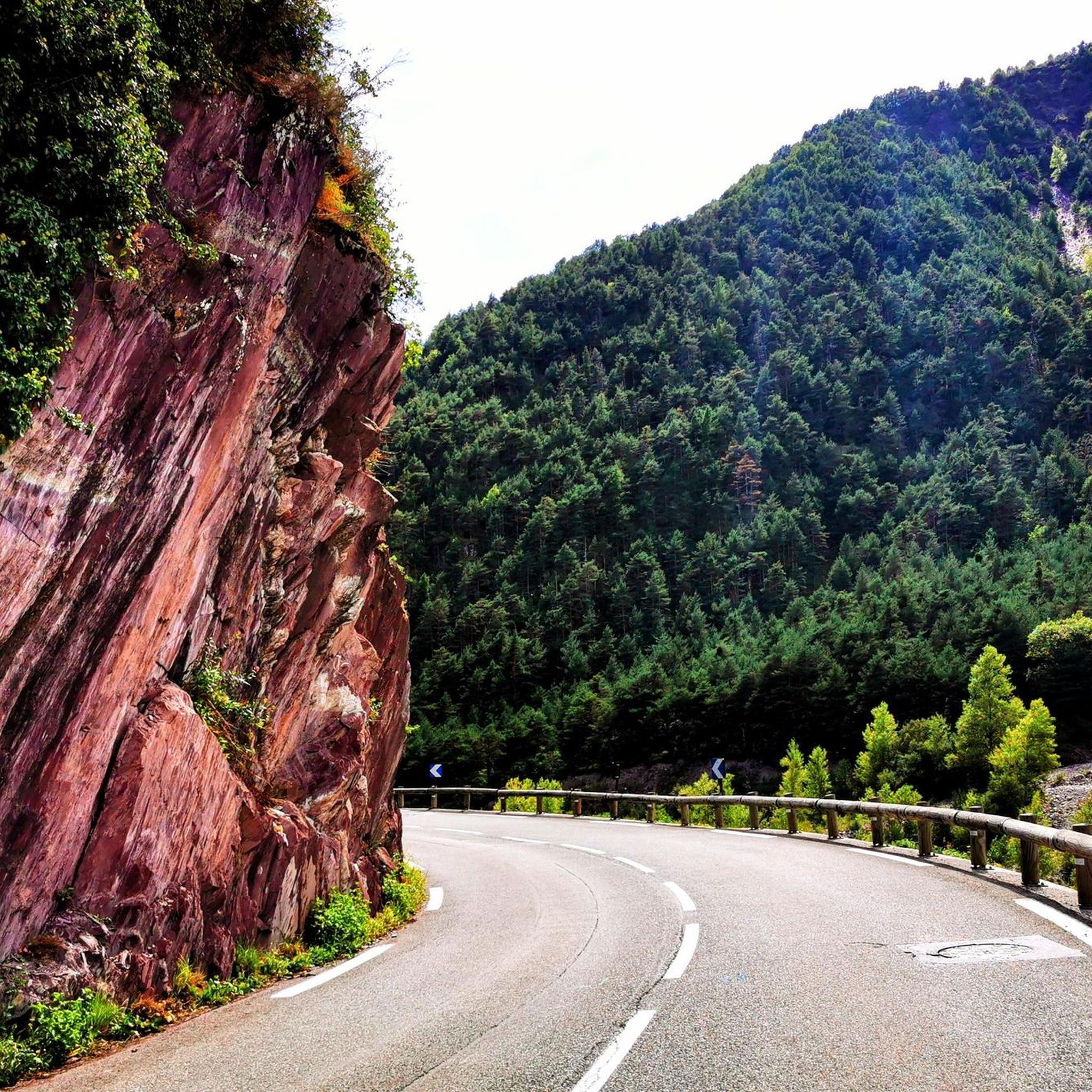
Cycling around Saint-Sauveur-Sur-Tinée
Running Trails around Saint-Sauveur-Sur-Tinée
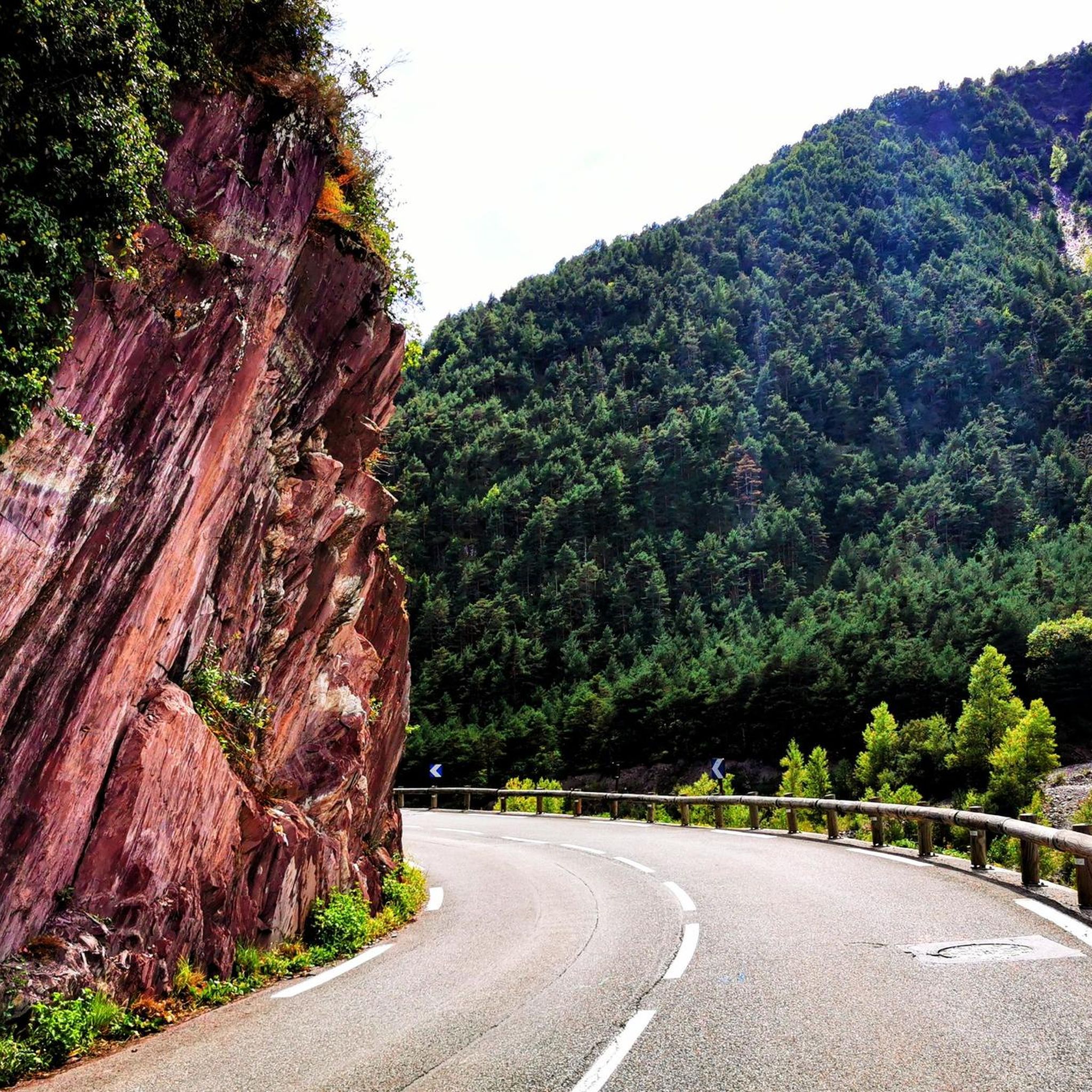
MTB Trails around Saint-Sauveur-Sur-Tinée

Gravel biking around Saint-Sauveur-Sur-Tinée

Mountain Hikes around Saint-Sauveur-Sur-Tinée


Tips from the Community

Please note, I visited on October 12, 2025 and the fountain wasn't working! Perhaps it only works in the summer?
0
0

The Col de Sainte-Anne is a pass at an altitude of 425 meters in the French department of Bouches-du-Rhône.
0
1
The Col de la Couillole is a mountain pass in the Massif du Mercantour-Argentera of the French Alps, situated at an altitude of 1,678 m (5,505 ft) in the Alpes-Maritimes department, France. The road connection is open for six to seven months of the year, allowing travel between the Cians gorges in the west and the Tinée valley in the east.
0
0
The Col Saint-Martin Pass, or Col de la Colmiane, is a mountain pass in the Southern Alps located at an altitude of 1,500 meters in the Alpes-Maritimes department of France. It provides a year-round road link between the Tinée Valley to the west and the Vésubie Valley to the east.
0
0
The Col de la Couillole is a mountain pass in the Massif du Mercantour-Argentera of the French Alps, situated at an altitude of 1,678 m (5,505 ft) in the Alpes-Maritimes department, France. The road connection is open for six to seven months of the year, allowing travel between the Cians gorges in the west and the Tinée valley in the east.
0
0
The Col Saint-Martin Pass, or Col de la Colmiane, is a mountain pass in the Southern Alps located at an altitude of 1,500 meters in the Alpes-Maritimes department of France. It provides a year-round road link between the Tinée Valley to the west and the Vésubie Valley to the east.
0
0
Col Saint Martin (el. 1500 m.) is a high mountain pass in the Alps in the department of Alpes-Maritimes in France.[1] It is traversed by the D-2205 highway.[2] The place has been crossed at the Tour de France road cycling race in 1973, 1975 and 2020, as well as at multiple editions of the Paris-Nice.
0
0

https://youtu.be/hC4eceIyyMw?si=515BXh8fRIHsMTkt At the top, there's a wooden stall with snacks and drinks; that's it, a road pass.
0
0
Frequently Asked Questions
How many road cycling routes are available in Saint-Sauveur-Sur-Tinée?
There are over 30 road cycling routes around Saint-Sauveur-Sur-Tinée, offering a wide range of options for different skill levels. The region is particularly known for its challenging mountain passes and scenic valley roads.
Are there easy road cycling routes for beginners in Saint-Sauveur-Sur-Tinée?
While the region is characterized by significant elevation changes, there are 3 easy road cycling routes available. These routes offer a gentler introduction to the area's beautiful landscapes, though some climbing is still to be expected.
What are some challenging road cycling routes for experienced riders?
Experienced riders will find plenty of challenging routes. For example, the Col de la Couillole and Gorges du Cians Loop is a difficult 42.9-mile (69.0 km) trail with over 2,300 meters of elevation gain. Another demanding option is the Saint-Martin Pass (La Colmiane) – Saint-Martin-Vésubie loop from Rimplas, covering 69.1 km with nearly 1,900 meters of ascent.
What is the best time of year for road cycling in Saint-Sauveur-Sur-Tinée?
The best time for road cycling in Saint-Sauveur-Sur-Tinée is typically from late spring to early autumn (May to October). During these months, the weather is generally more stable, and the high mountain passes are usually clear of snow, offering optimal conditions for exploring the region's challenging terrain.
What kind of terrain can I expect on road cycling routes in this region?
Road cycling routes in Saint-Sauveur-Sur-Tinée traverse a mountainous landscape featuring high alpine passes, deep gorges, and winding valley roads. You can expect significant elevation changes, with routes navigating through varied terrain including forested sections and open mountain vistas.
Are there road cycling routes with panoramic viewpoints?
Yes, many routes in the region offer spectacular panoramic views, especially as you ascend the various mountain passes. The Col de la Lombarde loop from Col de la Lombarde / Colle della Lombarda, for instance, provides sustained climbing to a high mountain pass with expansive vistas of the surrounding Alpes-Maritimes.
Can I find circular road cycling routes in Saint-Sauveur-Sur-Tinée?
Yes, many of the road cycling routes in Saint-Sauveur-Sur-Tinée are designed as loops, allowing you to start and finish in the same location. Examples include the Col de la Couillole and Gorges du Cians Loop and the Col de la Couillole (1,678 m) – Col de la Couillole loop from Marie.
What attractions can I see along the road cycling routes?
The region offers several natural attractions. You can encounter various mountain passes such as Col de la Lombarde or Col de la Couillole. While the immediate vicinity of Saint-Sauveur-Sur-Tinée is mountainous, some routes might lead you towards beautiful lakes like Lago delle Portette or Lower Valscura Lake in the broader area.
Is public transport available to access road cycling trails?
Public transport options to access specific trailheads directly in the remote mountainous areas around Saint-Sauveur-Sur-Tinée can be limited. It's advisable to check local bus schedules, particularly for routes connecting to larger towns, or consider driving to a starting point with parking.
Where can I find parking near road cycling routes?
Parking is generally available in the villages and towns that serve as starting points for many routes, such as Saint-Sauveur-Sur-Tinée itself or nearby hamlets. Look for designated parking areas or public spaces in these locations before embarking on your ride.
What do other road cyclists say about the routes in Saint-Sauveur-Sur-Tinée?
The road cycling routes in Saint-Sauveur-Sur-Tinée are highly rated by the komoot community, with an average score of 4.7 stars from over 50 reviews. Cyclists often praise the challenging climbs, the stunning alpine scenery, and the sense of accomplishment after conquering the region's demanding passes.
How long do road cycling routes typically take in Saint-Sauveur-Sur-Tinée?
The duration of road cycling routes varies significantly based on distance, elevation, and your pace. For example, the Isola Village loop from Col de la Lombarde / Colle della Lombarda, a 37.8 km trail, typically takes about 2 hours 40 minutes, while longer, more challenging routes can take upwards of 4 to 5 hours.
Most popular routes around Saint-Sauveur-Sur-Tinée
Most popular attractions around Saint-Sauveur-Sur-Tinée

Get inspired with the komoot mobile app


Explore more
Browse the best Road cycling routes in other regions.
