The best mountain hikes around Signau
4.7
(41)
201
hikers
26
hikes
Mountaineering routes around Signau are situated in the heart of the Emmental region, characterized by rolling hills, green pastures, and extensive forests. The area offers numerous accessible peaks and a network of well-marked trails that provide challenging ascents and panoramic vistas. From higher elevations, views often extend to the Bernese Alps, including prominent peaks like the Eiger and Jungfrau on clear days. This landscape provides diverse terrain for mountaineering, from forested paths to open summits.
Best mountaineering routes around Signau
- The most popular mountaineering route is Schrattenfluh – Hengst Summit loop from Salwideli, a 9.3 miles (15.0 km) trail that takes 5 hours 31 minutes to complete. This difficult route features significant elevation gain and expansive summit views.
- Another top favourite among local mountaineers is Sichle Pass – Schibe Summit loop from Säge, a difficult 7.9 miles (12.7 km) path. This route traverses varied terrain, including forested sections and open ridges leading to the summit.
- Local mountaineers also love the Schrattenfluh – Hengst Summit loop from Wagliseichnubel, a 5.8 miles (9.3 km) trail leading through the diverse Emmental landscape, often completed in about 4 hours 13 minutes.
- Mountaineering around Signau is defined by numerous peaks, rolling hills, and views of the Bernese Alps. The network offers options for both moderate and difficult ability levels.
- The routes in Signau are highly rated by the komoot community with an average score of 4.7 stars from over 30 reviews. More than 200 mountaineers have used komoot to explore Signau's varied terrain.
Last updated: October 9, 2026
4.7
(3)
24
hikers
15.1km
05:33
790m
790m
Hard mountaineering route. Very good fitness required. Mostly accessible paths. Sure-footedness required.
5.0
(5)
13
hikers
12.6km
05:53
880m
880m
Hard mountaineering route. Very good fitness required. Sure-footedness, sturdy shoes and alpine experience required.

5.0
(2)
5
hikers
9.34km
04:13
660m
660m
Moderate mountaineering route. Good fitness required. Mostly accessible paths. Sure-footedness required.
4.7
(3)
8
hikers
11.4km
05:12
950m
950m
Hard mountaineering route. Very good fitness required. Sure-footedness, sturdy shoes and alpine experience required.
6
hikers
Moderate mountaineering route. Good fitness required. Easily-accessible paths. Suitable for all skill levels.
3.0
(1)
3
hikers
12.2km
05:10
880m
880m
Hard mountaineering route. Very good fitness required. Sure-footedness, sturdy shoes and alpine experience required.
5
hikers
8.13km
03:30
610m
610m
Moderate mountaineering route. Good fitness required. Mostly accessible paths. Sure-footedness required.
7
hikers
10.8km
04:33
620m
620m
Hard mountaineering route. Good fitness required. Sure-footedness, sturdy shoes and alpine experience required.
2
hikers
Hard mountaineering route. Very good fitness required. Mostly accessible paths. Sure-footedness required.
3
hikers
Moderate mountaineering route. Good fitness required. Mostly accessible paths. Sure-footedness required.
Get access to more routes and recommendations from other explorers.
Already have an account?
Our route recommendations are based on thousands of hikes, rides, and runs completed by other people on komoot.
Start today with a free account
Your next adventure awaits.
Popular around Signau
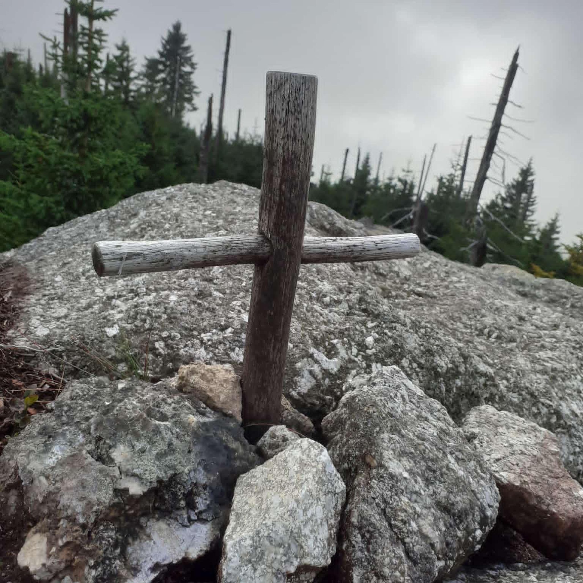
Mountain Hikes around Schangnau
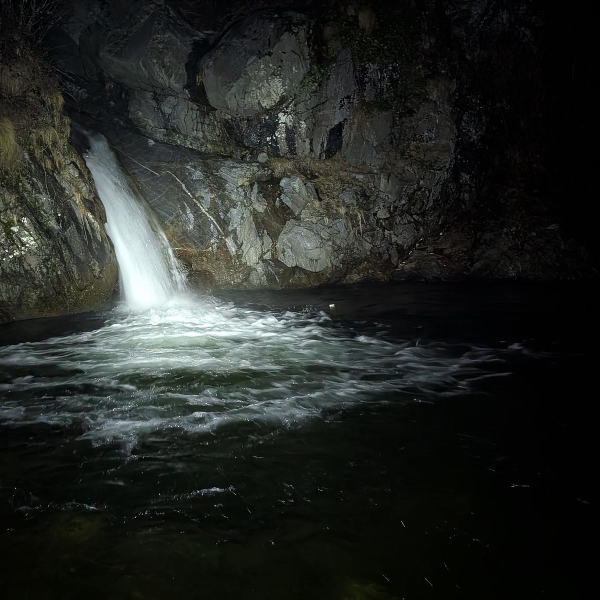
Mountain Hikes around Röthenbach im Emmental
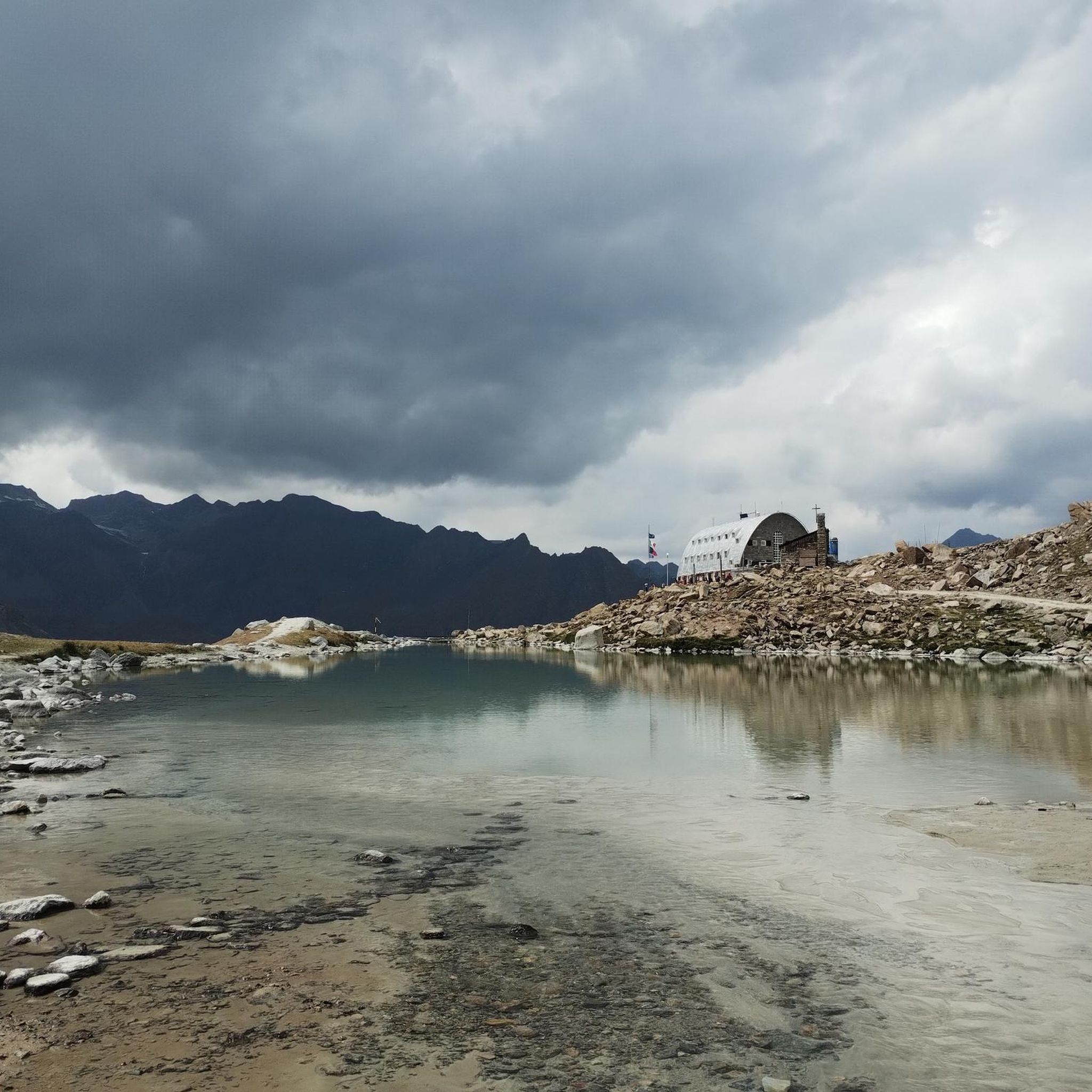
Mountain Hikes around Eggiwil
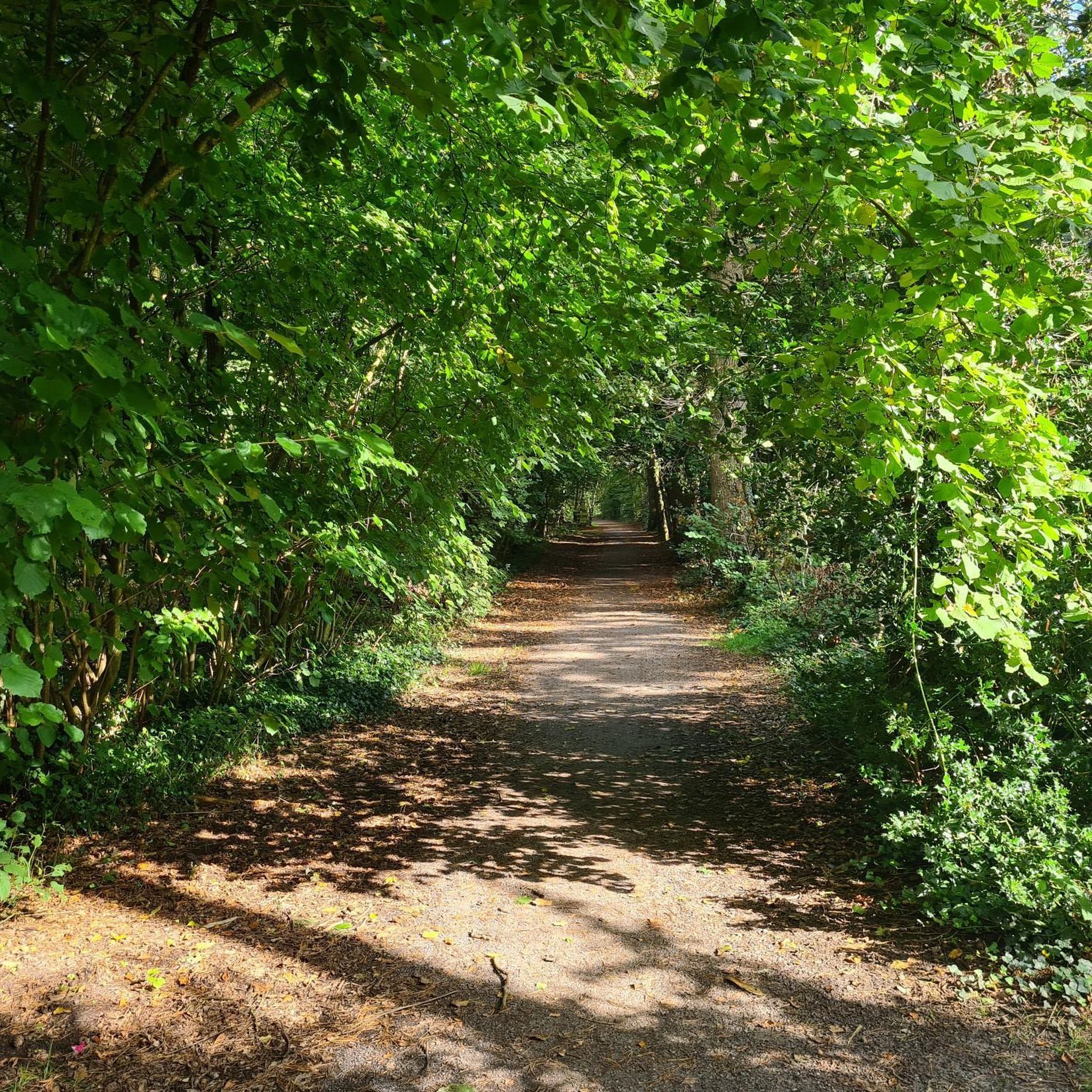
Mountain Hikes around Trub
Mountain Hikes around Langnau im Emmental

Mountain Hikes around Trubschachen
Napfbergland Border Trail – Hike between Bern and Lucerne

Alpine Panorama Trail in Switzerland – Keep your eyes on the mountains

Trans Swiss Trail – Hiking across Switzerland
The Herzroute – Cycling through the heart of Switzerland
Other adventures around Signau


Tips from the Community

pretty here, very pretty
0
0

Be careful, this is no walk in the park...
0
1


Rest bench with a beautiful view... Immediately after leaving the small forest
1
0

The signpost is on the road next to the chapel
4
1

Ideal early in the morning. But there are also plenty of opportunities to take a break later and enjoy the fantastic view.
1
0
Frequently Asked Questions
How many mountaineering routes are available around Signau?
There are nearly 30 dedicated mountaineering routes around Signau, offering a wide range of experiences. Most of these are rated as difficult, with a good selection of moderate options also available.
Are there mountaineering routes suitable for different skill levels?
Yes, the Signau region offers routes for various skill levels. While the majority of the 29 routes are classified as difficult, there are 7 moderate routes that provide a less strenuous, yet still rewarding, mountaineering experience.
What kind of views can I expect on the mountaineering routes in Signau?
From many of the higher vantage points, especially peaks like the Napf and Blaseflue, you can enjoy stunning panoramic views. These often include the rolling Emmental hills, the Jura chain, the Lucerne hinterland, and on clear days, the majestic Bernese Alps, with glimpses of prominent peaks like the Eiger and Jungfrau.
Are there any circular mountaineering routes in the Signau area?
Yes, many of the mountaineering routes around Signau are designed as circular paths. For example, you could explore the Schrattenfluh – Hengst Summit loop from Salwideli, a challenging 9.3-mile route, or the Sichle Pass – Schibe Summit loop from Säge, which covers 7.9 miles through varied terrain.
What are some interesting natural attractions or landmarks I can see along the routes?
The region is rich in natural beauty. You can visit the Napf Summit & Panoramic Viewpoint, explore the Emme Gorge and the Waterfalls at Küblisbühl, or discover the unique Over 350-Year-Old White Fir. There are also beautiful Crocus Fields at Hinter Rämisgummen during spring.
Are there any places to eat or stay near the mountaineering trails?
Yes, you'll find several welcoming spots. The Stächelegg Mountain Inn is a popular stop, as is the Kemmeriboden Bad Country Inn. Other options include the Lushütte Alp Restaurant and Bärnsicht Lüderenalp, offering refreshments and often stunning views.
Can I reach the mountaineering routes around Signau using public transport?
Many of the trailheads and villages in the Emmental region, such as Signau and Röthenbach, are accessible by public transport. This allows for flexible planning, especially for point-to-point routes or accessing circular trails without needing a car.
What do other mountaineers say about the routes in Signau?
The mountaineering routes in Signau are highly regarded by the komoot community, with an average rating of 4.7 out of 5 stars from over 30 reviews. Mountaineers often praise the diverse terrain, the challenging ascents, and the rewarding panoramic views of the Bernese Alps.
Are there any moderate mountaineering routes that offer great views?
Absolutely. The Schrattenfluh – Hengst Summit loop from Wagliseichnubel is a moderate 5.8-mile route that takes you through the diverse Emmental landscape, offering excellent views. Another moderate option is the Hapfigchnubel loop from Napf, which provides beautiful vistas.
What is the typical duration for a mountaineering route in this area?
The duration varies significantly depending on the route's length and difficulty. For instance, a difficult route like the Trogenhorn loop from Säge can take over 5 hours, while a moderate one like the Mountaineering loop from Luthern Bad might be completed in around 3 hours and 10 minutes.
Are there any routes that lead to prominent summits without mechanical access?
Yes, the Napf Summit is a prime example. No car roads or cable cars lead to its peak, ensuring a more unspoiled mountain experience. Routes like the Stächelegg Mountain Inn – View of the Bernese Oberland from Napf loop from Fankhaus Schulhaus offer a challenging ascent to this iconic viewpoint.
Most popular routes around Signau
Most popular attractions around Signau

Get inspired with the komoot mobile app


Didn’t find what you were looking for?
Check out more Mountain Hikes & Routes throughout Signau below and find the perfect route in your destination.
Explore more
Browse the best Mountain Hikes & Routes in other regions.
