The best waterfall hikes and walks around Signau
4.5
(1488)
9,421
hikers
3
hikes
Waterfall hiking trails around Signau are set within the picturesque Emmental region of Canton Bern, Switzerland. The area is characterized by rolling green hills, lush pastures, and dense forests, with the Ilfis river flowing through its valleys. Hikers can experience diverse landscapes, from gentle slopes to paths winding through enchanting woodlands. Several routes offer panoramic views of the Bernese Alps, providing a varied natural backdrop for outdoor exploration.
Best waterfall hiking trails around Signau
- The most popular waterfall hiking route…
Last updated: August 17, 2026
4.8
(61)
336
hikers
8.79km
02:50
130m
560m
Moderate hike. Good fitness required. Mostly accessible paths. Sure-footedness required.
4.7
(38)
199
hikers
8.13km
03:18
550m
550m
Moderate hike. Good fitness required. Mostly accessible paths. Sure-footedness required.

Sign up for free
4.2
(41)
243
hikers
11.0km
03:14
290m
290m
Moderate hike. Good fitness required. Mostly accessible paths. Sure-footedness required.
4.7
(43)
215
hikers
3.02km
00:58
130m
130m
Easy hike. Great for any fitness level. Easily-accessible paths. Suitable for all skill levels.
4.6
(13)
93
hikers
21.5km
06:12
490m
490m
Hard hike. Very good fitness required. Easily-accessible paths. Suitable for all skill levels.
Our route recommendations are based on thousands of hikes, rides, and runs completed by other people on komoot.
Start today with a free account
Your next adventure awaits.
Login or Signup
Popular around Signau
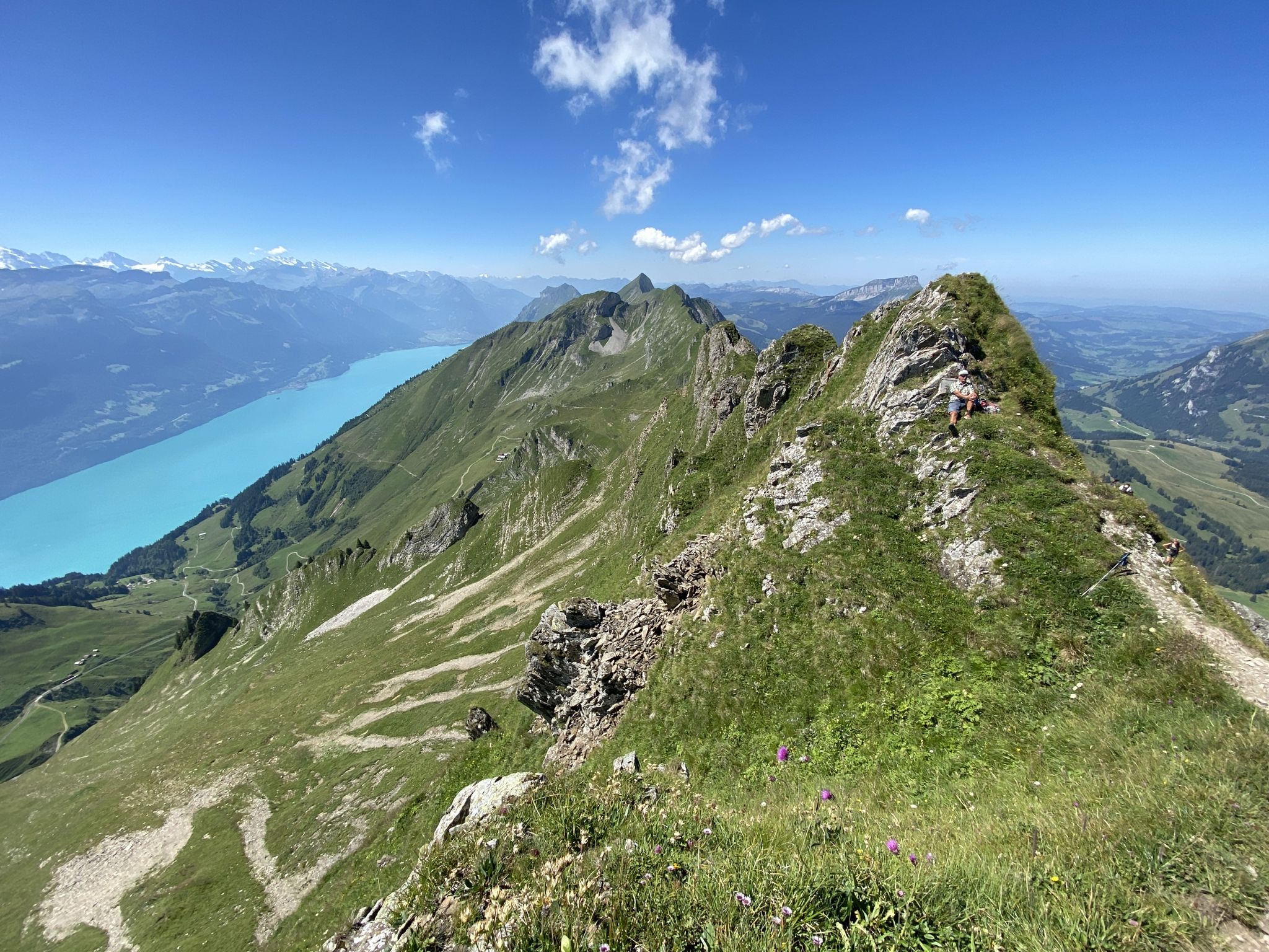
Napfbergland Border Trail – Hike between Bern and Lucerne

Alpine Panorama Trail in Switzerland – Keep your eyes on the mountains

Trans Swiss Trail – Hiking across Switzerland
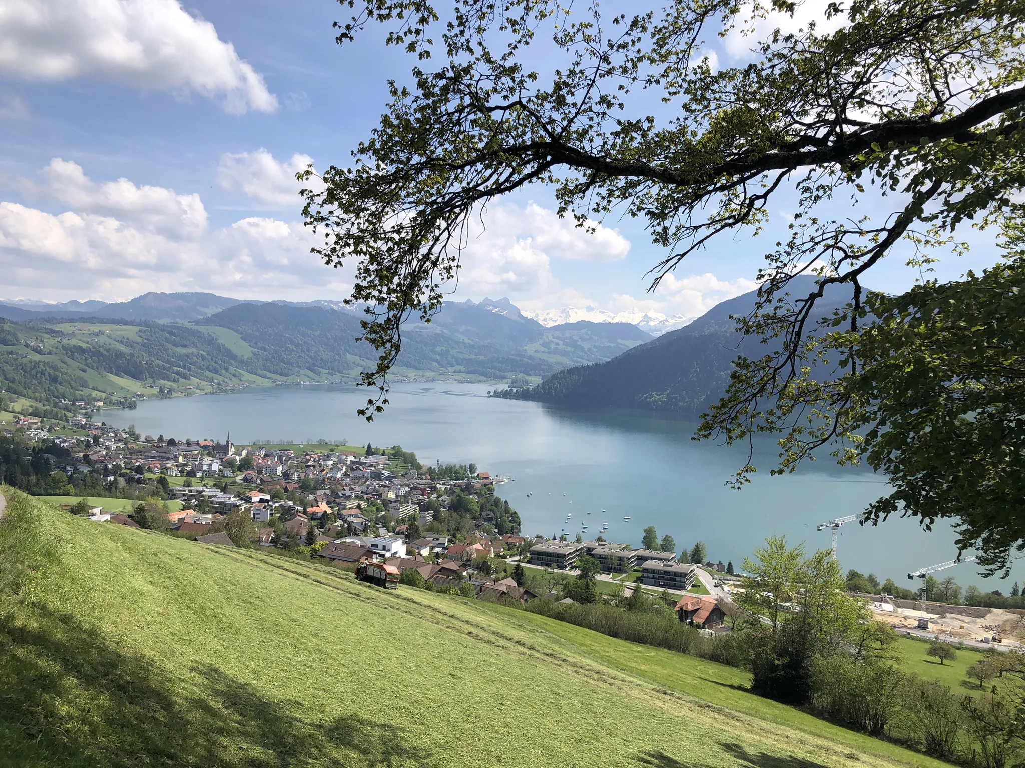
The Herzroute – Cycling through the heart of Switzerland
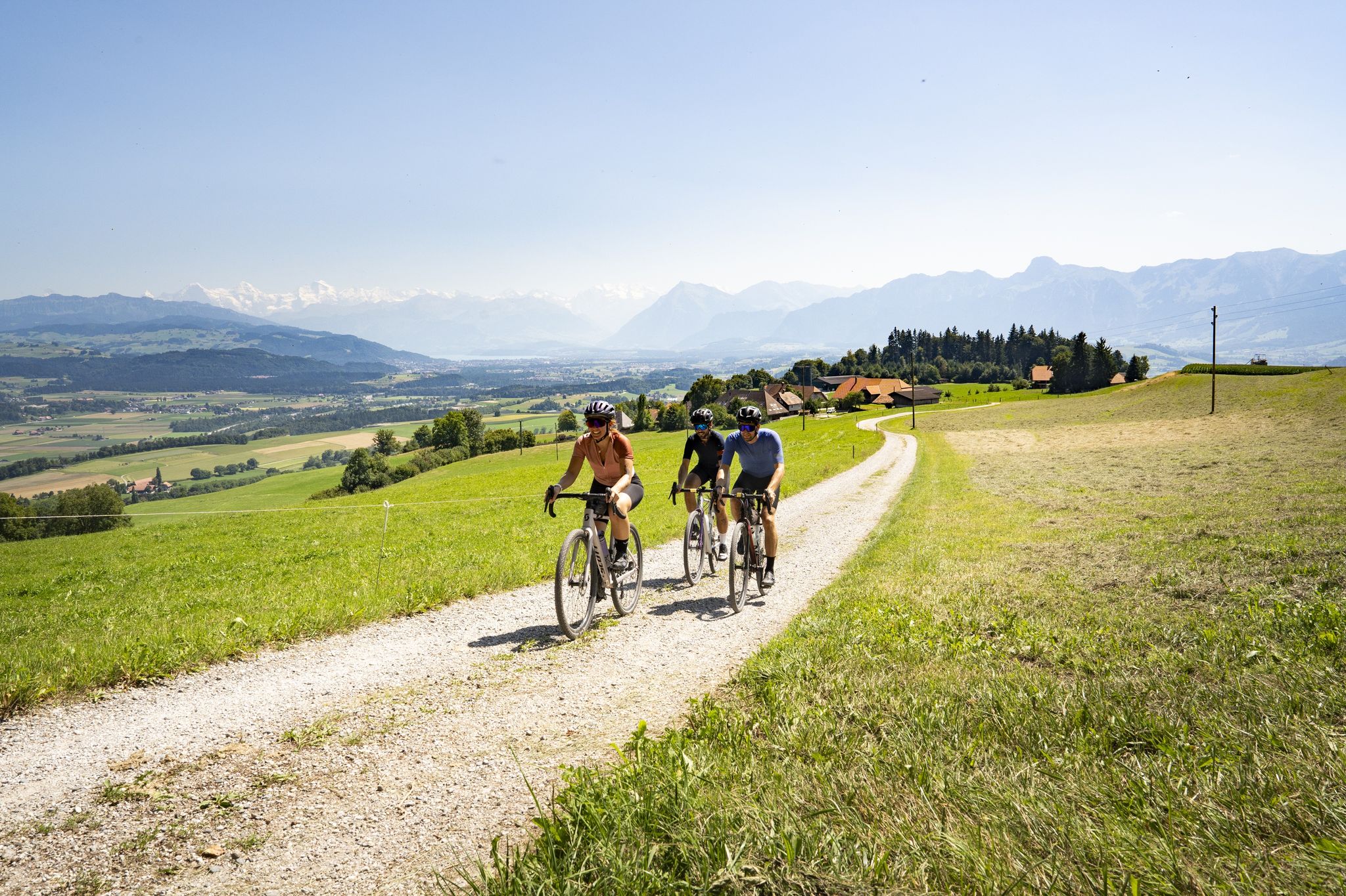
Gravel riding in the heart of Switzerland – the finest routes in Bern
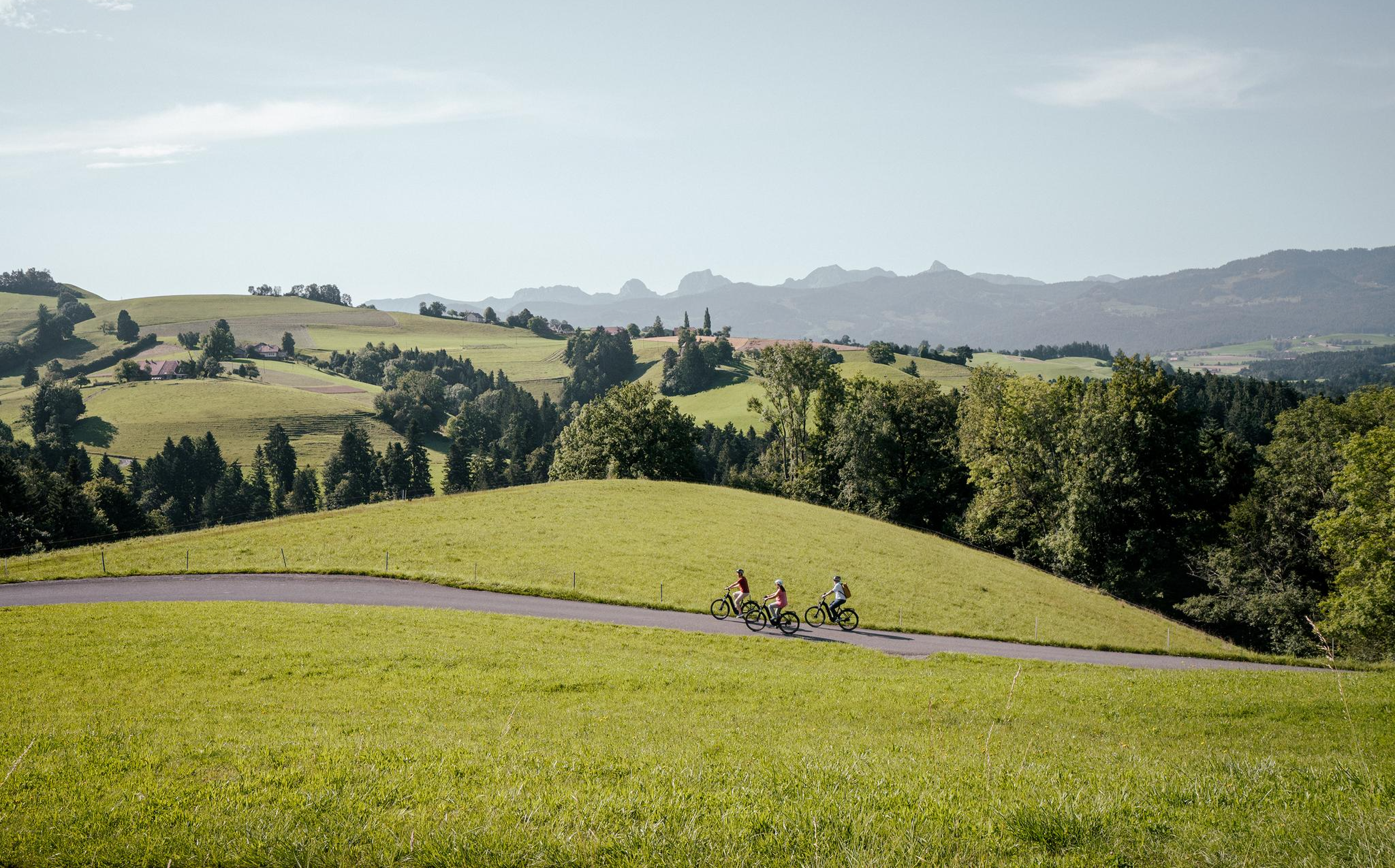
E-Biking in the Heart of Switzerland – the Top 10 Routes in Bern
Other adventures around Signau


Tips from the Community

Lake Brienz Lake Brienz is located in the Bernese Oberland between the communities of Interlaken in the west and Brienz in the east. The lake area is located in the communities of Ringgenberg, Niederried, Oberried and Brienz on the northern shore of the lake and Interlaken, Bönigen and Iseltwald on the southern shore. The large Bernese Oberland lake is fed by many mountain streams, mainly by the Aare in the east and the Lütschine in the west. At Interlaken, the Aare flows out of the turquoise-blue Lake Brienz and flows back into Lake Thun a little later in the Weissenau area. At normal water levels, the lake is at an altitude of 564 meters above sea level. With an area of almost 30 square kilometers, Lake Brienz is the eleventh largest lake in Switzerland and the third largest in the canton of Bern after Lake Thun and Lake Biel. It stretches 14km in an east-west direction and is almost three kilometers wide. There is only one island in Lake Brienz. The snail island - dialect: Schnäggeninseli - is located around 250m from the shore near Iseltwald. The circumference of Lake Brienz is almost 35km. The annual Lake Brienz Run circles the lake along the shore. Text / Source: Schweizersee.ch https://www.schweizersee.ch/brienzersee/
12
0
Swimming in Lake Brienz The clear but often cold Lake Brienz offers only a few wild bathing spots due to the steep slopes, but is considered the cleanest lake in Switzerland. There are four lidos spread around the lake. These are the Niederried outdoor pool, the Bönigen lido, the Iseltwald lido and the Brienz lido. An overview of the four lidos can be found here: «Lake Brienz lidos». If you need warmer temperatures for your bathing fun, the nearby Burgseeli in Ringgenberg is recommended. Text / Source: Schweizersee.ch https://www.schweizersee.ch/brienzersee/
12
0

A visit to Iseltwald is often combined with a boat trip on the turquoise-blue Lake Brienz, because especially in spring and summer there are hardly any nicer ways to be chauffeured from A to B. If you want to include a boat trip in your hiking program, it is worth taking a quick look at the BLS Schifffahrt AG timetable beforehand. This way you can plan your arrival in Iseltwald accordingly. https://www.bls-schiff.ch/de
1
1

On this lakeside trail, you can admire breathtaking turquoise waters framed by dramatic Alpine peaks. The trail offers easy, well-maintained tracks that wind through lush forests and past picturesque Swiss villages, making it an ideal place for a leisurely stroll. This route is particularly beautiful in the morning light or late afternoon, when you can catch a glimpse of the golden reflections of the lake.
0
0

Fantastically beautiful place, the hotel offers very beautiful views of the lake and waterfalls
1
0
At Giessbachfall I, you’ll have breathtaking views of Lake Brienz, framed by the cascading Giessbach Falls, which tumble down lush, forested cliffs. The turquoise lake lies serenely below, contrasting beautifully with the powerful, misty falls rushing past you. A historic footbridge allows you to cross directly behind the waterfall, adding a touch of adventure.
0
0

The track is currently coloured in accordance with its original period, i.e. green/beige. The red paintwork visible in many photos corresponds to the more recent past.
0
0

Very beautiful nature park. A must see.
0
0
Frequently Asked Questions
How many waterfall hiking trails are available around Signau?
There are several dedicated waterfall hiking trails around Signau, offering a variety of experiences. This guide highlights 3 main routes, but komoot offers a total of 5 detailed tours that focus on the stunning waterfalls in the region, catering to different fitness levels and preferences.
Are there easy waterfall hikes suitable for families or beginners?
Yes, the Signau region offers easy waterfall hikes perfect for families or those new to hiking. A great option is the Giessbach Falls – Lower Giessbach Falls loop from Giessbachfälle. This route is approximately 3.0 km long and can be completed in under an hour, providing an accessible way to experience the beauty of the falls.
What are the most popular waterfall hikes in the Signau area?
Among the most popular waterfall hikes, the Iseltwald - Giessbach Lakeside Trail stands out. It's a moderate 8.8 km route offering scenic views along the lake and towards the Giessbach Falls. Another favorite is the View of the Giessbach Falls – Giessbach Falls loop from Brienz, a moderate 11.0 km path with expansive views.
Are there any challenging waterfall hikes for experienced trekkers?
For experienced trekkers seeking a challenge, the Giessbach Falls – Lower Giessbach Falls loop from Brienz BE is a difficult route spanning over 21 km. This longer trail provides a more strenuous and rewarding experience through varied terrain, allowing for extensive exploration of the waterfall area.
What kind of landscapes can I expect on waterfall hikes around Signau?
Waterfall hikes around Signau are set within the picturesque Emmental region, characterized by rolling green hills, lush pastures, and dense forests. Trails often wind through enchanting woodlands and along river valleys like the Ilfis. Several routes also reward hikers with breathtaking panoramic views of the majestic Bernese Alps, providing a diverse natural backdrop.
What do other hikers say about the trails in Signau?
The trails in Signau are highly rated by the komoot community, with an average score of 4.5 stars from over 1200 reviews. Hikers often praise the diverse landscapes, from gentle slopes to paths winding through enchanting woodlands, and the stunning views of the Bernese Alps. Over 8700 hikers have used komoot to explore Signau's varied terrain.
Are there any circular waterfall walks in the Signau region?
Yes, several waterfall routes around Signau are designed as loops, allowing you to start and end at the same point. For example, the View of the Giessbach Falls – Giessbach Falls loop from Brienz and the Giessbach Falls – Lower Giessbach Falls loop from Giessbachfälle are excellent circular options for experiencing the waterfalls.
What other attractions or points of interest are near the waterfall trails?
While focusing on waterfalls, the Signau region offers additional attractions. You can explore nearby mountain peaks like Napf Summit & Panoramic Viewpoint or Hohgant Summit for expansive views. The area also features charming local eateries such as Kemmeriboden Bad Country Inn or Moosegg Restaurant, perfect for a post-hike meal.
Is the Emmental region known for anything else besides waterfalls that I might encounter on a hike?
Absolutely. The Emmental region is famous for its rolling green hills, traditional farmhouses, and of course, Emmental cheese. Many trails pass through lush pastures and offer opportunities to see local farms. You might also encounter cultural landmarks like the 1000-year-old wooden church in Würzbrunnen, adding a historical dimension to your natural exploration.
What is the best time of year to visit Signau for waterfall hikes?
The best time to visit Signau for waterfall hikes is typically during spring and early summer when the snowmelt feeds the waterfalls, making them particularly powerful and impressive. Autumn also offers beautiful scenery with vibrant foliage. While some trails may be accessible in winter, conditions can be challenging due to snow and ice, requiring appropriate gear.
Are there any moderate waterfall hikes that offer a good balance of distance and scenery?
Yes, for a balanced experience, consider the Lower Giessbach Falls – Giessbach Falls loop from Giessbachfälle. This moderate route covers approximately 8.1 km and takes around 3 hours and 18 minutes, providing ample opportunity to enjoy the waterfall scenery without being overly strenuous.
Most popular routes around Signau
Most popular attractions around Signau

Get inspired with the komoot mobile app


