The best hikes from bus stations around Signau
4.5
(1340)
9,072
hikers
164
hikes
Bus station hiking trails around Signau are set within the Emmental region of Switzerland, characterized by its rolling, hilly terrain, expansive green pastures, and serene forests. The area offers diverse topography, ranging from gentle slopes to more challenging ascents, with panoramic views of the Bernese Alps and the Stockhorn chain. The headwaters of the Emme river also contribute to the natural landscape, providing varied environments for outdoor exploration.
Best bus station hiking trails around Signau
- The most popular bus station…
Last updated: June 28, 2026
4.7
(61)
383
hikers
6.64km
02:19
350m
350m
Moderate hike. Good fitness required. Easily-accessible paths. Suitable for all skill levels.
4.8
(20)
155
hikers
Hard hike. Very good fitness required. Mostly accessible paths. Sure-footedness required.

Sign up for free
4.7
(31)
127
hikers
5.38km
01:30
110m
110m
Easy hike. Great for any fitness level. Easily-accessible paths. Suitable for all skill levels.
4.9
(17)
77
hikers
16.8km
05:12
610m
610m
Hard hike. Very good fitness required. Easily-accessible paths. Suitable for all skill levels.
4.5
(16)
147
hikers
Moderate hike. Good fitness required. Easily-accessible paths. Suitable for all skill levels.
Get access to more routes and recommendations from other explorers.
Sign up for free
Already have an account?
Our route recommendations are based on thousands of hikes, rides, and runs completed by other people on komoot.
Start today with a free account
Your next adventure awaits.
Login or Signup
Popular around Signau
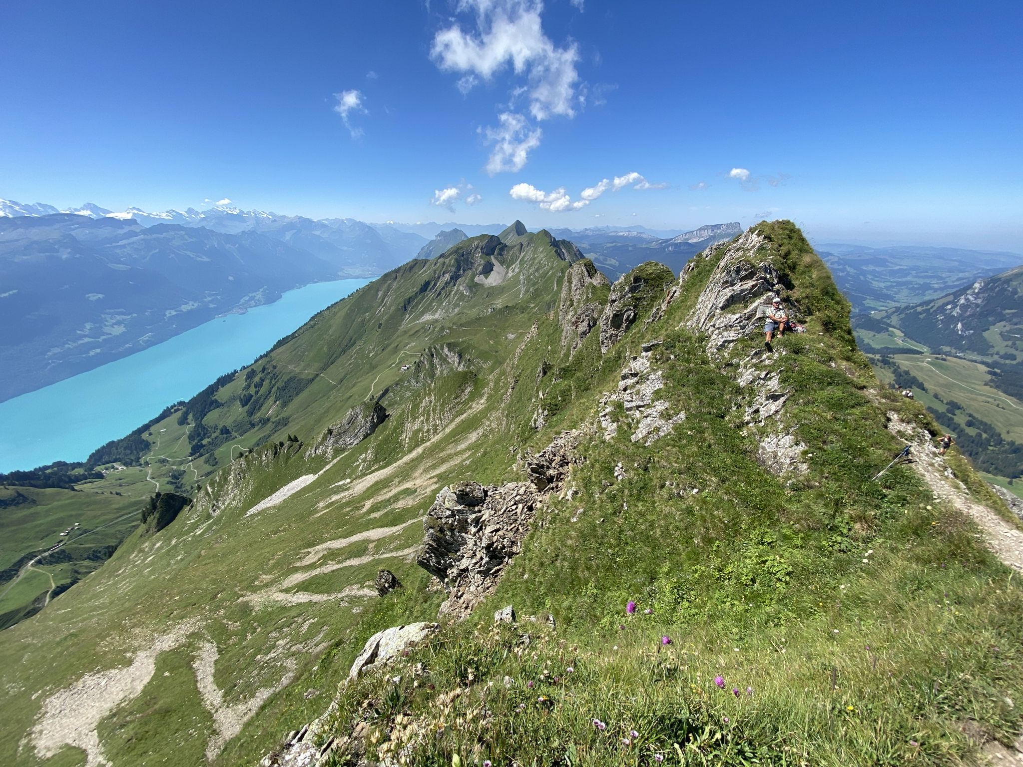
Napfbergland Border Trail – Hike between Bern and Lucerne

Alpine Panorama Trail in Switzerland – Keep your eyes on the mountains

Trans Swiss Trail – Hiking across Switzerland
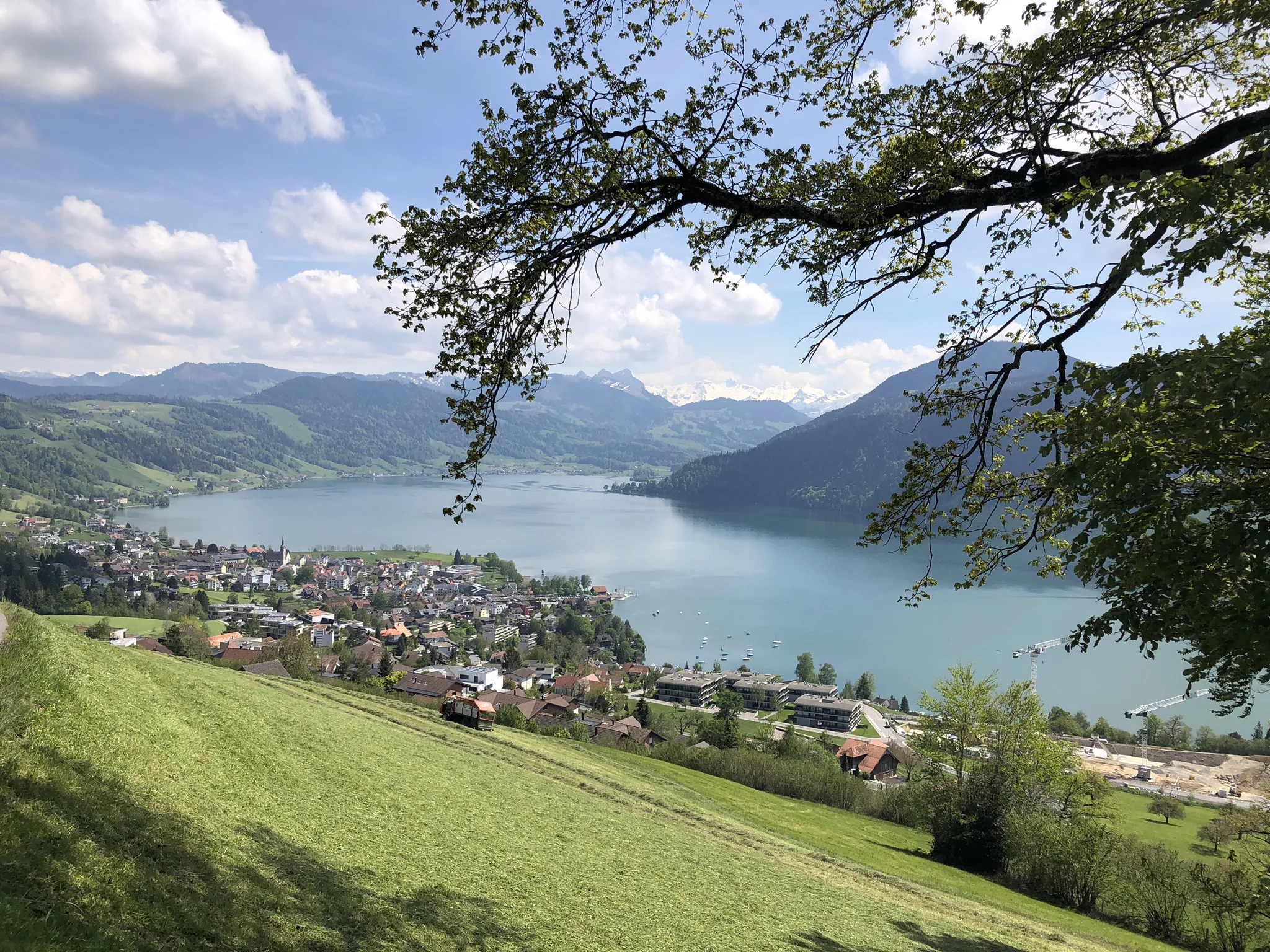
The Herzroute – Cycling through the heart of Switzerland
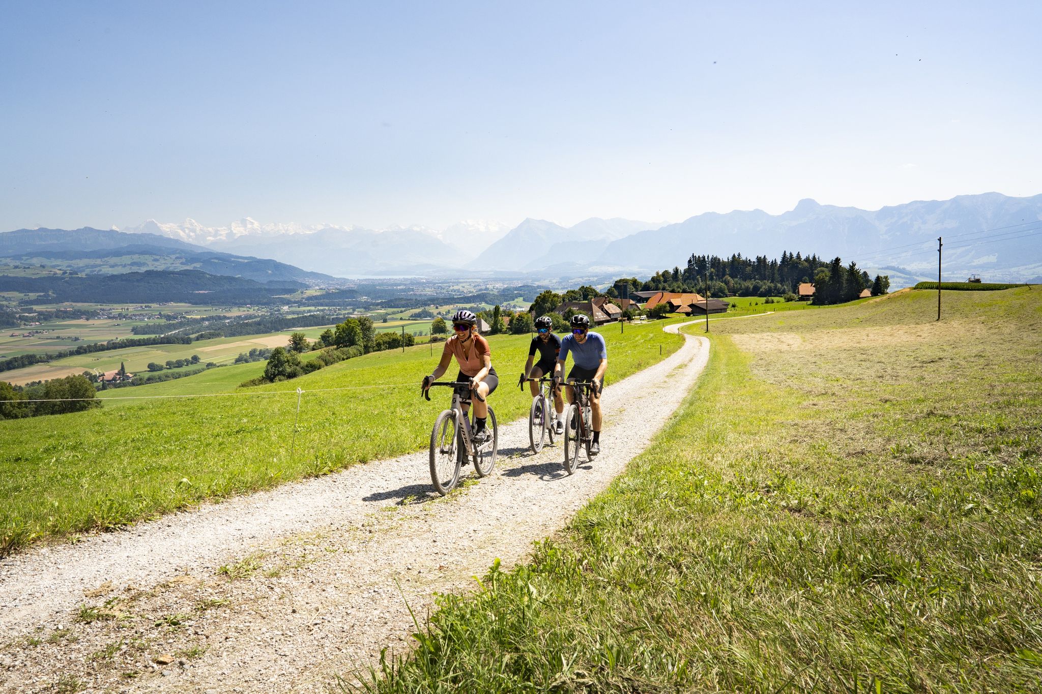
Gravel riding in the heart of Switzerland – the finest routes in Bern
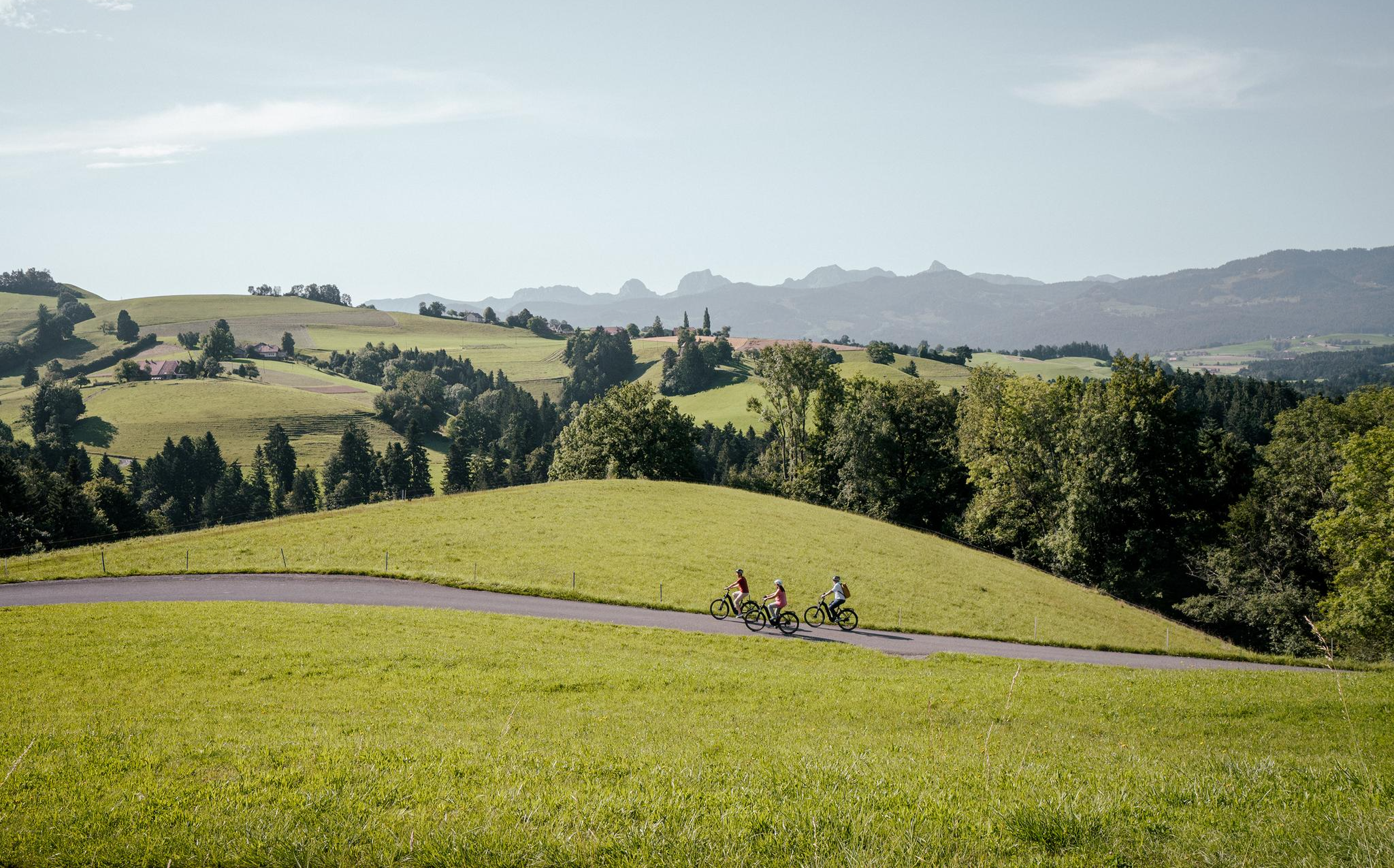
E-Biking in the Heart of Switzerland – the Top 10 Routes in Bern
Other adventures around Signau


Tips from the Community

pretty here, very pretty. is definitely worth a visit.
2
0
pretty here, very pretty. is definitely worth a visit.
1
0
pretty here, very pretty. is definitely worth a visit.
1
0

Right next to the Ramseren Bridge stands an old oak tree. From one of its arm-thick branches hangs a long swing. A sign invites everyone to sit down and swing with enthusiasm, muscle power, and fun to dizzying heights. I'm 59 years old and tried it again after what feels like a thousand years. What can I say? It was just as much fun as it was in my childhood. Thanks to the donor!
0
0
There are trees that seem to be omnivores. Nothing is safe from them. Not even a metal sign that says "No Horse Riding." So be vigilant when you pass by. We don't want only your feet sticking out of the tree. ;-)
1
0
Frequently Asked Questions
How many hiking trails are accessible directly from bus stations around Signau?
There are over 160 hiking routes around Signau that are easily accessible from bus stations. These trails cater to various fitness levels, from leisurely strolls through the Emmental countryside to more challenging ascents with panoramic views.
What kind of terrain can I expect on bus station hikes in the Signau region?
The Signau region, nestled in the Emmental, features diverse terrain. You can expect rolling, hilly landscapes, expansive green pastures, and serene forests. Trails range from gentle slopes to more challenging ascents, offering quintessential Swiss countryside experiences with views of the Bernese Alps and the Stockhorn chain.
Are there easy hiking options available from Signau bus stations?
Yes, approximately 45 of the routes accessible from bus stations in Signau are rated as easy. An example of an easy route is the Bärnsicht Lüderenalp – Bärnsicht Lüderenalp loop from Lüdernalp, which offers a pleasant walk with minimal elevation gain.
Can I find circular hiking routes starting and ending at bus stops in Signau?
Many of the trails in the Signau area are designed as circular routes, allowing you to start and finish at the same bus stop. This makes planning your trip convenient, as you won't need to arrange return transport from a different location.
What are some notable natural features or landmarks I might see on these hikes?
The Signau region is rich in natural beauty and interesting landmarks. You might encounter the Emme Gorge and the Waterfalls at Küblisbühl, or the impressive Hohgant Summit. Other highlights include the Crocus Fields at Hinter Rämisgummen during spring, and ancient trees like the Over 350-Year-Old White Fir.
Are there family-friendly hiking trails accessible by bus in Signau?
Yes, Signau offers several family-friendly options. The region's diverse trails include easier paths suitable for all ages. While not directly from a bus station, the nearby Kambly Discovery Trail is known for being family-friendly and accessible, offering a natural spectacle.
What do other hikers enjoy most about the bus station trails in Signau?
The hiking trails around Signau are highly rated by the komoot community, with an average score of 4.47 stars. Reviewers often praise the stunning panoramic views of the Bernese Alps, the idyllic Emmental countryside with its traditional houses, and the well-maintained network of trails that cater to various skill levels.
Are there any routes that offer particularly good viewpoints?
Absolutely. Many trails in the Signau region lead to fantastic viewpoints. The Blasefluh Peak, for instance, offers extensive views of the Emmental and a spectacular mountain panorama including the Eiger, Mönch, and Jungfrau. The Stächelegg Farm and Bistro – View of the Bernese Alps loop from Napf also provides excellent panoramic vistas.
Can I bring my dog on these bus-accessible hiking trails?
Generally, dogs are welcome on most hiking trails in the Signau region, provided they are kept on a leash, especially when passing through pastures with livestock. It's always a good idea to check local regulations or specific trail information for any restrictions before you go.
Are there any longer or more challenging hikes available from bus stations?
Yes, for those seeking a greater challenge, there are 25 difficult-rated routes. An example is the Stächelegg Farm and Bistro – View of the Bernese Alps loop from Fankhaus Schulhaus, which covers over 15 kilometers with significant elevation changes, offering a rewarding experience for experienced hikers.
What is the best time of year to hike from bus stations in Signau?
The Emmental region around Signau is beautiful year-round. Spring brings blooming pastures, while summer offers lush green landscapes. Autumn provides vibrant foliage and crisp air, ideal for hiking. Even in winter, some trails are suitable for snowshoeing or cleared for walking, though conditions should always be checked beforehand.
Most popular routes around Signau
Most popular attractions around Signau

Get inspired with the komoot mobile app


