Top 9 Mountain Passes around Fontrabiouse
Mountain passes around Fontrabiouse are situated in the Pyrénées-Orientales department of southern France, a mountainous region known for its natural landscapes. Fontrabiouse is a commune nestled amidst several notable mountain passes. The area offers diverse terrain, from high-altitude routes to more accessible passages. This region provides a variety of mountain pass experiences for outdoor enthusiasts.
Best mountain passes around Fontrabiouse
- The most popular mountain passes is Pailhères Pass, a mountain pass that culminates at 2,001 meters above sea level.…
Last updated: September 29, 2026
Pailhères Pass
Highlight • Mountain Pass
Translated by Google •
Tip by

Col de la Creu
Highlight • Mountain Pass
Translated by Google •
Tip by

Sign up now to discover places like this
Get recommendations on the best single tracks, peaks, & plenty of other exciting outdoor places.
Coma d'Anyell Pass
Highlight • Mountain Pass
Historically, the pass has long served as a …
Translated by Google •
Tip by

Col de Pailhères (Elevation 2,000 m)
Highlight • Mountain Pass
Translated by Google •
Tip by

Col de Juell 1,500 m
Highlight • Mountain Pass
Translated by Google •
Tip by

Sign up for free to discover even more mountain passes around Fontrabiouse.
Already have an account?
Start today with a free account
Your next adventure awaits.


Tips from the Community

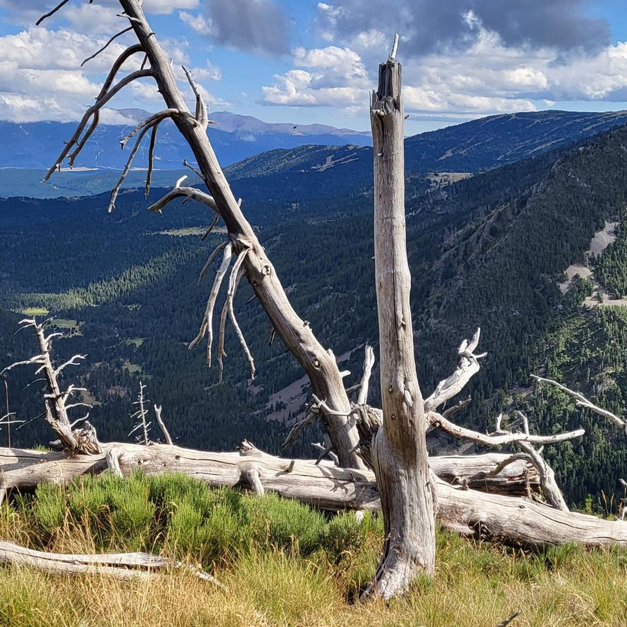
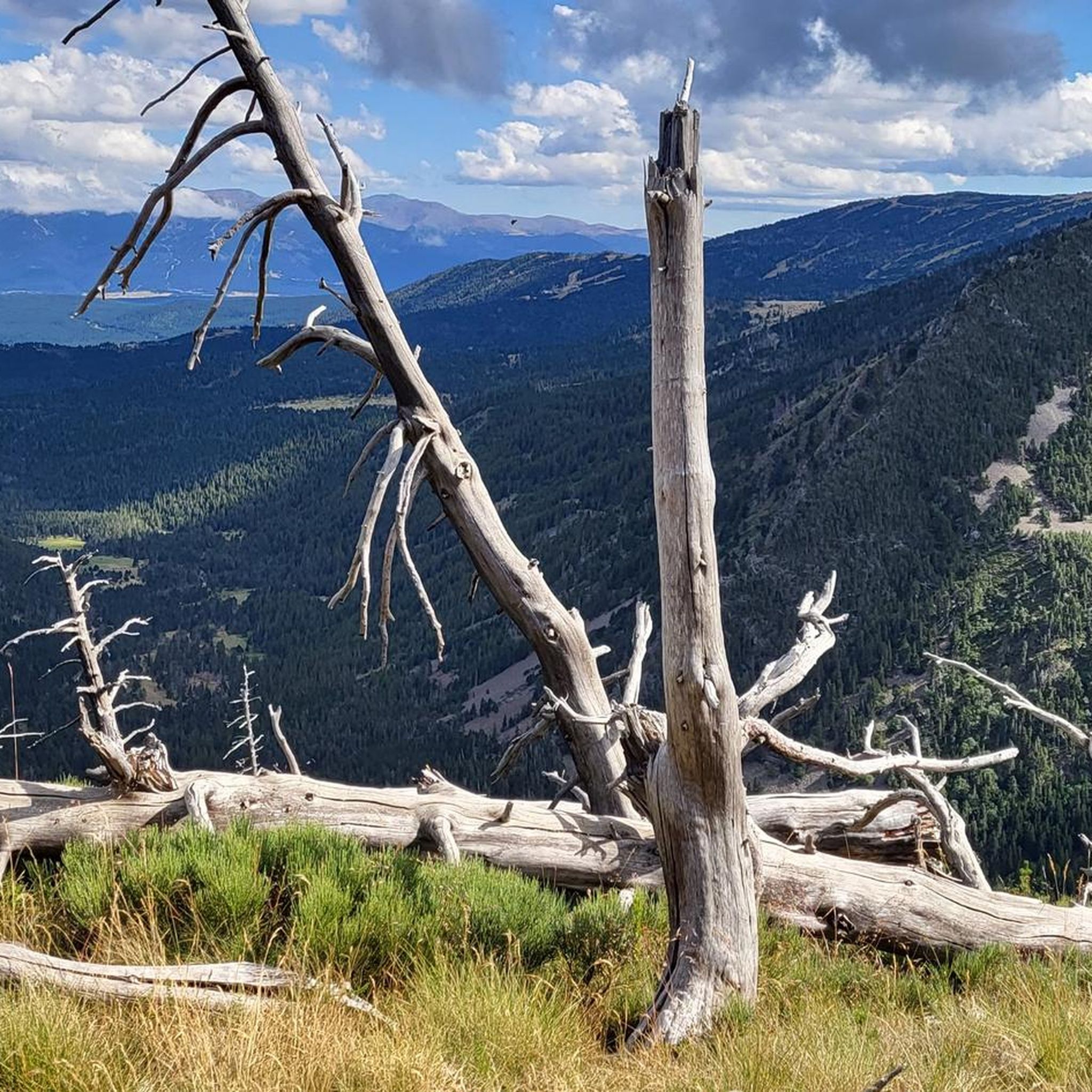
Grandiose pass, mid-June with many snowfields for running up and sliding down. Wonderful views all around, to Pic Carlit, Puig Péric and many other peaks, to Lac de Lanoux and Lac d'En Beys (on the mountainside just before the pass) and into the valley towards Hospitalet-près-l'Andorre.
0
0

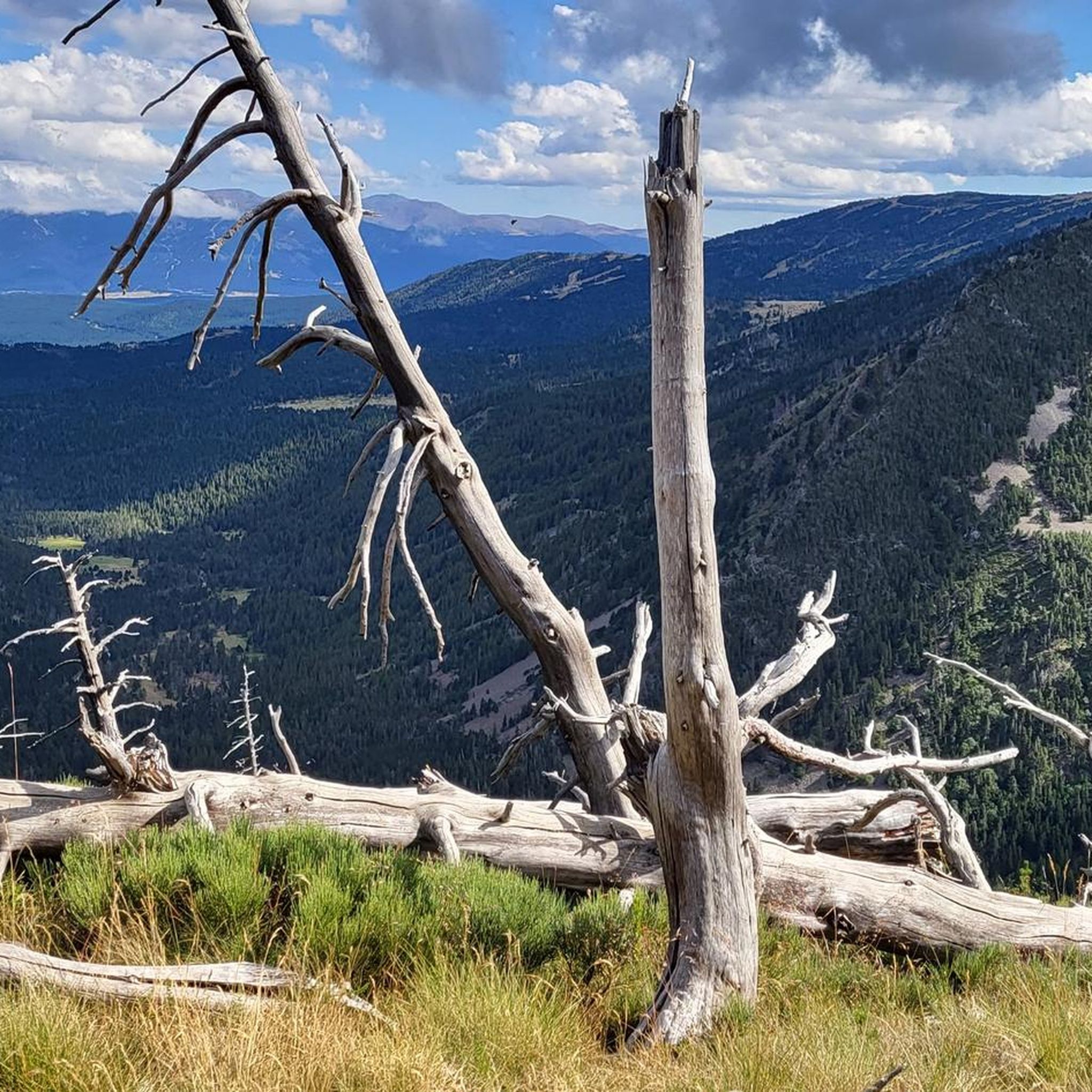
It is a small elevation that allows you to connect Railleu and Caudiès-de-Conflent with Aiguatèbia in the most direct way possible. The road is very narrow although it has been recently paved and the asphalt is simply perfect. On the Aiguatèbia slope it is approximately 3 km very hard, although with wonderful views of the valley. You can not lose this!
1
0
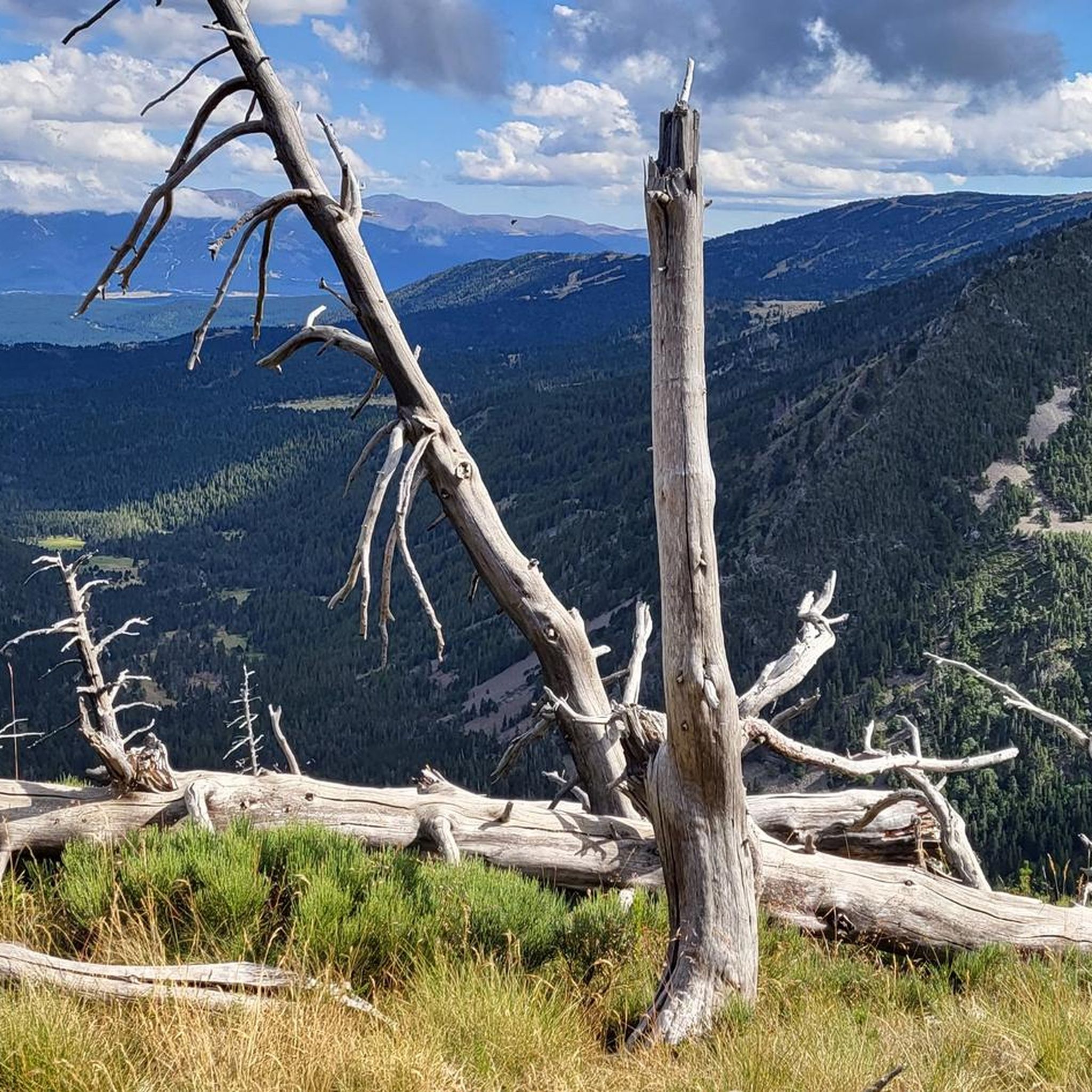
It is a simply spectacular port that unites the regions of Conflent and Capcir. It is one of the most beautiful ports in the easternmost Pyrenees. It is very close to the Col de la Llosa, and you can take a circular route that is known as the "Route des Cols". It is also indicated on nearby road signs. The hardest slope is the one that begins in Olette (Conflent) and goes up through Aiguatèbia. There are almost 22 km of ascent and 1,089 meters of elevation gain. It has 3 very different zones: (1) the first is a constant 5 km at 7%; (2) the second is 10 km at 4% and with some very pleasant rest areas, with beautiful views; (3) The final part is 6 km on average at 7%, since it passes the town of Railleu, although the hard part is the last 3 km, with several ramps that exceed 10%. The road is narrow and has uneven asphalt, with hardly any cars and motorcycles. For me, the final part of this port is truly spectacular and should not be missed. The west slope begins in the town of Matamala (Capcir) and is 3 km with an average of close to 8%. It is a long irregular stretch along a narrow and very quiet road, with panoramic views of the valley when the thick black pine forest gives some opportunity.
0
0

A little disappointing: the pass is in the middle of the forest and offers no view. The climb from (and to!) Railleu is nevertheless superb. A nice picnic area to have a bite to eat.
1
0

One of the best experiences on my entire tour. I have this picture with the view of the mountains as my screen background. The roads are still closed, the snow is piled up meters high on the sides and at the same time there is not a single car on the road. Simply fantastic
1
0

Here you can barely reach the 2000m altitude. The area is wonderful
0
0
I have visited the Col de Pailhères on several occasions and in all seasons of the year. In summer it is very common to find cows, horses and sheep at the top. It is an enigmatic and wonderful port. It is very hard on both sides since it has many kilometers with a slope greater than 10%. It is one of my Top-10 in the Pyrenees. I leave you the link with its altimetry prepared by @cyclingcols --> http://www.cyclingcols.com/col/Pailheres
0
0

if you have the legs go up to sansa before
1
0
Frequently Asked Questions
What types of mountain passes can I find around Fontrabiouse?
The region around Fontrabiouse offers a diverse range of mountain passes. You'll find challenging, high-altitude passes like Pailhères Pass, known for its demanding climbs and spectacular vistas. There are also high-mountain passages ideal for trekking, such as Coma d'Anyell Pass, and more scenic, quieter routes like Col de la Creu, which offers fantastic views of the Canigó.
Which mountain passes are best for experienced cyclists seeking a challenge?
For experienced cyclists, Pailhères Pass is a must-visit. It's an iconic Pyrenean pass, often featured in the Tour de France, culminating at 2,001 meters. The climb from Mijanès is particularly challenging, spanning 10.6 kilometers with an average gradient of 8.2% and sections over 10%. Alternatively, the ascent from Ax-les-Thermes covers 18.6 kilometers with an average gradient of 6.9%.
Are there any mountain passes around Fontrabiouse with historical significance?
Yes, Coma d'Anyell Pass, situated at 2,470 meters, holds historical importance. It once served as a border between the kingdoms of France and Spain. Today, it's a key point for major hiking routes like the Haute Route des Pyrénées (HRP) and the Hexatrek.
Which mountain pass offers the best panoramic views?
Col de la Creu, while not the highest, offers fantastic panoramic views, including the majestic Canigó in the background. It's particularly valued for its scenic beauty and accessibility, providing a beautiful passage on the plateau of La Perxa.
What kind of natural features can I expect to see on these mountain passes?
The mountain passes around Fontrabiouse offer stunning natural beauty. You'll encounter high-alpine landscapes, dense forests, and open plateaus. From Pailhères Pass, you can enjoy spectacular mountain vistas. Col de la Creu provides views of the iconic Canigó. In summer, it's common to see cows, horses, and sheep grazing at higher altitudes.
Are there any quieter, more secluded mountain passes for those seeking solitude?
For those seeking solitude, Col de Juell is an excellent choice. This smaller pass at 1,500 meters is known for its quiet and serene atmosphere. It's located on a municipal road that is less frequented, contributing to its secluded feel and making it ideal for escaping crowds.
What outdoor activities can I do near the mountain passes around Fontrabiouse?
The area around Fontrabiouse offers a wealth of outdoor activities. You can explore numerous cycling routes, from challenging climbs to scenic loops, or embark on various hiking trails, including moderate and difficult options through diverse landscapes. Mountain biking trails are also available for those seeking off-road adventures. For more details on routes, visit our guides on Cycling around Fontrabiouse, Hiking around Fontrabiouse, and MTB Trails around Fontrabiouse.
What is the best time of year to visit the mountain passes in this region?
The best time to visit the mountain passes around Fontrabiouse is generally during the warmer months, from late spring to early autumn (May to October). During this period, the passes are typically free of snow, offering optimal conditions for cycling, hiking, and enjoying the panoramic views. Some higher passes, like Pailhères, can still have snow well into spring. Always check local conditions before planning your trip, especially for high-altitude routes.
Are there family-friendly options or easy routes among the mountain passes?
While many passes offer challenging terrain, some areas provide more accessible options. For example, the Col de la Creu area features a nice picnic spot and can be part of a scenic drive or a less strenuous walk, depending on the chosen route. For specific family-friendly hiking or cycling routes, it's best to consult our dedicated guides for the region, which detail difficulty levels.
What do visitors appreciate most about the mountain passes around Fontrabiouse?
Visitors frequently praise the stunning natural beauty, the challenging climbs for cyclists, and the rewarding panoramic views. The high-altitude passes are particularly appreciated for their wild, untamed feel and the sense of accomplishment they offer. Many also enjoy the quiet, serene atmosphere of less-trafficked passes, providing a true escape into nature. The presence of local wildlife, such as cows, horses, and sheep, also adds to the charm.
Can I find amenities like cafes or accommodation near these mountain passes?
While the passes themselves are often remote, you can find amenities in nearby villages and towns. Fontrabiouse itself is a charming mountain village, and other towns in the region will offer cafes, restaurants, and accommodation options. It's advisable to plan your stops in advance, especially when venturing into higher, more secluded areas where services are limited.
Most popular routes around Fontrabiouse
Most popular attractions around Fontrabiouse

Get inspired with the komoot mobile app


Explore more
See even more epic mountain passes by checking out these guides around Fontrabiouse:
