The best gravel rides around Fontrabiouse
4.4
(17)
270
riders
21
rides
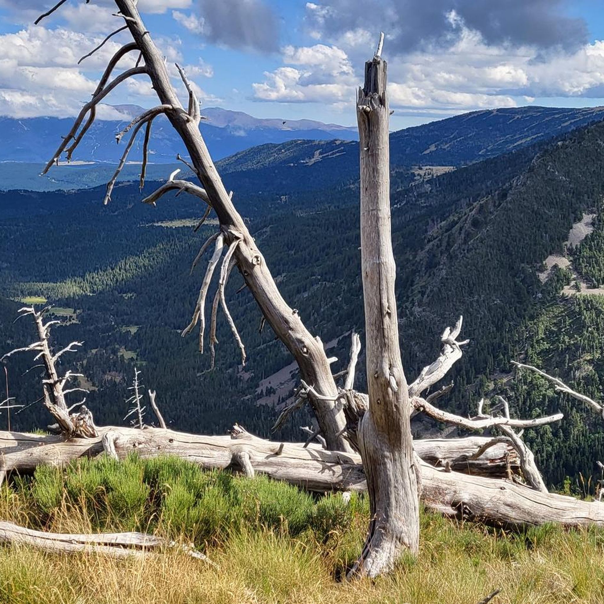
Gravel biking around Fontrabiouse offers routes through the Pyrenean landscape, characterized by varied elevations and natural features. The region features high-altitude lakes, mountain passes, and forested sections, providing diverse terrain for gravel cyclists. Routes often traverse open areas with views of the surrounding peaks and valleys. The area's trails combine forest roads, gravel paths, and some paved sections, suitable for gravel bikes.
Best gravel bike trails around Fontrabiouse
- The most popular gravel bike trail is Col de la Creu –…
Last updated: October 6, 2026
4.0
(3)
50
riders
55.5km
04:23
1,030m
1,030m
Hard gravel ride. Very good fitness required. Mostly paved surfaces. Suitable for all skill levels.
5.0
(4)
34
riders
32.7km
02:13
340m
340m
Moderate gravel ride. Good fitness required. Mostly paved surfaces. Suitable for all skill levels.

4.0
(2)
47
riders
16.4km
01:03
150m
150m
Moderate gravel ride. Good fitness required. Mostly paved surfaces. Suitable for all skill levels.
13
riders
37.2km
03:42
1,150m
1,160m
Hard gravel ride. Very good fitness required. Mostly paved surfaces. Suitable for all skill levels.
13
riders
56.9km
03:58
1,210m
1,210m
Hard gravel ride. Very good fitness required. Mostly paved surfaces. Suitable for all skill levels.
Get access to more routes and recommendations from other explorers.
Already have an account?
Our route recommendations are based on thousands of hikes, rides, and runs completed by other people on komoot.
Start today with a free account
Your next adventure awaits.

Tips from the Community

The Matemale lake is located in the middle of the Capcir plateau. The color of its waters captures the attention and creates a desire: to get closer and perhaps take a dip. The lake is developed, and a equipped leisure base opens onto its shores. An ideal stopover.
0
0
The Puyvalador dam is 160 meters long and 39 meters high. This concrete structure is used to regulate the waters of the Aude river to produce electricity. From the dam, the view is exceptional.
0
0

It's an ideal spot for a picnic. It's also an ideal place for groups of cyclists supported by vans, as there's plenty of space here to relax and not disturb anyone. The lake is at an elevated point, so accessing it from La Llagonne or Les Angles requires a steep climb, always at a lower gradient.
0
0


Lake Matemale with its beautiful beaches is located at an altitude of 1500 metres and therefore the water is between 19 and 23°.
1
1


A superb view, only available to the most persistent
1
0
Frequently Asked Questions
How many gravel bike trails are available around Fontrabiouse?
There are over 25 gravel bike routes in the Fontrabiouse area, offering a variety of experiences. These range from easier loops to more challenging mountain passes, catering to different skill levels.
Are there any easy or beginner-friendly gravel bike trails in Fontrabiouse?
Yes, Fontrabiouse offers several easier routes. A good option for beginners is the Lake Matemale – Lake Matemale loop from Les Angles, which is a moderate 10.4-mile (16.7 km) path circling Lake Matemale with gentle elevation.
What are some challenging gravel routes in the Fontrabiouse region?
For those seeking a challenge, the Col de la Creu – Lake Matemale loop from Formiguères is a demanding 34.2-mile (55.1 km) trail with significant elevation gain. Another difficult option is the Vallsera Church Ruins – Iglesieta de Vallsserra loop from Les Angles, featuring over 1100 meters of ascent.
What is the best time of year for gravel biking in Fontrabiouse?
The Pyrenean landscape around Fontrabiouse is generally best explored from late spring to early autumn (May to October) when the weather is milder and trails are clear of snow. Always check local conditions before heading out, especially at higher altitudes.
What are the winter conditions like for gravel biking in Fontrabiouse?
During winter months, many higher-altitude trails around Fontrabiouse can be covered in snow or ice, making them unsuitable for gravel biking. Lower elevation routes might be accessible, but conditions can be unpredictable. It's crucial to check local weather and trail reports, and be prepared for cold temperatures and potential snow.
Are there any circular gravel bike routes around Fontrabiouse?
Yes, many of the gravel routes in the area are circular. Examples include the Lake Matemale – Tower of the Creu loop from Puyvalador, which is a 20.3-mile (32.6 km) loop, and the Lake Matemale – Tower of the Creu loop from Les Angles, a 37.1 km option.
What kind of scenery and viewpoints can I expect on the gravel trails?
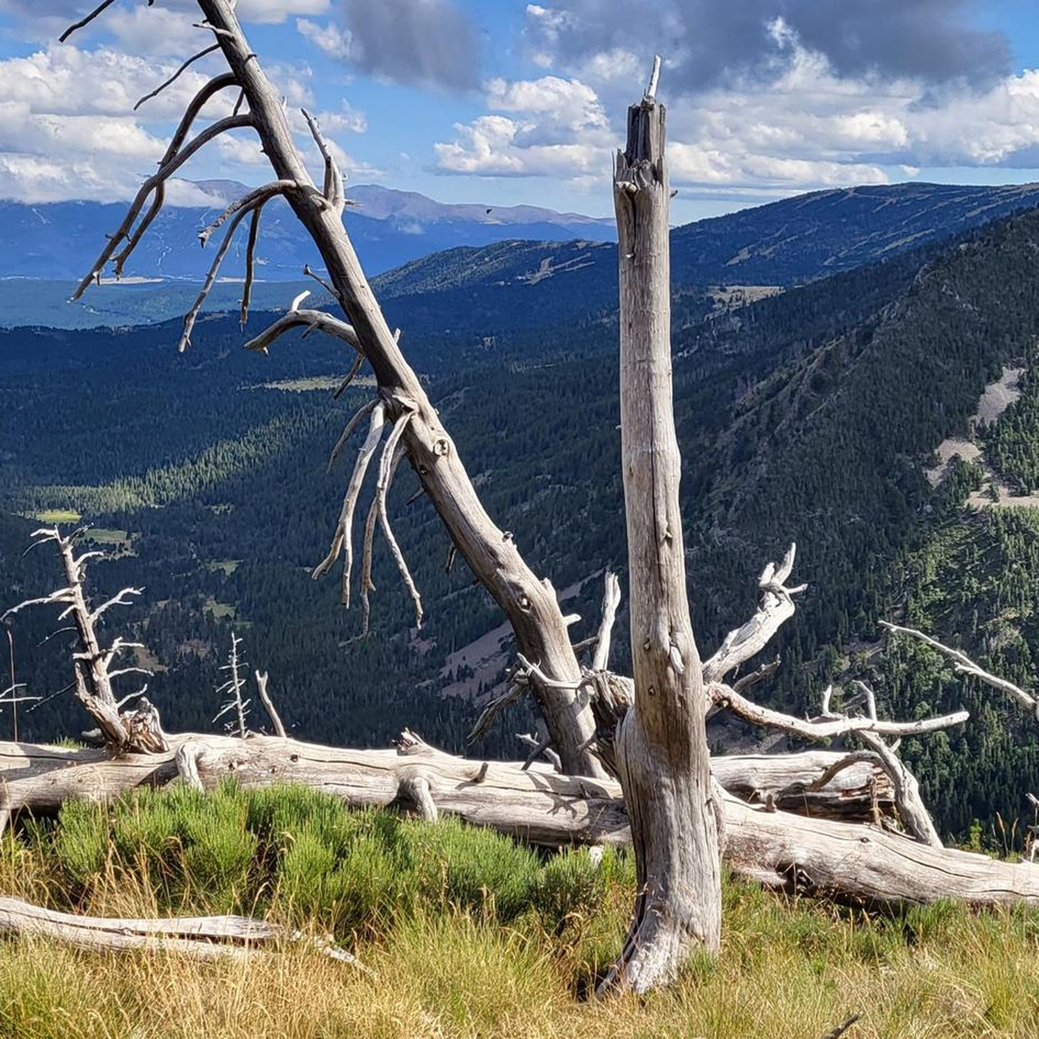
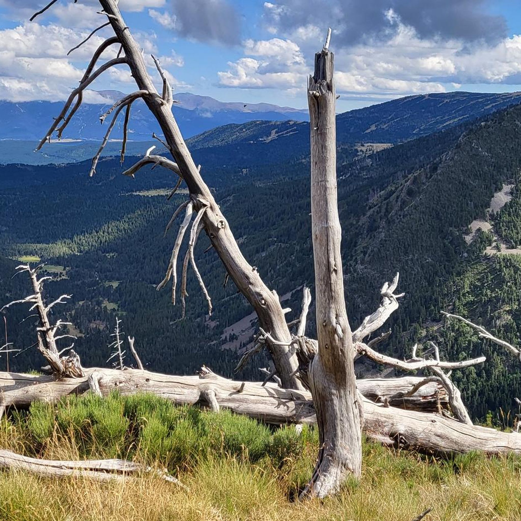
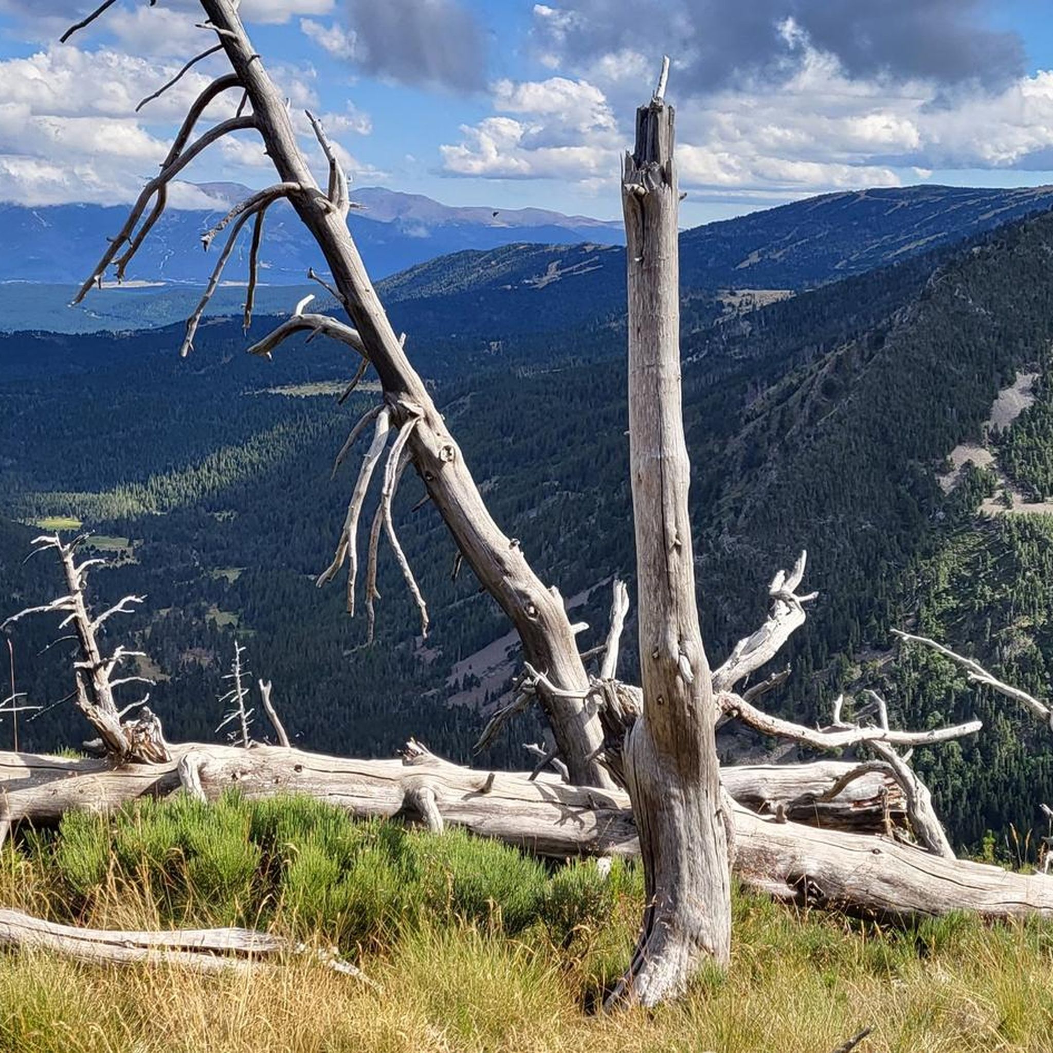
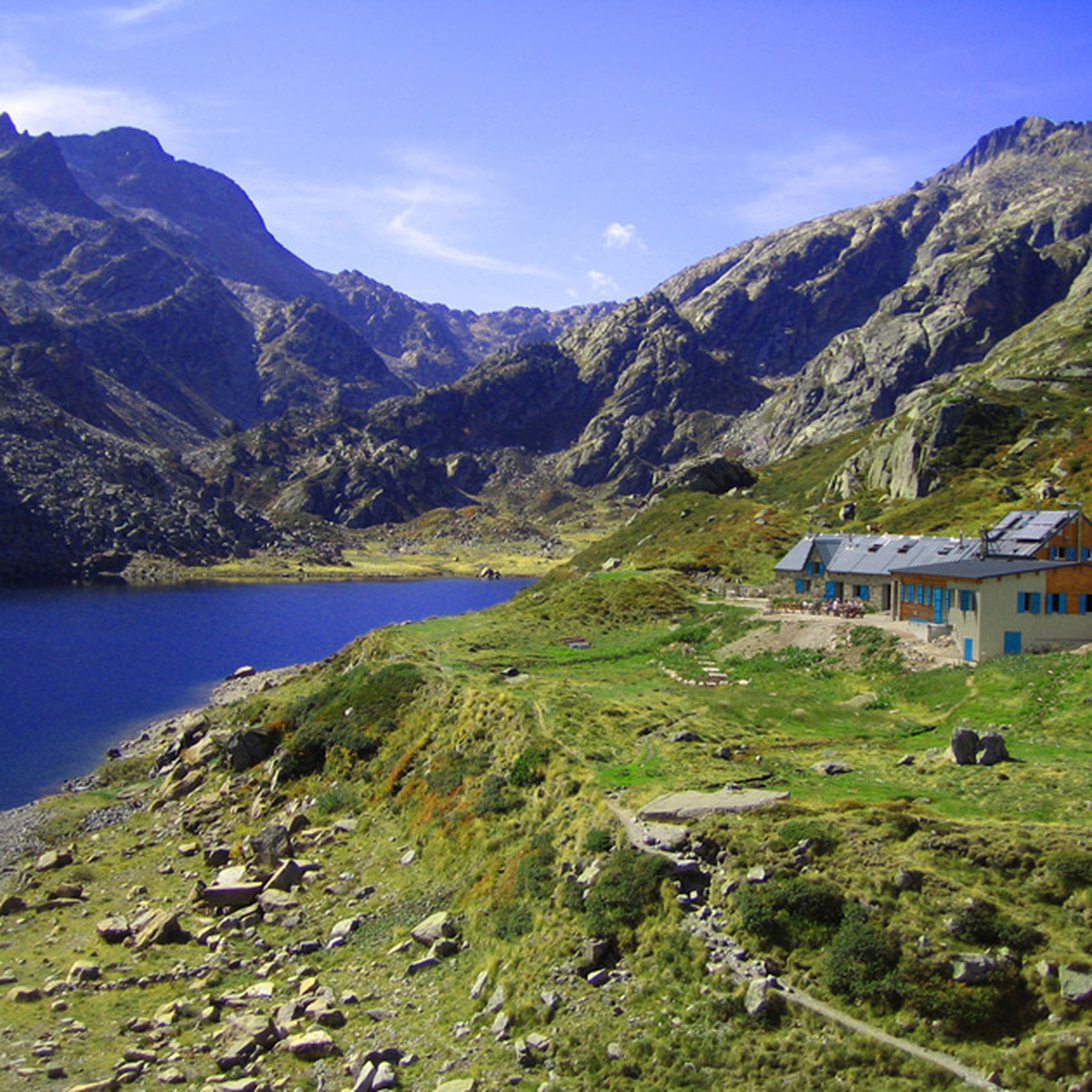
The Fontrabiouse region offers diverse scenery, including high-altitude lakes, mountain passes, and forested sections. You'll find open areas with panoramic views of the surrounding Pyrenean peaks and valleys. Routes often traverse alongside beautiful bodies of water like Lake Matemale and Viver Lake.
What nearby attractions or landmarks can I explore along the gravel bike routes?
Many routes pass by or near notable natural attractions. You can explore various lakes such as Lake Bouillouses, Estany del Castellar, and Lake Aude. Some trails also lead past historic sites or refuges like En Beys Refuge.
What do other gravel bikers enjoy most about the Fontrabiouse trails?
The area is highly rated by the komoot community, with an average score of 4.7 stars. Reviewers often praise the varied terrain, from forest roads to gravel paths, and the stunning views of the Pyrenean landscape, including the high-altitude lakes and mountain passes.
Are there any cafes or places to stop for refreshments along the gravel trails?
While specific cafes directly on every trail are not guaranteed, routes often pass through or near villages and towns like Formiguères, Les Angles, or Puyvalador, where you can find amenities. It's always a good idea to carry sufficient water and snacks, especially on longer or more remote sections.
What should I pack for gravel cycling in Fontrabiouse?
Given the varied terrain and mountain environment, it's advisable to pack layers of clothing suitable for changing weather, including waterproofs. Essential items include a repair kit, plenty of water, snacks, a first-aid kit, and navigation tools. Sun protection is also crucial due to the high altitude.
Is wildlife spotting common on the gravel trails around Fontrabiouse?
The Pyrenean environment is rich in wildlife. While specific sightings are never guaranteed, you might encounter various bird species, marmots, or even chamois, especially in quieter, more remote sections of the trails. Maintaining a respectful distance and quiet observation increases your chances.
Most popular routes around Fontrabiouse
Most popular attractions around Fontrabiouse

Get inspired with the komoot mobile app


Explore more
Browse the best Gravel rides in other regions.
