The best walks and hikes around Fontrabiouse
4.6
(1265)
14,094
hikers
236
hikes
Hiking around Fontrabiouse offers diverse Pyrenean landscapes, characterized by high mountain passes, picturesque lakes, and dense forests. The region provides access to significant passes like the Pailhères Pass, which reaches 2,001 meters, and features water bodies such as Lake Bouillouses and Lake Puyvalador. Trails often traverse shaded forest areas, including the Espousouille forest, and open plains, providing varied terrain and elevation.
Best hiking trails around Fontrabiouse
- The most popular hiking route is Lakes of Camporells – Serra da Mauri (2,412…
Last updated: July 4, 2026
4.8
(20)
133
hikers
13.5km
04:38
710m
710m
Moderate hike. Good fitness required. Easily-accessible paths. Suitable for all skill levels.
4.7
(18)
191
hikers
6.74km
01:48
80m
80m
Easy hike. Great for any fitness level. Easily-accessible paths. Suitable for all skill levels.

Sign up for free
4.0
(16)
141
hikers
11.5km
03:19
280m
280m
Moderate hike. Good fitness required. Easily-accessible paths. Suitable for all skill levels.
4.3
(3)
62
hikers
17.5km
06:04
930m
930m
Hard hike. Very good fitness required. Easily-accessible paths. Suitable for all skill levels.
5.0
(4)
35
hikers
3.03km
01:00
150m
150m
Easy hike. Great for any fitness level. Easily-accessible paths. Suitable for all skill levels.
Get access to more routes and recommendations from other explorers.
Sign up for free
Already have an account?
Our route recommendations are based on thousands of hikes, rides, and runs completed by other people on komoot.
Start today with a free account
Your next adventure awaits.
Login or Signup


Tips from the Community

The Puyvalador dam is 160 meters long and 39 meters high. This concrete structure is used to regulate the waters of the Aude river to produce electricity. From the dam, the view is exceptional.
0
0

On one side, very close to the path, you can enjoy this beautiful waterfall created by the Galbe River as it descends towards Esposouille.
1
0
It is said that water from this small artificial lake was used for the ski slope when it was still in operation. In winter, it usually freezes, creating a beautiful scene with the surrounding snow-covered trees. Swimming is not allowed.
1
0
From this point at Puyvalador station, the Rhododendron trail begins, perfect for enjoying a walk through the forest as you gain altitude. Further up, you reach a small artificial lake, and if desired, you can continue along the trails to higher elevations. It's easy to find parking very close to the starting point.
1
0

Dominated by the peaks of the Pérics, this beautiful lake lies in the middle of a vast hanging cirque, the former bed of a glacier.
0
0

Perfect for picnicking in the shade of the trees. Swimming prohibited due to pollution (sunscreen)
0
0
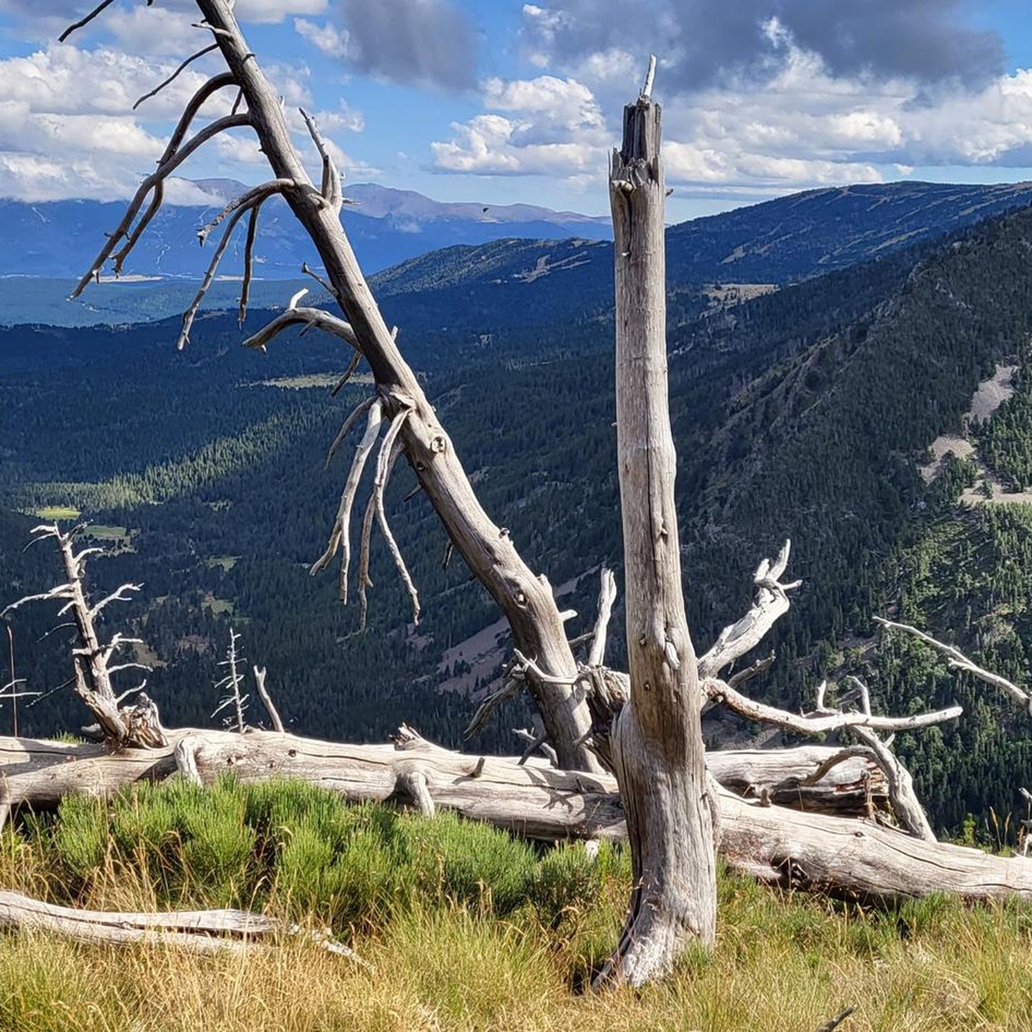
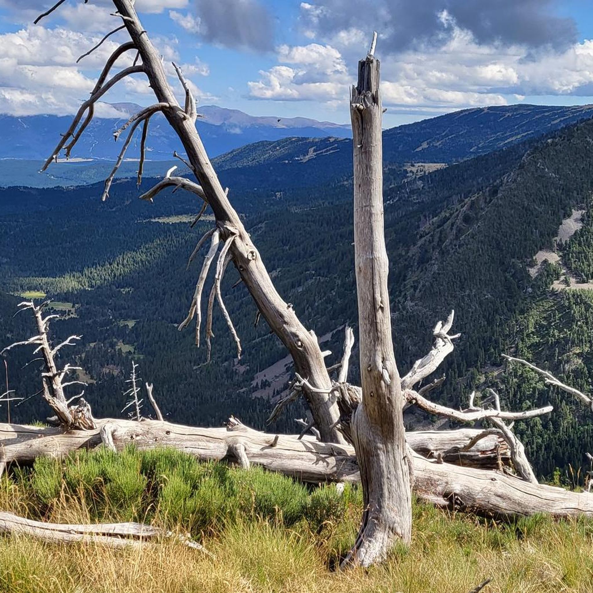
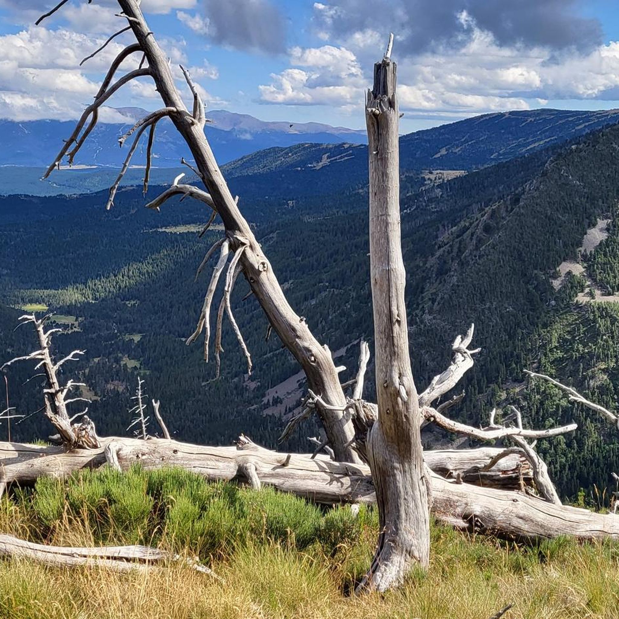
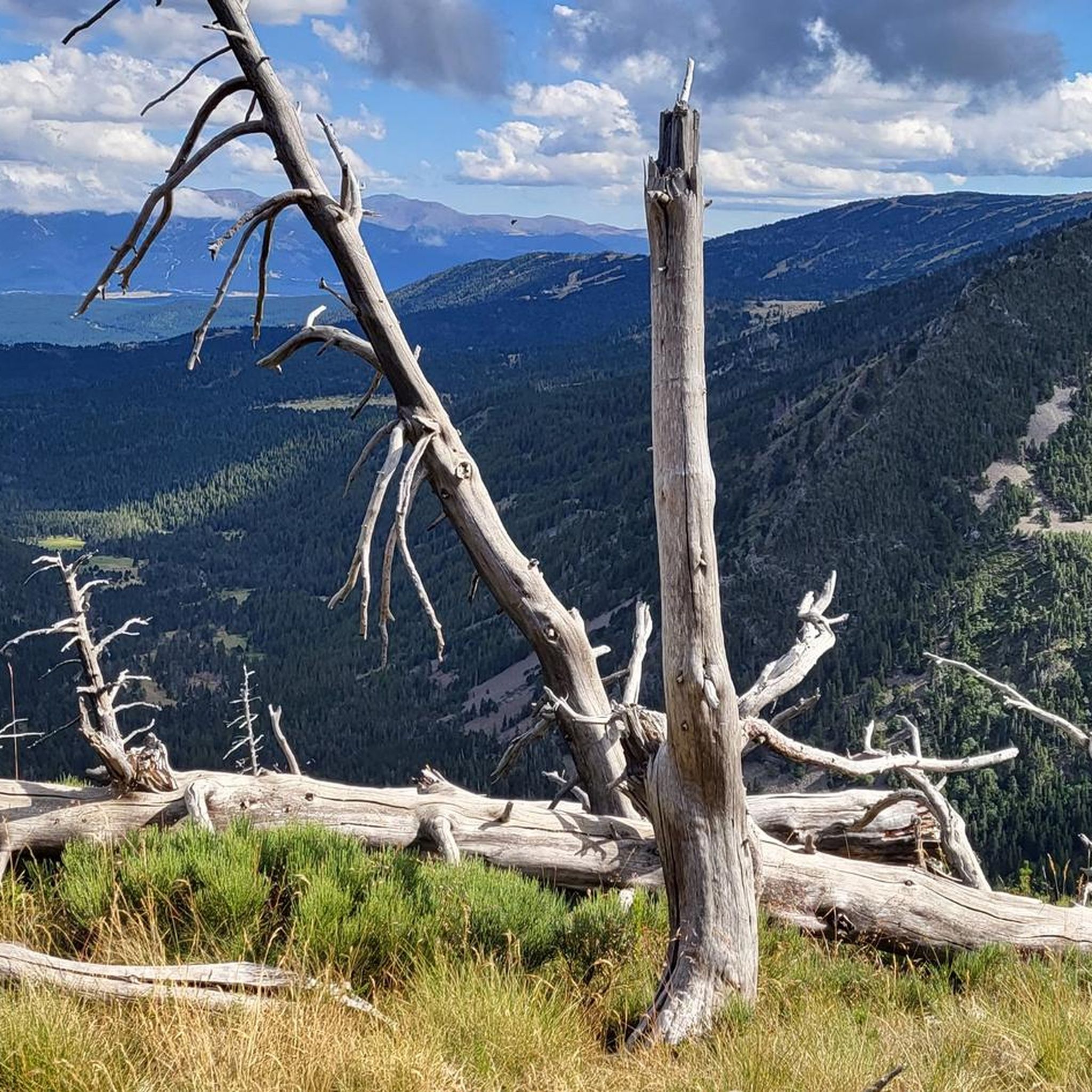
Beautiful spot with a view of the valley and the possibility of taking a framed photo. A second spot a few meters higher is also possible.
0
0
Frequently Asked Questions
How many hiking trails are there in Fontrabiouse?
There are over 230 hiking routes around Fontrabiouse, offering a wide range of options from easy strolls to challenging mountain treks. The komoot community has extensively explored these trails, with more than 8000 hikers using komoot to navigate the diverse terrain.
What kind of terrain can I expect on hikes around Fontrabiouse?
Hikes around Fontrabiouse feature diverse Pyrenean landscapes, including high mountain passes, picturesque lakes, and dense forests. You'll find trails traversing shaded forest areas, such as the Espousouille forest, and open plains. The region is characterized by impressive mountains, providing varied terrain and elevation suitable for different fitness levels.
What do other hikers enjoy the most about hiking in Fontrabiouse?
The hiking routes in Fontrabiouse are highly rated by the komoot community, with an average score of 4.6 stars from over 1200 reviews. Hikers frequently praise the stunning mountain landscapes, the tranquility of the lakes, and the well-maintained paths that lead through varied scenery, from forests to high-altitude passes.
Are there easy hiking options suitable for beginners or families?
Yes, Fontrabiouse offers many easy hiking options. For instance, the Puyvalador Dam loop from Puyvalador is an easy 4.2-mile (6.7 km) path offering scenic views around the dam. The region also features specific Joelette hiking loops, making outdoor exploration accessible for families and those with limited mobility.
Can I find challenging hikes in the Fontrabiouse area?
Absolutely. For those seeking a challenge, there are 58 difficult routes available. A demanding option is the Lakes of Camporells – Serra da Mauri (2,412 m) loop from Formiguères, a 21.9 km (13.6 miles) route with significant elevation gain, leading through high mountain terrain.
Are there circular hiking routes available?
Yes, many of the trails around Fontrabiouse are circular, allowing you to start and end at the same point. A popular moderate circular route is the Lakes of Camporells – Serra da Mauri (2,412 m) loop from Capcir, which is 13.7 km (8.5 miles) long and takes approximately 4 hours 40 minutes to complete.
What natural features or landmarks can I discover while hiking near Fontrabiouse?
The region is rich in natural beauty. You can explore stunning mountain landscapes, beautiful lakes like Lac du Bouillouses and Lac des Bouillouses, and dramatic gorges such as the Gorges de la Pierre-Lys. Iconic Mount Canigou dominates the landscape, and you can also visit the unique Pailhères Pass or discover the Pic de Tarbesou.
Are there any hikes that feature waterfalls?
Yes, you can enjoy hikes that lead to beautiful waterfalls. The Cascade du Galbe loop from Fontrabiouse is a 11.5 km (7.1 miles) trail that takes you through forests and varied scenery, often completed in about 3 hours 19 minutes, with the waterfall as a highlight.
Where can I find mountain refuges or huts along the trails?
Several mountain refuges and huts are available for hikers in the Fontrabiouse area. Notable options include the Bouillouses Refuge, En Beys Refuge, and the Camporells Refuge. These provide excellent resting points or overnight stays on longer treks.
Are Fontrabiouse's hiking trails dog-friendly?
Many trails in the Fontrabiouse area are dog-friendly, allowing you to enjoy the Pyrenean landscapes with your canine companion. However, it's always advisable to check specific trail regulations, especially within nature reserves, and to keep dogs on a leash to protect local wildlife and livestock.
What is the best time of year to go hiking in Fontrabiouse?
The best time to visit Fontrabiouse for hiking is typically from spring through autumn. Many trails become accessible as early as March due to the moderate altitude, offering pleasant temperatures and fewer crowds. Spring brings vibrant flora, while autumn showcases stunning fall colors. Summer is also popular, but can be busier.
Are there any cultural or historical sites to explore near the hiking routes?
Beyond the natural wonders, Fontrabiouse is conveniently located near several historical sites. The fortified town of Mont-Louis, a UNESCO World Heritage site, is just 14 km away, and Villefranche-de-Conflent, another site featuring Vauban fortifications, is 22 km away. The Fontrabiouse Cave itself offers guided tours through impressive underground formations.
Most popular routes around Fontrabiouse
Most popular attractions around Fontrabiouse

Get inspired with the komoot mobile app


Explore more
Browse the best Hikes in other regions.
