Top 11 Mountain Passes around Laveissière
Mountain passes around Laveissière are situated within the Parc naturel régional des Volcans d'Auvergne in France's Cantal massif. These geographical features offer access to the Massif Central's mountain terrain. The area provides opportunities for hiking and various outdoor activities.
Best mountain passes around Laveissière
- The most popular mountain pass is Pas de Peyrol Pass (1,589 m), a mountain pass that is the highest road pass in the Massif Central. It serves as the primary access point to Puy Mary. …
Last updated: May 14, 2026
Pas de Peyrol Pass (1,589 m)
Highlight • Mountain Pass
Translated by Google •
Tip by

Roland's Breach
Highlight • Mountain Pass
Its name was given to it in reference to the breach of the same …
Translated by Google •
Tip by

Sign up now to discover places like this
Get recommendations on the best single tracks, peaks, & plenty of other exciting outdoor places.
Sign up for free
Cabre Pass
Highlight • Mountain Pass
Translated by Google •
Tip by

Pertus Pass
Highlight (Segment) • Mountain Pass
Translated by Google •
Tip by

Redondet Pass
Highlight • Mountain Pass
Translated by Google •
Tip by

Sign up for free to discover even more mountain passes around Laveissière.
Sign up for free
Already have an account?
Start today with a free account
Your next adventure awaits.
Login or Signup
Popular around Laveissière
GR 4 – Crossing the south of France from Atlantic Coast to Provence
Crossing the volcanoes of Auvergne – Stromboliens, peléens and maars
Hiking around Laveissière
Cycling around Laveissière
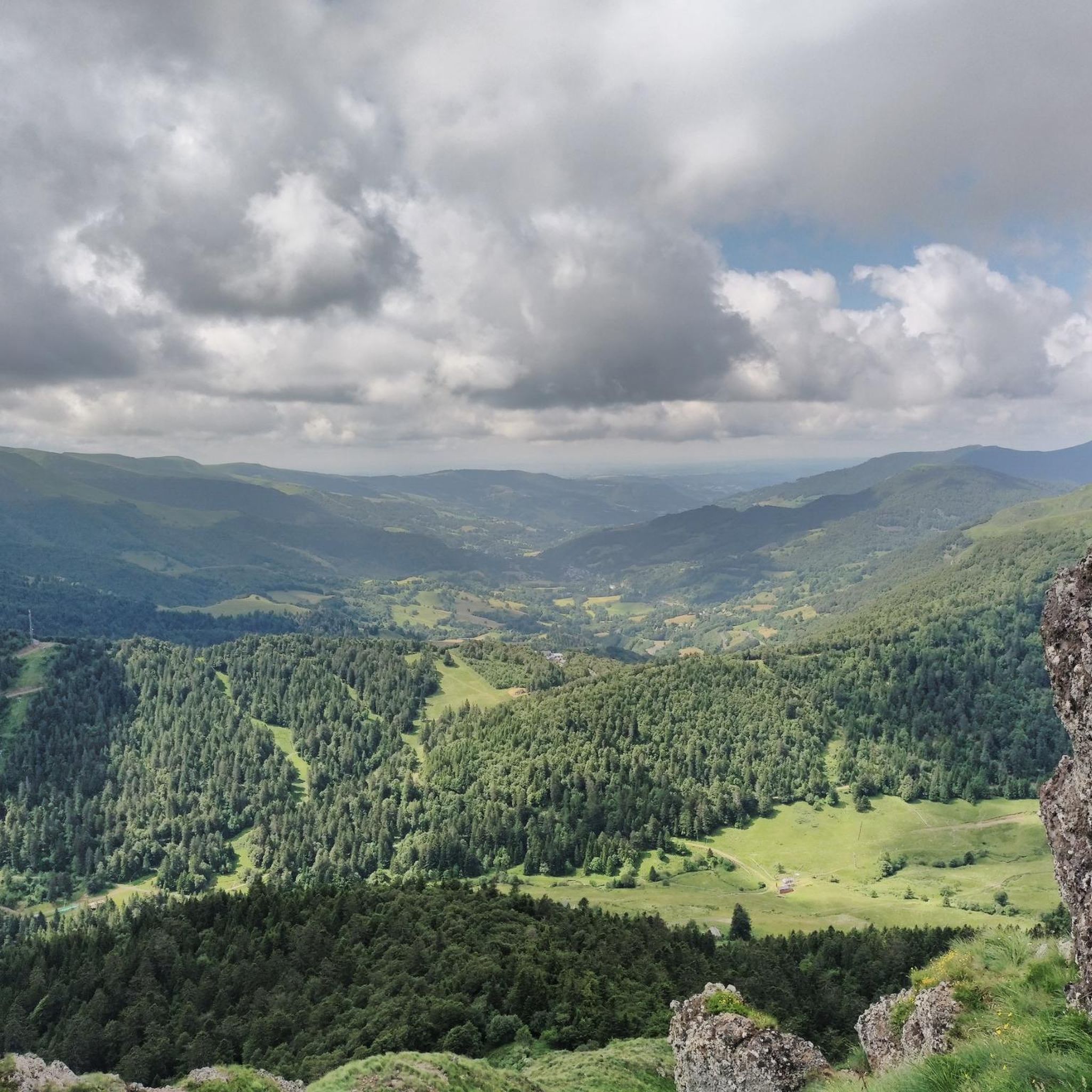
Running Trails around Laveissière
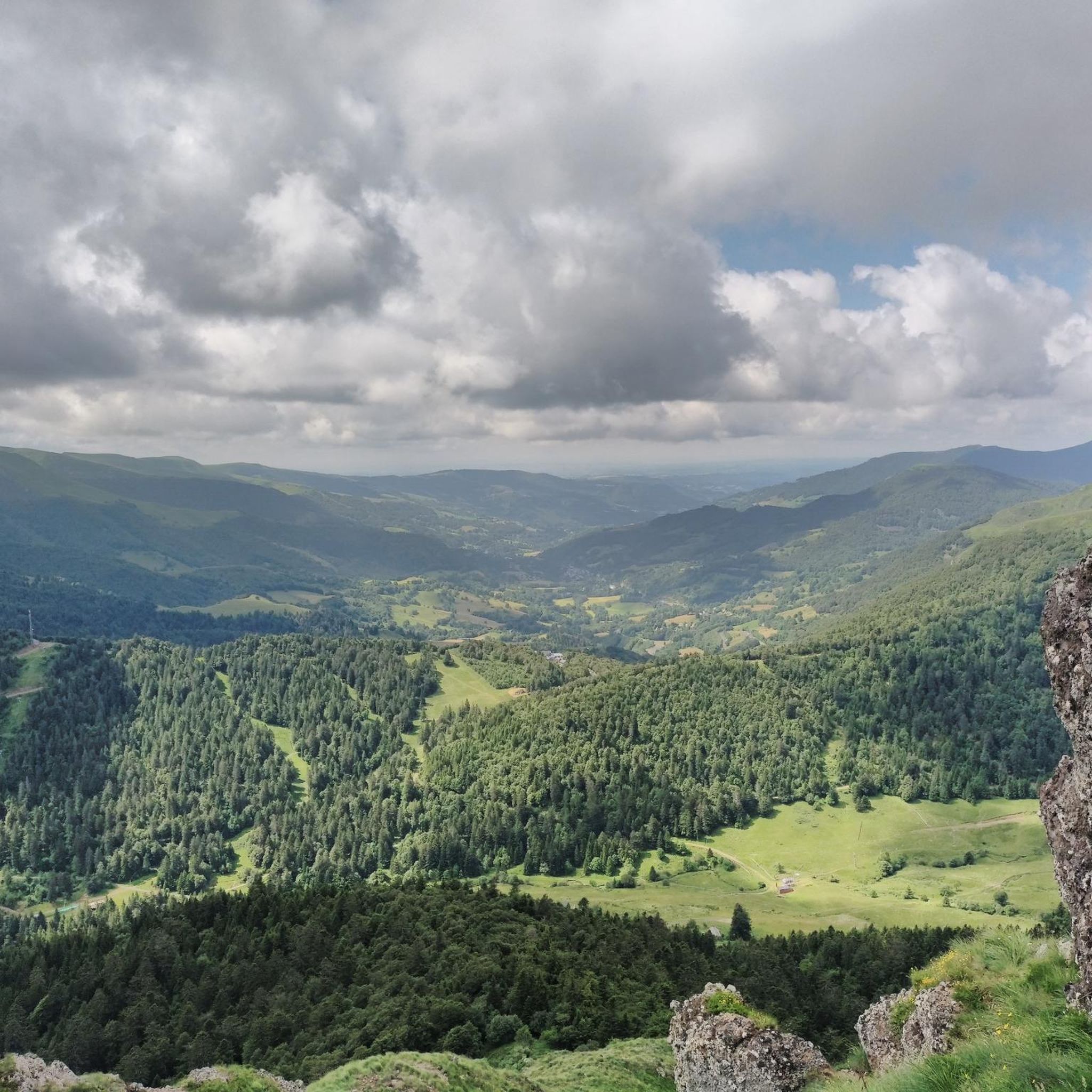
Road Cycling Routes around Laveissière
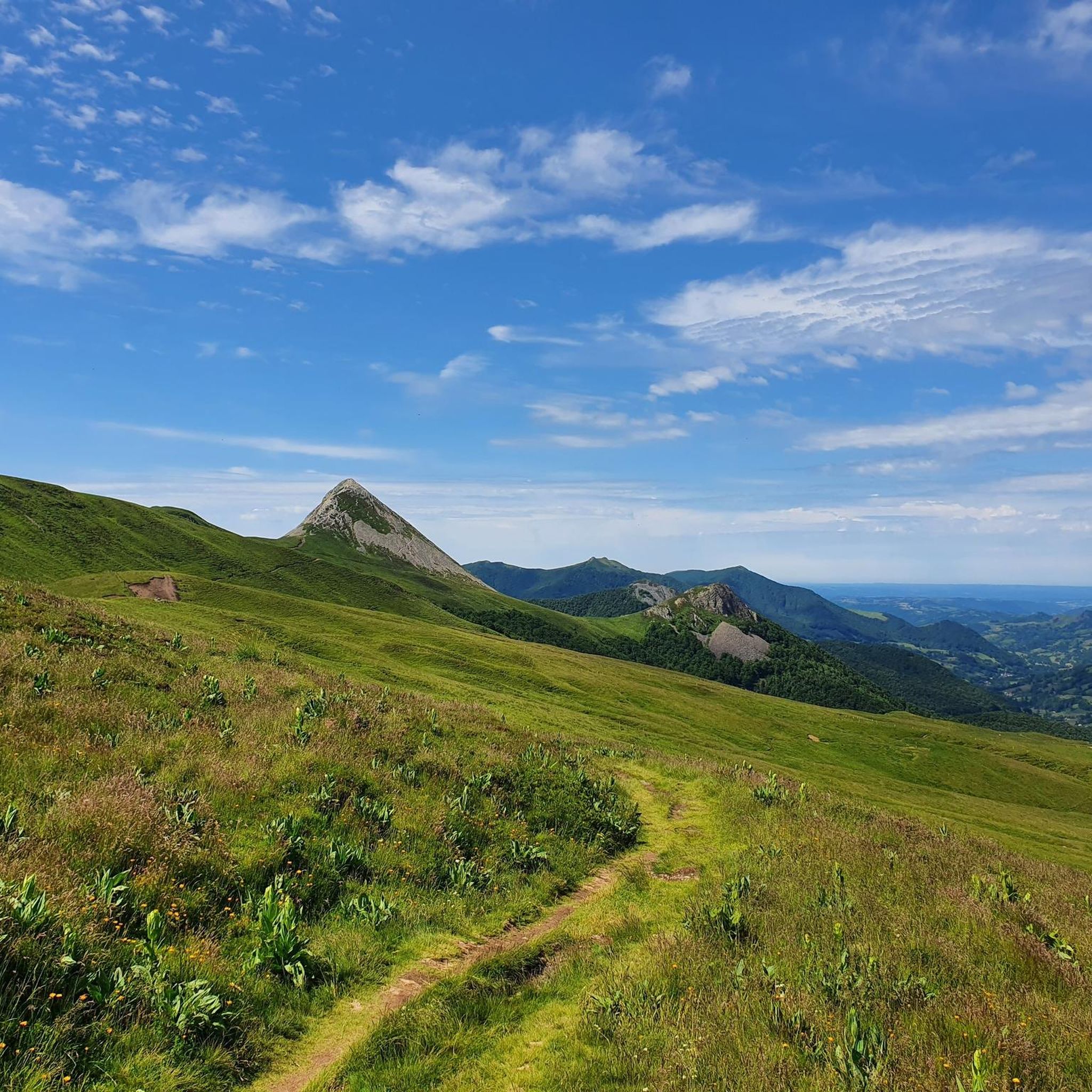
MTB Trails around Laveissière
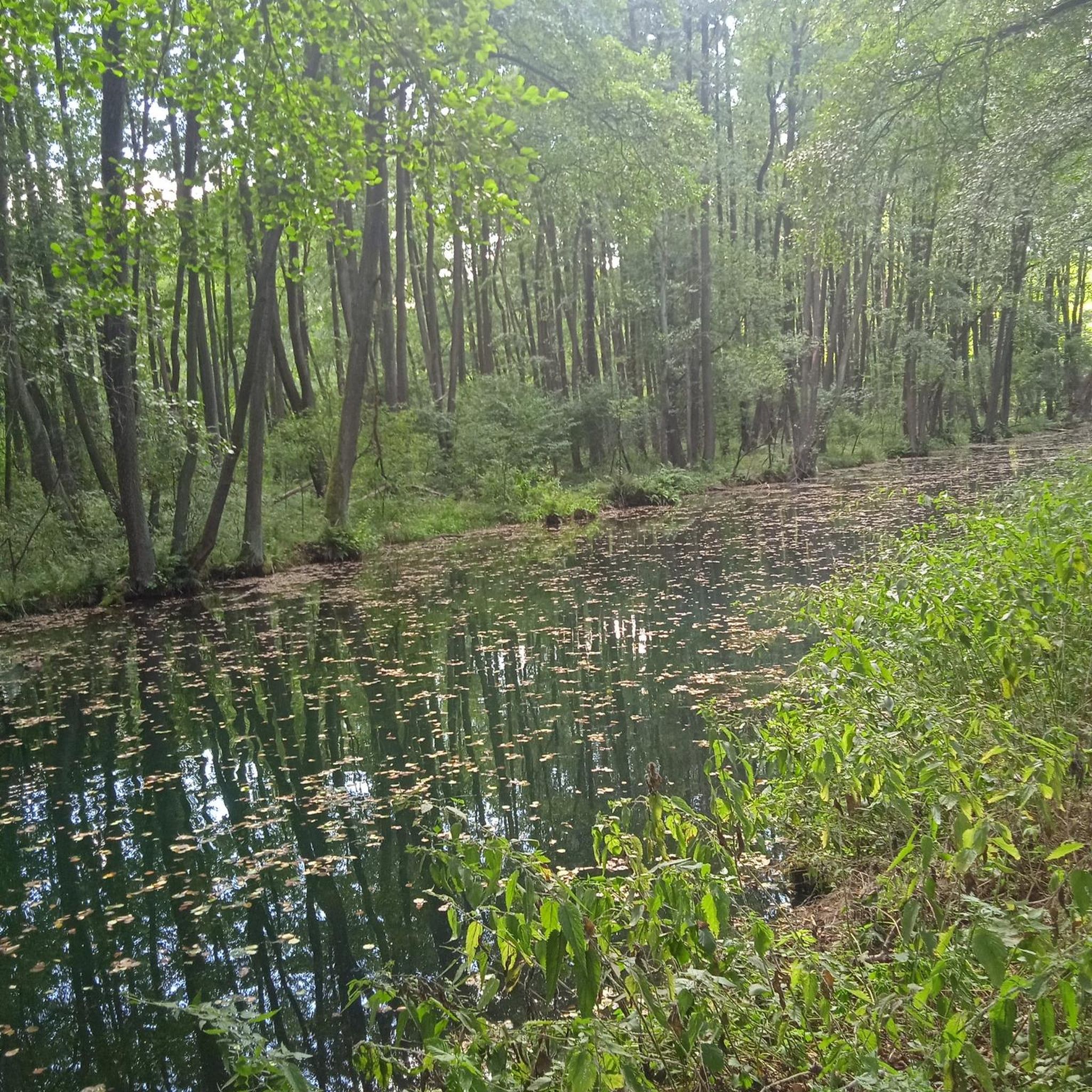
Gravel biking around Laveissière
Mountain Hikes around Laveissière


Tips from the Community

Superb and eating at the buron moved
0
0

The Rolland Breach was mildly challenging for this 72yo when dry. Descending in the wet would need good grippy footwear. There is an alternative GR400 track bypass
0
0

At an altitude of 1,588 meters, the Pas de Peyrol is located between the Puy Mary and the Puy de la Tourte. It is known to be the highest road pass in the Massif Central and is worth it, because the last few kilometers have high percentages. There you can admire Puy Mary which peaks at an altitude of 1,783 metres. It is one of the peaks of the Cantal mountains. It is easily recognizable with its pyramidal silhouette.
1
0
A bit of an uphill climb but worth the effort
0
0

This spot in the mountains is known as "Breche de ROLAND". However, the origin of the name does not fit into the Auvergne Rhône Alpes region, but must be located in the very west of the country, on the border region between France and Spain. There, in the north of the Pyrenees Mountains, is the home of the legend of Roland as a brave fighter against the Saracens (who had occupied large parts of the Iberian Peninsula) in the service of Emperor Charlemagne.
4
1

The Brèche de Roland is located on the long ridge that connects Puy Mary to Peyre-Arse. Its name was given to it in reference to the breach of the same name in the Pyrenees. This breach located at an altitude of 1,647 meters is a delicate passage of the GR 4. Made up of alternating ash beds and scoriaceous strata, it can become slippery in rainy weather.
1
3

The Col de Cabre at an altitude of 1,526 meters allows you to pass from the Santoire valley to that of the Jordanne. It offers magnificent views of these valleys. It is also crossed by the GR 4 and 400 (Tour of the Cantal mountains) from Puy Bataillouse to Puy de Peyre-Arse.
1
0
The Col de Cabre at an altitude of 1,526 m allows you to pass from the Santoire valley to that of the Jordanne and therefore offers magnificent views of these valleys. It is also crossed by the GR400 (Tour des Monts du Cantal) from Puy Bataillouse to Puy de Peyre Arse.
0
0
Frequently Asked Questions
What are some of the most popular mountain passes around Laveissière?
Among the most popular mountain passes in the region is Pas de Peyrol Pass (1,589 m), known as the highest road pass in the Massif Central and a primary access point to Puy Mary. Other highly regarded passes include Roland's Breach, a natural monument and a delicate passage of the GR 4, and Cabre Pass, which offers magnificent views between the Santoire and Jordanne valleys.
Which mountain pass is the highest road pass in the Massif Central?
The Pas de Peyrol Pass (1,589 m) holds the distinction of being the highest road pass in the Massif Central. It's a challenging climb, often featured in the Tour de France, and provides access to the iconic Puy Mary.
Are there any mountain passes around Laveissière that are part of long-distance hiking trails?
Yes, several passes are integrated into long-distance hiking trails. For instance, the Col de Font de Cère is a significant passage for hikers, forming part of the GR 4 and GR 400 trails. Similarly, the Col de Rombière is a crossroads for routes like the Via Celtica, Via Arvernha (part of the Camino de Santiago), GR 4, and GR 400 (Tour des Monts du Cantal). Cabre Pass is also crossed by sections of the GR 4 and GR 400.
What kind of views can I expect from the mountain passes in the Cantal mountains?
The mountain passes offer breathtaking panoramic views of the Auvergne landscape. From the Pas de Peyrol Pass (1,589 m), you can access Puy Mary for a spectacular 360-degree view, potentially seeing Mont Blanc on clear days. Cabre Pass provides expansive views of the Santoire and Jordanne valleys, while Col de Redondet offers a magnificent panorama of the Cirque du Falgoux and Puy Mary.
What outdoor activities can I do near the mountain passes around Laveissière?
The area around Laveissière's mountain passes is a hub for diverse outdoor activities. You can enjoy walking, cycle touring, mountain biking, horse riding, and paragliding. In winter, areas like Pas de Peyrol transform into cross-country skiing and snowshoeing destinations. For specific routes, you can explore running trails, MTB trails, and road cycling routes in the region.
Are there any family-friendly mountain passes or activities suitable for families?
Yes, the Pas de Peyrol Pass (1,589 m) is considered family-friendly. From the pass, a landscaped path leads to the summit of Puy Mary in about forty minutes, which can be a rewarding family hike. The area around the passes generally offers opportunities for walking and enjoying nature suitable for various ages.
What is the historical significance of the mountain passes near Laveissière?
Many passes have historical importance. For example, the Col de Font de Cère was historically a crucial, though often challenging, route connecting the Alagnon and Cère valleys before the construction of the Lioran tunnel. The Col de Rombière is a crossroads for several historic hiking routes, including parts of the Camino de Santiago. The region's volcanic history is also highlighted, with the Site House at Pas de Peyrol offering insights through an audiovisual show.
When is the best time to visit the mountain passes around Laveissière?
The best time to visit depends on your desired activities. For hiking and cycling, late spring to early autumn (May to October) is ideal, when the passes are generally clear of snow and the Site House at Pas de Peyrol is open. In winter, the passes transform into areas for cross-country skiing and snowshoeing, with access to winter sports via chairlifts at locations like Le Lioran station for Col de Rombière.
Can I see wildlife near the mountain passes?
Yes, the region is rich in wildlife. The Cabre Pass, for instance, is an excellent spot for observing local wildlife, including deer, chamois, and mouflon, particularly during the deer rutting season in late September.
What are some challenging routes for experienced hikers or cyclists?
For experienced hikers, the GR 4 and GR 400 trails, which traverse passes like Col de Font de Cère and Col de Rombière, offer challenging sections. The ascent to Pas de Peyrol Pass (1,589 m) is known for its high percentages, especially the last few kilometers, making it a demanding climb for cyclists. Roland's Breach is also described as a delicate passage of the GR 4, which can be slippery in rainy weather.
Is there a mountain pass that connects the Jordanne and Cère valleys?
Yes, the Pertus Pass connects the Jordanne and Cère valleys on the Puy Mary side. While it offers beautiful scenery, be aware that the ascent can be very irregular and challenging, with steep sections, especially if carrying luggage.
What makes Roland's Breach unique among the passes?
Roland's Breach is unique as a natural monument, a striking geological feature located on the long ridge connecting Puy Mary to Peyre-Arse. It's a delicate passage of the GR 4, made up of alternating ash beds and scoriaceous strata, which can become slippery in wet conditions.
Most popular routes around Laveissière
Most popular attractions around Laveissière

Get inspired with the komoot mobile app


Explore more
See even more epic mountain passes by checking out these guides around Laveissière:
