The best mountain hikes around Laveissière
5.0
(7)
15
hikers
4
hikes
Mountaineering routes around Laveissière are set within the ancient Cantal stratovolcano, one of Europe's largest, offering rugged and varied terrain. The region features prominent volcanic peaks like Plomb du Cantal and Puy Griou, providing significant elevation changes. Deep Alagnon Gorges, carved by the Alagnon River, and extensive forests, including the Le Lioran departmental forest, characterize the landscape. This environment supports challenging long-distance routes with substantial elevation gains.
Best mountaineering routes around Laveissière
- The most popular mountaineering route is Plomb du…
Last updated: May 18, 2026
5.0
(3)
4
hikers
20.8km
07:42
1,030m
1,030m
Hard mountaineering route. Very good fitness required. Sure-footedness, sturdy shoes and alpine experience required.
5.0
(1)
5
hikers
11.5km
04:43
690m
690m
Hard mountaineering route. Good fitness required. Sure-footedness, sturdy shoes and alpine experience required.

Sign up for free
5.0
(1)
3
hikers
6.55km
02:35
370m
370m
Hard mountaineering route. Good fitness required. Sure-footedness, sturdy shoes and alpine experience required.
5.0
(2)
3
hikers
4.03km
01:18
170m
170m
Moderate mountaineering route. Great for any fitness level. Mostly accessible paths. Sure-footedness required.
Our route recommendations are based on thousands of hikes, rides, and runs completed by other people on komoot.
Start today with a free account
Your next adventure awaits.
Login or Signup
Popular around Laveissière
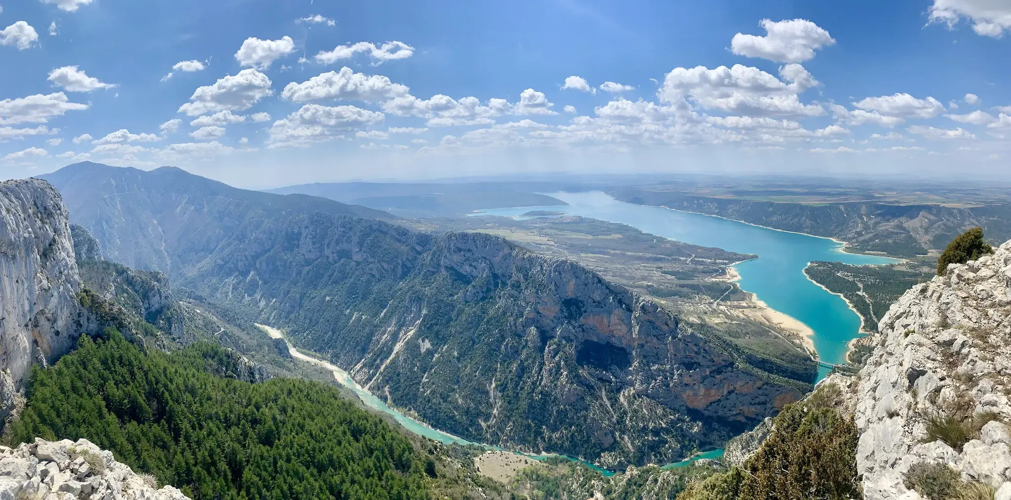
GR 4 – Crossing the south of France from Atlantic Coast to Provence
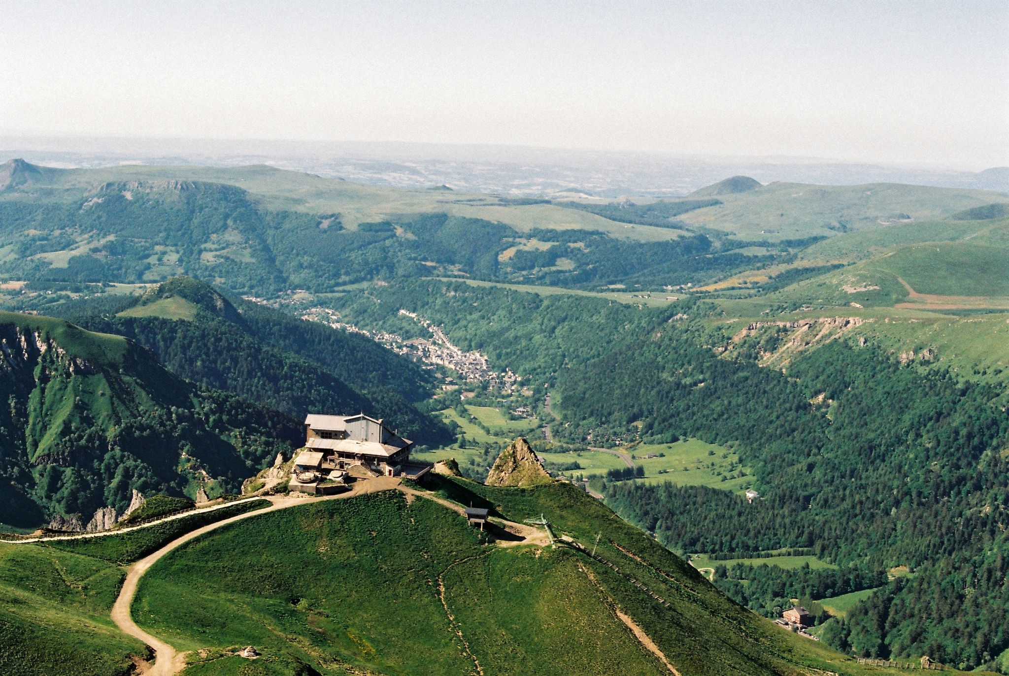
Crossing the volcanoes of Auvergne – Stromboliens, peléens and maars
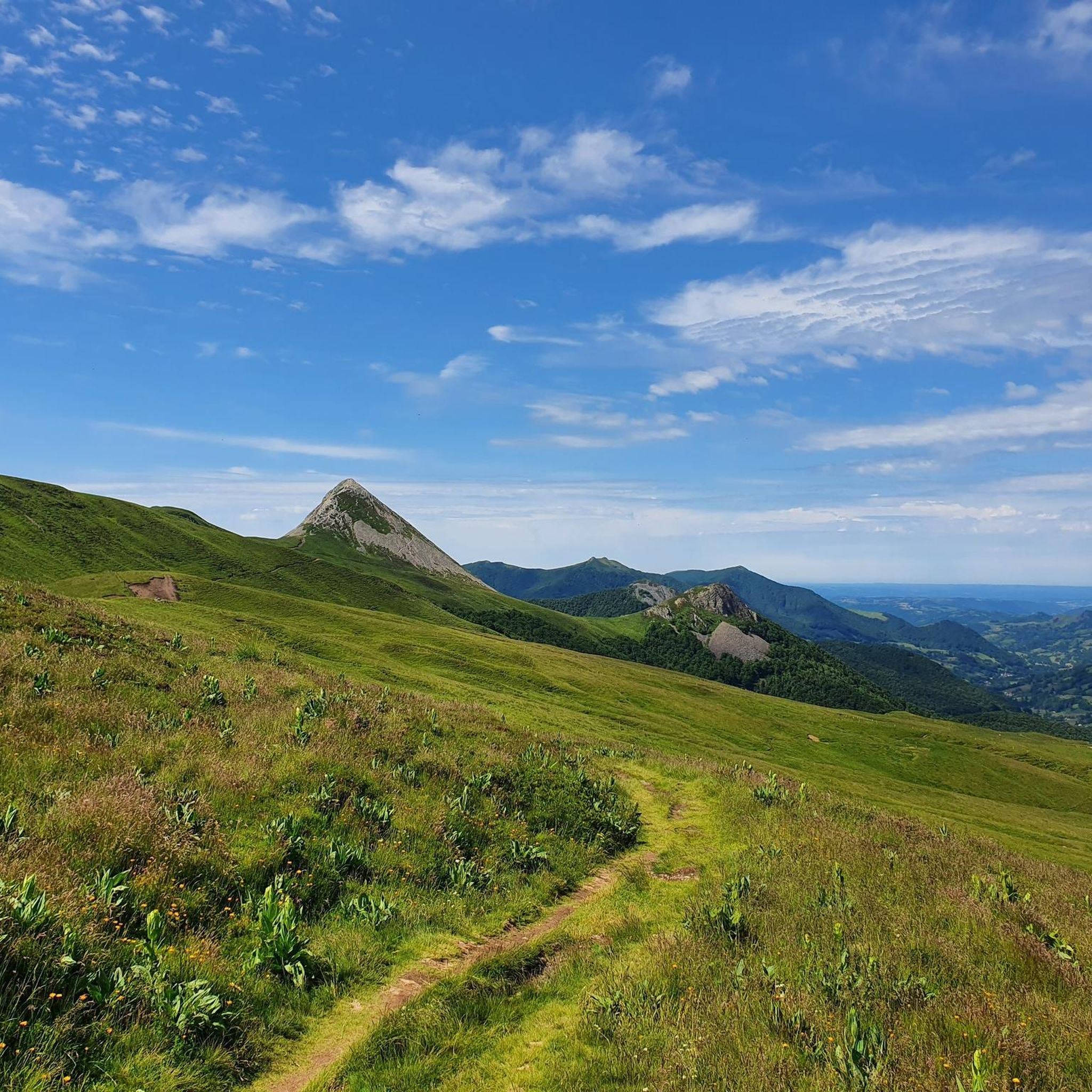
Hiking around Laveissière
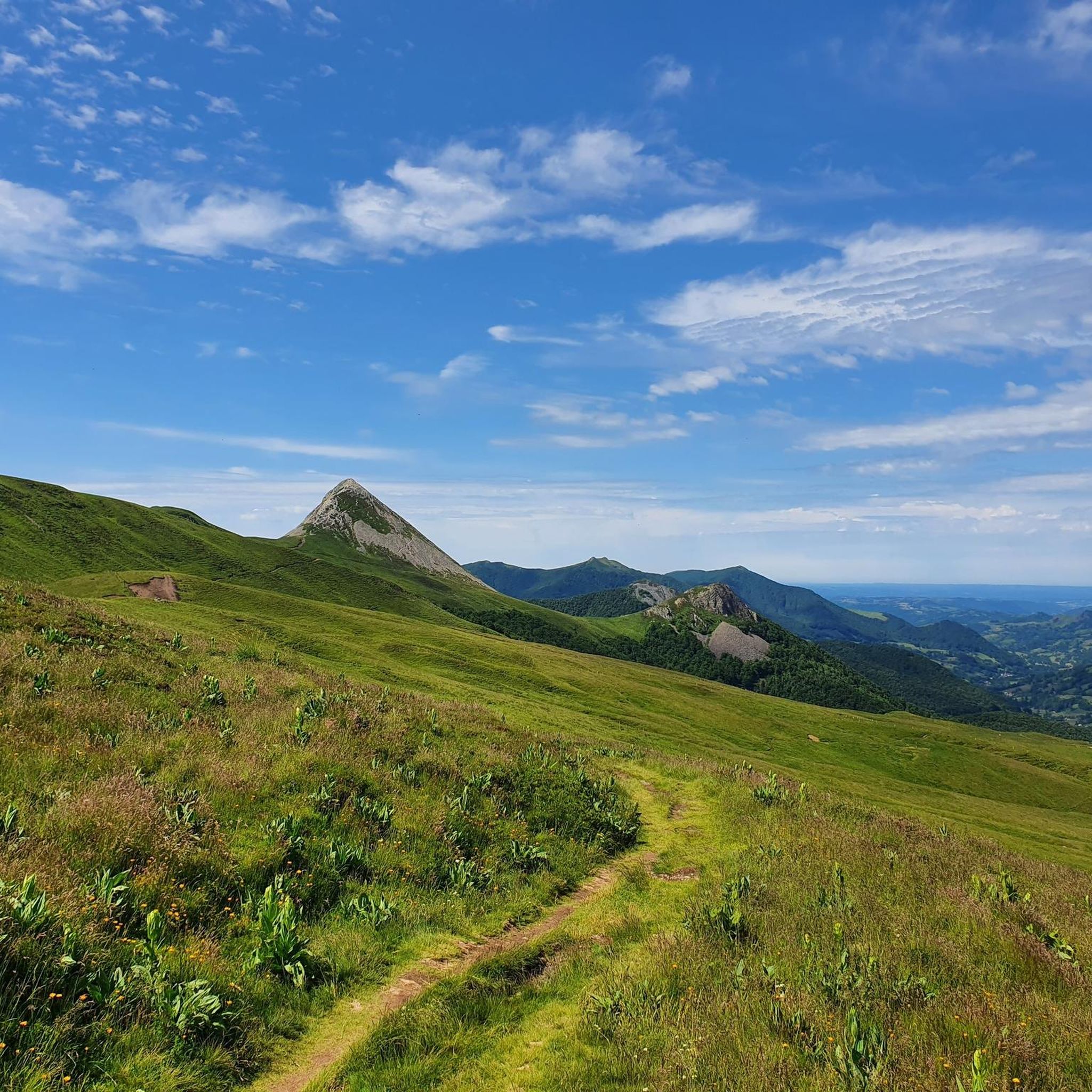
Cycling around Laveissière
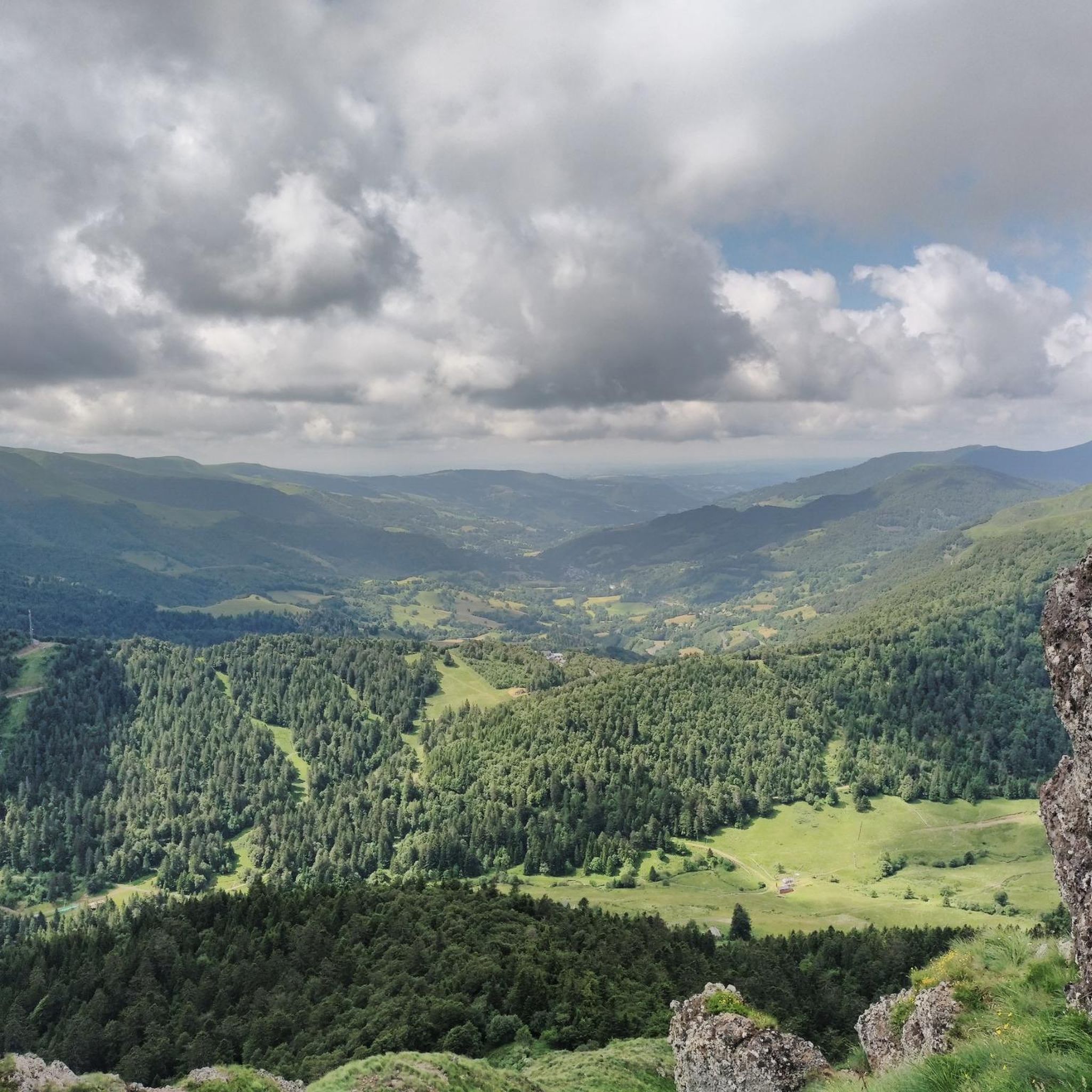
Running Trails around Laveissière
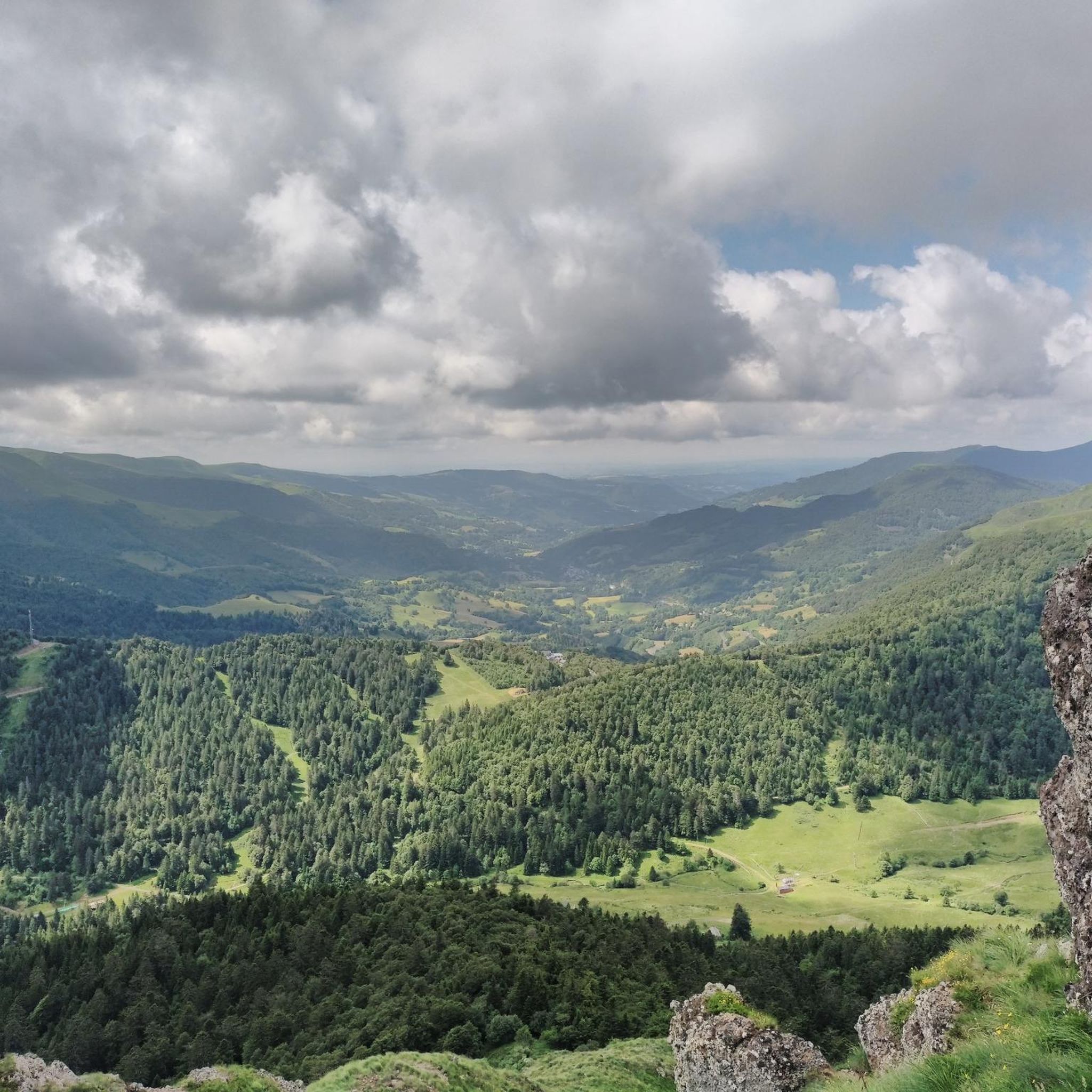
Road Cycling Routes around Laveissière
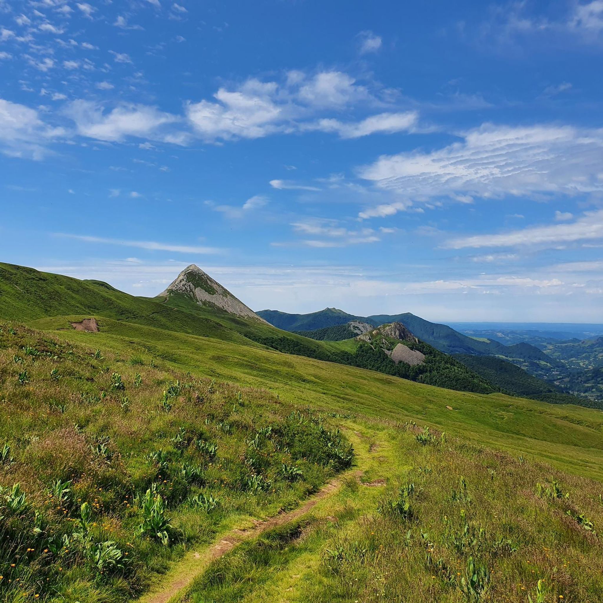
MTB Trails around Laveissière
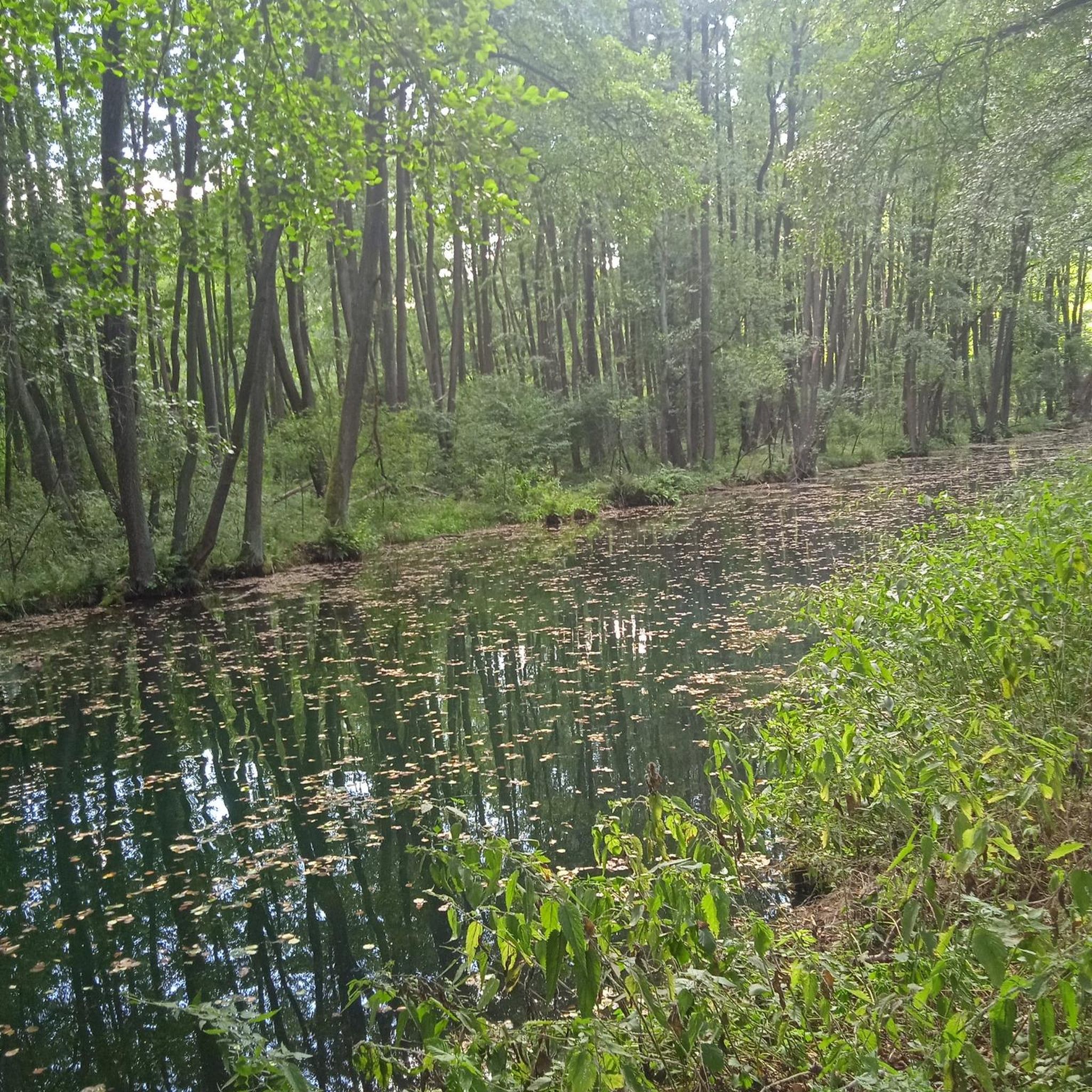
Gravel biking around Laveissière


Tips from the Community

Superb and eating at the buron moved
0
0

magnificent hike along the waterfalls. calm
0
0

A magnificent site where the panoramas are breathtaking!!!
0
0

The Rolland Breach was mildly challenging for this 72yo when dry. Descending in the wet would need good grippy footwear. There is an alternative GR400 track bypass
0
0

Here begin the characteristic steps that allow access to the Puy Mary. The result is a beautiful perspective of this emblematic summit of the Cantal mountains.
1
0

nice climb and good visibility over the valley
0
0
Frequently Asked Questions
How many mountaineering routes are available around Laveissière?
There are over 10 distinct mountaineering routes around Laveissière, offering a range of challenges from moderate to difficult. The region's volcanic landscape provides a unique backdrop for these adventures.
What kind of terrain should I expect on mountaineering routes in Laveissière?
You can expect rugged and varied terrain shaped by the ancient Cantal stratovolcano. Routes feature prominent volcanic peaks like Plomb du Cantal and Puy Griou, deep Alagnon Gorges, and extensive forests, including the Le Lioran departmental forest. These trails often involve significant elevation changes, requiring good fitness and sure-footedness.
Are there any circular mountaineering routes in the Laveissière area?
Yes, Laveissière offers several excellent circular routes. For example, the moderate Plomb du Cantal, 1,855 m – Vue sur la mer de nuages 🏔️⛅🏔️ loop from Col de Prat-de-Bouc is an 8.4-mile trail with steady climbs and panoramic views. Another challenging option is the Puy du Rocher 1813m – Plomb du Cantal, 1,855 m loop from Super Lioran, which features demanding ascents through high-altitude terrain.
What are some of the most scenic viewpoints along the mountaineering trails?
The volcanic landscape of Laveissière offers numerous spectacular viewpoints. Routes like the Plomb du Cantal, 1,855 m – Vue sur la mer de nuages 🏔️⛅🏔️ loop from Col de Prat-de-Bouc provide panoramic views of the surrounding peaks and valleys. The region's 'round volcanoes' create dramatic backdrops, and higher altitudes often reveal breathtaking vistas.
Are there any family-friendly mountaineering options or easier trails around Laveissière?
While many routes are classified as difficult, some moderate options exist that might be suitable for families with older children or those seeking a less strenuous experience. The Plomb du Cantal, 1,855 m – Vue sur la mer de nuages 🏔️⛅🏔️ loop from Col de Prat-de-Bouc is a moderate trail that offers steady climbs and rewarding views without the extreme difficulty of some other routes.
What natural features or attractions can I see along the mountaineering routes?
The region is rich in natural beauty. You can explore the impressive Alagnon Gorges, carved by the Alagnon River, and discover several waterfalls like Chambeuil and Pierre-Taillade. The extensive forests, including Le Lioran departmental forest, are home to ancient trees. For specific points of interest, you might encounter highlights such as Refuge de Cabrespine or Lake du Pêcher, which are often found near trails.
What do other mountaineers enjoy most about the routes in Laveissière?
The routes in Laveissière are highly rated by the komoot community, with an average score of 4.8 stars. Mountaineers often praise the challenging ascents, the dramatic volcanic landscapes, and the rewarding panoramic views from the peaks. The diverse terrain, from deep gorges to extensive forests, also contributes to a memorable experience.
Are there any challenging or advanced mountaineering trails for experienced hikers?
Absolutely. Laveissière is known for its challenging routes. The Ridge line – Puy Mary Summit loop from Mandailles is a difficult 12.9-mile trail with over 3,300 feet of elevation gain, offering a strenuous mountain experience. Another demanding option is the Puy Chavaroche – Redondet Pass loop from Mandailles, which leads through rugged paths and scenic passes.
What is the best season for mountaineering in Laveissière?
The best season for mountaineering typically depends on your preference. During warmer months, the trails are ideal for challenging hikes. In winter, the mountainous terrain around Le Lioran (part of Laveissière) is excellent for snowshoeing, offering a different way to experience the high-altitude environment, similar to winter mountaineering approaches.
Are there places to eat or find refreshments near the mountaineering trails?
While specific cafes directly on every trail are rare, Laveissière and nearby villages offer options. You might find establishments like Auberge d'Aijean or other local huts and burons (traditional shepherd's shelters) that provide refreshments, especially in popular areas or at trailheads.
Are there any specific permits required for mountaineering in Laveissière?
Generally, no specific permits are required for hiking or mountaineering on the established trails in the Parc Naturel Régional des Volcans d'Auvergne. However, it's always advisable to check local regulations, especially if you plan off-trail exploration or winter activities, to ensure you are aware of any specific requirements or restrictions.
What are the options for parking when accessing mountaineering routes?
Many mountaineering routes around Laveissière, especially those starting from popular points like Col de Prat-de-Bouc or Super Lioran, typically have designated parking areas. It's recommended to check the specific route details on komoot for information on trailhead access and parking availability.
Can I reach the mountaineering trails using public transport?
While Laveissière is nestled in a mountainous region, public transport options to specific trailheads might be limited. It's best to research local bus services or shuttle options that connect to key access points like Le Lioran, which is a common starting point for many routes. Planning ahead is crucial if relying on public transport.
What are some of the highest peaks I can reach on a mountaineering route?
The region is dominated by the ancient Cantal stratovolcano, featuring prominent peaks. You can reach the summit of Plomb du Cantal, 1,855 m, which is a significant achievement. Other notable peaks accessible via mountaineering routes include Puy Griou and Puy Mary, offering challenging ascents and stunning views.
Most popular routes around Laveissière
Most popular attractions around Laveissière

Get inspired with the komoot mobile app


Explore more
Browse the best Mountain Hikes & Routes in other regions.
