The best running trails around Laveissière
4.0
(5)
354
runners
19
runs
Jogging around Laveissière offers diverse terrain within the Auvergne Volcanoes Regional Natural Park, at the foot of Puy Mary. The region features ancient volcanic landscapes, including rolling hills and varied elevations. Extensive coniferous and beech forests provide shaded trails, while the Alagnon River carves gorges with accessible waterfalls. This environment offers a range of running conditions for different fitness levels.
Best jogging routes around Laveissière
- The most popular jogging route is Puy Mary via the col de Cabre from Le…
Last updated: October 30, 2026
4.0
(1)
112
runners
Hard run. Very good fitness required. Sure-footedness, sturdy shoes and alpine experience required.
64
runners
Hard run. Very good fitness required. Sure-footedness, sturdy shoes and alpine experience required.

51
runners
16.9km
02:40
990m
990m
Hard run. Very good fitness required. Mostly paved surfaces.
16
runners
24.0km
03:09
920m
920m
Hard run. Very good fitness required. Mostly paved surfaces.
9
runners
4.82km
00:33
140m
140m
Moderate run. Good fitness required. Mostly paved surfaces.
Get access to more routes and recommendations from other explorers.
Already have an account?
Our route recommendations are based on thousands of hikes, rides, and runs completed by other people on komoot.
Start today with a free account
Your next adventure awaits.
Popular around Laveissière
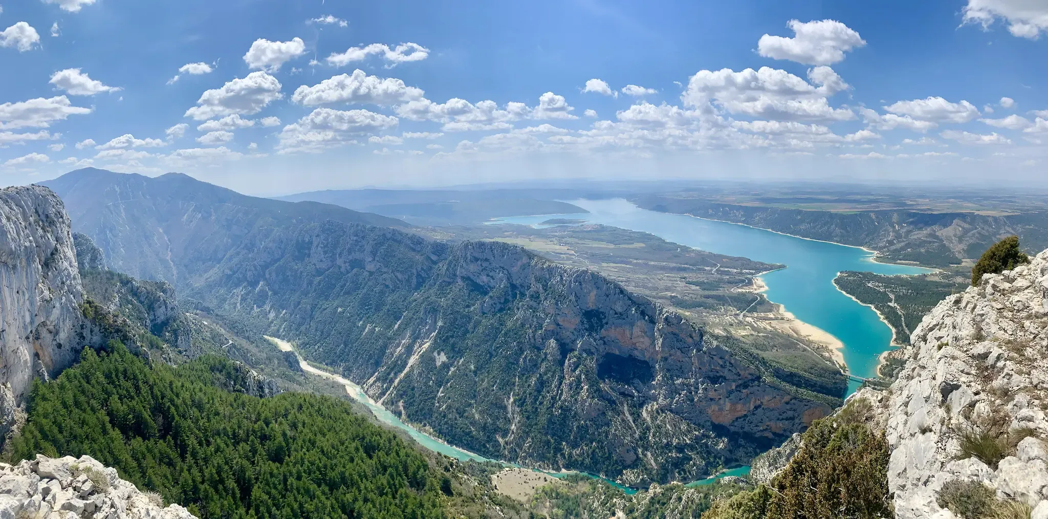
GR 4 – Crossing the south of France from Atlantic Coast to Provence
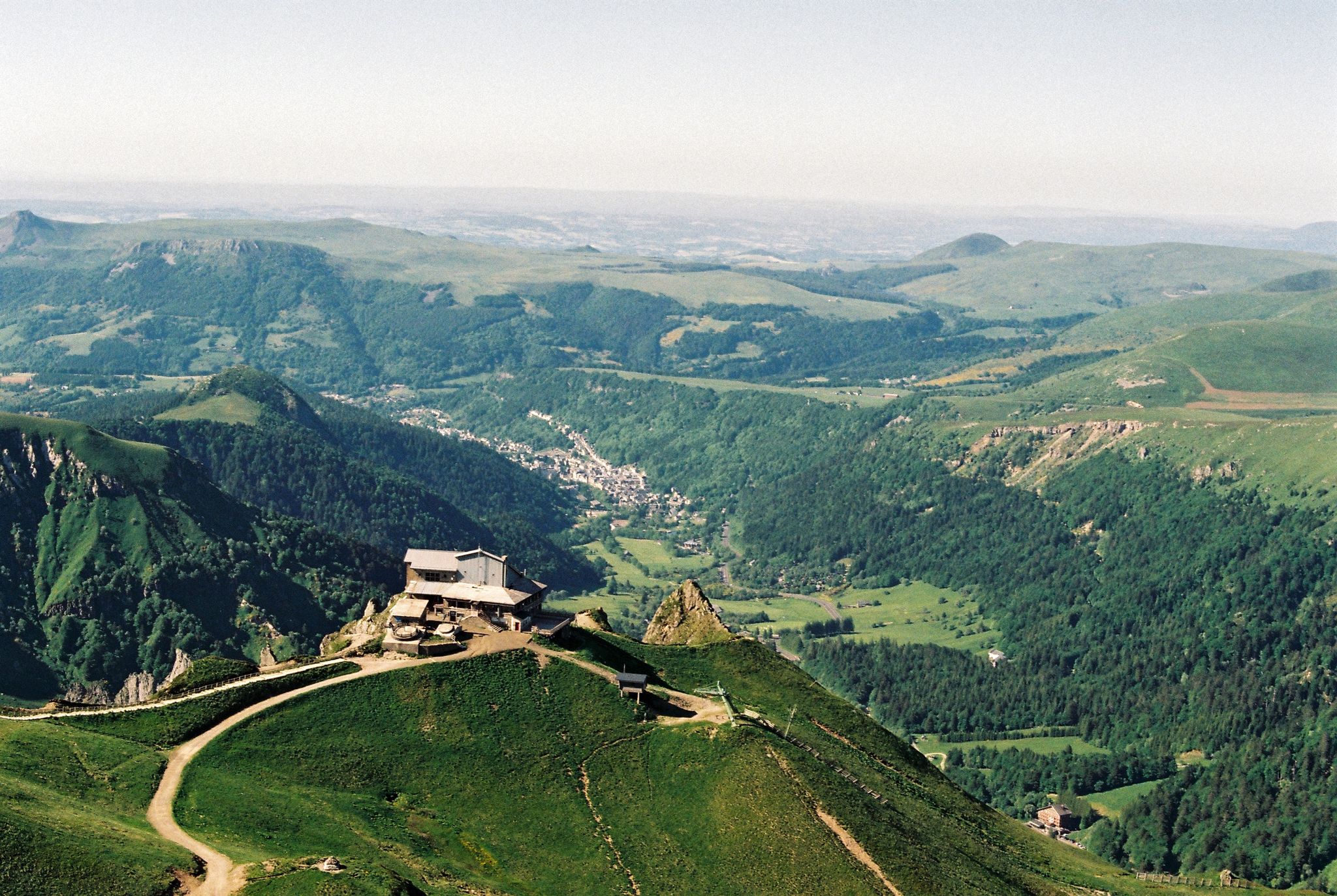
Crossing the volcanoes of Auvergne – Stromboliens, peléens and maars
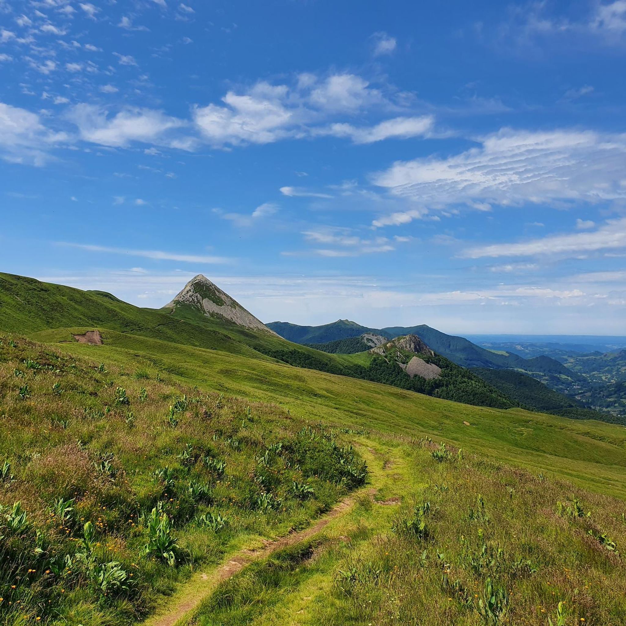
Hiking around Laveissière
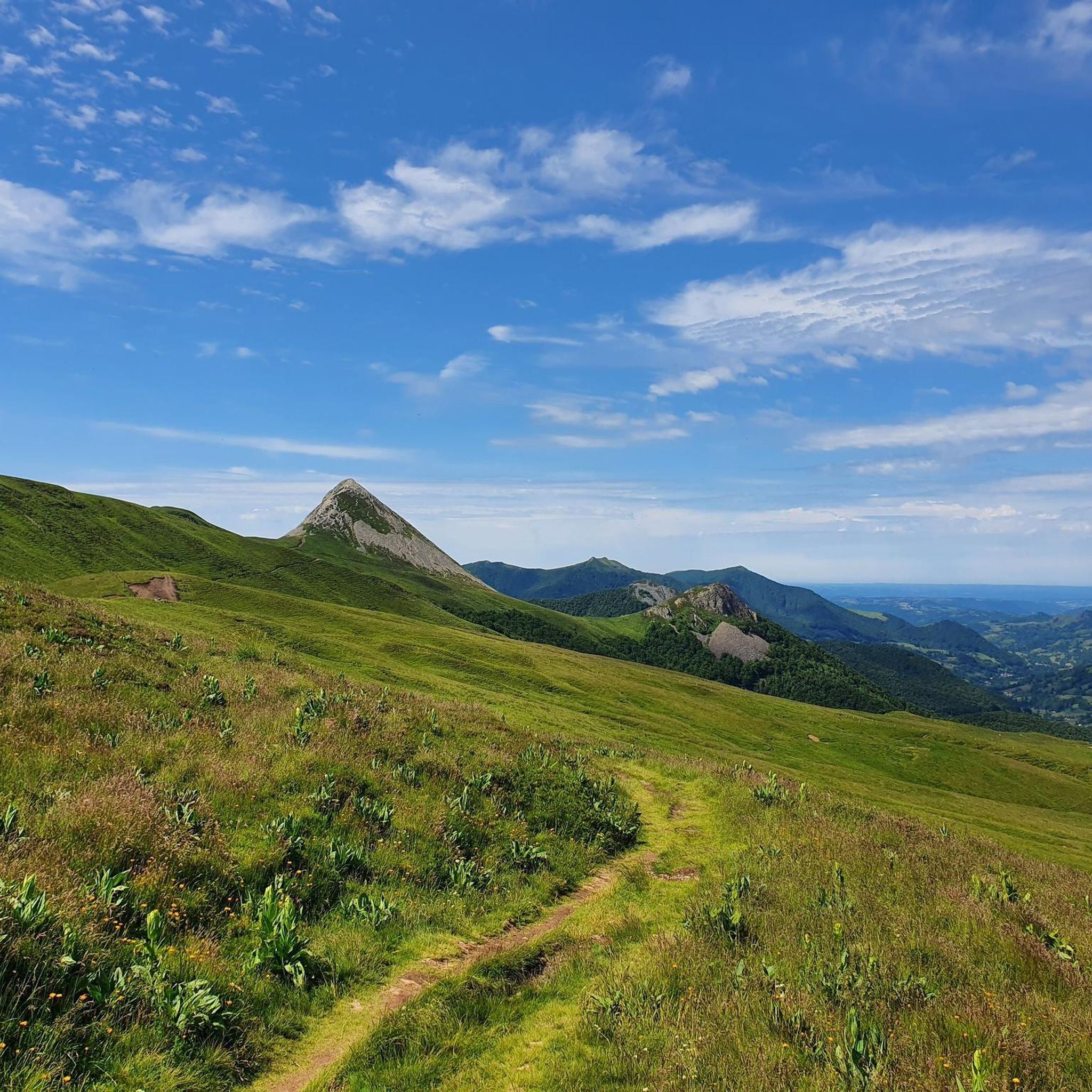
Cycling around Laveissière
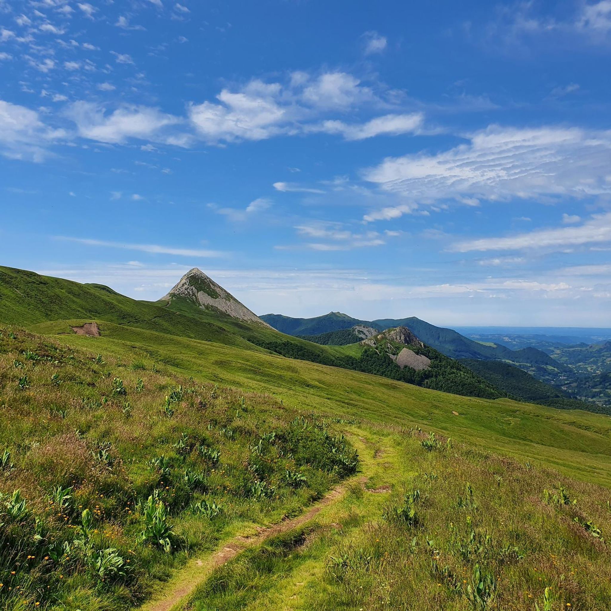
MTB Trails around Laveissière
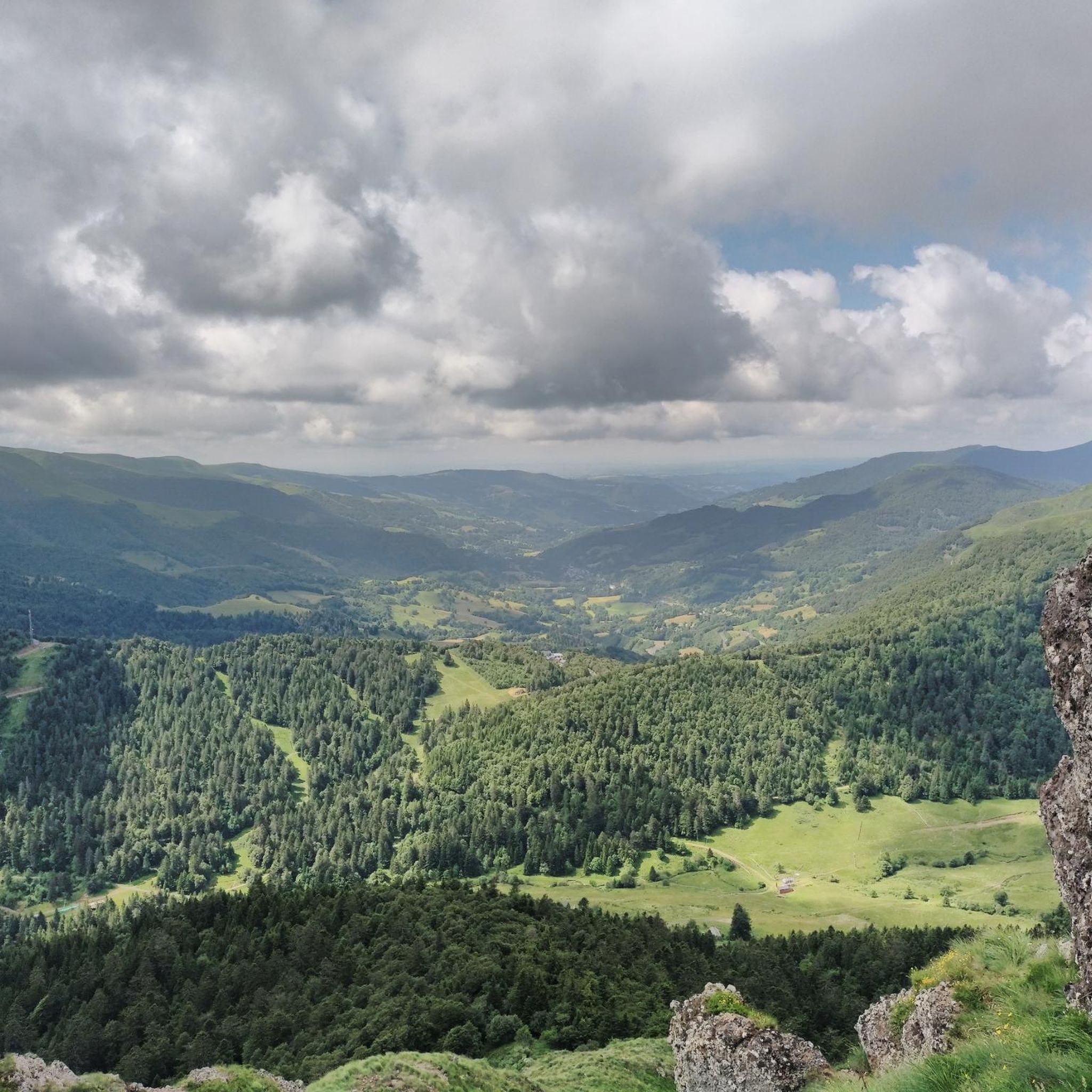
Road Cycling Routes around Laveissière
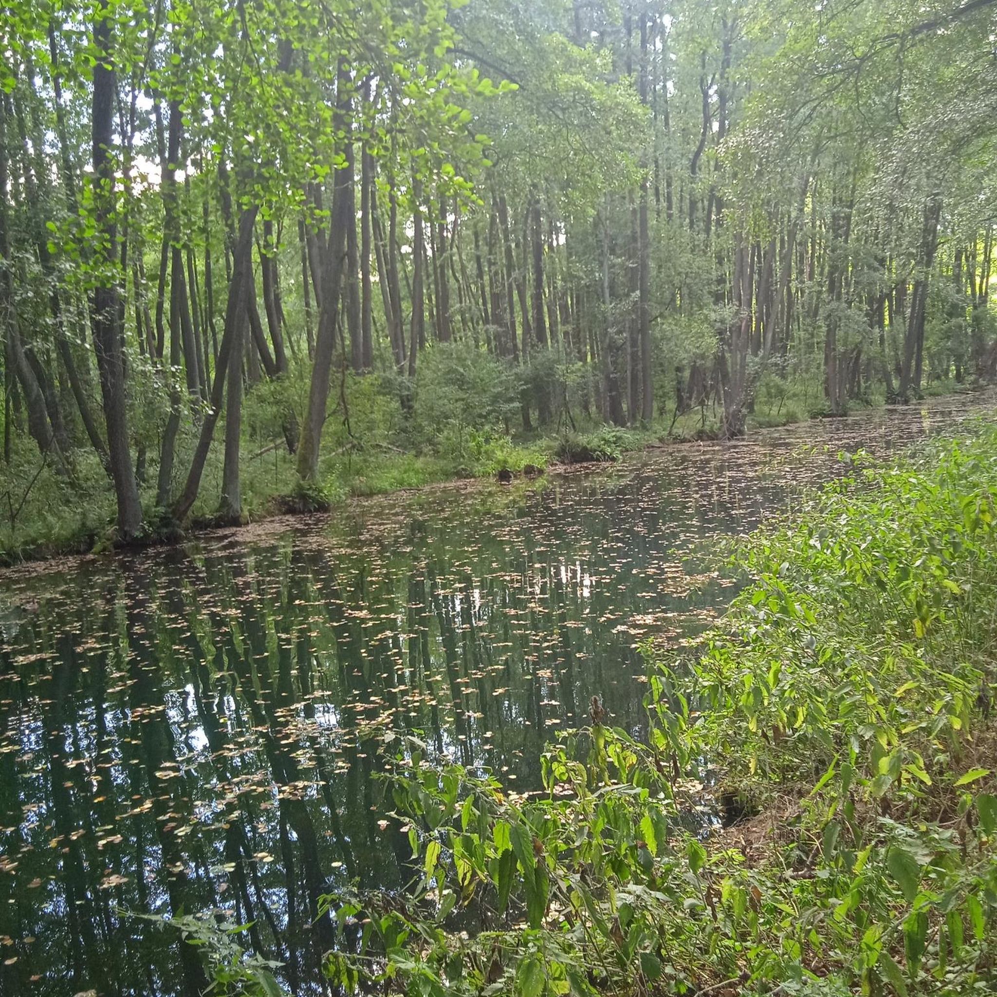
Gravel biking around Laveissière
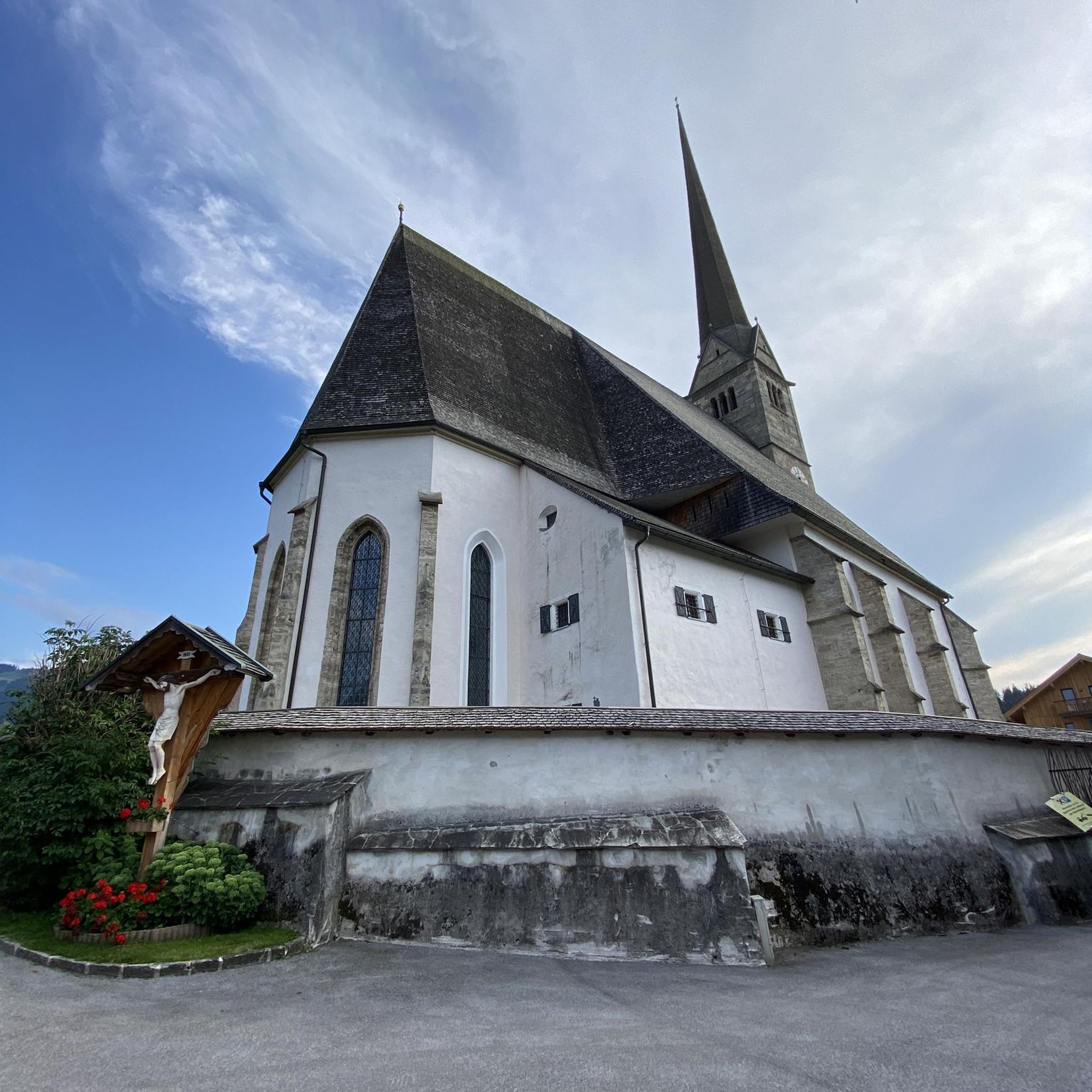
Mountain Hikes around Laveissière


Tips from the Community

Many restaurants, bars and shopping opportunities. Fridays a quite large market
0
0

Summit accessible by gravel bike from the Lioran station via a fairly clean gravel path but with a steep climb (20% gradient in places). It's a beautiful challenge that is well worth it just for the panoramic view at the summit.
0
0

There seems to be an error, the point indicates the top of an impassable hiking trail, I had to push/carry the bike for 2/3 of the route (uphill from saint jacques de blat and downhill towards prat du bouc). However, the view is incredible, I don't regret this little hassle. There seem to be much more rideable trails below.
0
0


Superb and eating at the buron moved
0
0

Magnificent, caution for beginner hikers! A steep descent (or climb depending on the direction) awaits you :)
0
0
Very pretty nipple, the climb is worth it!
0
0
Frequently Asked Questions
How many running routes are available in Laveissière?
Laveissière offers a wide selection of running routes, with over 20 trails available on komoot. These routes cater to various preferences, from easier loops to challenging mountain runs.
What makes the running experience in Laveissière unique?
Running in Laveissière is unique due to its location within the Auvergne Volcanoes Regional Natural Park, at the foot of Puy Mary. You'll encounter dramatic ancient volcanic landscapes, extensive coniferous and beech forests providing shaded trails, and picturesque river gorges with accessible waterfalls. This diverse environment offers a truly distinctive backdrop for your runs.
Are there running routes for all fitness levels in Laveissière?
Yes, Laveissière provides a variety of running routes suitable for different fitness levels. While the region is known for its challenging trails, including 16 difficult routes, there are also 5 moderate and 2 easier options available for those seeking a less strenuous experience.
What kind of terrain can I expect on the running trails around Laveissière?
The terrain in Laveissière is highly varied, reflecting its volcanic origins. You can expect a mix of rolling, verdant hills, ancient volcanic peaks, and extensive forests. Trails often feature significant elevation changes, but also include flatter sections through plains and along river gorges, offering a dynamic running experience.
Are there any running routes that feature waterfalls?
Absolutely! Laveissière boasts a rich hydrographic network with several easily accessible waterfalls. While running, you might encounter cascades such as the Cascade de Chambeuil, Cascade du Four-à-chaux, Cascade de Combe-Nègre, and Cascade de la Pierre-Taillade, adding a scenic element to your journey.
Can I find circular running routes in Laveissière?
Yes, many of the running routes in Laveissière are designed as circular loops, allowing you to start and finish at the same point. For a challenging loop, consider the Bec de l'Aigle et Teton de Venus - trail loop starting from Font d'Alagnon, which offers significant ascents and views of volcanic peaks.
What natural landmarks or points of interest can I see while running?
Laveissière is rich in natural landmarks. Along your runs, you can encounter impressive summits like Puy Mary Summit, Plomb du Cantal, and Venus' Nipple. The region also features unique geological formations such as Roland's Breach. Keep an eye out for local wildlife like mouflon, marmots, and deer.
Are there any challenging trail runs for experienced runners?
Experienced runners will find plenty of challenging options. The region is known for its demanding routes with significant elevation gains. A notable example is the Puy Mary via the col de Cabre from Le Lioran, a 15 km trail with over 600 meters of elevation gain through volcanic landscapes.
What do other runners enjoy most about the trails in Laveissière?
The running trails in Laveissière are highly rated by the komoot community, with an average score of 4.5 stars. Runners often praise the stunning volcanic scenery, the variety of terrain, and the well-maintained paths that allow for immersive experiences in nature. Many appreciate the challenging ascents and rewarding views.
Are there any cultural points of interest near the running routes?
Beyond the natural beauty, Laveissière offers cultural points of interest that can be explored as part of a longer outdoor excursion. These include the house in the rock, ancient cave dwellings, the Chambeuil mill, and the Buronnier's house, providing a glimpse into the region's heritage.
Is Laveissière a good destination for winter running?
While the region is popular year-round, winter running in Laveissière can be challenging due to snow and ice, especially on higher elevation trails. However, the extensive coniferous and beech forests might offer more sheltered paths. It's advisable to check local conditions and trail reports before heading out in winter.
Are there running routes that start near Le Lioran station?
Yes, many excellent running routes are accessible from or near Le Lioran station, which is a key hub in the area. For instance, the challenging Le Puy Brunet – Plomb du Cantal loop from Le Lioran is a popular option for those starting from the station.
Most popular routes around Laveissière
Most popular attractions around Laveissière

Get inspired with the komoot mobile app


Explore more
Browse the best Running Trails & Routes in other regions.
