The best running trails around Üdersdorf
4.4
(780)
3,742
runners
244
runs
Jogging around Üdersdorf offers access to the unique volcanic landscapes of the Vulkaneifel district in Germany. The region is characterized by its maars, which are volcanic crater lakes, and a network of trails through picturesque hills and thickly wooded areas. Runners can explore varied terrain, including paths along the Lieser Valley and routes leading to panoramic viewpoints. This natural environment provides diverse running experiences for various fitness levels.
Best jogging routes around Üdersdorf
- The most popular jogging route is Gemündener…
Last updated: August 20, 2026
4.0
(8)
38
runners
8.52km
01:04
280m
280m
Moderate run. Good fitness required. Mostly paved surfaces. Suitable for all skill levels.
4.9
(7)
48
runners
5.23km
00:34
90m
90m
Moderate run. Good fitness required. Mostly paved surfaces. Suitable for all skill levels.

Sign up for free
4.8
(4)
37
runners
Hard run. Very good fitness required. Mostly paved surfaces. Suitable for all skill levels.
5.0
(1)
20
runners
Hard run. Very good fitness required. Mostly paved surfaces. Suitable for all skill levels.
2.0
(1)
11
runners
26.8km
03:06
460m
460m
Hard run. Very good fitness required. Sure-footedness, sturdy shoes and alpine experience required.
Get access to more routes and recommendations from other explorers.
Sign up for free
Already have an account?
Our route recommendations are based on thousands of hikes, rides, and runs completed by other people on komoot.
Start today with a free account
Your next adventure awaits.
Login or Signup
Popular around Üdersdorf

Excellent paths in the Vulkaneifel – Explore the HeimatSpuren
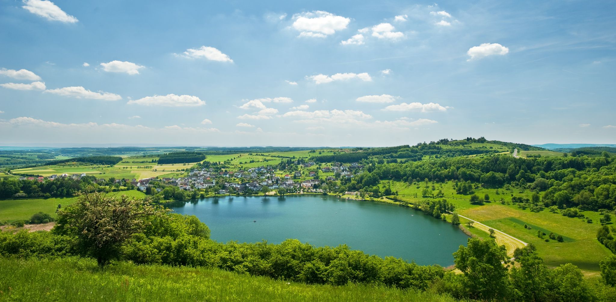
Lava pits & fairytale lakes – hiking through Vulkaneifel in Germany
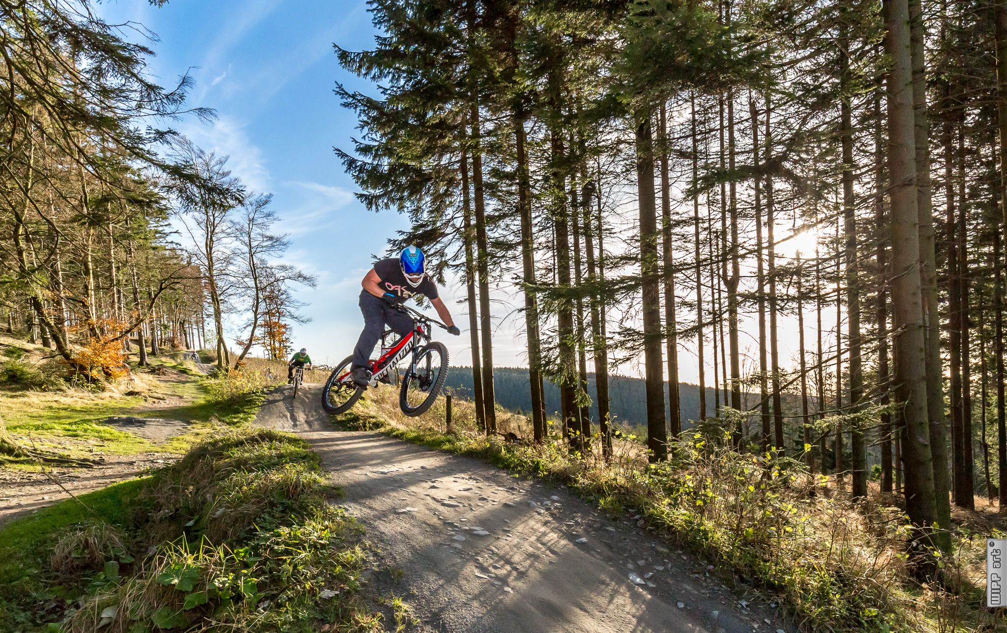
Bike parks in Western Germany
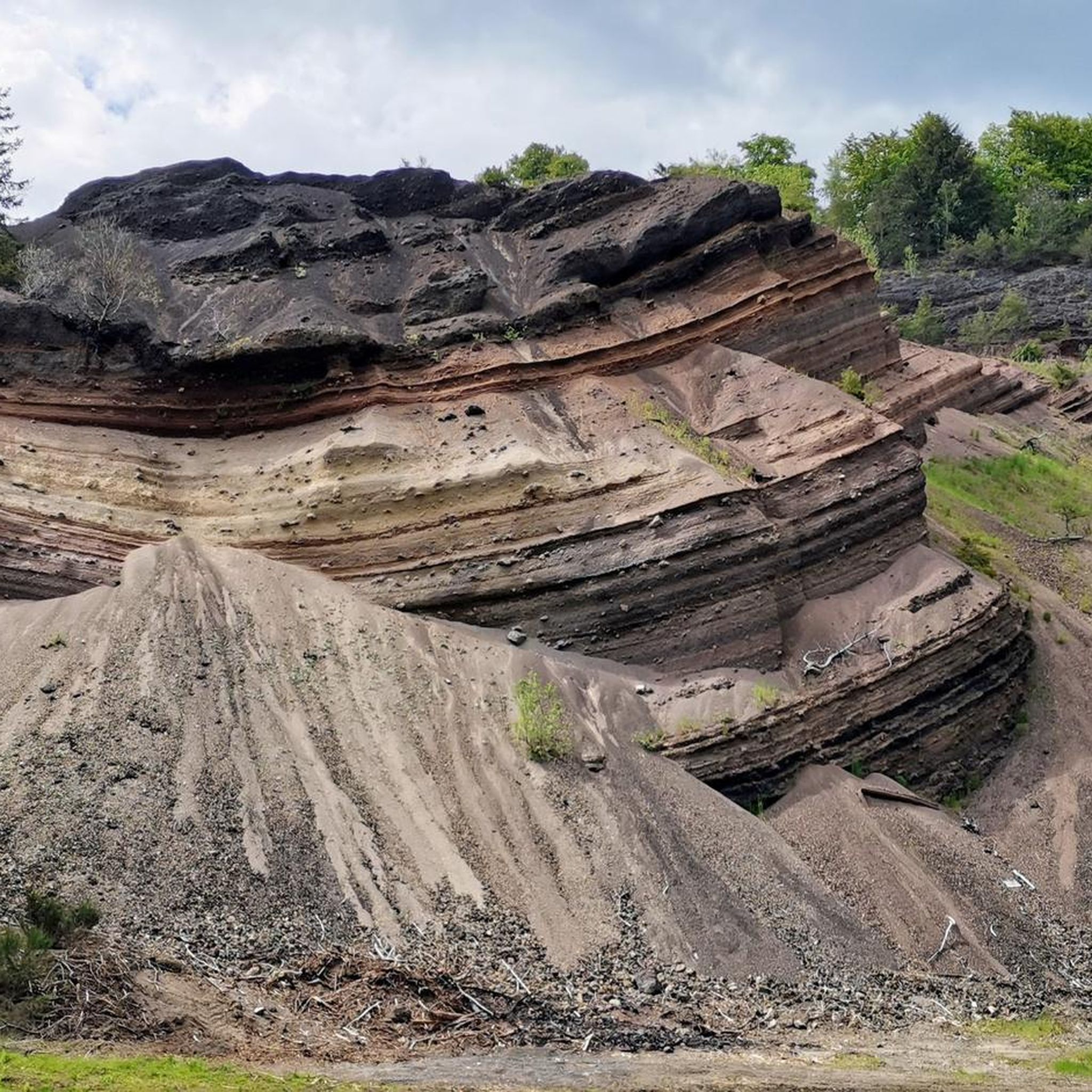
Hiking around Üdersdorf
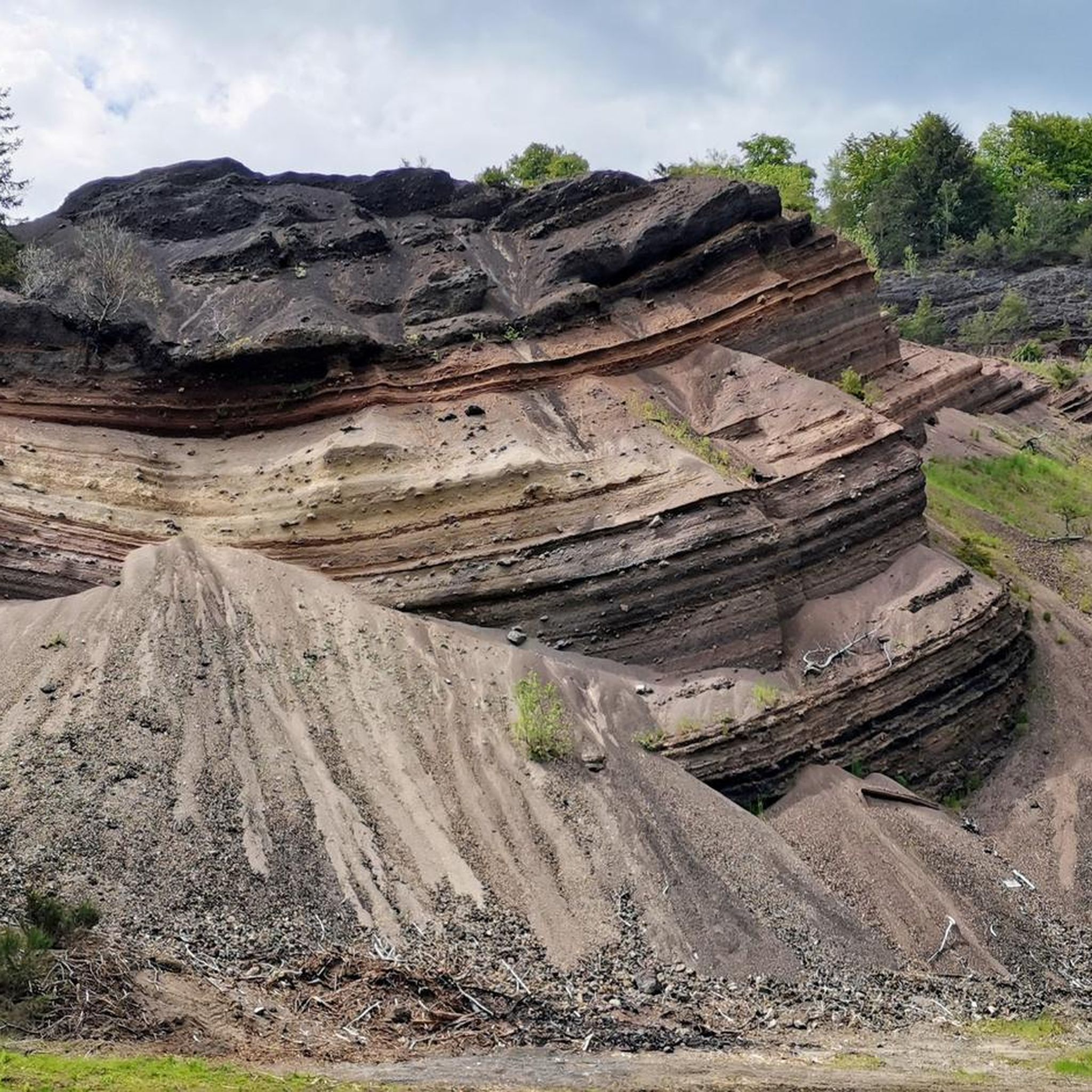
MTB Trails around Üdersdorf
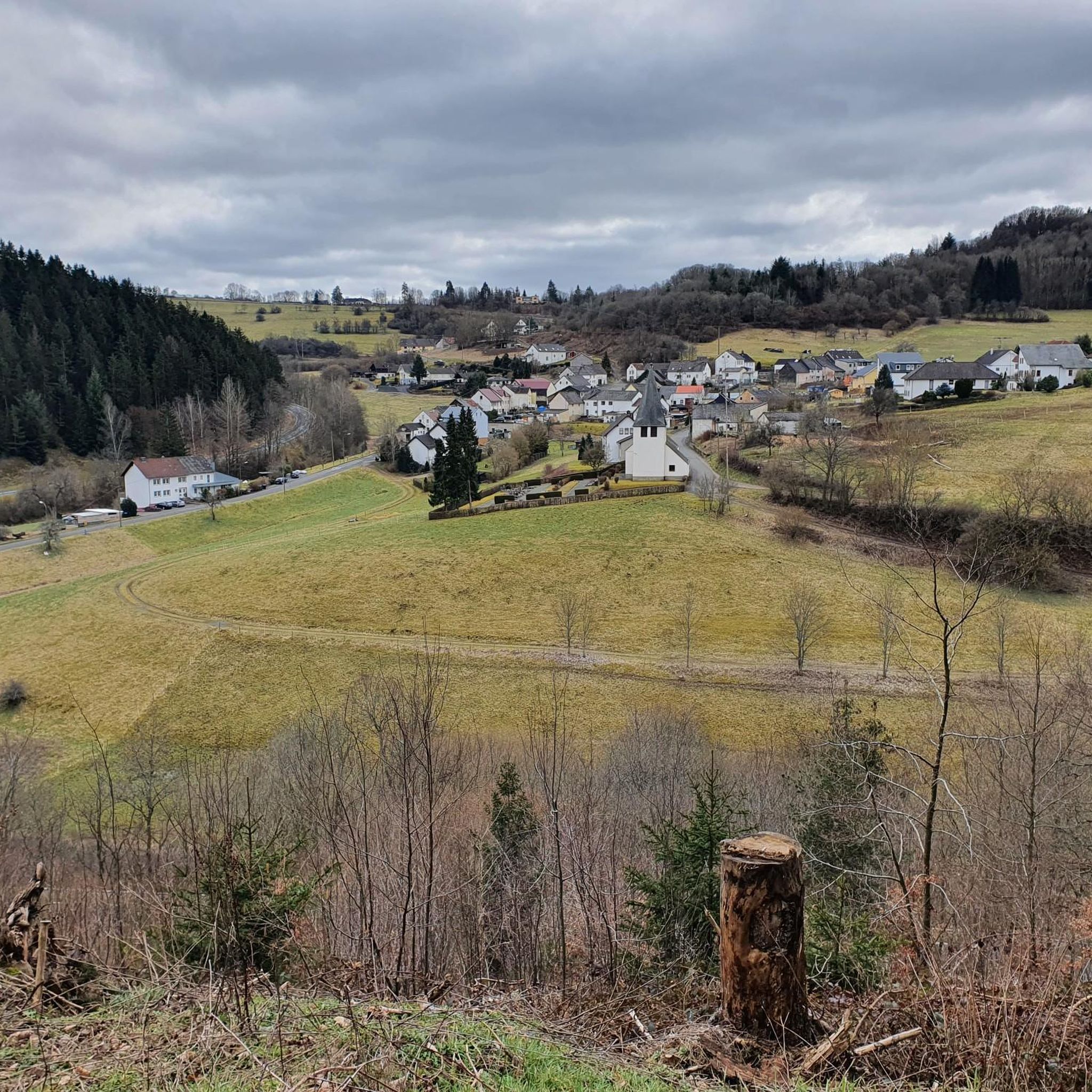
Road Cycling Routes around Üdersdorf
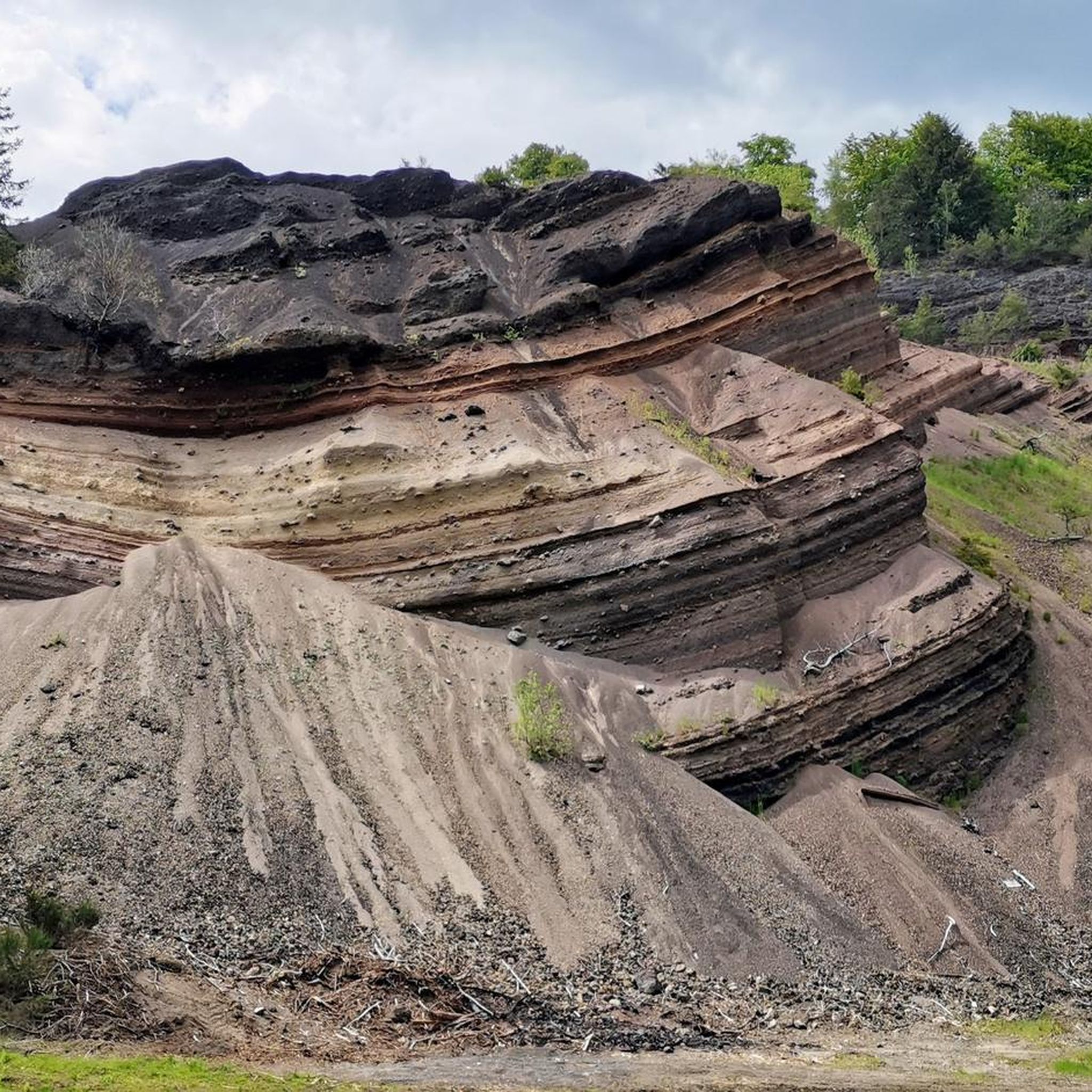
Cycling around Üdersdorf
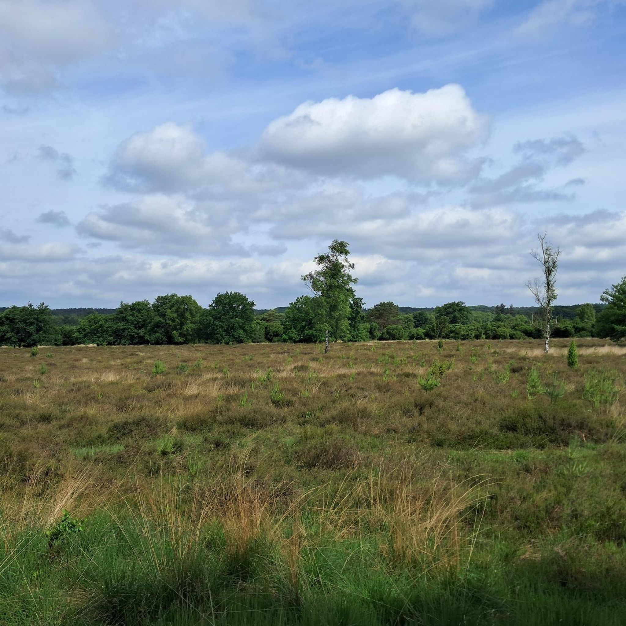
Gravel biking around Üdersdorf
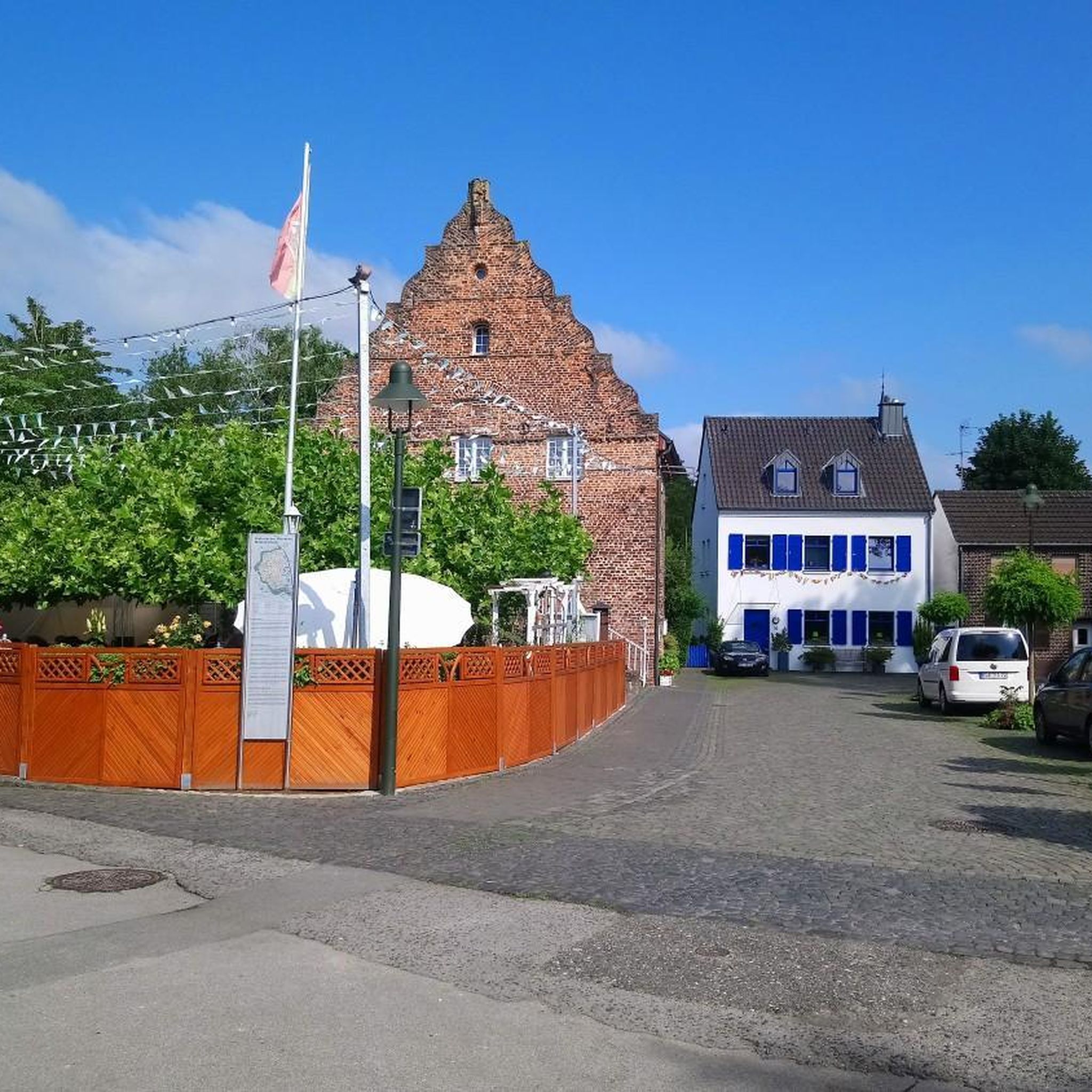
Mountain Hikes around Üdersdorf
Other adventures around Üdersdorf


Tips from the Community

Nice start for the 12th Eifelsteig stage from Manderscheid to Himmerod
0
0

Eifelsteig stage 12 passes at this point. https://youtu.be/EGc9DxGhyIM
0
0

"Old Station" Schalkenmehren Passenger service between Daun and Wittlich was discontinued on November 1, 1981. Schalkenmehren. Approaching the Old Station in Schalkenmehren on the former railway line, today's Maare-Mosel cycle path, and seeing the station building, it's hard to believe that it was opened as a fourth-class railway station exactly 100 years ago. But how did it all begin 100 years ago? Surveying for the Daun-Wittlich railway line began as early as 1897. General preparatory work for the single-track line began in 1907. But it would take some time before the Daun-Schalkenmehren-Gillenfeld section opened on December 1, 1909, with the line running over the 28-meter-high Daun viaduct and through the 560-meter-long Schalkenmehren railway tunnel, "Großes Schlitzohr" (Great Sly Fox). The extension from Gillenfeld to Manderscheid to Pantenburg was completed on May 1, 1910, and the extension from Manderscheid-Pantenburg to Wittlich, signifying the completion of the entire line, was completed on July 1, 1910. The completion of the Daun-Wittlich railway line brought rapid development to the village of Schalkenmehren. In the first year of the line's existence (1910), 18,968 tickets were sold in Schalkenmehren, followed by 25,057 in 1913, 27,969 in 1919, and even 30,279 in 1922. In addition, Schalkenmehren station was designed for general cargo traffic and the receipt and dispatch of wagonloads. Text / Source: www.volksfreund.de/ https://www.volksfreund.de/region/vulkaneifel/ein-schmuckstueck-fuer-nostalgiker_aid-5712448
13
0

beautiful fountain in the middle of Manderscheid
0
0

In the wooded section between the Lieser and Gemünden Maar lakes, hikers and walkers encounter a war memorial. The complex is constructed of stone in a comparatively large semicircle, but the overall appearance leaves me somewhat perplexed: Only the middle of the seven sections created by the vertical structure of the memorial bears a plaque. On the others—three on each side, which, like a window, offer a view of the treetops behind—I would have expected similar plaques, mostly listing the names of the victims who lost their lives in the two terrible world wars in the first half of the last century.
2
0

From the hills around the Schalkenmehrener Maar you have different views of the village and the almost circular water surface. One view is more beautiful than the other. Sometimes you see the St. Martin Church reflected in the water, or you can see a dry maar or the adjacent maar with fen.
2
0

The fountain, created by the Eifel artist Johann Baptist Lenz, stands on the forecourt of the former municipal administration (from 2018, the doctors' center). The fountain is set into depressions in the forecourt floor, next to it in the form of a tree, which is decorated with words of wisdom, sayings, etc. and which children climb. In front of it is a figure in uniform and spiked helmet, probably a municipal police officer from the Prussian era. The so-called "criers" or "criers" existed in every village until the end of the 1950s. If the administration or the local mayor had something to announce, the municipal servant walked through the village with a bell, stopped at prominent points, rang his bell and read out the official announcement. In some villages, people held "Gemeen" (congregation) and announced the news after Sunday mass on the church square copied from: https://kulturdb.de/einobjekt.php?id=39069
1
0

The Niederburg can be explored with guided tours - even at night - or on your own; it is only closed in bad weather. It was expanded into a magnificent, fortified seat of power in the 12th century by the noble family of the Lords of Manderscheid. Source: https://www.eifel.info/a-manderscheider-burgen
54
0
Frequently Asked Questions
How many running routes are available in the Üdersdorf area?
The Üdersdorf region offers a wide selection of running routes, with over 250 trails available. These routes cater to various fitness levels, from easy jogs to challenging long-distance runs through the unique volcanic landscape.
What makes running in Üdersdorf unique?
Running in Üdersdorf is unique due to its distinctive volcanic landscapes, particularly the numerous maars (crater lakes) like the Gemündener Maar and Schalkenmehrener Maar. The region also features picturesque hills, thickly wooded areas, and the tranquil Lieser Valley, providing a diverse and scenic backdrop for your runs.
Are there running routes suitable for beginners in Üdersdorf?
Yes, Üdersdorf offers a good selection of routes for beginners. There are approximately 30 easy running trails that provide a gentle introduction to the region's beautiful scenery without overly demanding terrain. A moderate option is the Stausee Üdersdorf loop from Üdersdorf, which is 6.4 km long.
What about more challenging running trails around Üdersdorf?
For experienced runners seeking a challenge, Üdersdorf has over 40 difficult running trails. These routes often feature significant elevation changes and longer distances, such as the Lieserpfad Trail – Manderscheid Lower Castle loop from Üdersdorf, which spans 26.8 km with over 450 meters of ascent.
What do other runners think about the trails in Üdersdorf?
The running routes in Üdersdorf are highly rated by the komoot community, with an average score of 4.4 stars from nearly 700 reviews. Runners often praise the varied terrain, the stunning views of the maars, and the well-maintained paths through the Eifel's natural beauty.
Are there circular running routes in Üdersdorf?
Yes, many of the running routes in Üdersdorf are circular, allowing you to start and finish at the same point. For example, the popular Gemündener Maar – Dronke Tower loop from Daun offers a scenic 8.6 km circular run.
Can I run with my dog on the trails in Üdersdorf?
Generally, many trails in the Vulkaneifel region are dog-friendly, especially those through wooded areas and along natural paths. However, it's always advisable to keep your dog on a leash, particularly in nature reserves or near livestock, and to check local regulations for specific routes.
Are there family-friendly running routes in Üdersdorf?
While specific 'family-friendly' running routes aren't explicitly categorized, many of the easier and moderate trails through the wooded surroundings or around the maars can be suitable for families. Look for routes with less elevation gain and shorter distances for a more enjoyable experience with children.
What kind of natural landmarks can I see along the running routes?
The running routes in Üdersdorf are rich with natural landmarks. You can encounter the iconic maars, such as the Schalkenmehrener Maar, and enjoy panoramic views from spots like the Dronke Tower on the Mäuseberg. The region's volcanic past is also evident in basalt formations and the tranquil Lieser Valley with its mineral springs.
Are there any viewpoints along the running trails in Üdersdorf?
Absolutely. The volcanic landscape of Üdersdorf offers numerous stunning viewpoints. The Dronke Tower on the Mäuseberg provides a wonderful panoramic view over the maars. Other notable viewpoints include the Maarkreuz, offering views of the Schalkenmehren Maar, and various spots around the Weinfelder Maar.
What is the best time of year to go running in Üdersdorf?
Üdersdorf offers a great running experience throughout the year. Spring brings blooming flowers, summer allows for refreshing dips in the maar lakes after a run, and autumn transforms the forests into a spectacle of color. Even winter can be beautiful, with crisp air and serene, snow-dusted landscapes, though some trails might require more suitable footwear.
Are there any routes that follow former railway lines?
Yes, the region features unique routes like the 'Großes Schlitzohr Tunnel,' a former railway tunnel that has been converted into a path. While primarily known as a cycle path, it offers a sheltered and historically interesting route that can be suitable for jogging, complete with historic niches and the sound of dripping water.
Most popular routes around Üdersdorf
Most popular attractions around Üdersdorf

Get inspired with the komoot mobile app


Explore more
Browse the best Running Trails & Routes in other regions.
