The best running trails around Ferrières-Saint-Mary
4.0
(8)
116
runners
11
runs
Jogging routes around Ferrières-Saint-Mary offer diverse terrain across altitudes ranging from 658 meters to 1,183 meters. The region features extensive forests, varied topography, and a mix of shaded paths and open areas. Runners can explore river valleys, high plateaus, and routes leading to panoramic viewpoints. This varied landscape provides options for different running preferences and fitness levels.
Best jogging routes around Ferrières-Saint-Mary
- The most popular jogging route is Running loop from Coren, a 7.0 miles (11.3 km) trail that…
Last updated: June 29, 2026
4.0
(1)
3
runners
11.3km
01:17
260m
260m
Moderate run. Good fitness required. Mostly paved surfaces. Suitable for all skill levels.
4
runners
18.7km
02:13
430m
430m
Hard run. Very good fitness required. Sure-footedness, sturdy shoes and alpine experience required.

Sign up for free
3
runners
13.6km
01:36
300m
300m
Hard run. Very good fitness required. Sure-footedness, sturdy shoes and alpine experience required.
3
runners
7.09km
00:48
80m
70m
Moderate run. Good fitness required. Mostly paved surfaces. Suitable for all skill levels.
3
runners
13.6km
01:38
300m
300m
Hard run. Very good fitness required. Sure-footedness, sturdy shoes and alpine experience required.
Get access to more routes and recommendations from other explorers.
Sign up for free
Already have an account?
Our route recommendations are based on thousands of hikes, rides, and runs completed by other people on komoot.
Start today with a free account
Your next adventure awaits.
Login or Signup
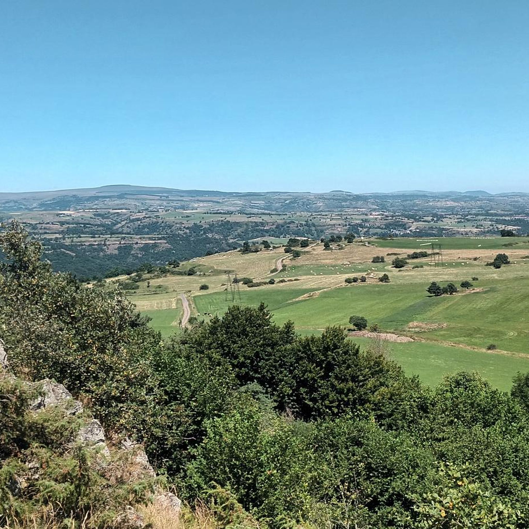
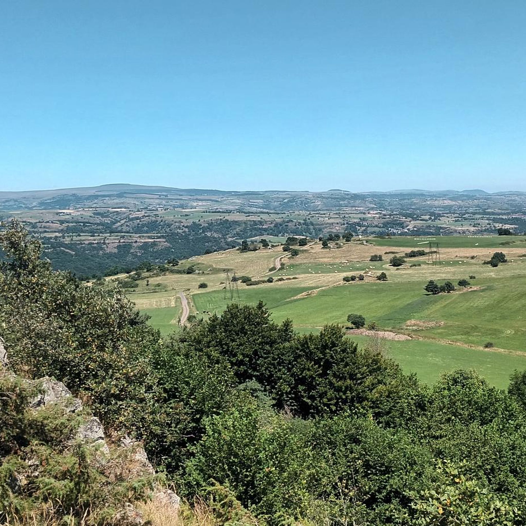
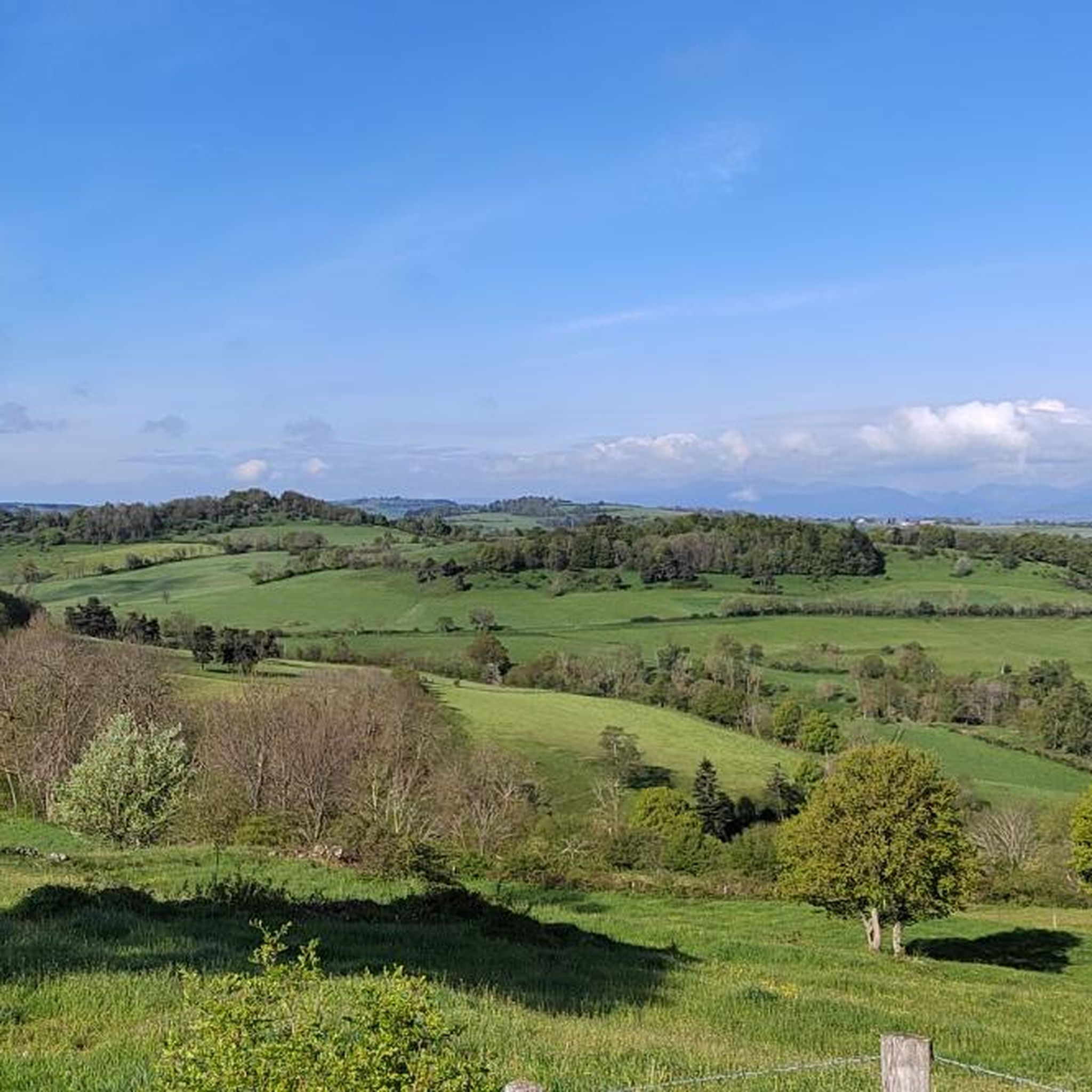
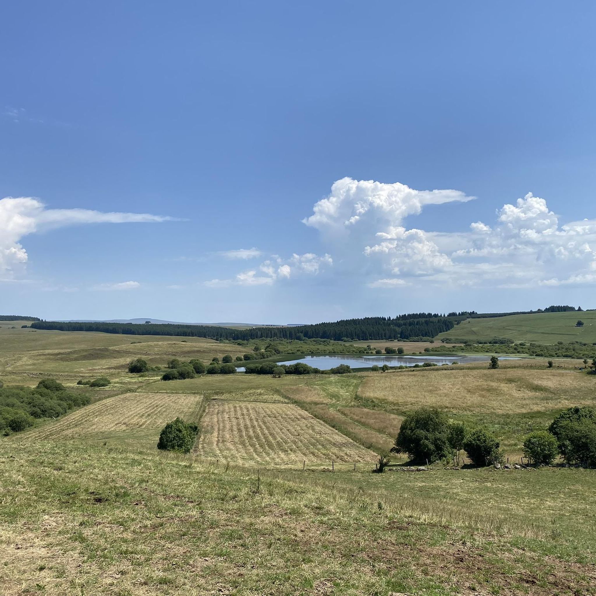
Tips from the Community

Nice view on the descent to Neussargues
0
0
Frequently Asked Questions
How many running routes are available in Ferrières-Saint-Mary?
There are over 14 diverse running routes around Ferrières-Saint-Mary, offering a range of experiences from moderate loops to more challenging ascents. These routes are highly rated by the komoot community, with an average score of 4.2 stars.
What kind of terrain can I expect on running trails around Ferrières-Saint-Mary?
The region offers a diverse range of terrain, from altitudes of 658 meters to 1,183 meters. You'll find extensive forests, varied topography, shaded paths, open areas, river valleys like the Alagnon, and high plateaus. This variety provides options for different running preferences and fitness levels.
Are there any challenging running routes for experienced runners?
Yes, for experienced runners seeking a challenge, routes like the View of the Rocher de Laval loop from Neussargues offer significant elevation changes over 18.7 km. The ascent to Mont Journal (1,183 m) also provides a demanding climb with a magnificent 360-degree panorama of the Cantal Mountains.
Are there any easier or beginner-friendly jogging paths in the area?
While there are no routes specifically classified as 'easy' in the guide data, many of the 'moderate' routes, such as the Running loop from Lotissement Ernest Massebeuf (6.2 km with minimal elevation gain), can be suitable for beginners. Running alongside the Alagnon river also tends to offer flatter terrain.
Can I find long-distance running trails in Ferrières-Saint-Mary?
Yes, the region offers options for longer runs. The View of the Rocher de Laval loop from Neussargues is 18.7 km, and the Grottes de Cuzers loop from Neussargues-Moissac covers 13.6 km. Additionally, sections of the historic Via Arverna, a secondary route of the Camino de Santiago, cross the commune and can be incorporated into longer running sessions.
Are there running routes that pass by scenic viewpoints or natural landmarks?
Absolutely! Many routes offer stunning views. The summit of Mont Journal provides a 360-degree panorama of the Cantal Mountains. The Chapel Notre-Dame de Valentine, located on a promontory, also offers magnificent views of the Cantal mountains and the Cézallier. The Gorges de la Bouzaire provide a picturesque 6 km circuit with varying natural soundscapes.
Can I discover historical sites while jogging in Ferrières-Saint-Mary?
Yes, the area is rich in history. You can run along sections of the ancient Via Arverna pilgrimage path. Other notable historical sites include the Chaire de Saint Mary, a basalt block where Saint Mary is said to have preached, the ancient Saint-Austremoine Fountain, and the village of Saint-Mary-le-Cros with one of Cantal's oldest churches. The Grottes de Cuzers loop from Neussargues-Moissac can lead you near the Grotte du Cuze, a cave with potential early human occupation.
Are there any running trails that feature waterfalls?
Yes, you can find routes that lead to natural water features. The Babory Waterfall is a notable attraction in the area that can be incorporated into a running excursion. The 'sparkling spring' in the Bois du Four also suggests picturesque, wooded areas with natural water features.
Are there circular running routes available in Ferrières-Saint-Mary?
Many of the running routes in Ferrières-Saint-Mary are designed as loops, making them convenient for starting and finishing at the same point. Examples include the popular Running loop from Coren and the Running loop from Lascombes.
What do other runners enjoy the most about jogging in Ferrières-Saint-Mary?
The running routes in Ferrières-Saint-Mary are highly rated by the komoot community, with an average score of 4.2 stars from over 7 reviews. Runners often praise the extensive forests, varied topography, and the mix of shaded paths and open areas that provide a diverse and engaging experience. The panoramic views from higher elevations are also frequently highlighted.
Are there any specific attractions or points of interest I should look out for while running?
Beyond the natural beauty, you might encounter several points of interest. Consider visiting Sailhant Castle, the charming settlement of Allanche, or the scenic Babory Waterfall. These highlights can add an extra layer of discovery to your run.
Is Ferrières-Saint-Mary a good place for family-friendly running or jogging?
The region offers a range of routes, and while specific 'family-friendly' designations aren't provided, the varied terrain means you can find paths suitable for different ages and fitness levels. Flatter sections along the Alagnon river or shorter, moderate loops like 'La Chapeloune' (3.5 km, mentioned in region research) could be good options for families.
Most popular routes around Ferrières-Saint-Mary
Most popular attractions around Ferrières-Saint-Mary

Get inspired with the komoot mobile app


Explore more
Browse the best Running Trails & Routes in other regions.
