The best walks and hikes around Ferrières-Saint-Mary
4.6
(35)
216
hikers
18
hikes
Hiking around Ferrières-Saint-Mary offers diverse landscapes within the Cantal department, characterized by its position along the Alagnon River and proximity to the Volcans d'Auvergne Regional Natural Park. The terrain varies significantly, encompassing lush river valleys, dramatic gorges like those of La Bouzaire, and plateaus that lead to volcanic peaks. Altitudes in the commune range from 658 meters to 1,183 meters, providing varied elevation gains for hikers.
Best hiking trails around Ferrières-Saint-Mary
- The most popular hiking route is Cuzers Caves –…
Last updated: June 25, 2026
4.9
(8)
36
hikers
17.6km
05:01
380m
380m
Hard hike. Very good fitness required. Mostly accessible paths. Sure-footedness required.
5.0
(2)
10
hikers
6.27km
02:09
330m
330m
Moderate hike. Good fitness required. Easily-accessible paths. Suitable for all skill levels.

Sign up for free
3.5
(2)
12
hikers
3.38km
00:57
70m
70m
Easy hike. Great for any fitness level. Easily-accessible paths. Suitable for all skill levels.
8
hikers
5.81km
01:54
260m
260m
Easy hike. Great for any fitness level. Easily-accessible paths. Suitable for all skill levels.
8
hikers
13.7km
04:18
520m
520m
Moderate hike. Good fitness required. Easily-accessible paths. Suitable for all skill levels.
Get access to more routes and recommendations from other explorers.
Sign up for free
Already have an account?
Our route recommendations are based on thousands of hikes, rides, and runs completed by other people on komoot.
Start today with a free account
Your next adventure awaits.
Login or Signup
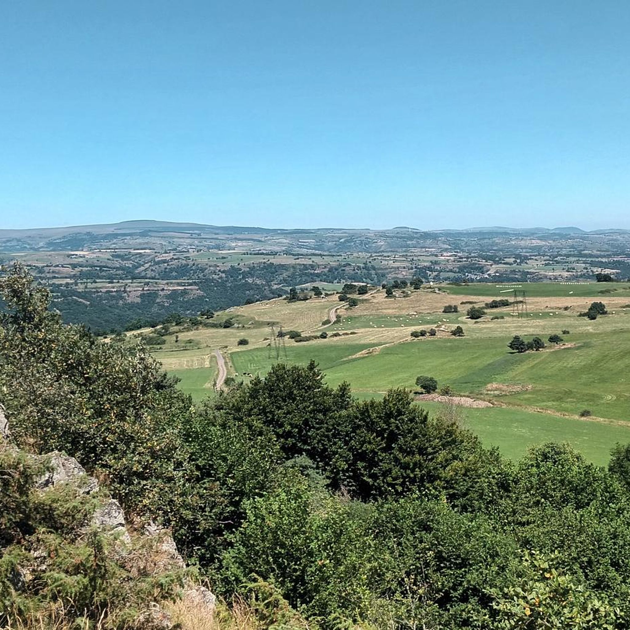
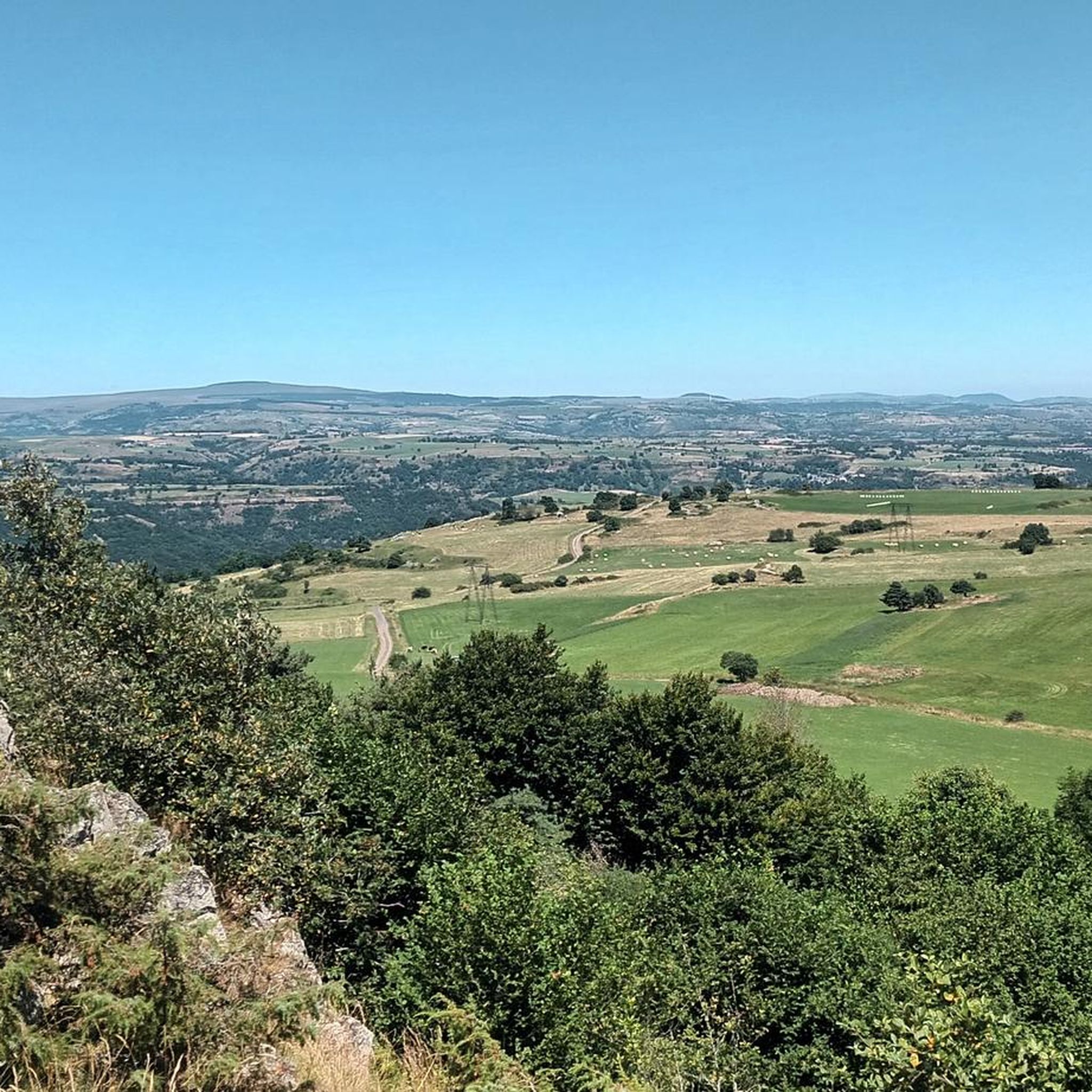
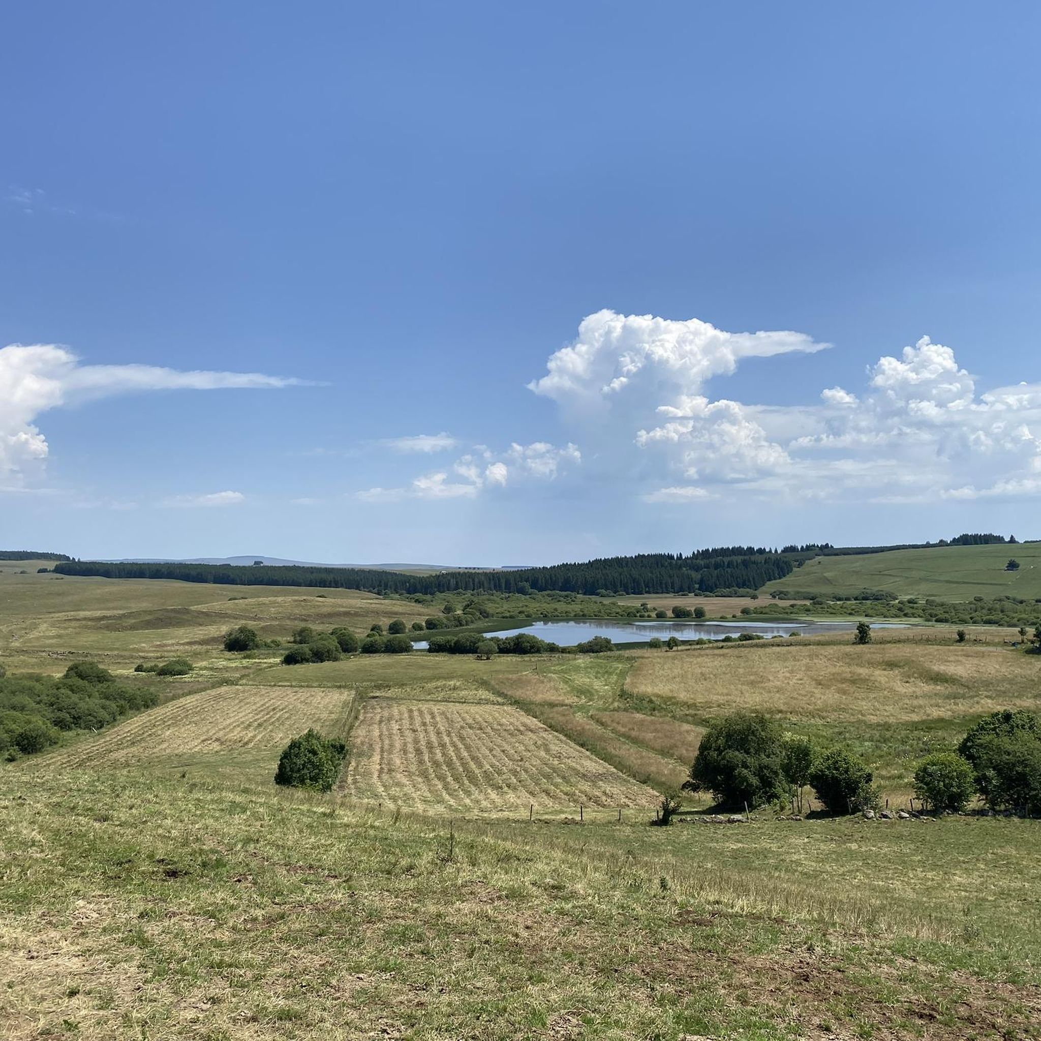

Tips from the Community


The riverside footpath is only recommended in dry weather. (Beware of lots of dog poop.)
1
0
The campsite 🏕️, starting point for interesting hikes.
1
0
The old church on the mountain.
1
0
Frequently Asked Questions
How many hiking trails are available in Ferrières-Saint-Mary?
There are over 15 marked hiking trails in and around Ferrières-Saint-Mary, offering a variety of experiences from easy strolls to more challenging ascents. The komoot community has explored more than 190 routes in the area.
What kind of terrain can I expect when hiking in Ferrières-Saint-Mary?
The terrain around Ferrières-Saint-Mary is diverse, ranging from lush river valleys along the Alagnon to dramatic gorges like those of La Bouzaire. You'll also find plateaus leading to volcanic peaks such as Mont Journal, which offers panoramic views. Altitudes vary from 658 meters to 1,183 meters, providing varied elevation gains.
Are there easy hiking options for beginners or casual walkers?
Yes, Ferrières-Saint-Mary offers several easy routes. For instance, the 🥾 Bridge – 🥾 Campsite loop from Valjouze is an easy 3.4 km trail through the Valjouze valley, taking about an hour. The area also features shorter circuits like the 3.5 km La Chapeloune circuit, which explores chapel ruins in the woods.
Are there any challenging hikes for experienced trekkers?
For those seeking a challenge, the Cuzers Caves – Cheylat Waterfall loop from Neussargues is a difficult 17.6 km trail that takes approximately 5 hours to complete. This route explores natural caves and a waterfall, offering significant elevation changes.
Can I find circular hiking routes in the area?
Many of the trails around Ferrières-Saint-Mary are circular, allowing you to start and end at the same point. Examples include the 🥾 Église loop from Ferrières, a moderate 6.4 km path, and the longer 🥾 Église – 🥾 Bridge loop from Ferrières, which covers 13.8 km.
Are there any waterfalls to see on the hikes?
Yes, you can discover waterfalls in the vicinity. The Cuzers Caves – Cheylat Waterfall loop from Neussargues specifically mentions a waterfall along its route. Additionally, the Babory Waterfall is a notable natural feature in the area.
What natural landmarks or viewpoints can I discover?
Hikers can explore several natural landmarks, including the dramatic Gorges de la Bouzaire. The most prominent viewpoint is Mont Journal, a volcanic puy and the highest point of the Saint-Flour planèze, offering a spectacular 360° panoramic view of the Cézallier, Margeride, and Cantal mountains.
Are there any historical or cultural points of interest along the trails?
Yes, the area is rich in history. Along the hiking paths, you can discover the church of Saint-Mary-le-Cros, classified as a Historic Monument, and the "Chaire de Saint Mary," a basalt block with local legends. The Fountain of Saint-Austremoine, with its Merovingian architecture, is another historical site. The Via Arverna, a secondary route of the Santiago de Compostela pilgrimage, also crosses the commune.
Is Ferrières-Saint-Mary a good destination for family-friendly hikes?
Yes, the varied terrain includes many trails suitable for families. The pedagogical trail connecting the tourist accommodation area with the town center is particularly family-friendly, featuring explanatory panels and art installations showcasing local biodiversity. Shorter, easy circuits like the 🥾 Bridge – 🥾 Campsite loop from Valjouze are also great for families.
What do other hikers say about the trails in Ferrières-Saint-Mary?
The trails in Ferrières-Saint-Mary are highly rated by the komoot community, with an average score of 4.6 stars from over 20 reviews. Hikers often praise the diverse landscapes, from river valleys to volcanic peaks, and the well-marked paths that cater to various skill levels.
Are there any castles or historical buildings to see nearby?
Yes, you can visit the Sailhant Castle, a notable historical site in the vicinity. Additionally, the Château d'Aurouze loop from Molompize is an easy 5.8 km hike that includes views of the Château d'Aurouze.
What is the best time of year for hiking in Ferrières-Saint-Mary?
The diverse landscapes of Ferrières-Saint-Mary make it suitable for hiking across multiple seasons. Spring and autumn offer pleasant temperatures and vibrant scenery, while summer provides longer daylight hours. Even winter can be beautiful, especially for those who enjoy crisp air and snowy landscapes, though some higher trails might require appropriate gear.
Most popular routes around Ferrières-Saint-Mary
Most popular attractions around Ferrières-Saint-Mary

Get inspired with the komoot mobile app


Explore more
Browse the best Hikes in other regions.
