The best road cycling routes around Ferrières-Saint-Mary
4.6
(20)
429
riders
51
rides
Road cycling routes around Ferrières-Saint-Mary offer a diverse landscape within the Cantal department, characterized by a significant altitude range from 658 meters to 1,183 meters. The region features the Alagnon river valley, providing flatter sections, alongside challenging ascents into higher elevations like Mont Journal. This varied topography, encompassing volcanic terrain and verdant forests, provides options for different skill levels.
Best road cycling routes around Ferrières-Saint-Mary
- The most popular road cycling route is Col de Vestizoux (1317 m) – Chamaroux Pass…
Last updated: July 1, 2026
9
riders
91.6km
04:50
1,700m
1,700m
Hard road ride. Very good fitness required. Mostly well-paved surfaces and easy to ride.
5.0
(1)
10
riders
46.9km
02:16
610m
610m
Moderate road ride. Good fitness required. Mostly well-paved surfaces and easy to ride.

Sign up for free
14
riders
84.7km
04:30
1,550m
1,550m
Hard road ride. Very good fitness required. Mostly well-paved surfaces and easy to ride.
5.0
(1)
9
riders
51.4km
02:13
440m
440m
Moderate road ride. Good fitness required. Mostly well-paved surfaces and easy to ride.
6
riders
62.6km
02:58
860m
860m
Moderate road ride. Good fitness required. Mostly well-paved surfaces and easy to ride.
Get access to more routes and recommendations from other explorers.
Sign up for free
Already have an account?
Our route recommendations are based on thousands of hikes, rides, and runs completed by other people on komoot.
Start today with a free account
Your next adventure awaits.
Login or Signup
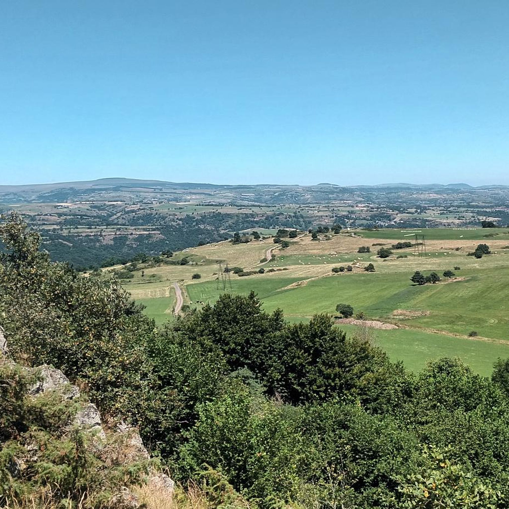
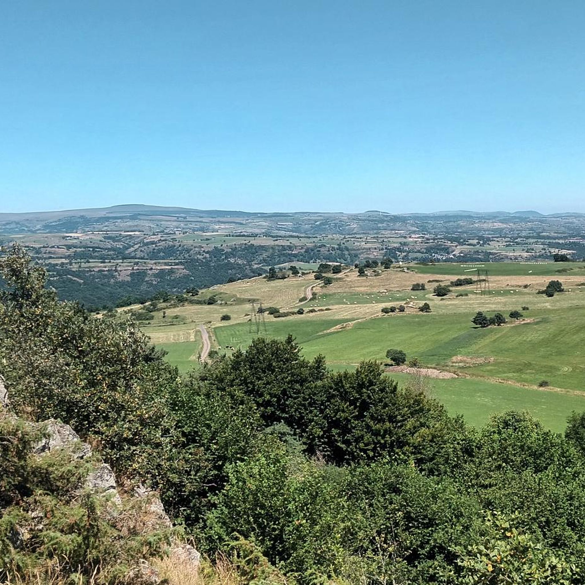
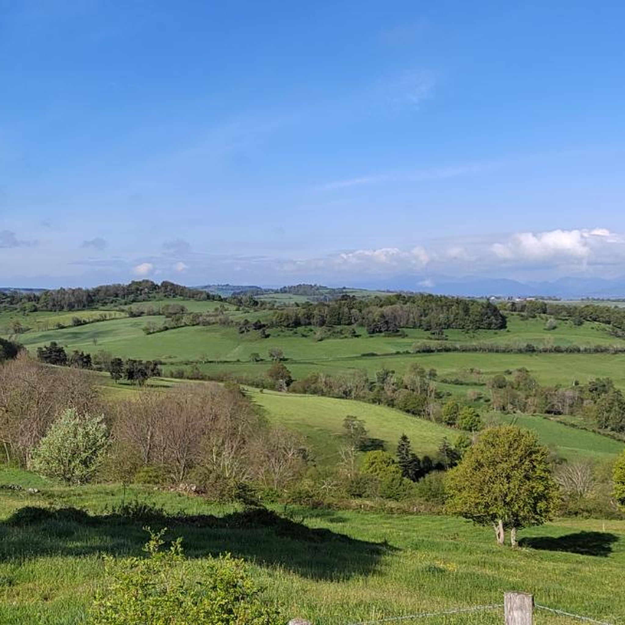

Tips from the Community

Quite a climb up the valley. There's a bit more of a climb after this pass heading north, though.
0
0

From Sagnette, stay on the D39. This climb is 2.4 kilometers long, with a positive elevation gain of 165 meters. The Col de La Griffoul from La Sagnette has an average gradient of 7%. Afterward, let yourself glide into the magnificent Brezons Valley.
0
0

very pretty pass typical of Cezallier
1
0
beautiful in good weather
0
0

Not too difficult, I did it on a mountain bike.
0
0

By bike you can see this castle from different angles. It is worth the detour.
2
0
By bike you can see this castle from different angles. It is worth the detour.
1
0
It's nice to see beautiful Aubrac cows on the side of the road.
2
0
Frequently Asked Questions
How many road cycling routes are available around Ferrières-Saint-Mary?
There are over 50 road cycling routes available around Ferrières-Saint-Mary, offering a wide range of options for different skill levels. These routes are highly rated by the komoot community, with an average score of 4.6 stars.
What kind of terrain can I expect on road cycling routes in Ferrières-Saint-Mary?
The terrain around Ferrières-Saint-Mary is quite diverse, ranging from 658 meters to 1,183 meters in altitude. You'll find flatter sections along the Alagnon river valley, as well as challenging ascents into higher elevations like Mont Journal. The region is characterized by its unique volcanic landscape and verdant forests.
Are there challenging road cycling routes for experienced riders?
Yes, Ferrières-Saint-Mary offers several challenging routes. For instance, the Col de Vestizoux (1317 m) – Chamaroux Pass loop from Molompize is a difficult 91.5 km trail with significant elevation gain, perfect for experienced cyclists looking for a demanding ride through the volcanic landscape.
Are there any moderate road cycling routes with varied scenery?
Absolutely. A popular moderate option is the Col de la Fageole loop from Saint-Mary-le-Plain. This 50.6 km route offers varied terrain and scenic views typical of the Cantal region, making it a great choice for those seeking a balanced ride.
Can I find family-friendly road cycling routes in the area?
While many routes involve elevation, some sections along the Alagnon river valley offer gentler terrain that might be suitable for families. For a moderate ride that passes through picturesque scenery, consider the Beautiful village of Murat – Murat — Medieval Village loop from Ferrières, which is 51.8 km long and takes you through historical villages.
What natural features or landmarks can I see while cycling?
Cyclists can enjoy views of the Alagnon river and its tributaries. The prominent Mont Journal, at 1,183 meters, offers panoramic 360-degree views. You might also encounter the unique geological features of the Cantal volcanic region. For specific points of interest, consider visiting the Babory Waterfall or the Horses grazing by the wayside.
Are there any historical sites along the road cycling routes?
Yes, the region is rich in history. You can encounter the Romanesque church of Saint-Mary-le-Cros, dating back to the 9th century and classified as a Historic Monument. The Beautiful village of Murat – Murat — Medieval Village loop from Ferrières is an excellent route for exploring historical villages and picturesque scenery.
What is the best time of year for road cycling in Ferrières-Saint-Mary?
The best time for road cycling in Ferrières-Saint-Mary is generally during the warmer months, from spring to early autumn. This period offers more favorable weather conditions to enjoy the diverse terrain and scenic beauty of the Cantal department.
Are there circular road cycling routes available?
Yes, many of the routes around Ferrières-Saint-Mary are designed as loops, allowing you to start and end in the same location. Examples include the Col de Vestizoux (1317 m) – Chamaroux Pass loop from Molompize and the Col de la Fageole loop from Saint-Mary-le-Plain.
What do other road cyclists enjoy most about the routes here?
The road cycling routes in Ferrières-Saint-Mary are highly rated by the komoot community, with an average score of 4.6 stars from over 15 reviews. Cyclists often praise the varied terrain, from river valleys to challenging volcanic ascents, and the breathtaking scenery through a unique geological formation.
Where can I find parking for road cycling routes in Ferrières-Saint-Mary?
While specific parking areas for each route are not detailed, Ferrières-Saint-Mary is a commune with various starting points. It's advisable to check the specific route details on komoot for suggested parking locations near the start of your chosen tour. Many routes begin from villages like Molompize or Saint-Mary-le-Plain, where public parking may be available.
Are there any attractions nearby if I want to take a break from cycling?
Yes, beyond cycling, you can explore local attractions. The Romanesque church of Saint-Mary-le-Cros is a notable historical site. For a unique natural feature, the Grotte du Cuze in Charmensac offers a short walk to a cave formed by ancient volcanic activity. You could also visit Sailhant Castle or the charming settlement of Allanche.
Most popular attractions around Ferrières-Saint-Mary

Get inspired with the komoot mobile app


Explore more
Browse the best Road cycling routes in other regions.
