The best running trails around Hintertiefenbach
4.2
(92)
1,276
runners
112
runs
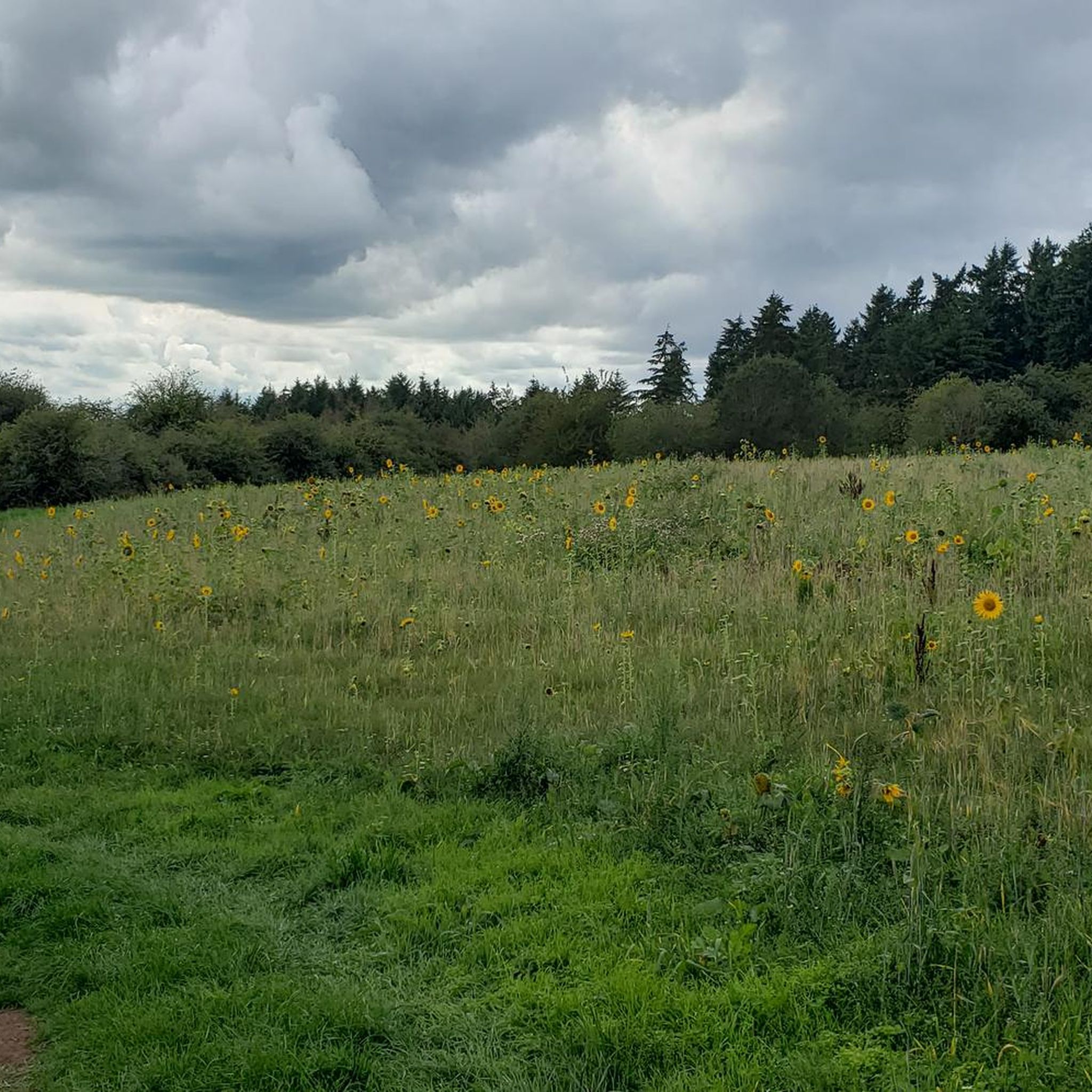
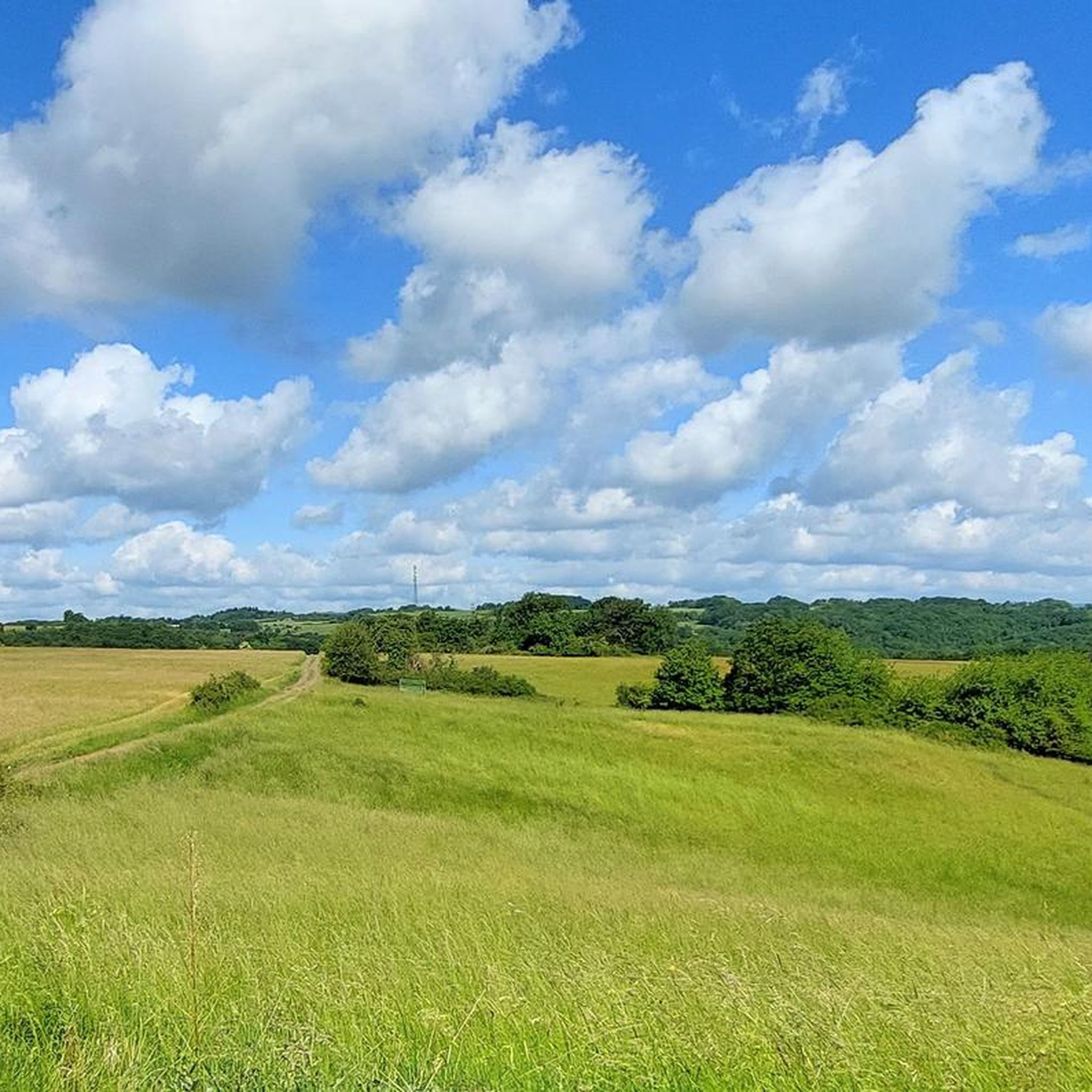
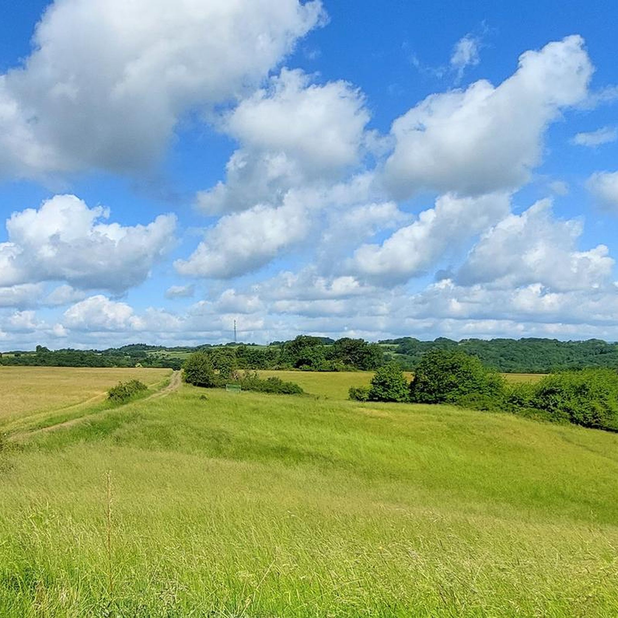
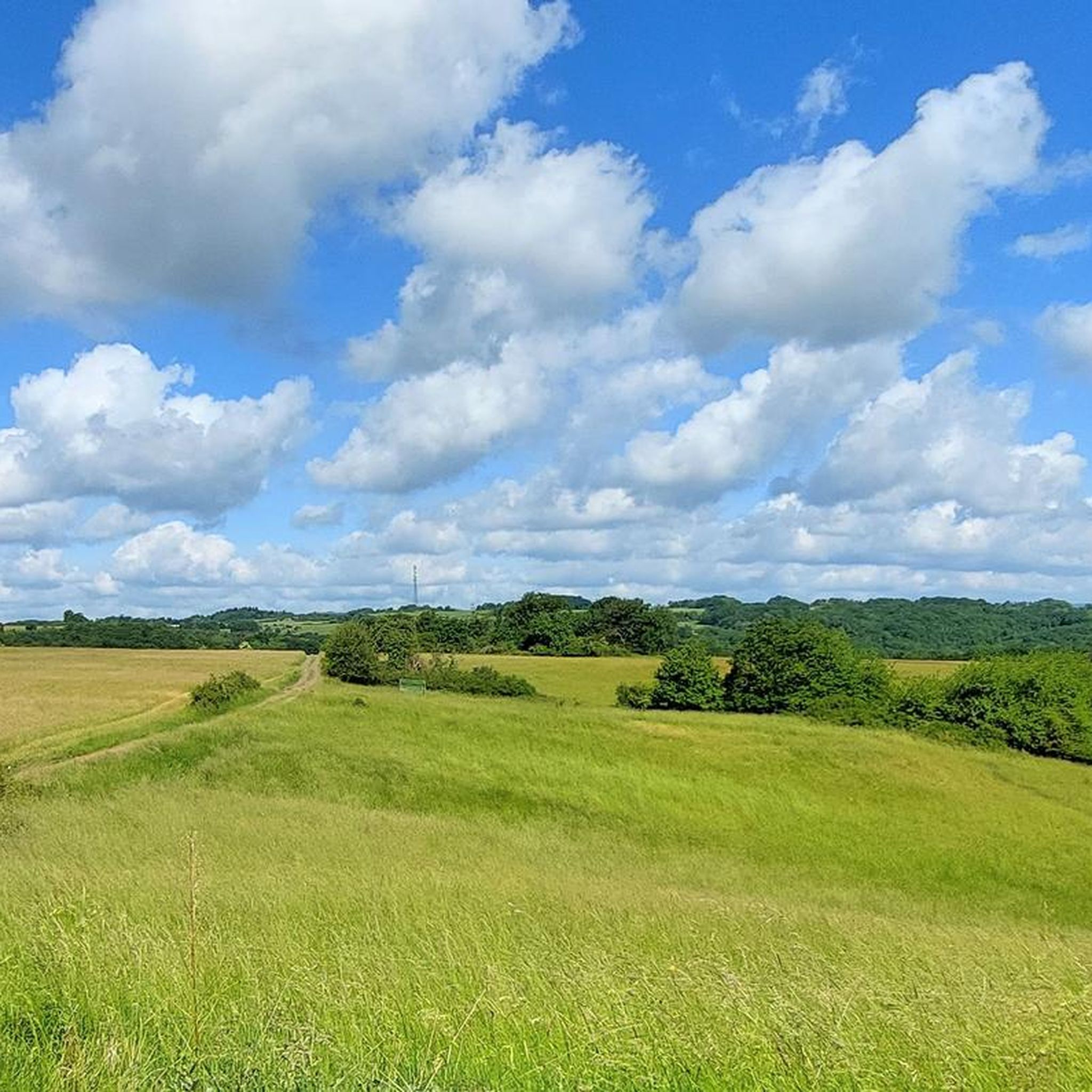
Jogging routes around Hintertiefenbach traverse the picturesque Hunsrück region in Germany's Rhineland-Palatinate. This area is characterized by rolling hills, dense forests, and clear streams, providing a varied landscape for runners. The terrain includes woodlands, open fields, and river valleys, with some routes offering panoramic views over the Nahe valley. The region's natural features contribute to an invigorating environment suitable for outdoor exercise.
Best jogging routes around Hintertiefenbach
- The most popular jogging route is Forest Path to Struth loop from Gefallener…
Last updated: September 29, 2026
31
runners
16.8km
01:49
290m
290m
Hard run. Very good fitness required. Mostly paved surfaces. Suitable for all skill levels.
14
runners
Moderate run. Good fitness required. Mostly accessible paths. Some sure footedness required.

16
runners
19.2km
02:05
160m
170m
Hard run. Very good fitness required. Mostly paved surfaces. Suitable for all skill levels.
9
runners
7.60km
00:51
170m
170m
Moderate run. Good fitness required. Mostly paved surfaces. Suitable for all skill levels.
4.0
(1)
11
runners
Moderate run. Good fitness required. Mostly paved surfaces. Suitable for all skill levels.
Get access to more routes and recommendations from other explorers.
Already have an account?
Our route recommendations are based on thousands of hikes, rides, and runs completed by other people on komoot.
Start today with a free account
Your next adventure awaits.

Tips from the Community


From the old town, you can see the remains of Oberstein Castle steeply upwards.
0
0
very unusual church location!
0
0

Nice, with a refreshing fountain. But unfortunately a lot of vacant space
0
0
Frequently Asked Questions
How many running routes are available around Hintertiefenbach?
Komoot offers over 120 diverse running routes around Hintertiefenbach. These range from easy paths to more challenging trails, ensuring options for all fitness levels.
What kind of terrain can I expect on jogging trails in Hintertiefenbach?
The jogging trails in Hintertiefenbach traverse the picturesque Hunsrück region, featuring a varied landscape of rolling hills, dense forests, and clear streams. You'll find a mix of woodlands, open fields, and river valleys, with some routes offering breathtaking panoramic views over the Nahe valley.
Are there any easy running routes suitable for beginners or families?
Yes, there are 12 easy running routes around Hintertiefenbach. These paths are generally flatter and shorter, ideal for beginners or those looking for a more relaxed jog. For example, the region offers nature trails perfect for exploring local flora and fauna at a leisurely pace.
Are there any challenging running routes for experienced runners?
Absolutely. Hintertiefenbach offers 19 difficult running routes with significant elevation changes, perfect for experienced runners seeking a challenge. The Forest Path to Struth loop from Gefallener Felsen is one such difficult trail, featuring natural paths through dense forests and open landscapes.
What do other runners enjoy most about the trails in Hintertiefenbach?
The running routes in Hintertiefenbach are highly rated by the komoot community, with an average score of 4.4 stars from over 75 reviews. Runners often praise the varied terrain, the invigorating natural environment, and the well-maintained paths that wind through forests and offer scenic views.
Are there any circular running routes in the area?
Yes, many of the running routes around Hintertiefenbach are circular, allowing you to start and finish at the same point. A popular moderate option is the Barrier at Wassergall – View of Hintertiefenbach loop from Hintertiefenbach, which winds through woodlands and open fields.
Can I find running routes with good viewpoints?
Yes, the region is known for its 'breathtaking panoramic views' over valleys, especially along higher trails. Many routes, particularly those in the Hunsrück, offer spectacular vistas. The Barrier at Wassergall – View of Hintertiefenbach loop from Hintertiefenbach provides excellent views of the surrounding area.
What are some interesting landmarks or attractions I might see along the running routes?
While running, you might encounter several points of interest. The historic Historic Old Town of Herrstein or the impressive Kyrburg Castle are nearby. For natural beauty, consider routes near the Trübenbach Waterfall or the Katzenloch Waterfall.
When is the best time of year for jogging in Hintertiefenbach?
The pleasant temperatures in spring and autumn are ideal for outdoor activities like jogging in Hintertiefenbach. During these seasons, the landscape displays vibrant colors, making for a particularly scenic experience.
Are there any specific long-distance trails that pass through Hintertiefenbach suitable for extended runs?
Yes, the Saar-Hunsrück Climb, a long-distance hiking trail spanning approximately 410 kilometers, passes through Hintertiefenbach. Sections of this trail offer varied landscapes and spectacular viewpoints, making them excellent for longer running sessions.
Are there any running routes that pass by water features like streams or lakes?
Yes, the region is characterized by clear streams such as the Hintertiefenbach stream and its tributaries. Additionally, there is an idyllic lake surrounded by forests near Hintertiefenbach, offering scenic areas for running alongside water.
Are there any moderate running options for those looking for a balanced challenge?
Indeed, the majority of routes, 91 out of 122, are classified as moderate. These trails offer a balanced challenge with some elevation changes but are generally less demanding than the difficult routes. The Running loop from Nahbollenbach is a great moderate option.
Most popular routes around Hintertiefenbach
Most popular attractions around Hintertiefenbach

Get inspired with the komoot mobile app


Explore more
Browse the best Running Trails & Routes in other regions.
