The best cycling routes around Hintertiefenbach
4.5
(1946)
8,559
riders
471
rides
Touring cycling routes around Hintertiefenbach traverse the diverse landscapes of the Naheland area in Rhineland-Palatinate, Germany. The region features rolling hills, dense forests, and the scenic Nahe valley, providing varied terrain for cyclists. Routes often follow watercourses and ascend into the Hunsrück mountains, offering panoramic views. This area provides a well-developed cycling infrastructure.
Best touring cycling routes around Hintertiefenbach
- The most popular touring cycling route is Veitsrodter Weiher – Sportheim Veitsrodt Rest Area loop from Vollmersbach, a 36.6 miles…
Last updated: October 3, 2026
5.0
(10)
72
riders
58.9km
05:41
1,390m
1,390m
Hard bike ride. Very good fitness required. You may need to push your bike for some segments of this route.
2.3
(3)
20
riders
13.8km
00:54
100m
100m
Easy bike ride. Great for any fitness level. Mostly paved surfaces. Suitable for all skill levels.

14
riders
8.49km
00:35
80m
80m
Easy bike ride. Great for any fitness level. Mostly paved surfaces. Suitable for all skill levels.
5.0
(2)
8
riders
21.0km
01:36
380m
380m
Moderate bike ride. Good fitness required. Mostly paved surfaces. Suitable for all skill levels.
12
riders
Moderate bike ride. Good fitness required. Mostly paved surfaces. Suitable for all skill levels.
Get access to more routes and recommendations from other explorers.
Already have an account?
Our route recommendations are based on thousands of hikes, rides, and runs completed by other people on komoot.
Start today with a free account
Your next adventure awaits.
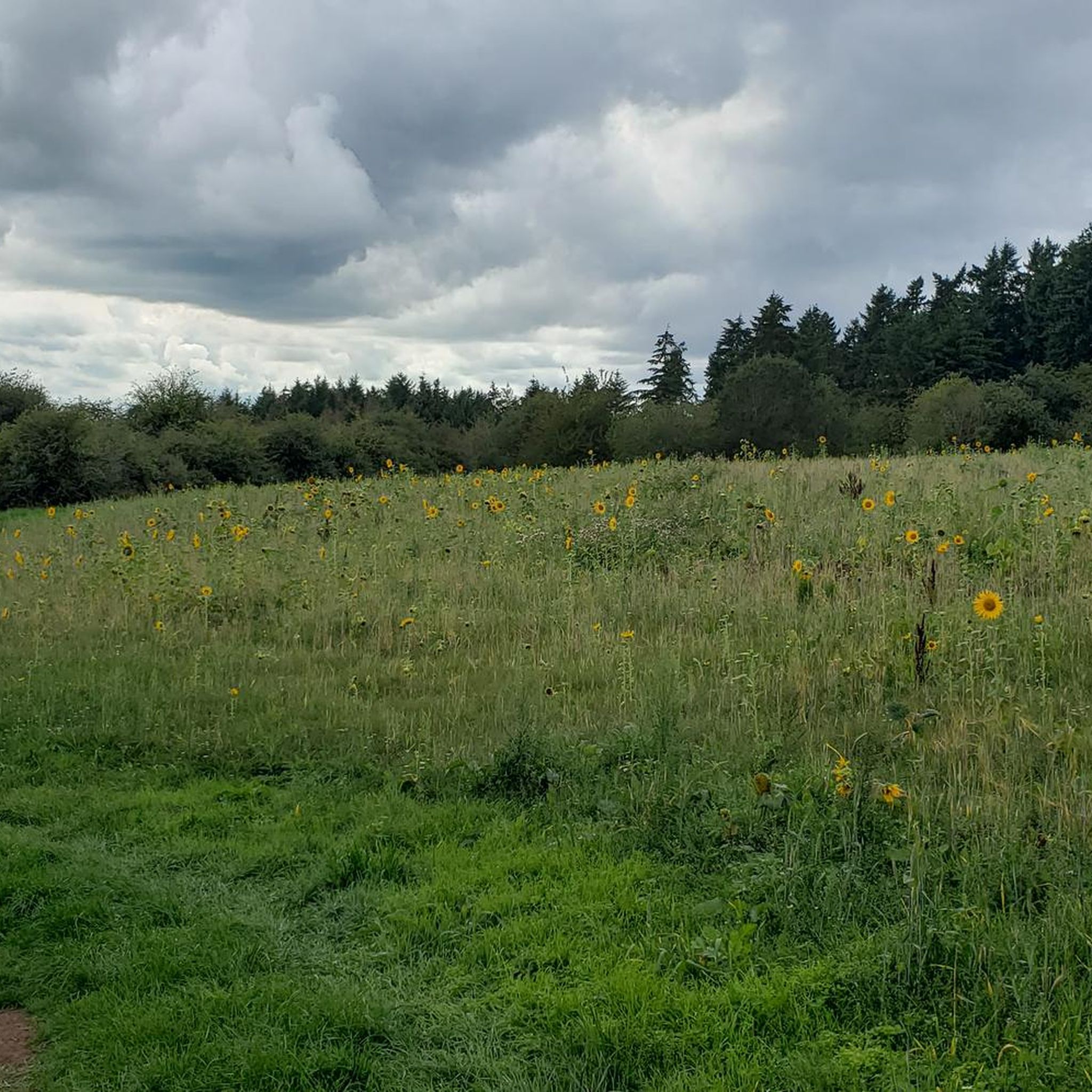
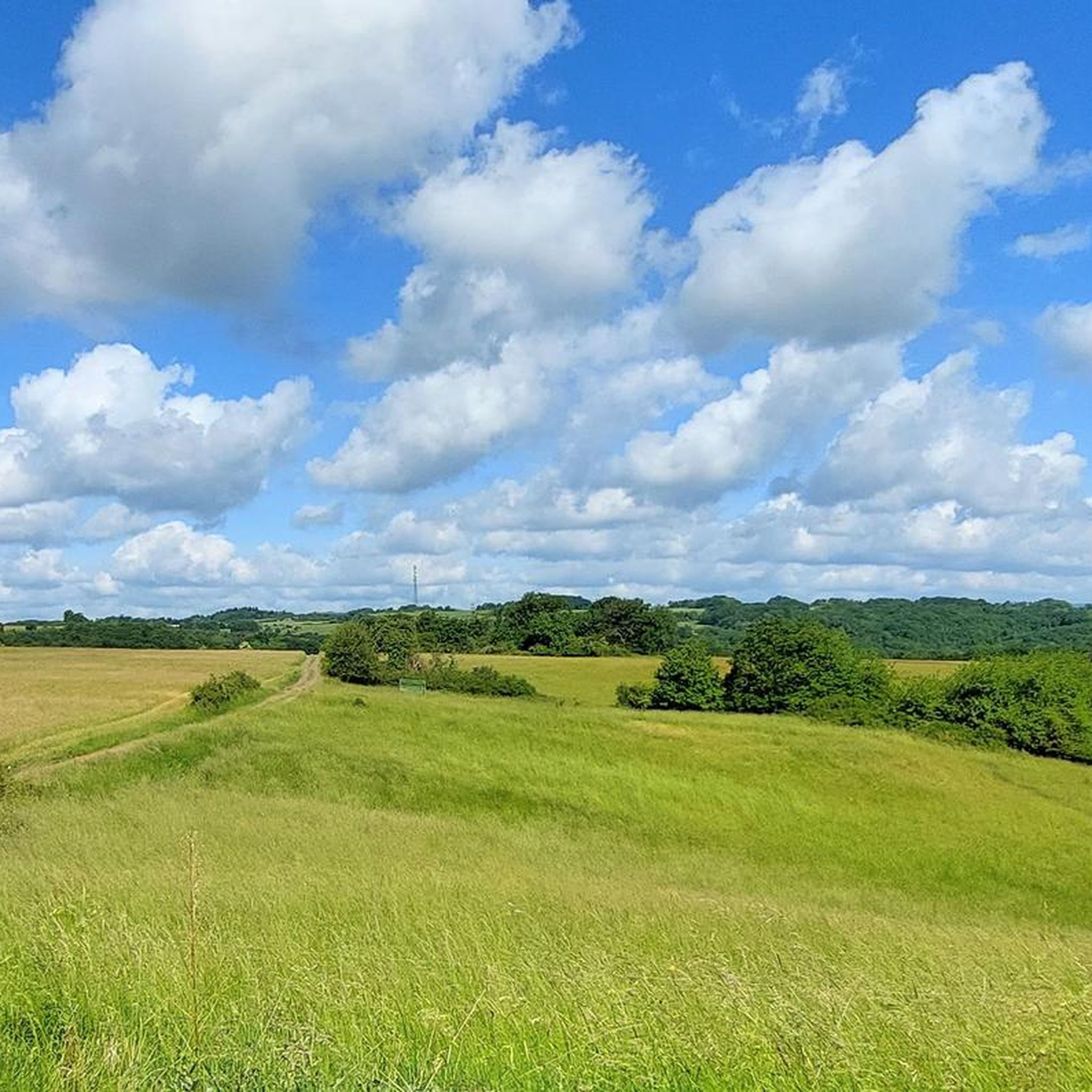
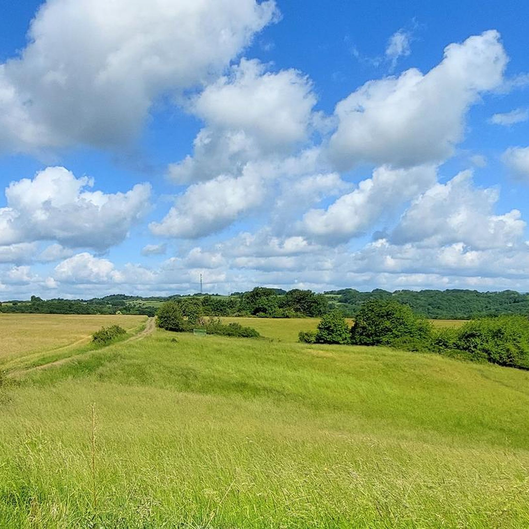
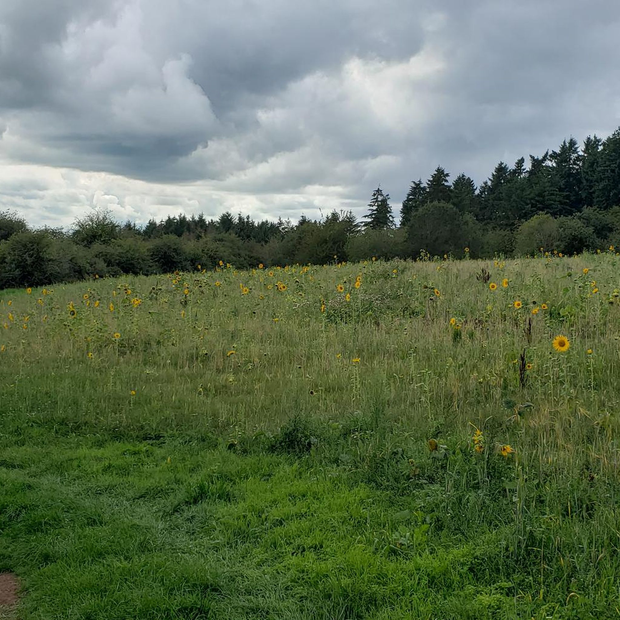

Tips from the Community

Really nicely done with a hut and barbecue area
0
0
Very nice clubhouse with plenty of space and parking options
0
0
Nice easy trail leads through the forest here
0
0
With frost, it surely looks great all around the plants
0
0
Beautiful amidst forest and meadow
0
0
The hilly landscape is wonderfully beautiful
0
0
Luckily there was no frost today
0
0

There are even clean and free toilets
0
0
Frequently Asked Questions
How many touring cycling routes are available around Hintertiefenbach?
There are nearly 500 touring cycling routes around Hintertiefenbach, offering a wide variety of options for all skill levels. This includes over 50 easy routes, nearly 200 moderate routes, and around 245 difficult routes for more experienced cyclists.
What kind of landscapes can I expect to see while cycling in Hintertiefenbach?
The region around Hintertiefenbach is characterized by diverse landscapes, including rolling hills, dense forests, and the scenic Nahe valley. You'll also find idyllic lakes and streams, and routes often ascend into the Hunsrück mountains, providing panoramic views across the countryside and wine-growing regions.
Are there any easy touring cycling routes suitable for beginners?
Yes, there are over 50 easy touring cycling routes around Hintertiefenbach. A good option for beginners is the Frost-Covered Road Near Reelse loop from Göttschied, which is 8.5 km long and leads through gentle terrain, typically completed in about 35 minutes.
What are some notable landmarks or attractions I can visit along the cycling routes?
Many routes pass by interesting landmarks. For example, the Idar-Oberstein Rock Church – Idar-Oberstein Rock Church loop from Idar-Oberstein offers scenic views around this notable landmark. You can also find natural attractions like the Trübenbach Waterfall or the Katzenloch Waterfall, which are accessible from various routes.
Are there any challenging routes for experienced touring cyclists?
Absolutely. The region offers around 245 difficult routes. A particularly challenging option is the Veitsrodter Weiher – Sportheim Veitsrodt Rest Area loop from Vollmersbach, a 58.9 km trail with significant elevation changes through forests and open landscapes, taking over 5 hours to complete.
What do other touring cyclists say about the routes in Hintertiefenbach?
The touring cycling routes in Hintertiefenbach are highly rated by the komoot community, with an average score of 4.5 stars from over 1700 reviews. Cyclists often praise the varied terrain, from rolling hills to dense forests, and the well-developed cycling infrastructure that makes exploring the Naheland area enjoyable.
Are there any circular touring cycling routes available?
Yes, many touring cycling routes around Hintertiefenbach are designed as loops. Examples include the Eulenbrunnen – Bergmannsdenkmal Fischbach loop from Vollmersbach, a moderate 20.9 km route, and the Idar-Oberstein Station Square – Idar-Oberstein Town Hall loop from Vollmersbach, which is 12.1 km long.
When is the best time of year to go touring cycling in Hintertiefenbach?
The best seasons for touring cycling in Hintertiefenbach are spring and autumn. During these times, temperatures are mild, and the landscape is particularly vibrant, offering beautiful scenery without the extreme heat of summer or the cold of winter.
Are there long-distance cycle paths that pass through or near Hintertiefenbach?
Yes, the region is well-connected to longer cycle paths. The Nahe Cycle Path, for instance, accompanies cyclists for 130 km from its source to the Rhine, passing through historic villages and wine-growing regions. The Nahe-Hunsrück-Mosel Cycle Path also connects the Nahe and Moselle rivers over 87 km, spanning the Hunsrück low mountain range.
Are there any routes suitable for e-bikes, especially those with panoramic views?
Yes, the varied topography of the region makes it suitable for e-bikes, especially on routes with significant elevation changes. The Panoramic Tour on the Sun Plateau, a roughly 40 km route in EdelSteinLand, offers dreamlike views from the plateau heights and is particularly recommended for e-bike users.
What kind of infrastructure can I expect for cyclists in the Hintertiefenbach area?
Hintertiefenbach and the surrounding EdelSteinLand boast a comprehensive network of cycling routes. The area features well-developed cycling infrastructure and numerous dedicated cycle paths, enhancing the experience for touring cyclists of all levels.
Most popular routes around Hintertiefenbach
Most popular attractions around Hintertiefenbach

Get inspired with the komoot mobile app


Explore more
Browse the best Cycling routes in other regions.
