The best traffic-free bike rides around Hintertiefenbach
4.3
(3)
22
riders
4
rides
No traffic gravel bike trails around Hintertiefenbach traverse the Hunsrück region, characterized by rolling hills, dense forests, and clear streams. The area offers a varied terrain with a mix of paved and unpaved paths, often utilizing old railway lines and forest tracks. This landscape provides both challenging ascents and scenic routes for gravel biking. The region's geographical features create a dynamic environment for cyclists seeking immersive outdoor experiences.
Best no traffic gravel bike trails around Hintertiefenbach
- The most popular no…
Last updated: October 1, 2026
5.0
(1)
2
riders
Hard gravel ride. Very good fitness required. Mostly paved surfaces. Suitable for all skill levels.
3
riders
25.8km
01:49
440m
440m
Moderate gravel ride. Good fitness required. Mostly paved surfaces. Suitable for all skill levels.

5
riders
Hard gravel ride. Very good fitness required. Mostly paved surfaces. Suitable for all skill levels.
1
riders
80.2km
05:28
1,360m
1,360m
Hard gravel ride. Very good fitness required. Mostly paved surfaces. Suitable for all skill levels.
3
riders
62.3km
04:03
860m
850m
Hard gravel ride. Very good fitness required. You may need to push your bike for some segments of this route.
Our route recommendations are based on thousands of hikes, rides, and runs completed by other people on komoot.
Start today with a free account
Your next adventure awaits.
Popular around Hintertiefenbach
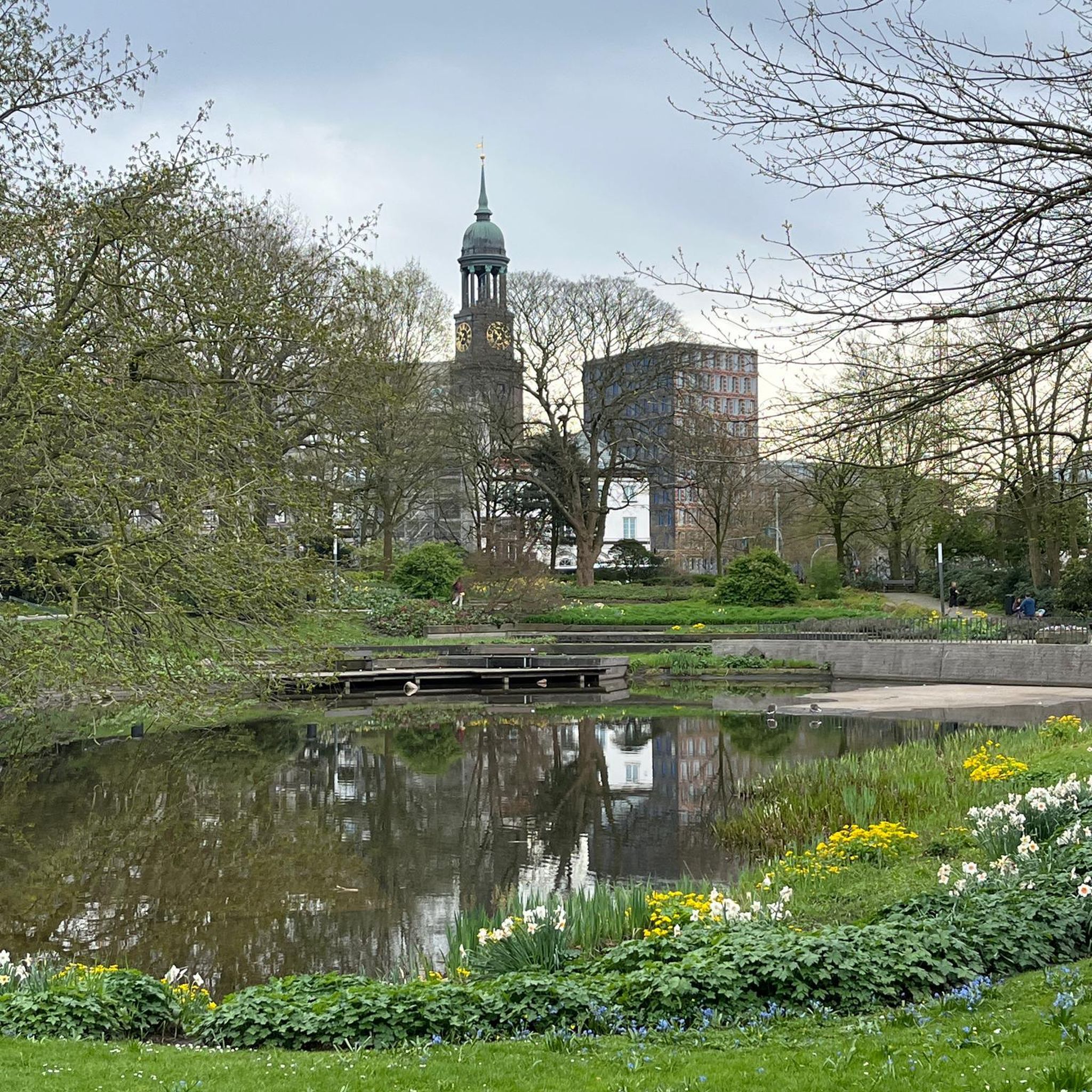
Tips from the Community

Good place to take a break.
0
0
Beautiful cycle path along the stream.
0
1


From the old town, you can see the remains of Oberstein Castle steeply upwards.
0
0
very unusual church location!
0
0
When you are in IO, you get to know many different perspectives of the church
0
0
Nice when you walk down the FGZ and the panorama opens up :-D
0
0
Unfortunately, only visitable by booking
0
0
Frequently Asked Questions
What kind of terrain can I expect on no-traffic gravel bike trails around Hintertiefenbach?
The Hintertiefenbach region, nestled in the Hunsrück, offers a diverse mix of terrain perfect for gravel biking. You'll encounter rolling hills, dense forests, and clear streams, often utilizing old railway lines and forest tracks. Expect a blend of paved and unpaved paths, providing both challenging ascents and scenic descents through varied landscapes.
Are there any easy or beginner-friendly no-traffic gravel bike routes in the area?
While the region is known for its challenging and dynamic environment, many routes cater to experienced riders. The trails listed in this guide, such as The new Idarkopf Tower – View from the Idarkopf loop from Hottenbach, are generally rated as moderate to difficult due to significant elevation changes and longer distances. Beginners might find these routes demanding, but the scenic beauty makes the effort worthwhile.
What are the typical distances and durations for no-traffic gravel bike tours near Hintertiefenbach?
The no-traffic gravel bike tours in this guide vary significantly in length and duration. For instance, you can find routes like The new Idarkopf Tower – View from the Idarkopf loop from Hottenbach, which is about 25.7 km and takes around 1 hour 50 minutes, or longer, more challenging options such as Antestal Trail Entrance – Eselbrücke Kohlenhütte loop from Fischbach-Weierbach, spanning over 80 km and requiring more than 5 hours of riding.
What kind of natural features or viewpoints can I discover along these routes?
The region is rich in natural beauty. You'll find breathtaking panoramic views from various points, especially along routes that traverse the Hunsrück-Höhenweg or Saar-Hunsrück Climb. The View of Steinbach Reservoir is a notable highlight. The dense forests and clear streams also provide serene backdrops throughout your ride.
Are there any historical landmarks or attractions accessible from the gravel bike trails?
While the focus is on natural beauty, the broader region offers historical points of interest. You can find highlights like the Historic Weiherschleife Gemstone Grinding Mill, or explore castles such as Kyrburg Castle and Oberstein Castle, which are often within reach of the gravel biking network.
What is the best time of year to go gravel biking in Hintertiefenbach?
The Hunsrück region is beautiful year-round, but spring and autumn offer particularly pleasant conditions for gravel biking. The mild temperatures and vibrant foliage make for stunning rides. Summer can be great, but be prepared for warmer weather. Winter riding is possible, but trails might be muddy or icy, especially in higher elevations.
Are there any circular gravel bike routes available?
Yes, all the no-traffic gravel bike routes featured in this guide are designed as circular loops. This allows for convenient planning, as you can start and end your ride at the same point. Examples include Eselbrücke Kohlenhütte – Antestal Trail Entrance loop from Fischbach-Weierbach.
What do other gravel bikers enjoy most about the trails in Hintertiefenbach?
The area is highly rated by the komoot community, with an average score of 4.3 stars. Reviewers often praise the quiet, traffic-free nature of the trails, the immersive experience through dense forests, and the rewarding panoramic views after challenging climbs. The diverse terrain and natural beauty are frequently highlighted as major draws.
Are the no-traffic gravel bike trails in Hintertiefenbach suitable for families?
Given that most routes in this guide are rated as moderate to difficult with significant elevation, they might be challenging for younger children or families seeking very easy, flat rides. However, families with older, experienced riders who enjoy a good climb and varied terrain will appreciate the adventure and the absence of vehicle traffic.
Where can I find places to relax or eat after a ride?
The region offers various spots for relaxation. You might find idyllic lakes, such as Kallwies Pond (Weiherschleife) or Schlossweiher, perfect for unwinding. For refreshments, the Harfenmühle Campsite and Restaurant is a known facility in the area, and local villages often have traditional pubs or cafes.
Is there parking available near the starting points of these gravel bike trails?
Yes, many trailheads and villages in the Hintertiefenbach region offer designated parking areas, making it convenient to access the no-traffic gravel bike routes. It's always advisable to check the specific route details on komoot for recommended starting points and parking information.
Most popular routes around Hintertiefenbach
Most popular attractions around Hintertiefenbach

Get inspired with the komoot mobile app


Explore more
Browse the best Gravel rides in other regions.
