The best walks and hikes in Landkreis Miesbach
4.5
(62461)
352,192
hikers
2,526
hikes
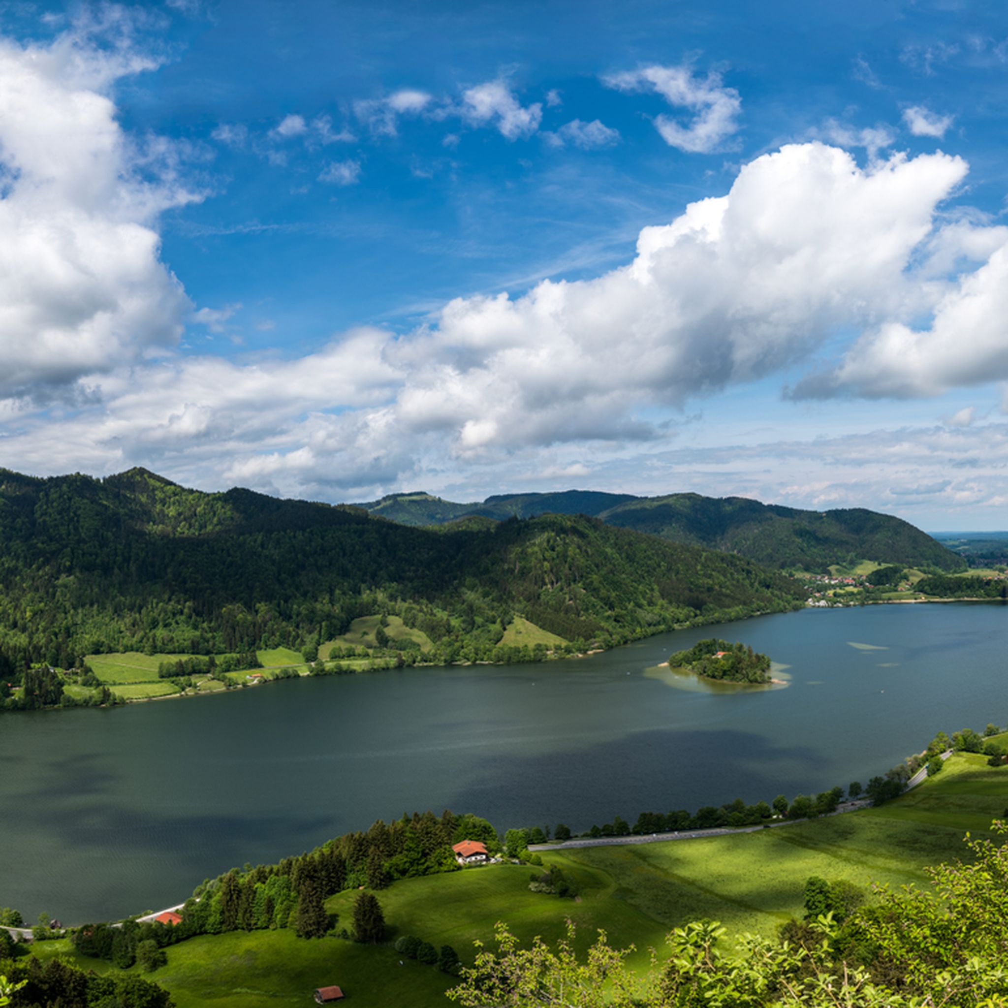
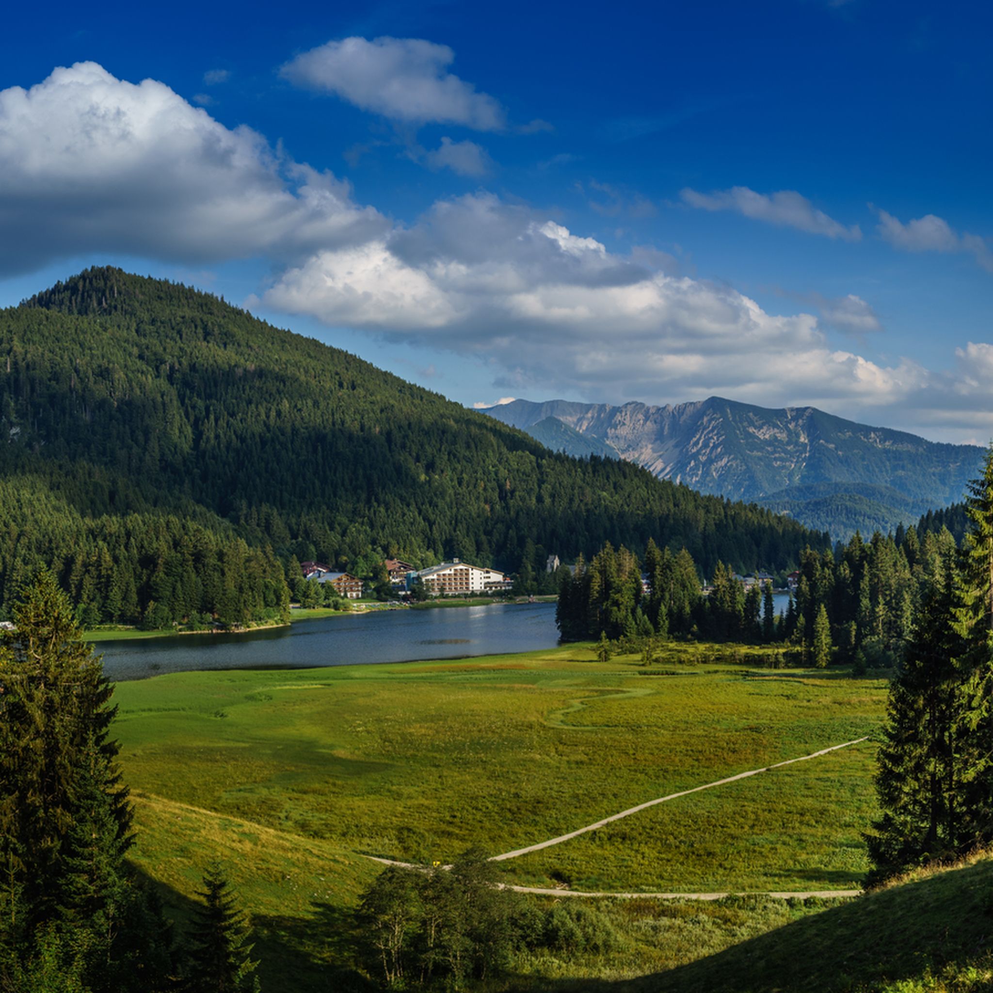
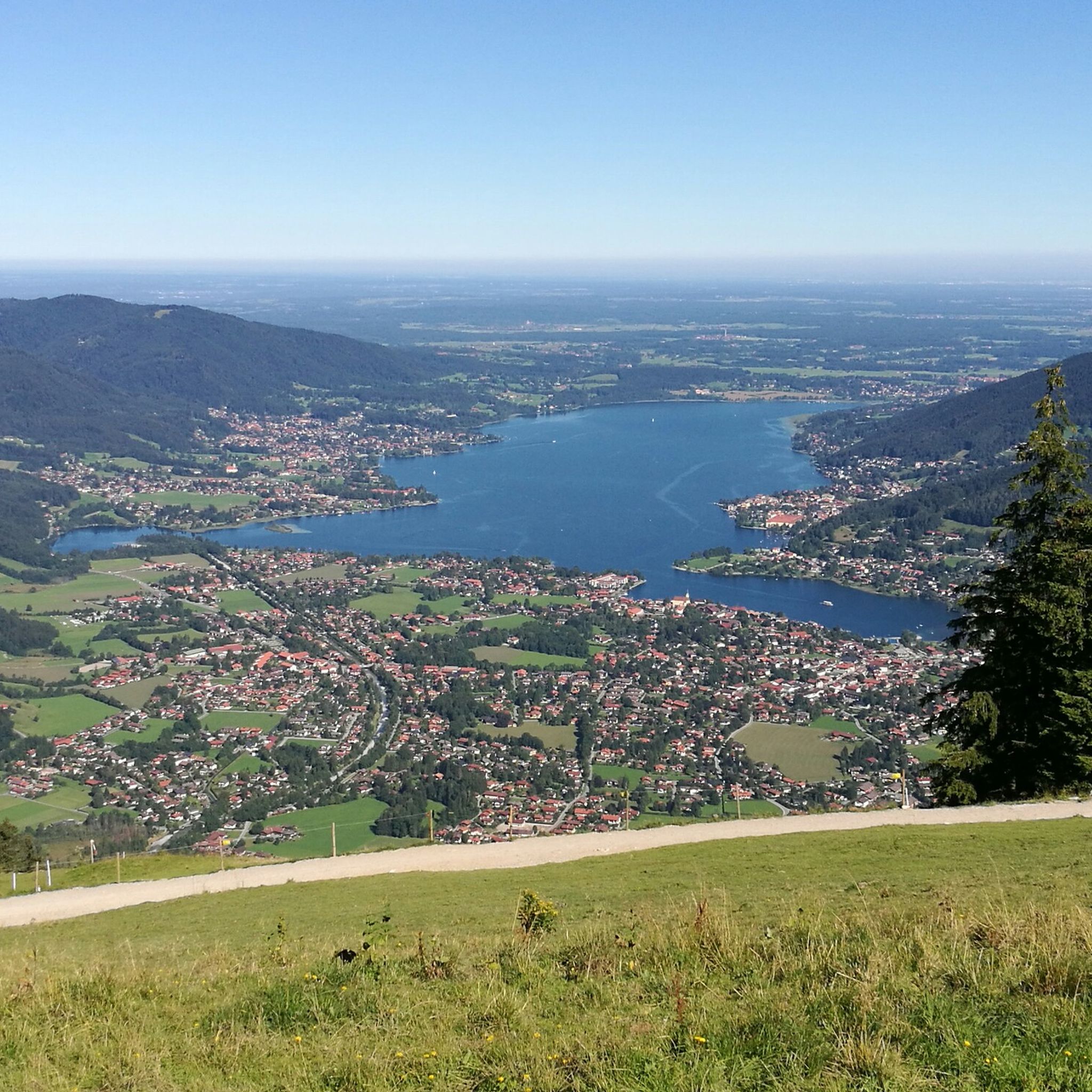
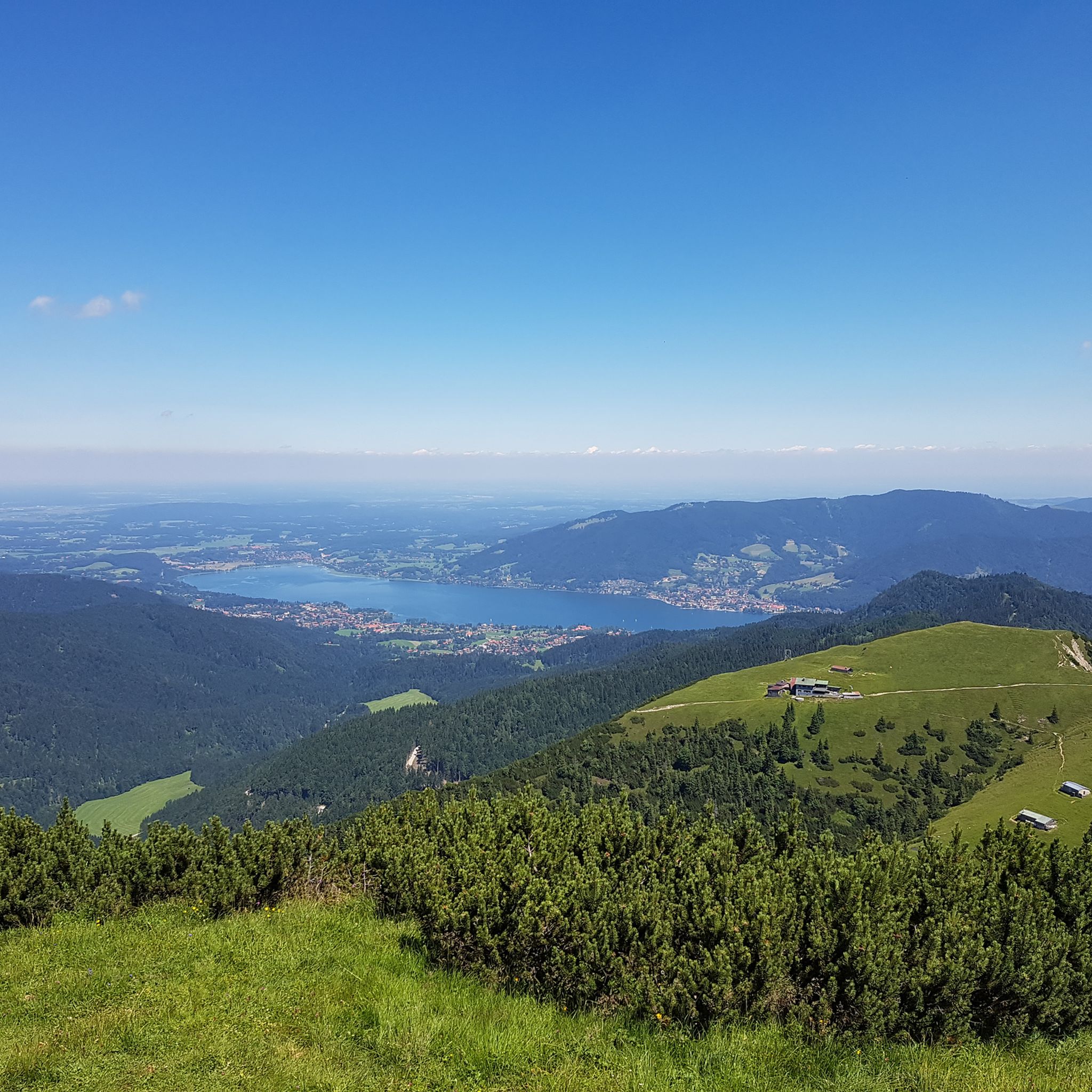
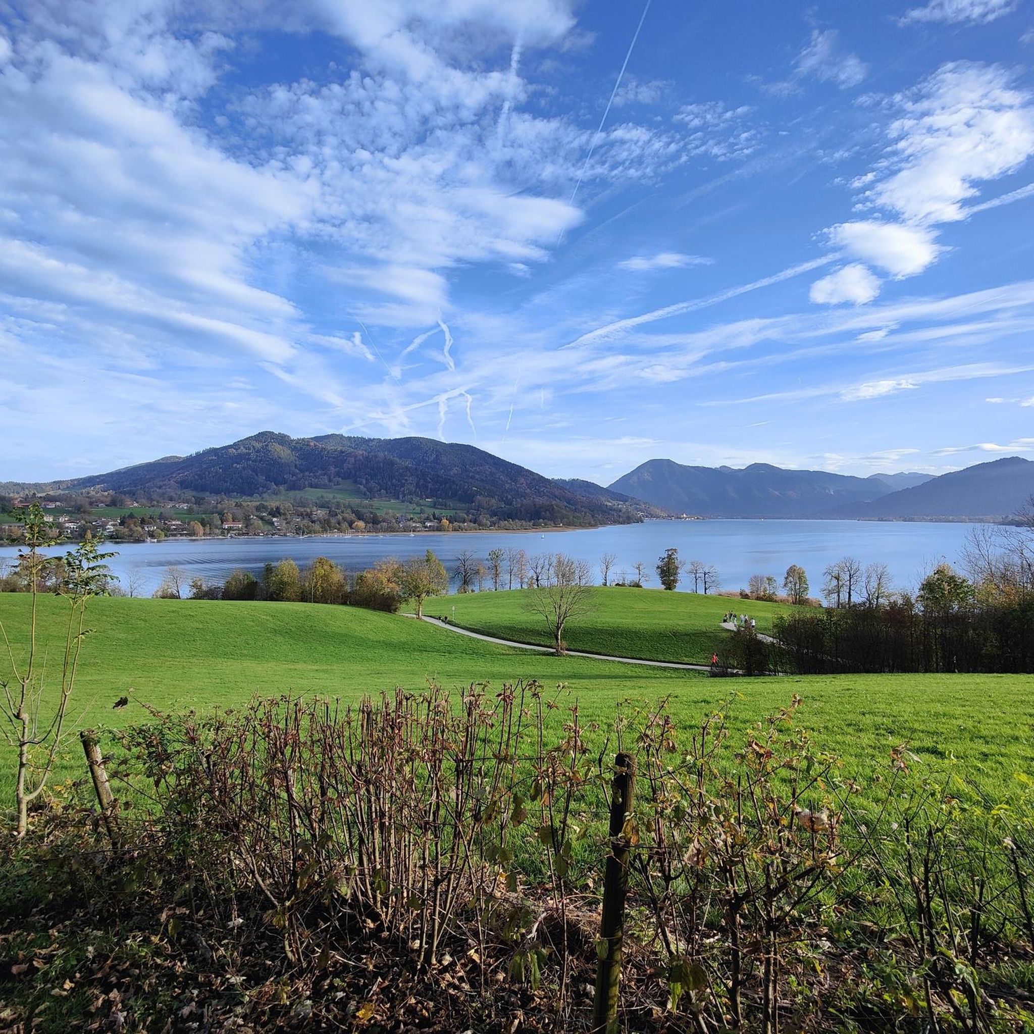
Hiking in Landkreis Miesbach offers diverse landscapes in the Bavarian Oberland, characterized by the Northern Limestone Alps, pre-Alpine hills, and parts of the Munich plain. The region features numerous mountain peaks, prominent lakes like Tegernsee and Schliersee, and extensive alpine meadows and forests. This topography provides a variety of natural features for outdoor activities, including rivers and moors.
Best hiking trails in Landkreis Miesbach
- The most popular hiking route is Root Path Ascent – Neureuth Alpine Pastures loop from Tegernsee…
Last updated: July 8, 2026
4.6
(504)
2,700
hikers
5.40km
02:00
360m
360m
Moderate hike. Good fitness required. Easily-accessible paths. Suitable for all skill levels.
4.6
(358)
2,470
hikers
Moderate hike. Good fitness required. Mostly accessible paths. Sure-footedness required.

Sign up for free
4.7
(394)
1,998
hikers
Moderate hike. Good fitness required. Mostly accessible paths. Sure-footedness required.
4.7
(266)
1,532
hikers
6.93km
03:07
520m
520m
Moderate hike. Good fitness required. Mostly accessible paths. Sure-footedness required.
4.7
(277)
1,131
hikers
9.31km
03:00
380m
380m
Moderate hike. Good fitness required. Mostly accessible paths. Sure-footedness required.
4.6
(549)
2,409
hikers
21.9km
05:43
160m
160m
Hard hike. Very good fitness required. Easily-accessible paths. Suitable for all skill levels.
4.9
(328)
1,805
hikers
Hard hike. Very good fitness required. Sure-footedness, sturdy shoes and alpine experience required.
4.8
(313)
1,599
hikers
16.6km
06:49
900m
910m
Hard hike. Very good fitness required. Mostly accessible paths. Sure-footedness required.
4.7
(477)
2,268
hikers
8.38km
02:34
290m
290m
Moderate hike. Good fitness required. Easily-accessible paths. Suitable for all skill levels.
4.8
(494)
2,360
hikers
10.0km
04:49
850m
850m
Hard hike. Good fitness required. Sure-footedness, sturdy shoes and alpine experience required.
Get access to more routes and recommendations from other explorers.
Sign up for free
Already have an account?
Our route recommendations are based on thousands of hikes, rides, and runs completed by other people on komoot.
Start today with a free account
Your next adventure awaits.
Login or Signup
Other adventures in Landkreis Miesbach


Tips from the Community

Magnificent view of the Spitzingsee
0
0

A very beautiful and well-known place with a very beautiful view. However, it is often overcrowded.
1
0

Riederstein Chapel with great view
1
0

It is still intact
0
0
Really cool there 👉
0
0

I'll be at Tegernsee from March 31st to April 21st. Anyone fancy joining me for a trip? 😊
0
0
Here you can enjoy beautiful views and vistas at any time of year. It's especially lovely and highly recommended very early in the morning.
1
0
A view of the Riederstein with its chapel is always a welcome sight.
1
0
Frequently Asked Questions
How many hiking trails are available in Landkreis Miesbach?
Landkreis Miesbach offers a vast network of over 2,400 hiking trails. These routes cater to all fitness levels, ranging from easy strolls to moderate and challenging mountain ascents, ensuring there's something for everyone.
What kind of terrain can I expect on hikes in Landkreis Miesbach?
The region features diverse terrain, from the majestic Northern Limestone Alps and numerous mountain peaks like Wallberg and Hirschberg, to pre-Alpine hills, extensive alpine meadows, and dense forests. You'll also find picturesque lakes such as Tegernsee, Schliersee, and Spitzingsee, as well as rivers and moors, providing varied and scenic landscapes.
Are there challenging hikes for experienced hikers in Landkreis Miesbach?
Yes, for experienced hikers, Landkreis Miesbach offers over 350 difficult routes. Trails like the View of the Taubenstein – View of Rotwand loop from Spitzingsee or the Aueralm Alpine Hut – Fockenstein Summit loop from Bad Wiessee provide significant elevation gain and stunning panoramic views, requiring good fitness and alpine experience.
Are there easy, family-friendly hiking options in Landkreis Miesbach?
Absolutely. With over 1,100 easy routes, Landkreis Miesbach is ideal for families. The View of the Spitzingsee – Lake Spitzing loop from Spitzingsee is a popular, easy 1.5-hour loop walk around the lake, offering beautiful views and refreshment stops. Many trails are well-suited for all skill levels.
What natural attractions or landmarks can I see along the hiking trails?
Landkreis Miesbach is rich in natural beauty. You can discover impressive gorges like the Hirschbach Valley and Weissach Gorge. Don't miss the beautiful Josefsthal Waterfalls near Schliersee or the Große Wolfschlucht Waterfall. The region also features several caves, including the Leonhard Pöttinger Memorial Cave.
Are there circular hiking routes in Landkreis Miesbach?
Yes, many trails in Landkreis Miesbach are designed as circular routes, allowing you to start and end at the same point. Examples include the Root Path Ascent – Neureuth Alpine Pastures loop from Tegernsee and the Summit cross on Gindelalmschneid – Neureuth Alpine Pastures loop from Tegernsee, both offering scenic loops around the Tegernsee area.
What is the best time of year to go hiking in Landkreis Miesbach?
The hiking season in Landkreis Miesbach generally runs from spring to autumn, offering pleasant temperatures and vibrant landscapes. Spring brings blooming alpine meadows, while autumn showcases stunning fall foliage. Some lower-altitude trails around the lakes, like the Tegernseer Höhenweg, are accessible year-round, even for winter hiking.
Are there dog-friendly hiking trails in Landkreis Miesbach?
Many trails in Landkreis Miesbach are suitable for hiking with dogs, especially those through forests and alpine meadows. It's always advisable to keep dogs on a leash, particularly in nature reserves, near livestock, or in crowded areas. Always carry water for your dog and be mindful of local regulations.
Are there places to eat or rest along the hiking trails?
Yes, the Tegernsee mountains and surrounding areas are dotted with numerous Bavarian mountain huts (Almhütten) and cafes. These provide excellent opportunities for rest, enjoying traditional 'summit bread time,' and savoring local refreshments. Popular spots include the Neureuth Hut and the Aueralm.
How can I access hiking trails in Landkreis Miesbach using public transport?
Many trailheads in Landkreis Miesbach are accessible via public transport, especially around the larger towns and lakes like Tegernsee and Schliersee. Regional buses and trains connect various starting points, making it convenient to reach trails without a car. Check local transport schedules for specific routes.
What do other hikers enjoy most about hiking in Landkreis Miesbach?
The area is highly rated by the komoot community, with an average score of 4.6 stars from over 57,000 reviews. Hikers often praise the stunning panoramic views of the Alps and lakes, the well-maintained trail networks, and the diverse natural landscapes, from serene forests to challenging mountain peaks.
Are there any hikes that offer views of both Tegernsee and Schliersee?
Yes, it is possible to hike between Tegernsee and Schliersee over the mountains, offering spectacular views of both lakes. These routes typically involve moderate to challenging ascents but reward hikers with breathtaking vistas of the Bavarian Oberland's iconic lakes.
Most popular routes in Landkreis Miesbach
Most popular attractions in Landkreis Miesbach

Get inspired with the komoot mobile app


Didn’t find what you were looking for?
Check out more Hikes throughout Landkreis Miesbach below and find the perfect route in your destination.
