The best running trails around Bergfeld
4.6
(140)
2,315
runners
256
runs
Jogging around Bergfeld offers diverse settings for outdoor activity, encompassing both urban parkland and suburban recreation areas. The region features well-marked paths, paved trails, and open fields, often shaded by mature trees. Natural elements like serene ponds, creeks, and even a natural shale wall contribute to the varied landscapes available for running. These areas provide accessible routes for different activity levels within their respective city environments.
Best jogging routes around Bergfeld
- The most popular jogging route is Running loop from Parsau, a 2.7 miles (4.4 km) trail that takes about 27 minutes to complete. This easy route offers a gentle path suitable for a quick run.
- Another top favourite among local runners is Running loop from Samtgemeinde Brome, a moderate 4.5 miles (7.3 km) path. This route traverses varied landscapes, including open areas and sections with natural features.
- Local runners also love the Schützenplatz loop from Samtgemeinde Brome, a 5.8 miles (9.4 km) trail leading through suburban landscapes and green spaces, often completed in about 58 minutes.
- Jogging around Bergfeld is defined by urban park settings, paved walking paths, and natural features like ponds and creeks. The network offers options for different ability levels, from easy loops to more challenging runs.
- The routes in Bergfeld are highly rated by the komoot community with an average score of 4.6 stars from over 120 reviews. More than 2000 runners have used komoot to explore Bergfeld's varied terrain.
Last updated: August 8, 2026
4.0
(1)
8
runners
4.43km
00:27
10m
10m
Easy run. Great for any fitness level. Mostly paved surfaces. Suitable for all skill levels.
5
runners
7.28km
00:47
0m
10m
Moderate run. Good fitness required. Mostly paved surfaces. Suitable for all skill levels.

Sign up for free
4
runners
9.38km
01:00
10m
10m
Moderate run. Good fitness required. Mostly paved surfaces. Suitable for all skill levels.
3
runners
Hard run. Very good fitness required. Mostly paved surfaces. Suitable for all skill levels.
4
runners
15.5km
01:38
40m
40m
Hard run. Very good fitness required. Mostly paved surfaces. Suitable for all skill levels.
Get access to more routes and recommendations from other explorers.
Sign up for free
Already have an account?
Our route recommendations are based on thousands of hikes, rides, and runs completed by other people on komoot.
Start today with a free account
Your next adventure awaits.
Login or Signup
Tips from the Community

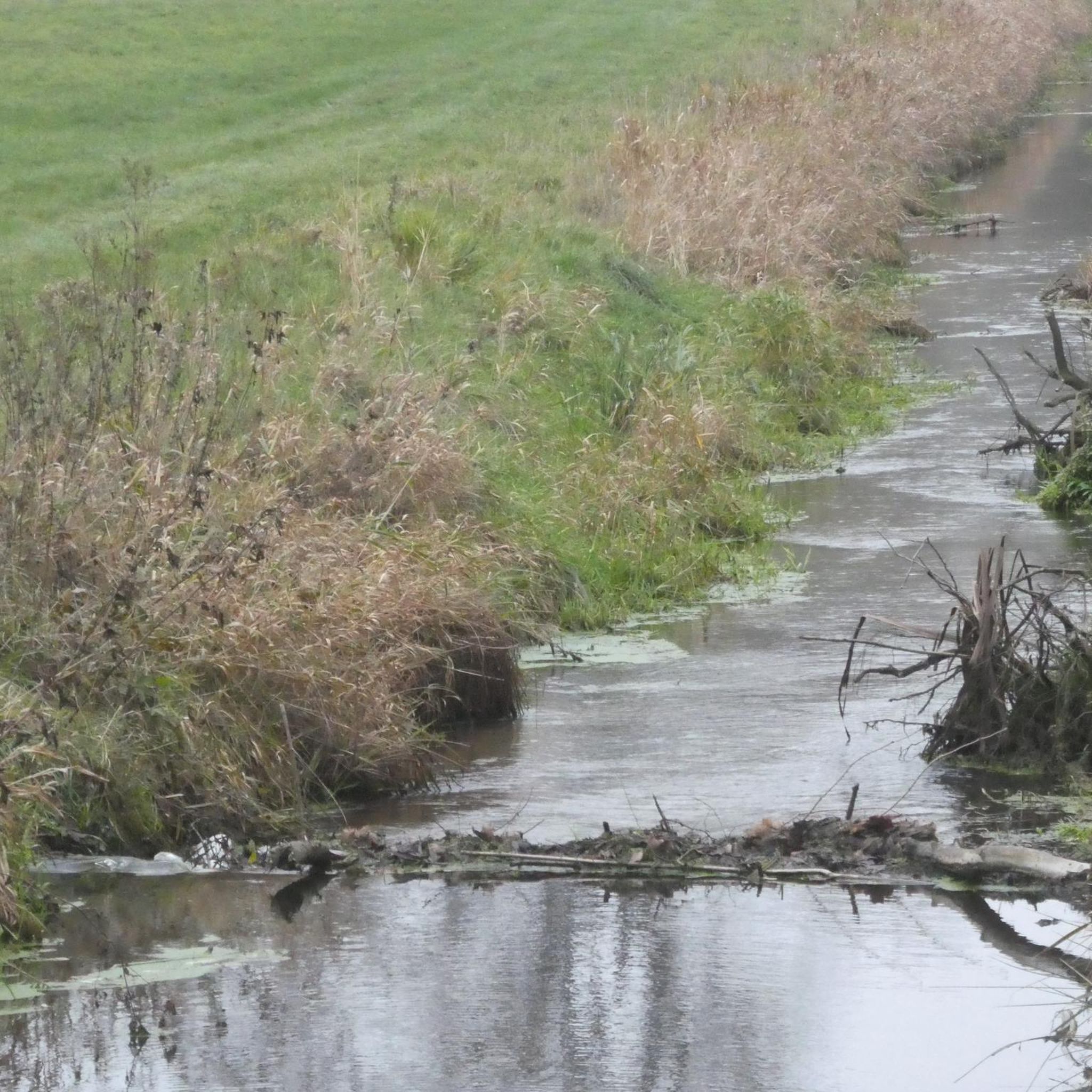
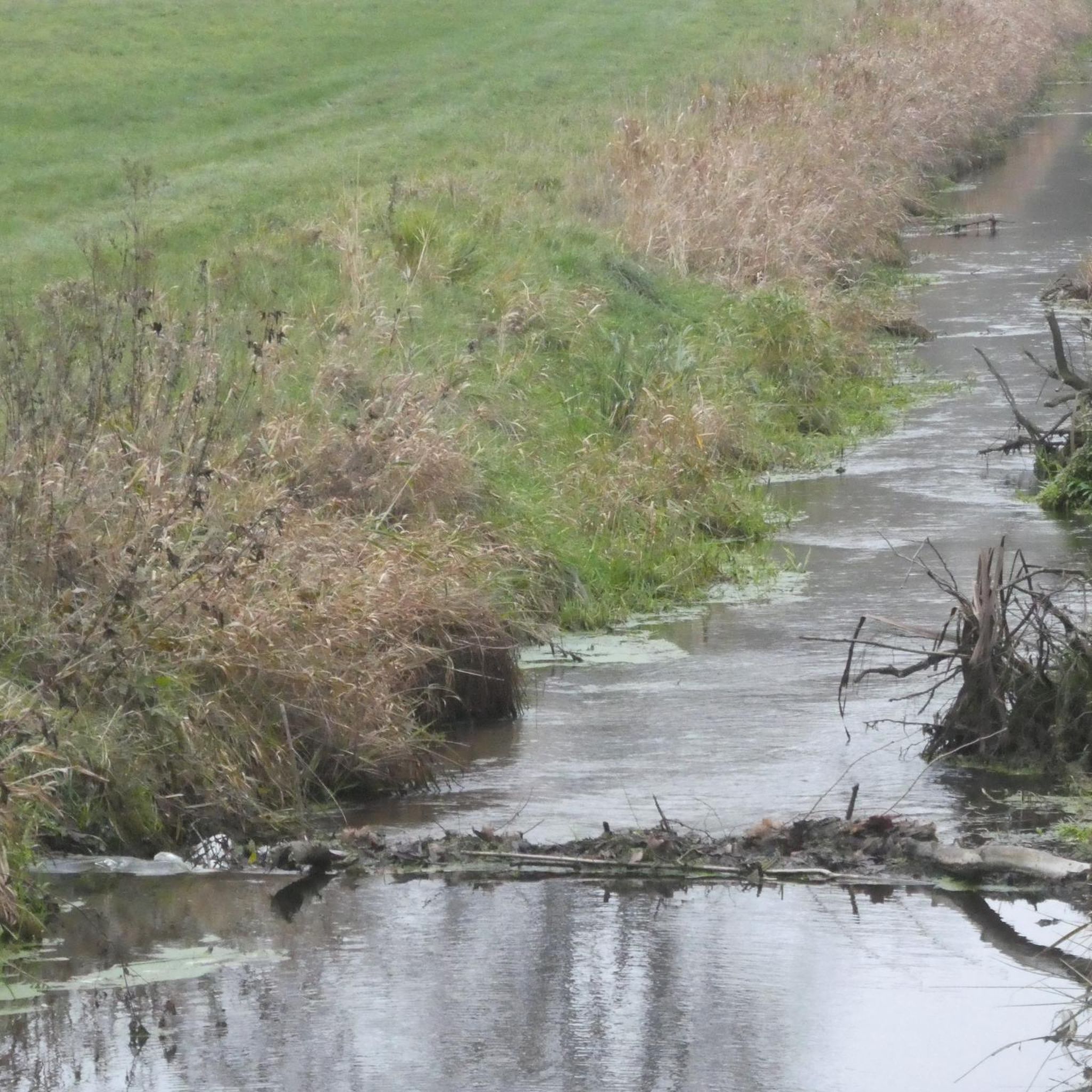
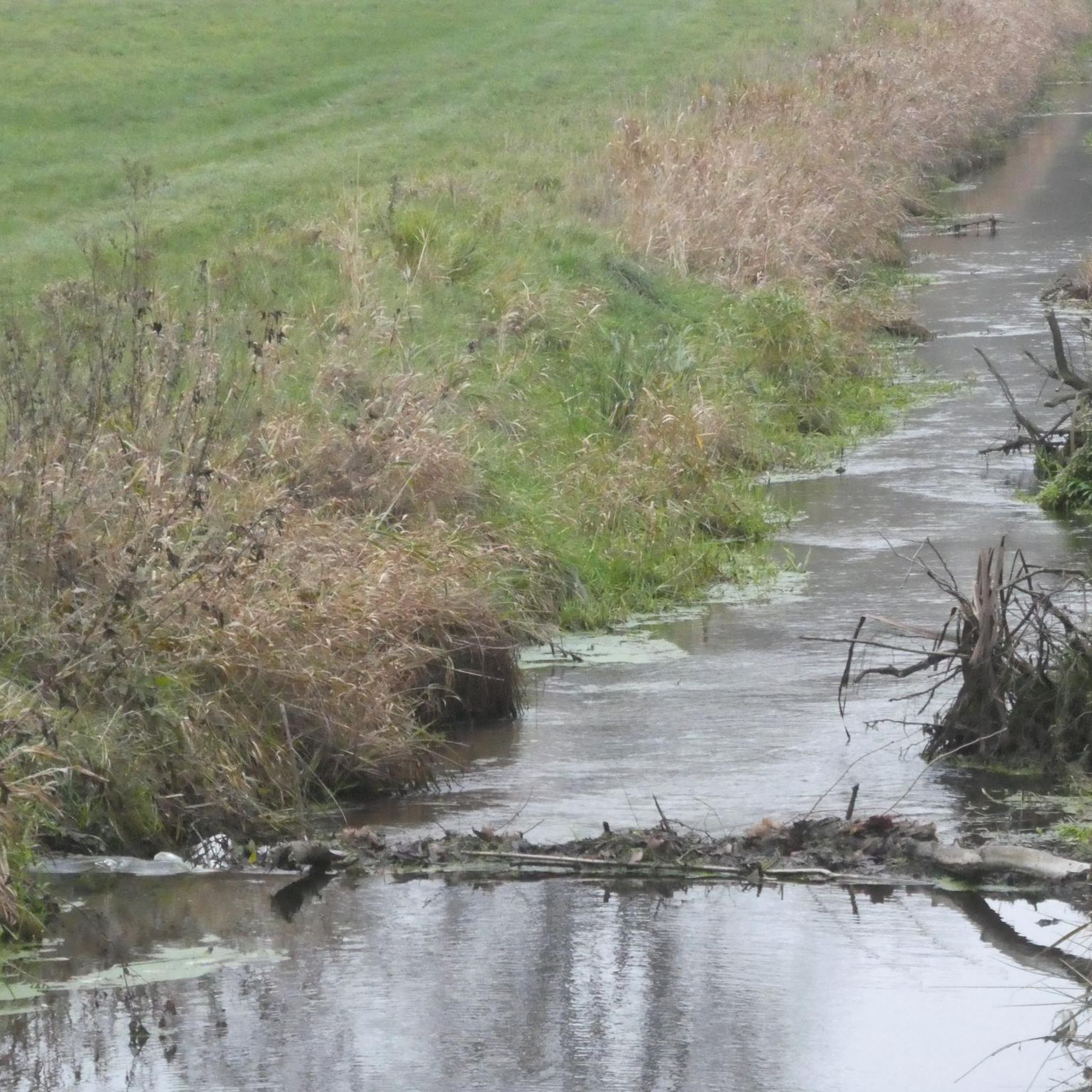
The Drömling, often referred to as the „Land of a Thousand Ditches“, is a fascinating low moor landscape on the border between Saxony-Anhalt and Lower Saxony. Since 2023, the Drömling officially bears the title UNESCO Biosphere Reserve. Previously, it had already been recognized as a national biosphere reserve (according to state law of Saxony-Anhalt) since 2019.
0
0

Approximately 2,200 kilometers of waterways run through the Drömling region, which is why it is also called the "Land of a Thousand Ditches." The UNESCO Biosphere Reserve provides a habitat for numerous rare and endangered animal and plant species. The area of the biosphere reserve extends over 450 square kilometers from the southwestern edge of the Altmark region along the Mittelland Canal to the northwest of Saxony-Anhalt. In addition to the waterways, the landscape is characterized by deciduous forests, meadows, fields, and moors. Further information about the Drömling region can be found here: https://www.biosphaerenreservat-droemling.de.
1
0

The whole Drömling is one of the largest settlement areas of Master Adebar, who nests here in many places and can be observed very well.
0
0
The largest part of the Drömling is in Saxony-Anhalt. In terms of landscape, of course, nothing changes due to the political national border. You will also find peace and seclusion in the Lower Saxony part.
0
0

Information board about the white stork in the Drömling biosphere reserve from the Stork Foundation
0
0
Information board Lower Saxony Drömling Nature Conservation Project Lower Saxony Drömling Kaiserwinkel
1
1

From here you can walk on wonderful paths in the Drömlings natural forest. There is a nature trail and bizarre forest landscapes .... reeds grow in the woods, lots of dead wood, water is up to the wayside in spring ... many different flowers ....
0
0
Frequently Asked Questions
How many running routes are available in Bergfeld?
Bergfeld offers a wide selection of running routes, with over 260 options available. These routes cater to various preferences, from easy jogs to more challenging runs.
What are the typical lengths of running trails in Bergfeld?
The running trails in Bergfeld vary in length. For instance, an easy route like Running loop from Parsau is about 2.7 miles (4.4 km), while more challenging options such as Störchenstäpfel Nature Trail – Drömling Biosphere Reserve loop from Samtgemeinde Brome can extend to nearly 11.2 miles (18 km).
Are there easy running routes suitable for beginners in Bergfeld?
Yes, Bergfeld has numerous easy running routes perfect for beginners or those looking for a gentle jog. There are 47 easy routes, including the popular Running loop from Parsau, which is a flat and accessible path.
What do other runners enjoy most about jogging in Bergfeld?
The running routes in Bergfeld are highly rated by the komoot community, with an average score of 4.6 stars from over 120 reviews. Runners often praise the varied landscapes, which include urban park settings, paved paths, and natural features like ponds and creeks, offering a refreshing escape.
Are there any circular running routes in Bergfeld?
Many of the running routes in Bergfeld are designed as circular loops, providing convenient starting and ending points. Examples include the Running loop from Samtgemeinde Brome and the Schützenplatz loop from Samtgemeinde Brome, allowing you to experience diverse scenery without retracing your steps.
What kind of landscapes can I expect on a run in Bergfeld?
Running in Bergfeld offers a mix of landscapes. You'll find well-marked paths meandering through lush greenery and under mature shade trees, as well as open fields. Natural elements like serene ponds, creeks, and even a natural shale wall contribute to the varied scenery, providing a soothing dose of nature.
Are there any interesting landmarks or attractions near the running trails?
Yes, the Bergfeld area is rich in points of interest. You can find historical sites like Wolfsburg Castle or Brome Castle. Nature lovers might enjoy highlights such as the Hunter's Cabin and Beaver Pond in Giebelmoor or the Ohresee.
What is the best time of year for running in Bergfeld?
Bergfeld offers pleasant running conditions year-round, with its picturesque landscapes inviting in all seasons. The lush greenery and shade trees provide comfort during warmer months, while the well-maintained paths are generally suitable for running even in cooler weather.
Are there any longer, more challenging running routes for experienced runners?
Absolutely. For experienced runners seeking a challenge, Bergfeld offers 35 difficult routes. An example is the Angelteiche – Ehraer Holz loop from Bergfeld, which covers approximately 9.6 miles (15.5 km) and features more varied terrain and elevation changes.
Can I find routes that pass through nature reserves or protected areas?
Yes, some routes in Bergfeld venture into or near natural protected areas. For instance, the Störchenstäpfel Nature Trail – Drömling Biosphere Reserve loop from Samtgemeinde Brome takes you through the Drömling Biosphere Reserve, offering a chance to experience unique natural environments.
Are the running paths in Bergfeld well-maintained?
Many of Bergfeld's running paths, especially in its park and recreation areas, are well-maintained. You'll find paved walking paths and well-marked trails that cater to both casual strollers and avid runners, ensuring a smooth and enjoyable experience.
Most popular routes around Bergfeld
Most popular attractions around Bergfeld

Get inspired with the komoot mobile app


Explore more
Browse the best Running Trails & Routes in other regions.
