The best road cycling routes around Bergfeld
4.6
(122)
1,068
riders
74
rides
Road cycling routes around Bergfeld are situated in the Gifhorn district of Lower Saxony, Germany, offering access to diverse natural environments. The region is positioned between the Südheide Nature Park and the Drömling Nature Park, providing a landscape of heathland, forests, and river valleys. The Kleine Aller river flows through Bergfeld, contributing to the local scenery and connecting to the larger Aller river system. The broader district features forests, meadows, and agricultural land, typical of the North German Plain.
Best…
Last updated: June 28, 2026
5.0
(3)
24
riders
57.5km
02:17
100m
100m
Moderate road ride. Good fitness required. Mostly well-paved surfaces and easy to ride.
13
riders
24.4km
00:56
40m
40m
Moderate road ride. Great for any fitness level. Some segments of this route may be unpaved and difficult to ride.

Sign up for free
14
riders
12.7km
00:30
20m
20m
Easy road ride. Great for any fitness level. Mostly well-paved surfaces and easy to ride.
4.6
(5)
9
riders
34.6km
01:27
120m
120m
Moderate road ride. Great for any fitness level. Some segments of this route may be unpaved and difficult to ride.
6
riders
40.6km
01:36
100m
110m
Easy road ride. Great for any fitness level. Mostly well-paved surfaces and easy to ride.
Get access to more routes and recommendations from other explorers.
Sign up for free
Already have an account?
Our route recommendations are based on thousands of hikes, rides, and runs completed by other people on komoot.
Start today with a free account
Your next adventure awaits.
Login or Signup
Tips from the Community

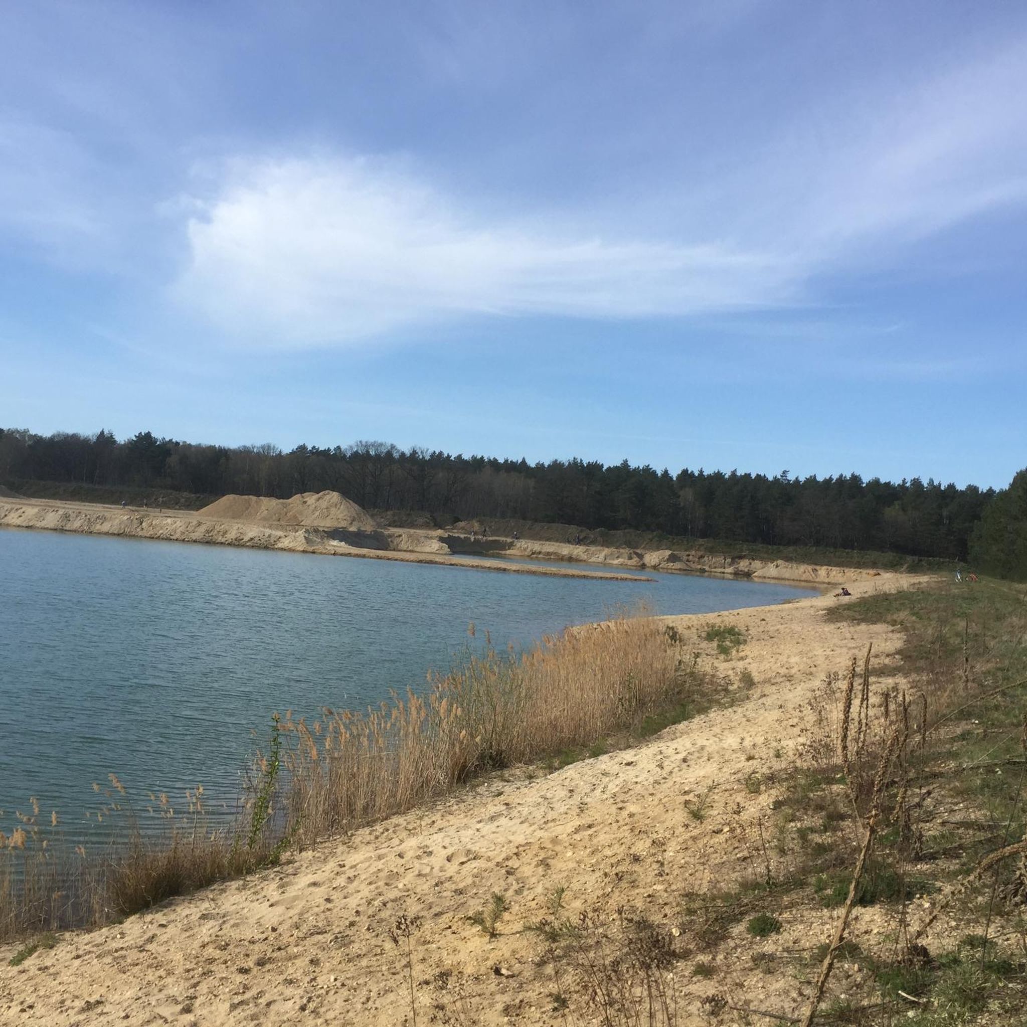
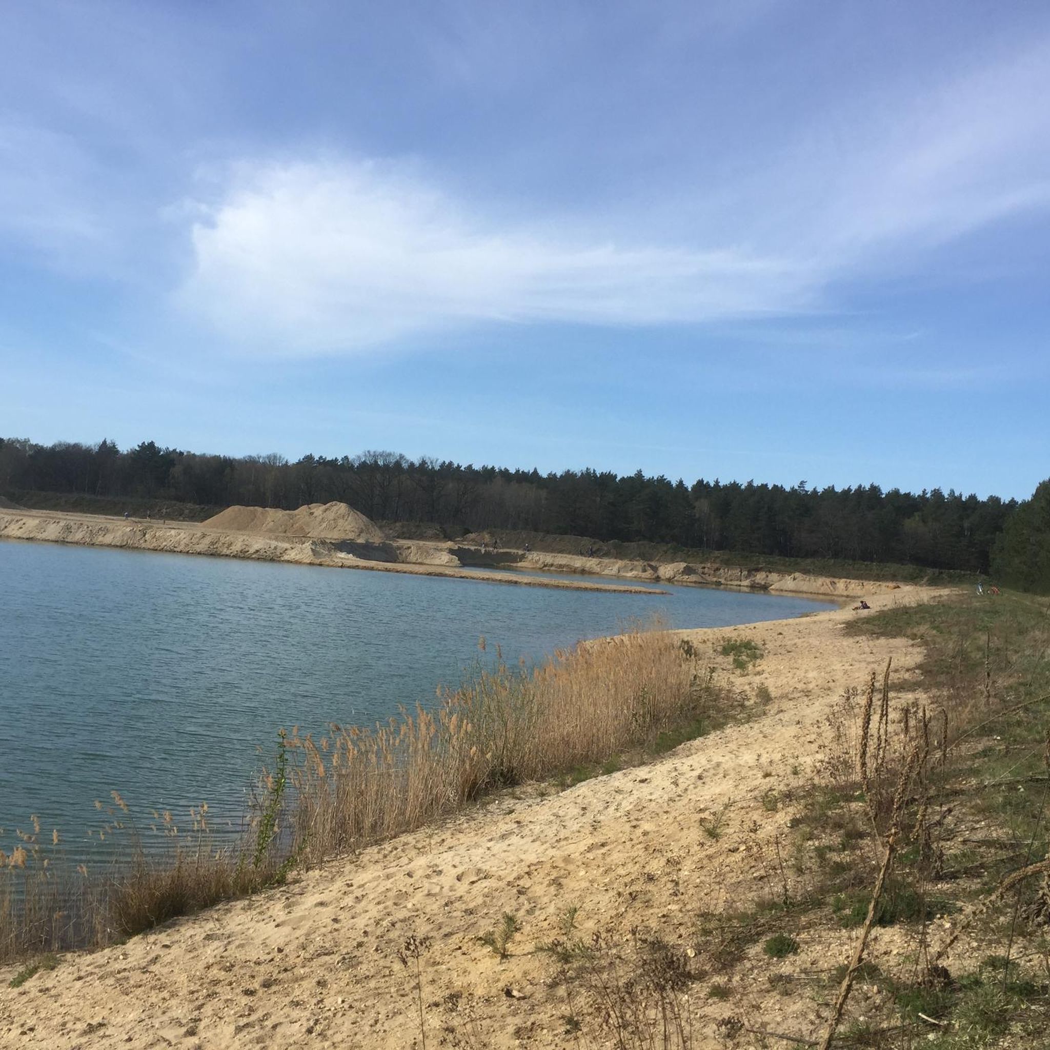
The Mittelland Canal near Buchhorst lies in a rather quiet section of the major west-east waterway in Lower Saxony, approximately between Gifhorn, Wolfsburg, and Calvörde. This area is among the more open and less urbanized stretches of the canal.
0
0
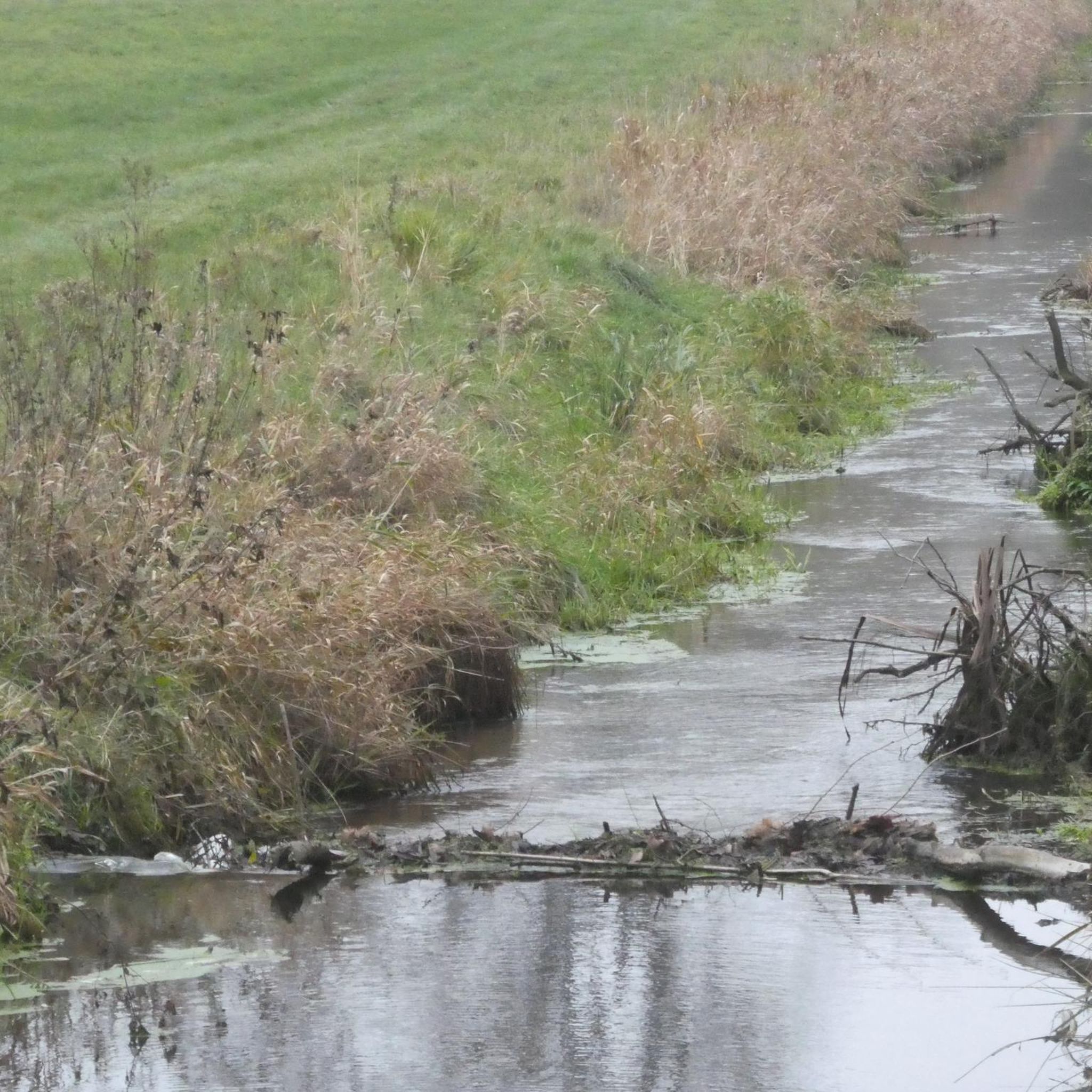
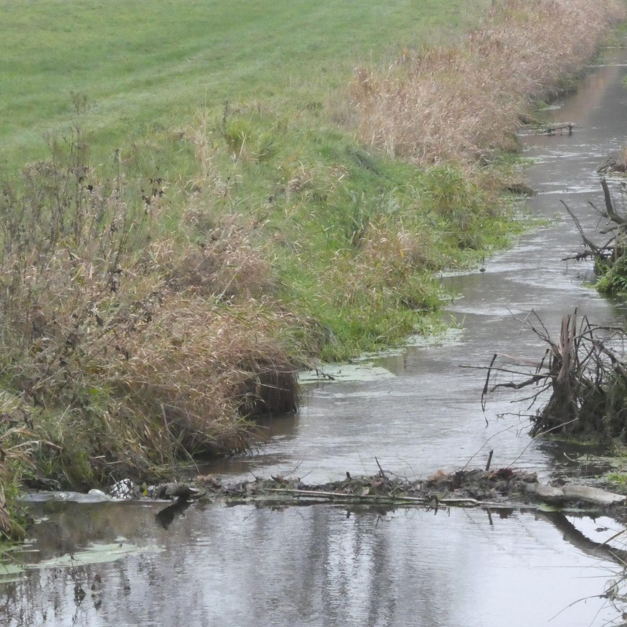
The Aller near Grafhorst is a quiet stretch of the Aller river (river), which is particularly suitable for walks and nature observation.
0
0

Very elaborate and created with great attention to detail.
0
0
The Drömling, often referred to as the „Land of a Thousand Ditches“, is a fascinating low moor landscape on the border between Saxony-Anhalt and Lower Saxony. Since 2023, the Drömling officially bears the title UNESCO Biosphere Reserve. Previously, it had already been recognized as a national biosphere reserve (according to state law of Saxony-Anhalt) since 2019.
0
0
Without the canal, Wolfsburg would probably not exist in its current form. When the city and the Volkswagen factory were planned in the late 1930s, the connection to the Mittelland Canal was crucial for transporting coal for its own power plant and for the removal of manufactured vehicles.
0
0
The Inner German Border Memorial Kaiserwinkel–Jahrstedt is an impressive place of remembrance that documents the former division of Germany between Lower Saxony and Saxony-Anhalt.
0
0
The former inner-German border near Böckwitz (Saxony-Anhalt) and the directly neighboring Zicherie (Lower Saxony) is considered one of the most striking symbols of the German division. Here the border did not run through forests or fields, but through the middle of an established village structure.
0
0
Since the route is located directly in a wildlife reserve, the area is completely fenced so that no deer crosses the road at 400 km/h – that would be fatal for both sides.
0
0
Frequently Asked Questions
How many road cycling routes are available around Bergfeld?
There are nearly 80 road cycling routes around Bergfeld, catering to various skill levels. You'll find 27 easy routes, 51 moderate routes, and one more challenging option for experienced cyclists.
What is the typical terrain and elevation like for road cycling in the Bergfeld region?
The Bergfeld region, situated in the North German Plain, offers a landscape of forests, meadows, and agricultural land. Road cycling routes generally feature mostly well-paved surfaces with gentle elevation changes, making them suitable for a relaxed cycling experience. For example, the View of the Aller – Crossing Mittelland Canal loop from Parsau, a 35.7-mile route, has an elevation gain of around 100 meters.
Are there family-friendly road cycling routes suitable for all ages?
Yes, Bergfeld and its surroundings offer numerous family-friendly road cycling options. Many of the 27 easy routes are suitable for families, providing a relaxed way to explore the local scenery. The nearby Südheide Nature Park also features a well-developed network of cycling trails with information boards and rest areas, perfect for family outings.
What kind of natural landscapes can I expect to see while road cycling near Bergfeld?
Road cycling near Bergfeld allows you to explore diverse natural environments. You'll encounter scenic heathland, extensive forests, and river valleys, particularly as you ride through or near the Südheide Nature Park and the Drömling Nature Park. The Kleine Aller river also contributes to the picturesque local scenery.
Are there any notable attractions or points of interest along the road cycling routes?
Yes, several routes pass by interesting landmarks and natural features. For instance, the Wolfsburg Castle – Wolfsburg Castle loop from Barwedel takes you past Wolfsburg Castle. Other highlights in the broader area include the Aller Lake (Allerpark, Wolfsburg) and the Border Trail and Memorial at Böckwitz-Zicherie.
Where can I find easy road cycling routes for beginners?
Bergfeld offers 27 easy road cycling routes perfect for beginners or those seeking a relaxed ride. An example is the Roadbike loop from Rühen, which is 12.7 kilometers long and features minimal elevation gain.
Are there options for longer distance road cycling tours from Bergfeld?
Absolutely. Bergfeld's proximity to the Aller Cycle Path provides excellent opportunities for longer distance tours. This popular route stretches for approximately 250 to 330 kilometers, guiding riders through the southern Lüneburg Heath and along romantic riverside promenades. Within the immediate area, routes like the View of the Aller – Crossing Mittelland Canal loop from Parsau offer a substantial 57.5 km ride.
What are the best times of year for road cycling in Bergfeld?
The spring, summer, and early autumn months generally offer the best conditions for road cycling in Bergfeld. During these seasons, the weather is typically mild, and the natural landscapes of the Südheide and Drömling Nature Parks are at their most vibrant. Always check local weather forecasts before heading out.
Is it possible to access road cycling routes in Bergfeld using public transport?
While Bergfeld itself is a smaller municipality, public transport options to the broader Gifhorn district are available. For specific routes, it's advisable to research local bus connections or regional train services to nearby towns that might offer closer access points to the cycling network. Information on public transport in the region can often be found on the local transport authority websites.
Where can cyclists park their cars when starting a route in Bergfeld?
Parking availability for cyclists in Bergfeld typically includes designated public parking areas within the municipality or at trailheads for the larger nature parks. When planning your route, it's recommended to check the starting point of your chosen tour on komoot for specific parking suggestions or nearby facilities.
Are there any circular road cycling routes available?
Yes, many of the road cycling routes around Bergfeld are designed as loops, allowing you to start and end at the same point. Examples include the popular Ehra Church – Guzzo Ice Cream Café loop from Ehra-Lessien and the Drömling Biosphere Reserve loop from Samtgemeinde Brome.
What do other cyclists say about their experience road cycling in Bergfeld?
The road cycling routes in Bergfeld are highly rated by the komoot community, with an average score of 4.6 stars from over 100 reviews. More than 1000 road cyclists have used komoot to explore Bergfeld's varied terrain, often praising the quiet roads, diverse landscapes, and well-maintained paths through heathland and forests.
Are there routes that include stops for refreshments like cafes?
Yes, some routes are designed to pass by places where you can stop for refreshments. For example, the Ehra Church – Guzzo Ice Cream Café loop from Ehra-Lessien specifically mentions a cafe along its path. The broader region also offers various cafes and restaurants in towns and villages along the cycling network.
Are there any routes that pass by unique natural monuments?
While road cycling, you might encounter natural monuments in the wider Bergfeld area. Notable examples include the Adam and Eve Oaks and the Stork Nest at Giebel Farmstead (Nördlicher Drömling Nature Reserve). The Aller River in Politz und Hegholz Nature Reserve is also a significant natural feature.
Most popular routes around Bergfeld
Most popular attractions around Bergfeld

Get inspired with the komoot mobile app


Explore more
Browse the best Road cycling routes in other regions.
