The best running trails around Clausthal Zellerfeld
4.4
(294)
3,241
runners
301
runs
Jogging around Clausthal Zellerfeld offers diverse terrain within the Harz Mountains, characterized by dense forests and rolling hills. The region features an extensive network of running trails, including those within the Harz National Park. Runners can explore routes alongside the historic Upper Harz Water Management System, which includes numerous small lakes and canals. This landscape provides varied options, from gentle paths to challenging ascents.
Best jogging routes around Clausthal Zellerfeld
- The most popular jogging route is Oker Reservoir – Oker Dam loop from Schulenberg, a 13.0 miles (20.9 km) trail that takes 2 hours 17 minutes to complete. This challenging route offers scenic views around the reservoir.
- Another top favourite among local runners is Upper Nassenwieser Pond – Bärenbrucher Pond (HWN 137) loop from Technische Universität Clausthal, a moderate 5.1 miles (8.3 km) path. This route winds through the picturesque landscape of the historic water management system.
- Local runners also love the Ecker Dam – Brocken Summit loop from Torfhaus, a 15.2 miles (24.4 km) trail leading through the Harz National Park towards the Brocken Summit, often completed in about 2 hours 53 minutes.
- Jogging around Clausthal Zellerfeld is defined by dense forests, rolling hills, and historic water systems. The network offers options for various ability levels, from easy runs to more demanding trails with significant elevation gain.
- The routes in Clausthal-Zellerfeld are highly rated by the komoot community with an average score of 4.4 stars from over 260 reviews. More than 2800 runners have used komoot to explore Clausthal-Zellerfeld's varied terrain.
Last updated: June 28, 2026
4.7
(10)
170
runners
21.3km
02:23
410m
420m
Hard run. Very good fitness required. Mostly paved surfaces. Suitable for all skill levels.
4.7
(6)
136
runners
Hard run. Very good fitness required. Sure-footedness, sturdy shoes and alpine experience required.

Sign up for free
5.0
(1)
81
runners
42.4km
05:03
1,140m
1,140m
Hard run. Very good fitness required. Sure-footedness, sturdy shoes and alpine experience required.
4.9
(8)
46
runners
Moderate run. Good fitness required. Mostly paved surfaces. Suitable for all skill levels.
3.5
(2)
43
runners
Moderate run. Good fitness required. Mostly paved surfaces. Suitable for all skill levels.
Get access to more routes and recommendations from other explorers.
Sign up for free
Already have an account?
Our route recommendations are based on thousands of hikes, rides, and runs completed by other people on komoot.
Start today with a free account
Your next adventure awaits.
Login or Signup
Popular around Clausthal-Zellerfeld
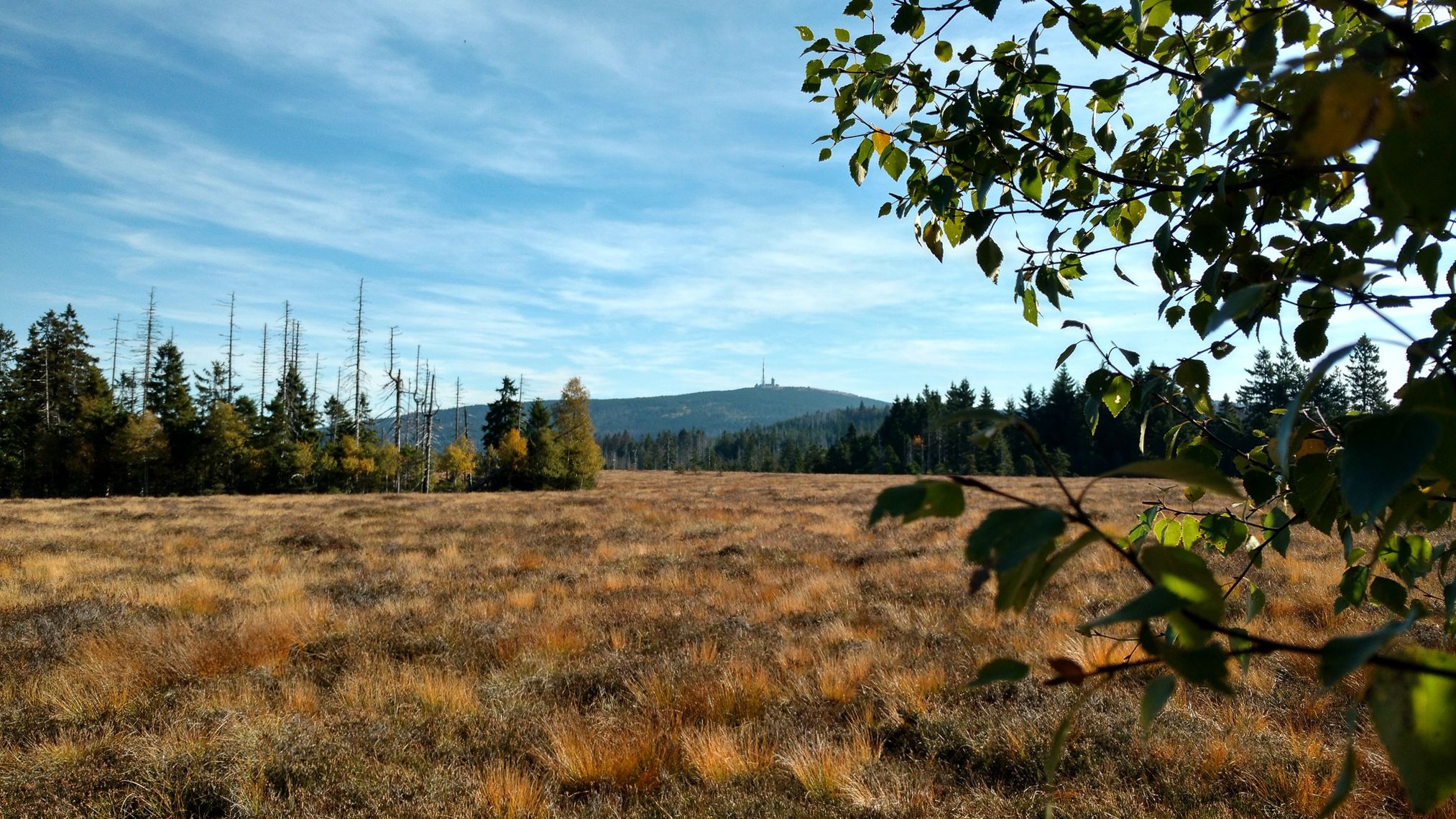
Harz Witches' Trail – A magical journey through Germany

Mountainbike Routes in Nationalpark Harz
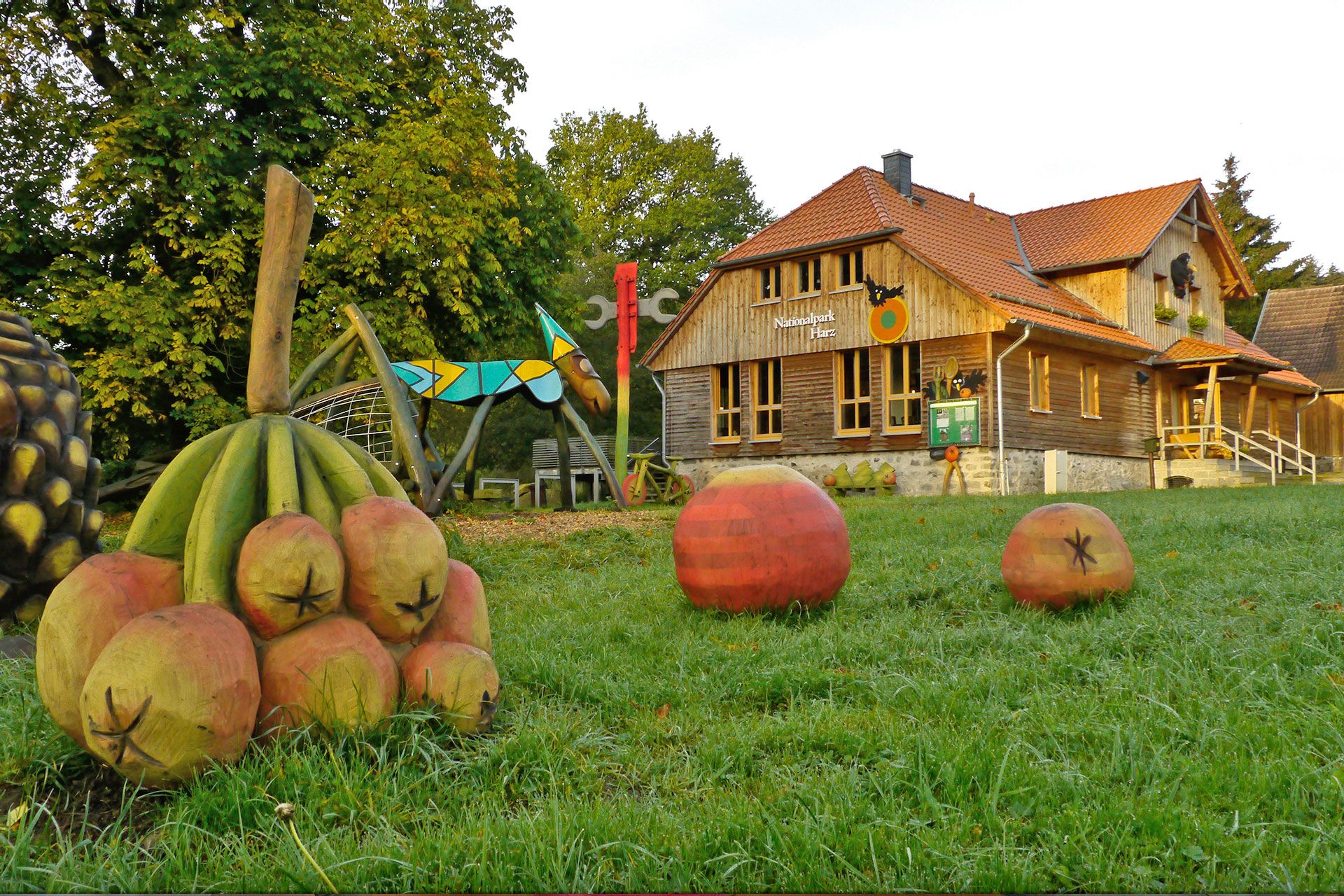
National park facilities in Harz National Park
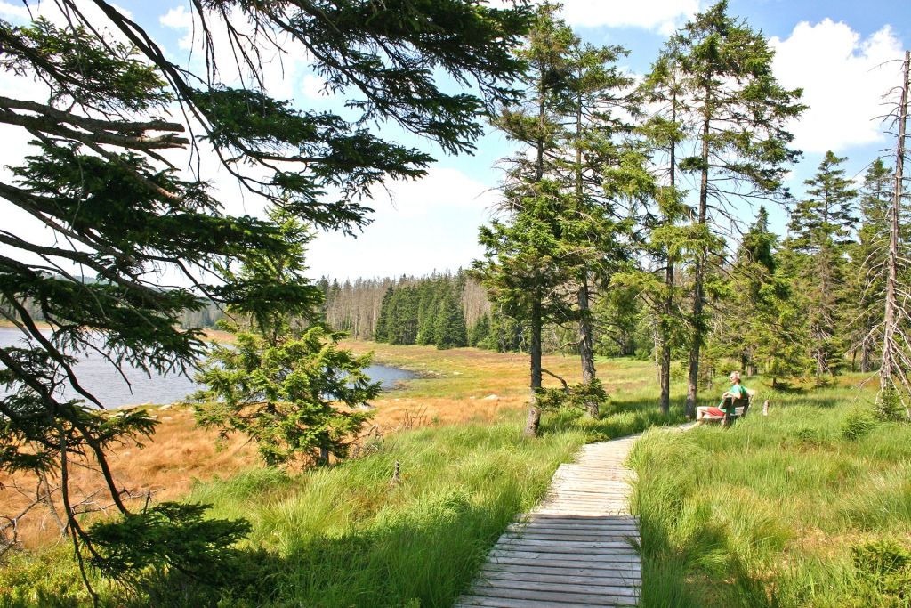
The most beautiful hiking tours in Harz National Park

Nature experience trails in Harz National Park
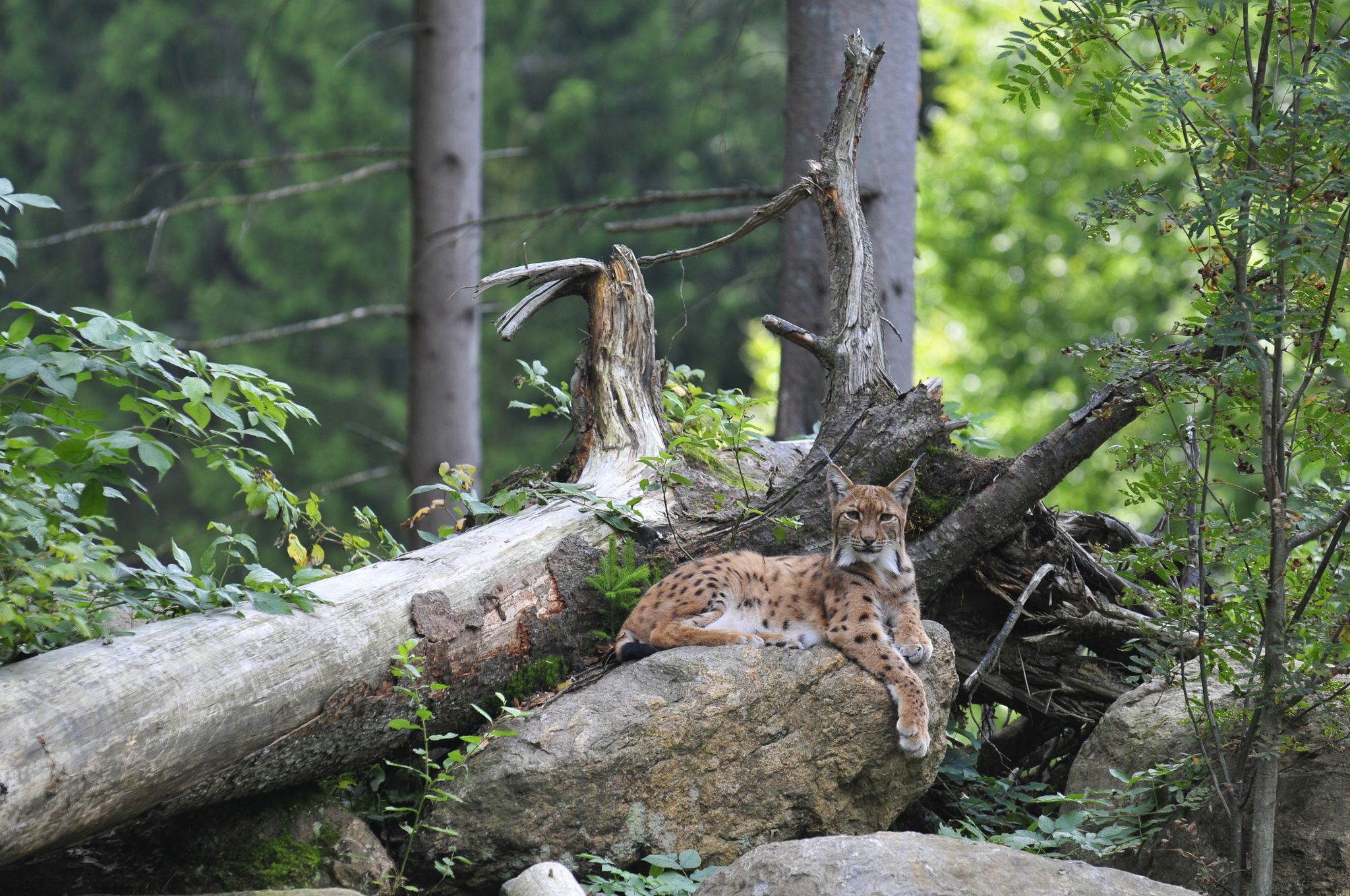
Discover the Green Belt in the Harz Mountains with BUND
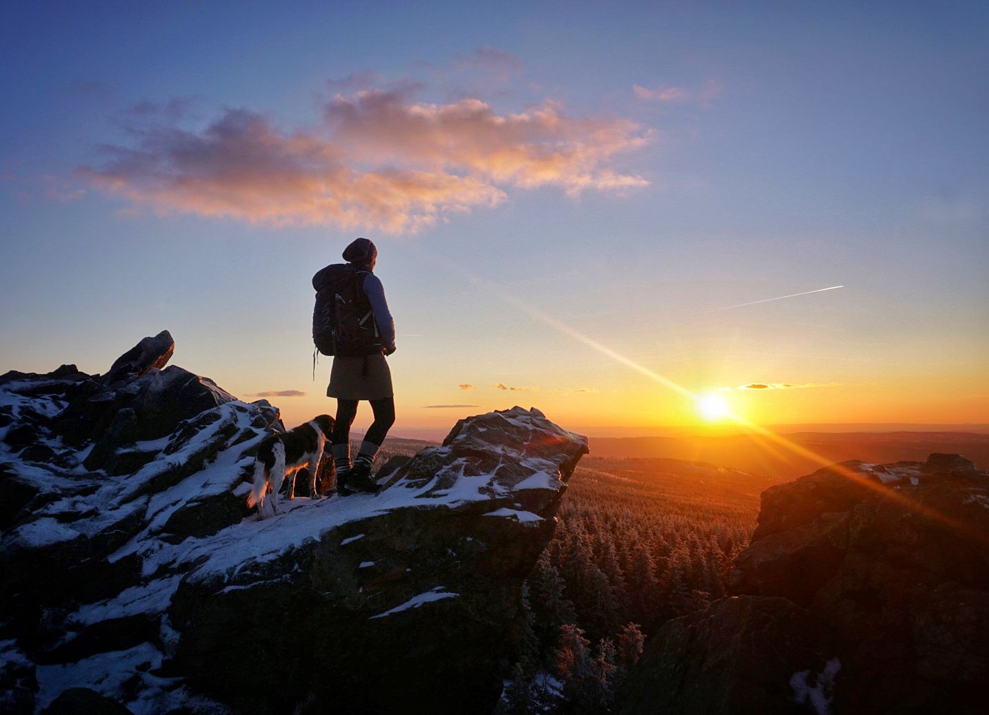
Explore beautiful winter hikes in Germany’s Harz Mountains
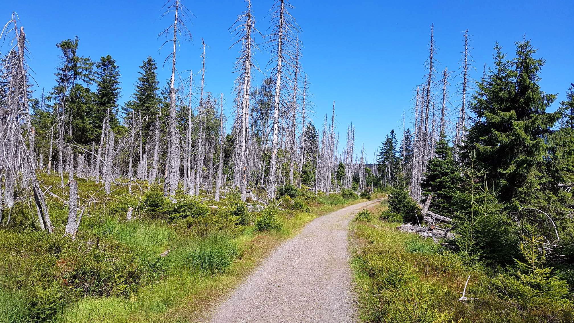
Moors, forests & trails – a Trans Harz double whammy

Discover the nature along the “Greenbelt” together with the BUND
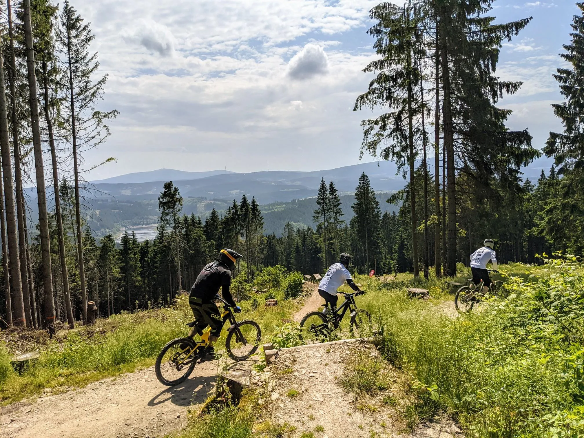
Finest trails, pure nature — the best of the Harz Mountains
Other adventures around Clausthal Zellerfeld


Tips from the Community

Base in the national park 👍
0
0

A frequently used stopover along the Oker and the reservoir.
0
0

The construction of the Oker Dam was undertaken by the Harz Waterworks between 1938 and 1942.[1] For this purpose, the valley roads were first relocated to the western and northern banks and the two road bridges ("Weißwasserbrücke" and "Bramkebrücke") were built. From October 1939, prisoners of war were also employed: in January 1941, 50 free workers and 400 prisoners of war from France worked on the construction site, who were replaced by Soviet prisoners from August 1941. Due to the harsh working conditions, ten prisoners of war died by the end of 1941; their graves are located in the Altenau cemetery.[9] Further Soviet dead were buried near the barracks camp from January 1942 onwards; the burial ground on the eastern bank of the Oker downstream of the Weisswasserbrücke is now flooded. Because of the war and the resulting change in priorities, construction was interrupted in April 1942 and the workers were used to build the Eder Dam.[10]
0
0
In 1573, another raft lock, the Small Julius Dam, was built upstream in the Gemkenthal. It was of the same design (a box weir approximately 10 meters high and 57 meters wide) and dammed an approximately one-kilometer-long artificial body of water. Both dams, the Large and Small Julius Dam, were destroyed by a severe flood on June 27, 1579.[7][8]
0
0
The structure was 17 m high and 49 m wide and consisted of a two-story stone box weir made of tree trunks that protruded from each bank into the middle of the river in a triangular shape. The boxes were filled with gravel and sand and sealed with moss. An additional story was added to the rear section, making the structure the equivalent of a five-story building. Three locking panels enabled it to function as a raft lock to regulate the discharge of water from the dammed Oker River.
0
0
In 1570, Duke Julius of Brunswick-Wolfenbüttel had a box-shaped dam built on the site of the present dam wall, about 30 meters downstream, the so-called Great Julius Dam. The dam served to float timber and firewood from the Harz Mountains downstream of the Oker River to his residence, Wolfenbüttel. A small artificial flood could be created by releasing the dammed water from a reservoir up to 1,320 meters long into the Oker River. In the 16th century, it was the largest artificial dam in Germany.[6]
0
0
The reservoir supplies drinking water to the cities of Braunschweig, Wolfenbüttel, and Wolfsburg. The water is piped to the Lewerberg reservoir near Liebenburg, where drinking water from the Grane Dam also arrives. From there, a pipeline leads to the Thieder Lindenberg and further to the cities of Braunschweig and Wolfsburg. The water of the Ecker River is relatively acidic, with a pH of 4.6, due to the humic acid-rich moor streams. It is also low in nutrients and therefore well suited for drinking water treatment.[3] The dam is not used for fishing, as most fish cannot tolerate the low pH.[5] Below the dam, the water is almost neutral. Source: https://de.wikipedia.org/wiki/Eckertalsperre
3
0
The Ecker Dam (sometimes also called the Ecker Reservoir) is a dam near Bad Harzburg in the Harz Mountains, which was commissioned in 1943[1] and impounds the Ecker River and its tributaries. Operated by Harz Waterworks, the facility serves to supply drinking water, protect against flooding, increase low water levels, and generate energy.[2] Source: https://de.wikipedia.org/wiki/Eckertalsperre
3
0
Frequently Asked Questions
How many running routes are available around Clausthal-Zellerfeld?
Clausthal-Zellerfeld offers a wide variety of running experiences, with over 290 routes available. These range from easy, gentle paths to more challenging trails with significant elevation changes.
What kind of terrain can I expect on the jogging routes in Clausthal-Zellerfeld?
The region, nestled in the Harz Mountains, is characterized by dense forests, rolling hills, and the unique historic Upper Harz Water Management System. You'll find diverse terrain, from challenging uphill paths within the Harz National Park to more gentle, undulating trails alongside picturesque lakes and canals.
Are there running routes suitable for beginners in Clausthal-Zellerfeld?
Yes, there are approximately 37 easy running routes around Clausthal-Zellerfeld. For a relaxed jog within the town, the Kurpark offers maintained pathways. You can also find shorter, easier runs like the Sonnenloipe, which is 4.1 km with small hills.
What do other runners say about the trails in Clausthal-Zellerfeld?
The running routes in Clausthal-Zellerfeld are highly rated by the komoot community, with an average score of 4.4 stars from over 260 reviews. More than 2800 runners have used komoot to explore the varied terrain, often praising the scenic beauty and diverse options.
Are there any circular jogging routes in the area?
Absolutely. Many routes in the region are circular, allowing you to start and finish at the same point. A popular moderate option is the Upper Nassenwieser Pond – Bärenbrucher Pond loop, which winds through the historic water management system. For a more challenging experience, consider the Oker Reservoir – Oker Dam loop.
Can I bring my dog on the running trails in Clausthal-Zellerfeld?
Many trails in the Harz Mountains are dog-friendly, but it's always recommended to keep your dog on a leash, especially within the Harz National Park, to protect wildlife and ensure a pleasant experience for all users. Always check local signage for specific restrictions.
Are there family-friendly jogging routes in Clausthal-Zellerfeld?
Yes, there are several options suitable for families. The Kurpark in Clausthal-Zellerfeld offers a central green oasis with maintained pathways for a casual jog. Many of the easier routes, particularly those with less elevation gain, are also great for families looking for a gentle run together.
What natural features or landmarks can I see while jogging in the region?
You'll encounter a wealth of natural beauty and historic landmarks. Many routes traverse the Harz National Park, offering lush forests and opportunities for wildlife observation. The Upper Harz Water Management System, a UNESCO World Heritage site, features picturesque lakes and canals. You might also pass viewpoints like Raven Crag or even catch glimpses of prominent summits like Brocken Summit from certain trails.
Are there routes that explore the historic Upper Harz Water Management System?
Yes, the Upper Harz Water Management System, a UNESCO World Heritage site, provides many picturesque routes. The Upper Nassenwieser Pond – Bärenbrucher Pond loop is a prime example, offering serene views and a tranquil atmosphere as you run alongside these historic bodies of water.
Are there jogging routes with parking available?
While specific parking information for each route isn't detailed, many popular trailheads and starting points in and around Clausthal-Zellerfeld, especially near attractions or larger towns, typically offer parking facilities. It's advisable to check maps or local information for parking options at your chosen starting point.
What is the best time of year for jogging in Clausthal-Zellerfeld?
Clausthal-Zellerfeld offers appealing jogging conditions year-round. Spring and autumn provide pleasant temperatures and vibrant scenery. In summer, the dense forests offer welcome shade. Even in winter, prepared cross-country tracks like the Sonnenloipe and Spiegelthalerloipe can be used by runners, offering a unique experience amidst snowy fields and woods.
Are there any challenging running routes for experienced runners?
Yes, for experienced runners seeking a challenge, there are 63 difficult routes available. The Ecker Dam – Brocken Summit loop, for instance, is a demanding 24.4 km trail with significant elevation gain, leading through the Harz National Park towards the Brocken Summit.
Most popular routes around Clausthal Zellerfeld
Most popular attractions around Clausthal Zellerfeld

Get inspired with the komoot mobile app


Explore more
Browse the best Running Trails & Routes in other regions.
