The best traffic-free bike rides around Clausthal Zellerfeld
4.4
(1443)
7,779
riders
163
rides
No traffic touring cycling routes around Clausthal Zellerfeld are situated on the Upper Harz Plateau, at an altitude of approximately 600 meters within the Harz Mountains. The region features dark green spruce forests, mountain meadows, and the UNESCO World Heritage Upper Harz Water Regale, which includes over 65 historic ponds and watercourses. Former railway lines have been converted into scenic cycling paths, providing diverse terrain for touring cyclists.
Best no traffic touring cycling routes around Clausthal Zellerfeld
- The most popular no traffic touring cycling route is View of the Granetalsperre reservoir – Grane Reservoir loop from Clausthal-Zellerfeld, a 32.1 miles (51.7 km) trail that takes 3 hours 45 minutes to complete. This difficult route offers scenic views of the Granetalsperre reservoir.
- Another top favourite among local touring cyclists is Hausherzberger Ponds – Former Altenau Railway Station loop from Clausthal-Zellerfeld, a moderate 12.1 miles (19.4 km) path. This route passes by historic ponds and follows a former railway line.
- Local touring cyclists also love the Grumbacher Pond – Hahnenklee Stave Church loop from Clausthal, a 18.3 miles (29.5 km) trail leading through the Upper Harz Water Regale system, often completed in about 2 hours 22 minutes.
- Touring cycling around Clausthal Zellerfeld is defined by spruce forests, the Upper Harz Water Regale, and converted railway lines. The network offers options for various ability levels, from moderate rides to more challenging excursions.
- The routes in Clausthal-Zellerfeld are highly rated by the komoot community with an average score of 4.5 from over 1300 reviews. More than 7600 touring cyclists have used komoot to explore Clausthal-Zellerfeld's varied terrain.
Last updated: July 10, 2026
4.3
(51)
217
riders
Moderate bike ride. Good fitness required. Mostly paved surfaces. Suitable for all skill levels.
4.5
(31)
146
riders
Moderate bike ride. Good fitness required. Mostly paved surfaces. Suitable for all skill levels.

Sign up for free
4.4
(19)
148
riders
30.1km
02:25
560m
560m
Hard bike ride. Very good fitness required. You may need to push your bike for some segments of this route.
4.7
(51)
292
riders
34.7km
02:39
800m
790m
Hard bike ride. Very good fitness required. Mostly paved surfaces. Suitable for all skill levels.
4.2
(11)
85
riders
Moderate bike ride. Good fitness required. Mostly paved surfaces. Suitable for all skill levels.
Get access to more routes and recommendations from other explorers.
Sign up for free
Already have an account?
Our route recommendations are based on thousands of hikes, rides, and runs completed by other people on komoot.
Start today with a free account
Your next adventure awaits.
Login or Signup
Popular around Clausthal-Zellerfeld

The best swimming lakes in Lower Saxony
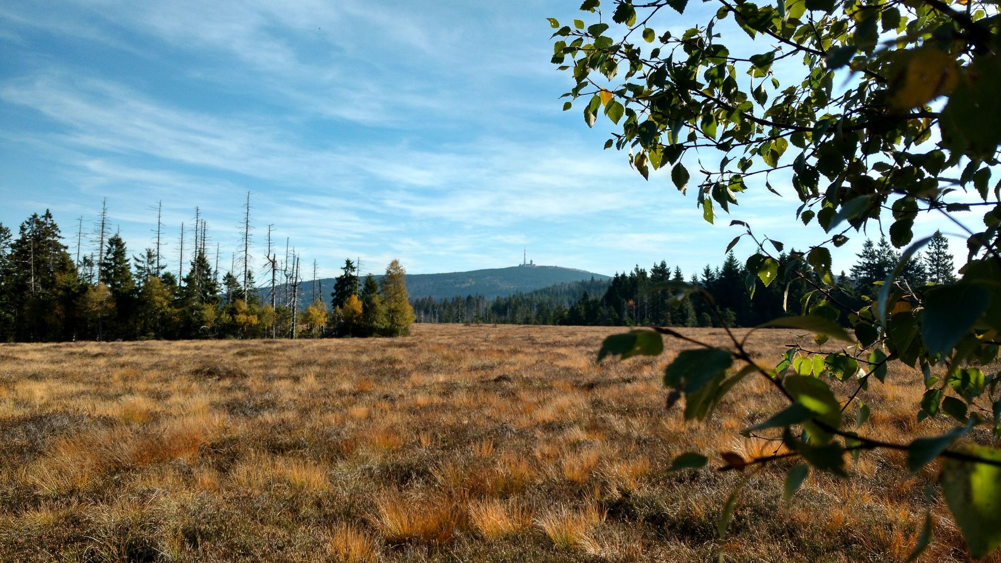
Harz Witches' Trail – A magical journey through Germany

Mountainbike Routes in Nationalpark Harz
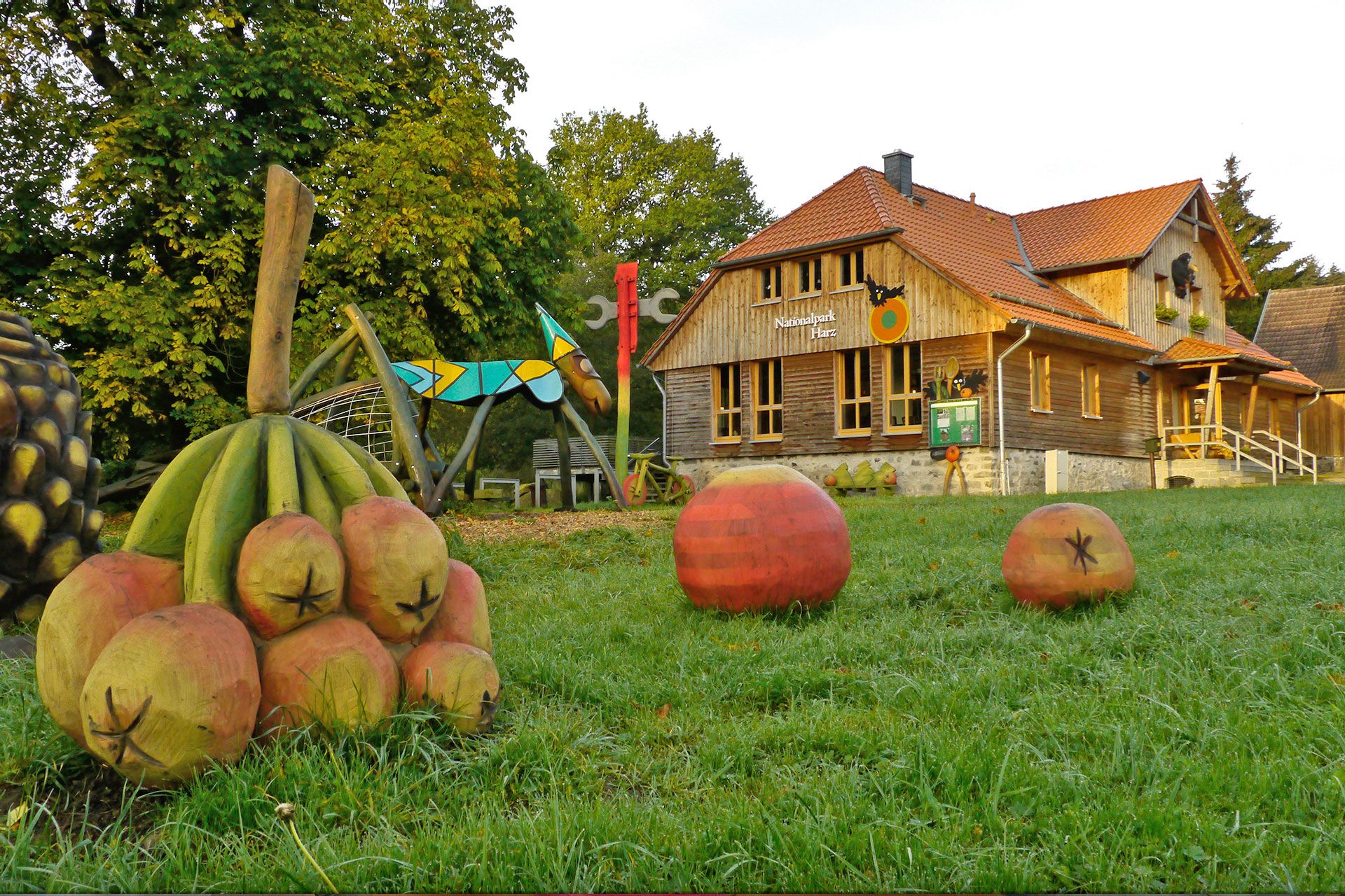
National park facilities in Harz National Park
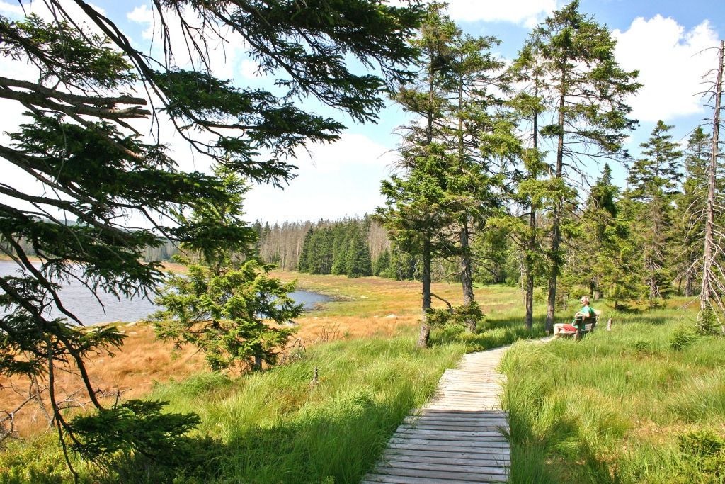
The most beautiful hiking tours in Harz National Park
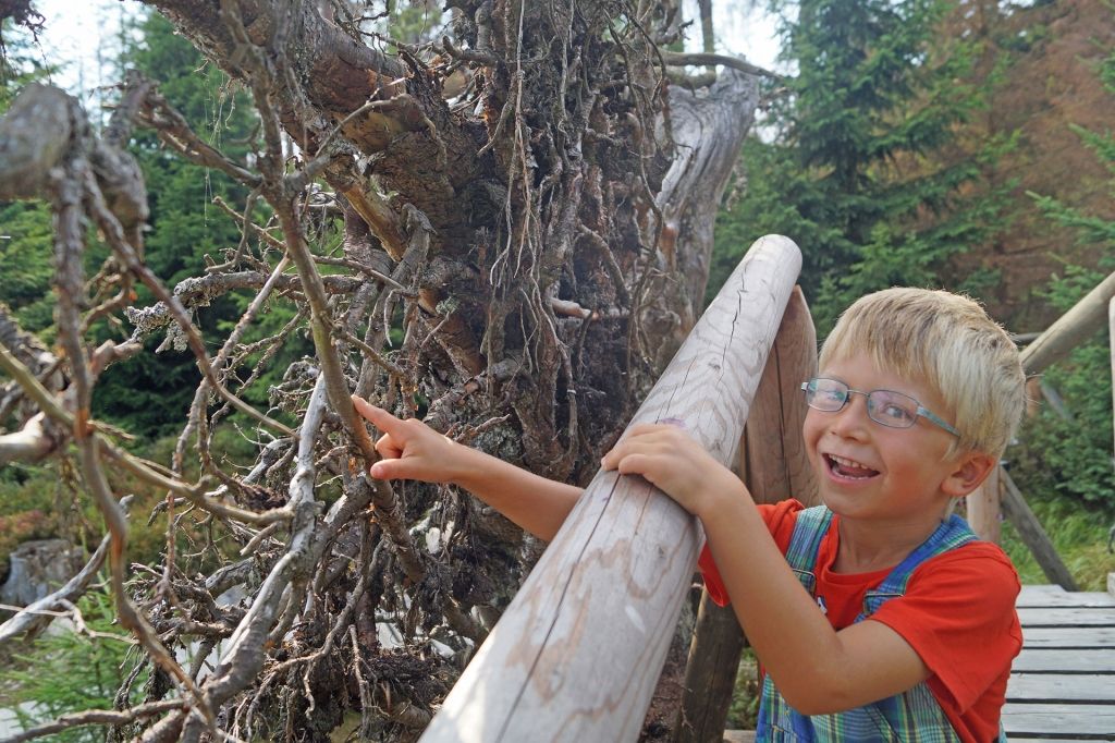
Nature experience trails in Harz National Park
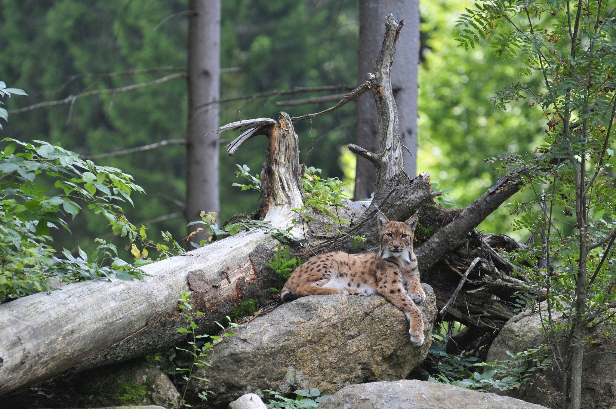
Discover the Green Belt in the Harz Mountains with BUND
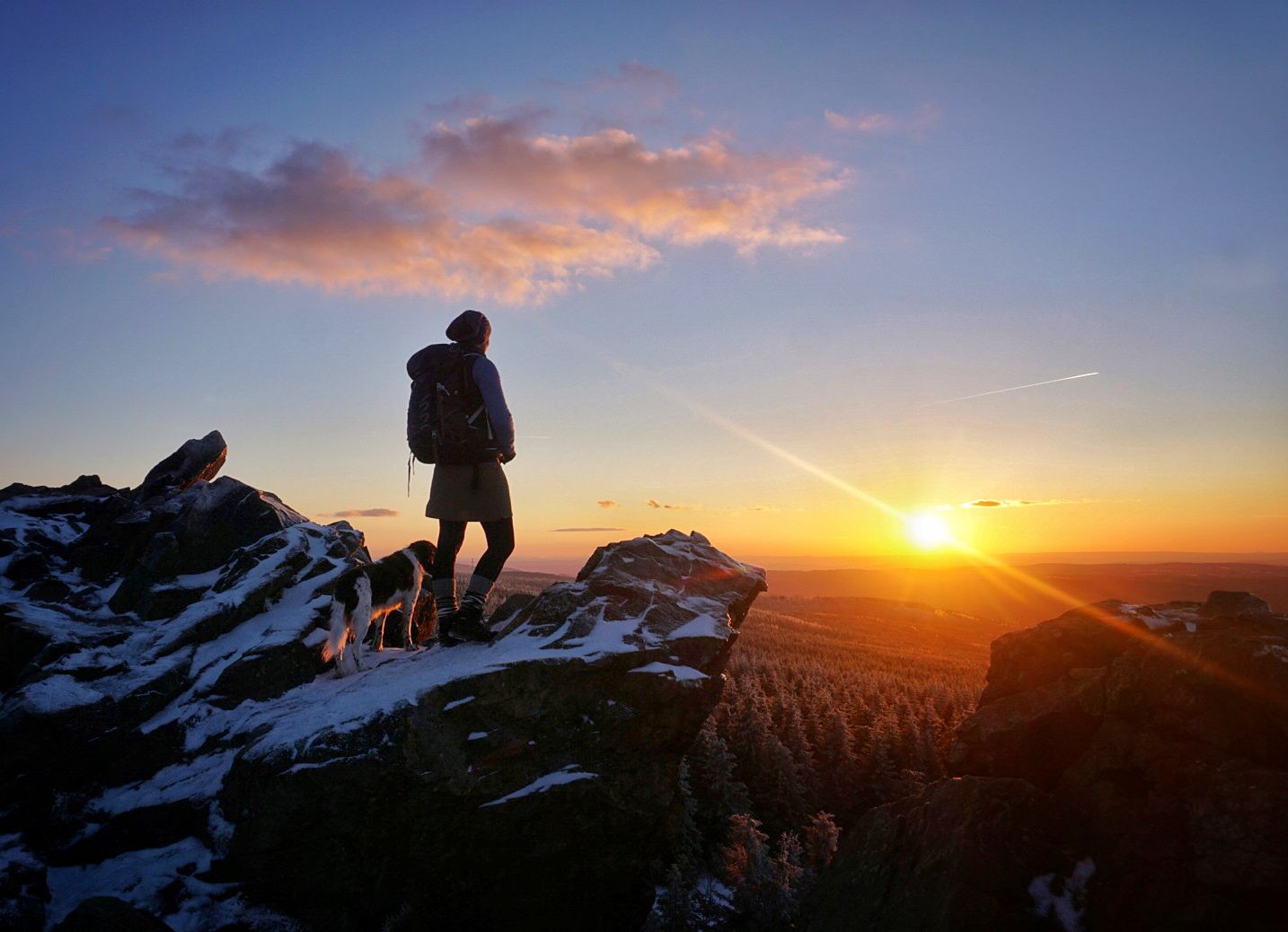
Explore beautiful winter hikes in Germany’s Harz Mountains
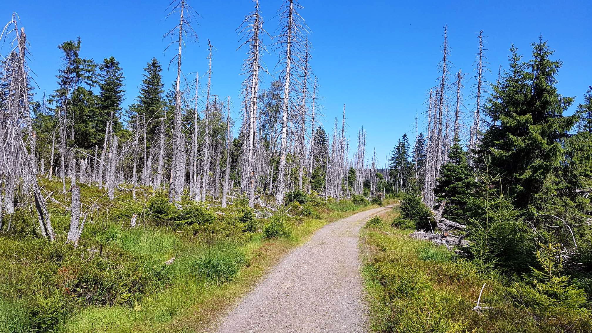
Moors, forests & trails – a Trans Harz double whammy

Discover the nature along the “Greenbelt” together with the BUND
Other adventures around Clausthal Zellerfeld


Tips from the Community

simply great to ride there
0
0

historic place on the way up
0
0
The journey is the destination - not always easy terrain, but very beautiful in dry weather
1
0

The Kranichteich is a historic, artificially created mining pond dating back to 1674. It is part of the Upper Harz Water Management System and is a UNESCO World Heritage Site.
2
0

The "Grüner Hirsch" (Green Stag) silver mine, belonging to the Burgstätter mining district and once located about 400 meters west of the Mittlerer Pfauenteich (Middle Peacock Pond), began operations in August 1645. It was one of the few, not particularly productive, ore mines in this mining area. This mine would probably have long since been forgotten if the pond, built around the same time and named after it, had not soon played a crucial role in mining near Clausthal. The exact date of the pond's construction has not been recorded, but it likely occurred at the same time as work began at the "Grüner Hirsch," or at least before 1660. In any case, a comprehensive document from 1661, which has survived to the present day, already lists the "Grüner Hirsch Pond" as part of the water supply for the Burgstätter main drainage system. Source: https://www.harzlife.de/teiche/hirschler-teich.html
1
0
Located on the southeastern edge of Clausthal-Zellerfeld, the Hirschler Pond is one of the most impressive visible legacies of centuries of mining activity in the Upper Harz Mountains. This reservoir is the uppermost and, with its extensive and compact surface area, by far the largest man-made body of water in what is arguably the most striking cascade of ponds in the Harz. Together with the three Peacock Ponds below it, it, as the largest of these four "blue eyes," shapes the iconic image of the historic Upper Harz water management system. Source: https://www.harzlife.de/teiche/hirschler-teich.html
1
0

The railway line to Clausthal was closed in 1976, and with it the railway station.
1
0

There are a few ponds here due to mining - it's fun to drive over the dams
1
0
Frequently Asked Questions
How many no-traffic touring cycling routes are available in Clausthal-Zellerfeld?
Clausthal-Zellerfeld offers a wide selection of no-traffic touring cycling routes. You can find over 140 routes specifically designed for touring cyclists, ensuring a peaceful ride through the scenic Harz landscape.
What are the difficulty levels of the no-traffic touring cycling routes?
The routes cater to various fitness levels. You'll find approximately 19 easy routes, 54 moderate routes, and 75 more challenging routes. This variety ensures that both casual riders and experienced cyclists can find suitable options for a traffic-free experience.
Are there family-friendly no-traffic touring cycling routes in Clausthal-Zellerfeld?
Yes, many of the routes are suitable for families. The region's network includes paths along former railway lines and through gentle forest sections, providing safe and enjoyable rides away from car traffic. Look for routes marked as 'easy' for the most family-friendly options.
Can I bring my dog on these touring cycling routes?
Generally, dogs are welcome on leashes on most public cycling paths in the Harz Mountains. However, it's always advisable to check specific route regulations, especially within the Harz National Park boundaries, to ensure a pleasant experience for both you and your pet. Many routes through forests and along water features are ideal for cycling with a dog.
Are there circular no-traffic touring cycling routes available?
Yes, many of the no-traffic touring routes in Clausthal-Zellerfeld are designed as loops, allowing you to start and end at the same point. For example, consider the moderate Hausherzberger Ponds – Former Altenau Railway Station loop from Clausthal-Zellerfeld, which offers a scenic circular ride.
What kind of terrain can I expect on these no-traffic touring cycling routes?
You can expect diverse terrain, ranging from paved paths along former railway lines to unpaved forest tracks and gravel paths through mountain meadows. The routes often wind through dark green spruce forests and past the historic Upper Harz Water Regale, offering a mix of gentle slopes and some more challenging ascents and descents.
Do any routes pass by the Upper Harz Water Regale?
Absolutely! The Upper Harz Water Regale, a UNESCO World Heritage site, is a defining feature of the region. Many no-traffic routes are specifically designed to follow these historic ponds, ditches, and watercourses, offering unique insights into the region's mining history alongside beautiful natural scenery. You'll frequently encounter these fascinating water management structures on your rides.
What attractions can I see along or near these routes?
Beyond the natural beauty, you can explore various attractions. Many routes pass by the numerous lakes and reservoirs of the Upper Harz Water Regale, such as Oderteich or Bärenbrucher Pond. You might also encounter historical sites like the Imperial Palace of Goslar or the Ruins of the Great Harzburg Castle, which are accessible from some routes or nearby areas.
Is parking available near the starting points of these routes, or can I use public transport?
Clausthal-Zellerfeld offers various parking options, often near popular trailheads or in the town center. For public transport, the region is served by bus lines connecting to surrounding towns, which can be useful for reaching starting points or returning from a longer ride. It's advisable to check local transport schedules and parking availability for your specific route.
When is the best time of year to cycle these no-traffic routes?
The best time to cycle in Clausthal-Zellerfeld is typically from spring to autumn. Spring offers vibrant wildflowers in the mountain meadows, while summer provides pleasant temperatures for longer rides. Autumn brings stunning foliage. While some routes may be accessible in winter, conditions can be challenging due to snow and ice, making it more suitable for cross-country skiing.
Are there places to stop for refreshments or accommodation along the routes?
Yes, the region is well-equipped with amenities. Many routes pass through or near small villages and towns where you can find cafes, restaurants, and pubs. Clausthal-Zellerfeld itself offers various accommodation options, from hotels to guesthouses. It's a good idea to plan your stops in advance, especially on longer routes through more secluded forest areas.
What do other cyclists say about the no-traffic touring routes in Clausthal-Zellerfeld?
The komoot community highly rates the touring cycling experience in Clausthal-Zellerfeld, with an average score of 4.5 stars from over 1,300 ratings. Reviewers often praise the tranquility of the routes, the stunning natural landscapes, and the well-maintained paths that allow for peaceful rides away from traffic.
Most popular routes around Clausthal Zellerfeld
Most popular attractions around Clausthal Zellerfeld

Get inspired with the komoot mobile app


Explore more
Browse the best Cycling routes in other regions.
