The best mountain hikes around Friedrichsdorf
4.8
(4)
26
hikers
14
hikes
Mountaineering around Friedrichsdorf is centered in the Taunus mountains, a region characterized by extensive forested areas, meadows, and rocky outcrops. The landscape features prominent peaks such as Großer Feldberg, the highest point in the Taunus, and Altkönig, both offering elevated perspectives. The area's terrain includes significant elevation gains, particularly on routes leading to these summits, and is traversed by natural features like the River Erlenbach. This diverse environment provides varied challenges for mountaineers.
Best mountaineering routes around Friedrichsdorf
- The most…
Last updated: October 5, 2026
4.7
(3)
8
hikers
17.6km
05:35
700m
700m
Hard mountaineering route. Very good fitness required. Mostly accessible paths. Sure-footedness required.
1
hikers
Moderate mountaineering route. Good fitness required. Mostly accessible paths. Sure-footedness required.

6
hikers
Moderate mountaineering route. Good fitness required. Mostly accessible paths. Sure-footedness required.
18.9km
05:48
660m
660m
Hard mountaineering route. Very good fitness required. Mostly accessible paths. Sure-footedness required.
5.0
(1)
3
hikers
22.0km
06:47
750m
750m
Hard mountaineering route. Very good fitness required. Mostly accessible paths. Sure-footedness required.
Get access to more routes and recommendations from other explorers.
Already have an account?
Our route recommendations are based on thousands of hikes, rides, and runs completed by other people on komoot.
Start today with a free account
Your next adventure awaits.
Popular around Friedrichsdorf
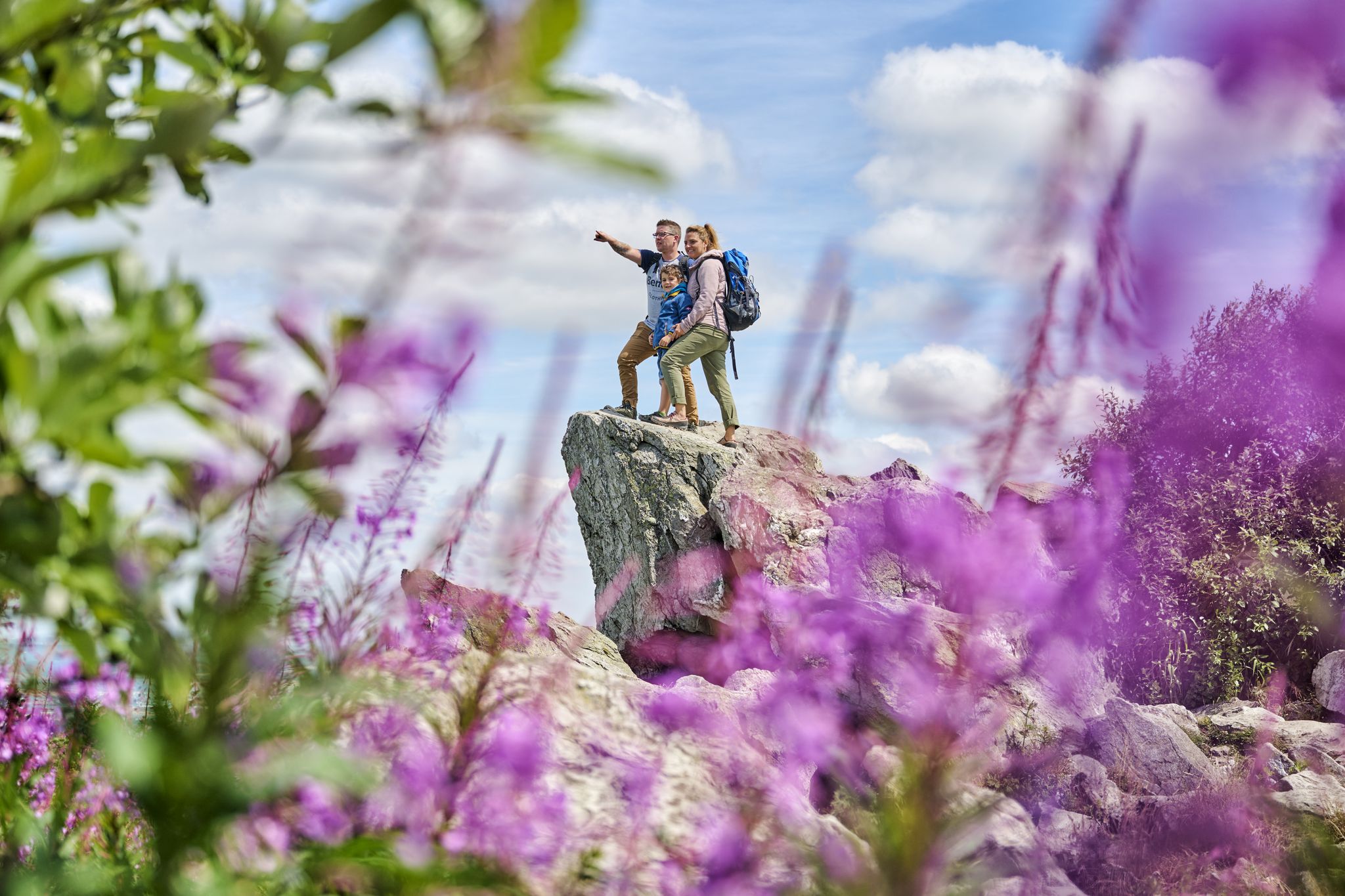
History, forest and gnomes – hiking in Germany’s Hochtaunus region
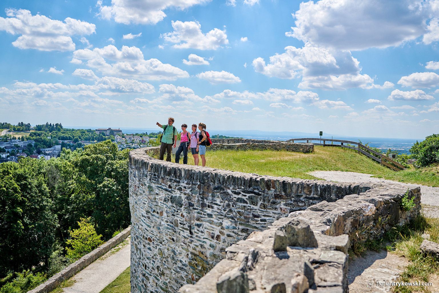
Experience nature and culture — hiking in Germany’s Taunus region
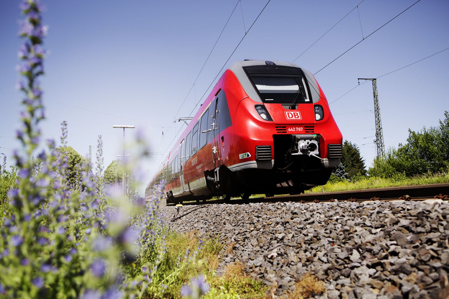
Into the countryside! — hike with Germany’s Rhine-Main Transport Network
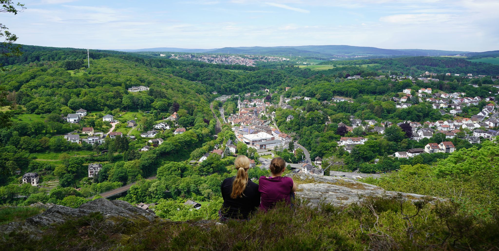
Exploring nature — hikes in Germany’s Taunus Mountains
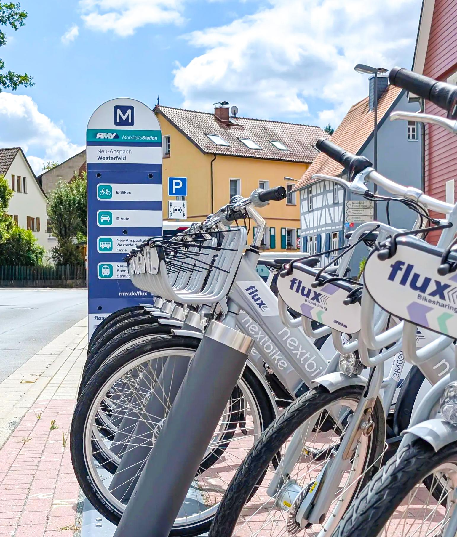
Mit flux & Bahn – Radtouren im Usinger Land
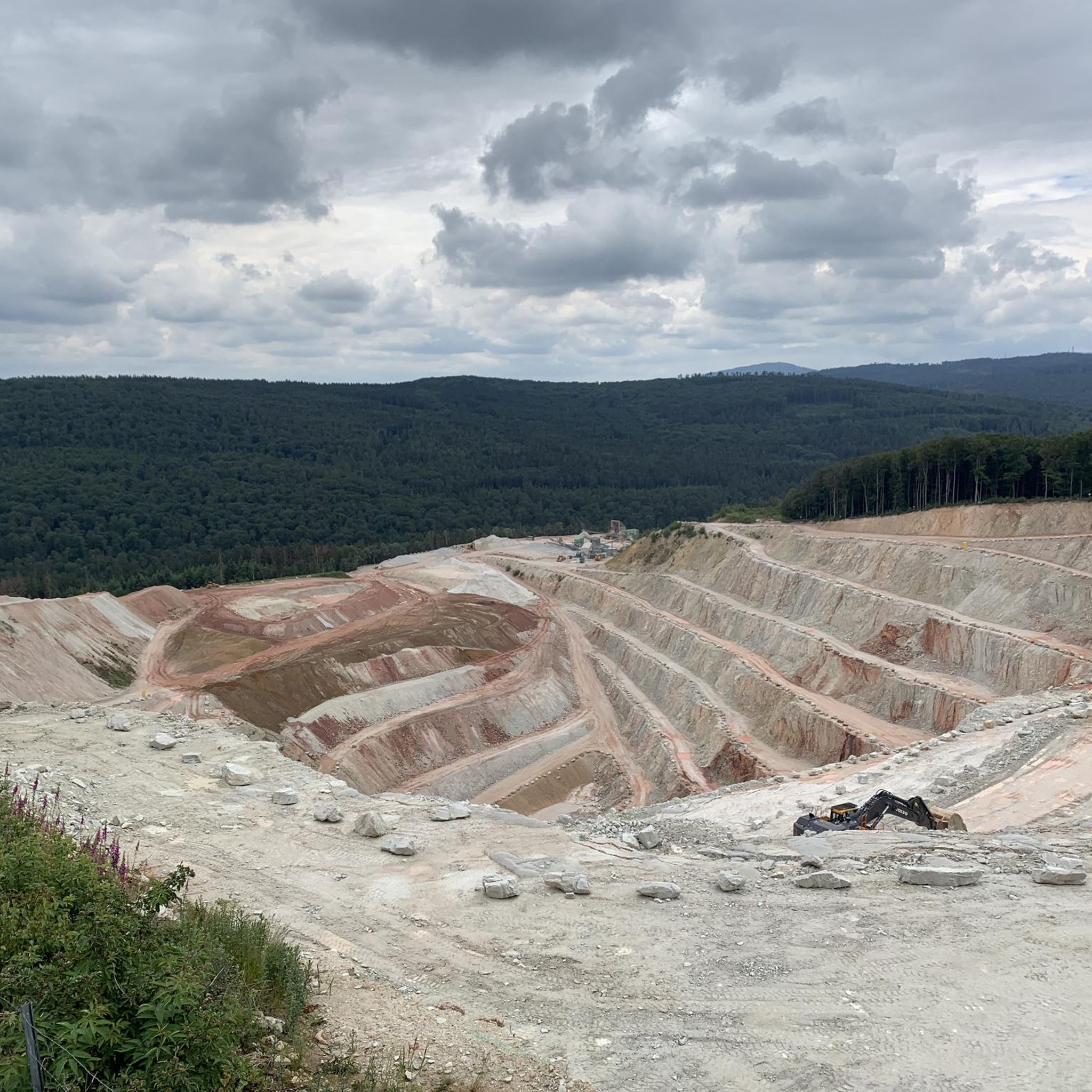
Cycling around Friedrichsdorf
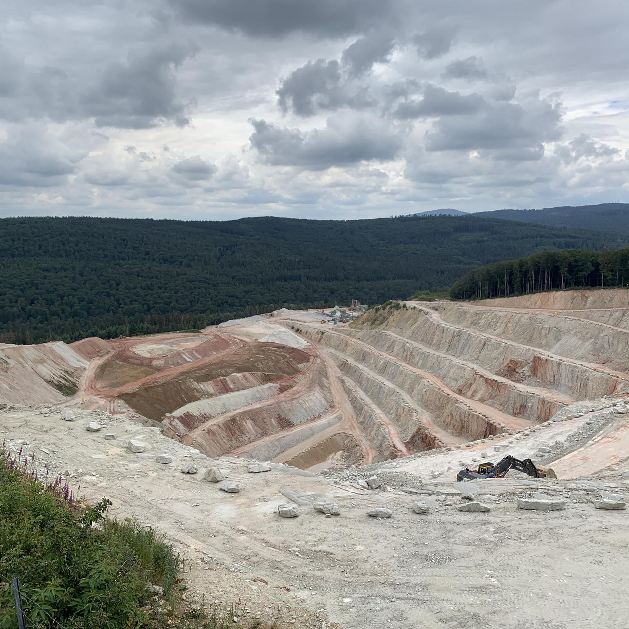
Hiking around Friedrichsdorf
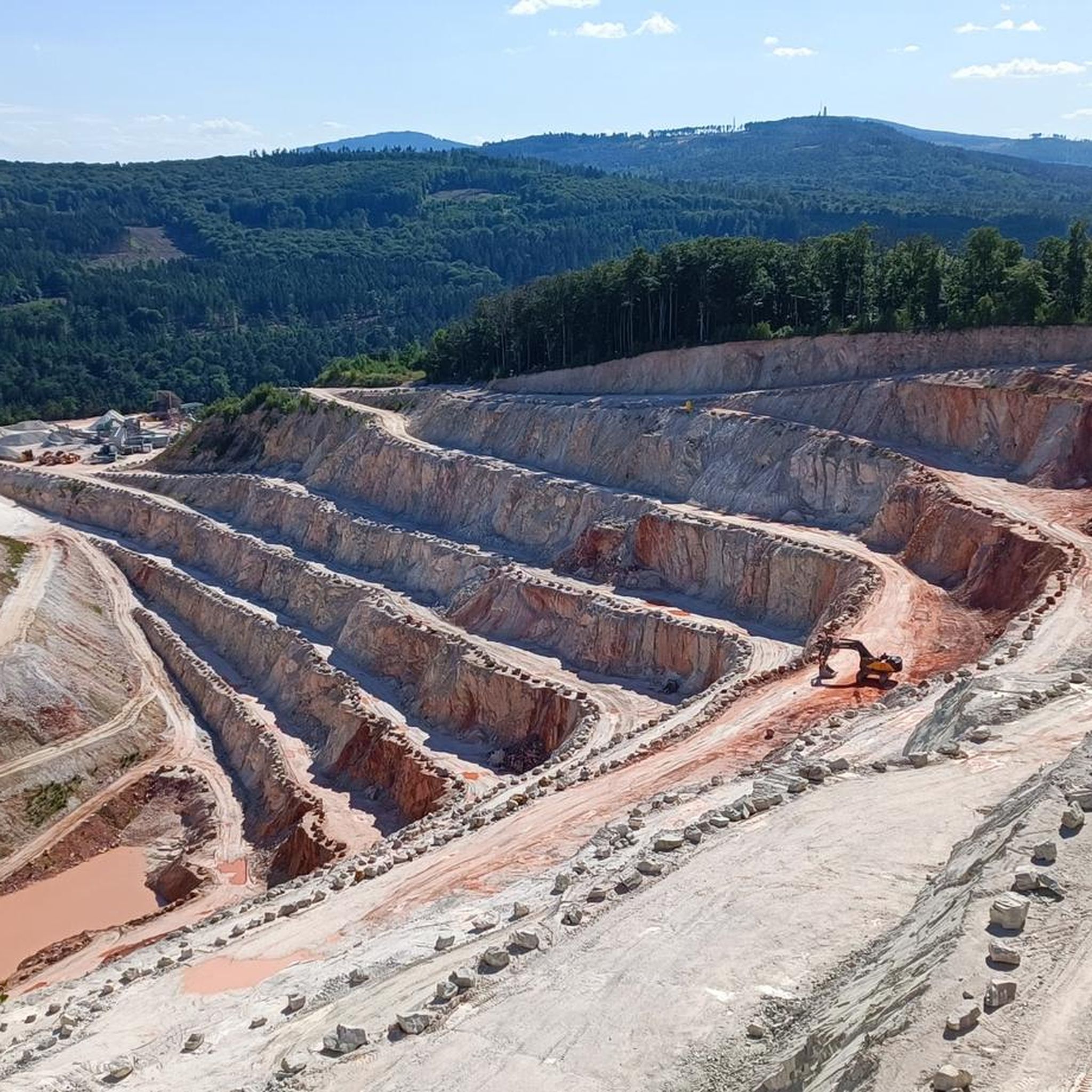
MTB Trails around Friedrichsdorf
Road Cycling Routes around Friedrichsdorf
Running Trails around Friedrichsdorf
Other adventures around Friedrichsdorf


Tips from the Community

Nice little break spot. Many illegal fire pits
0
0

Today I saw the new summit cross. ⛰️
1
0

The White Wall in the Taunus Mountains is a quartzite field formed during the Ice Age on the Altkönig mountain by frost weathering. It lies at a maximum elevation of 634 meters above sea level [1] near Oberursel in the Hochtaunus district of Hesse. The area is designated as a nature reserve 🤩
14
0
Lots of rubble but worth seeing.
1
0

Simply wonderful and delicious climb 😜
1
0
Sneakers not recommended, surefootedness and stability are required here 🤗
1
1

The mountain rescue station on the Feldberg is an important base for the mountain rescue service, which ensures safety in the surrounding hiking and skiing areas. It is located near the highest point of the Feldberg and serves as a rescue and care station for mountain accidents. Hikers and skiers can receive help here in an emergency, and the station is also a contact point for the mountain rescue service, which is regularly active in the region.
7
0
Frequently Asked Questions
How many mountaineering routes are available around Friedrichsdorf?
There are 15 mountaineering routes around Friedrichsdorf, offering a diverse range of experiences in the Taunus mountains. These routes cater to various fitness levels, with 1 easy, 10 moderate, and 4 difficult options.
Are there any family-friendly mountaineering routes in the area?
While many routes in the Taunus are challenging, there are options suitable for families. The region offers family-friendly hiking trails, often with information boards and picnic areas, such as the circular path around the Köpperner Bach stream. For a moderate mountaineering experience that might suit active families, consider the Altkönig Summit – Rocky Trail on Altkönig loop from Großer Feldberg, which is 7.9 km long.
Can I bring my dog on the mountaineering trails?
Yes, the Taunus mountains are generally dog-friendly, and many trails are suitable for hiking with dogs. It's always advisable to keep your dog on a leash, especially in forested areas or near wildlife. The varied terrain, including forested areas and meadows, provides a great environment for you and your canine companion.
What kind of natural features and landmarks can I expect to see on these routes?
The routes around Friedrichsdorf are rich in natural beauty and historical landmarks. You'll encounter extensive forested areas, meadows, and rocky outcrops. Prominent natural features include the Großer Feldberg, the highest peak in the Taunus, and Altkönig, both offering spectacular views. Some routes also pass by historical sites like the Altkönig Ringwall. You might also spot highlights such as the Winterstein tower or the Steinkopf TV Tower.
Are there any circular mountaineering routes available?
Yes, many of the mountaineering routes around Friedrichsdorf are circular, allowing you to start and end at the same point. A popular moderate circular route is the Altkönig Ringwall – Altkönig Summit loop from Hohemark, which is 11.0 km long and takes about 3 hours 38 minutes. For a more challenging option, the Anita's Fuchstanz – Großer Feldberg Summit loop from Hohemark is a difficult 17.3 km circular trail.
What is the best time of year for mountaineering in Friedrichsdorf?
The Taunus region offers great mountaineering opportunities throughout much of the year. Spring and autumn provide pleasant temperatures and vibrant scenery, with lush greenery in spring and colorful foliage in autumn. Summer is also popular, though some routes can be strenuous in warmer weather. Winter mountaineering is possible, but conditions can be challenging with snow and ice, especially on higher peaks like Großer Feldberg, requiring appropriate gear.
Are there any easy mountaineering routes for beginners?
Yes, there is at least one easy mountaineering route available, making it suitable for beginners or those looking for a less strenuous experience. While specific easy routes are not detailed here, the overall selection includes options for various ability levels.
What are some of the more advanced or difficult mountaineering routes?
For experienced mountaineers seeking a challenge, there are several difficult routes. The Anita's Fuchstanz – Großer Feldberg Summit loop from Hohemark is a demanding 17.3 km trail with significant elevation gain. Another difficult option is the To Felsenhöhe at Fuchstanz – Großer Feldberg Summit loop from Hohemark, spanning 21.1 km.
Are there places to eat or drink near the trails?
Yes, the Taunus region, including areas around Friedrichsdorf, has various cafes and pubs. Some routes might pass by establishments like the Forellengut Herzberger, which is a restaurant highlight. It's always a good idea to check opening times and locations beforehand, especially if you plan to rely on them for refreshments during your tour.
What do other mountaineers say about the routes in Friedrichsdorf?
The mountaineering routes around Friedrichsdorf are highly regarded by the komoot community, with an impressive average score of 4.75 stars from more than 7 reviews. Mountaineers often praise the varied terrain, the stunning views from peaks like Großer Feldberg and Altkönig, and the well-maintained paths through the forested Taunus landscape.
How can I reach the starting points of these routes using public transport?
Friedrichsdorf is located at the foot of the Taunus mountains, and public transport options are available to reach various starting points. While specific bus or train connections for each trailhead vary, the region is generally well-connected within the Rhine-Main area, allowing access to the Taunus. It's recommended to check local public transport schedules for the most up-to-date information on reaching specific trailheads.
Are there any lakes or water features along the mountaineering routes?
While the River Erlenbach flows down from the Taunus heights and through Friedrichsdorf, the mountaineering routes primarily focus on the mountain terrain. However, the wider region around Friedrichsdorf does feature lakes such as Bärenfichtenweiher and Hattsteinweiher, which can be explored separately or as part of other tours.
Where can I find parking for the mountaineering trails?
Parking is generally available at common starting points for hiking trails in the Taunus mountains. For routes originating from areas like Hohemark or Großer Feldberg, designated parking lots are usually provided. It's advisable to research specific parking options for your chosen trailhead in advance, especially during peak seasons, to ensure availability.
Most popular routes around Friedrichsdorf
Most popular attractions around Friedrichsdorf

Get inspired with the komoot mobile app


Explore more
Browse the best Mountain Hikes & Routes in other regions.
