The best traffic-free bike rides around Friedrichsdorf
4.6
(1051)
4,495
riders
105
rides
No traffic touring cycling routes around Friedrichsdorf are set within a varied landscape, situated between the rolling hills of the Taunus Mountains and the flatter Main Plain. The region features dense forests, idyllic valleys, and the expansive Nidda Floodplains, offering diverse terrain for cyclists. Elevations range from gentle riverside paths to more challenging climbs within the Taunus foothills.
Best no traffic touring cycling routes around Friedrichsdorf
- The most popular no traffic touring cycling route is View of the Frankfurt Skyline…
Last updated: September 30, 2026
4.7
(87)
352
riders
49.7km
02:56
250m
250m
Moderate bike ride. Good fitness required. Mostly paved surfaces. Suitable for all skill levels.
4.6
(114)
413
riders
Moderate bike ride. Good fitness required. Mostly paved surfaces. Suitable for all skill levels.

4.7
(92)
325
riders
Moderate bike ride. Good fitness required. Mostly paved surfaces. Suitable for all skill levels.
4.8
(61)
281
riders
35.8km
02:51
780m
780m
Hard bike ride. Very good fitness required. You may need to push your bike for some segments of this route.
4.6
(34)
141
riders
33.5km
02:02
130m
130m
Moderate bike ride. Good fitness required. Mostly paved surfaces. Suitable for all skill levels.
Get access to more routes and recommendations from other explorers.
Already have an account?
Our route recommendations are based on thousands of hikes, rides, and runs completed by other people on komoot.
Start today with a free account
Your next adventure awaits.
Popular around Friedrichsdorf

History, forest and gnomes – hiking in Germany’s Hochtaunus region
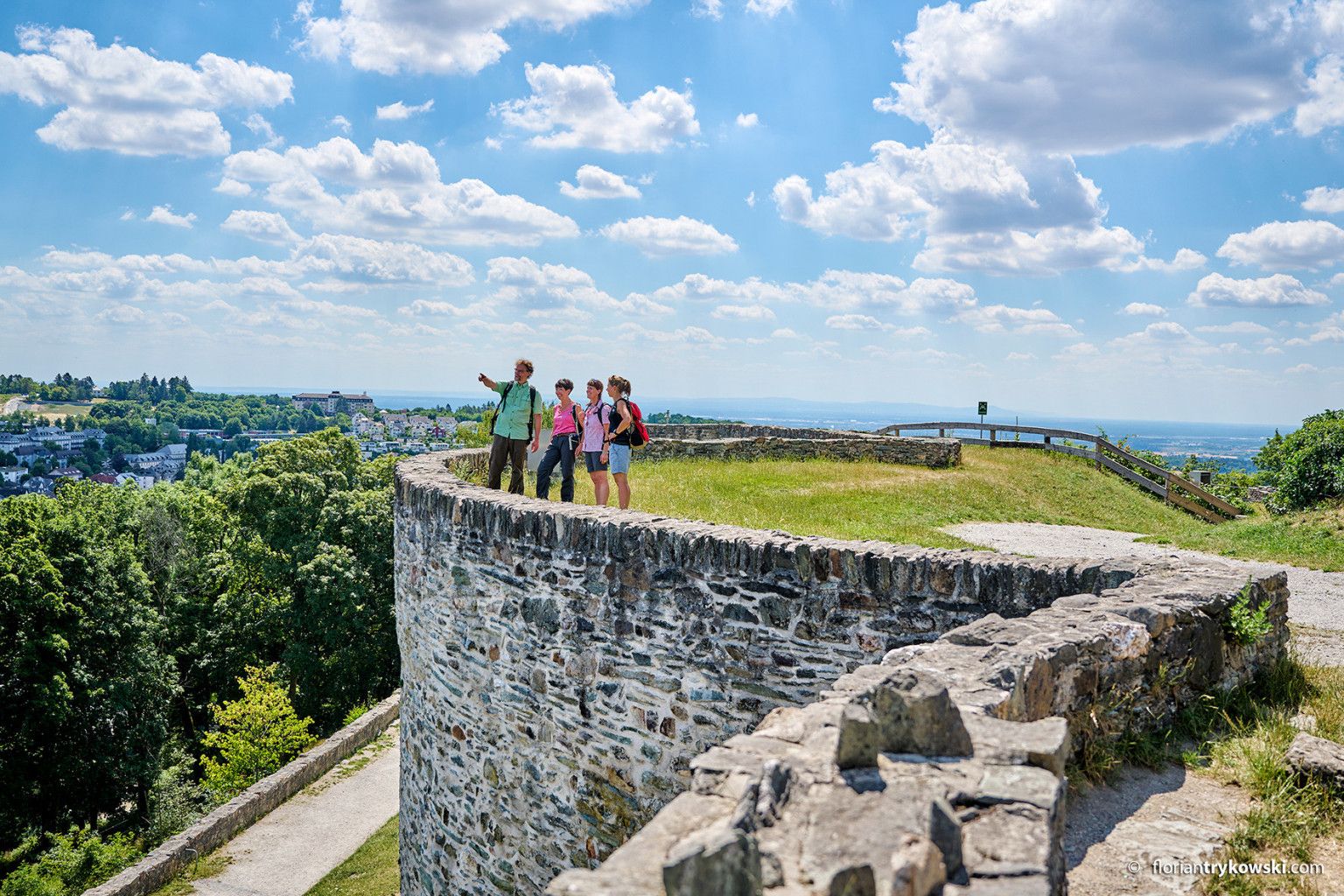
Experience nature and culture — hiking in Germany’s Taunus region
Into the countryside! — hike with Germany’s Rhine-Main Transport Network
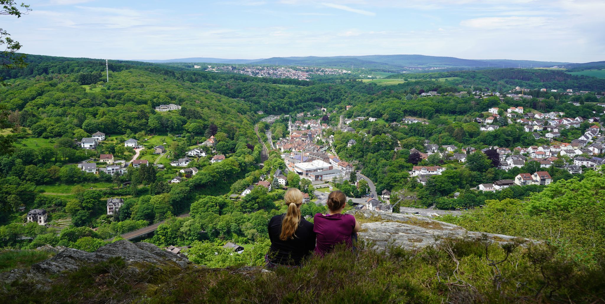
Exploring nature — hikes in Germany’s Taunus Mountains
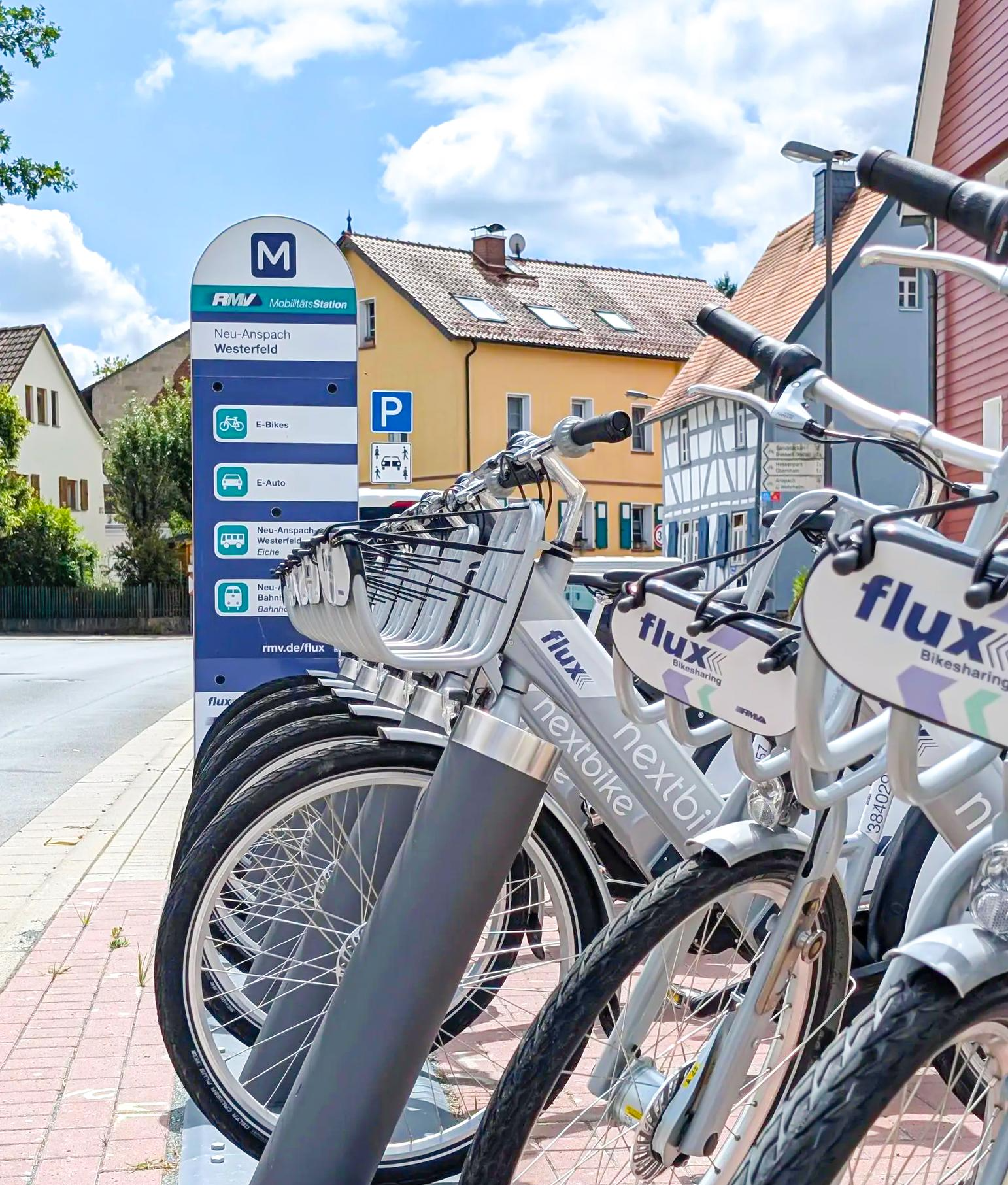
Mit flux & Bahn – Radtouren im Usinger Land

Traffic-free bike rides around Friedrichsdorf

Traffic-free bike rides around Friedrichsdorf
Other adventures around Friedrichsdorf


Tips from the Community

Beautiful trail
0
0

It is pleasant to cycle here in any season.
2
0

Details of the conversionNew weir: An approximately 70-meter-long, slightly curved weir directs water into the Grill's old riverbed.Sill and ramp: In the main bed of the Nidda, a rough stone embankment (sill ramp) ensures natural height equalization.Fish passage: New fish ladders enable fish to pass unhindered from the Main to the upper Nidda.
0
0
Completion: The redevelopment work by Frankfurt's drainage department was officially completed in August 2025 after two and a half years of construction.
0
0
New weir: An approximately 70-meter-long, slightly curved weir diverts water into the Grill's old arm. Rock ramp and slide: In the main riverbed of the Nidda, a rough stone embankment (rock ramp) ensures natural height equalization. Fish ladder: New fish ladders enable fish to pass unimpeded from the Main to the upper Nidda.
0
0
The Sossenheimer weir on the Nidda has been converted into a nature- and fish-passable weir with a bottom slide and fish ladders.
1
0

This is not just a weir, but a sliding weir
0
0

Great how the Nidda meanders through the landscape here. After years of renaturation efforts, numerous animal and plant species find their habitat in the species-rich floodplains. Kingfishers, beavers, and even the European pond turtle have been able to resettle here.
3
0
Frequently Asked Questions
How many no-traffic touring cycling routes are available around Friedrichsdorf?
There are over 110 dedicated no-traffic touring cycling routes around Friedrichsdorf, offering a wide variety of distances and difficulty levels to explore the region's beautiful landscapes.
What kind of terrain can I expect on no-traffic touring cycling routes near Friedrichsdorf?
The terrain varies significantly. Routes often traverse the rolling hills and dense forests of the Taunus Mountains, offering some climbs and descents. Other routes follow the flatter, mostly paved surfaces of the Nidda Floodplains or the Rhine-Main Regional Park, providing gentler rides. You'll find a mix of challenging mountain sections and moderate, scenic paths.
What do other cyclists say about the no-traffic touring routes in Friedrichsdorf?
The no-traffic touring routes in Friedrichsdorf are highly rated by the komoot community, with an average score of 4.6 out of 5 stars from over 1000 ratings. Reviewers often praise the quiet, scenic paths, the varied landscapes, and the opportunity to enjoy nature away from vehicle traffic.
Are there easy, no-traffic touring cycling routes suitable for beginners in Friedrichsdorf?
Yes, approximately 34 of the no-traffic touring cycling routes around Friedrichsdorf are classified as easy. These routes typically feature fewer elevation changes and are ideal for beginners or those looking for a relaxed ride. Many routes along the Nidda Floodplains are particularly suitable for a leisurely pace.
Are there challenging no-traffic touring cycling routes for experienced riders?
Absolutely. For experienced riders seeking a challenge, there are 18 difficult no-traffic touring cycling routes. These often venture deeper into the Taunus Mountains, featuring significant climbs and descents. An example is the Upper Slope Trail (Taunus) – Brunhildis Rock loop from Seulberg, which includes over 790 meters of elevation gain.
Are the no-traffic touring cycling routes around Friedrichsdorf suitable for families?
Many of the easy and moderate no-traffic routes are well-suited for families. The flatter sections, such as those found in the Nidda Floodplains, provide safe and enjoyable cycling experiences away from traffic, perfect for all ages. Look for routes with mostly paved surfaces and minimal elevation changes.
What are some notable landmarks or natural features I can see along these routes?
You can discover a variety of landmarks and natural features. Routes often pass by the historic Limes, offering insights into Roman history. Natural highlights include the Nidda River Landscape and the Confluence of the Nidder and the Nidda. You might also catch glimpses of the Großer Feldberg Summit or enjoy views of the Frankfurt skyline on some paths, such as the View of the Frankfurt Skyline – Nidda Riverside Trail loop from Seulberg.
Are there any circular no-traffic touring cycling routes available?
Yes, many of the no-traffic touring cycling routes around Friedrichsdorf are designed as loops, allowing you to start and end at the same point without retracing your steps. Examples include the Confluence of the Nidder and the Nidda – Nidda Floodplains loop from Burgholzhausen and the Confluence of the Nidder and the Nidda – Nidda Floodplains loop from Friedrichsdorf.
What is the best time of year to go touring cycling in Friedrichsdorf?
The best seasons for touring cycling in Friedrichsdorf are spring and summer, when the landscape is in full bloom and the weather is generally mild and pleasant. Autumn also offers spectacular colors in the forests of the Taunus Mountains, making for a beautiful ride. While some routes are accessible year-round, spring through autumn provides the most enjoyable conditions.
Are there places to eat or drink along the no-traffic touring routes?
Yes, many routes pass through charming villages like Königstein and Kronberg, which feature historic half-timbered houses and offer opportunities to stop at local cafes and pubs. The region is well-equipped with places to refresh and refuel, especially along the more popular routes.
Is public transport accessible near the no-traffic touring cycling routes?
Friedrichsdorf is well-connected by public transport, and many routes are designed to be accessible from local train stations, allowing you to easily reach starting points without a car. This makes it convenient to plan your cycling adventure using a combination of bike and public transport.
Where can I park my car if I drive to a starting point?
Parking facilities are generally available in and around Friedrichsdorf, particularly near popular trailheads and village centers. It's advisable to check specific route descriptions for recommended parking spots close to your chosen starting point to ensure convenient access to the no-traffic paths.
Most popular routes around Friedrichsdorf
Most popular attractions around Friedrichsdorf

Get inspired with the komoot mobile app


Explore more
Browse the best Cycling routes in other regions.
