The best hikes from bus stations around Friedrichsdorf
4.6
(1269)
6,543
hikers
83
hikes
Bus station hiking trails around Friedrichsdorf offer access to the diverse landscapes of the Taunus mountain range. The region is characterized by extensive forested areas, picturesque meadows, and varied terrains, from gentle paths to more challenging ascents. Hikers can explore a network of trails that lead through lush greenery and offer views of the Rhine-Main region. Many routes also incorporate historical landmarks and natural features of the Taunus.
Best bus station hiking trails around Friedrichsdorf
- The most popular bus station…
Last updated: June 27, 2026
4.4
(38)
112
hikers
10.1km
02:57
290m
290m
Moderate hike. Good fitness required. Easily-accessible paths. Suitable for all skill levels.
4.5
(28)
95
hikers
7.57km
02:14
230m
230m
Moderate hike. Good fitness required. Easily-accessible paths. Suitable for all skill levels.

Sign up for free
4.6
(17)
65
hikers
Moderate hike. Good fitness required. Easily-accessible paths. Suitable for all skill levels.
4.6
(10)
36
hikers
13.7km
03:53
310m
310m
Moderate hike. Good fitness required. Easily-accessible paths. Suitable for all skill levels.
4.3
(8)
39
hikers
15.8km
04:27
320m
320m
Moderate hike. Good fitness required. Easily-accessible paths. Suitable for all skill levels.
Get access to more routes and recommendations from other explorers.
Sign up for free
Already have an account?
Our route recommendations are based on thousands of hikes, rides, and runs completed by other people on komoot.
Start today with a free account
Your next adventure awaits.
Login or Signup
Popular around Friedrichsdorf

History, forest and gnomes – hiking in Germany’s Hochtaunus region
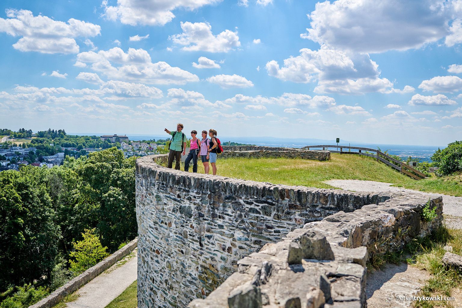
Experience nature and culture — hiking in Germany’s Taunus region
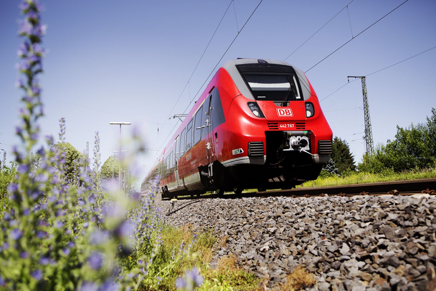
Into the countryside! — hike with Germany’s Rhine-Main Transport Network
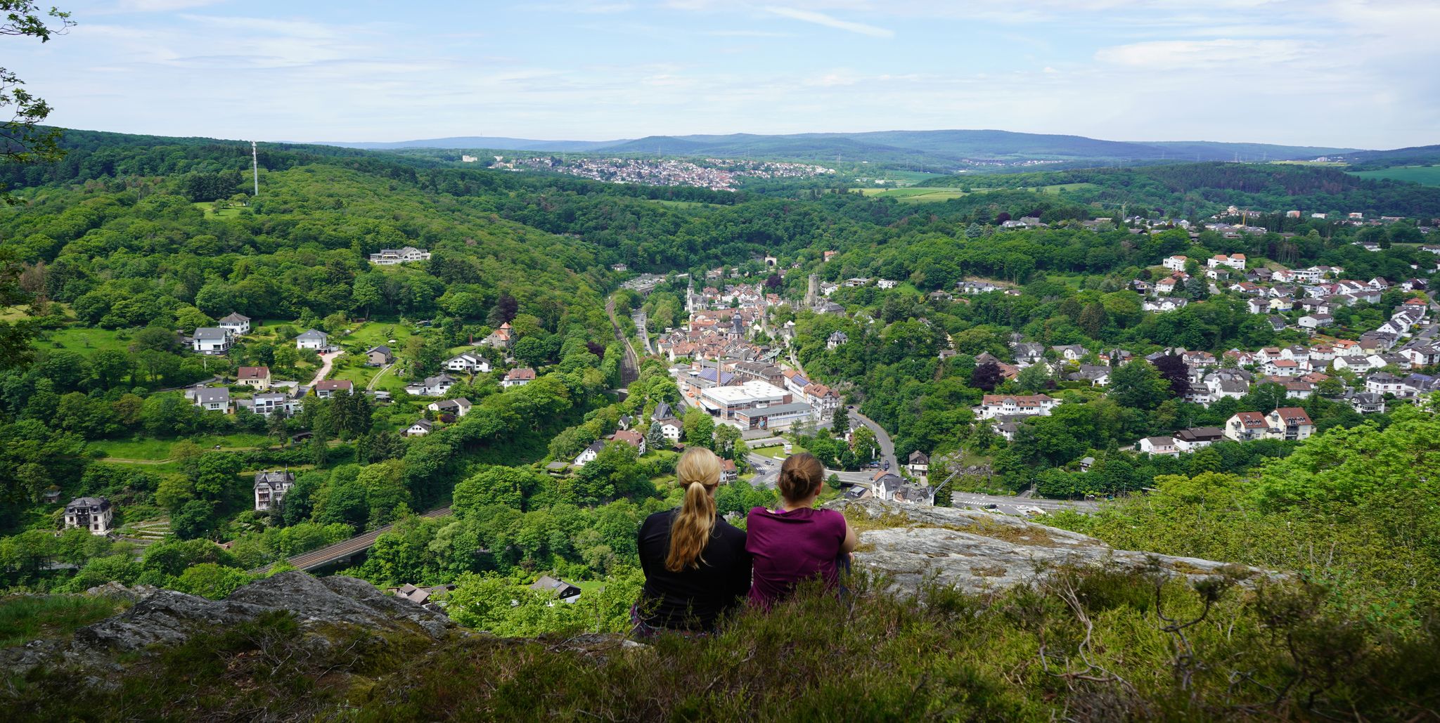
Exploring nature — hikes in Germany’s Taunus Mountains
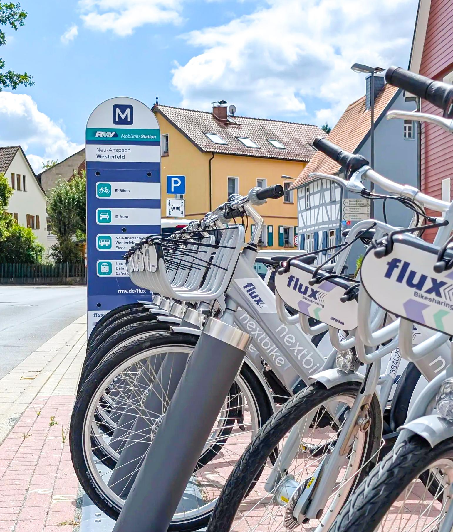
Mit flux & Bahn – Radtouren im Usinger Land
Other adventures around Friedrichsdorf


Tips from the Community

Only the foundation walls remain.
0
0
At the Saalburg
0
0

There is little to see from the wall but the view is great
0
0
Beautiful cabin with an even more beautiful view
1
0

Outside the fort there was probably once an outbuilding or residential building.
1
0
This is Roman guard post 3/68 of the nearby Limes. An explanatory panel is available.
1
0

Very nice place to stay
0
0

Beautiful viewpoint over the biotope
1
0
Frequently Asked Questions
How many bus station hiking trails are available around Friedrichsdorf?
There are nearly 90 hiking routes accessible from bus stations around Friedrichsdorf. The majority of these, over 60, are rated as easy, making them suitable for a wide range of hikers. Another 23 are moderate, and there is one challenging route for experienced adventurers.
What kind of landscapes can I expect on bus-accessible hikes in Friedrichsdorf?
Hikes accessible by bus in Friedrichsdorf offer a diverse range of landscapes within the Taunus mountain range. You'll find extensive forested areas, picturesque meadows, and refreshing streams like the Köpperner Bach. Many trails also provide magnificent panoramic views of the Rhine-Main region, especially from higher elevations.
Are there any family-friendly bus-accessible hikes in Friedrichsdorf?
Yes, many of the easy routes are perfect for families. The circular path around the Köpperner Bach stream, for instance, offers a gentle and enjoyable option. With over 60 easy trails available, you'll find plenty of choices for a relaxed family outing from a bus station.
Can I find historical landmarks along bus station hiking trails in Friedrichsdorf?
Absolutely. The region is rich in history. You can explore routes that lead to ancient sites and historical monuments. For example, the Gickelsburg Celtic ring fort – Saalburg Roman fort loop from Friedrichsdorf connects two significant historical sites. Another route, the Quartzite Quarry near Rosbach – Kapersburg Roman Fort loop from Köppern, also takes you past Roman history.
What are some notable viewpoints or natural features accessible via bus-friendly hikes?
Many bus-accessible trails offer stunning views. You can reach viewpoints like the View of Großer Feldberg from Altkönig or the Herzberg Tower and Herzberg Inn. Natural features include the Brunhildis Rock (Großer Feldberg) and the serene Nidda River Landscape, which can be incorporated into your hike.
What is the best time of year to go hiking from bus stations in Friedrichsdorf?
The best seasons for hiking in Friedrichsdorf are typically spring and autumn. During these times, the weather is most pleasant, and the natural scenery is particularly vibrant, whether it's the fresh greenery of spring or the rich colors of autumn foliage. Summer also offers great hiking, especially in the shaded forest areas.
Are there any longer, more challenging bus-accessible hikes for experienced hikers?
While most routes are easy to moderate, there are options for more experienced hikers. The region features one difficult route and several moderate ones that cover longer distances and greater elevation changes. For example, the Start of the Meisen Route – Saalburg Roman fort loop from Friedrichsdorf is a moderate 16 km hike with significant elevation gain.
What do other hikers say about the bus-accessible trails in Friedrichsdorf?
The bus-accessible trails in Friedrichsdorf are highly regarded by the komoot community, with an average rating of 4.6 out of 5 stars from over 1,100 reviews. Hikers often praise the well-marked paths, the diverse natural beauty of the Taunus, and the convenience of starting directly from public transport hubs.
Are there circular hiking routes that start and end at a bus station?
Yes, many of the bus-accessible routes are designed as circular trails, allowing you to start and finish at the same bus station without needing to arrange return transport. Examples include the View of Winterstein – Säunickel's Wardrobe loop from Friedrichsdorf and the Fox Holes Hut – Forest Path in the Taunus loop from Köppern.
Can I combine a bus-accessible hike with a visit to the Großer Feldberg?
Yes, the Großer Feldberg, the highest mountain in the Taunus, is a prominent feature in the region. While some routes might not go directly to the summit from a bus station, many offer views of it or connect to trails that lead towards it. You can find highlights like the Großer Feldberg Summit and the Brunhildis Rock (Großer Feldberg) within the broader hiking network.
Are there any bus-accessible trails that follow historical Roman Limes sections?
Yes, the region is known for its Roman history. The Limes Adventure Trail, which follows parts of the ancient Roman frontier, passes by significant sites like the Saalburg Roman fort. Routes such as the Gickelsburg Celtic ring fort – Saalburg Roman fort loop from Friedrichsdorf offer a chance to explore this historical heritage directly from a bus-accessible starting point.
Most popular routes around Friedrichsdorf
Most popular attractions around Friedrichsdorf

Get inspired with the komoot mobile app


Explore more
Browse the best Hikes in other regions.
