The best running trails around Niedertaufkirchen
4.3
(220)
3,615
runners
356
runs
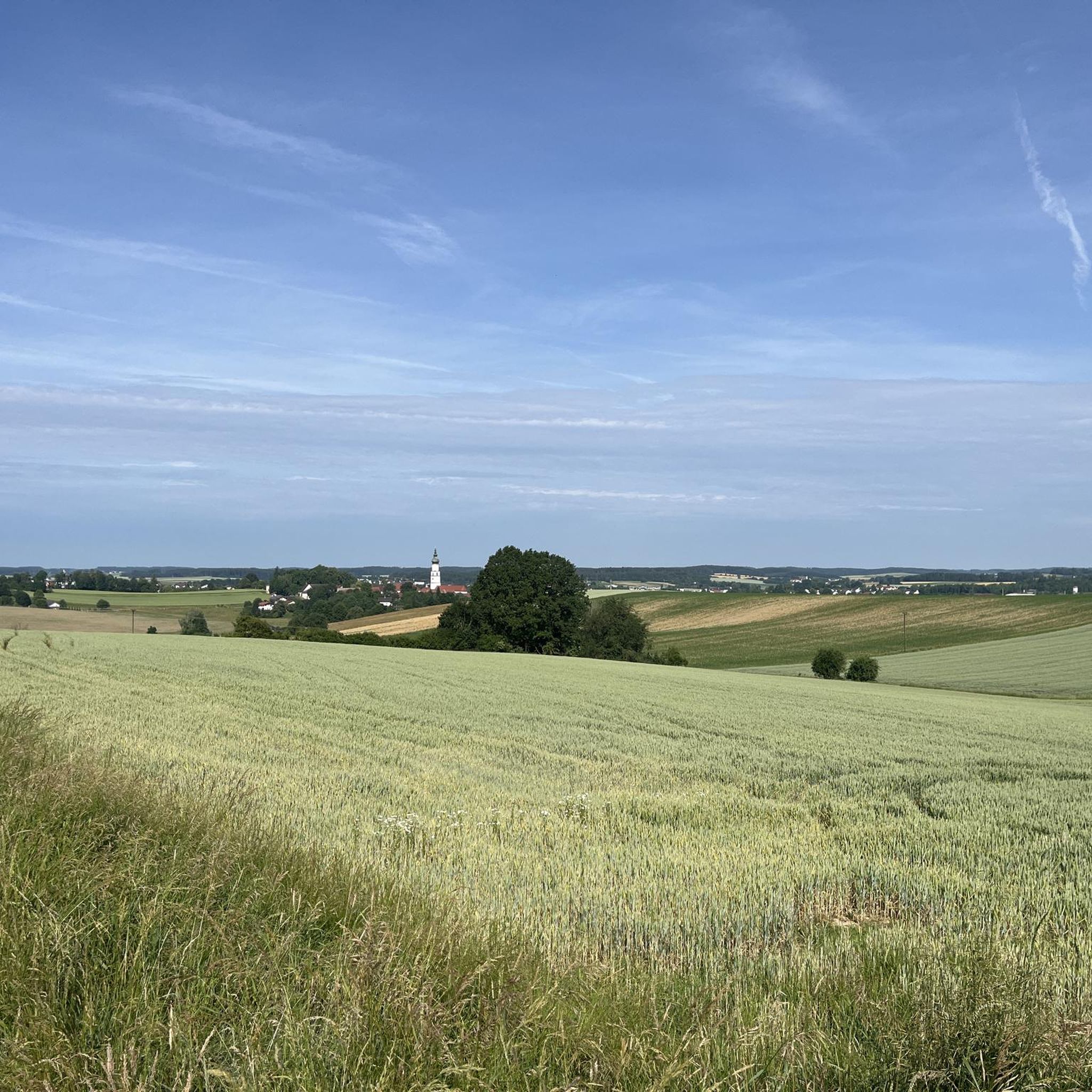
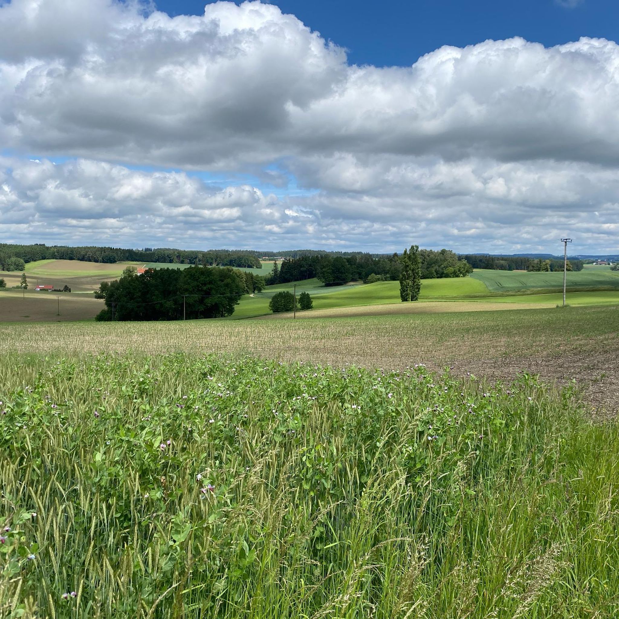
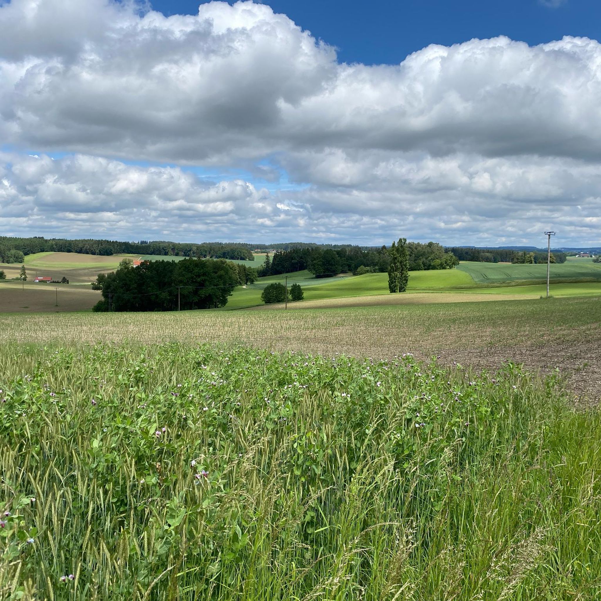
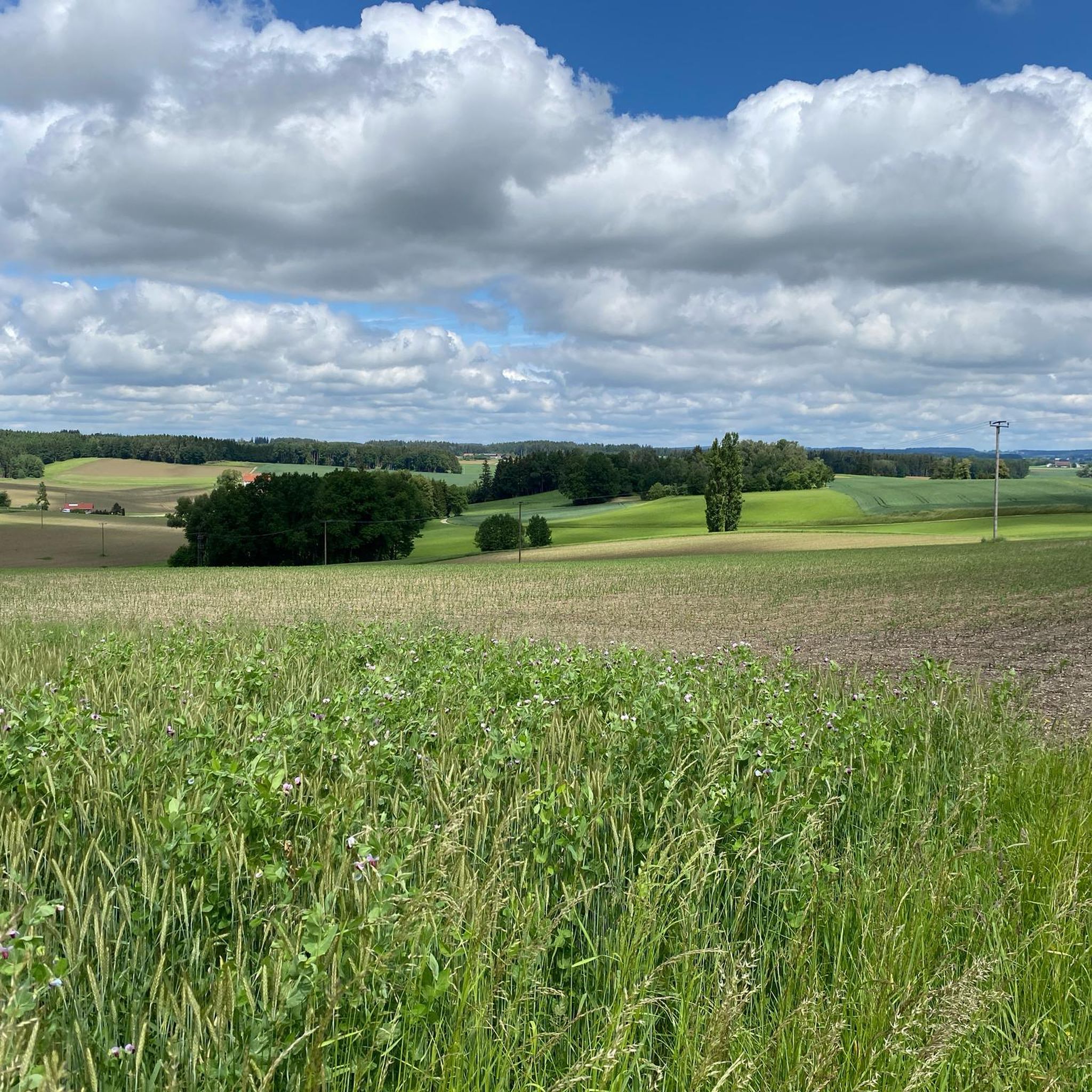
Jogging around Niedertaufkirchen offers diverse routes through a partially gently hilly and agriculturally shaped landscape. The region features green forests, tranquil lakes, and rolling hills, providing varied terrain for runners. This setting in the Alpine foothills offers captivating views and a serene backdrop for outdoor activity.
Best jogging routes around Niedertaufkirchen
- The most popular jogging route is Heiligenstadt Memorial Stone – Wayside shrine of the Visitation of Mary loop from Neumarkt-Sankt Veit, a 4.8 miles (7.7 km) trail that…
Last updated: July 5, 2026
5.0
(3)
50
runners
Moderate run. Good fitness required. Mostly paved surfaces. Suitable for all skill levels.
5.0
(3)
37
runners
6.63km
00:44
30m
30m
Moderate run. Good fitness required. Mostly paved surfaces. Suitable for all skill levels.

Sign up for free
4.5
(2)
22
runners
Moderate run. Good fitness required. Mostly paved surfaces. Suitable for all skill levels.
21
runners
Moderate run. Good fitness required. Mostly paved surfaces. Suitable for all skill levels.
18
runners
Moderate run. Good fitness required. Mostly paved surfaces. Suitable for all skill levels.
Get access to more routes and recommendations from other explorers.
Sign up for free
Already have an account?
Our route recommendations are based on thousands of hikes, rides, and runs completed by other people on komoot.
Start today with a free account
Your next adventure awaits.
Login or Signup
Tips from the Community

The city gates form the entrance to the town square in Neumarkt-Sankt Veit. It's hard to imagine that trucks had to pass through here before the bypass.
4
0
A magnificent monument that you can't just walk past. You can find the history of the monument here: https://www.ovb-heimatzeitungen.de/muehldorf/2018/08/05/ein-kriegerdenkmal-wird-80-jahre-alt.ovb
3
0

Monument Neumarkt Sankt Veit
2
0
War Memorial Neumarkt Sankt Veit - A part of our history
4
0
Neumarkt - St.Veit - The archway as access to the market square
3
0

The beautiful monastery is definitely worth seeing 😊
1
0

Inscription: In honor of the soldiers who died in the parish of St. Veit during the Franco-German wars in France in 1870/71. Lord, give you eternal rest!
2
0
To see: - Collegiate Church - Organ with case from 1639 - Inner courtyard of the monastery with surrounding farm buildings and stables - Historic town of Neumarkt-Sankt Veit under the monastery - Adelstein Castle below the monastery History compact: Sankt Veit was founded in 1121 and moved to the Vitusberg in 1171. In the 14th century the monastery was quite wealthy and was able to complete the church in 1501. In 1556 there were only 3 monks left in St. Vitus and the abbot was deposed. After that, the monastery was able to recover. After the second bloom in the 17th and 18th, the monastery was largely rebuilt after a fire in 1708. In 1802 the monastery was self-dissolved and taken over by the women's monastery Sankt Anna from Munich. The following owners: 1829 Saxon Baron Maximilian Speck von Sternburg 1858 Maximilian von Monteglas - used as a castle 1894 Anton Hertrich, director of the Löwn brewery. His son Otto successfully expanded the monastic brewery. The Klosterbräu Sankt Veit existed until 1934. From 1934 largely owned by the Kler.Semin. Freising. Total use since 1952 as a retirement home with a modern new building in 1996. Left: https://de.wikipedia.org/wiki/Kloster_Sankt_Veit https://www.stift-st-veit.de/historisches/
2
0
Frequently Asked Questions
How many running routes are available in Niedertaufkirchen?
There are over 360 running routes around Niedertaufkirchen listed on komoot, offering a wide variety of options for all skill levels. This includes 55 easy routes, 269 moderate routes, and 40 difficult trails for more experienced runners.
What kind of terrain can I expect on jogging routes in Niedertaufkirchen?
Jogging routes in Niedertaufkirchen feature diverse terrain, characterized by partially gently hilly and agriculturally shaped landscapes. You'll find yourself running through green forests, alongside tranquil lakes, and across rolling hills, all set within the picturesque Alpine foothills.
Are there easy running routes suitable for beginners in Niedertaufkirchen?
Yes, Niedertaufkirchen offers 55 easy running routes perfect for beginners or those looking for a relaxed jog. These paths typically have minimal elevation changes and provide a pleasant introduction to the region's beautiful scenery.
Are there any circular running routes in Niedertaufkirchen?
Many of the running routes in Niedertaufkirchen are designed as loops, allowing you to start and finish at the same point. For example, the Wayside shrine of the Visitation of Mary – Großes Reißl-Eckhaus loop from Neumarkt St Veit is a popular moderate circular trail covering 5.8 miles (9.3 km).
What natural features or landmarks can I see along the running trails?
Niedertaufkirchen's running routes often pass through scenic areas with natural features like green forests and idyllic lakes. You might also encounter historical landmarks. For instance, you could explore routes near Frauenbühl Castle or the serene Mitterskirchen Natural Swimming Pool.
Are there running routes that pass by lakes?
Absolutely. The region is known for its tranquil lakes, such as the Taufkirchener See, which offers a serene backdrop for a run. You can find routes that take you near beautiful bodies of water like the Silbersee or Isensee, providing refreshing views during your jog.
What do other runners enjoy most about jogging in Niedertaufkirchen?
The running trails in Niedertaufkirchen are highly rated by the komoot community, with an average score of 4.4 stars from over 230 reviews. Runners frequently praise the diverse landscapes, the peaceful atmosphere of the Alpine foothills, and the well-maintained paths that offer captivating views.
Are the running routes in Niedertaufkirchen suitable for families?
Yes, many routes are suitable for families, especially the easier trails with gentle elevation changes. The picturesque and safe environment, often through forests and along agricultural fields, makes for an enjoyable outing for all ages. Look for routes marked as 'easy' for the most family-friendly options.
Can I bring my dog on the running trails in Niedertaufkirchen?
Generally, dogs are welcome on most outdoor trails in Bavaria, including many running routes around Niedertaufkirchen. However, it's always advisable to keep your dog on a leash, especially in agricultural areas or near wildlife, and to respect local signage regarding pet regulations.
Is parking available near the running trails?
While specific parking information varies by trailhead, many popular starting points for running routes in Niedertaufkirchen, particularly those near towns or recreational areas, offer designated parking facilities. It's recommended to check the route details on komoot for specific parking recommendations for your chosen trail.
What is the best time of year for running in Niedertaufkirchen?
Niedertaufkirchen offers pleasant running conditions throughout much of the year. Spring and autumn provide mild temperatures and beautiful scenery with blooming flowers or vibrant foliage. Summer is also great, especially in the mornings or evenings, while winter running can be picturesque, though some paths might require appropriate footwear due to snow or ice.
Are there any challenging running routes for experienced runners?
For experienced runners seeking a challenge, Niedertaufkirchen offers 40 difficult routes. These trails typically feature more significant elevation changes and varied terrain, providing a more strenuous workout while still showcasing the region's beautiful landscapes.
Most popular routes around Niedertaufkirchen
Most popular attractions around Niedertaufkirchen

Get inspired with the komoot mobile app


Explore more
Browse the best Running Trails & Routes in other regions.
