The best gravel rides around Niedertaufkirchen
4.2
(34)
157
riders
24
rides
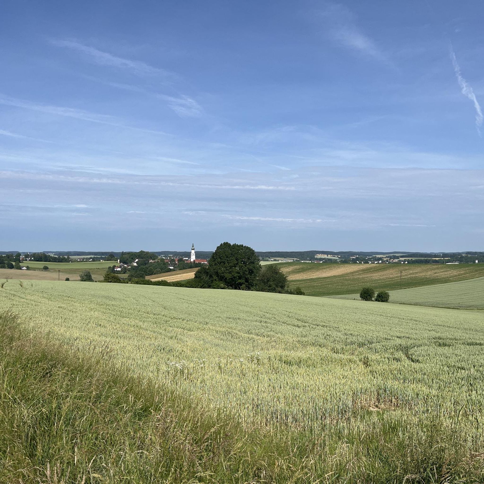
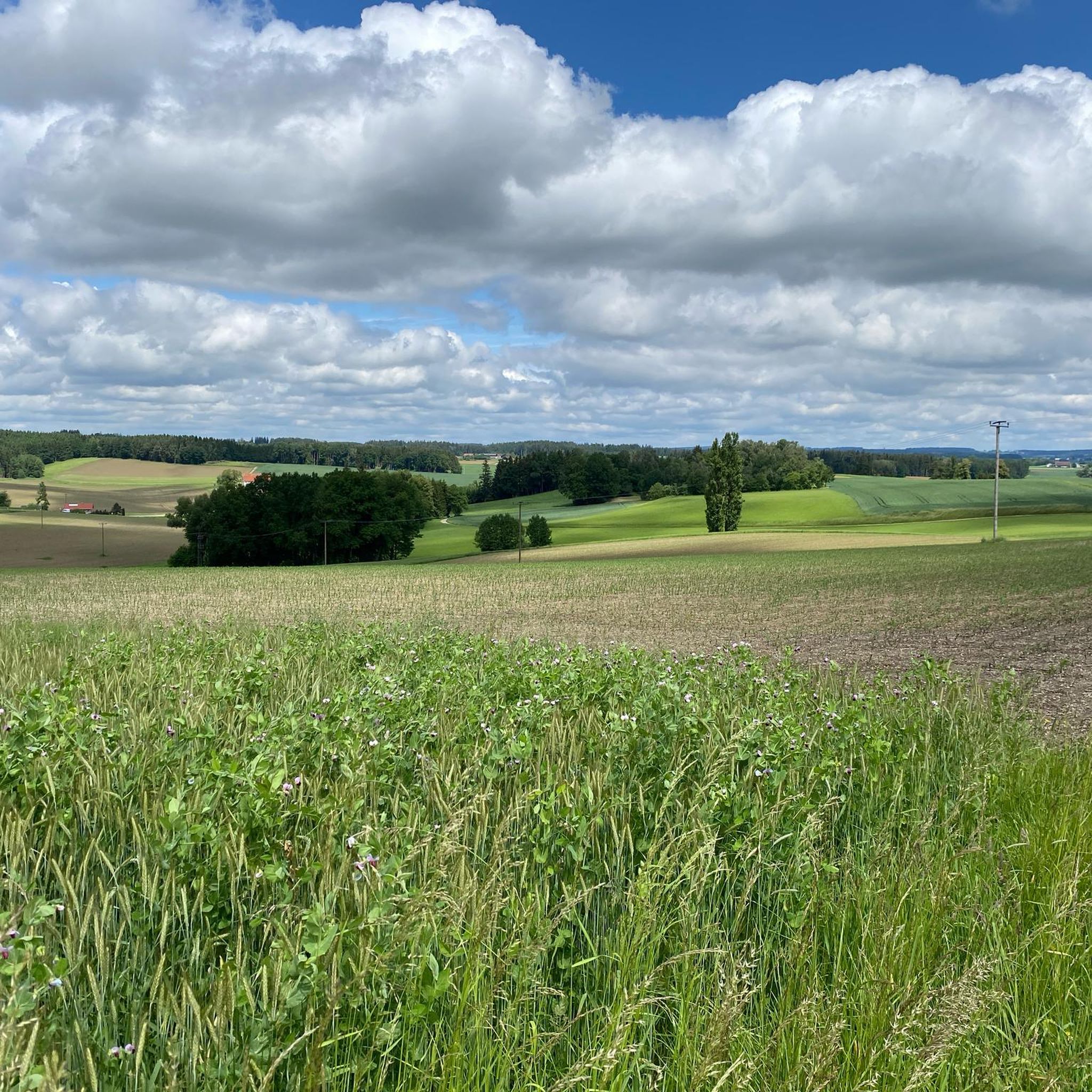
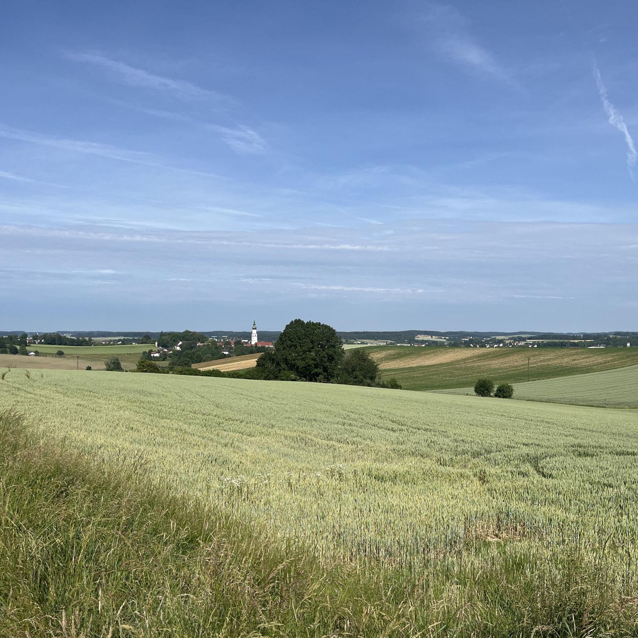
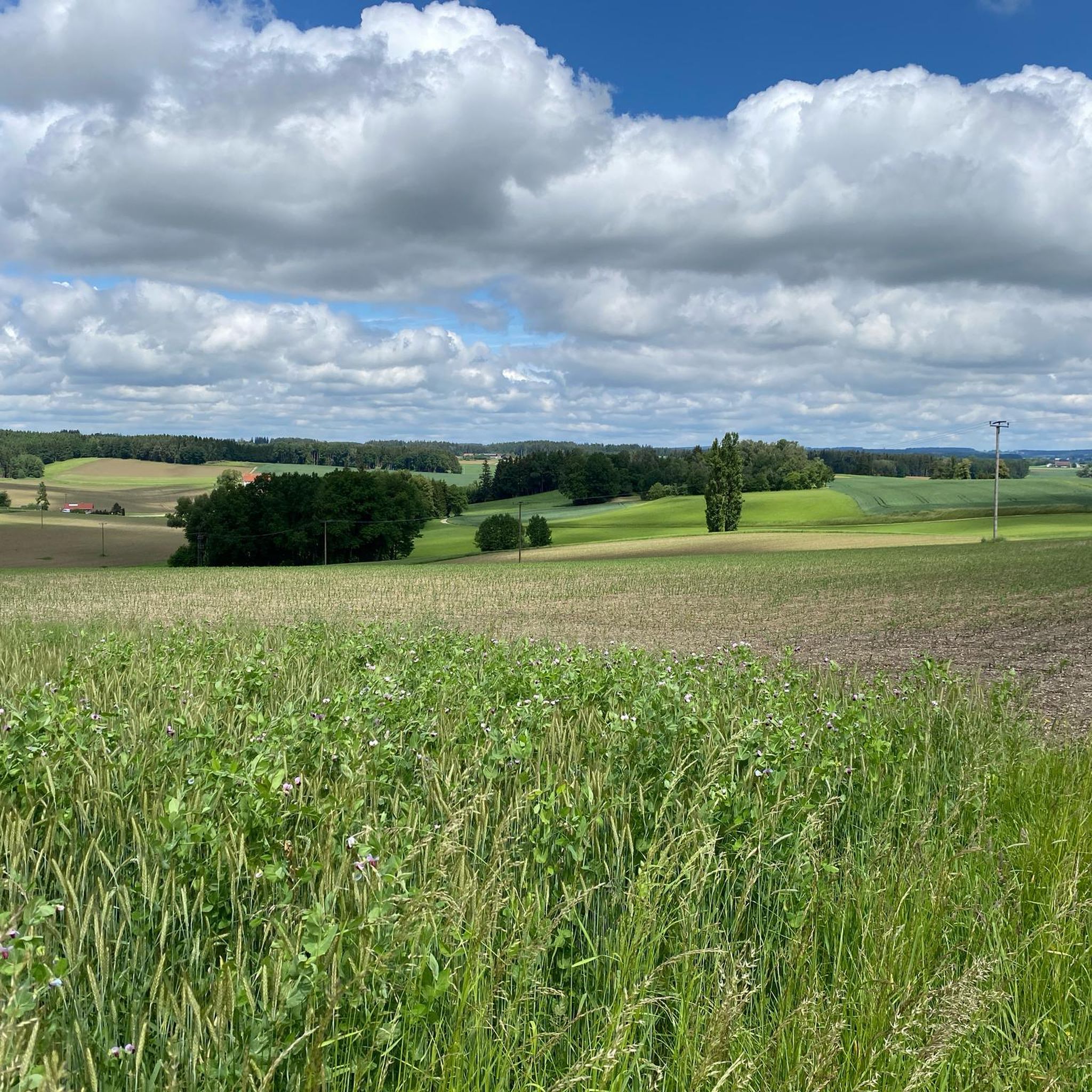
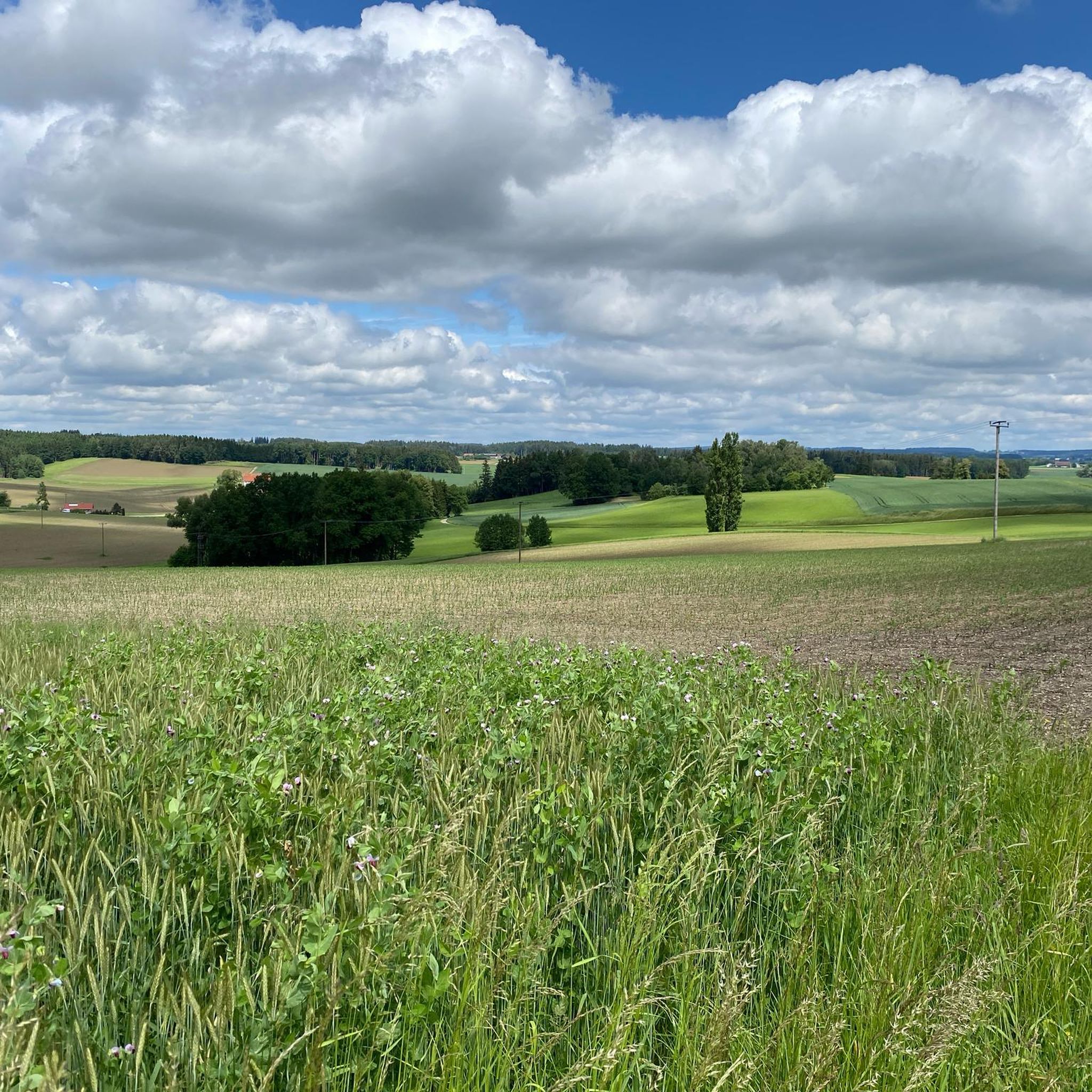
Gravel bike trails around Niedertaufkirchen navigate a diverse landscape characterized by rolling hills and the foothills of the Alps, offering varied terrain for cyclists. The region features green forests, idyllic lakes, and charming river valleys like the Rott valley. These natural elements provide a mix of unpaved and lightly paved paths, suitable for gravel biking. The area's existing network of paths, including sections of regional cycle routes, contributes to a varied gravel biking experience.
Best gravel bike trails around Niedertaufkirchen
…Last updated: May 21, 2026
5.0
(3)
29
riders
Moderate gravel ride. Good fitness required. Mostly paved surfaces. Suitable for all skill levels.
5.0
(10)
39
riders
39.5km
02:02
130m
130m
Moderate gravel ride. Good fitness required. Mostly paved surfaces. Suitable for all skill levels.

Sign up for free
4.0
(2)
20
riders
Moderate gravel ride. Good fitness required. Mostly paved surfaces. Suitable for all skill levels.
3.0
(1)
11
riders
Hard gravel ride. Very good fitness required. Mostly paved surfaces. Suitable for all skill levels.
4.5
(4)
9
riders
28.5km
01:33
170m
170m
Moderate gravel ride. Good fitness required. Mostly paved surfaces. Suitable for all skill levels.
Get access to more routes and recommendations from other explorers.
Sign up for free
Already have an account?
Our route recommendations are based on thousands of hikes, rides, and runs completed by other people on komoot.
Start today with a free account
Your next adventure awaits.
Login or Signup
Tips from the Community

The town square is almost 500 meters long and features colorful facades in the Inn-Salzach architectural style. It's definitely worth taking a break here.
3
0

The town hall was built in the 18th century by combining three originally separate residential plots. The western façade was redesigned as a unified structure after the merger. The core of the Gothic atrium dates from the 14th and 15th centuries, while the façade dates back to the 18th century. The building was inhabited by the noble Mautner family before being acquired by the town in 1439. The façade features the Burghausen town coat of arms, with the Bavarian heraldic symbols of diamonds and lions above it.
13
0

Beautiful in any season 🌿🌾 but especially in spring when in bloom
2
0

Mediocre road surface, but for sure easy enough for touring bikes and up ;)
1
0

Romantic little town with a beautiful town square to take a break!
0
0

Frequently Asked Questions
How many gravel bike trails are available around Niedertaufkirchen?
There are over 40 gravel bike trails around Niedertaufkirchen, offering a diverse range of experiences. These routes navigate through rolling hills, green forests, and charming river valleys, providing varied terrain for cyclists.
What kind of terrain can I expect on gravel bike routes near Niedertaufkirchen?
The terrain around Niedertaufkirchen is quite varied, featuring rolling hills and the foothills of the Alps. You'll encounter a mix of unpaved forest paths, trails alongside idyllic lakes like the Taufkirchener See, and routes through charming river valleys such as the Rott valley. This blend of surfaces makes it ideal for gravel biking.
Are there any family-friendly gravel bike routes in the Niedertaufkirchen area?
Yes, the region offers routes suitable for families. While specific dedicated family gravel routes are not highlighted, many regional cycle paths, like sections of the Rottal Cycle Path, often incorporate compacted gravel or dirt roads that are generally less challenging. These paths provide a mix of surfaces in scenic environments, suitable for a family outing.
What do other gravel bikers say about the trails in Niedertaufkirchen?
The komoot community rates the gravel trails around Niedertaufkirchen highly, with an average score of 4.5 stars from over 35 reviews. Cyclists often appreciate the diverse landscape of rolling hills, green forests, and river valleys, offering varied terrain for exploration. Over 170 gravel bikers have used komoot to explore the area's routes.
Are there any circular gravel bike routes around Niedertaufkirchen?
Yes, many of the gravel routes in the area are designed as loops. For example, the Northern Inn Floodplains – Perach Bathing Lake loop from Mühldorf (Oberbay) is a popular moderate 30-mile (48.3 km) trail that explores scenic floodplains and a bathing lake. Another option is the View of the Innspitze – Northern Inn Floodplains loop from Mühldorf (Oberbay), a 20.9-mile (33.7 km) route.
What are some notable landmarks or attractions I can see along gravel bike routes?
You can combine your gravel biking with visits to cultural sights and natural attractions. Along various routes, you might encounter the 18th-century St. George's Church or Taufkirchen Castle. Natural highlights include several lakes such as Mitterskirchen Natural Swimming Pool, Silbersee, and Isensee. The Isen Rapids are also a notable natural feature.
What is the best season for gravel biking in Niedertaufkirchen?
The region's diverse landscapes, including forests and river valleys, make it enjoyable for gravel biking across multiple seasons. Spring and autumn offer pleasant temperatures and vibrant scenery. While winter conditions can vary, some paths might be suitable depending on snow and ice, but it's always best to check local conditions before heading out.
Are there any challenging gravel bike routes for experienced riders?
Yes, the area offers routes for various ability levels, including difficult ones. For instance, the Burghausen Town Square – Northern Inn Floodplains loop from Mühldorf (Oberbay) is a challenging 63.5-mile (102.2 km) route with significant elevation gain, suitable for advanced gravel bikers looking for a longer, more demanding ride.
Where can I find parking facilities for gravel biking in Niedertaufkirchen?
While specific parking facilities for cyclists in Niedertaufkirchen are not explicitly detailed, as a rural Bavarian village, parking is generally available in the village center or near popular trailheads. It's advisable to look for designated parking areas or consult local signage upon arrival.
Can I bring my dog on the gravel bike trails around Niedertaufkirchen?
Many of the natural paths and forest trails in the Niedertaufkirchen region are suitable for cycling with dogs, provided they are well-behaved and kept on a leash where required. Always be mindful of local regulations, other trail users, and wildlife, especially when passing through protected areas or near farms.
Are there any cafes or pubs along the gravel bike routes for a break?
Niedertaufkirchen and its surrounding villages offer local establishments where cyclists can take a break. While specific bike-friendly cafes or pubs directly on every route are not listed, you'll find traditional Bavarian guesthouses and eateries in the towns and villages you pass through, perfect for a refreshment or meal.
What is the elevation gain like on the gravel bike trails?
The gravel bike trails around Niedertaufkirchen feature rolling hills, so you can expect varied elevation gains. For example, the Northern Inn Floodplains – Perach Bathing Lake loop from Mühldorf (Oberbay) has an elevation gain of approximately 251 meters, while the more challenging Burghausen Town Square – Northern Inn Floodplains loop from Mühldorf (Oberbay) features around 466 meters of ascent.
Are there any routes that follow river valleys?
Yes, the region is known for its charming river valleys, such as the Rott valley. Routes like the Northern Inn Floodplains – Isen Rapids loop from Mühldorf (Oberbay) offer views of the Inn floodplains and the Isen Rapids, combining riverine landscapes with varied surfaces suitable for gravel biking.
Most popular routes around Niedertaufkirchen
Most popular attractions around Niedertaufkirchen

Get inspired with the komoot mobile app


Explore more
Browse the best Gravel rides in other regions.
