The best road cycling routes around Niedertaufkirchen
4.6
(335)
4,975
riders
534
rides
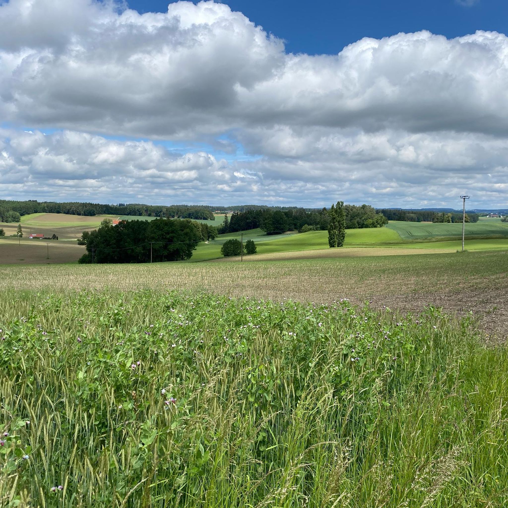
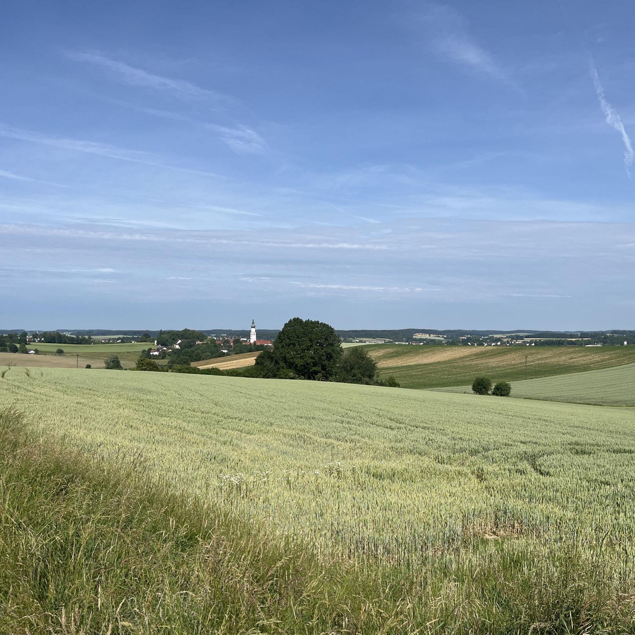
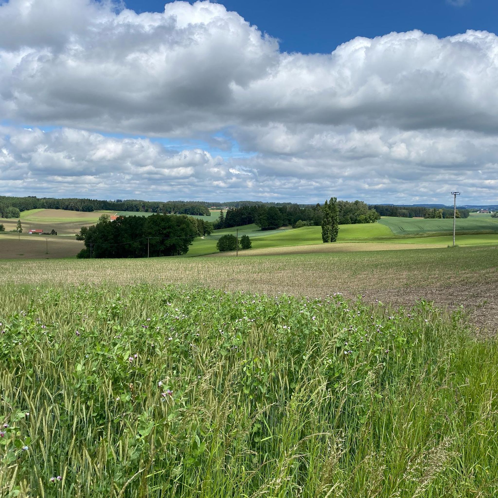
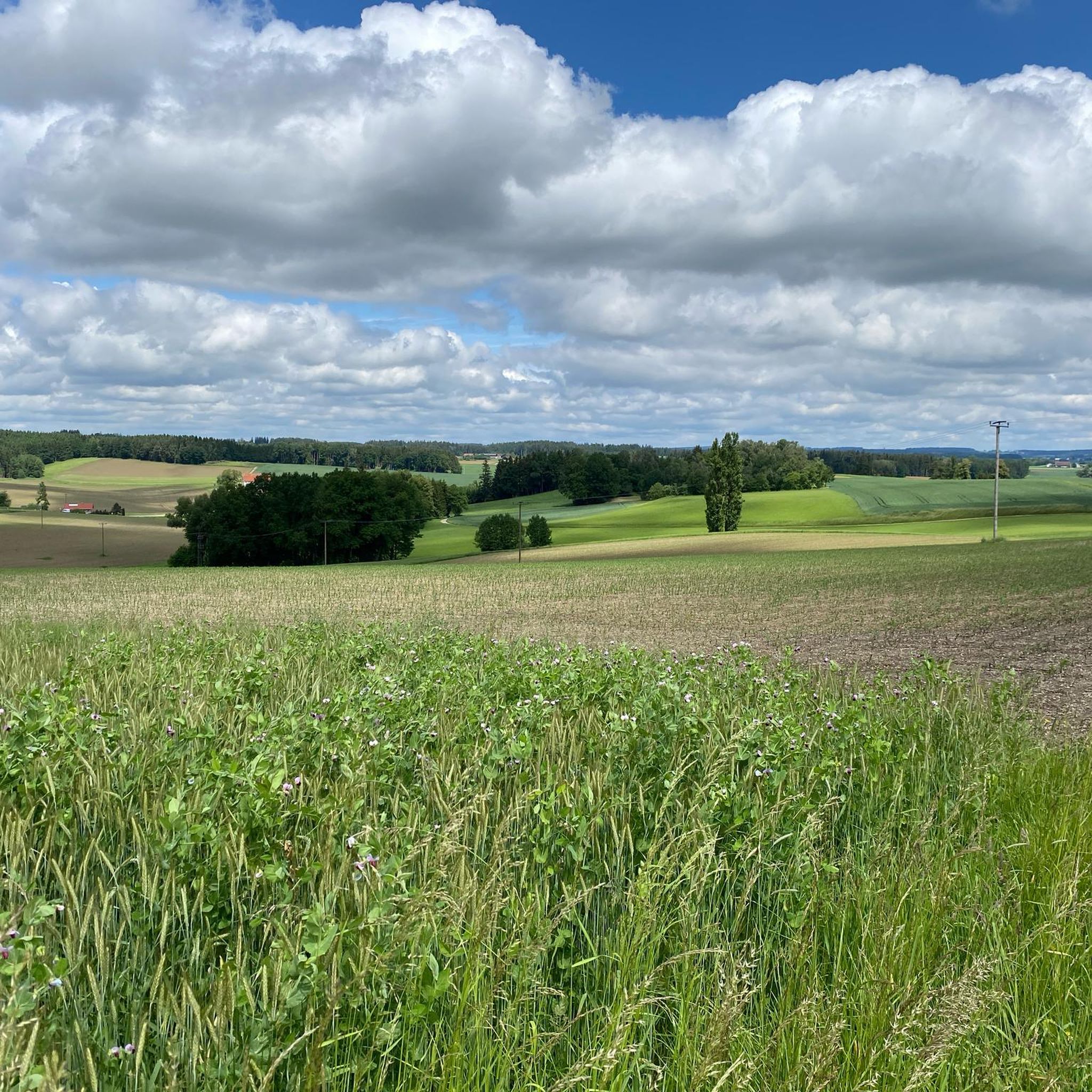
Road cycling routes around Niedertaufkirchen traverse the tertiary hill country of Southeast Upper Bavaria, Germany. The region is characterized by undulating terrain, featuring rolling hills, forests, and river valleys such as the Rott and the Isen. This landscape provides a mix of ascents and descents, catering to various fitness levels. The area offers diverse routes through rural cultural landscapes and past natural features.
Best road cycling routes around Niedertaufkirchen
- The most popular road cycling route is Unterwirt Gern – Pfarrkirchen…
Last updated: May 17, 2026
4.7
(6)
171
riders
60.8km
02:52
240m
240m
Moderate road ride. Good fitness required. Some segments of this route may be unpaved and difficult to ride.
4.3
(3)
100
riders
99.2km
04:11
350m
350m
Moderate road ride. Good fitness required. Some segments of this route may be unpaved and difficult to ride.

Sign up for free
3.8
(6)
83
riders
50.9km
02:06
270m
270m
Moderate road ride. Good fitness required. Mostly well-paved surfaces and easy to ride.
4.1
(8)
85
riders
30.2km
01:16
90m
90m
Easy road ride. Great for any fitness level. Mostly well-paved surfaces and easy to ride.
5.0
(8)
51
riders
50.4km
02:08
250m
250m
Moderate road ride. Good fitness required. Some segments of this route may be unpaved and difficult to ride.
Get access to more routes and recommendations from other explorers.
Sign up for free
Already have an account?
Our route recommendations are based on thousands of hikes, rides, and runs completed by other people on komoot.
Start today with a free account
Your next adventure awaits.
Login or Signup
Tips from the Community

Sleepy little town nothing going on
0
0

Nice town square with some restaurants
0
0

Great open place with a lot of possibilities for a break. From bakery to restaurant. Just no classic 'fast food'.
0
0

From the "Curiosities" series: The facade of the town pharmacy in Neumarkt-St. Veit features a curiosity that few buildings in Bavaria can boast. If you look slightly downward from the curved gable, you will discover a cannonball embedded in the middle of the wall. It is a relic of the battle that took place in Neumarkt on April 24, 1809. Source: https://www.sueddeutsche.de/bayern/neumarkt-st-veit-wo-napoleon-spuren-hinterlassen-hat-1.2574283
5
0

The church of St. Simon and Judas Thaddäus is the parish church of Pfarrkirchen.
1
1

The late Gothic parish church of St. Benedict was built in 1492.
0
0
Delicious ice cream parlor // nice restaurants
0
0

Gasthof zur Mühle - Good food and good service in a nice atmosphere
2
0
Frequently Asked Questions
How many road cycling routes are available around Niedertaufkirchen?
There are over 540 road cycling routes in the Niedertaufkirchen region, catering to various skill levels. This includes 115 easy routes, 410 moderate routes, and 16 more challenging options.
What kind of terrain can I expect when road cycling in Niedertaufkirchen?
The region is characterized by picturesque tertiary hill country in Southeast Upper Bavaria. You'll encounter undulating terrain with rolling hills, lush forests, and serene river valleys like the Rott and the Isen, offering a mix of ascents and scenic descents.
Are there easy or beginner-friendly road cycling routes in the area?
Yes, Niedertaufkirchen offers 115 easy road cycling routes suitable for beginners or those looking for a relaxed ride. An example is the Tüßling Castle – Tüssling Castle loop from Rohrbach (Oberbay), which is 42.3 km long with moderate elevation gain.
What are some longer road cycling routes for experienced riders?
For experienced riders seeking longer distances, the Unterwirt Gern – Pfarrkirchen Town Hall loop from Massing is a great option, covering 99.2 km with over 350 meters of elevation gain. This route winds through the region's characteristic rolling hills.
What can I see along the road cycling routes in Niedertaufkirchen?
Many routes offer scenic views of river valleys and rural landscapes. You can also discover natural features like the Isen Rapids or the Innspitze (Confluence of Inn and Innkanal). Historic sites such as Frauenbühl Castle are also accessible.
Are there any notable landmarks or attractions near the cycling paths?
Beyond the natural beauty, you can explore cultural landmarks. The region is home to the 18th-century St. George's Church and Taufkirchen Castle with its impressive baroque garden. The Mühldorf Town Square is also a point of interest.
What is the best time of year for road cycling in Niedertaufkirchen?
The best seasons for road cycling in Niedertaufkirchen are spring and summer. During these months, the natural surroundings are in full bloom, and temperatures are pleasantly mild, making for ideal riding conditions.
Are there circular road cycling routes available?
Yes, many of the routes in Niedertaufkirchen are designed as loops, allowing you to start and end at the same point. For instance, the Neumarkt-Sankt Veit – Rott Statue loop from Neumarkt St Veit is a popular 50.7 km circular path.
What do other road cyclists enjoy most about cycling in Niedertaufkirchen?
The area is highly rated by the komoot community, with an average score of 4.6 stars from over 300 reviews. Cyclists often praise the diverse terrain, from rolling hills to river valleys, and the tranquil rural cultural landscapes that define the region.
Can I find routes that pass through villages or offer opportunities for cafe stops?
Yes, many routes lead through picturesque villages and rural areas, providing opportunities for breaks. For example, the Schönberg Church – Gangkofen Market Square loop from Massing passes through charming locations where you can find local cafes.
Are there any routes that follow river valleys?
Absolutely. The region is situated between the river valleys of the Rott and the Isen. The **Rottal Cycle Path** is a notable route that winds along the river valley, offering diverse impressions of historic buildings, churches, and idyllic river meadows.
Most popular routes around Niedertaufkirchen
Most popular attractions around Niedertaufkirchen

Get inspired with the komoot mobile app


Explore more
Browse the best Road cycling routes in other regions.
