The best running trails around Römershager Forst-Ost
4.2
(252)
1,549
runners
102
runs
Jogging around Römershager Forst-Ost offers a variety of routes through forested landscapes and rolling hills. The region is characterized by its woodlands, providing shaded paths and natural terrain for runners. Elevation changes are common, adding a challenge to many of the running routes available. This area is suitable for those seeking a natural environment for their runs.
Best jogging routes around Römershager Forst-Ost
- The most popular jogging route is Basalt Lake Tintenfass – View of the Teufels Tintenfass loop from…
Last updated: August 26, 2026
4.9
(33)
207
runners
Moderate run. Good fitness required. Mostly paved surfaces. Suitable for all skill levels.
5.0
(1)
33
runners
Moderate run. Good fitness required. Mostly paved surfaces. Suitable for all skill levels.

Sign up for free
5.0
(1)
48
runners
6.52km
00:41
50m
50m
Moderate run. Good fitness required. Mostly paved surfaces. Suitable for all skill levels.
4.5
(2)
40
runners
Moderate run. Good fitness required. Mostly paved surfaces. Suitable for all skill levels.
3.3
(3)
8
runners
8.79km
01:07
320m
320m
Hard run. Very good fitness required. Mostly paved surfaces. Suitable for all skill levels.
Get access to more routes and recommendations from other explorers.
Sign up for free
Already have an account?
Our route recommendations are based on thousands of hikes, rides, and runs completed by other people on komoot.
Start today with a free account
Your next adventure awaits.
Login or Signup
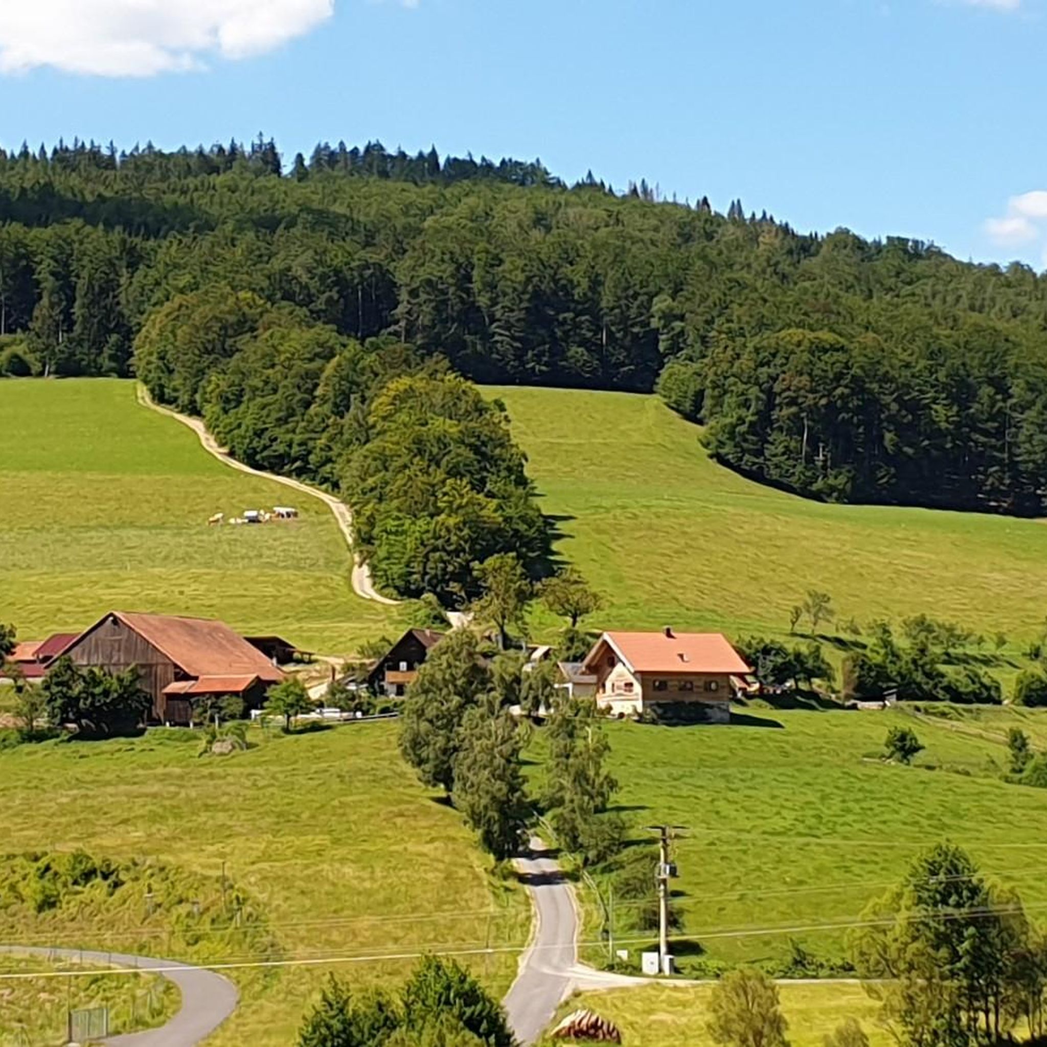

Tips from the Community

The approximately 70 km long Sinn is the largest tributary of the Fränkische Saale in the German states of Bavaria and Hesse. It rises in the Rhön and flows predominantly southwards. Its confluence with the Fränkische Saale is shortly before its confluence with the Main. Source: Wikipedia
1
0
The Sinn, approximately 70 km long, is the largest tributary of the Fränkische Saale in the German states of Bavaria and Hesse. It originates in the Rhön and flows predominantly southwards. Its confluence with the Fränkische Saale is shortly before its confluence with the Main. Source: Wikipedia
1
0
The approximately 70 km long Sinn is the largest tributary of the Fränkische Saale in the German states of Bavaria and Hesse. It originates in the Rhön and flows predominantly south. Its confluence with the Fränkische Saale is shortly before its confluence with the Main. Source: Wikipedia
1
0

Very nice small café with homemade cakes.
1
0

The Kursaal building, dating from 1830, is one of the most important buildings in the state spa of Brückenau.
6
0
This pergola has grown beautifully.
6
0

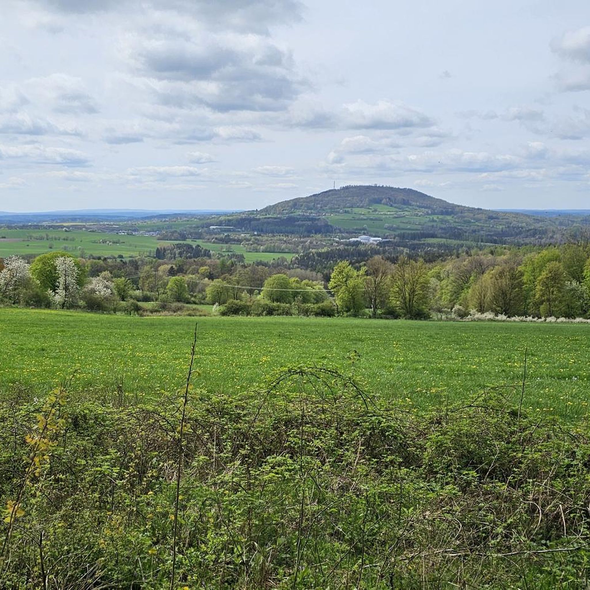
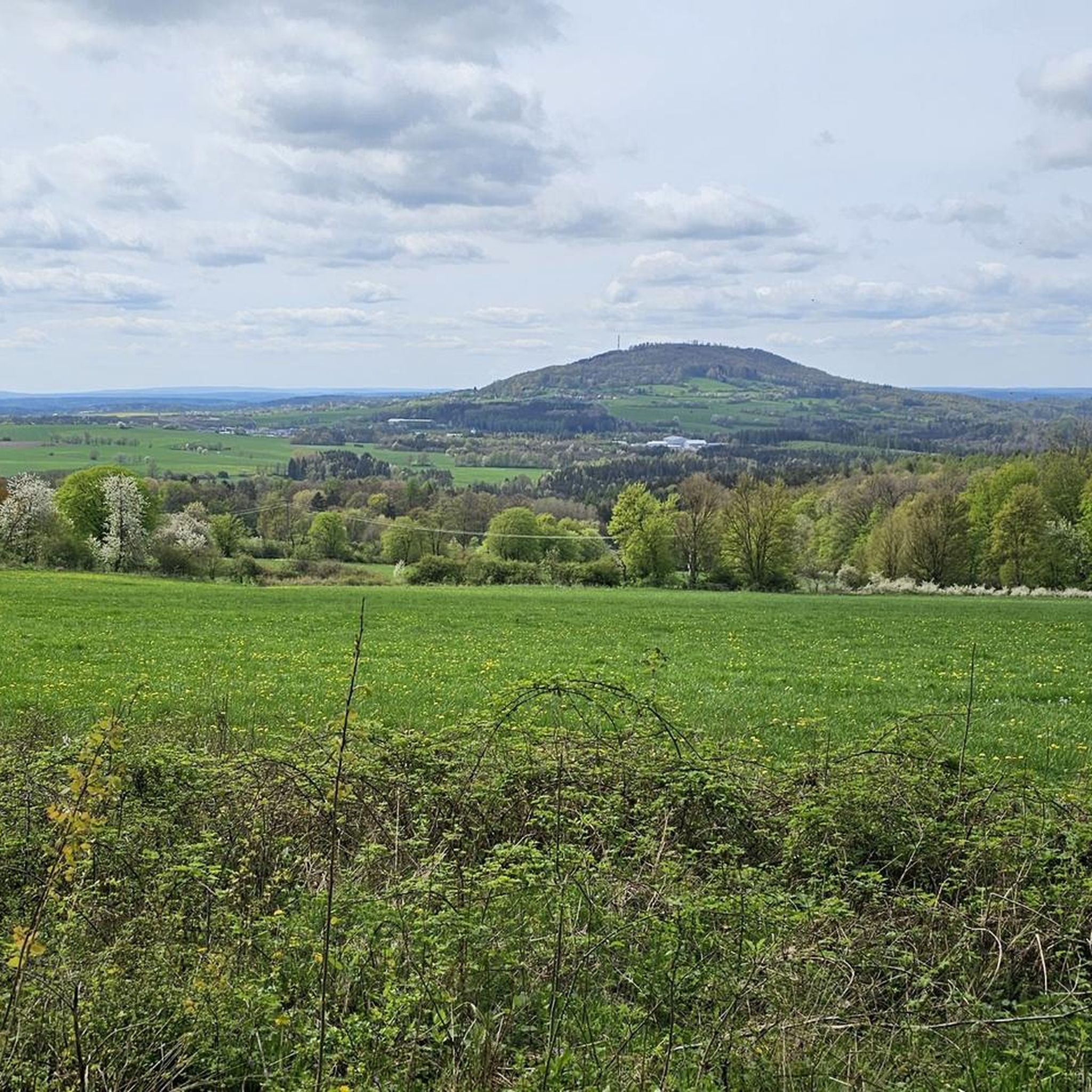
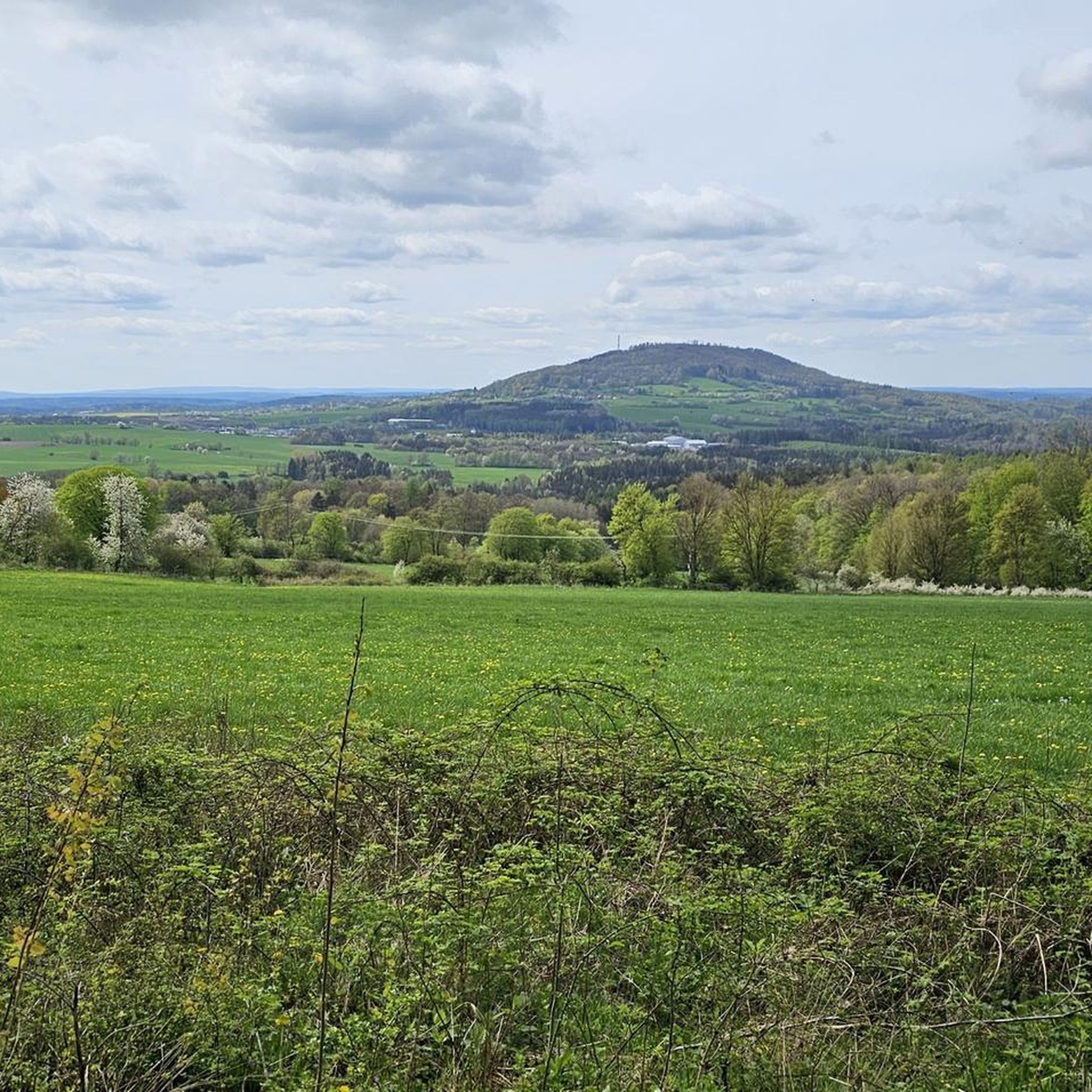
The transmission tower from Kreuzberg can be seen in good visibility (from the top right) 😊
0
0

Frequently Asked Questions
How many running routes are available in Römershager Forst-Ost?
There are over 80 running routes in Römershager Forst-Ost, offering a wide range of options for different fitness levels and preferences.
Are there easy jogging routes for beginners in Römershager Forst-Ost?
Yes, Römershager Forst-Ost features 13 easy jogging routes, perfect for beginners or those looking for a less strenuous run. These paths typically have gentler inclines and well-maintained surfaces.
What kind of terrain can I expect on the running trails in Römershager Forst-Ost?
The running trails in Römershager Forst-Ost are characterized by dense woodlands, rolling hills, and varied forest paths. You'll encounter natural terrain and elevation changes, providing a diverse and engaging running experience.
Are there any circular jogging routes in the region?
Yes, many of the running routes in Römershager Forst-Ost are circular. For example, the Völkerplatz Shelter loop from Bad Brückenau is a moderate 7.3 km trail that offers a scenic round trip.
What are some interesting natural sights or landmarks I can see while running?
Along the running routes, you can discover several natural attractions. The Basalt Lake Tintenfass is a notable highlight, and you might also encounter the Platzer Kuppe summit or the Pilsterstein.
Are the running routes in Römershager Forst-Ost suitable for families?
While specific family-friendly routes aren't explicitly marked, the 13 easy routes are generally suitable for families with children who are comfortable with light activity. Look for routes with minimal elevation gain for a more relaxed experience.
Can I bring my dog on the jogging trails?
Most forest trails in Römershager Forst-Ost are generally dog-friendly, but it's always recommended to keep your dog on a leash, especially in areas with wildlife or near other visitors. Always check local regulations for specific areas.
What do other runners say about the trails in Römershager Forst-Ost?
The running routes in Römershager Forst-Ost are highly rated by the komoot community, with an average score of 4.4 stars from over 180 reviews. Runners often praise the varied terrain, the peaceful forest environment, and the well-marked paths.
Are there any longer running trails for more experienced runners?
Yes, for experienced runners seeking a challenge, there are several longer and more difficult routes. The Running loop from Römershager Forst-Ost is a moderate 10.2 km trail, offering a good distance and varied terrain.
What is the best time of year to go jogging in Römershager Forst-Ost?
The forested landscapes of Römershager Forst-Ost offer pleasant running conditions throughout much of the year. Spring and autumn provide mild temperatures and beautiful scenery, while summer runs benefit from the shade of the woodlands. Winter can be picturesque, but trails may be slippery or covered in snow.
Are there any routes that pass by lakes or water features?
Yes, some routes incorporate water features. The Basalt Lake Tintenfass – View of the Teufels Tintenfass loop from Riedenberg is a difficult 8.7 km trail that takes you past the scenic Basalt Lake Tintenfass.
How long do the running routes typically take to complete?
The duration of running routes varies significantly based on distance and difficulty. For instance, a moderate 7.5 km route like the Running loop from Riedenberg typically takes around 1 hour to complete, while longer trails can take over 1.5 hours.
Most popular attractions around Römershager Forst-Ost

Get inspired with the komoot mobile app


Explore more
Browse the best Running Trails & Routes in other regions.
