The best gravel rides around Römershager Forst-Ost
4.9
(12)
68
riders
14
rides
Gravel biking around Römershager Forst-Ost offers routes through forested areas, river valleys, and past historical sites. The region is characterized by rolling hills, with some routes featuring significant elevation changes. Trails often follow former railway lines or wind through natural landscapes, providing varied terrain for gravel cyclists. The area is part of the Bavarian Rhön Nature Park, offering diverse landscapes suitable for exploration.
Best gravel bike trails around Römershager Forst-Ost
- The most popular gravel bike trail is View from the…
Last updated: August 26, 2026
5.0
(2)
10
riders
34.7km
02:26
740m
750m
Hard gravel ride. Very good fitness required. Mostly paved surfaces. Suitable for all skill levels.
4.5
(2)
14
riders
Hard gravel ride. Very good fitness required. You may need to push your bike for some segments of this route.

Sign up for free
6
riders
Hard gravel ride. Very good fitness required. Mostly paved surfaces. Suitable for all skill levels.
5.0
(1)
7
riders
Hard gravel ride. Very good fitness required. You may need to push your bike for some segments of this route.
5.0
(2)
5
riders
50.9km
03:28
1,000m
1,000m
Hard gravel ride. Very good fitness required. You may need to push your bike for some segments of this route.
Get access to more routes and recommendations from other explorers.
Sign up for free
Already have an account?
Our route recommendations are based on thousands of hikes, rides, and runs completed by other people on komoot.
Start today with a free account
Your next adventure awaits.
Login or Signup
Tips from the Community

It is an interesting section of the path. I suspect that people have immortalized themselves here who ensured that we can wander through the forest with pleasant thoughts. My thanks go out to them.
0
0

You have to climb up there, meter by meter, but it's worth it.
0
0

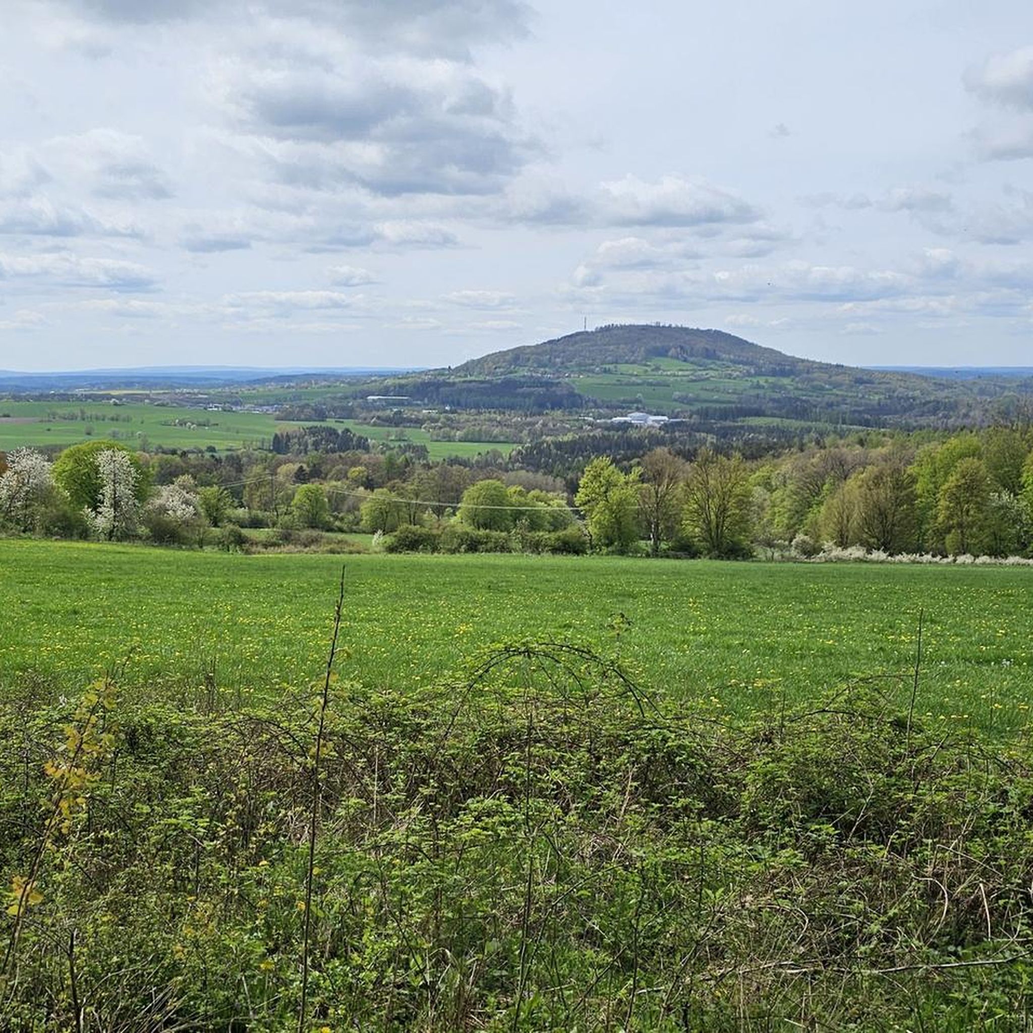
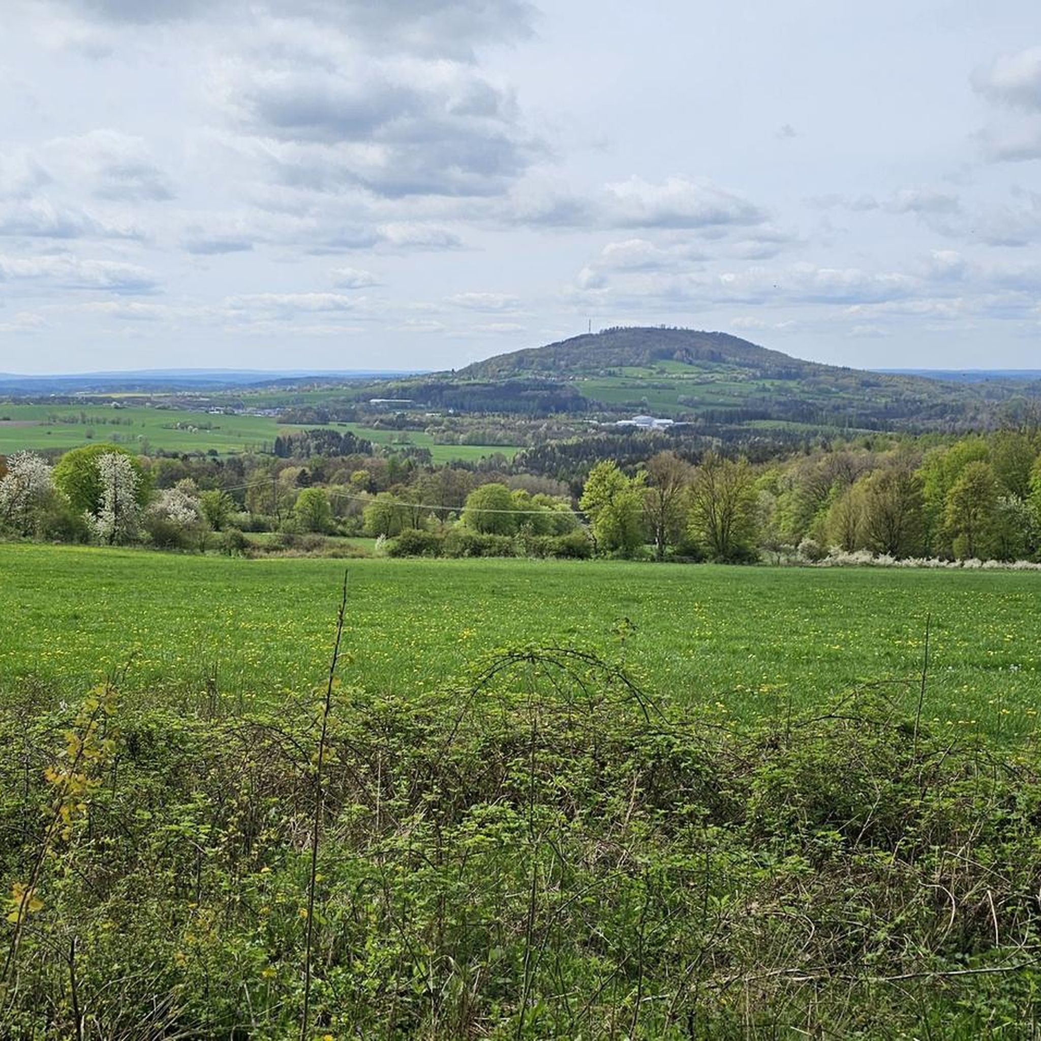
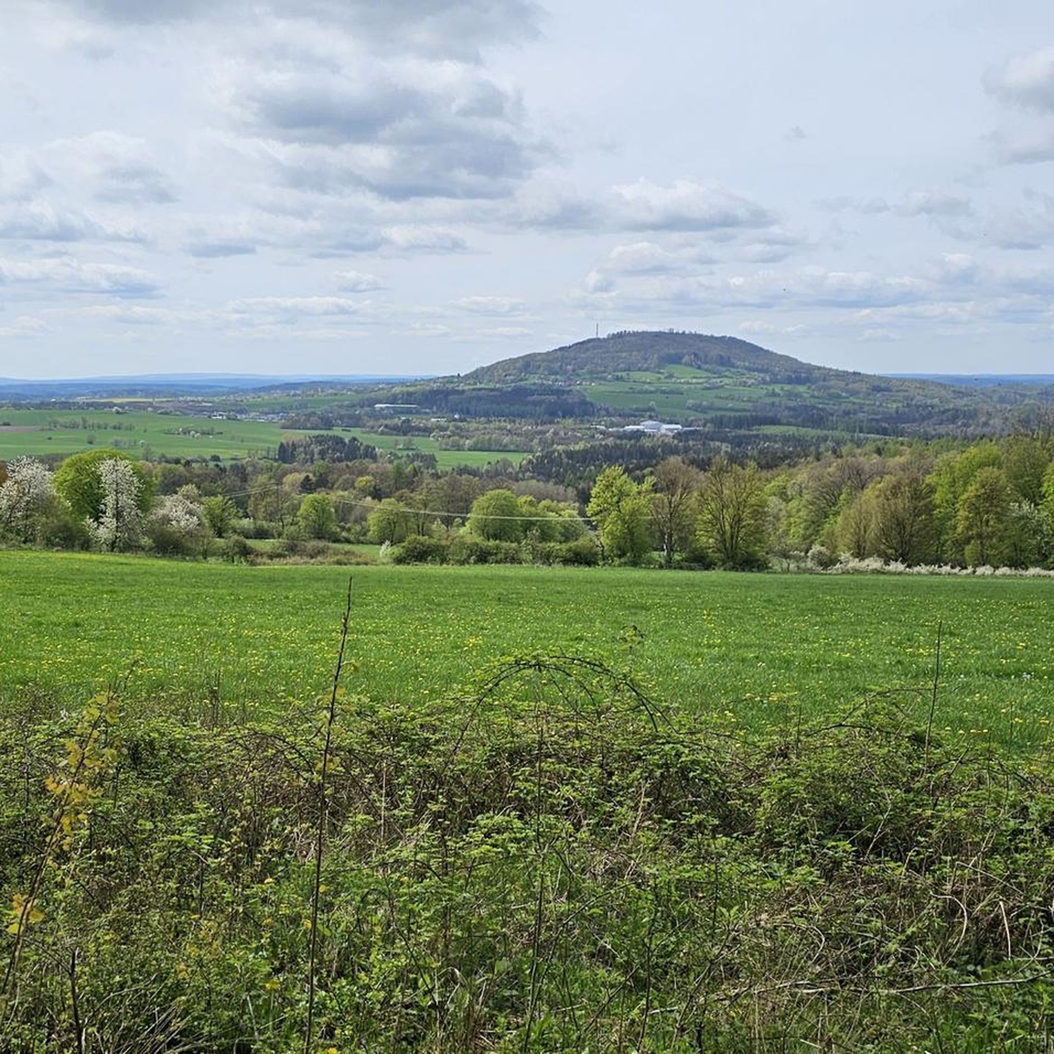
The Arnsberg is located northwest of the Kreuzberg in the Bavarian Rhön. It is a striking and widely visible mountain, 842 m high, which belongs to the natural region of the Hohe Rhön.
1
0

You can ride nicely along the water
0
0

Steep mountain with up to 20% in the forest (shady). Particularly steep in the lower and upper sections, somewhat unrhythmic
0
0

Either you use the bridge, or for the brave among you, ride through the water. Beautiful here and fun
0
0

The Kursaal building, dating from 1830, is one of the most important buildings in the state spa of Brückenau.
6
0

The Rose Garden is a park in the spa town of Bad Kissingen, known for its approximately 160 rose varieties. The multimedia fountain is a special highlight of the complex. Musical water choreographies take place there daily, and after dark, projector shows are projected onto a screen made of water droplets.
1
0
Frequently Asked Questions
How many gravel bike trails are available in Römershager Forst-Ost?
There are over 25 gravel bike routes in the Römershager Forst-Ost region, offering a diverse range of experiences through forested areas, river valleys, and past historical sites. These routes cater to various skill levels, with a focus on moderate to difficult terrain.
Are there any easy gravel bike trails for beginners in Römershager Forst-Ost?
While Römershager Forst-Ost is known for its more challenging routes, with 18 difficult and 7 moderate trails, there are no routes specifically categorized as easy. Beginners might find the moderate trails, such as the View of Schwarzenfels Castle – Sinn Bridge Altengronau loop from Staatsbad Brückenau, more manageable, but should be prepared for some elevation changes.
What kind of terrain can I expect on gravel bike routes in Römershager Forst-Ost?
The region is characterized by rolling hills, dense woodlands, and river valleys. Many routes follow former railway lines, providing varied surfaces. You'll encounter a mix of gravel paths, forest roads, and some sections with significant elevation changes, especially on the more difficult trails.
Are there any circular gravel bike routes in the area?
Yes, many of the gravel bike routes in Römershager Forst-Ost are designed as loops. For example, the popular View from the summit of Kreuzberg – Gemündener Hut loop from Riedenberg offers a circular tour with scenic views, and the Rhönexpress Rail Cycle Path – Rhönexpress Rail Trail loop from Volkers also provides a circular experience through varied landscapes.
What are some scenic viewpoints or natural attractions along the gravel bike trails?
The region offers several natural highlights. You can find scenic views from the summit of Kreuzberg on some routes. Other notable natural attractions include the unique Basalt Lake Tintenfass and the tranquil Heegkopfsee. Keep an eye out for beaver habitats like the Beaver Habitat Steiersbach Ziegelhütte.
Are there any historical sites or landmarks to explore while gravel biking?
Yes, the region has historical connections, with some routes following former railway lines like the Rhönexpress Rail Cycle Path. You can also find attractions such as the Bad Brückenau Spa Park, which offers a glimpse into local history and culture. The View of Schwarzenfels Castle – Sinn Bridge Altengronau loop from Staatsbad Brückenau passes by Schwarzenfels Castle, providing a historical point of interest.
What is the best time of year for gravel biking in Römershager Forst-Ost?
The region's forested areas and river valleys are enjoyable throughout the warmer months, typically from spring through autumn. Spring brings lush greenery, while autumn offers vibrant fall foliage. Summer is also popular, but be prepared for potential heat on longer rides. Always check local weather conditions before heading out.
What do other gravel bikers enjoy most about the routes in Römershager Forst-Ost?
The gravel biking routes in Römershager Forst-Ost are highly rated by the komoot community, with an average score of 4.9 stars from over 30 reviews. Riders often praise the varied terrain, the beauty of the dense woodlands, and the scenic river valleys. The well-maintained paths and the sense of adventure on the more challenging routes are frequently highlighted.
Are there any long-distance gravel bike routes for experienced riders?
Experienced riders looking for longer distances will find several challenging options. The View of the Schmale Sinn – Sinn River loop from Oberzell is a difficult 77.4 km path that follows the Sinn River, providing an extensive riverside experience. Many of the 18 difficult routes offer significant mileage and elevation for a full day's adventure.
Where can I find places to rest or get refreshments along the trails?
While specific cafes directly on every trail might be limited, the region does have huts and lodges that can offer a break. For instance, the Würzburger Karl-Straub-Haus and the Rhön Mountain Lodge are available in the broader area. It's always advisable to carry sufficient water and snacks, especially on longer routes, as services may not be frequent.
What are the elevation changes like on gravel bike trails in Römershager Forst-Ost?
The region features rolling hills, meaning you can expect significant elevation changes on many routes. For example, the View from the summit of Kreuzberg – Gemündener Hut loop from Riedenberg involves over 740 meters of ascent. Even moderate trails will include climbs, so be prepared for a good workout.
Most popular attractions around Römershager Forst-Ost

Get inspired with the komoot mobile app


Explore more
Browse the best Gravel rides in other regions.
