The best running trails around Kahl am Main
4.6
(64)
787
runners
56
runs
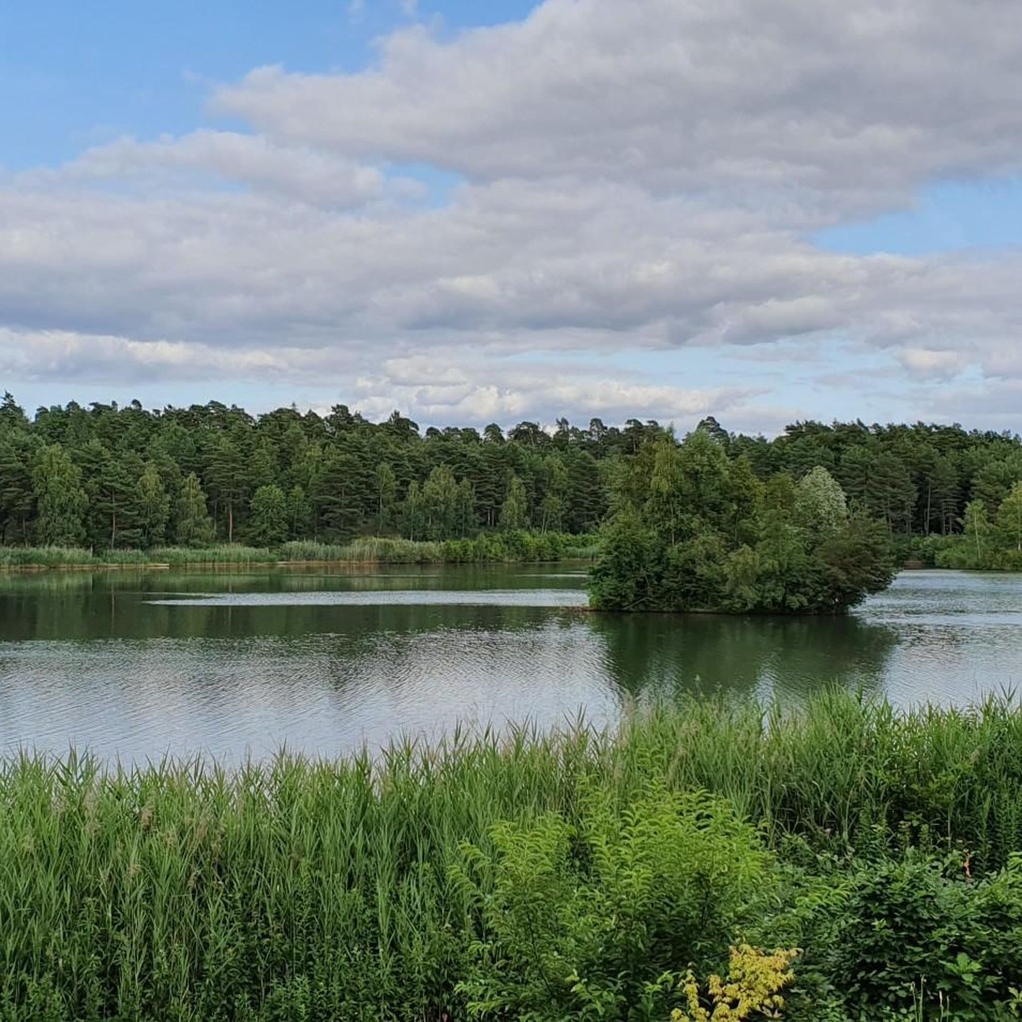
Jogging around Kahl am Main offers a network of routes primarily characterized by flat terrain, following the Kahl River and passing by several lakes such as Meerhofsee and Neufeldsee. The region's low elevation, including the lowest point in Bavaria, provides gentle gradients suitable for various running abilities. These trails often traverse open landscapes and riverside paths, making them accessible for regular exercise.
Best jogging routes around Kahl am Main
- The most popular jogging route is Lowest point in Bavaria loop…
Last updated: July 1, 2026
5.0
(5)
83
runners
11.0km
01:13
20m
20m
Moderate run. Good fitness required. Mostly paved surfaces. Suitable for all skill levels.
5.0
(2)
69
runners
12.0km
01:14
30m
30m
Moderate run. Good fitness required. Mostly paved surfaces. Suitable for all skill levels.

Sign up for free
4.0
(1)
55
runners
Moderate run. Good fitness required. Mostly paved surfaces. Suitable for all skill levels.
3.0
(1)
51
runners
13.9km
01:27
30m
30m
Moderate run. Good fitness required. Mostly paved surfaces. Suitable for all skill levels.
5.0
(2)
44
runners
8.43km
00:53
20m
20m
Moderate run. Good fitness required. Mostly paved surfaces. Suitable for all skill levels.
Get access to more routes and recommendations from other explorers.
Sign up for free
Already have an account?
Our route recommendations are based on thousands of hikes, rides, and runs completed by other people on komoot.
Start today with a free account
Your next adventure awaits.
Login or Signup




Tips from the Community

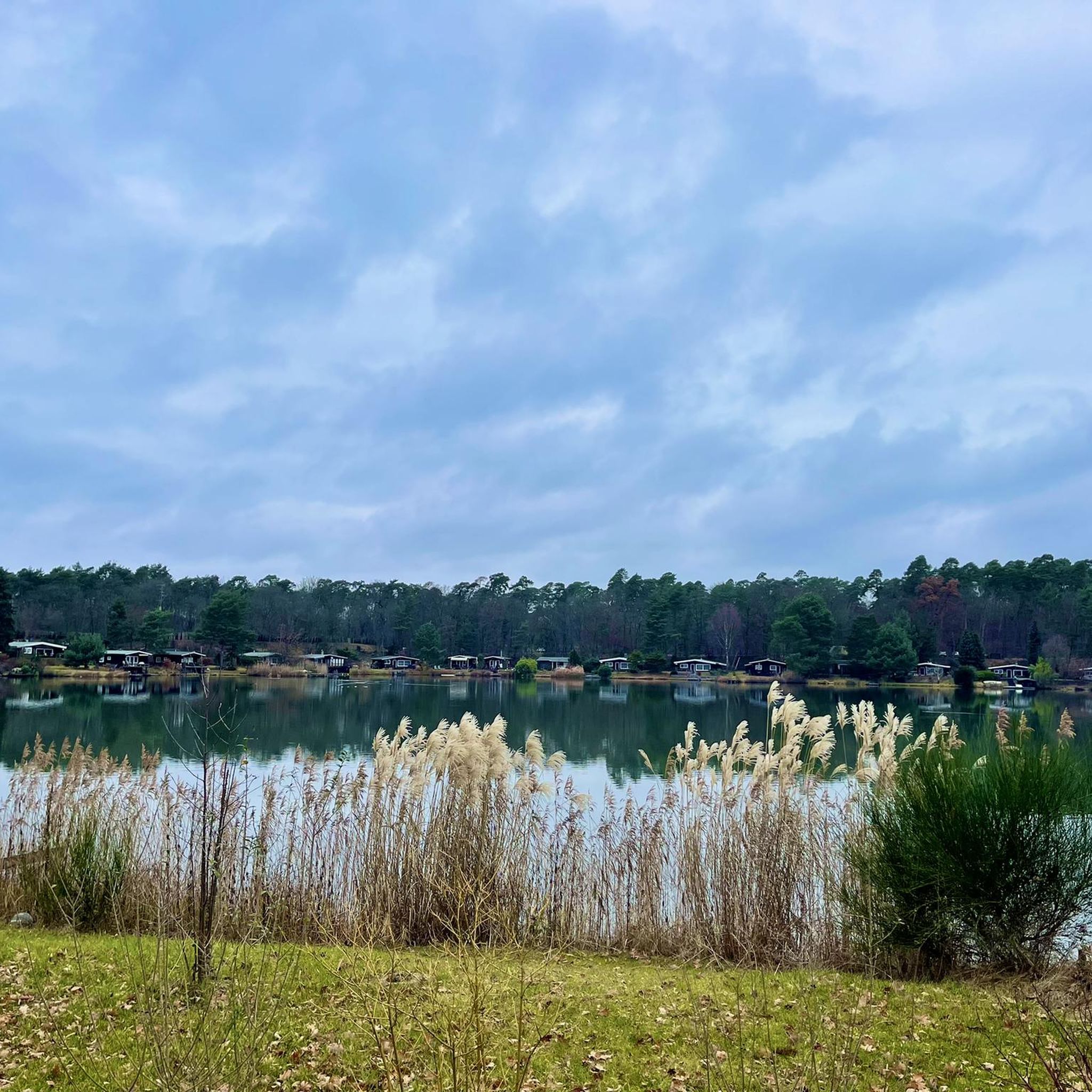
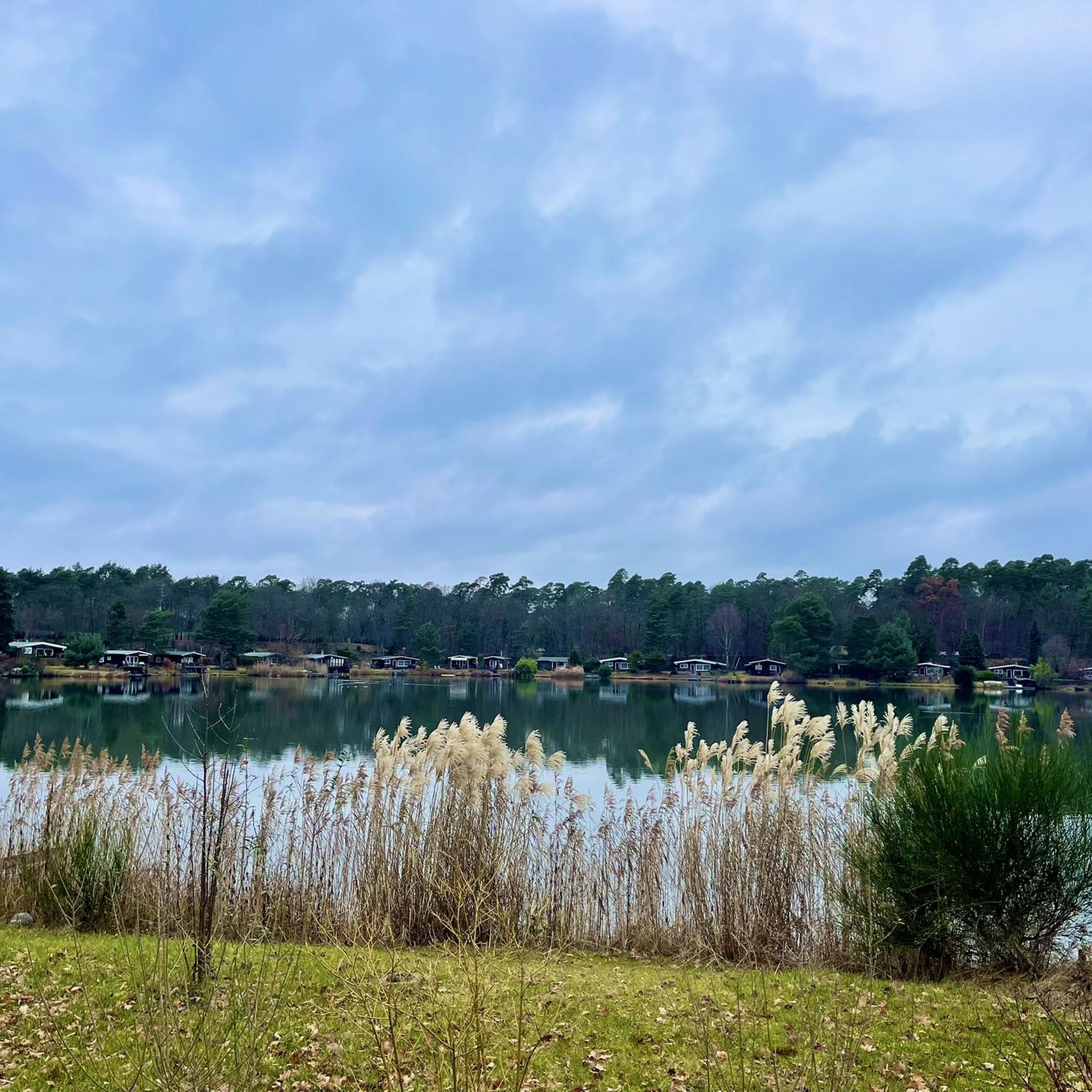
It is a beautiful lake. However, swimming is forbidden here.
1
0

These and other benches line the banks of the Main River.
0
0

Very nicely done
3
0
A beautiful church
1
1
It's a beautiful stretch of road. It's fun to cycle here.
1
0
Here you can sit on the bench and let your gaze wander.
2
0
Frequently Asked Questions
How many running routes are available around Kahl am Main?
There are over 50 dedicated running routes around Kahl am Main, catering to various fitness levels. This includes 8 easy routes, 38 moderate routes, and 12 more challenging options.
Are there any easy running trails suitable for beginners in Kahl am Main?
Yes, Kahl am Main offers 8 easy running routes, perfect for beginners or those looking for a relaxed jog. The region's generally flat terrain, especially along the Kahl River and around the lakes, makes it very accessible for all abilities.
Can I find family-friendly jogging routes in Kahl am Main?
Absolutely. The flat and scenic paths along the Kahl River and around lakes like Meerhofsee and Neufeldsee are ideal for families. These routes often provide open spaces and gentle gradients, making them suitable for a pleasant outing with children.
Are dogs allowed on the running trails in Kahl am Main?
Many of the open landscapes and riverside paths around Kahl am Main are suitable for running with dogs. It's always recommended to keep your dog on a leash and be mindful of local regulations, especially near nature reserves or populated areas.
What kind of views can I expect on the running trails around Kahl am Main?
Runners can enjoy scenic views primarily along the Kahl River and around the various lakes, such as Meerhofsee and Neufeldsee. The routes often traverse open landscapes, offering tranquil natural scenery. For a broader perspective, you might find views from nearby elevated points like the Ludwig Tower (Hahnenkamm), though this is typically a short detour from the main running paths.
Are there any circular running routes in Kahl am Main?
Yes, many of the running routes in Kahl am Main are designed as loops, offering convenient starting and ending points. For example, the Neufeldsee – Kahl River loop from Kahl (Main) is a popular circular option, covering about 8.6 miles (13.9 km).
What are some longer distance running options in the area?
For those seeking longer runs, routes like the Neufeldsee – Kahl River loop from Kahl (Main) at 8.6 miles (13.9 km) or the Westernmost Point of Bavaria loop from Kahl (Main) at 8.1 miles (13.0 km) provide excellent opportunities to cover more ground.
Are there any places to eat or drink near the running trails?
While running, you might find opportunities for refreshments. For instance, the Hahnenkamm Mountain Inn is a notable restaurant in the wider area, though it might require a slight detour from the immediate riverside paths. Many routes pass through or near Kahl am Main itself, where various dining options are available.
What interesting landmarks or attractions can I see while running in Kahl am Main?
While the running routes primarily focus on natural landscapes, you can encounter unique geographical points like the Lowest Point in Bavaria. The wider region also features historical sites such as Alzenau Castle and the Steinheim Customs Tower, which could be explored as part of a longer run or separate visit.
How do other runners rate the trails in Kahl am Main?
The running routes in Kahl am Main are highly regarded by the komoot community, holding an average rating of 4.7 stars from over 50 reviews. Runners frequently praise the well-maintained paths, the tranquil riverside scenery, and the accessibility of the flat terrain.
Is public transport available to access the running routes in Kahl am Main?
Kahl am Main is a well-connected town, and many running routes are easily accessible from the town center, which is served by public transport. This allows runners to reach trailheads conveniently without needing a car.
Are there any challenging running trails for experienced runners?
Yes, Kahl am Main offers 12 routes classified as difficult, providing a greater challenge for experienced runners. While the overall elevation gain in the region is low, these routes might involve longer distances or more varied terrain to test endurance.
Most popular routes around Kahl am Main
Most popular attractions around Kahl am Main

Get inspired with the komoot mobile app


Explore more
Browse the best Running Trails & Routes in other regions.
