The best walks and hikes around Kahl am Main
4.4
(447)
1,878
hikers
92
hikes
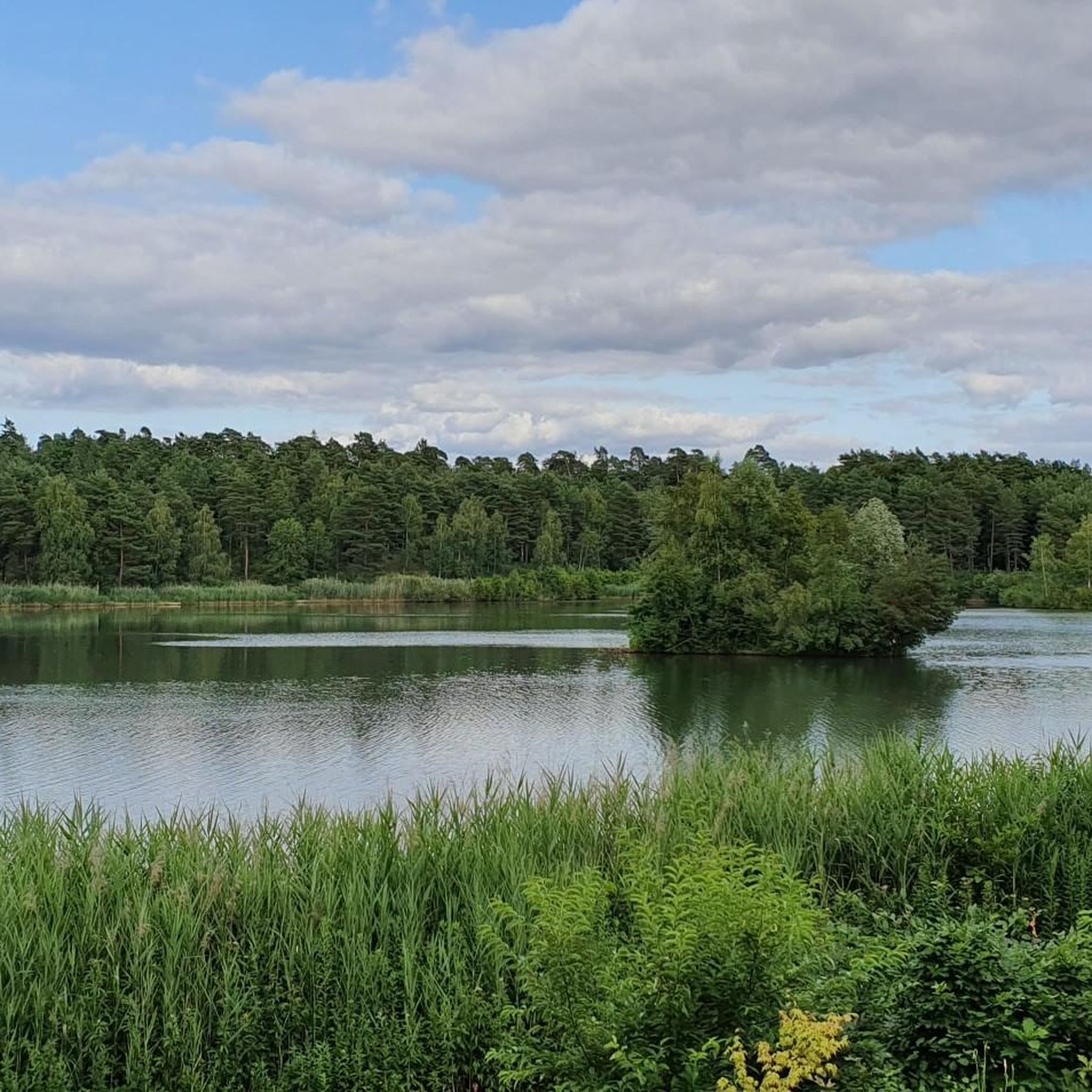
Hiking around Kahl am Main offers diverse landscapes situated between the Spessart and Odenwald forests, along the Main river. The region is characterized by its unique Kahler Seenplatte (Kahl Lake District) with numerous quarry lakes and moorland, as well as dense forests and varied hilly terrain. The Main river and its banks provide flat paths, while the surrounding areas feature gentle elevations suitable for various hiking levels.
Best hiking trails around Kahl am Main
- The most popular hiking route is…
Last updated: August 25, 2026
4.5
(111)
383
hikers
Easy hike. Great for any fitness level. Easily-accessible paths. Suitable for all skill levels.
4.6
(132)
403
hikers
Moderate hike. Good fitness required. Easily-accessible paths. Suitable for all skill levels.

Sign up for free
4.3
(13)
68
hikers
Easy hike. Great for any fitness level. Easily-accessible paths. Suitable for all skill levels.
3.9
(15)
28
hikers
Moderate hike. Good fitness required. Easily-accessible paths. Suitable for all skill levels.
3.3
(7)
44
hikers
Easy hike. Great for any fitness level. Easily-accessible paths. Suitable for all skill levels.
Get access to more routes and recommendations from other explorers.
Sign up for free
Already have an account?
Our route recommendations are based on thousands of hikes, rides, and runs completed by other people on komoot.
Start today with a free account
Your next adventure awaits.
Login or Signup




Tips from the Community

Here you can also take shelter in case of rain.
3
0

great location by the lake
1
0
It is a well-marked circular route.
1
0

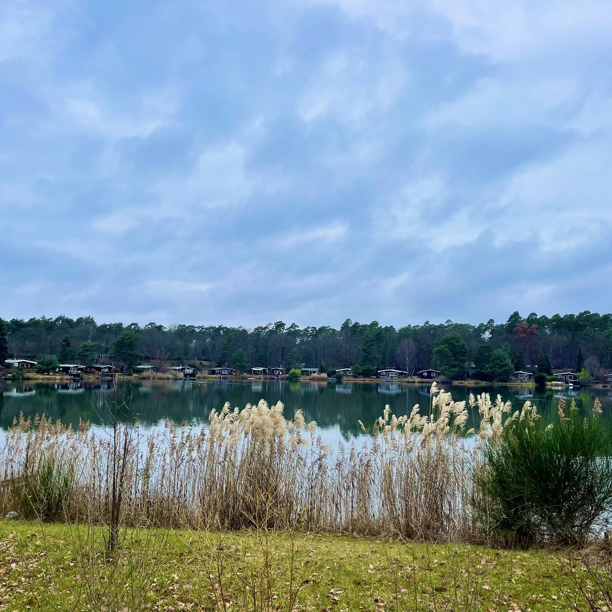
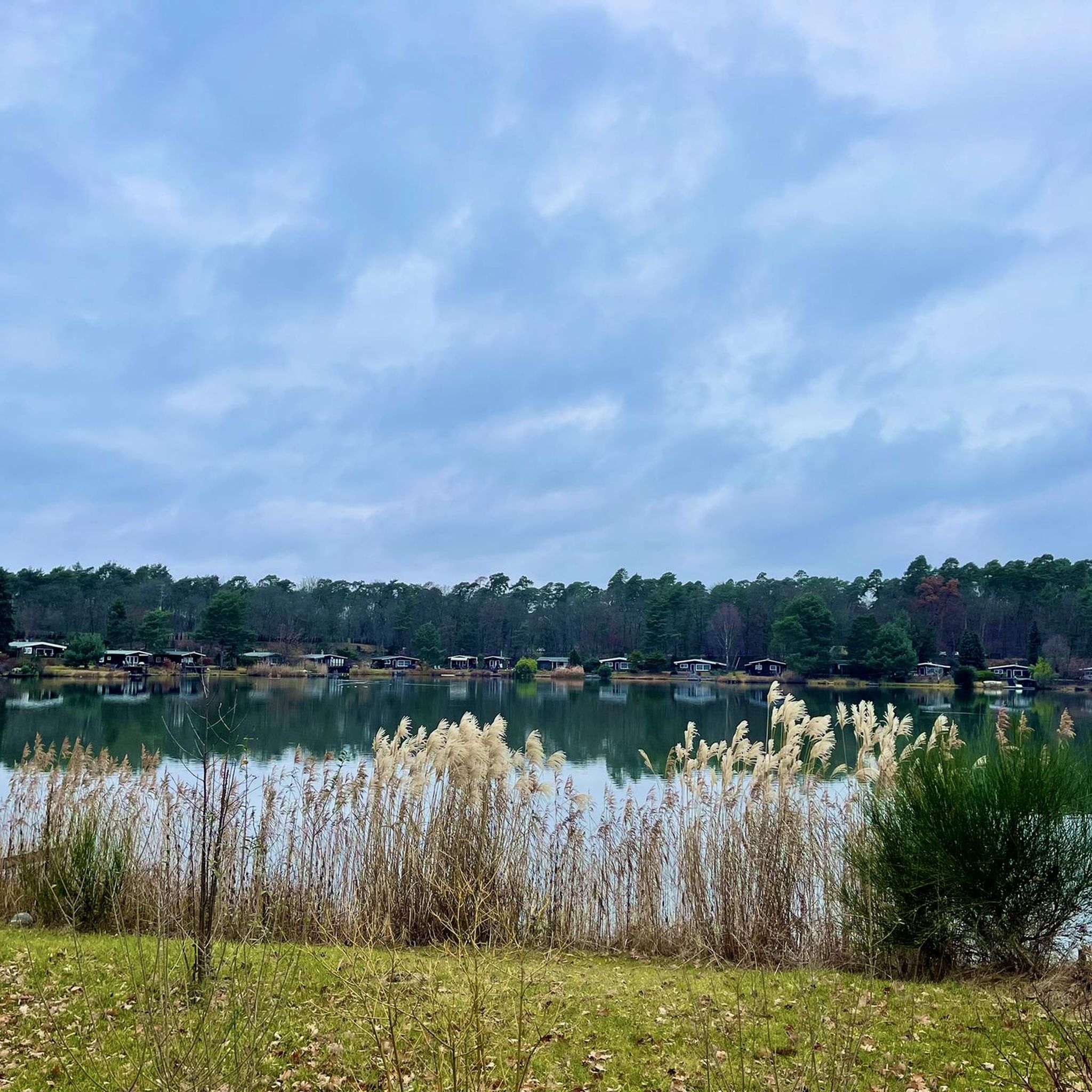
Beautiful view of the lake
0
0

Right by the lake there are benches with views of the lake and the Hahnenkamm mountain.
2
0
The food here is delicious.
2
0
The registered location offers no view of the lake.
2
0
Frequently Asked Questions
How many hiking trails are available around Kahl am Main?
There are nearly 100 hiking routes around Kahl am Main, catering to various preferences. Most of these, about 73, are considered easy, while 24 are moderate. There are no difficult trails listed, making the area accessible for a wide range of hikers.
What types of landscapes can I expect to see while hiking in Kahl am Main?
Kahl am Main offers a diverse mix of landscapes. You'll find unique moorland and numerous quarry lakes within the Kahler Seenplatte (Kahl Lake District), extensive forests, and varied hilly terrain. The Main river and its banks also provide picturesque, flatter paths, especially where the Kahl river flows into the Main.
Are there any family-friendly hiking options in Kahl am Main?
Yes, Kahl am Main is well-suited for families. Many of the nearly 100 available routes are classified as easy, making them ideal for all ages. The flat paths along the Main river and the well-signposted trails through the Kahler Seenplatte are particularly popular for leisurely walks with children.
What are some notable landmarks or viewpoints to discover on a hike?
Hikers can enjoy several interesting landmarks and viewpoints. Consider visiting the Ludwig Tower (Hahnenkamm) or the Buchberg Tower for extensive panoramic views. The Schanzenkopf Castle (hillfort) offers a blend of natural elevation and historical significance. You might also encounter the Seligenstadt Abbey and its charming Old Town nearby.
What is the best time of year to go hiking in Kahl am Main?
The best seasons for hiking in Kahl am Main are spring and autumn. During these times, nature is vibrant with colors, and the mild climate is ideal for long walks. The quarry ponds also offer refreshing breaks in summer.
Are there any circular hiking routes in the area?
Yes, many routes in Kahl am Main are designed as loops. For example, the Lindensee (Kahler Lakes Plateau) – Lowest point in Bavaria loop from Kahl Kopp/Heide is a moderate 12.9 km circular path that explores the lake district and the lowest point in Bavaria.
Can I access hiking trails in Kahl am Main using public transport?
Yes, Kahl am Main is accessible by public transport. There are routes like the Kahl am Main train station – Narrow Railway Underpass loop from Kahl (Main) which starts directly from the train station, making it convenient for those arriving without a car.
What do other hikers enjoy most about hiking in Kahl am Main?
The area is highly rated by the komoot community, with an average score of 4.5 stars from nearly 400 reviews. Hikers often praise the varied scenery, particularly the unique Kahler Seenplatte with its quarry lakes, and the peaceful forest paths. The accessibility of routes for different skill levels is also frequently highlighted.
Are there any routes that feature the Main river?
Absolutely. Kahl am Main is situated directly on the Main river, and its banks offer excellent opportunities for leisurely walks. The Main Cycle Path, which runs through the town, is also suitable for walking and provides picturesque views of the water and historical buildings.
What are the typical durations for hikes in Kahl am Main?
Hikes in Kahl am Main vary in length and duration. You can find shorter, easy routes like the View of Schloss Emmerichshofen – Lindensee (Kahler Lakes Plateau) loop from Kahl / Heide, which is about 5.6 km and takes around 1 hour 27 minutes. Longer, moderate options, such as the Lindensee (Kahler Lakes Plateau) – View of Schloss Emmerichshofen loop from Kahl Kopp/Heide, can be around 7.9 km and take over 2 hours.
Are there opportunities for swimming or water activities near the hiking trails?
Yes, the Kahler Seenplatte (Kahl Lake District) features numerous quarry lakes. In summer, these lakes offer opportunities for a refreshing break and a cool-down during hikes. Some even provide facilities for angling, boating, swimming, and surfing, with a large campsite at the Ostsee.
Most popular routes around Kahl am Main
Most popular attractions around Kahl am Main

Get inspired with the komoot mobile app


Explore more
Browse the best Hikes in other regions.
