The best road cycling routes around Kahl am Main
4.6
(859)
11,194
riders
14
rides
Road cycling around Kahl am Main offers diverse terrain, from flat river paths to more challenging routes with elevation gains. The region is characterized by the confluence of the Main and Kahl rivers, providing scenic routes along their banks. Cyclists can explore the unique Kahler Seenplatte (Kahl Lake District) and venture towards the Spessart forest, which introduces varied topography. This blend of water, forest, and open landscapes makes Kahl am Main suitable for a range of road cycling experiences.
Best road cycling routes around Kahl am Main
- The most popular road cycling route is Hohler Buckel Ascent – Descent to Hohl loop from Kahl (Main), a 31.3 miles (50.3 km) trail that takes 2 hours 19 minutes to complete. This moderate route features varied ascents and descents through the landscape.
- Another top favourite among local road cyclists is Quiet Road Through the Forest – Kilianus Bridge loop from Kahl Kopp/Heide, a moderate 28.1 miles (45.2 km) path. This route offers a tranquil ride through forested areas, providing a peaceful cycling experience.
- Local road cyclists also love the Alzenau Castle – Michelbach Castle loop from Kahl (KVG), a 31.8 miles (51.2 km) trail leading through historical landmarks, often completed in about 2 hours 6 minutes.
- Road cycling around Kahl am Main is defined by the Main and Kahl rivers, the Kahler Seenplatte, and the nearby Spessart forest. The network offers options for different ability levels, from flat river routes to more challenging climbs.
- The routes in Kahl am Main are highly rated by the komoot community with an average score of 4.7 stars from more than 40 reviews. More than 700 road cyclists have used komoot to explore Kahl am Main's varied terrain.
Last updated: August 25, 2026
4.4
(27)
266
riders
51.1km
02:21
530m
530m
Moderate road ride. Good fitness required. Mostly well-paved surfaces and easy to ride.
4.7
(18)
162
riders
45.1km
01:51
150m
150m
Moderate road ride. Great for any fitness level. Some segments of this route may be unpaved and difficult to ride.

Sign up for free
3.7
(3)
69
riders
65.3km
03:25
1,170m
1,170m
Hard road ride. Very good fitness required. Mostly well-paved surfaces and easy to ride.
4.6
(5)
90
riders
51.8km
02:07
250m
250m
Moderate road ride. Good fitness required. Mostly well-paved surfaces and easy to ride.
5.0
(3)
50
riders
Easy road ride. Great for any fitness level. Mostly well-paved surfaces and easy to ride.
Get access to more routes and recommendations from other explorers.
Sign up for free
Already have an account?
Our route recommendations are based on thousands of hikes, rides, and runs completed by other people on komoot.
Start today with a free account
Your next adventure awaits.
Login or Signup

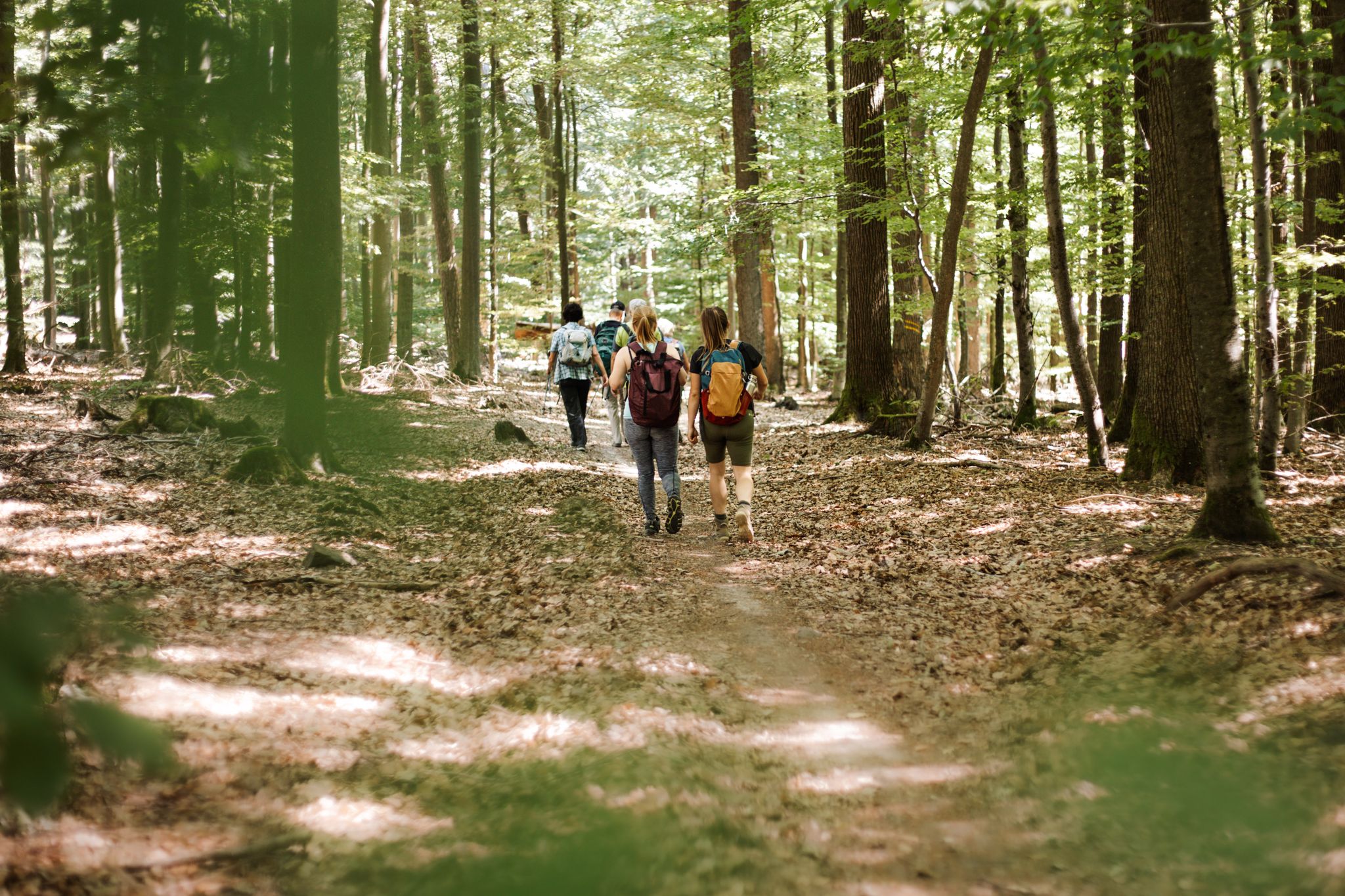
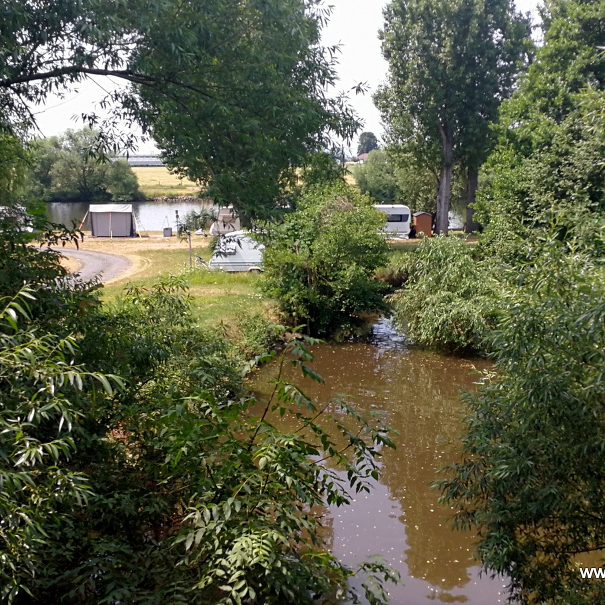
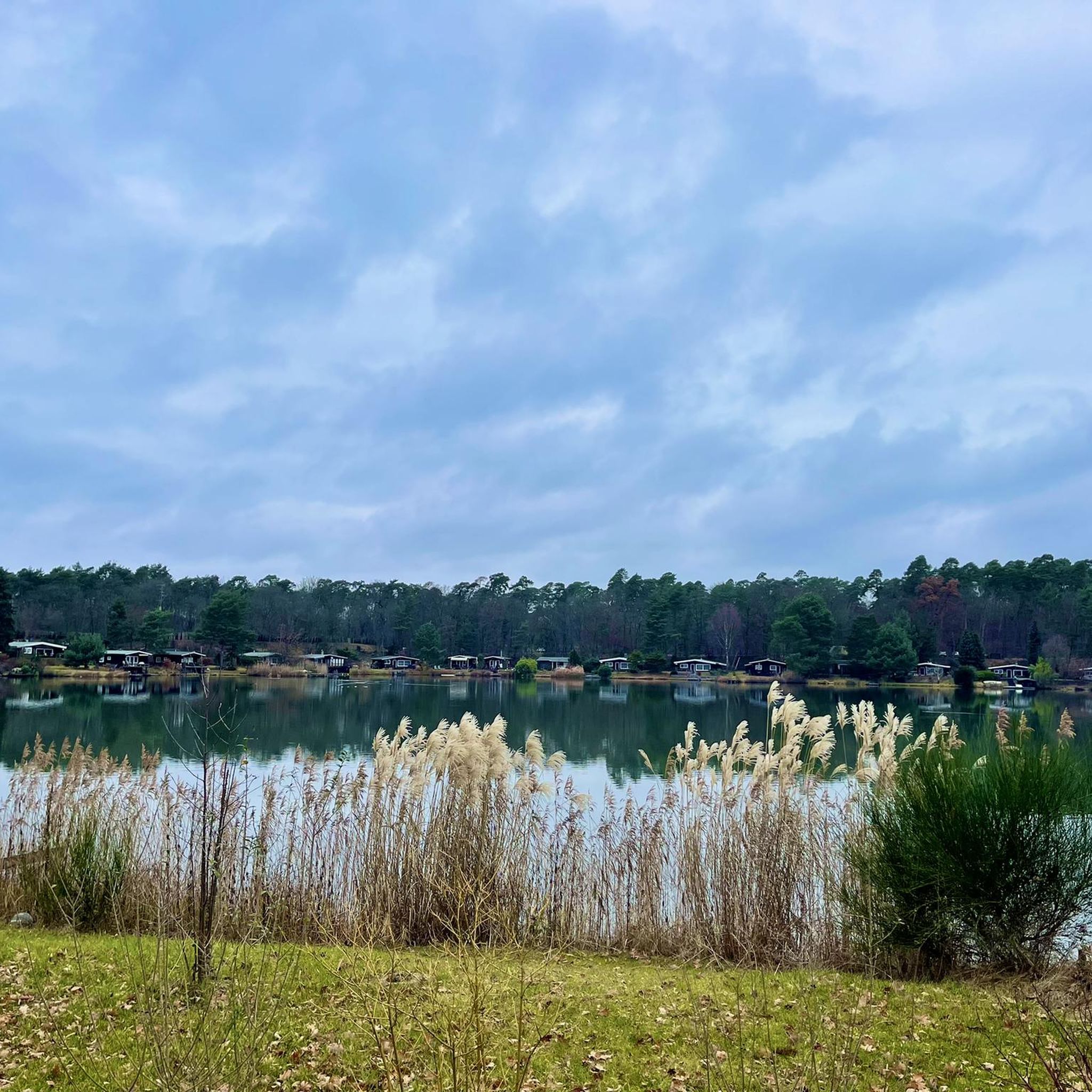



Tips from the Community

When the craving for meat strikes on Sundays and public holidays or at the end of a tour, you can quickly stock up here. Marinated steaks, sausages, canned sausages. But also chilled drinks and wine. Payable by card, NFC and cash. Except for wine, with this one, only cash is king.
0
0


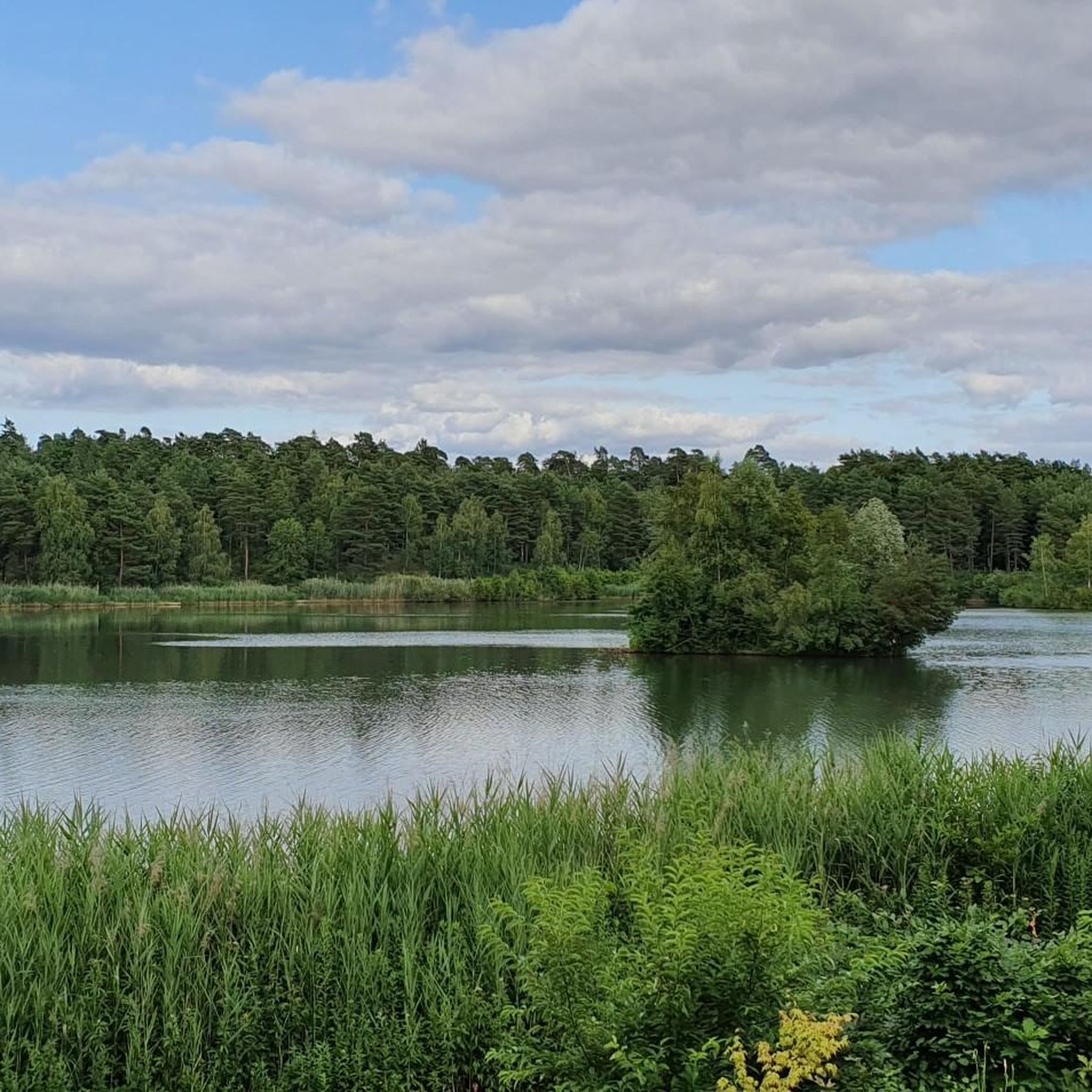
It is a beautiful lake. However, swimming is forbidden here.
1
0


Beautiful Biergarten and delicious food. 😋
0
0
They have a nice beer garden.
0
0
Located in Alzenau's city park.
0
0
Frequently Asked Questions
How many road cycling routes are available around Kahl am Main?
There are over 10 road cycling routes around Kahl am Main listed on komoot, offering a variety of experiences for different skill levels. The region is highly rated by the komoot community, with an average score of 4.7 stars from more than 40 reviews.
What is the best time of year for road cycling in Kahl am Main?
The best seasons for road cycling in Kahl am Main are spring and summer. During these months, the weather is mild, and the scenery, including forests and vineyards, is vibrant and in full bloom, making for picturesque rides.
What kind of terrain can I expect when road cycling around Kahl am Main?
The terrain around Kahl am Main is quite diverse. You'll find many flat, well-maintained paths along the Main and Kahl rivers, ideal for leisurely rides. However, the proximity to the Spessart forest also means there are more challenging routes with significant elevation gains, such as those featuring the Spessart Pass, appealing to experienced riders.
Are there road cycling routes suitable for beginners or families?
Yes, Kahl am Main offers several easy road cycling routes, particularly those following the Main River. For example, the Mauseloch Tunnel – Quiet Road Through the Forest loop from Kahl am Main is an easy option, providing a gentle introduction to the area's cycling paths.
Are there challenging road cycling routes for experienced riders?
Absolutely. For experienced cyclists seeking a challenge, routes venturing into the Spessart forest offer significant elevation changes. A difficult route like the Descent to Hohl – Engländer Climb (Spessart Nature Park) loop from Kahl (Main) features substantial ascents and descents, providing a demanding ride with rewarding views.
What historical landmarks or points of interest can I see along road cycling routes?
Many routes pass by or near historical sites. You could cycle to the historic town center of Seligenstadt Old Town, known for its Einhard Basilica, or explore routes that lead past Kilianus Bridge. The Alzenau Castle – Michelbach Castle loop from Kahl (KVG) specifically highlights historical landmarks.
Are there scenic viewpoints accessible by road bike?
Yes, the region offers several viewpoints that provide panoramic vistas. While not directly on every road cycling route, the area's proximity to the Spessart and Odenwald low mountain ranges means elevated points like the Ludwig Tower (Hahnenkamm) offer extensive views, reportedly reaching as far as Frankfurt am Main.
What natural features define the road cycling experience in Kahl am Main?
The road cycling experience in Kahl am Main is characterized by its unique blend of water and forest. You'll cycle along the scenic Main and Kahl rivers, explore routes near the Kahler Seenplatte (Kahl Lake District) with its quarry lakes, and venture into surrounding forests and vineyards, especially charming in spring and summer.
Can I find circular road cycling routes in the area?
Yes, many of the road cycling routes around Kahl am Main are designed as loops, allowing you to start and finish in the same location. Examples include the popular Hohler Buckel Ascent – Descent to Hohl loop from Kahl (Main) and the tranquil Quiet Road Through the Forest – Kilianus Bridge loop from Kahl Kopp/Heide.
Is there public transport access to road cycling trailheads in Kahl am Main?
Kahl am Main is generally well-connected, and its central location makes it accessible by public transport. Cyclists can often reach starting points for routes via local train services, particularly those along the Main River, which is a major cycling artery.
Are there cafes or places to stop for refreshments along the routes?
Yes, many routes, especially those following the Main River and passing through small villages, offer opportunities to stop at charming cafes and pubs. The region is known for its hospitality, providing convenient spots for refreshments during your ride.
What do other road cyclists enjoy most about road cycling in Kahl am Main?
The komoot community highly rates road cycling in Kahl am Main, with an average score of 4.7 stars. Cyclists often praise the diverse terrain, from flat river paths to challenging climbs, and the beautiful natural scenery, including the rivers, lakes, and forests. The well-maintained paths and the blend of nature and historical sites are frequently highlighted.
Most popular routes around Kahl am Main
Most popular attractions around Kahl am Main

Get inspired with the komoot mobile app


Explore more
Browse the best Road cycling routes in other regions.
