The best running trails around Staig
4.4
(1028)
26,249
runners
651
runs
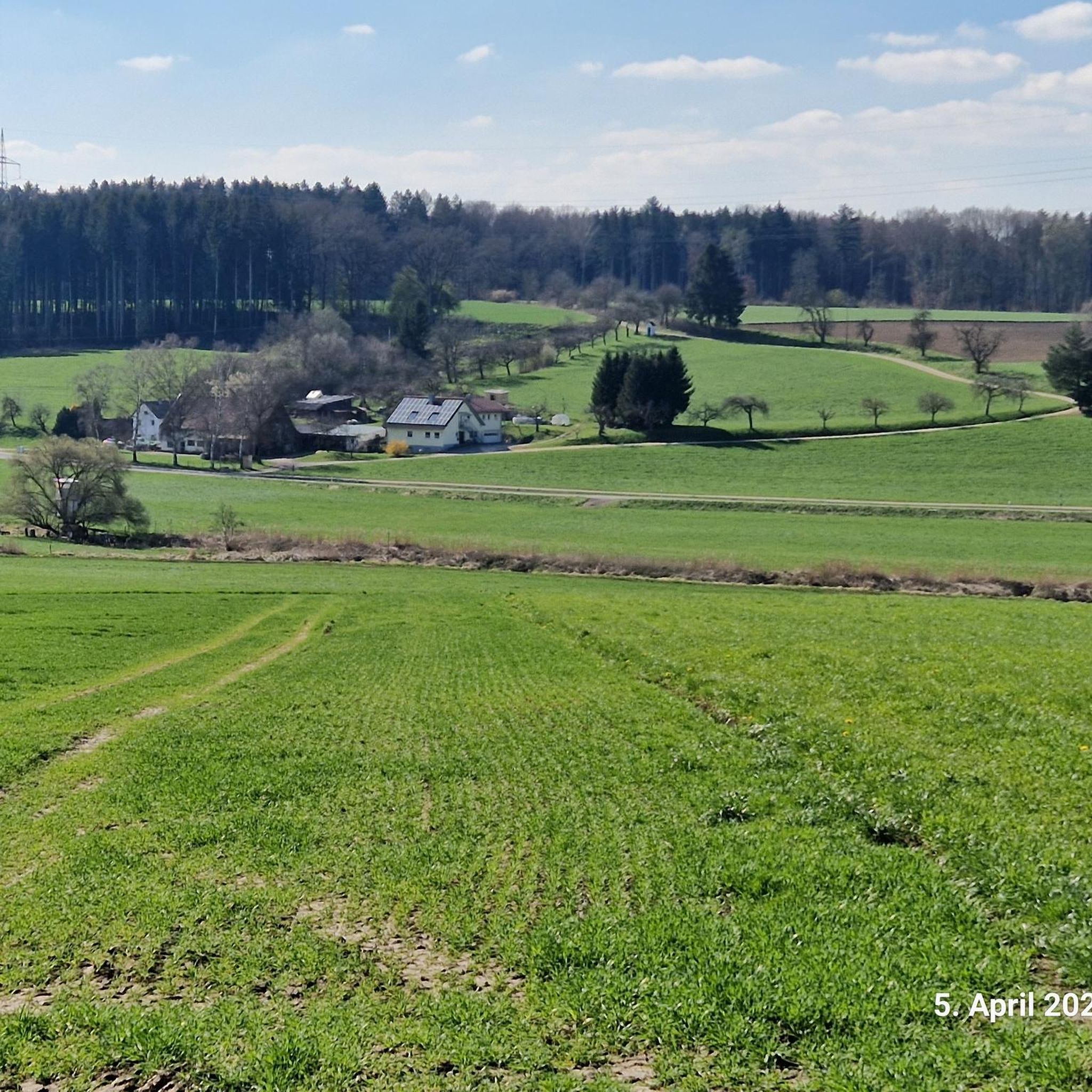
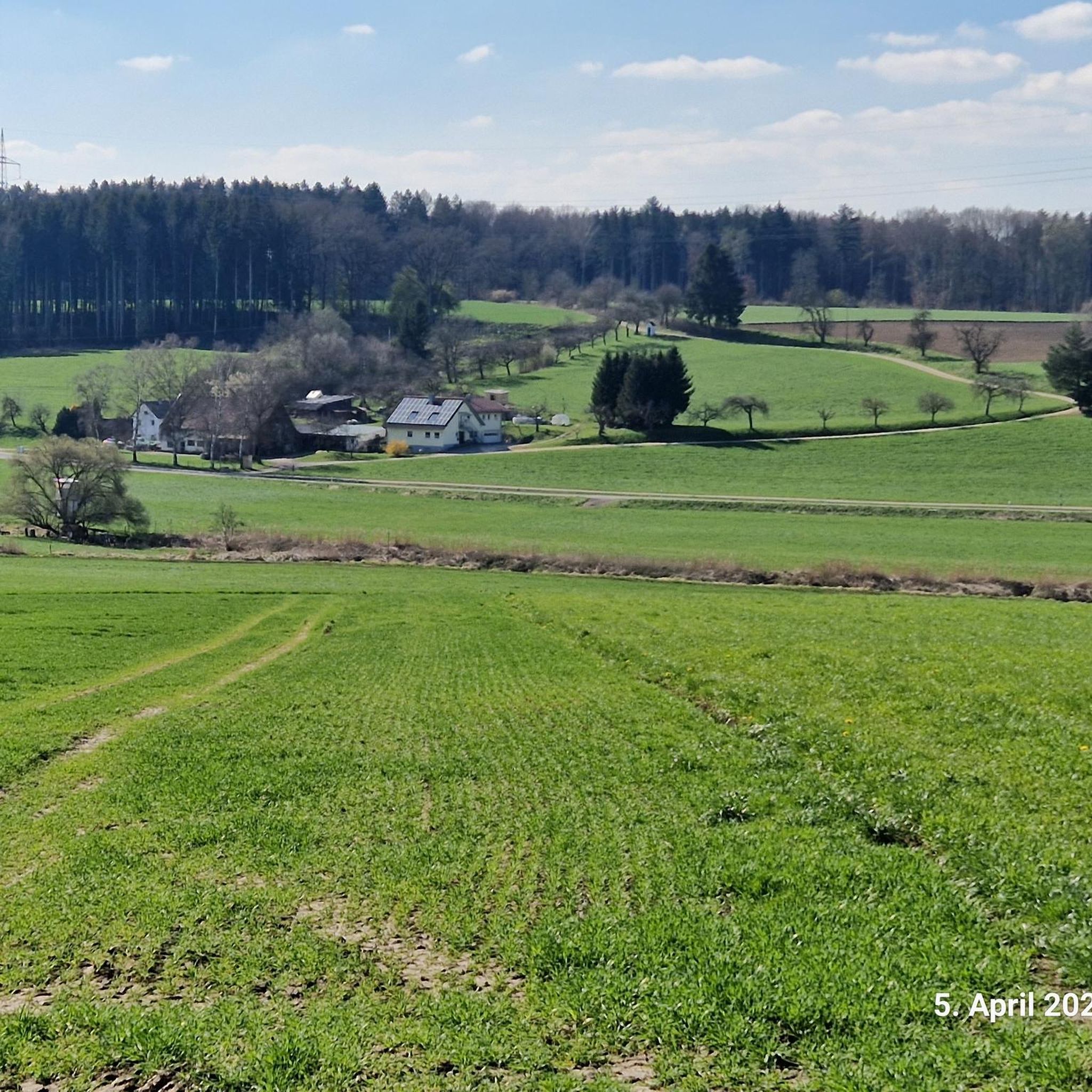
Jogging routes around Staig are characterized by a diverse landscape situated on the edge of the Swabian Alb, nestled between the Danube and Iller rivers. The region features a hilly terrain with valleys like the Weihung, extensive wooded areas such as the Staiger Wald, and picturesque orchards. This varied topography provides engaging running routes with both ascents and descents, offering scenic views over the Danube valley.
Best jogging routes around Staig
- The most popular jogging route is Marienkirche Staig loop…
Last updated: October 5, 2026
5.0
(1)
16
runners
12.1km
01:15
50m
50m
Moderate run. Good fitness required. Mostly paved surfaces. Suitable for all skill levels.
20
runners
7.19km
00:44
20m
20m
Moderate run. Good fitness required. Mostly paved surfaces. Suitable for all skill levels.

16
runners
4.96km
00:31
40m
40m
Easy run. Great for any fitness level. Mostly paved surfaces. Suitable for all skill levels.
8
runners
5.26km
00:33
50m
50m
Moderate run. Good fitness required. Mostly paved surfaces. Suitable for all skill levels.
5
runners
7.69km
00:49
50m
50m
Moderate run. Good fitness required. Mostly paved surfaces. Suitable for all skill levels.
Get access to more routes and recommendations from other explorers.
Already have an account?
Our route recommendations are based on thousands of hikes, rides, and runs completed by other people on komoot.
Start today with a free account
Your next adventure awaits.
Tips from the Community

In 1498 the area became part of the Duchy of Bavaria-Landshut, but was sold to the Fuggers in 1507. The Counts Fugger von Kirchberg still have their seat today in the castle built in 1767 by Franz Anton Bagnato.
3
0


Good opportunity to buy eggs
0
0
Nice view of the Iller from the bridge
5
0

The first church was built in 1470 and demolished in 1869 for lack of stability. The tower remained standing and it was a new church from 1869 - 1876 in neo-Gothic style. In the 80s the church was sold to Peter Rau (atelier for restoration). The legendary "Super Drumming" (1st season from February 8th to February 20th, 1987) took place there in a dilapidated state. Super Drumming 🥁 was a German music program on ARD, in which live music was presented in a special setting without an audience. The focus was on the drums and percussions. The world's best drummers were presented by drummer Pete York. Then the excavators 🏗️ moved into the church and a lengthy restoration began in 1988 until 1993, by the new owner of the former church. The restorer Peter Rau divided the church into two levels. In the upper area the gallery of the Marienkirche, a hall for cultural events and in the lower part a studio for conservation and restoration was built. In the beginning concerts and exhibitions were held, but in the last few years the church was no longer open to the public. So this jewel slumbered in a deep slumber for a long time 🌹
2
0
Great way along the Iller
2
0

Nice castle, unfortunately cannot be visited.
1
0
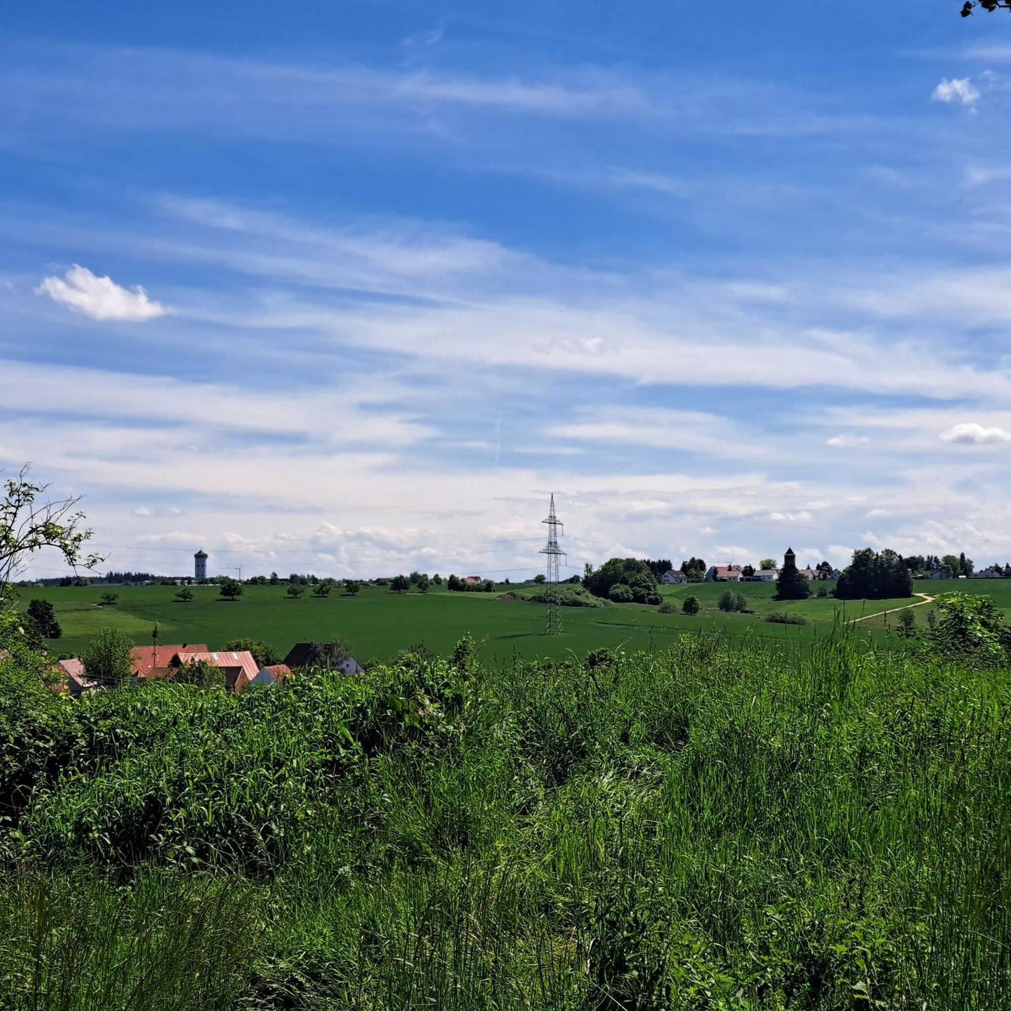
That's how you can live. An old water tower was converted into a residential tower.
0
0
Frequently Asked Questions
How many running routes are available in Staig?
Staig offers an extensive network of over 650 running routes, catering to various preferences and fitness levels. You'll find everything from easy jogs to more challenging trails through its diverse landscapes.
Are there easy running routes suitable for beginners or a relaxed jog in Staig?
Yes, Staig has nearly 80 easy running routes perfect for beginners or those looking for a relaxed pace. Many of these routes feature gentle terrain through forests and fields, such as the Iller Bridge – Northern Waldsee loop from Senden, which offers minimal elevation gain over its 7.2 km.
What kind of terrain can I expect on the running trails around Staig?
The running trails in Staig are incredibly varied. You'll encounter hilly terrain and valleys, especially around the Weihung valley, extensive wooded areas like the Staiger Wald, picturesque orchards, and paths offering scenic views over the Danube valley. Surfaces range from paved sections to gravel paths and natural forest trails.
Are there any circular running routes in Staig?
Many of the running routes in Staig are designed as circular loops, making them convenient for starting and ending at the same point. A popular option is the Marienkirche Staig loop from Staig, which covers over 12 km and offers a moderate challenge.
Can I find running routes with scenic views in Staig?
Absolutely. Staig's location on the edge of the Swabian Alb and between the Danube and Iller rivers means many trails offer inspiring views. Look for routes that traverse higher ground or pass through open areas to enjoy panoramic vistas over the Danube valley and the surrounding countryside.
Are there any family-friendly running routes in Staig?
While specific 'family-friendly' running routes aren't explicitly categorized, many of the easy and moderate trails, particularly those through the idyllic forests and orchards, are suitable for families. Routes with less elevation and well-maintained paths, like the Kirchberg Castle – Former Water Tower loop from Illerkirchberg, can be great options for a family outing.
What are some interesting landmarks or points of interest I might see while running in Staig?
Beyond the natural beauty, you might encounter various points of interest. For example, the region has several huts and shelters like the Forestry Workers' Shelter Maienwald or the Kahlenberg Hut. Some routes also pass by historical sites or offer glimpses of local architecture.
Are there less crowded running routes in Staig?
With over 650 routes, it's possible to find less crowded options, especially during off-peak hours or by exploring some of the lesser-known trails. The extensive network through the Staiger Wald and other wooded areas provides ample opportunities for a peaceful run away from busier spots.
What do other runners say about the trails in Staig?
The running trails in Staig are highly regarded by the komoot community, with an average rating of 4.39 out of 5 stars from nearly 1000 reviews. Runners often praise the diverse landscapes, the peaceful ambiance of the forests, and the well-signposted paths that make navigation easy.
Are there running routes that follow rivers or have water features in Staig?
Yes, some routes in and around Staig incorporate water features. The region is situated between the Danube and Iller rivers, and you can find trails that run alongside them, such as the Iller Cycle Path – Iller Riverside Cycle Path loop from Illerkirchberg. Additionally, the region research mentions routes winding through wooded areas with ponds, adding to the scenic beauty.
Can I find routes suitable for advanced runners looking for a challenge?
Certainly. While many routes are moderate, Staig offers over 50 difficult running trails for experienced runners seeking a greater challenge. These routes often feature more significant elevation changes and cover longer distances, testing endurance and skill.
Are there any specific running loops that start directly from Staig?
Yes, several convenient running loops start directly from the municipality of Staig. An example is the Running loop from Staig, which is a moderate 7.6 km route, perfect for a local jog.
Most popular routes around Staig
Most popular attractions around Staig

Get inspired with the komoot mobile app


Explore more
Browse the best Running Trails & Routes in other regions.
