The best road cycling routes around Staig
4.6
(1978)
28,539
riders
653
rides
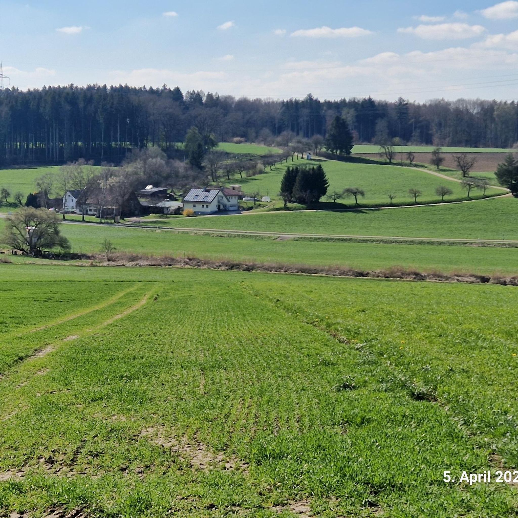
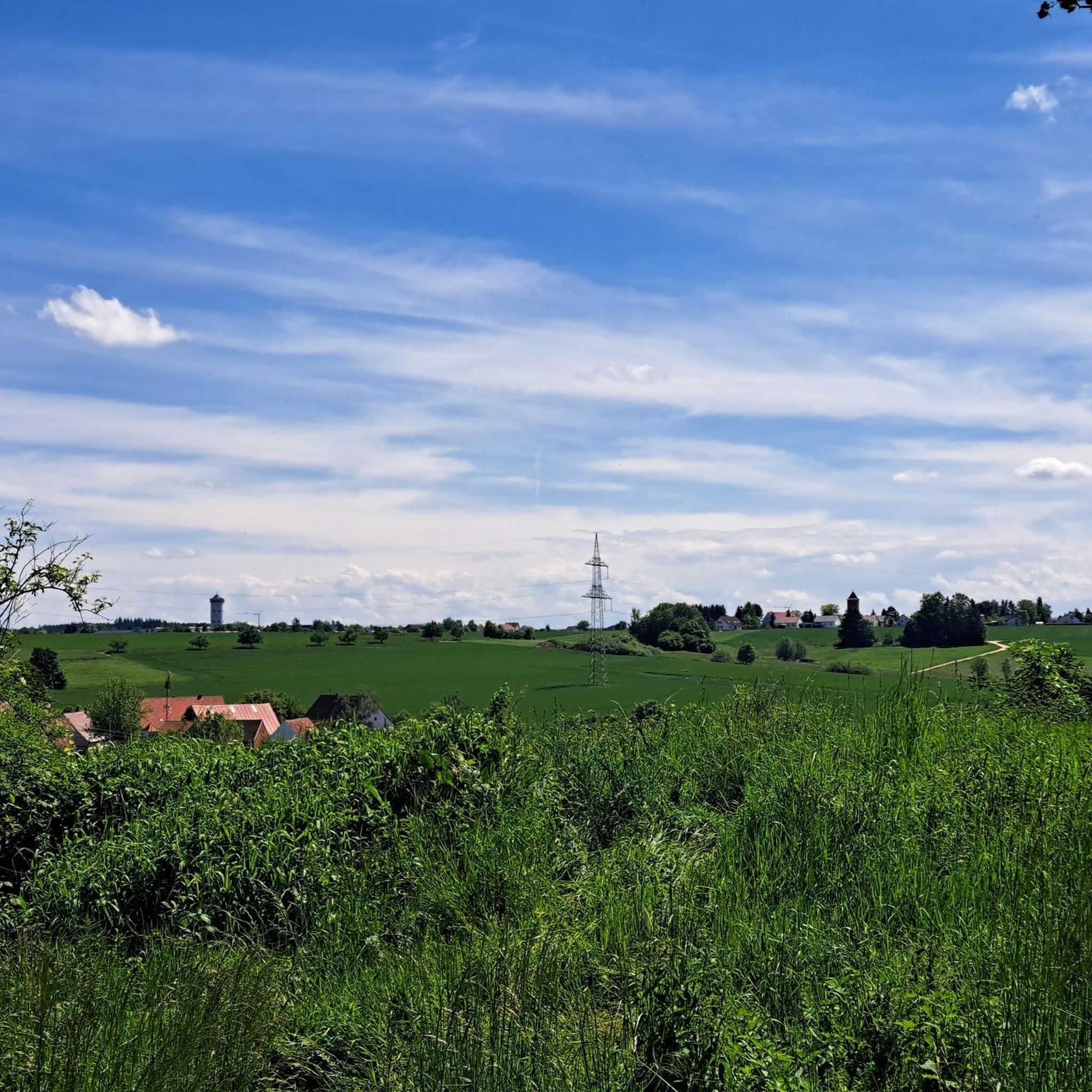
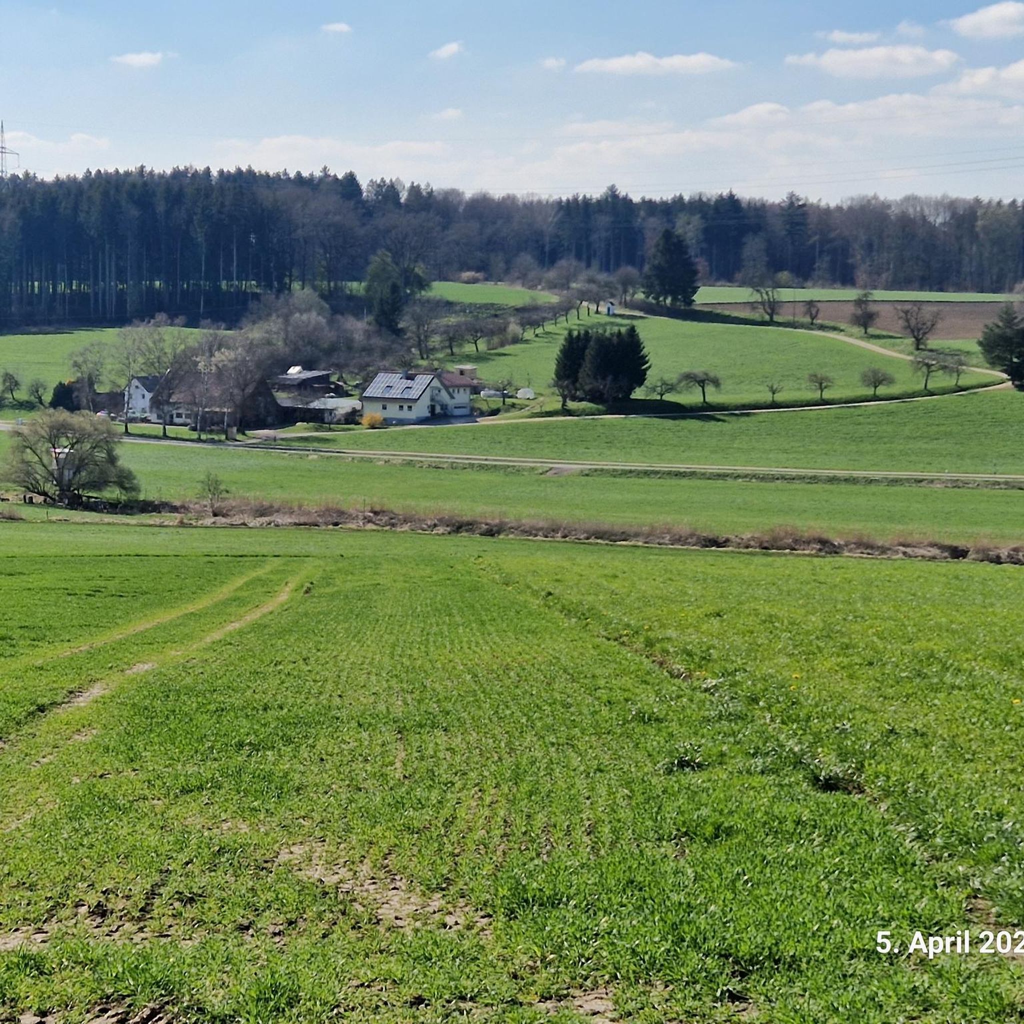
Road cycling around Staig features a landscape characterized by river valleys, nature reserves, and agricultural fields. The region offers a mix of flat sections along waterways and gentle rolling hills, providing varied terrain for road cyclists. Elevation gains are generally moderate, with some routes featuring short climbs. The area's network of roads connects villages and natural areas, making it suitable for exploring by road bike.
Best road cycling routes around Staig
- The most popular road cycling route is Lichternsee Cycle…
Last updated: July 1, 2026
5.0
(1)
32
riders
42.5km
01:49
330m
330m
Moderate road ride. Good fitness required. Mostly well-paved surfaces and easy to ride.
37
riders
Easy road ride. Great for any fitness level. Mostly well-paved surfaces and easy to ride.

Sign up for free
24
riders
Easy road ride. Great for any fitness level. Mostly well-paved surfaces and easy to ride.
10
riders
39.1km
01:43
350m
350m
Moderate road ride. Good fitness required. Mostly well-paved surfaces and easy to ride.
13
riders
56.4km
02:16
240m
240m
Moderate road ride. Good fitness required. Mostly well-paved surfaces and easy to ride.
Get access to more routes and recommendations from other explorers.
Sign up for free
Already have an account?
Our route recommendations are based on thousands of hikes, rides, and runs completed by other people on komoot.
Start today with a free account
Your next adventure awaits.
Login or Signup
Tips from the Community

Beautiful area on the banks of the Danube
2
0

Very nice view of the cathedral
0
0

As a replacement for the bridge located a little further downstream until the new Adenauer Bridge (an eight-lane road bridge) is completed. It is the only way to cross the Danube at river level from the Danube Valley.
1
0

Great alternative even with the racing bike away from the road
0
0

Next to the church there is an ice cream café with delicious ice cream!
0
0


As usual near the city, it's a bit crowded, especially on weekends. But it's nice here.
0
0

Erbach Castle is situated majestically on the Danube bank with a magnificent view.
2
0
Frequently Asked Questions
What kind of terrain can I expect on road cycling routes around Staig?
Road cycling around Staig features a diverse landscape characterized by river valleys, nature reserves, and agricultural fields. You'll find a mix of flat sections along waterways and gentle rolling hills, with generally moderate elevation gains and some routes featuring short climbs.
Are there easy road cycling routes suitable for beginners in Staig?
Yes, Staig offers a good selection of easy routes. Approximately 147 routes are classified as easy. A great option for beginners is the Lichternsee Cycle Path – Lichternsee Nature Reserve loop from Ammerstetten, which is 22.4 miles long and traverses a nature reserve with minimal elevation gain.
What challenges do advanced road cyclists face in Staig?
While many routes feature moderate elevation, Staig also offers challenges for advanced cyclists. There are 53 routes classified as difficult, which incorporate more significant climbs and longer distances. The region's varied terrain ensures that experienced riders can find routes to test their endurance.
Are there family-friendly road cycling options in Staig?
Yes, the region's flat sections along river valleys and nature reserves are well-suited for families. Routes with minimal elevation, such as those through the Lichternsee Nature Reserve, provide a pleasant and safe environment for family outings.
What are the typical distances for road cycling routes around Staig?
Route distances vary, but many popular options range from 20 to 35 miles. For example, the Dietenheim Town Center – Idyllic Sunflower Field loop from Staig is 26.4 miles, while the View of the Danube – View of the Danube River loop from Staig extends to 35 miles.
When is the best time of year for road cycling in Staig?
The most favorable time for road cycling in Staig is typically from spring through autumn. During these seasons, the weather is generally mild, and the natural landscapes are at their most vibrant, offering pleasant conditions for exploring the region.
Are there scenic viewpoints or hidden gems to discover along the routes?
Absolutely. Many routes offer scenic views of the Danube and Iller river valleys, as well as agricultural landscapes. For a notable viewpoint, consider the Iller Bridge – Panoramic View of Allewind loop from Staig. You can also explore natural monuments like the Confluence of the Iller and Danube or the Illerspitz.
What kind of attractions can I find near the road cycling routes?
Beyond the cycling itself, you can explore various natural and historical attractions. Highlights include the Berblinger Tower, the ancient Sonnwendplatz Ermingen Stone Circle, and several lakes such as Großer Ersinger Lake and Ludwigsfelder Lake, some of which have birdwatching towers like the Plessenteich Birdwatching Tower.
Are there circular road cycling routes available in Staig?
Yes, many of the road cycling routes around Staig are designed as loops, allowing you to start and end at the same point. Examples include the Danube Fork near Donaustetten – Donautal Road Cycling Route loop from Staig, which takes you through the Danube valley.
What do other road cyclists enjoy most about road cycling in Staig?
The area is highly rated by the komoot community, with an average score of 4.6 stars from over 1,600 reviews. Reviewers often praise the varied terrain, which offers both flat sections for relaxed rides and gentle hills for a good workout, as well as the scenic agricultural and river valley landscapes.
How many road cycling routes are available in the Staig region?
There are over 600 road cycling routes available around Staig, catering to various skill levels and preferences. This extensive network ensures plenty of options for exploration.
Most popular attractions around Staig

Get inspired with the komoot mobile app


Explore more
Browse the best Road cycling routes in other regions.
