The best running trails around Unterkirnach
4.4
(422)
5,479
runners
649
runs
Jogging around Unterkirnach offers diverse and accessible natural features within the Southern Black Forest Nature Park. The region is characterized by extensive forested areas, including the Unterkirnach Forest Reserve, providing shaded trails away from urban disturbances. Runners can find varied terrain and elevation changes, with routes ranging from gentle paths to more challenging trails featuring up to 300 meters of elevation gain. This landscape provides a mix of quiet natural environments and well-documented running routes.
Best jogging routes around Unterkirnach
…Last updated: July 11, 2026
35
runners
Hard run. Good fitness required. Sure-footedness, sturdy shoes and alpine experience required.
28
runners
9.66km
01:01
80m
80m
Moderate run. Good fitness required. Mostly paved surfaces. Suitable for all skill levels.

Sign up for free
5.0
(1)
13
runners
Moderate run. Good fitness required. Mostly paved surfaces. Suitable for all skill levels.
7
runners
16.9km
01:50
220m
220m
Hard run. Very good fitness required. Sure-footedness, sturdy shoes and alpine experience required.
5
runners
13.3km
01:29
240m
240m
Hard run. Good fitness required. Sure-footedness, sturdy shoes and alpine experience required.
Get access to more routes and recommendations from other explorers.
Sign up for free
Already have an account?
Our route recommendations are based on thousands of hikes, rides, and runs completed by other people on komoot.
Start today with a free account
Your next adventure awaits.
Login or Signup
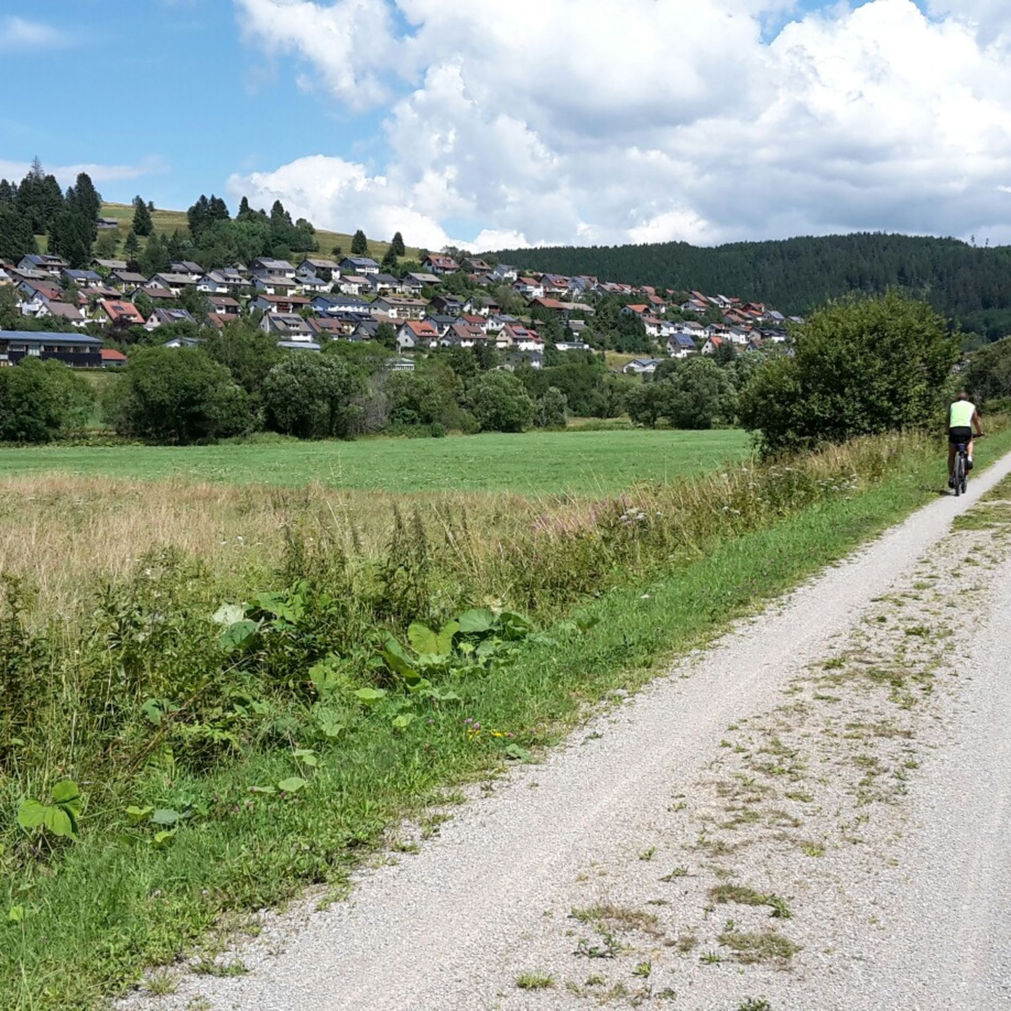
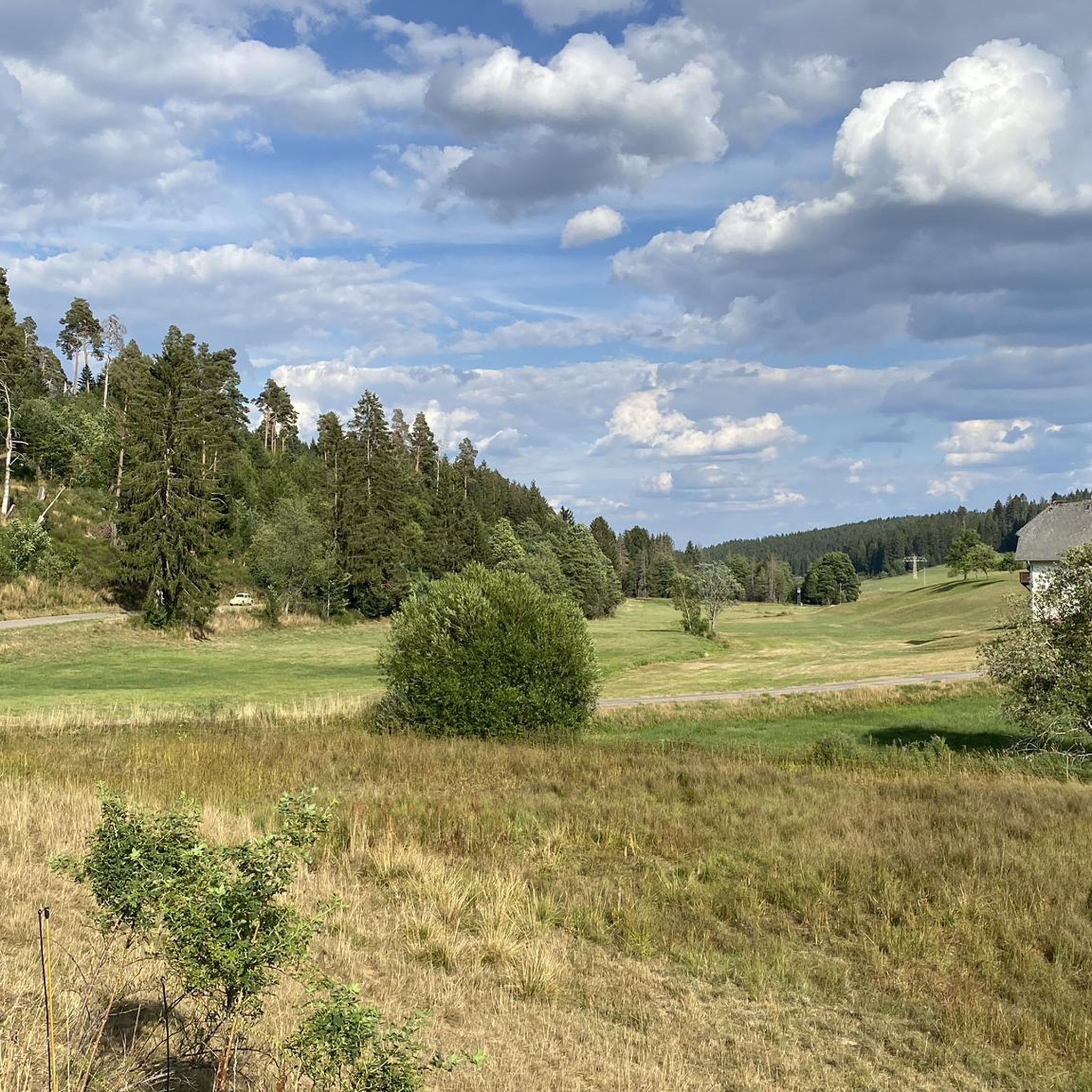
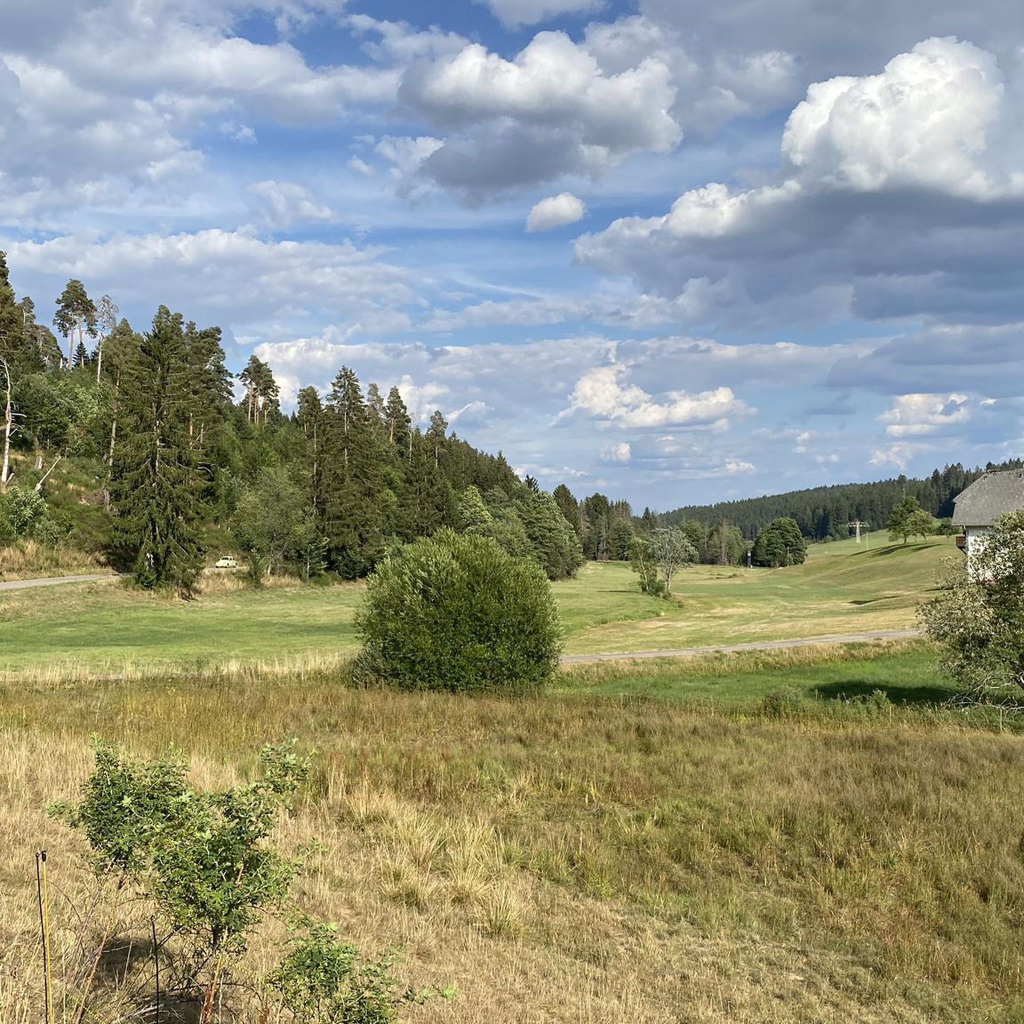
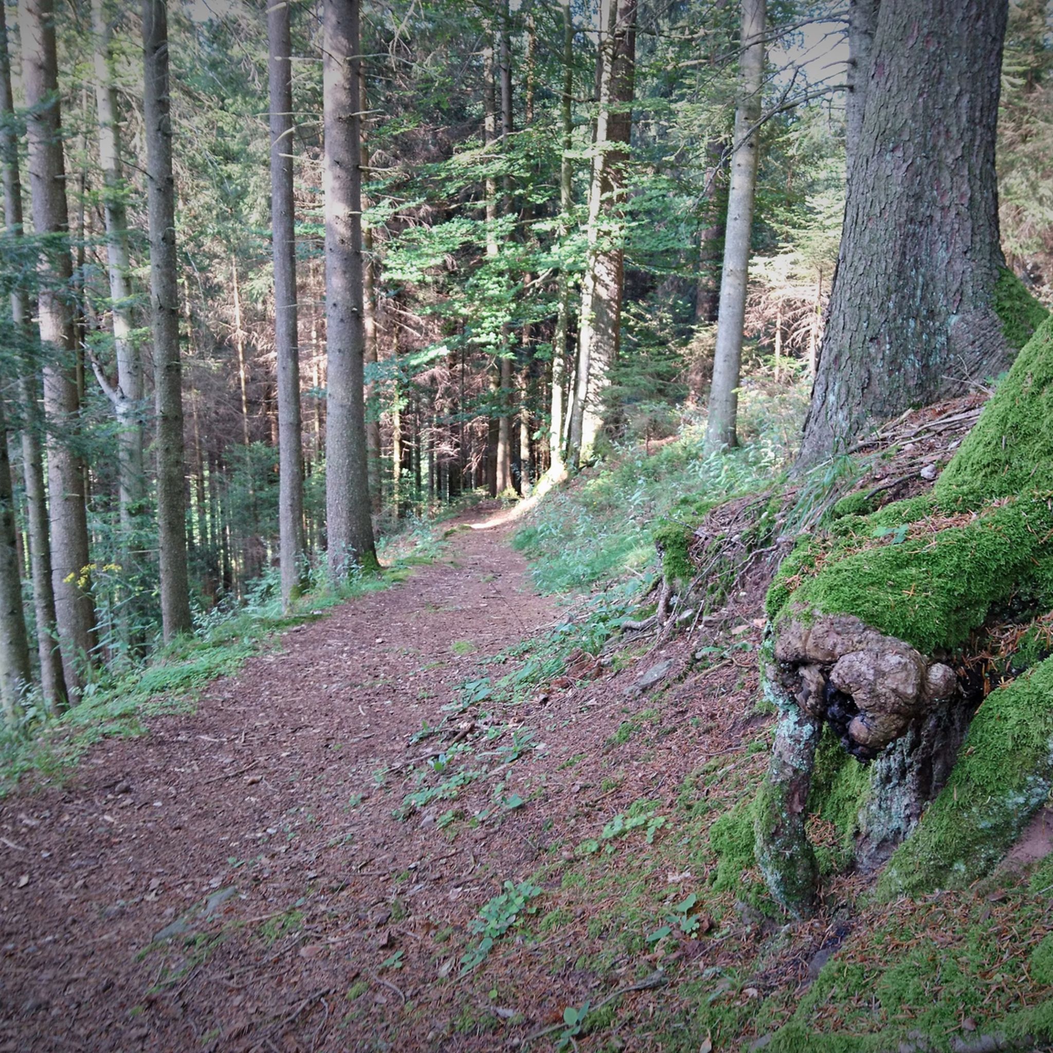
Tips from the Community

It's recommended to download the route offline to your phone beforehand, or to have an analog copy with you in case you want to double-check if you've taken a wrong turn. We had no cell reception for long stretches along the way.
0
0
Beautiful mossy forest paths, especially in the first half of the trail through the Germanswald forest. The route is very well signposted for the most part, but in some places, in my opinion, the signage is not ideally placed, so it's easy to take a wrong turn.
1
0

You can stop for a bite to eat at the Feldner Mill, please inquire about opening hours beforehand
0
0

Is 11.3 km long an easy round trip
8
0
The Groppertal Panorama Trail also runs along here
6
0

Information about the Feldner Mill can be found here: https://www.feldner-muehle.de/
1
0
Information about the Uhustein can be found here: https://www.schwarzwald-tourismus.info/attraktionen/uhustein-5b6df015aa
1
0
Frequently Asked Questions
How many running routes are available around Unterkirnach?
Komoot offers a wide selection of over 600 running routes around Unterkirnach. These routes cater to various fitness levels, from easy jogs to more challenging training runs, all set within the beautiful Southern Black Forest Nature Park.
What kind of terrain can I expect on the jogging trails in Unterkirnach?
The jogging trails in Unterkirnach primarily feature extensive forested areas, including the Unterkirnach Forest Reserve, offering shaded, natural paths. You'll find a mix of quiet hiking trails and low-traffic roads, with varied terrain and elevation changes. Some routes are gentle and mostly paved, while others present more significant inclines, up to 300 meters of elevation gain.
Are there running routes suitable for beginners or those looking for an easier jog?
Yes, Unterkirnach offers numerous routes perfect for beginners or those seeking a less strenuous run. There are 92 easy routes available, often featuring gentle, mostly paved paths. These allow for an enjoyable experience without significant elevation challenges.
Can I find challenging running trails with significant elevation in Unterkirnach?
Absolutely. For experienced runners looking for a challenge, Unterkirnach provides routes with significant elevation changes, some featuring up to 300 meters of gain. An example of a more difficult route is the Running loop from Skilift Winterberg, which covers over 13 km with substantial climbs.
What natural features or landmarks can I see along the running routes?
Many routes offer scenic views and pass by notable natural features. You can explore lush forests, pristine streams, and enjoy panoramic views of the Black Forest landscape. While jogging, you might encounter highlights such as the Stoecklewald Tower for great vistas, or natural monuments like Donis Pond and the Froschbrünnele Spring.
Are there any running routes that pass by waterfalls?
While specific gorges directly within Unterkirnach for jogging are not explicitly detailed, the broader Black Forest region is known for its natural wonders. The famous Triberg Waterfalls, the highest in the Black Forest, are a significant attraction nearby. You can find routes that lead to or near the Lower entrance to the Triberg Waterfalls, offering a chance to combine your run with a visit to this impressive natural spectacle.
Are the running routes in Unterkirnach family-friendly?
Yes, Unterkirnach is recognized as a family-friendly destination. Many of the trails are suitable for families, offering a safe and welcoming environment for outdoor activities. The varied terrain includes gentle paths that can be enjoyed by all ages, making it easy to find a route that suits your family's needs.
What do other runners enjoy most about jogging in Unterkirnach?
The running routes around Unterkirnach are highly rated by the komoot community, with an average score of 4.5 stars from over 400 reviews. Runners often praise the diverse forested areas, the quiet natural environment, and the well-documented routes that make planning easy. The variety in terrain and elevation also receives positive feedback, catering to both casual and serious runners.
Are there circular running routes available?
Yes, many of the running routes around Unterkirnach are circular, allowing you to start and finish at the same point. For example, the popular Old Brigach Railway Station – Uhufelsen (Owl Rock) loop from Gifitzenmoos is a great option for a circular run through forested paths.
How can I access the running trails, particularly regarding parking or public transport?
Many trailheads in and around Unterkirnach are accessible by car, with parking options often available. For instance, you can find parking near popular starting points for routes like the Wolfsteich loop from Mönchweiler. Public transport options, such as local bus routes, also connect to various parts of the region, providing access to different trail networks.
What is the best time of year to go jogging in Unterkirnach?
Unterkirnach offers a beautiful setting for jogging throughout much of the year. Spring and autumn provide pleasant temperatures and vibrant scenery, with the changing leaves in fall being particularly picturesque. Summer offers shaded forest trails, ideal for escaping the heat. Even in winter, some routes may be accessible, though conditions can vary, and appropriate gear is recommended.
Most popular routes around Unterkirnach
Most popular attractions around Unterkirnach

Get inspired with the komoot mobile app


Explore more
Browse the best Running Trails & Routes in other regions.
