The best walks and hikes around Unterkirnach
4.5
(9170)
35,742
hikers
19
hikes
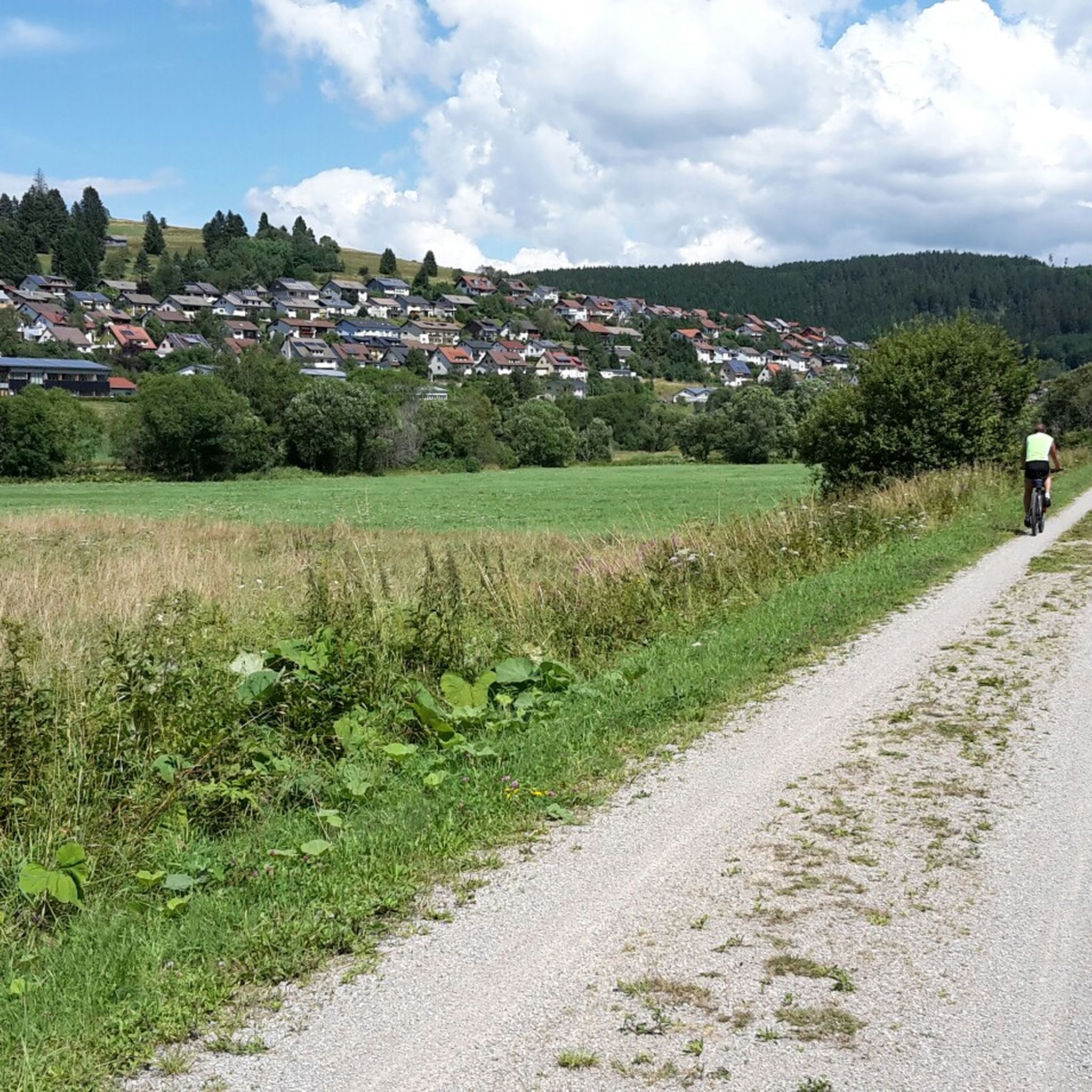
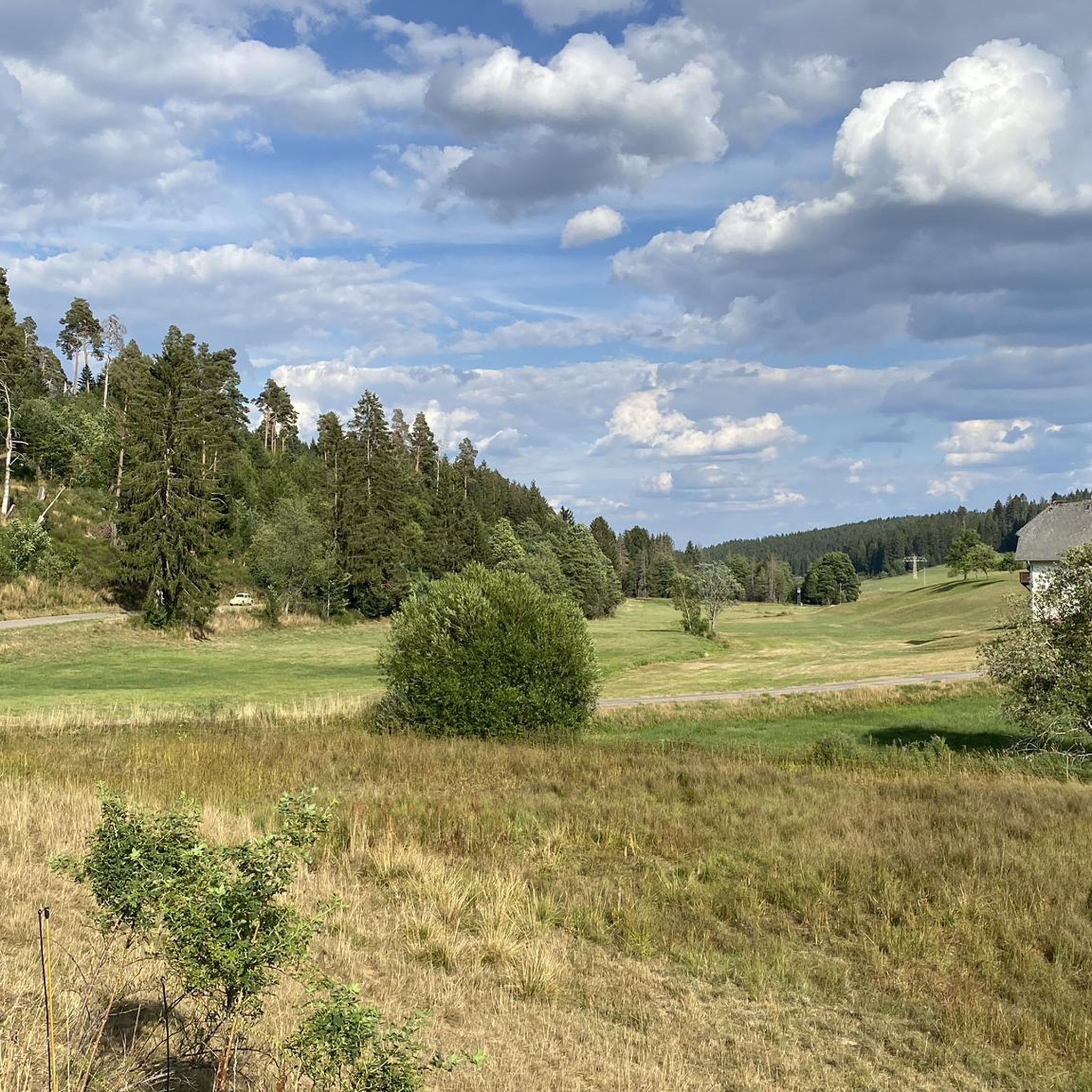
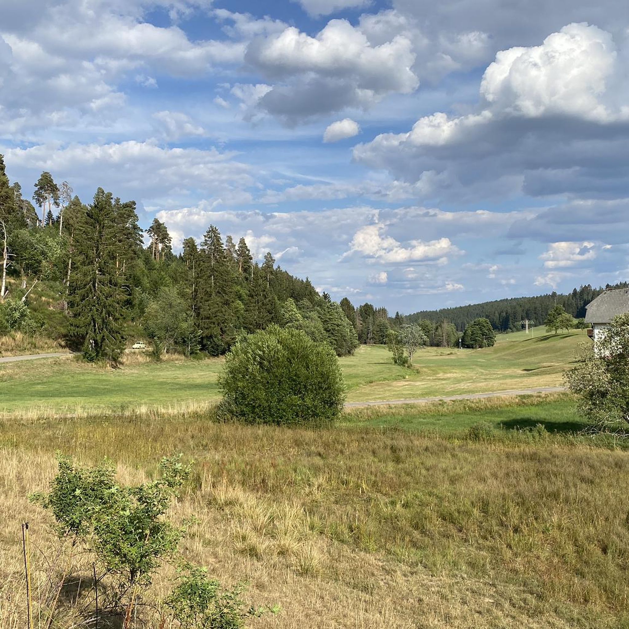
Hiking around Unterkirnach offers diverse landscapes within the Southern Black Forest Nature Park. The region is characterized by enchanting Black Forest woods, scenic valleys, and the Kirnach stream which forms the idyllic Talsee. Numerous springs and a wild plant park further define the natural environment, providing varied terrain for outdoor activities.
Best hiking trails around Unterkirnach
- The most popular hiking route is Uhustein – Stone Boar loop from Groppertal, a 4.7 miles (7.6 km) trail that takes 2 hours 2 minutes to complete. This moderate route explores forest passages and offers diverse viewpoints.
- Another top favourite among local hikers is Stone Boar – Uhustein loop from Steinbruch, a moderate 9.3 miles (15.0 km) path. This trail features varied forest sections and leads to prominent rock formations.
- Local hikers also love the Breitbrunnen Inn – View of Maria Tann loop from Unterkirnach, an 11.4 miles (18.3 km) trail leading through Black Forest valleys and woods, often completed in about 5 hours 1 minute.
- Hiking around Unterkirnach is defined by dense Black Forest woods, tranquil valleys, and clear streams. The network offers options for different ability levels, from easy strolls to challenging treks.
- The routes in Unterkirnach are highly rated by the komoot community with an average score of 4.5 stars from more than 3,900 reviews. More than 17,000 hikers have used komoot to explore Unterkirnach's varied terrain.
Last updated: July 5, 2026
4.7
(23)
107
hikers
7.57km
02:03
100m
100m
Moderate hike. Good fitness required. Easily-accessible paths. Suitable for all skill levels.
4.7
(14)
40
hikers
15.0km
04:09
250m
260m
Moderate hike. Good fitness required. Mostly accessible paths. Sure-footedness required.

Sign up for free
4.5
(6)
23
hikers
18.2km
05:00
290m
290m
Moderate hike. Good fitness required. Easily-accessible paths. Suitable for all skill levels.
5.0
(3)
11
hikers
4.76km
01:19
70m
70m
Moderate hike. Great for any fitness level. Mostly accessible paths. Sure-footedness required.
4.8
(4)
13
hikers
5.00km
01:24
100m
90m
Easy hike. Great for any fitness level. Easily-accessible paths. Suitable for all skill levels.
Get access to more routes and recommendations from other explorers.
Sign up for free
Already have an account?
Our route recommendations are based on thousands of hikes, rides, and runs completed by other people on komoot.
Start today with a free account
Your next adventure awaits.
Login or Signup
Tips from the Community

Refreshing ice-cold water.
3
0

The playground is located at the Salvest game enclosure. Ideal for children to play. Ideal for adults for a little break.
0
0


It's recommended to download the route offline to your phone beforehand, or to have an analog copy with you in case you want to double-check if you've taken a wrong turn. We had no cell reception for long stretches along the way.
0
0
Beautiful mossy forest paths, especially in the first half of the trail through the Germanswald forest. The route is very well signposted for the most part, but in some places, in my opinion, the signage is not ideally placed, so it's easy to take a wrong turn.
1
0

The sow used to stand a little further ahead, where the path goes down to the road
1
0

Is 11.3 km long an easy round trip
8
0

A wonderful route, wonderful to walk. Now in winter, the path turns into small streams in places. You then have to walk around the ice floes 🥶
1
0
Frequently Asked Questions
How many hiking trails are available around Unterkirnach?
There are over 15 hiking routes around Unterkirnach, catering to various fitness levels. You'll find a good mix of easy strolls, moderate treks, and a few more challenging options to explore the diverse landscapes of the Southern Black Forest.
Are there any easy hiking trails suitable for beginners or families in Unterkirnach?
Yes, Unterkirnach offers several easy trails. For a pleasant walk, consider the Breitbrunnen Inn – Breitbrunnen Inn loop from Steinbruch, which is about 5 km long and takes around 1 hour 23 minutes. These trails are generally well-suited for those looking for a relaxed outdoor experience.
What kind of natural landscapes can I expect to see on a hike in Unterkirnach?
Hiking around Unterkirnach immerses you in the enchanting Black Forest woods and scenic valleys. You'll encounter pristine streams, the idyllic Talsee (lake) formed by the Kirnach stream, and the unique Wildpflanzenpark, showcasing the diverse local flora. The region is also known as a 'Spring Water Village' due to its numerous natural springs.
Are there any circular hiking routes in Unterkirnach?
Many of the trails around Unterkirnach are designed as circular routes, allowing you to start and end at the same point. A popular option is the Uhustein – Stone Boar loop from Groppertal, which offers varied forest passages and diverse viewpoints over the Southern Black Forest.
What are some notable landmarks or viewpoints along the hiking trails?
Several trails lead to interesting landmarks and offer great views. The Uhustein – View of the Black Forest loop from Mönchweiler provides scenic vistas. You might also encounter the Uhufelsen (Uhustein) and the Kirneck ruin. For panoramic views, the Stoecklewald Tower is a significant highlight in the wider area.
Can I find places to eat or rest along the hiking routes?
Yes, some routes pass by traditional Black Forest inns and restaurants. For example, the Breitbrunnen Inn – View of Maria Tann loop from Unterkirnach starts near the Breitbrunnen Inn, offering a place to refresh. The Stöcklewald Tower also features a restaurant.
What do other hikers enjoy most about hiking in Unterkirnach?
The komoot community highly rates the hiking experience in Unterkirnach, with an average score of 4.5 stars from over 3,900 reviews. Hikers often praise the quiet, dense Black Forest woods, the tranquil valleys, and the well-maintained network of trails that cater to different abilities.
Are there any trails that feature water elements like waterfalls or lakes?
While Unterkirnach is known for its numerous springs and the idyllic Talsee (lake), it doesn't feature large waterfalls directly on its trails. However, the Kirnach stream and its dammed lake provide peaceful water settings. For Germany's highest waterfall, the Triberg Waterfalls are a notable attraction within reach of the region.
Is Unterkirnach a good destination for wildlife spotting?
The Unterkirnach Forest Reserve, with its lush sanctuary and pristine streams, is a popular spot for wildlife watching. Some trails, like those leading to the Salvest wildlife enclosure, offer opportunities to observe local fauna in their natural habitat.
What is the best time of year to go hiking in Unterkirnach?
Unterkirnach is a beautiful hiking destination throughout much of the year. Spring brings blooming flora, summer offers lush green forests, and autumn transforms the landscape with vibrant colors. While winter hikes are possible, it's always advisable to check local conditions for snow and ice, especially on higher trails.
Are there any longer, more challenging hikes for experienced hikers?
Yes, for those seeking a more demanding experience, the Breitbrunnen Inn – View of Maria Tann loop from Unterkirnach is an excellent choice. This difficult 18.3 km trail leads through Black Forest valleys and woods, typically taking around 5 hours to complete.
How accessible are the hiking trails by public transport?
Unterkirnach is recognized for its commitment to tourism, and as a 'hiking village,' efforts are made to ensure accessibility. While specific public transport connections to every trailhead vary, the village itself is generally well-connected, making it a good base for exploring the surrounding trails. It's recommended to check local bus schedules for specific route access.
Most popular routes around Unterkirnach
Most popular attractions around Unterkirnach

Get inspired with the komoot mobile app


Explore more
Browse the best Hikes in other regions.
