The best running trails around Sankt Thomas am Blasenstein
4.4
(76)
1,487
runners
166
runs
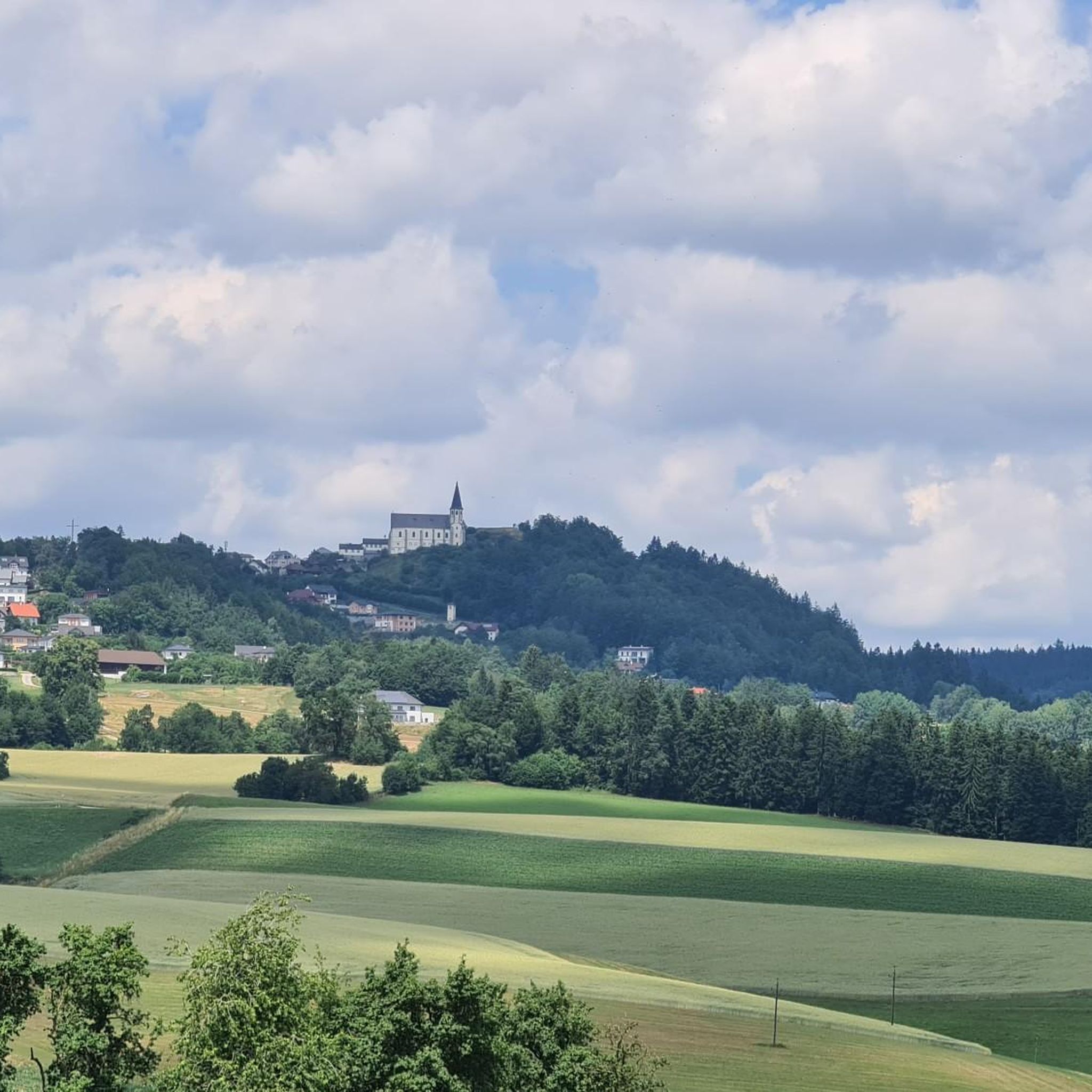
Jogging routes Sankt Thomas am Blasenstein offer varied terrain within the scenic Mühlviertel region of Upper Austria. The area features hilly landscapes, ancient granite formations, and a mix of dense forests and open agricultural land. Runners can expect diverse elevation changes and picturesque views, including expansive vistas over the Danube valley.
Best jogging routes around Sankt Thomas am Blasenstein
- The most popular jogging route is Gypsy Wall Rock Formation loop from St. Thomas am Blasenstein, a 7.8 miles (12.5…
Last updated: May 20, 2026
73
runners
12.5km
01:33
370m
370m
Hard run. Very good fitness required. Mostly paved surfaces. Suitable for all skill levels.
4.3
(3)
40
runners
5.95km
00:43
130m
130m
Moderate run. Good fitness required. Mostly paved surfaces. Suitable for all skill levels.

Sign up for free
3.3
(3)
13
runners
5.33km
00:36
100m
100m
Moderate run. Good fitness required. Mostly paved surfaces. Suitable for all skill levels.
11
runners
7.60km
00:56
220m
220m
Moderate run. Good fitness required. Mostly paved surfaces. Suitable for all skill levels.
11
runners
9.78km
01:03
180m
180m
Moderate run. Good fitness required. Mostly paved surfaces. Suitable for all skill levels.
Get access to more routes and recommendations from other explorers.
Sign up for free
Already have an account?
Our route recommendations are based on thousands of hikes, rides, and runs completed by other people on komoot.
Start today with a free account
Your next adventure awaits.
Login or Signup
Popular around Sankt Thomas am Blasenstein
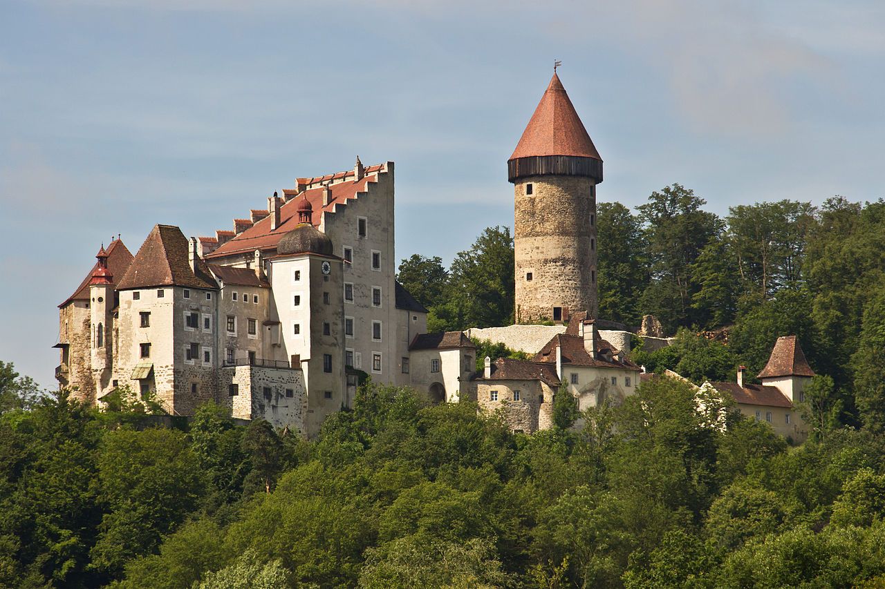
Castles & Palaces Trail – Discover the mystical Mühlviertel in Austria
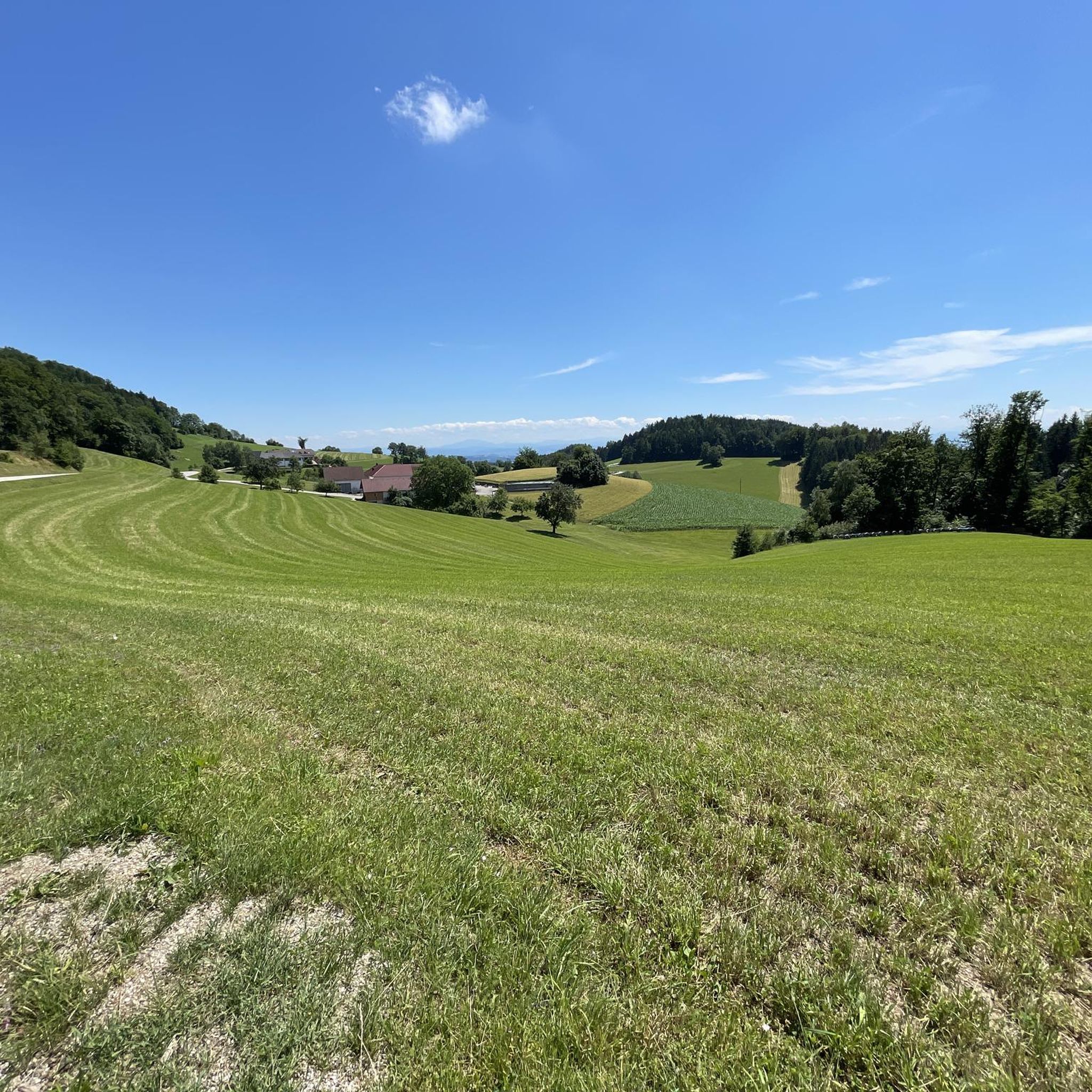
Hiking around Sankt Thomas am Blasenstein
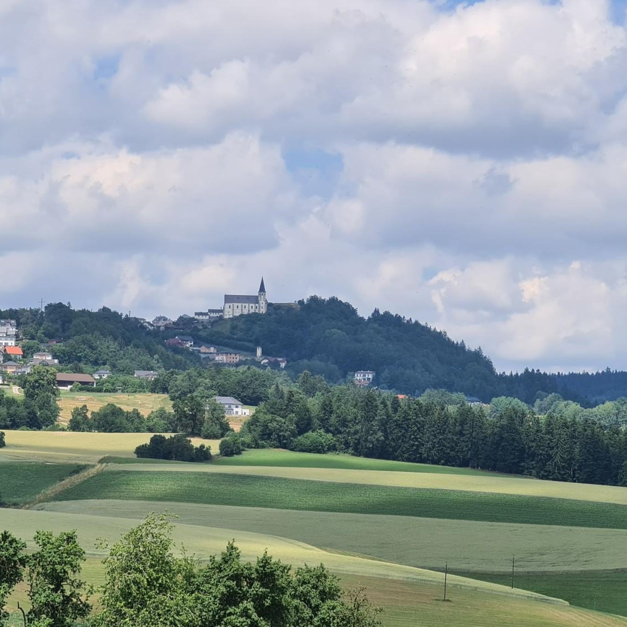
Cycling around Sankt Thomas am Blasenstein
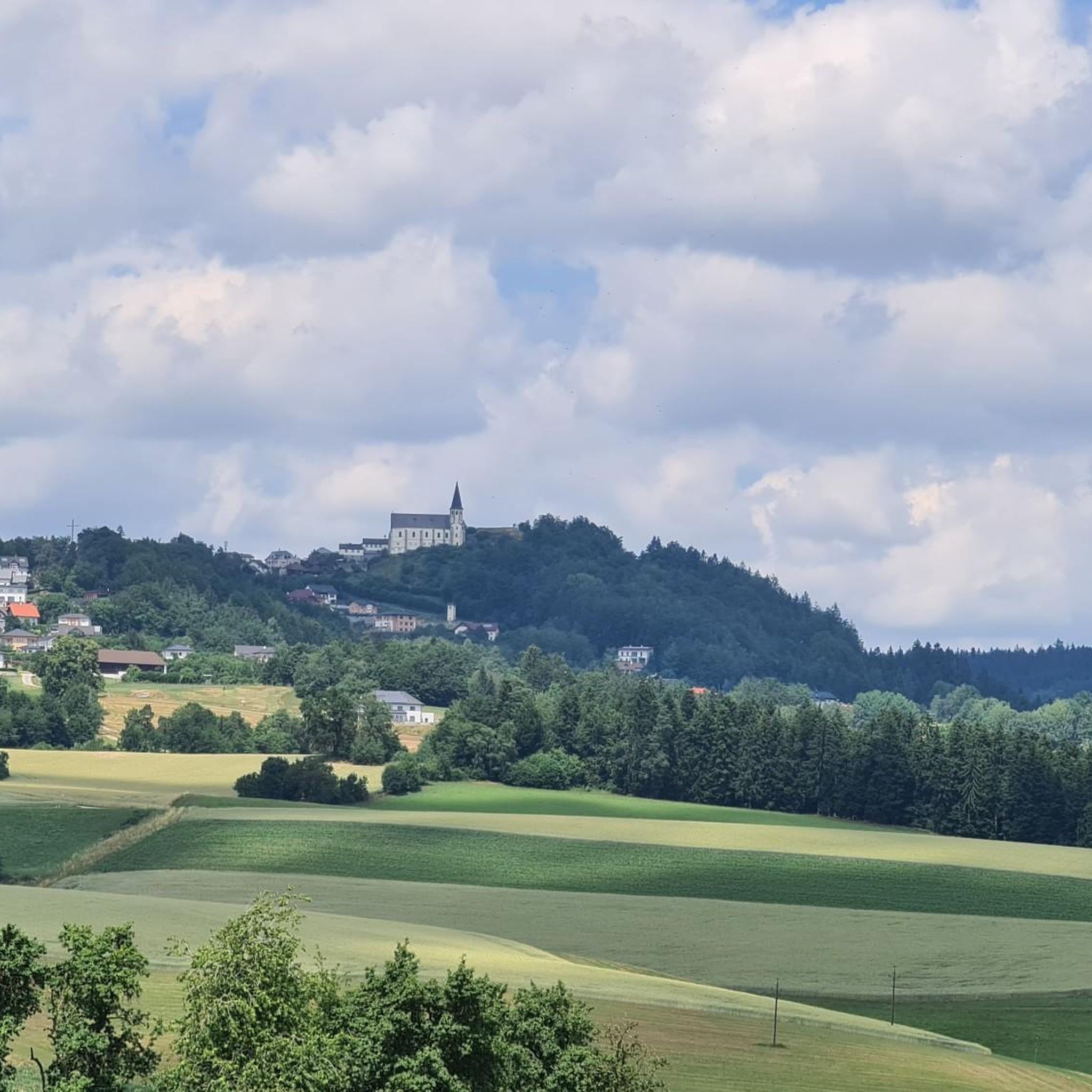
MTB Trails around Sankt Thomas am Blasenstein
Road Cycling Routes around Sankt Thomas am Blasenstein

Gravel biking around Sankt Thomas am Blasenstein
Other adventures around Sankt Thomas am Blasenstein

Tips from the Community

A good level of fitness and sturdy footwear are essential. Plenty of drinks and a snack are also required. Pay attention to the trail. No markings.
0
0

The planned 4 stages ended up being three day stages.😅 The energy and the beautiful impressions along the way were simply fantastic. We were also able to "walk through" and admire the fascinating and at the same time frighteningly impressive flood in the Naarntal.😍🔝 Along the Johannesweg⚜️ we kept getting into conversation with very friendly and helpful people and the children still "greet" here.🤩
1
0

Nice hosts, nice rooms, good food!
0
0

This little place is simply wonderful. For relaxing or for sports... Great area, a nature park, a swimming lake.....
4
0

impressive rock formation with a small cave
0
0

Beautiful place with excellent gastronomy, ideal for a break or as a starting point for numerous hiking or bike tours!
0
0

Cozy inn with home-style cooking. Worth a refreshment in between.
1
0

Even the Servus weather report couldn't get past this rock formation.
0
0
Frequently Asked Questions
How many running routes are available in Sankt Thomas am Blasenstein?
Sankt Thomas am Blasenstein offers a wide selection of running routes, with over 160 trails to explore. These range from easy jogs to more challenging runs, catering to various fitness levels.
What are the general characteristics of the running terrain in Sankt Thomas am Blasenstein?
The region is characterized by its hilly terrain and the historic 'granite land' of the Lower Mühlviertel, providing varied elevation changes. You'll find a mix of shady forest paths (approximately 43% forested) and open meadow routes (52% agricultural land), with picturesque views over the Danube valley and towards the distant Alps on clear days.
What do other runners think about the trails in Sankt Thomas am Blasenstein?
The running routes in Sankt Thomas am Blasenstein are highly rated by the komoot community, with an average score of 4.4 stars from over 70 reviews. More than 1,400 runners have used komoot to explore the varied terrain, often praising the diverse landscapes and well-maintained paths.
Are there running routes for all fitness levels in Sankt Thomas am Blasenstein?
Yes, the area offers a good variety of routes for different abilities. You'll find 12 easy routes for a relaxed jog, 131 moderate trails, and 24 difficult routes for those seeking a more challenging run with significant elevation gain.
Are there any unique natural landmarks or cultural sites to see while running in Sankt Thomas am Blasenstein?
Absolutely! The region is famous for its distinctive granite formations. You can run past sites like the Bärenlucke Rock Formation, the ancient cult site of the Zigeunermauer (Gypsy Wall), or the unique 'Bucklwehluck'n' (Durchkriechstein). The Gypsy Wall Rock Formation loop from St. Thomas am Blasenstein is a great option to experience some of these.
Can I combine my run with visiting historical sites or viewpoints?
Yes, many routes allow you to incorporate historical exploration or enjoy panoramic views. You can visit the ruins of Klingenberg and Saxenegg, or enjoy breathtaking vistas from the Gobelwarte Observation Tower. The Klingenberg Castle Ruins are a notable highlight.
Are there any circular running routes available?
Yes, many of the running routes in Sankt Thomas am Blasenstein are circular, offering convenient starting and ending points. For example, the Bärenlucken loop from St. Thomas am Blasenstein is a moderate 6 km circular path through forested areas.
Are there family-friendly jogging trails in the area?
While the region is known for its hilly terrain, there are easier routes suitable for families. Look for trails categorized as 'easy' in the komoot app, which typically have less elevation gain and shorter distances, making them more accessible for all ages.
What kind of elevation changes can I expect on jogging routes here?
Sankt Thomas am Blasenstein's terrain is quite hilly, being part of the Mühlviertel region. You can expect varied elevation changes, from gentle inclines on easier paths to significant climbs on more difficult routes. The highest point in the municipal area is the Steirederberg at 765 meters, offering rewarding challenges for trail runners.
Are there any running events or dedicated trails in Sankt Thomas am Blasenstein?
Yes, the municipality actively promotes outdoor activities, including running. The area hosts events like the 'Blasenstein Trail,' which offers various distances, including a 12 km route with approximately 450 meters of elevation gain and a 5 km 'Fun-Trail,' showcasing the region's suitability for trail running.
Can I find routes that lead through forests or open meadows?
You'll find a great mix of both. Approximately 43.1% of the area is forested, providing plenty of shady forest paths, while 52.1% is agricultural land, offering open meadow routes with expansive views. This diversity ensures a varied and engaging running experience.
Are there any routes that pass by water features?
While not featuring large rivers or lakes directly on most running paths, some routes may lead you past smaller streams or the ancient Augenbründl Healing Spring, a tranquil spot adorned with a stone shrine.
Most popular routes around Sankt Thomas am Blasenstein
Most popular attractions around Sankt Thomas am Blasenstein

Get inspired with the komoot mobile app


Explore more
Browse the best Running Trails & Routes in other regions.
