The best hikes from bus stations around Sankt Thomas am Blasenstein
4.6
(3045)
17,363
hikers
18
hikes
Hiking around Sankt Thomas am Blasenstein, located in Upper Austria's Mühlviertel region, features a landscape characterized by hilly granite terrain, forests, and meadows. This area offers varied topography for bus station hiking trails, with elevated points providing views over the Danube valley. The region is known for its natural rock formations and cultural sites integrated into the hiking network.
Best bus station hiking trails around Sankt Thomas am Blasenstein
- The most popular bus station hiking route is Bärenlucke Rock Formation…
Last updated: May 15, 2026
4.9
(43)
204
hikers
Moderate hike. Good fitness required. Easily-accessible paths. Suitable for all skill levels.
4.7
(10)
48
hikers
Easy hike. Great for any fitness level. Easily-accessible paths. Suitable for all skill levels.

Sign up for free
4.8
(8)
45
hikers
Moderate hike. Good fitness required. Easily-accessible paths. Suitable for all skill levels.
5.0
(3)
27
hikers
Moderate hike. Good fitness required. Easily-accessible paths. Suitable for all skill levels.
5.0
(4)
16
hikers
11.4km
03:22
340m
350m
Moderate hike. Good fitness required. Easily-accessible paths. Suitable for all skill levels.
Get access to more routes and recommendations from other explorers.
Sign up for free
Already have an account?
Our route recommendations are based on thousands of hikes, rides, and runs completed by other people on komoot.
Start today with a free account
Your next adventure awaits.
Login or Signup
Popular around Sankt Thomas am Blasenstein
Other adventures around Sankt Thomas am Blasenstein

Tips from the Community

A cloister above the church leads into the crypt of St. Thomas am Blasenstein. Since 1800 (first mentioned in writing in 1830), a mummy has been located there, known to many as the "luft'gselchter Pfarrer" (air-smoked pastor).
0
0
"Bucklwehluck`n": If you slip through the Luck`n from east to west, your back pain is over – so says wise folk wisdom.
0
0

Pay attention here and follow the road to the left. Stoakraftweg in the opposite direction
0
0

A guesthouse, absolutely recommendable!!
1
0

very beautiful, definitely go up to see the air-dwelling pfora and the bugiwehluckn!
0
0

impressive rock formation with a small cave
0
0
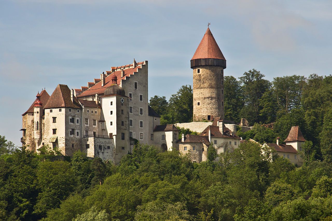
The castle can only be visited with a guided tour. It is still freely accessible outside.
1
0

Magnificent rock formations - there is also seating here to marvel and pause.
0
0
Frequently Asked Questions
How many bus station hiking trails are available in Sankt Thomas am Blasenstein?
There are 18 hiking trails accessible directly from bus stations in Sankt Thomas am Blasenstein. These routes offer a convenient way to explore the picturesque Mühlviertel region without needing a car.
What kind of terrain can I expect on hikes around Sankt Thomas am Blasenstein?
The region is characterized by a hilly granite terrain, part of the eastern Mühlviertler Granitmassiv. You can expect diverse landscapes, including forests, meadows, and rugged rock formations. Trails often feature moderate ascents and descents, providing varied hiking experiences.
Are there easy hiking options accessible from the bus station?
Yes, there are 9 easy hiking routes available directly from bus stations. For example, the Bärenlucke Rock Formation – Phallic Stone loop from St. Thomas am Blasenstein is an easy option, covering about 6.4 km with moderate elevation changes, perfect for a relaxed outing.
What interesting natural features or landmarks can I see on these bus station hikes?
Many trails lead to unique natural and historical sites. You can encounter fascinating rock formations like the Bucklwehluck'n (Durchkriechstein), which is steeped in local folklore, or the ancient Phallusstein. The area also features the 'Hoanl' natural stone caves. For panoramic views, some routes may offer glimpses towards the Gobelwarte observation tower or the Oberer Burgstall viewpoint.
Are there any circular hiking routes available from the bus station?
Yes, many of the bus station accessible trails are circular routes, allowing you to start and end your hike at the same point. Examples include the Bärenlucke Rock Formation – Gypsy Wall Rock Formation loop from St. Thomas am Blasenstein or the Augenbründl Healing Spring – Gypsy Wall Rock Formation loop from St. Thomas am Blasenstein.
What do other hikers enjoy most about the trails in Sankt Thomas am Blasenstein?
The area is highly rated by the komoot community, with an average score of 4.6 stars. Reviewers often praise the unique rock formations, the tranquil forest paths, and the stunning panoramic views over the Danube valley from elevated points. The convenience of accessing trails directly from bus stations is also frequently highlighted.
Are the bus station hiking trails suitable for families?
Yes, with 9 easy routes available, many trails are suitable for families. The diverse landscape and unique natural attractions like the Bucklwehluck'n or the 'Hoanl' natural stone caves can make for an engaging experience for children. Consider shorter, easy loops for family outings.
Can I bring my dog on these hikes?
Generally, dogs are welcome on hiking trails in the Mühlviertel region. However, it's always advisable to keep your dog on a leash, especially in nature protection areas, near livestock, or in populated sections. Please ensure you carry waste bags and respect local regulations.
Are there any viewpoints or observation towers accessible from bus station hikes?
While the Gobelwarte Observation Tower itself might require a dedicated hike, many trails offer excellent viewpoints over the Danube valley and the surrounding Mühlviertel landscape. The Oberer Burgstall, a former castle site, also provides a popular spot for reflection and views.
What is the best time of year to hike from bus stations in Sankt Thomas am Blasenstein?
The region is beautiful year-round. Spring offers lush greenery and blooming wildflowers, while autumn provides vibrant foliage. Summer is ideal for longer hikes, and even winter can be magical with snow-covered landscapes, though some paths might be slippery. Always check local weather conditions before heading out.
Are there any places to eat or refresh near the bus station trails?
Yes, some routes pass by or lead close to local eateries. For instance, the Pechölstein Carved Rock – Gasthaus Ahorner loop from St. Thomas am Blasenstein includes a stop at Gasthaus Ahorner. The village of Sankt Thomas am Blasenstein itself also offers options for refreshments.
What are some notable attractions near Sankt Thomas am Blasenstein that I could combine with a hike?
Beyond the immediate trails, the region boasts several highlights. You could explore the Stillensteinklamm or the Klamschlucht Gorge for stunning natural beauty. For historical context, the mummified 'Luftg'selchter Pfarrer' in the Gothic pilgrimage church crypt is a unique sight. The area is also known for its granite formations, including the Weltstein.
Most popular routes around Sankt Thomas am Blasenstein
Most popular attractions around Sankt Thomas am Blasenstein

Get inspired with the komoot mobile app


Explore more
Browse the best Hikes in other regions.
