The best cycling routes around Sankt Thomas am Blasenstein
4.6
(3601)
20,370
riders
420
rides
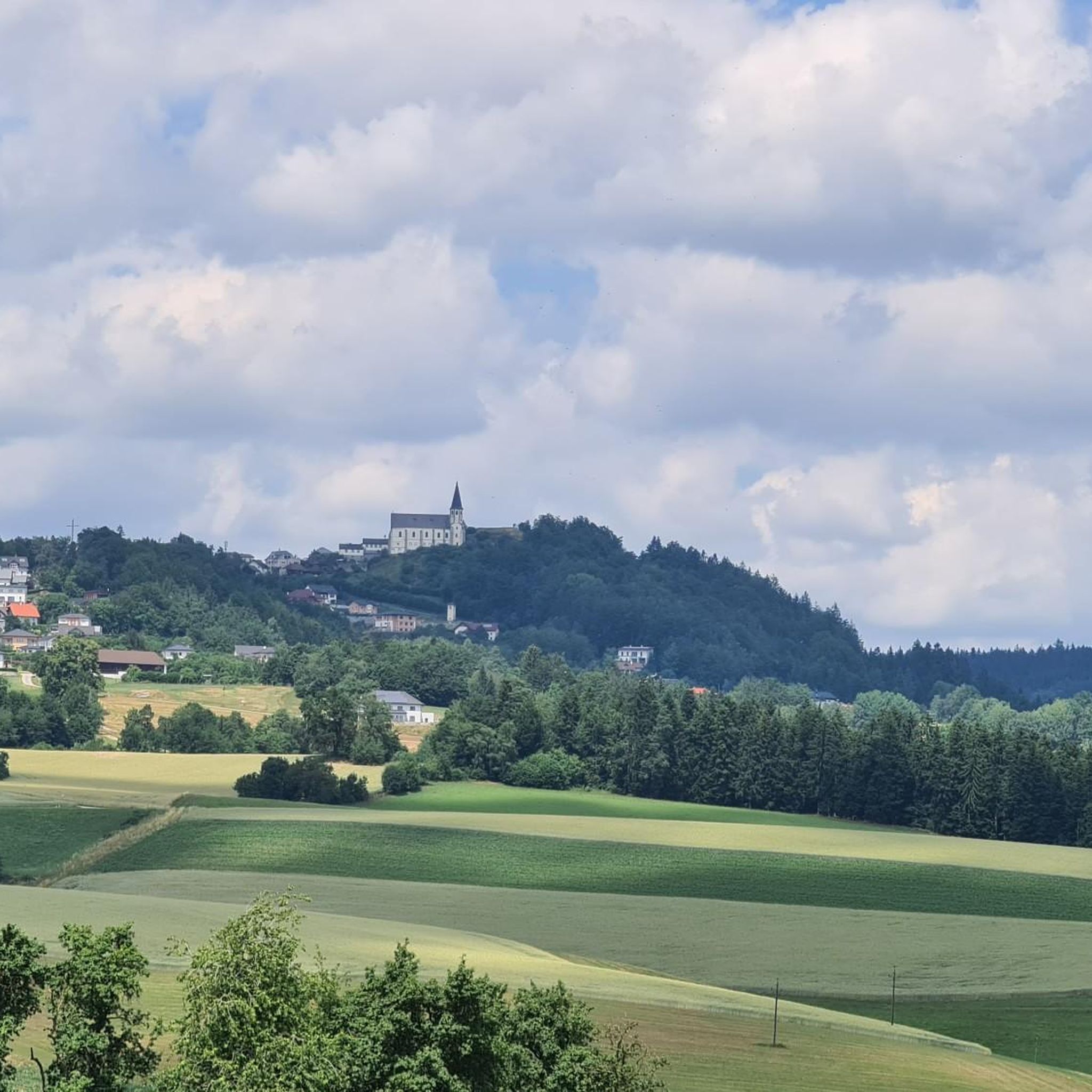
Touring cycling around Sankt Thomas am Blasenstein offers a diverse landscape characterized by the undulating hills of the Mühlviertel and proximity to the Danube River. The region features a mix of dense forests, open fields, and unique rock formations, providing varied terrain for cyclists. Routes range from challenging climbs through hilly areas to more relaxed paths along river valleys. This area combines natural beauty with historical sites, making it suitable for different cycling preferences.
Best touring cycling routes around Sankt Thomas am Blasenstein
- The most popular touring cycling route is Rechberg Bathing Lake – Ruttenstein Shelter loop from Pierbach, a 20.9 miles (33.6 km) trail that takes about 3 hours to complete. This difficult route features significant elevation gain and passes by historical ruins.
- Another top favourite among local touring cyclists is Rechberg Bathing Lake – The Sunken Excavator loop from Innernstein Käfermühle, a moderate 14.8 miles (23.9 km) path. This route offers a mix of forest paths and open landscapes, often completed in around 2 hours.
- Local touring cyclists also love the Kammerer Chapel Silberberg – View of Königswiesen loop from Pierbach, a 47.8 miles (77.0 km) trail leading through the hilly Mühlviertel landscape, often completed in about 6 hours 30 minutes.
- Touring cycling around Sankt Thomas am Blasenstein is defined by hilly terrain, river valleys, and diverse forests. The network offers options for various ability levels, from moderate paths to more challenging routes with significant climbs.
- The routes in Sankt Thomas am Blasenstein are highly rated by the komoot community with an average score of 4.6 stars from over 3000 reviews. More than 18000 touring cyclists have used komoot to explore Sankt Thomas am Blasenstein's varied terrain.
Last updated: October 5, 2026
4.4
(12)
75
riders
33.6km
02:57
880m
880m
Hard bike ride. Very good fitness required. Mostly paved surfaces. Suitable for all skill levels.
6
riders
77.0km
06:32
1,970m
1,970m
Hard bike ride. Very good fitness required. You may need to push your bike for some segments of this route.

4.0
(3)
12
riders
22.7km
01:39
500m
500m
Hard bike ride. Very good fitness required. Mostly paved surfaces. Suitable for all skill levels.
5.0
(1)
20
riders
Moderate bike ride. Good fitness required. Mostly paved surfaces. Suitable for all skill levels.
5.0
(3)
9
riders
51.7km
03:40
1,000m
1,000m
Hard bike ride. Very good fitness required. Mostly paved surfaces. Suitable for all skill levels.
Get access to more routes and recommendations from other explorers.
Already have an account?
Our route recommendations are based on thousands of hikes, rides, and runs completed by other people on komoot.
Start today with a free account
Your next adventure awaits.
Popular around Sankt Thomas am Blasenstein
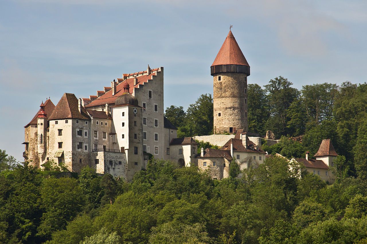
Castles & Palaces Trail – Discover the mystical Mühlviertel in Austria
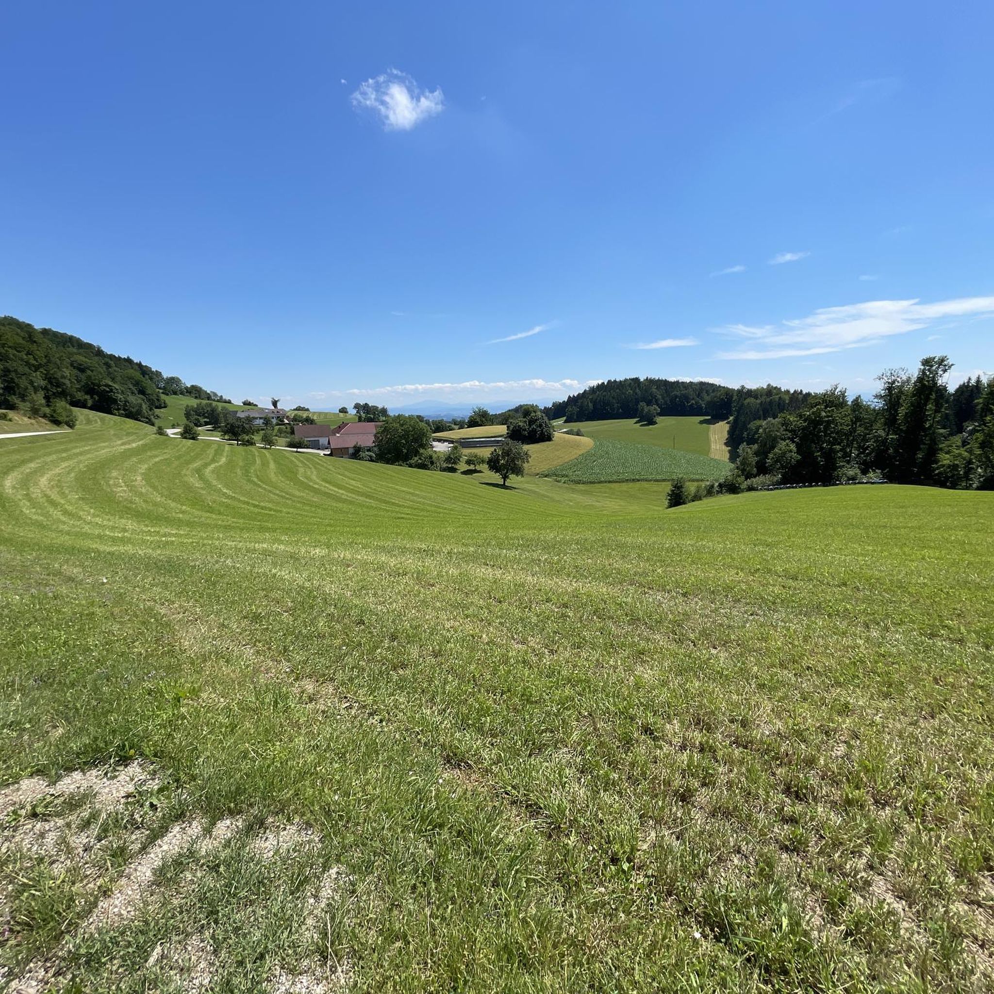
Hiking around Sankt Thomas am Blasenstein
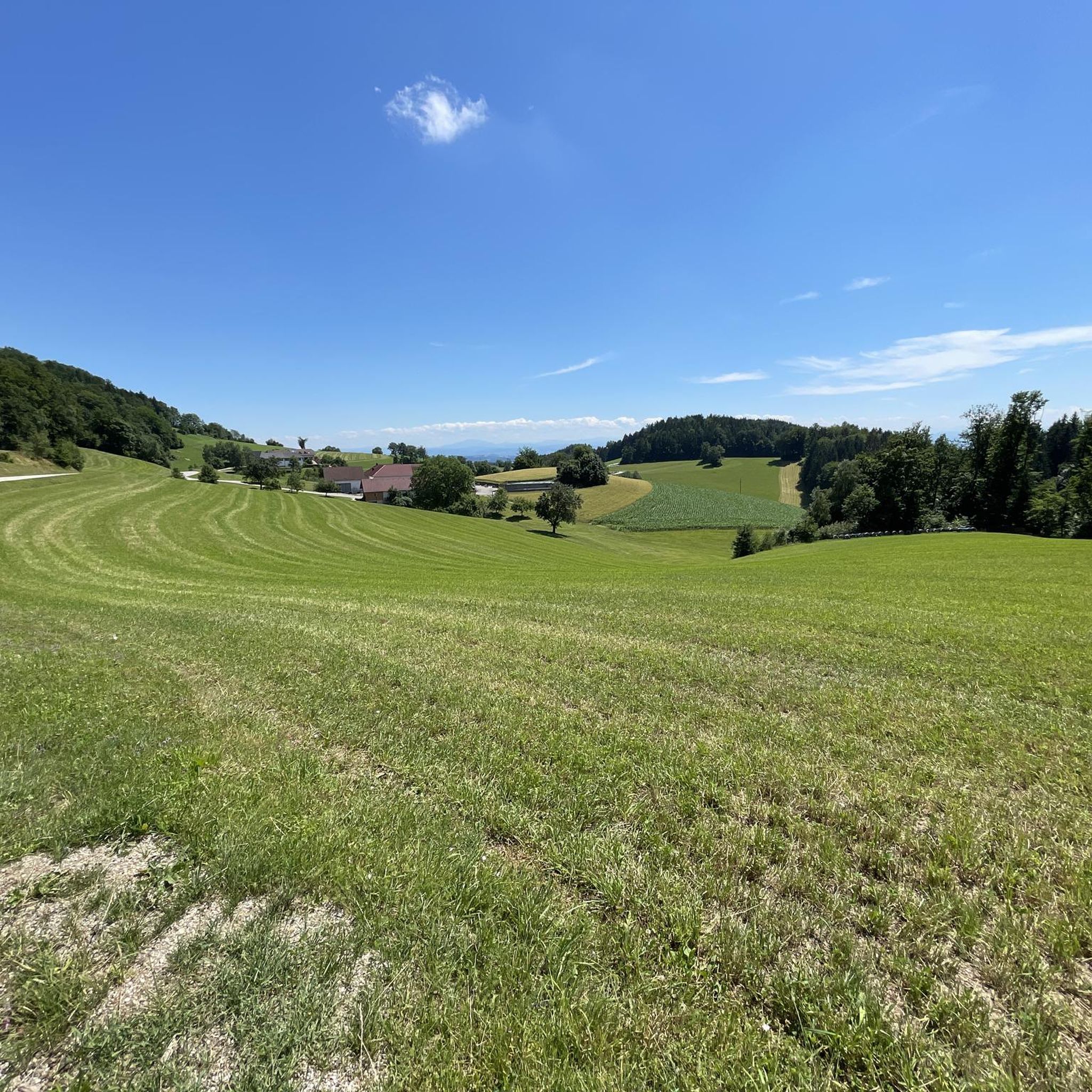
Running Trails around Sankt Thomas am Blasenstein
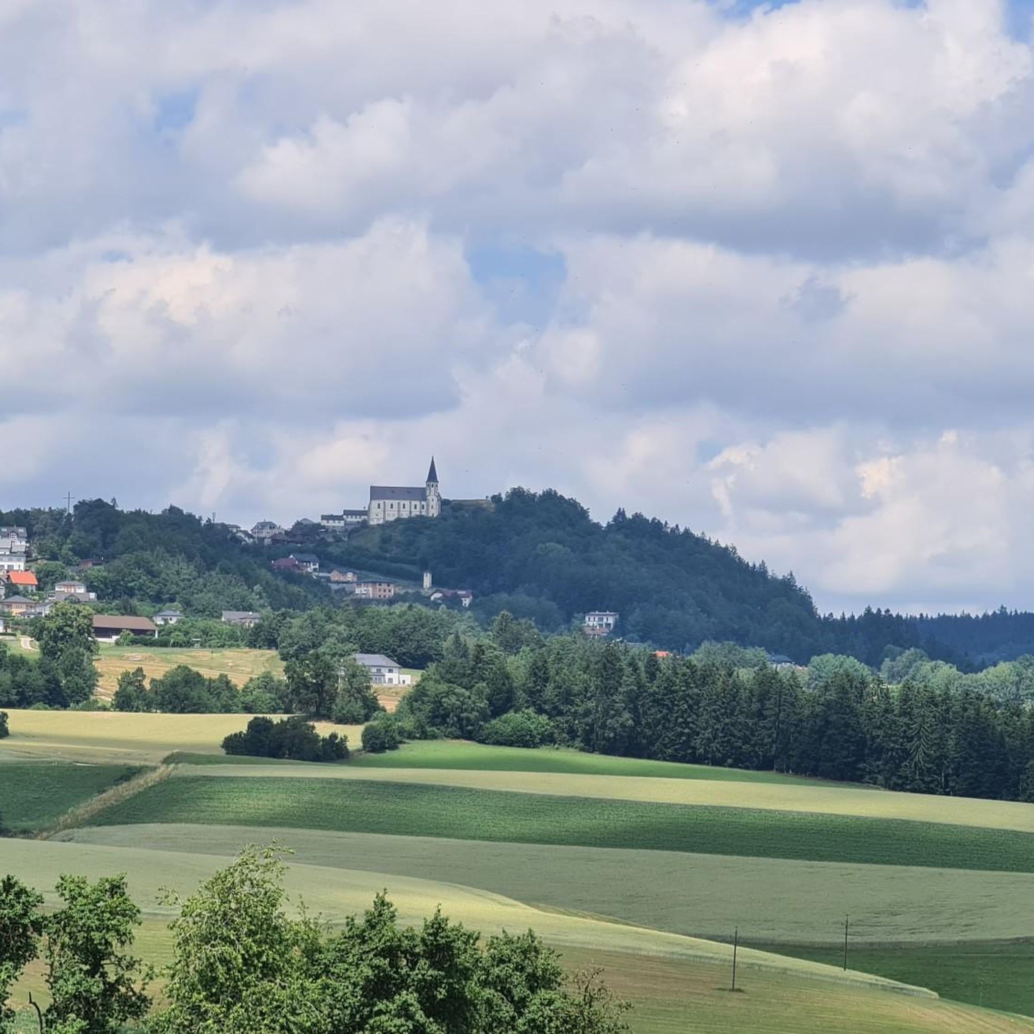
MTB Trails around Sankt Thomas am Blasenstein
Road Cycling Routes around Sankt Thomas am Blasenstein

Gravel biking around Sankt Thomas am Blasenstein
Other adventures around Sankt Thomas am Blasenstein

Tips from the Community

The 1st station of the Johannesweg is also the best-known image of the pilgrimage trail. Access by MTB/bicycle is ideally from Hinterhütten (asphalt road) or from below via the gravel path from the valley of the small Naarn; it is officially forbidden on the hiking trail, but you can still find the remains of a Kugelmühle there.
0
0

Quiet valley: asphalt, little traffic; A truly beautiful section with mostly very good road surfaces and a lovely atmosphere
0
0

The Bründl Chapel near St. Leonhard was built in 1728 and is now one of the municipality's listed buildings. Located on the old road to Ennsedt, it exudes a special sense of tranquility with its simple Baroque architecture, dome-like ceiling, and statue of the praying Virgin Mary. According to tradition, the spring water that springs here has healing powers—especially for the eyes and ears—which is why the chapel remains a popular place of contemplation to this day. A visit can be wonderfully combined with a bike ride, for example, on the Haiderberg panoramic view trail, which leads to the highest point in the municipality. From there, a wide view of the hilly landscape of the Mühlviertel opens up before you return to the chapel and take in the tranquil setting at the Bründl.
0
0
Gr. Naarntal–St. Thomas: Asphalt, light traffic; Great road from the Naarntal to the lower part of St. Thomas
0
0
From the chapel you have a direct view of the granite dome on the Haiderberg opposite
1
0


Beautiful place with some guesthouses, campsite, swimming lake, recommended for a short break with many highlights in the surrounding area
0
0

You should have seen it before!! and you almost walk right past it
0
0
Frequently Asked Questions
How many touring cycling routes are available around Sankt Thomas am Blasenstein?
There are over 440 touring cycling routes in the Sankt Thomas am Blasenstein area, offering a wide range of options for different preferences and fitness levels. These routes traverse the diverse landscape of the Mühlviertel, from challenging hilly sections to more relaxed paths along river valleys.
What kind of terrain can I expect when touring cycling in Sankt Thomas am Blasenstein?
The region is characterized by the undulating hills of the Mühlviertel, offering both challenging climbs and scenic descents. You'll encounter a mix of dense forests, open fields, and unique rock formations. Some routes also lead along the banks of the Danube River, providing flatter, more relaxed sections with beautiful views.
Are there any easy touring cycling routes suitable for beginners or families?
Yes, Sankt Thomas am Blasenstein offers around 40 easy touring cycling routes. These paths are generally less strenuous, often paved, and suitable for those looking for a relaxed ride or cycling with family. While specific family-friendly routes aren't detailed, the easier options provide a good starting point.
What are some challenging touring cycling routes in the region?
For experienced touring cyclists seeking a challenge, there are over 250 difficult routes. An example is the Rechberg Bathing Lake – Ruttenstein Shelter loop from Pierbach, which is 33.6 km long with significant elevation gain and passes by historical ruins. Another demanding option is the Kammerer Chapel Silberberg – View of Königswiesen loop from Pierbach, a 77 km trail through the hilly Mühlviertel landscape.
Can I find long-distance touring cycling routes in Sankt Thomas am Blasenstein?
Yes, the region offers several longer routes for those interested in extended touring. The Kammerer Chapel Silberberg – View of Königswiesen loop from Pierbach, for instance, spans 77 km and takes approximately 6 hours 30 minutes to complete. Some routes also connect to longer regional paths like the Danube Cycle Path, offering multi-day touring possibilities.
Are there circular touring cycling routes available?
Many of the touring cycling routes in Sankt Thomas am Blasenstein are designed as loops, allowing you to start and end at the same point. Examples include the Rechberg Bathing Lake – The Sunken Excavator loop from Innernstein Käfermühle, a moderate 23.9 km route, and the more challenging Naarntal Water Mill – View of Bad Kreuzen loop from Pierbach, which covers 52.4 km.
What historical sites or natural landmarks can I see along the touring cycling routes?
The routes often pass by fascinating historical and natural landmarks. You can explore historical ruins like Klingenberg Castle Ruins or Windhaag Castle Ruins. Natural features include unique rock formations such as the "Bucklwehluck'n" and the "Zigeunermauer." The Gothic pilgrimage church of St. Thomas am Blasenstein is also a prominent landmark visible from many points.
Are there any lakes or bathing opportunities along the cycling routes?
Yes, several routes pass by beautiful lakes where you might find opportunities to relax. The Rechberg Bathing Lake is a notable spot, and routes like the Rechberg Bathing Lake – Raabmühle loop from Pierbach incorporate it into the tour. Other lakes in the vicinity include Green Pond at Windhaag Castle and Tragwein Bathing Lake.
What do other touring cyclists enjoy the most about touring cycling in Sankt Thomas am Blasenstein?
The area is highly rated by the komoot community, with an average score of 4.6 stars from over 3000 reviews. Reviewers often praise the diverse landscape, which offers a good mix of challenging hilly terrain and scenic river valley paths. The combination of natural beauty and historical sites also makes the routes particularly engaging.
Is it possible to access touring cycling routes using public transport?
While specific public transport connections directly to trailheads are not detailed, Sankt Thomas am Blasenstein is part of the broader Danube region, which often has public transport options. For detailed information on reaching specific starting points by public transport, it's advisable to check local bus and train schedules for the Perg district.
Are there places to eat or rest along the touring cycling routes?
Many routes in Sankt Thomas am Blasenstein pass through picturesque villages and towns, offering opportunities to experience local culture and cuisine. Establishments like Gasthaus Ahorner are known for regional dishes. While not every route will have frequent stops, you can often find cafes or pubs in the larger settlements along the way.
What is the best time of year to go touring cycling in Sankt Thomas am Blasenstein?
The spring, summer, and early autumn months generally offer the most pleasant conditions for touring cycling in Sankt Thomas am Blasenstein. During these seasons, the weather is typically mild, and the natural landscape is at its most vibrant, making for an enjoyable experience on the diverse trails.
Most popular routes around Sankt Thomas am Blasenstein
Most popular attractions around Sankt Thomas am Blasenstein

Get inspired with the komoot mobile app


Explore more
Browse the best Cycling routes in other regions.
