The best mountain hikes around Rettenschöss
4.7
(1389)
14,697
hikers
308
hikes
Mountaineering routes around Rettenschöss are set within the Kaiserwinkl region, characterized by the imposing Zahmer Kaiser Mountain and surrounding Tyrolean peaks. The landscape features scattered farms, traditional alpine pastures between 600 and 1,450 meters above sea level, and cooling forests. Elevated points offer views of the expansive River Inn Valley, contributing to a diverse alpine environment for mountaineering.
Best mountaineering routes around Rettenschöss
- The most popular mountaineering route is Altkasern Alm – Spitzstein Summit loop from Sachrang, a 6.3…
Last updated: September 28, 2026
4.8
(33)
319
hikers
10.1km
04:47
800m
800m
Moderate mountaineering route. Good fitness required. Mostly accessible paths. Sure-footedness required.
4.8
(15)
291
hikers
14.3km
04:48
700m
700m
Moderate mountaineering route. Good fitness required. Mostly accessible paths. Sure-footedness required.

4.8
(17)
113
hikers
11.0km
03:41
480m
480m
Moderate mountaineering route. Good fitness required. Mostly accessible paths. Sure-footedness required.
5.0
(10)
92
hikers
Hard mountaineering route. Very good fitness required. Mostly accessible paths. Sure-footedness required.
4.5
(11)
63
hikers
12.1km
03:59
570m
570m
Moderate mountaineering route. Good fitness required. Easily-accessible paths. Suitable for all skill levels.
Get access to more routes and recommendations from other explorers.
Already have an account?
Our route recommendations are based on thousands of hikes, rides, and runs completed by other people on komoot.
Start today with a free account
Your next adventure awaits.
Popular around Rettenschöss
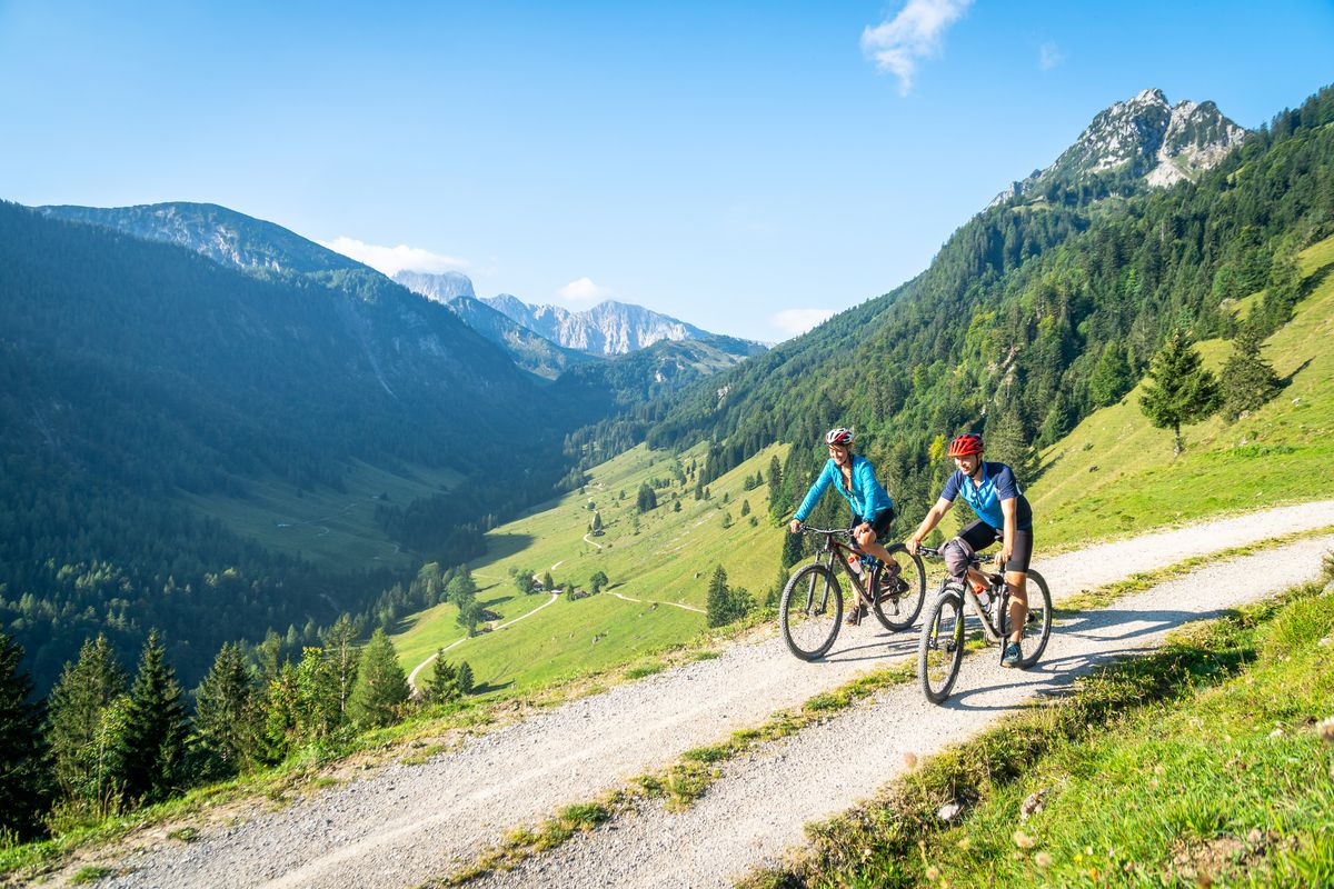
5 insider tips in Austria — wonderful MTB tours in Kaiserwinkl
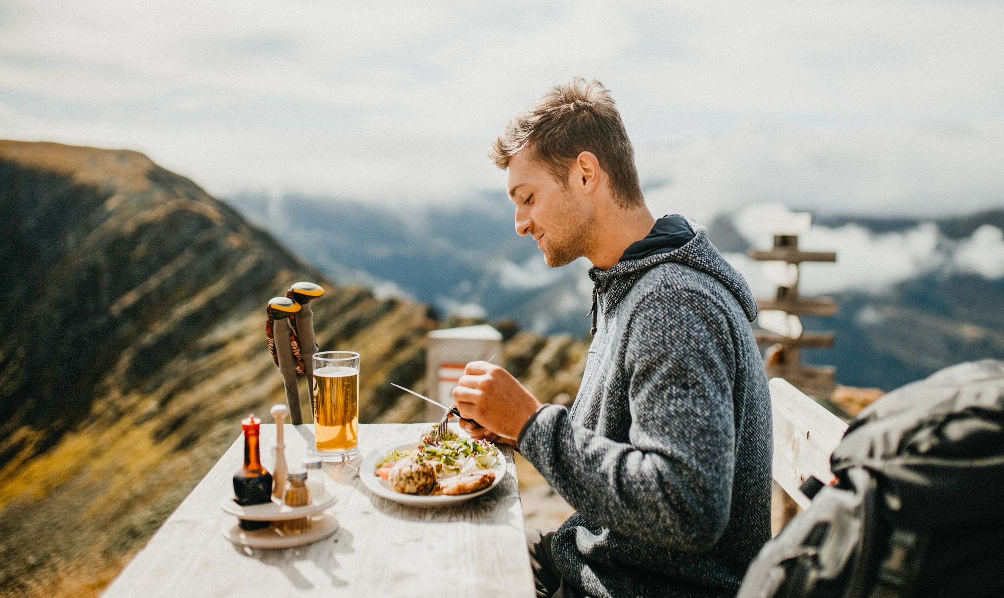
Mountain pastures and local dishes — hiking to the Tyrolean alpine huts
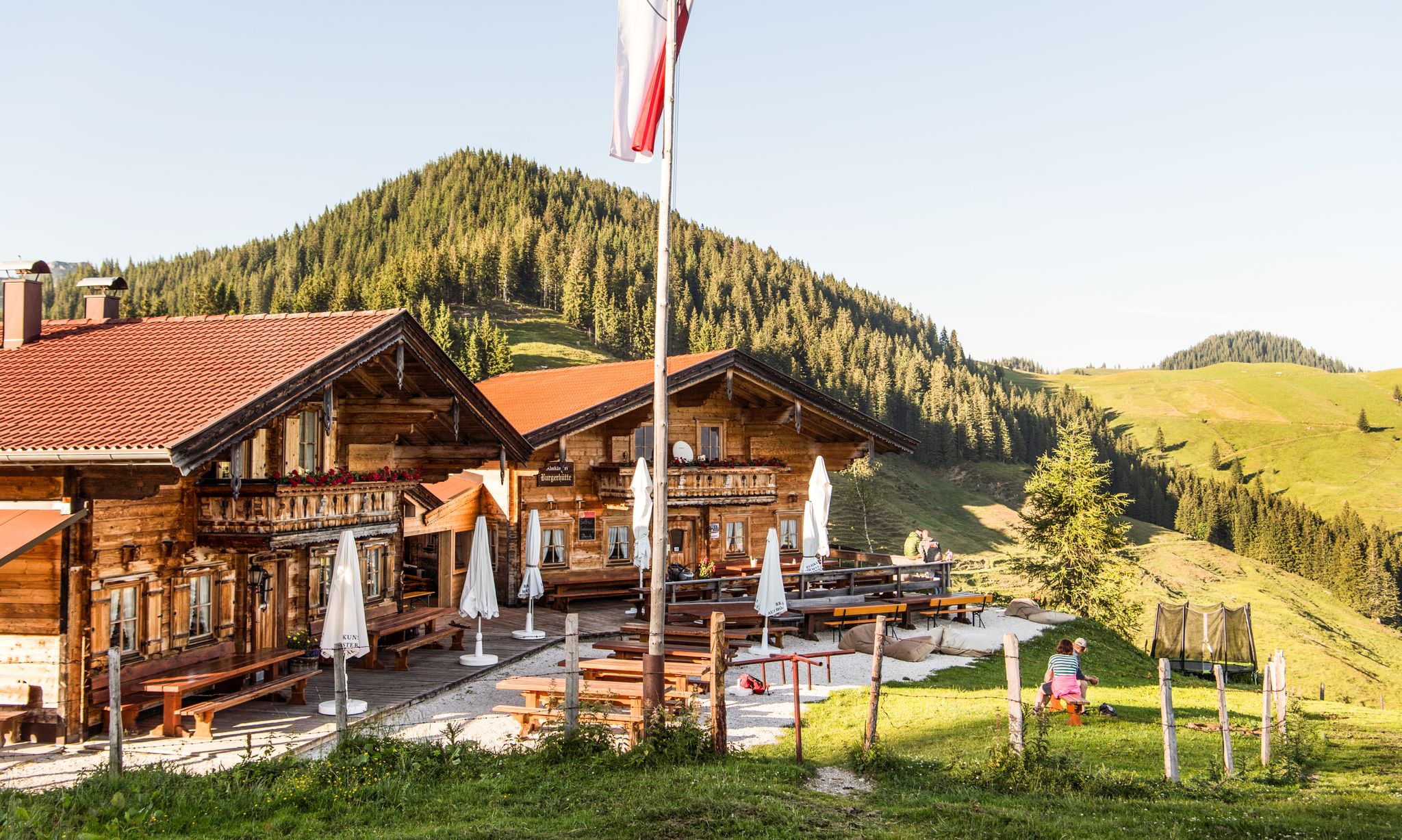
For mountaineers and gourmets – Tyrolean hikes for foodies
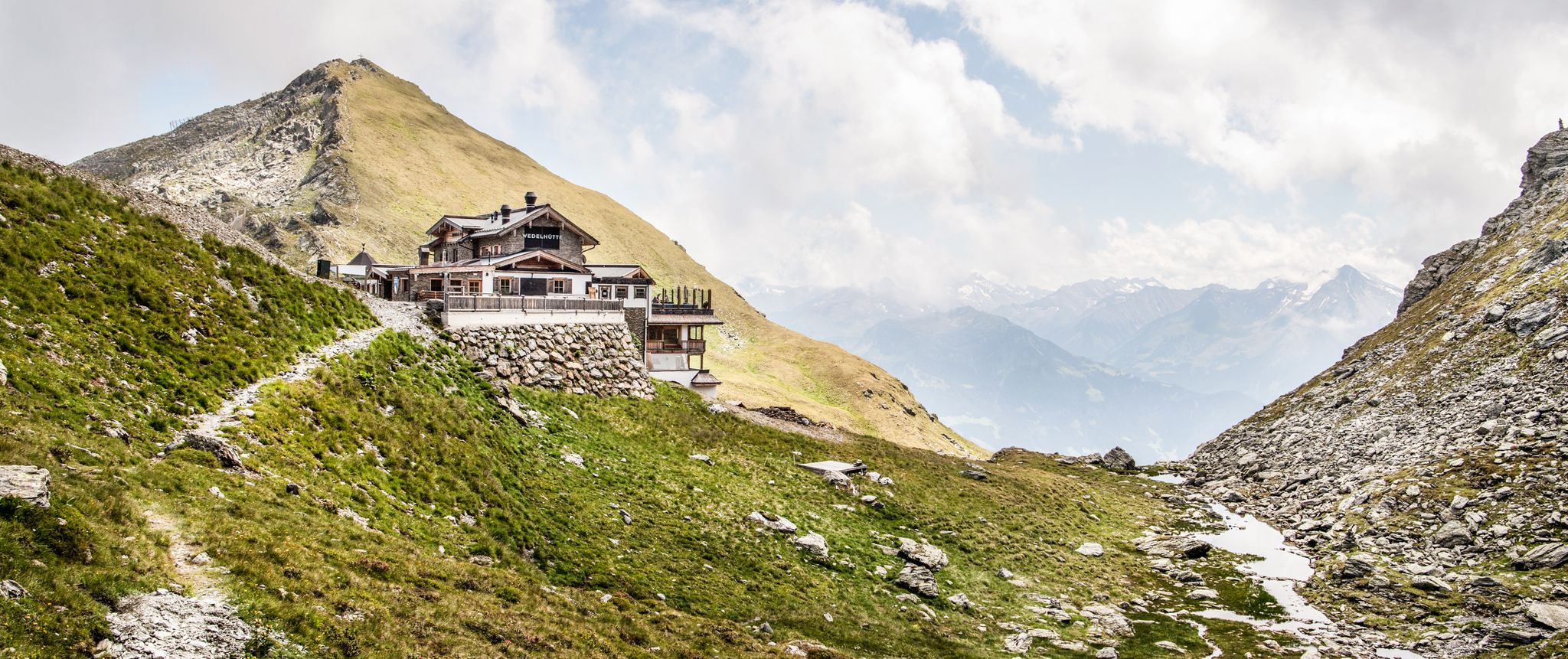
Amazing hiking & gourmet feasts – Taste of Place tours in Tyrol

Alles außer gewöhnlich – Tirol für Genießer
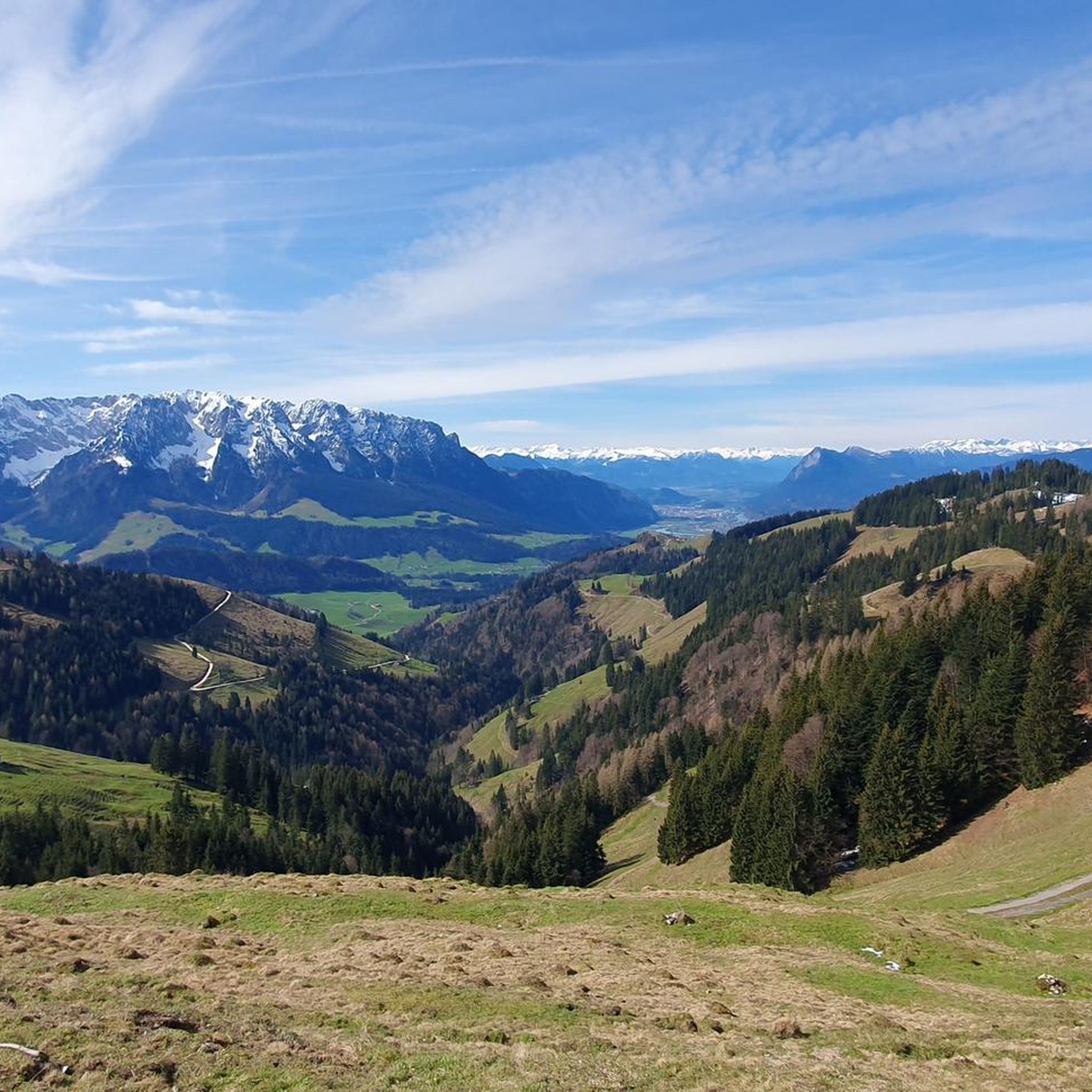
MTB Trails around Rettenschöss
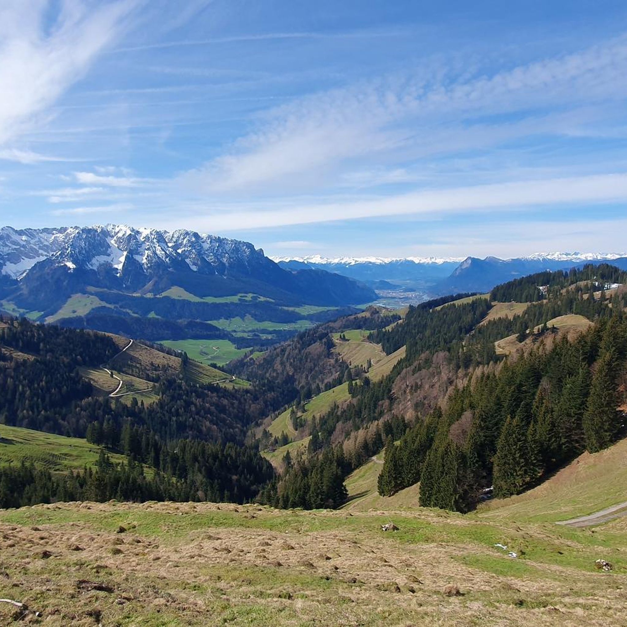
Road Cycling Routes around Rettenschöss
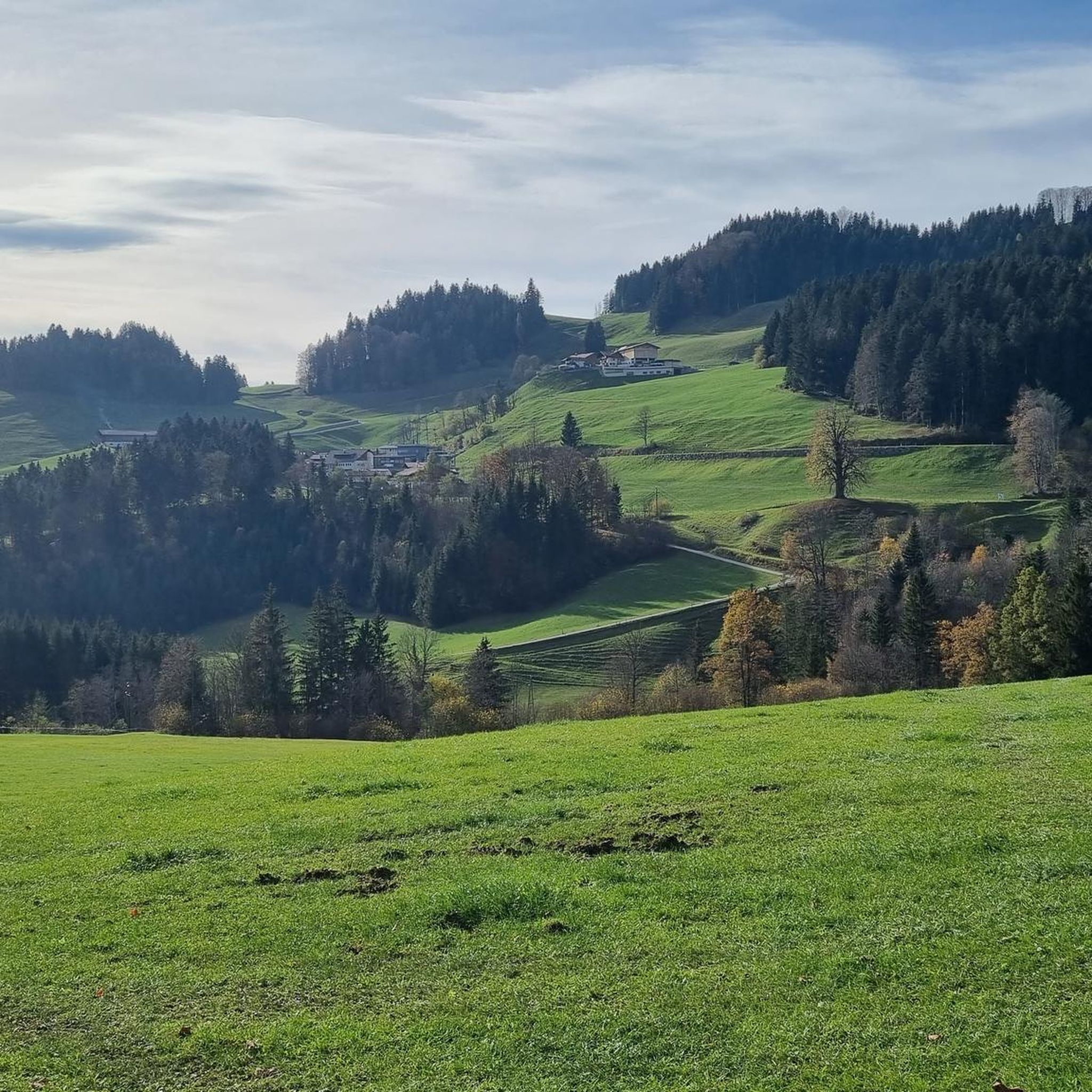
Hiking around Rettenschöss
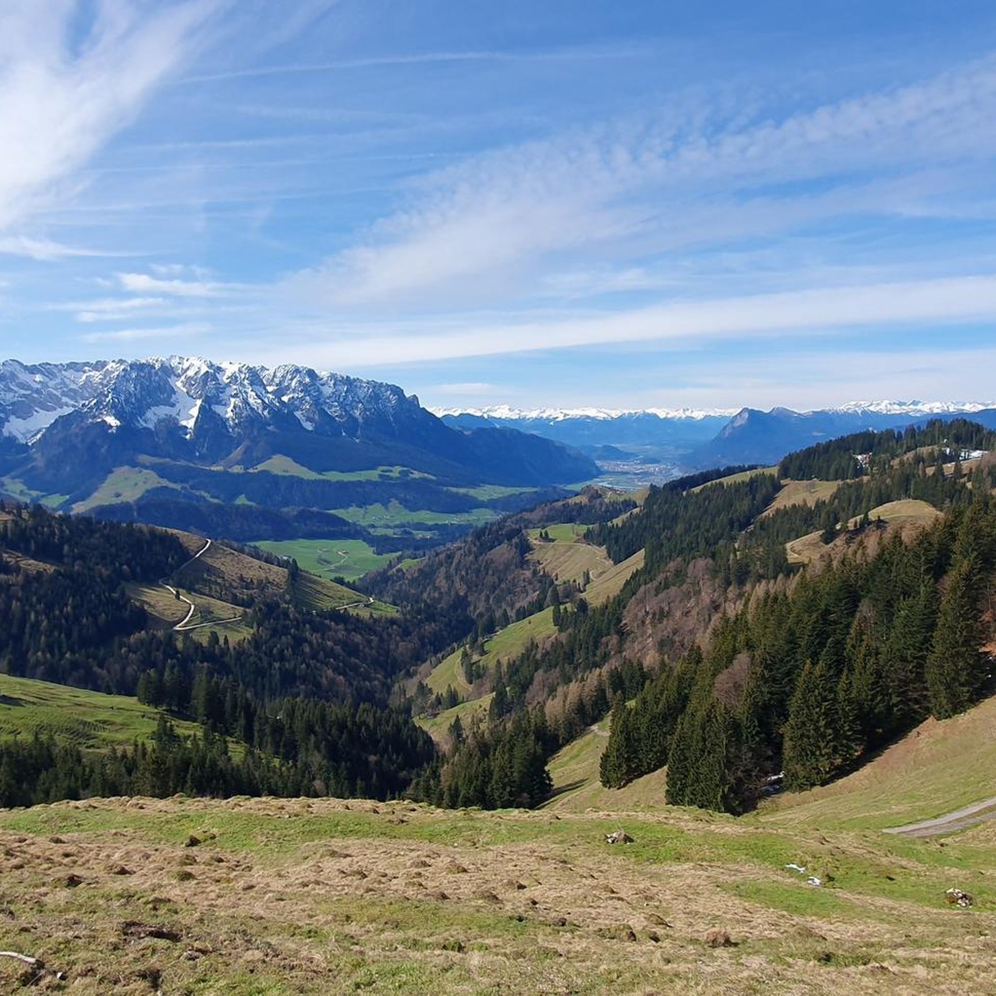
Cycling around Rettenschöss
Gravel biking around Rettenschöss
Other adventures around Rettenschöss


Tips from the Community

With clear visibility, you have one beautiful view after another
0
0

Very steep and lots of scree, stones, rocks and roots.
0
0

Each of the summit crosses that hikers often encounter in the mountains, whether or not it depicts the body of the crucified Christ, invites passersby to a brief spiritual pause. Perhaps one or another will be able to encounter God here in a short prayer. As a prerequisite for a completely different mystical experience of encountering God, beyond such a small sacred monument, Hape Kerkeling, who made the pilgrimage on the Camino Francés in 2001, writes: “I am becoming freer here day by day (…) Through all the frequencies of emotion, I have slowly tuned myself into one frequency and had a wonderful reception. Total serene emptiness is the state that creates a vacuum which God can then calmly and completely fill.” (Hape Kerkeling in “I’m Off Then”)
0
0

And afterwards Kaiserschmarrn in the Spitzsteinhaus
0
0

Beautiful and exciting climb. !!!!!You should bring some experience with you!!!!!!
0
0
Great summit with a great view
0
0
A great climb that you can do without equipment
0
0
Frequently Asked Questions
How many mountaineering routes can I explore around Rettenschöss?
Rettenschöss offers a vast network of over 300 mountaineering routes, catering to various skill levels. You'll find everything from moderate ascents to more challenging summit tours within the Kaiserwinkl region.
What is the best time of year for mountaineering in Rettenschöss?
The Kaiserwinkl region, including Rettenschöss, is ideal for mountaineering from spring through autumn. During these seasons, you'll experience pleasant temperatures, lush alpine meadows, and clear views of the Zahmer Kaiser and River Inn Valley. While winter offers opportunities for snowshoeing or winter hiking, traditional mountaineering is best enjoyed in the warmer months.
Are there any easy or beginner-friendly mountaineering routes in Rettenschöss?
Yes, Rettenschöss has several routes suitable for beginners or those looking for a less strenuous experience. For example, the area offers 9 easy routes and 141 moderate routes. While specific easy routes aren't highlighted here, you can find many options that traverse alpine pastures and cooling forests, providing a gentle introduction to the region's beauty.
Are there any circular mountaineering routes around Rettenschöss?
Absolutely! Many routes in Rettenschöss are designed as loops, allowing you to start and end in the same location. A popular choice is the Wandberg Summit (1,454 m) – Maria Hilf Chapel loop from Rettenschöss, which takes you through alpine pastures and forests. Another option is the Alm Pond at Geigelstein loop from Sachrang, offering varied mountain scenery.
What kind of terrain can I expect on mountaineering routes in Rettenschöss?
The terrain around Rettenschöss is diverse, ranging from cooling forests that provide shade to extensive alpine meadows. You'll encounter well-maintained paths, but also more rugged sections, especially on challenging summit tours. The region is characterized by high mountain ranges and traditional alpine pastures, with elevations between 600 and 1,450 meters above sea level. Sure-footedness and sturdy shoes are recommended for harder trails.
What are some notable landmarks or attractions I can see along the mountaineering routes?
As you explore the routes, you'll encounter various points of interest. The Entenloch Gorge Suspension Bridge offers an impressive natural spectacle, and the Eiben Gorge Viewpoint provides scenic vistas. You might also pass by mountain huts like Steinlingalm Alpine Hut, perfect for a rest. The Spitzstein Summit is a prominent peak offering expansive alpine views.
Are there any challenging mountaineering routes for experienced climbers?
Yes, for those seeking a challenge, Rettenschöss offers 167 difficult mountaineering routes. An example is the Altkasern Alm – Spitzstein Summit loop from Sachrang, a demanding trail that ascends to the Spitzstein Summit. Another challenging option is the Wildbichl Alpine Hut – Wandberg Summit (1,454 m) loop from Niederndorferberg, which covers a significant distance and elevation gain.
What do other mountaineers say about the routes in Rettenschöss?
The mountaineering routes in Rettenschöss are highly regarded by the komoot community, boasting an impressive average rating of 4.8 stars from over 1200 reviews. Many users praise the varied terrain, the stunning views of the Zahmer Kaiser, and the well-maintained trails that cater to different fitness levels.
Is there parking available near the trailheads in Rettenschöss?
Yes, parking is generally available near the starting points of many mountaineering routes in and around Rettenschöss. Specific parking information can often be found on individual route descriptions on komoot, helping you plan your access to the trails.
Can I reach the mountaineering routes using public transport?
Public transportation options are available to reach the Kaiserwinkl region and some trailheads around Rettenschöss. While direct access to every single trailhead might vary, local bus routes often connect the village to key starting points for hikes. It's advisable to check local transport schedules for the most up-to-date information on reaching specific routes.
Are there any routes that offer particularly good views of the Zahmer Kaiser?
The Zahmer Kaiser Mountain is a defining landmark of Rettenschöss, and many routes offer spectacular views of this imposing peak. The View of the Zahmer Kaiser – Wildbichl Alpine Hut loop from Sachrang is specifically designed to showcase these vistas, providing breathtaking panoramas of the surrounding Tyrolean mountains.
Are there any permits required for mountaineering in the Kaiserwinkl region?
Generally, no specific permits are required for hiking or mountaineering on the marked trails in the Kaiserwinkl region around Rettenschöss. However, it's always good practice to respect local regulations, especially concerning protected areas or private land. Always stay on marked paths and be mindful of the alpine environment.
Most popular routes around Rettenschöss
Most popular attractions around Rettenschöss

Get inspired with the komoot mobile app


Explore more
Browse the best Mountain Hikes & Routes in other regions.
