The best hikes from bus stations around Rettenschöss
4.6
(37114)
178,748
hikers
6
hikes
Bus station hiking trails around Rettenschöss offer access to the diverse landscapes of the Kaiserwinkl region in Tyrol, Austria. The area is characterized by its alpine pastures, dense forests, and the prominent peaks of the Tyrolean mountains, including Mount Zahmer Kaiser. Hikers can explore varied terrain, from lower elevations with scattered farms to higher mountain paths, providing views of the Inn Valley.
Best bus station hiking trails around Rettenschöss
- The most popular bus station hiking route is Winkelalm – Winkelkar loop from Seetal, a 7.1 miles (11.4 km) trail that takes 4 hours 41 minutes to complete. This moderate route features significant elevation gain through alpine scenery.
- Another top favourite among local hikers is View of Aschinger Alm – Aschinger Alm loop from Rettenschöss, a moderate 8.6 miles (13.9 km) path. This trail offers views towards the Aschinger Alm and passes through forests and meadows.
- Local hikers also love the View of the Zahmer Kaiser loop from Rettenschöss Schmidtal, a 4.4 miles (7.0 km) trail leading through varied terrain with views of the Zahmer Kaiser, often completed in about 1 hour 55 minutes.
- Hiking around Rettenschöss is defined by alpine pastures, forests, and mountain views, with routes catering to both easy strolls and more challenging ascents. The network of trails provides options for different ability levels, many accessible directly from bus stops.
- The routes in Rettenschöss are highly rated by the komoot community with an average score of 4.6 stars from over 32,000 reviews. More than 165,000 hikers have used komoot to explore Rettenschöss's varied terrain.
Last updated: September 30, 2026
4.5
(21)
97
hikers
11.4km
04:41
740m
740m
Moderate hike. Good fitness required. Mostly accessible paths. Sure-footedness required.
4.8
(15)
66
hikers
13.9km
04:21
510m
510m
Moderate hike. Good fitness required. Mostly accessible paths. Sure-footedness required.

5.0
(4)
23
hikers
6.74km
02:15
330m
330m
Moderate hike. Good fitness required. Mostly accessible paths. Sure-footedness required.
4.0
(1)
7
hikers
Moderate hike. Good fitness required. Easily-accessible paths. Suitable for all skill levels.
2.0
(3)
6
hikers
7.01km
01:56
110m
110m
Easy hike. Great for any fitness level. Easily-accessible paths. Suitable for all skill levels.
Our route recommendations are based on thousands of hikes, rides, and runs completed by other people on komoot.
Start today with a free account
Your next adventure awaits.
Popular around Rettenschöss


Other adventures around Rettenschöss


Tips from the Community


With the Kaiserwinkel guest card you can park here for free.
0
0

If you start from the Zahmer Kaiser T-bar lift top station, walk left up into the forest. Shortly after the top station, there's another left turn. This is a dead-end road that offers a beautiful view of Lake Walchsee, but at the end there's a steep, unguarded drop of about 50 meters. Life-threatening! Extreme caution is advised here.
0
0

Delicious stopover - closed Tuesday and Wednesday
1
0
Certainly a nice restaurant in a great location, but closed Monday to Wednesday
1
0

The view of the Kaiser Mountains is simply something special.
0
0
The view of the Zahmer Kaiser is very beautiful.
0
0

The approach to this hiking car park is the first challenge for those from the lowlands of Tyrol. Serpentines lead up the mountain, not always with guardrails.
0
1
Frequently Asked Questions
How many bus-accessible hiking trails are available around Rettenschöss?
There are 6 dedicated hiking trails around Rettenschöss that are easily accessible from local bus stations. These routes offer a range of experiences, from easy strolls to more challenging moderate hikes.
Are there easy, bus-accessible hikes suitable for beginners or families?
Yes, there is an easy route perfect for beginners or families. The View of the Zahmer Kaiser loop from Rettenschöss Schmidtal is an easy 7 km loop with minimal elevation gain, offering pleasant views of the iconic Zahmer Kaiser mountain.
What kind of natural attractions or viewpoints can I expect on bus-accessible trails?
Many bus-accessible trails in Rettenschöss offer stunning natural features and viewpoints. You can explore the impressive Entenloch Gorge Suspension Bridge and the scenic Eiben Gorge Viewpoint. The region also provides breathtaking panoramic views of the Inn Valley and surrounding Tyrolean mountains like Mount Zahmer Kaiser and Wandberg.
Are there any themed trails or historical points of interest accessible by bus?
Yes, the region features the engaging Smuggler's Trail along the Großache, which includes suspension bridges and leads to the pilgrimage church Maria Klobenstein. This trail offers a blend of natural beauty and local history, making it a unique experience.
What is the best time of year to hike these bus-accessible trails in Rettenschöss?
The hiking season in Rettenschöss generally runs from spring through autumn, offering pleasant temperatures and vibrant landscapes. However, the region also transforms into a beautiful winter wonderland, providing opportunities for contemplative winter hikes and snowshoeing on suitable routes.
Are the bus-accessible hiking trails around Rettenschöss suitable for dogs?
Many trails in the Rettenschöss and Kaiserwinkl region are dog-friendly, allowing you to enjoy the outdoors with your canine companion. Always keep dogs on a leash, especially near livestock or in protected areas, and ensure you carry water for them.
Are there circular routes available directly from bus stops?
Yes, several routes are designed as loops, allowing you to start and end your hike at the same bus stop. For example, the Winkelalm – Winkelkar loop from Seetal and the View of Aschinger Alm – Aschinger Alm loop from Rettenschöss are excellent circular options.
Are there places to eat or rest along the bus-accessible routes?
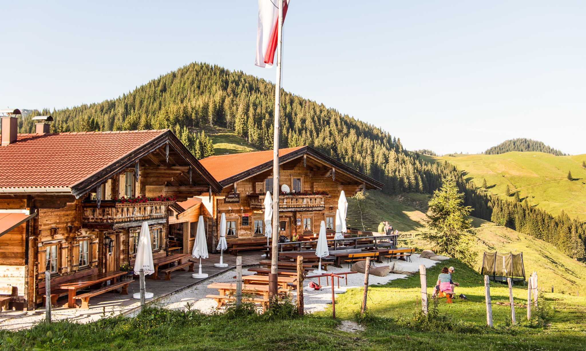
Yes, many trails lead past or near traditional alpine pastures and mountain huts. You can find places like the Wildbichlalm, Burgeralm Cheese Dairy, and Priener Hut, which offer opportunities for rest and enjoying local dishes and refreshments.
Is the Kaiserwinkl Card useful for bus travel to these trailheads?
The Kaiserwinkl Card often provides benefits for public transport within the region, which can be very useful for accessing various trailheads around Rettenschöss. It's advisable to check the current benefits and validity of the card for public transport use.
What do other hikers say about the bus-accessible trails in Rettenschöss?
The bus-accessible trails in Rettenschöss are highly regarded by the komoot community, with an average rating of 4.6 out of 5 stars. Hikers frequently praise the stunning panoramic views, the well-maintained paths, and the peaceful immersion in nature that these routes offer.
Can I find moderate hikes with good views that are accessible by bus?
Absolutely. The View of the Chiemgau Alps – Faistenau Hiking Car Park loop from Rettenschöss is a moderate 11.5 km route offering beautiful vistas. Another great option is the Aschinger Alm loop from Wolfing, a moderate 6.5 km hike with rewarding scenery.
Most popular routes around Rettenschöss
Most popular attractions around Rettenschöss

Get inspired with the komoot mobile app


Explore more
Browse the best Hikes in other regions.
